Exploring Lewes Lake & the Annie Lake Road, Yukon
After being city folks without dogs on Canada Day, we decided to head south somewhere with the fur-kids on July 2nd. The weather was erratic and as we drove down the South Klondike Highway we tossed around a few ideas. I suggested that Lewes Lake might be fun to look around – a unique place that we seldom go to.
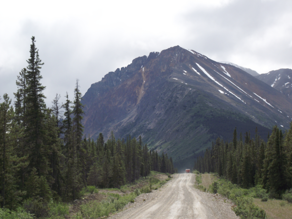
We turned right on the gravel access road at Km 128.6, and the first photo shows the road about a half-mile west of the highway.
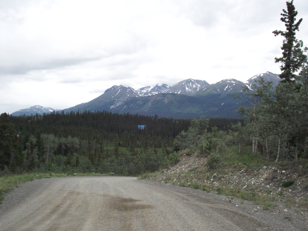
There are perhaps a dozen homes way off in the forest along the Lewes Lake road – once past them, the road narrows and gets rather rough.
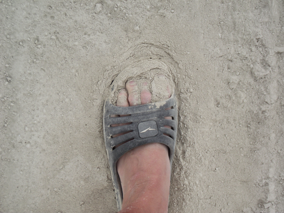
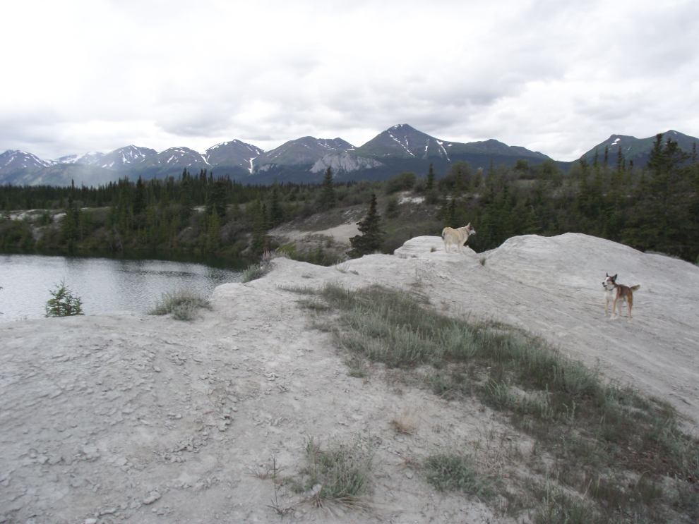
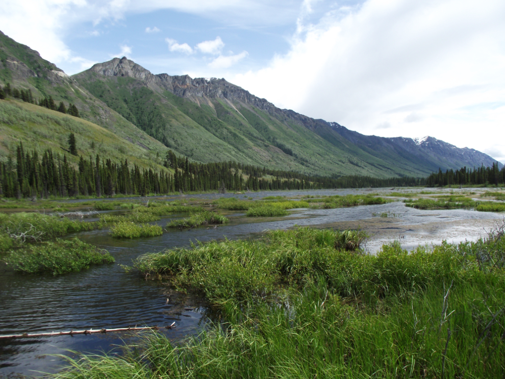
This is Lewes Lake. It was accidentally partially drained during construction of the White Pass & Yukon Route railway a century ago, and many acres of barren talcum-powder-fine glacial silt, once under water, remain high above the current shoreline.
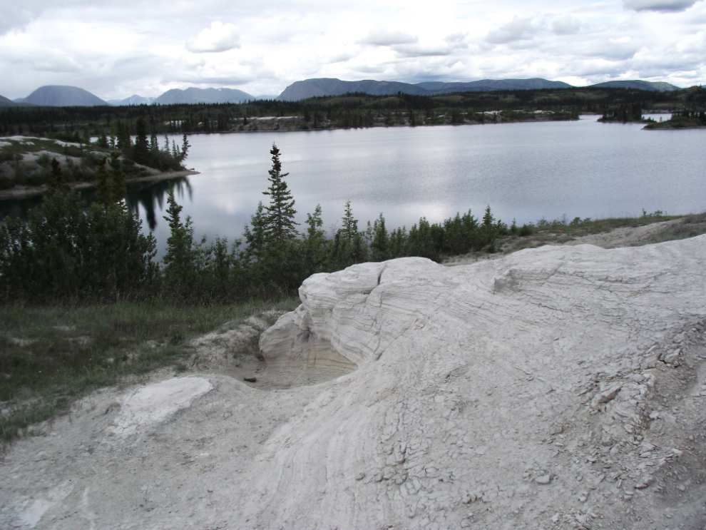
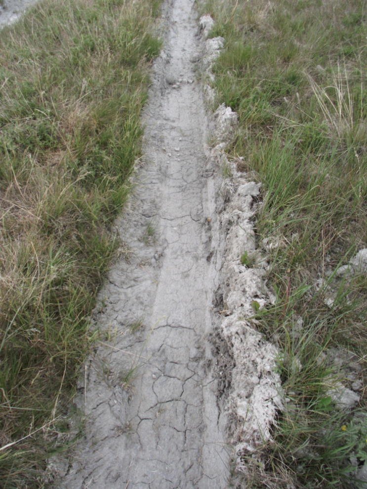
The dust is extremely fine.
This dried-up tire track gives an idea of what it’s like when it’s wet!
Erosion has created some interesting features, such as this little canyon that is driveable with a 4×4. Kayla and Monty had great fun here!
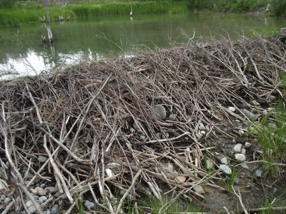
We hiked down to the shore to find a pair of large, fairly new, beautifully-crafted beaver dams.
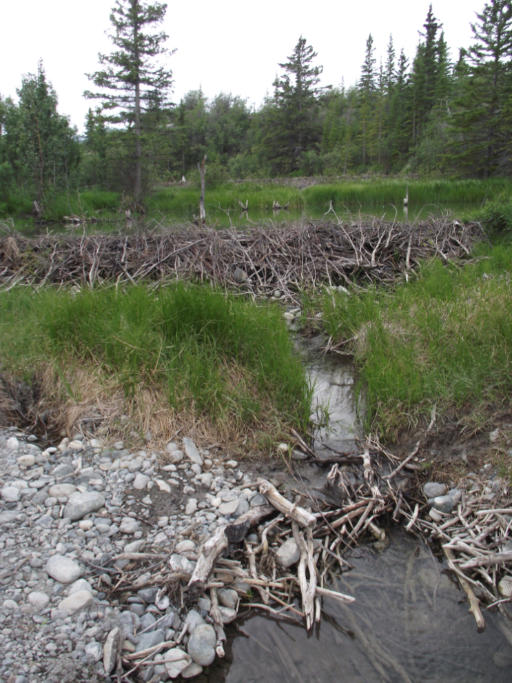
The upper dam is by far the largest – the skill and effort required to build a structure like this amazes me.
Kayla and Monty weren’t exactly anxious to leave. As well as the interesting landscape to explore, the silt must feel wonderful on their feet 🙂
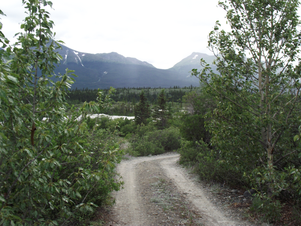
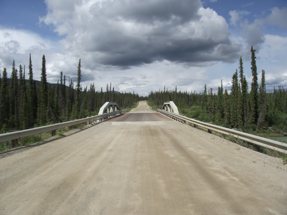
We left and headed for another place we seldom visit, the Wheaton Valley. I didn’t keep notes on the distances, but after we crossed over the first bridge, I stopped and walked back to get a couple of photos of the river.
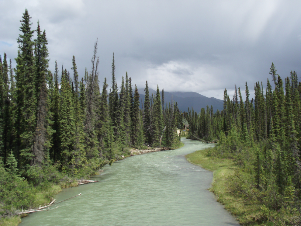
The light made the Watson River look quite different on each side of the bridge – the first photo is looking east…
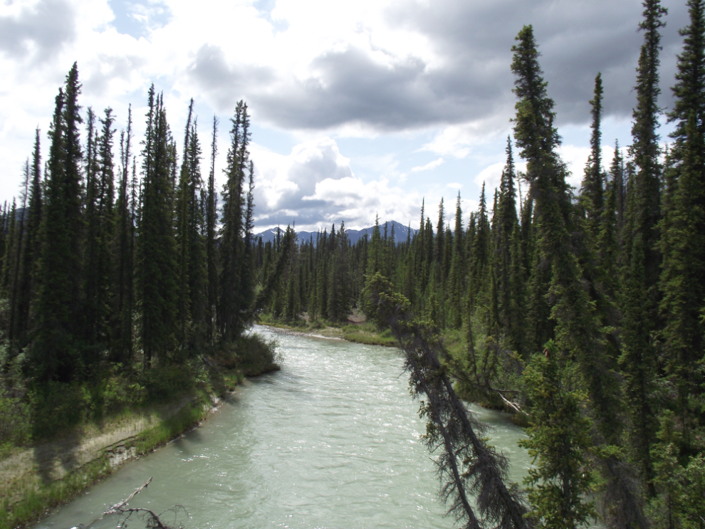
…and then west.
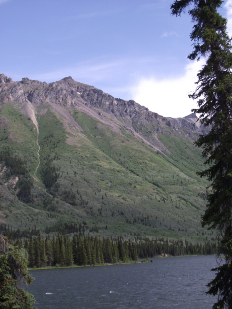
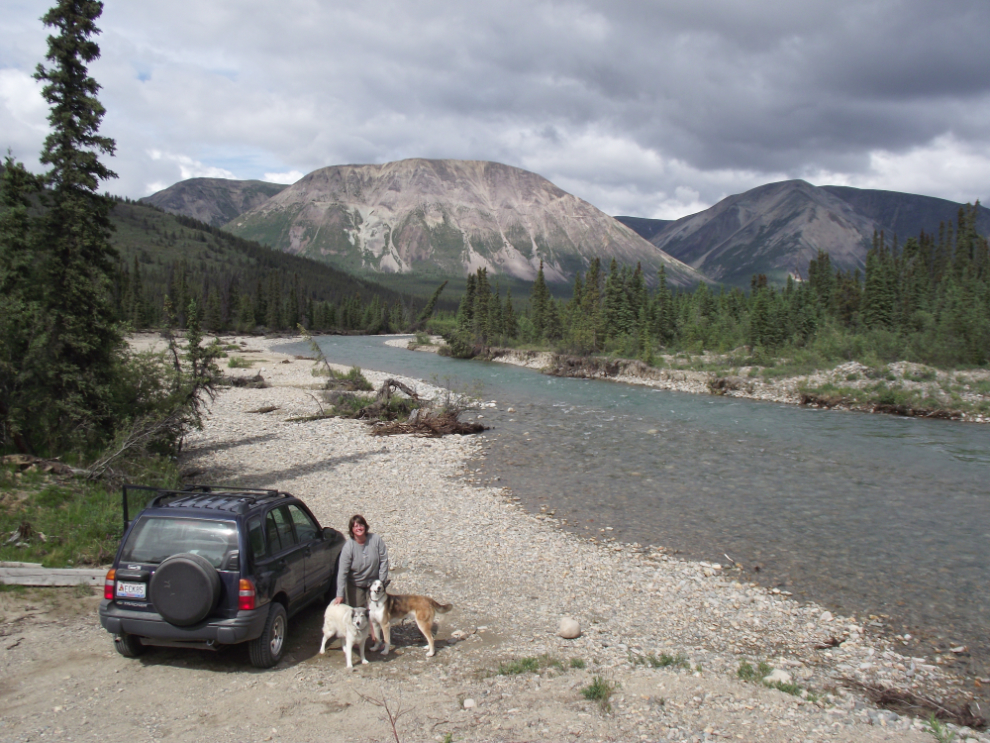
The water level at the bottom end of Annie Lake was very high.
Few people visit spectacular Annie Lake, no doubt at least partly because there are few public access points and no good beaches (at least I don’t know of any).
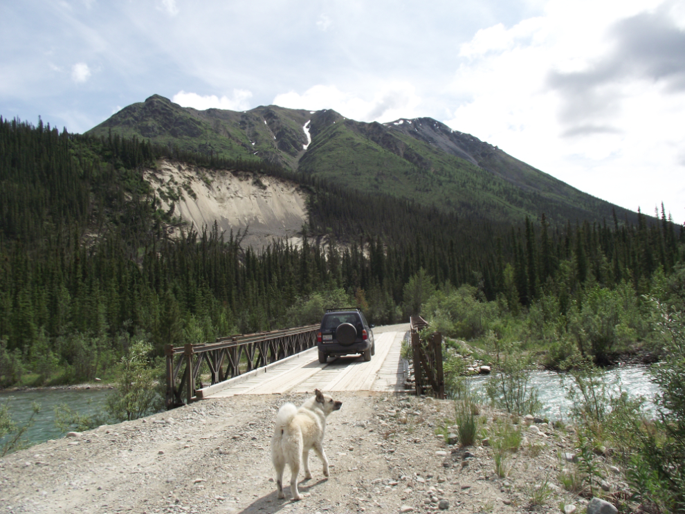
Crossing the Wheaton River. Over the years this bridge has often been the end of the road, as when all the mines closed, maintenance of it stopped and it got quite a swayback. With several mines and exploration camps now operating, the bridge is in good shape.
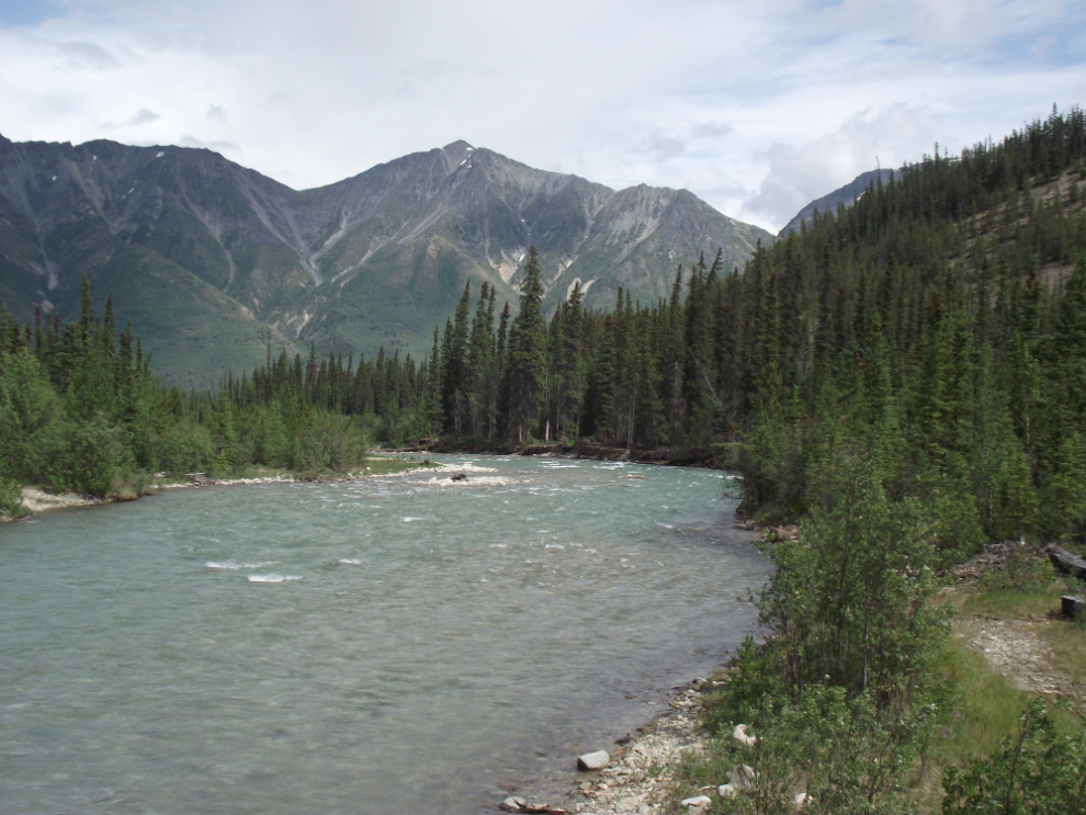
The Wheaton River, looking northeast.
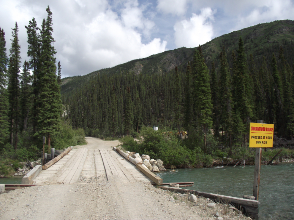
The sign on this bridge over the Wheaton River says: “Unmaintained Bridge: Proceed at Your Own Risk”. We had already crossed over it – this show was taken looking back. On the road going up the creek, there are several pieces of mining equipment being worked on – the road goes to the Goddell gold property of Tagish Lake Gold, and possibly to an antimony property being worked by Scout Explorations.
Looking down the Wheaton River – we spent quite a while here, with the beauty slightly marred by the sounds and smells of distant heavy equipment working.
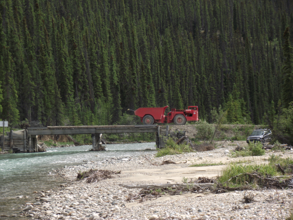
A truck crosses the Wheaton River bridge en route to one of the other properties being worked by Tagish Lake Gold.
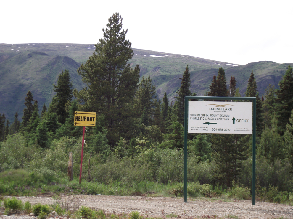
Direction signs for Tagish Lake Gold’s office, mines and heliport.
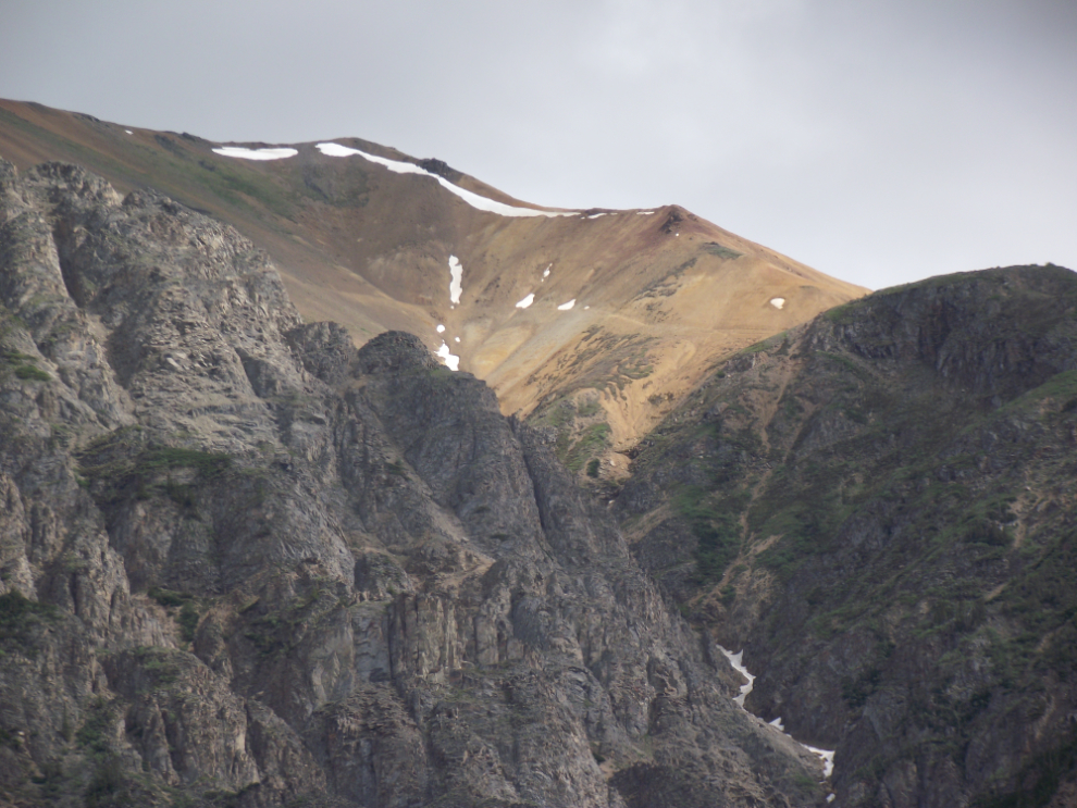
This was our turn-around point, a couple of miles past the Wheaton River bridge – that’s Mount McNeil ahead (about 7,500 feet high). I need to do some research on who is working back here and where so I know what’s accessible now. And I need to bring a GPS so I know exactly where I am 🙂
At the bottom is what I believe to be the Goddell camp.
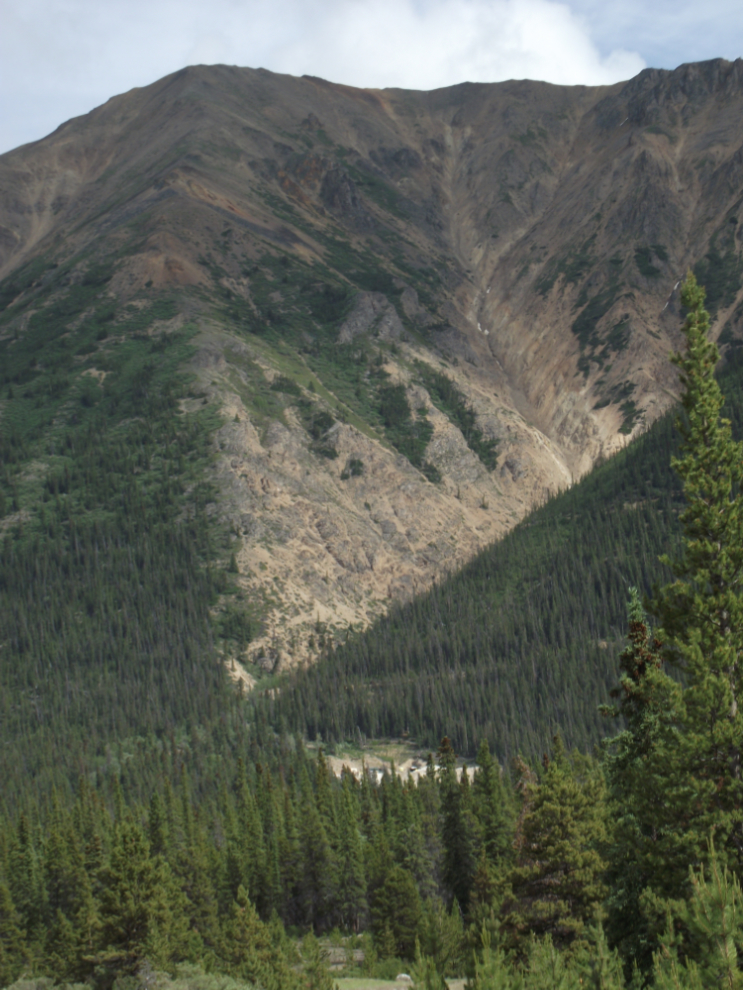
The geology of this entire region is hugely fascinating. About 15 years ago I spent a lot of time back here, and had decided that this would be the subject of my next book. There are old mines everywhere back here, dating back over a century. But I got side-tracked and the book never happened – but I do still have hundreds of pages of research notes, so you never know!