Exploring Dawson City, Yukon
Yesterday was our day to explore Dawson City – on tour in the morning, then with a free afternoon. My days always start early, but even more so on when I’m on tour – there’s simply a lot to do 🙂
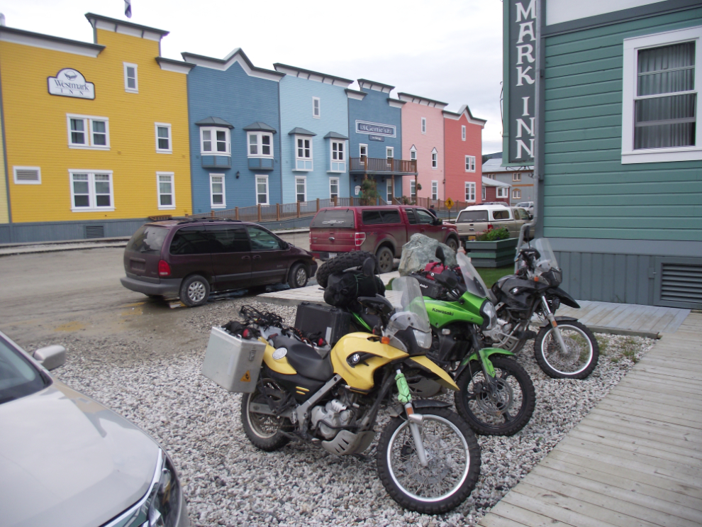
There are a surprising number of motorcycles in Dawson, particularly at the Westmark Hotel where we are. As well as these BMWs there are a couple of Harleys, a group of Goldwings and a few others.
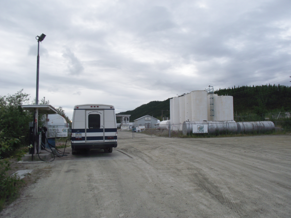
The first duty of the day was to get the bus fueled and cleaned. Fuel prices at the only station in town are simply a gouge at $1.62/liter for regular – you can save up to 20 cents a liter by driving a few miles back down the highway. On a 177-liter fillup like this one that’s a lot of money saved.
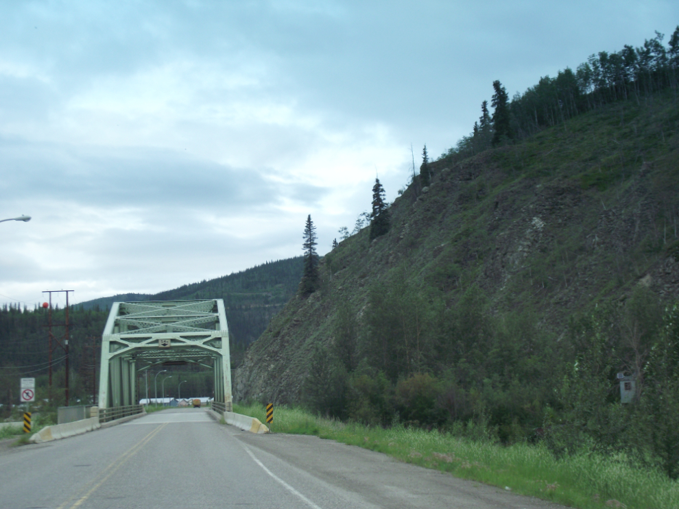
I mentioned yesterday about the approach to Dawson that always makes me smile – this is that spot.
By 07:40 the Westmark was a beehive of activity as the Holland America cruisetours get ready to depart either north to Eagle, Alaska or south to Whitehorse.
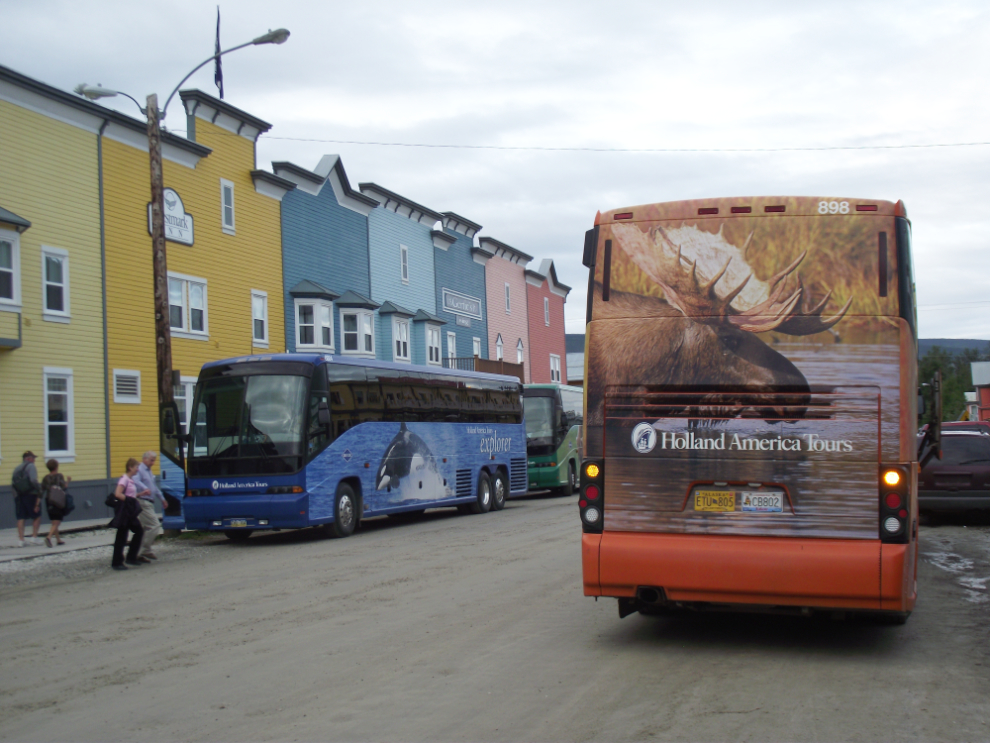
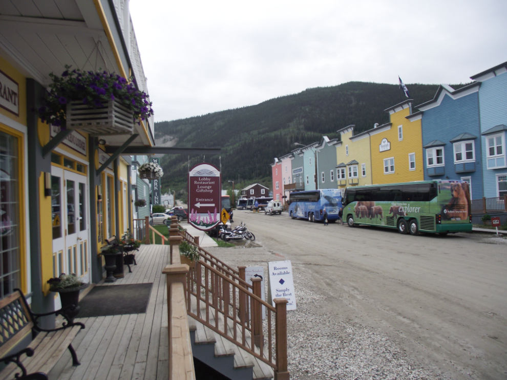
My group had a leisurely breakfast, then left for our tour at 09:00. I showed then around town, then we went up to the Midnight Dome, about 1,900 feet directly above Dawson. The interpretive sign in this photo talks about the summer solstice parties that have been held up here since Dawson’s earliest days.
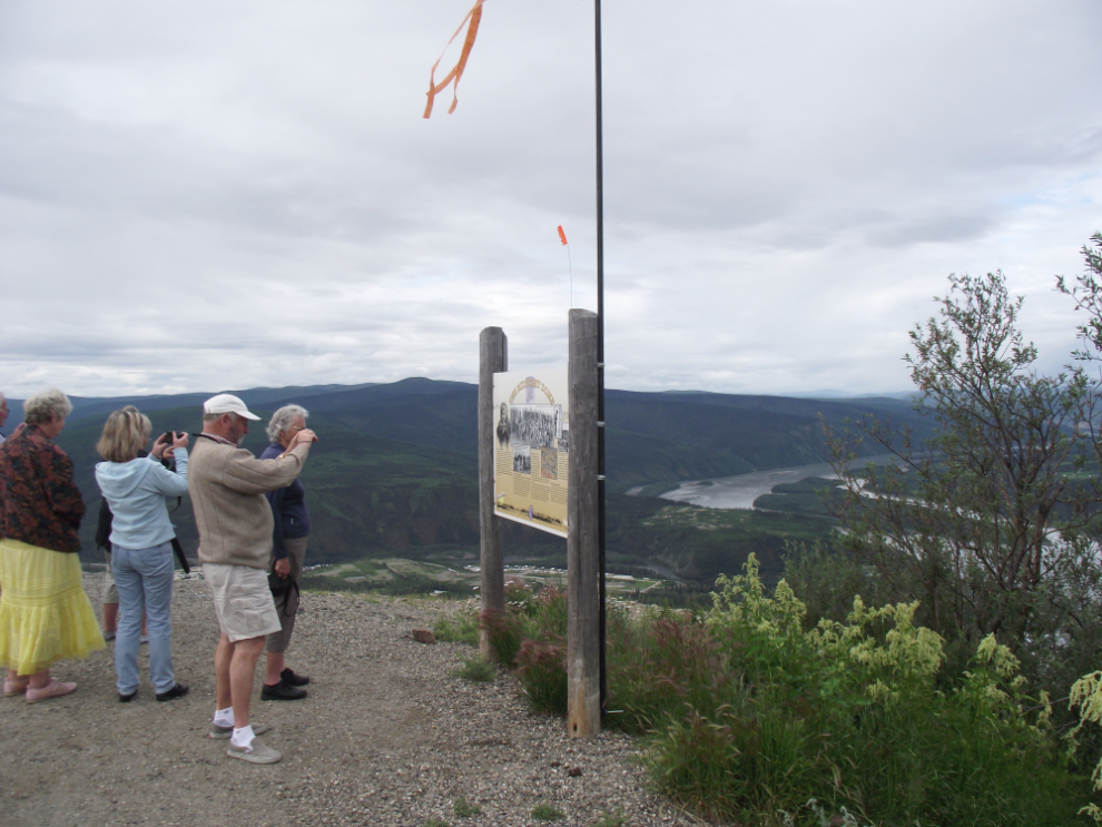
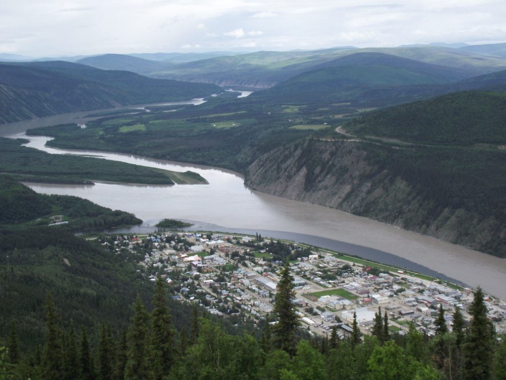
This shot is from the highest point of the viewing area, looking southwest up the Yukon River.
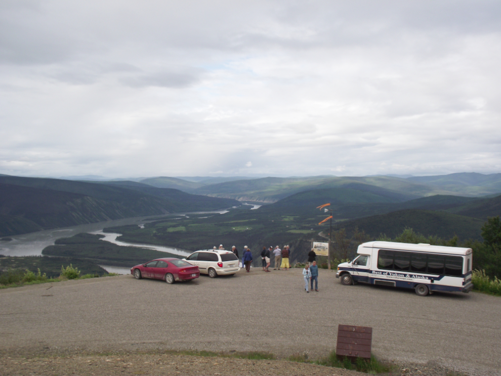
This classic view of Dawson City is offered by walking a couple of hundred feet down the slope from the parking area.
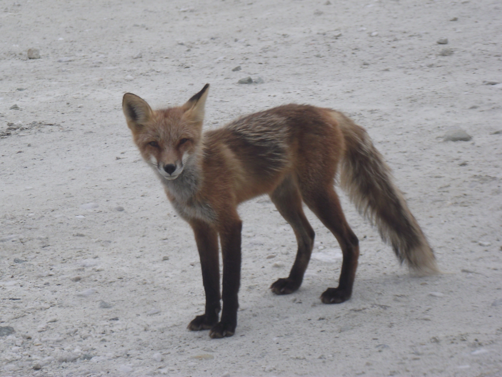
We then headed up the Bonanza Creek Road to look at the historic and current placer gold mining. This fox was very accommodating about posing for photos in front of and on both sides of the bus! 🙂
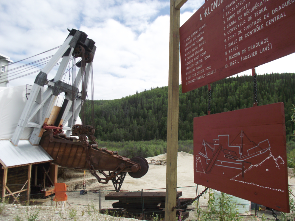
We stopped and went for a walk at the Discovery Claim where gold was found in August 1896 and dramatically changed this part of the world forever. Then up to the site of Grand Forks, a town of 10,000 people which has totally vanished, than back to Dredge No. 4, the largest wooden-hulled bucket-line gold dredge in North America.
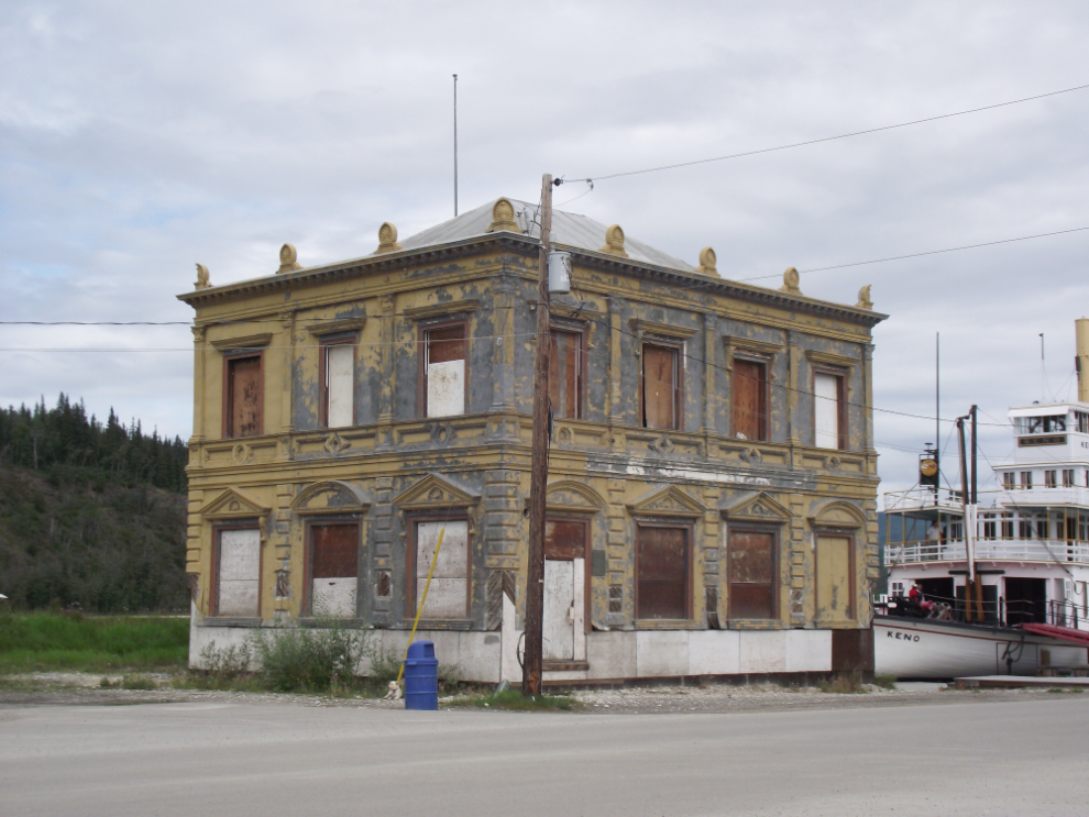
By 12:30 we were back in town and people spread out for lunch and to begin their own explorations. Even though I have thousands of photos of Dawson, I’m always taking more because things change so often. This is the privately-owned Bank of Commerce where poet Robert W. Service worked – the oft-heard stories about its imminent restoration never come to pass.
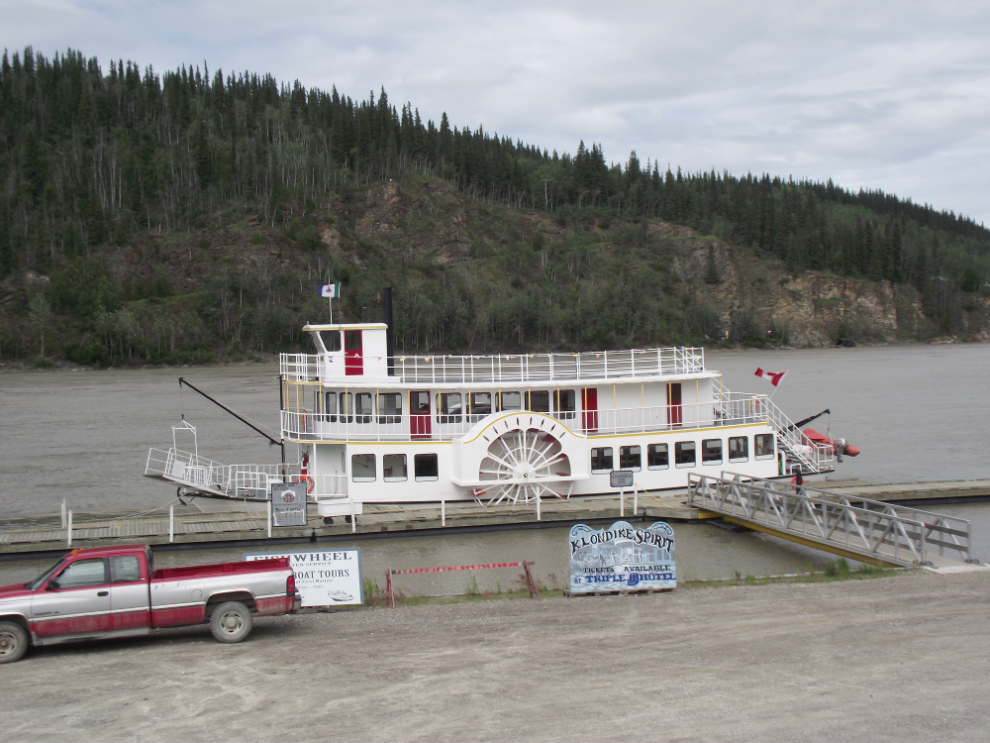
This is the Klondike Spirit, a new tour boat on the Yukon River. The next time Cathy and I come up we’ll definitely be taking a trip on her.
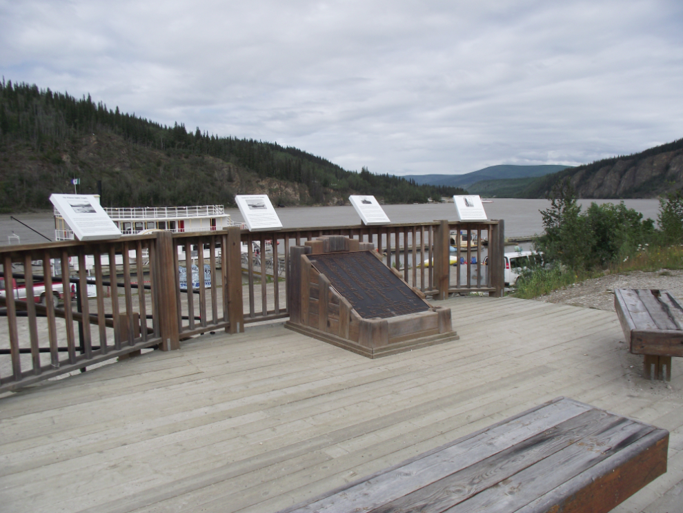
This is a memorial to the 343 men, women and children, many from Dawson, who died when the steamer Princess Sophia sunk in October 1918. Dawson lost many of its most prominent citizens and may have never truly recovered.
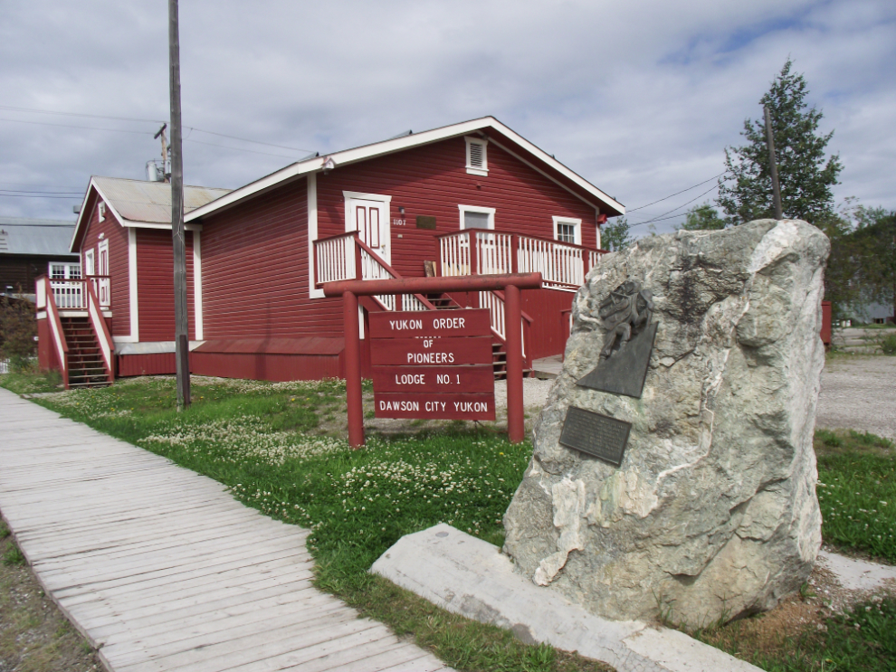
This is the home of the Yukon Order of Pioneers, a fraternal organization that was formed by a group of miners a few years before the Klondike gold strike. Being a YOOP member used to be quite a badge of honour for Yukoners, but they’ve become virtually invisible in recent years.
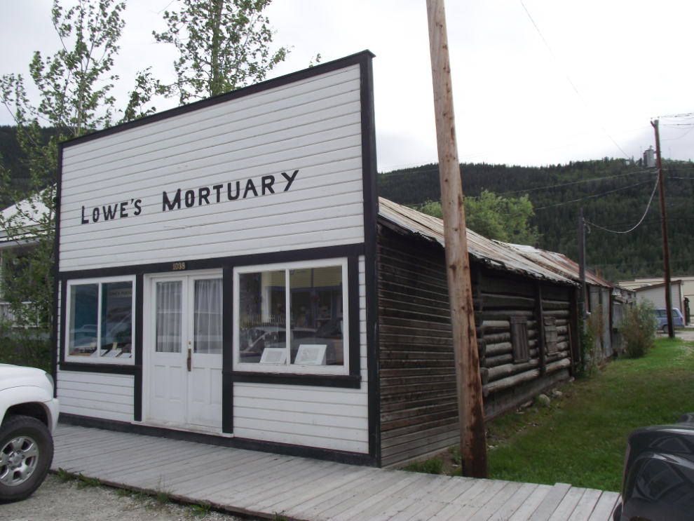
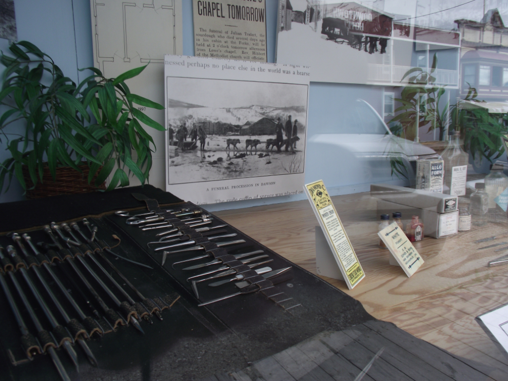
Of the 35 buildings in Dawson controlled by Parks Canada, Lowe’s Mortuary is one of my favourites. The “growth” architecture is wonderful and the window display shows an interesting aspect of life in the early days.
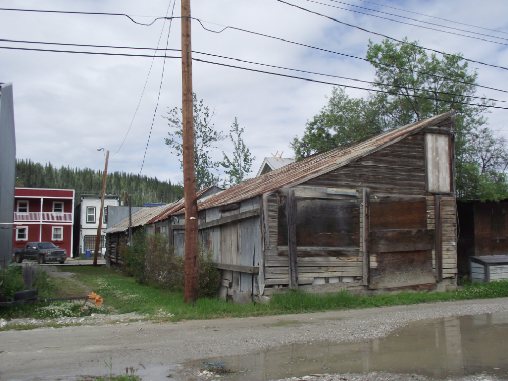
The back of Lowe’s Mortuary looks very different than the front.
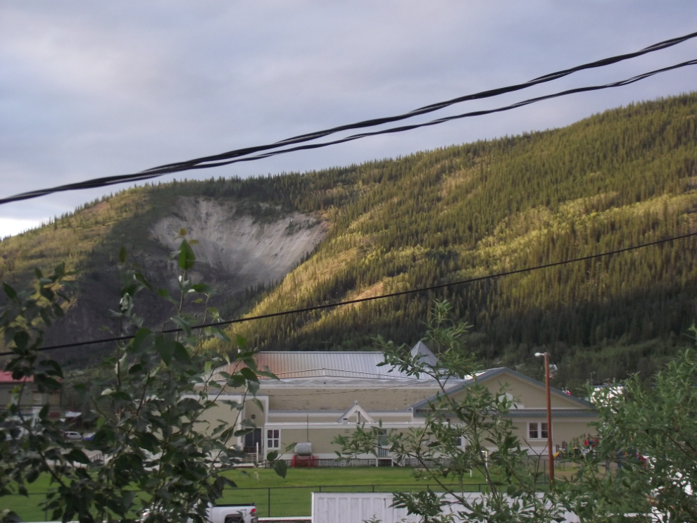
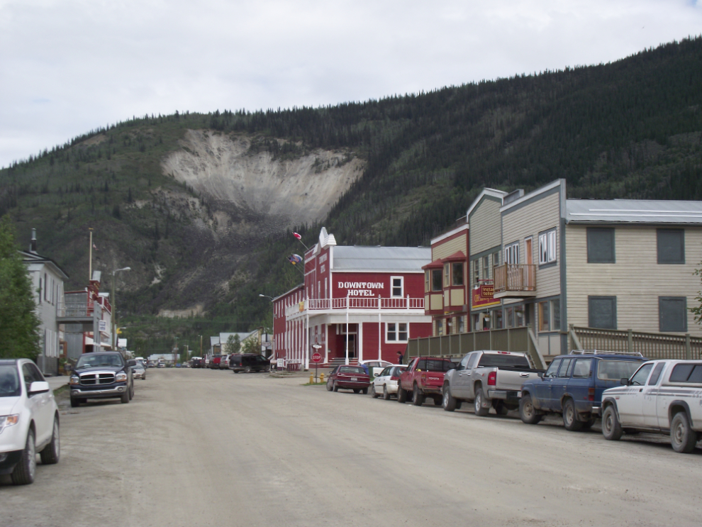
One of the classic views of Dawson, looking up 2nd Avenue to the Moosehide Slide.
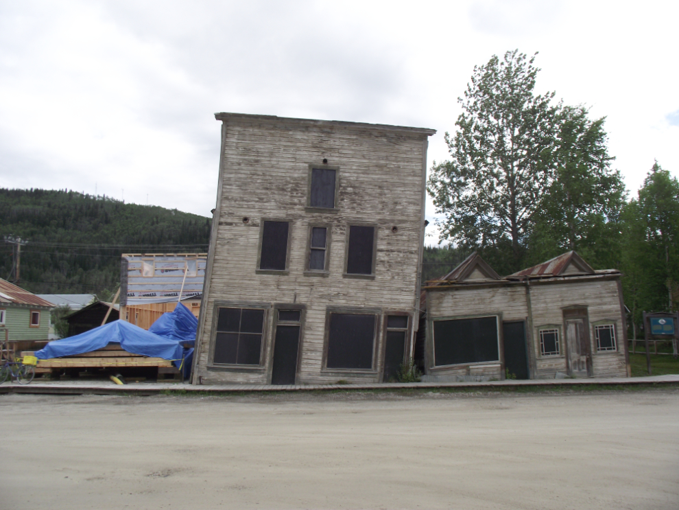
These tilting buildings on 3rd Avenue show the effects of permafrost shifting – as much a problem today as it was historically, with both buildings and roads.
The Dawson City Museum was my next stop, and I was pleased to see others from my group there.
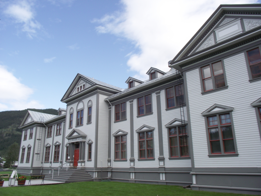
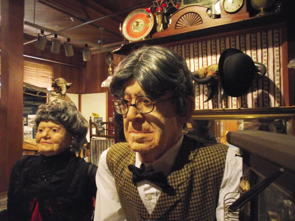
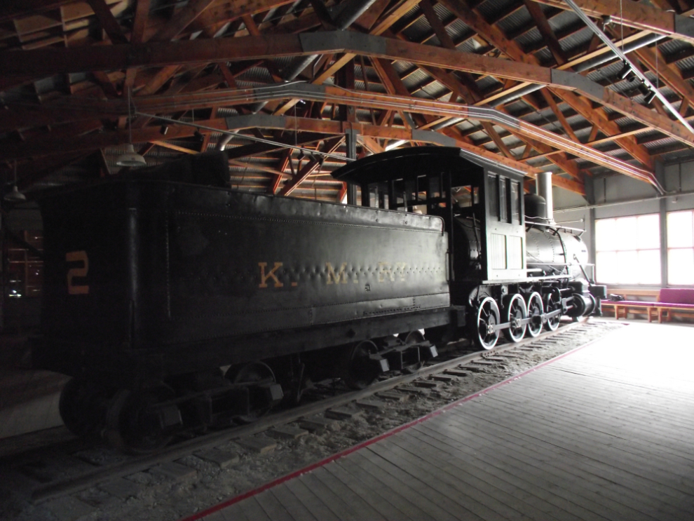
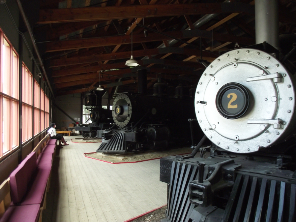
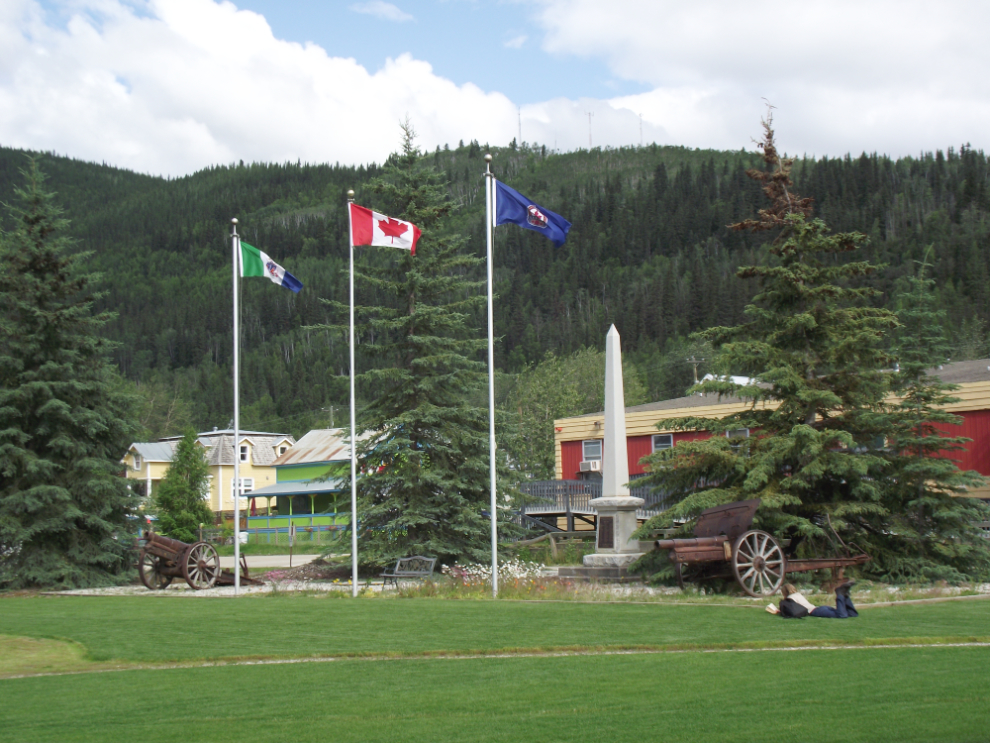
The war memorial beside the museum. The list of men who died in the First World War is long, the list for the Second World War much shorter because there were very few people still living in Dawson.
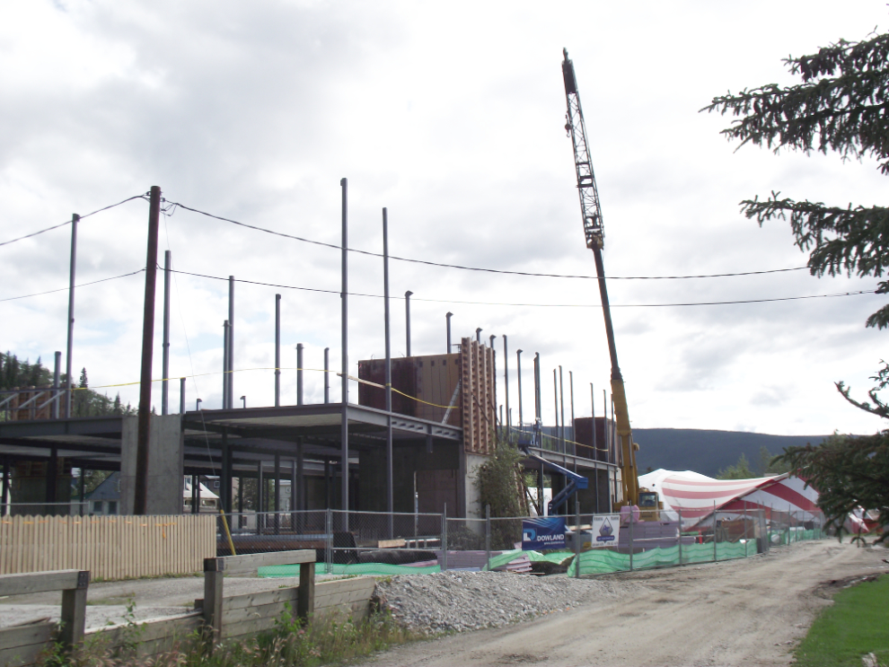
The new hospital being built behind the museum.
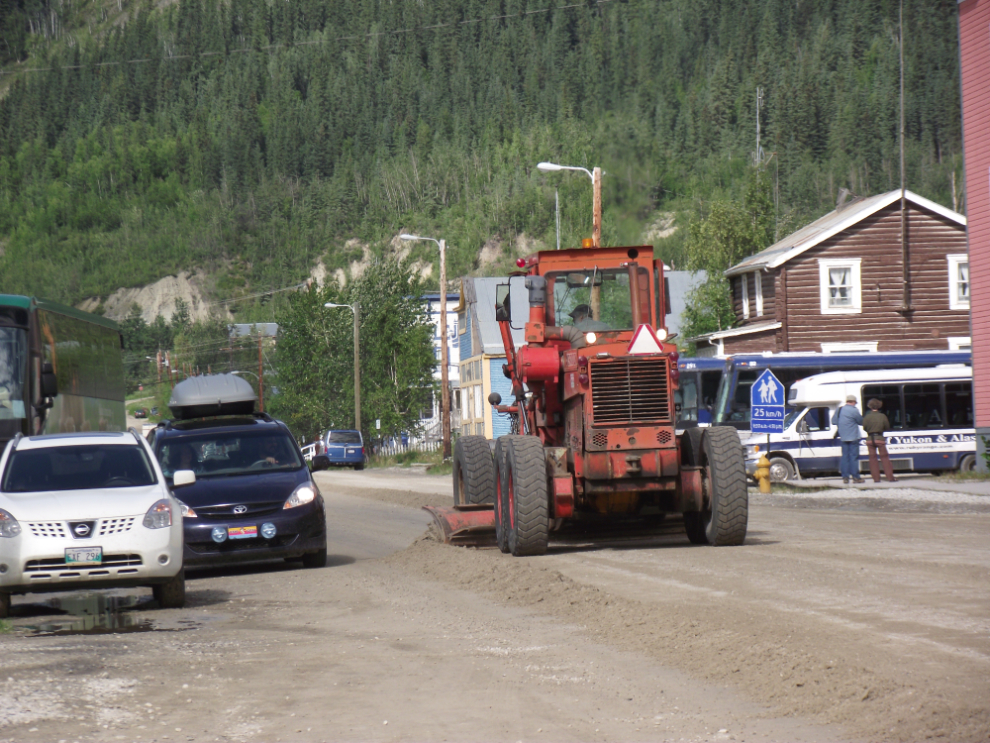
A grader was hard at work on 4th Avenue all afternoon, getting the road groomed for visitors to this coming weekend’s music festival after the recent heavy rains.
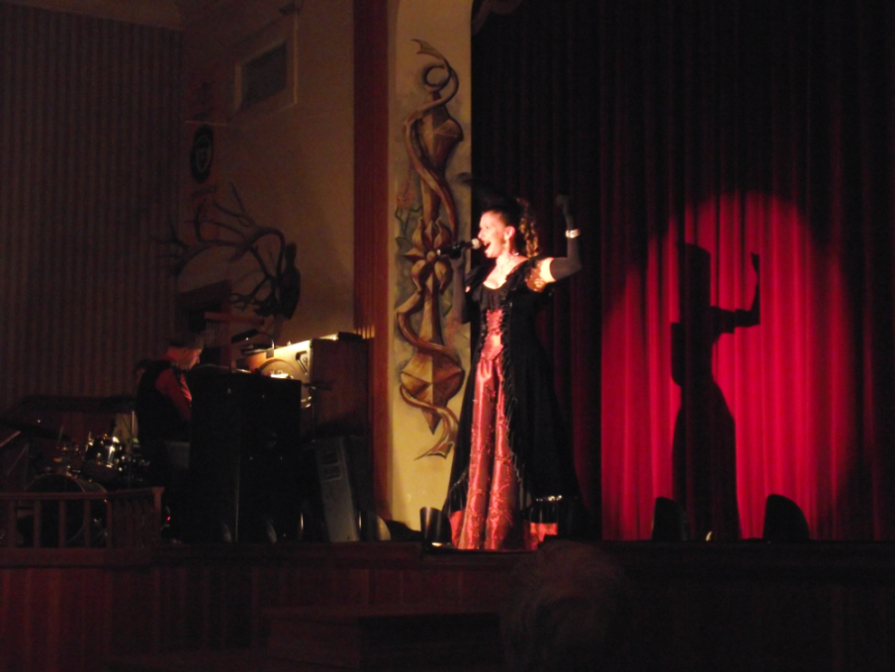
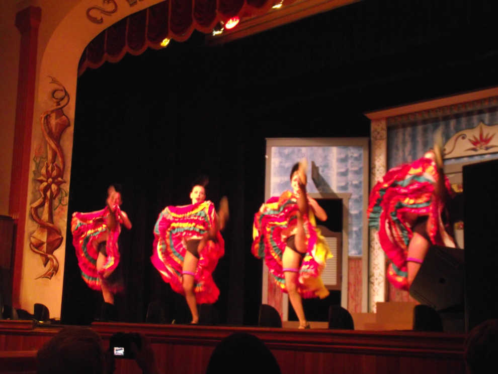
We had a final “official” stop in the evening, at Diamond Tooth Gertie’s gambling hall and theatre.
As is often the case with my Maher Tour groups, we had one of our men up on the stage! Margaret caught this photo of Ray having a bit of a problem with the dance steps….
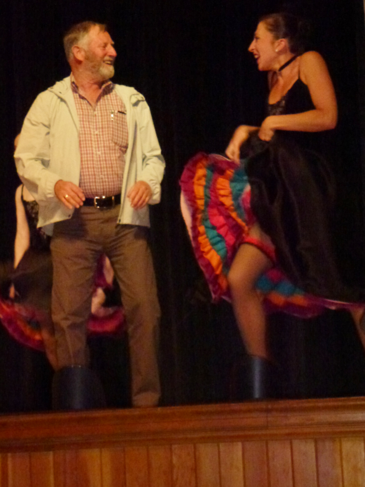
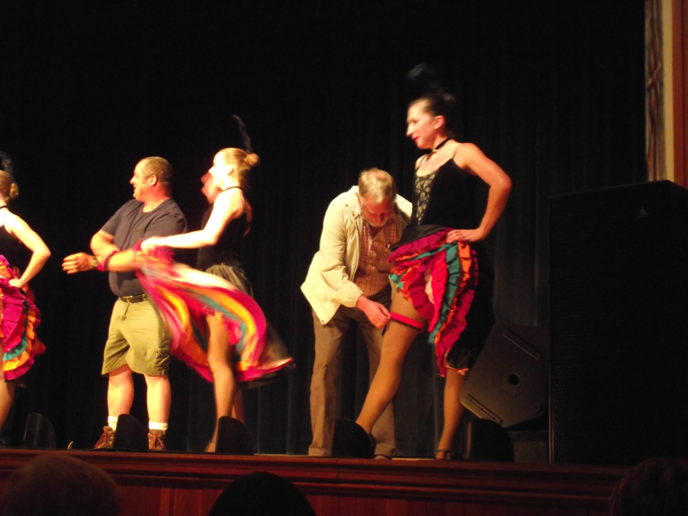
… but he can take off a lady’s garter with the best of them! 🙂
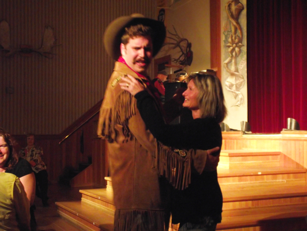
“Arizona Charlie Meadows” is a new addition to the show, and found a lovely Kiwi dance partner, Melody, at our table.
A final shot taken from my hotel room at 11:15 pm, of the sun shining on the hills.
