Exploring around Spences Bridge and Gold Pan Provincial Park, BC
Day 5 of the trip, April 30th, was a busy day. Once I hooked the Tracker back up to the motorhome after exploring Ashcroft, we continued south to Spences Bridge and on to the campground at Gold Pan Provincial Park on the Thompson River. Although I kept going in the same direction I had been before reaching Cache Creek, the highway was now #1 instead of #97.
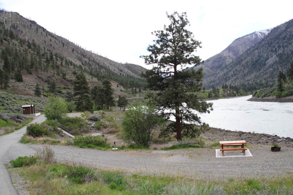
The campground only has 14 sites, tucked tightly between the Thompson River and Highway 97, with the Canadian National Railway running down one side of the canyon and the Canadian Pacific on the other. A sign at the top of the access road to the campground says: “Limited Turning Ahead. Check Before Proceeding.”
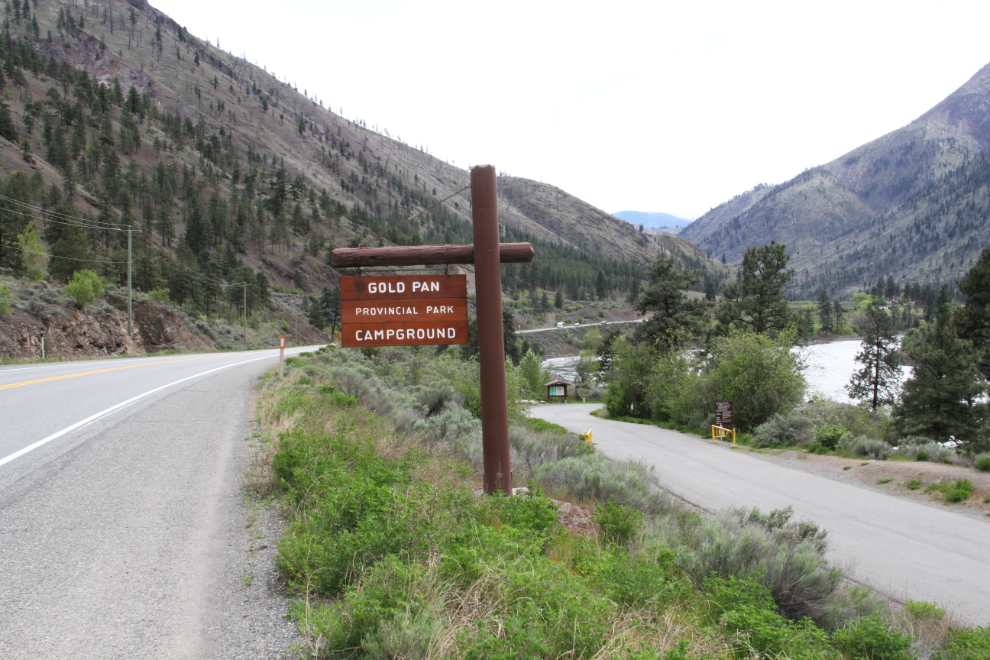
With the Tracker in tow, my rig is too long (51 feet) to be able to make the turn at either end of the campground – the one at the north end is seen in the next photo. Last year I disconnected it down in the park, but this year I unhooked in the day-use parking lot beside the highway.
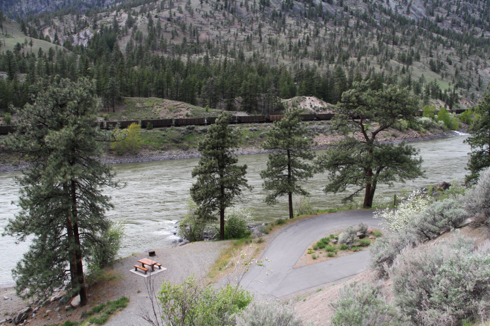
I parked in site #2, registered and paid the $18 nightly fee, and took Bella and Tucker for a walk.
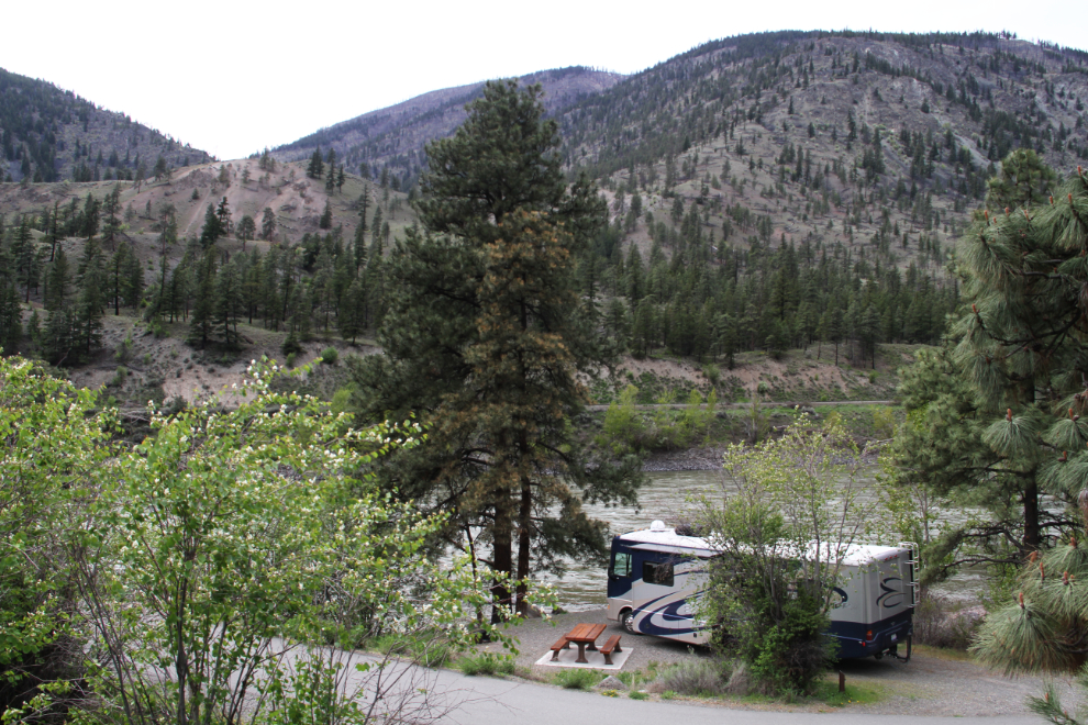
There isn’t a bad site in the campground. They’re all spacious and level, with varying degrees of shade, river access, and river view.
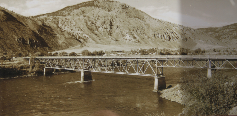
It was only 4:00 pm when our walk ended, so I left the dogs to have a nap while I took the Tracker back up the highway to check out a few sites. Most people seem to know Spences Bridge for spectacular Murray Creek Falls at the south edge of town. When I was in Spences Bridge last year, I hiked up alongside the falls, and a few photos are in that blog post. The first stop this time was at a viewing area at the site of a one-lane steel bridge that served the community from 1931 until January 2014.
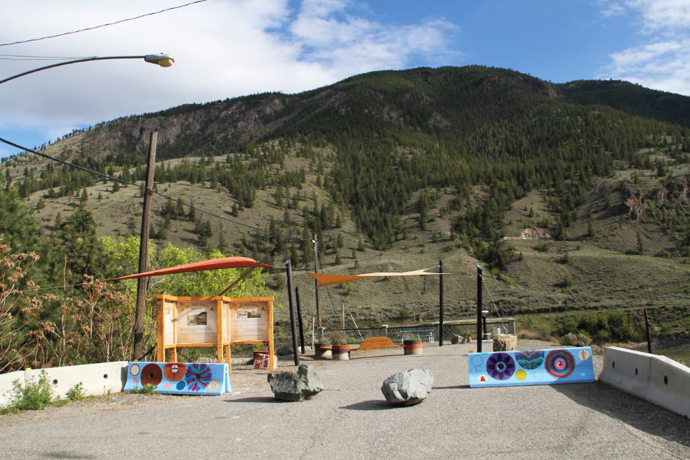
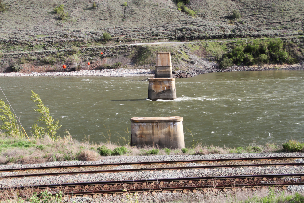
The bridge was dismantled in the spring of 2015, and only the concrete piers remain now. Around the community, though, many more pieces of the bridge remain, most notably the railings.
The bridge a few years before it was dismantled.
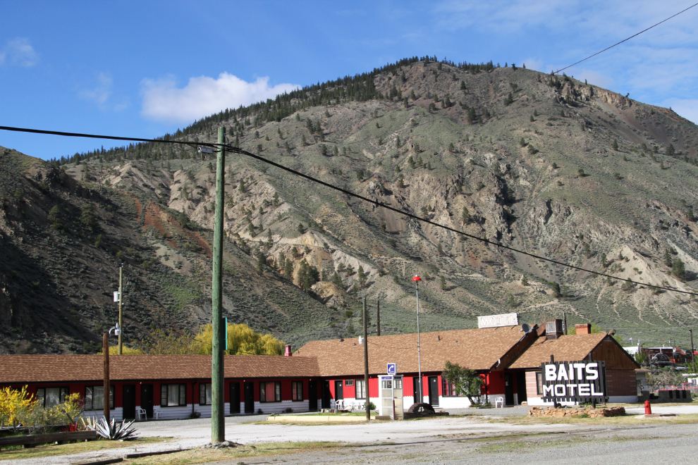
Spences Bridge was once a fairly busy centre, but few businesses have survived. The Baits Motel was one of the most recent to close.
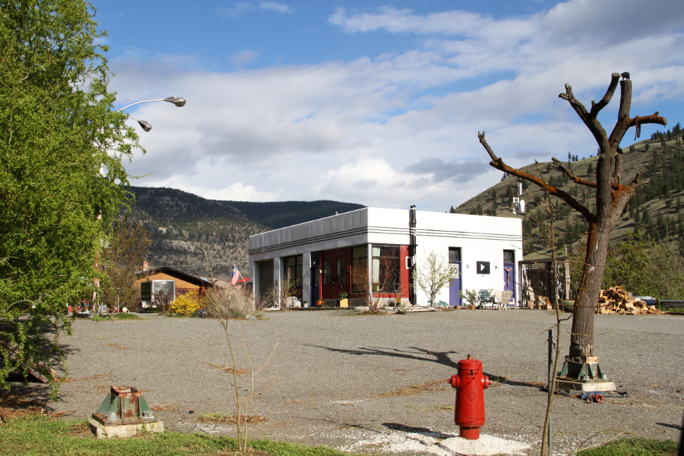
The old Texaco gas station is now a home – the Shell station burned a few years ago.
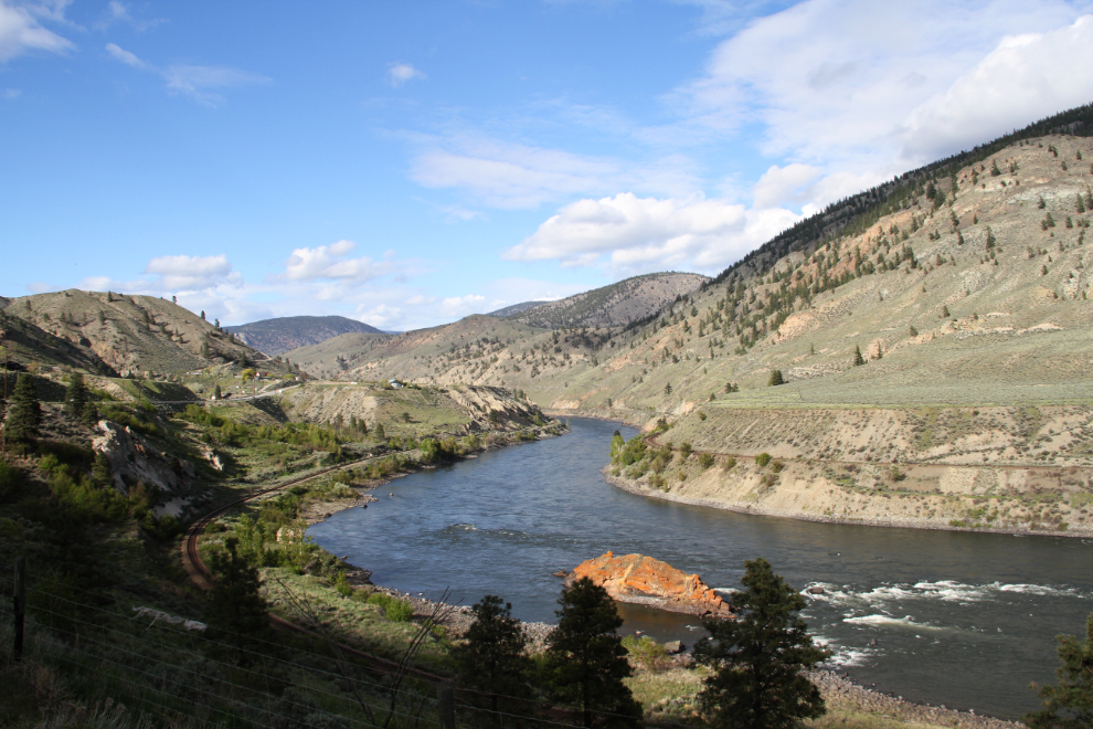
The Thompson River really is beautiful. Well, it is to me 🙂
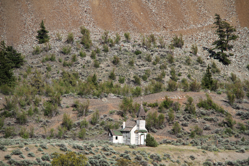
Over the past few decades, I’ve shot many photos of this long-abandoned church on the opposite side of the Thompson River from the highway.
I remember this water system being built 30-odd years ago.
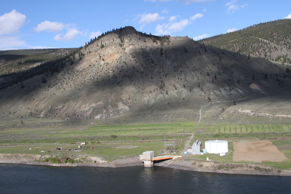
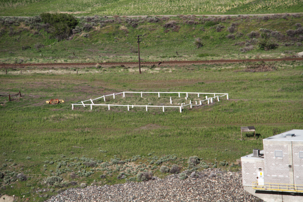
Close to the water system is a single long-abandoned cabin, and this little cemetery, probably a family plot.
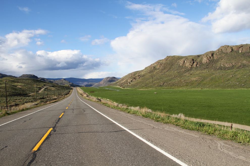
Continuing north on Highway 1.
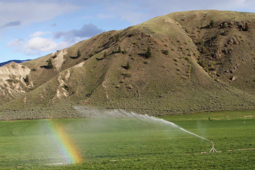
It takes a whole lot of water to get anything commercial to grow in this very dry region. It’s great to be able to brighten the world up not only by making it green, but by creating a rainbow as well 🙂
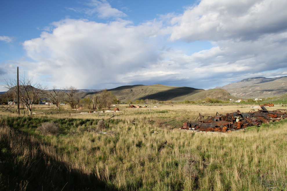
This was a radio range station originally, then was a Forestry station for a few years before burning in recent years. As a kid, I remember it as a really well-kept place with white, red-roofed homes. See more information about the site at artist Michael Kluckner’s Vanishing B.C.page.
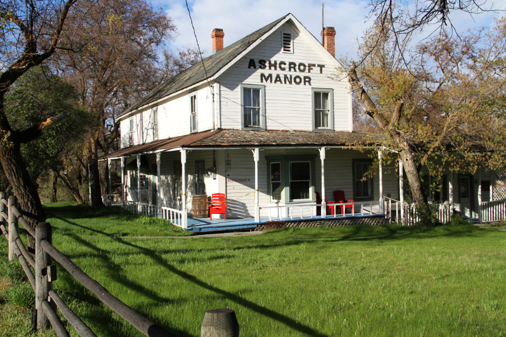
The historic Ashcroft Manor was as far north as I went on this wander. A Heritage BC Stop of Interest sign says aout it: “In 1862 C.F. and H.P. Cornwall settled here and developed Ashcroft Manor. The ranch, with its grist and saw mills, supplied Cariboo miners. The manor house was destroyed by fire in 1943, but the road house survives. Clement Cornwall became one of British Columbia’s first Senators after confederation with Canada in 1871, and Lieutenant-Governor of British Columbia in 1881.”
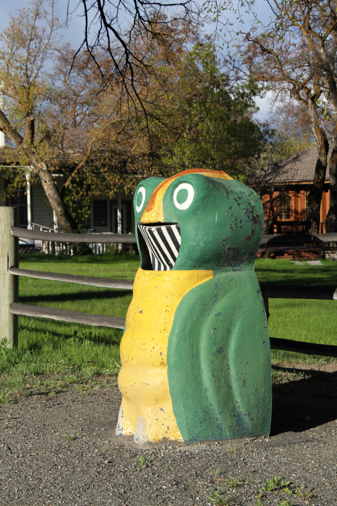
BC is reviving the old “Garbage Gobblers”, but they’re just standard garbage bins with a cool paint job. This original at the Ashcroft Manor is one of the last of the originals that still stands beside a highway.
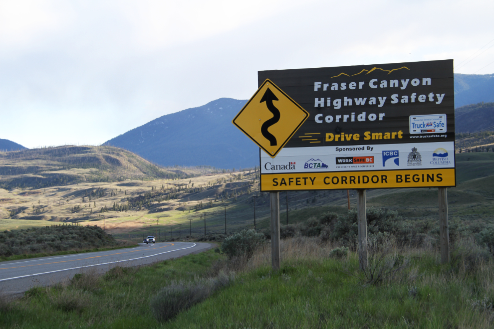
The 192-km Fraser Canyon Highway Safety Corridor was launched in 2006. It’s basically a plan to reduce the number of traffic accidents, “including improved engineering, increased and strategic traffic enforcement, and integrated education of road users.”
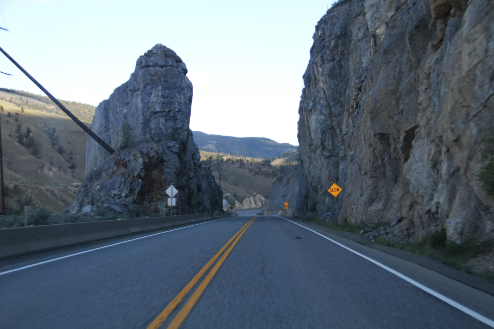
This is one of the very few rock cuts of this type that remains along the Thompson/Fraser Canyons section of Highway 1.
