Exploring a historic mining trail at Tutshi Lake, BC
Last May, my friend Kevin and I had an initial look at a mining trail leading up a spectacular ridge at the south end of Tutshi Lake. We didn’t get very far before deep snow halted further exploring, and although we planned to return in late summer, that didn’t happen until ten days ago, on August 2nd.
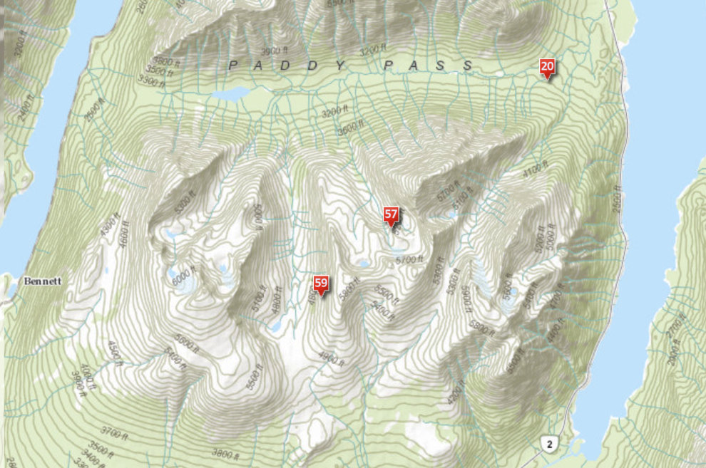
Living where few geographical features have names can be frustrating, and this trail is a good example. Although even from the highway it has two impressive and distinctive peaks, there appears to be nothing in this entire mountain block with a name. I call it “Tutshi Ridge” because I have to call it something. BC Mines says Mt. Foster is at the west side, but nobody else including the BC Gazetteer agrees. The Yukon Avalanche folks say those two markers on the map below are for Tom Thumb Mountain, but Google Earth says that mountain is on the west side of Lake Bennett, and the BC Gazetteer agrees, though with different coordinates. I can’t find my 1:50,000 map to see what it says, but the digital versions of it online say that nothing is named. Some BC mining reports call an unspecified mountain on the north side of Paddy Pass North Mountain (capitalized that way), an unspecified mountain on the south side of Paddy Pass South Mountain, and the ridge we climbed Middle Ridge 🙂
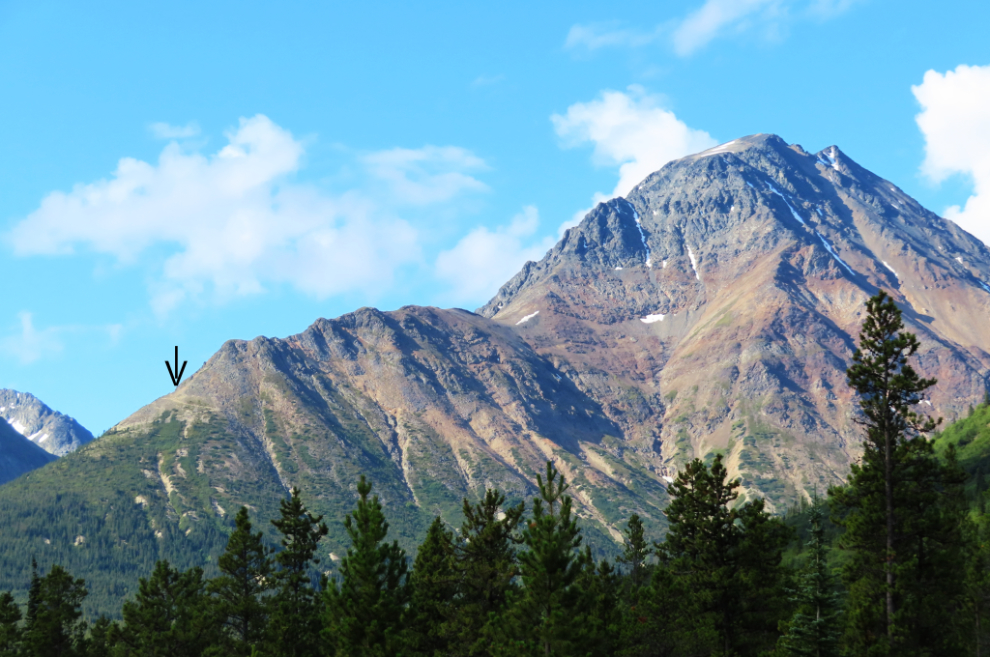
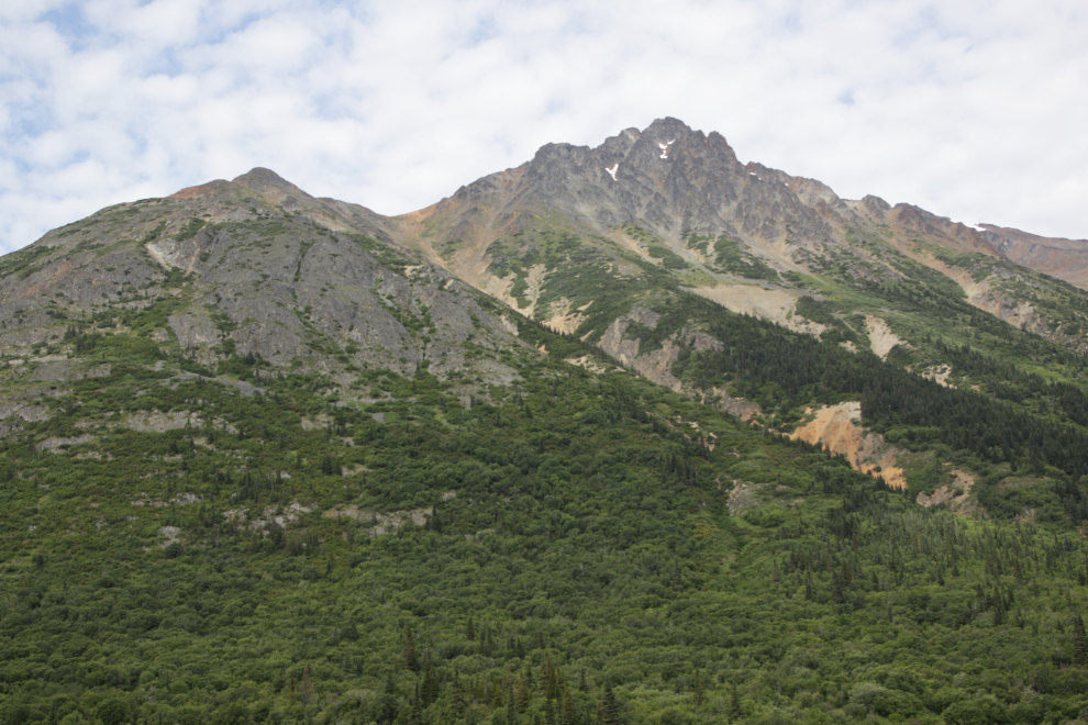
Here is “South Mountain,” with the upper end of the trail we were going to head up again marked with an arrow. Although last year I said that I had found an old aerial photo that showed buildings there, this year’s detailed research shows no buildings.
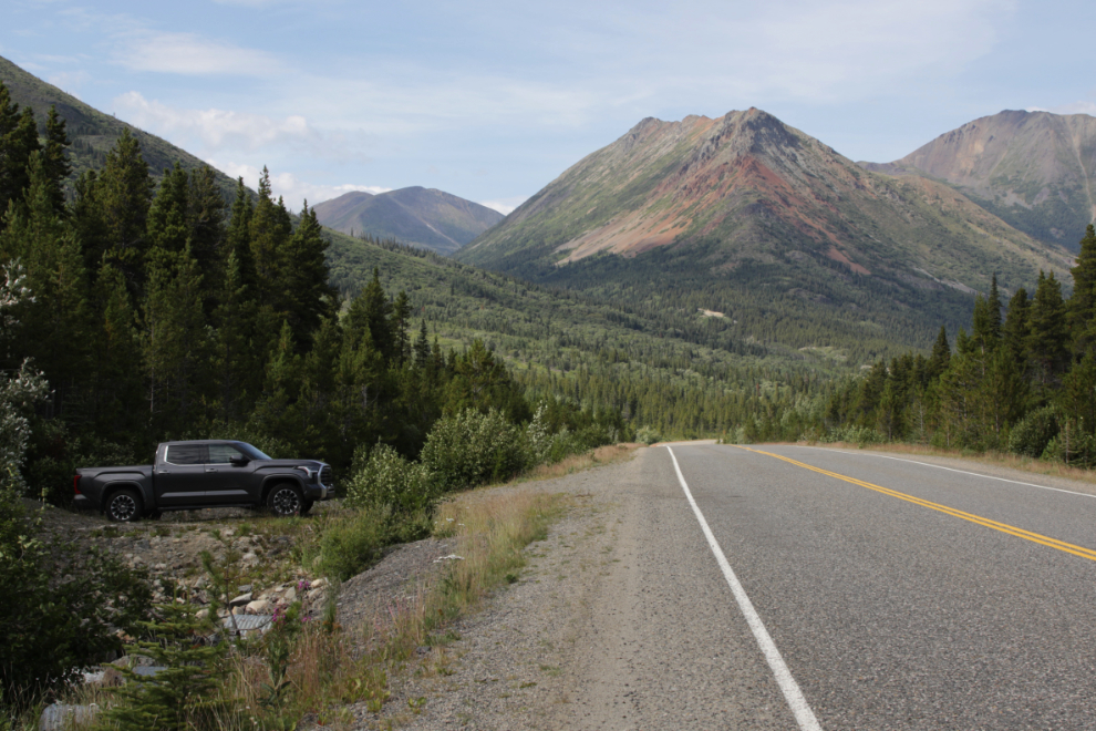
Access to the trail is at a creek 600 meters north of the Tutshi Lake boat launch on the South Klondike Highway. Parking is available on the north side of the creek.
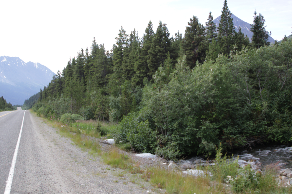
The start of the trail is quite well hidden in the forest on the south side of the creek.
This ATV trail as we see it now dates to 2006, when Signet Minerals built it to access their Tannis / Middle Ridge property. However, there may have been a trail before, as this ridge is vaguely reported to have been explored in the Klondike Gold Rush days, and in 1988 Frame Mining re-discovered three old adits on the ridge.
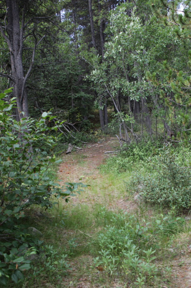
It’s an extremely nice trail to walk on, and trees that have fallen across it indicate that no ATVs have been up here in at least a couple of years.
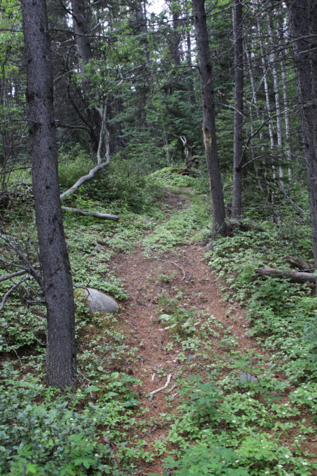
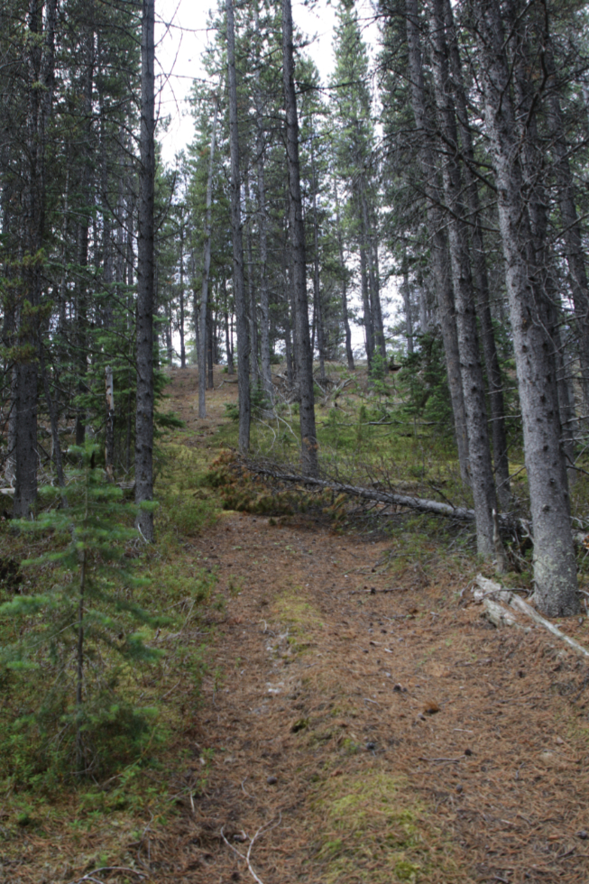
Climbing up a large esker topped with decomposed granite. This is where the snow started to get deep last May.
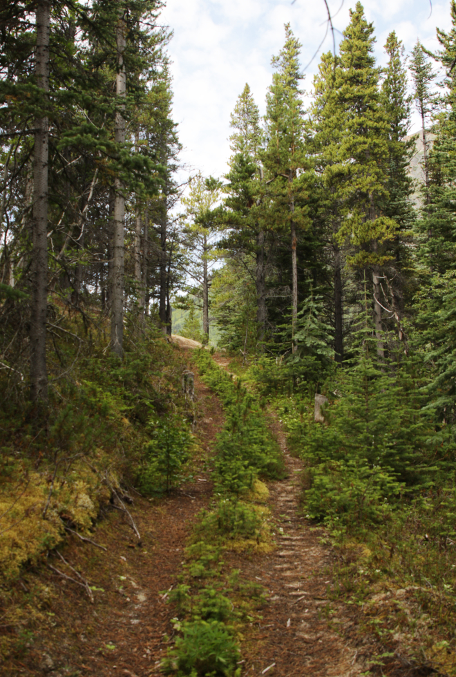
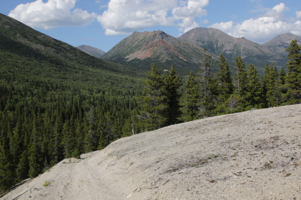
The views from the top of the esker are spectacular. This is North Mountain in some of the BC mining reports.
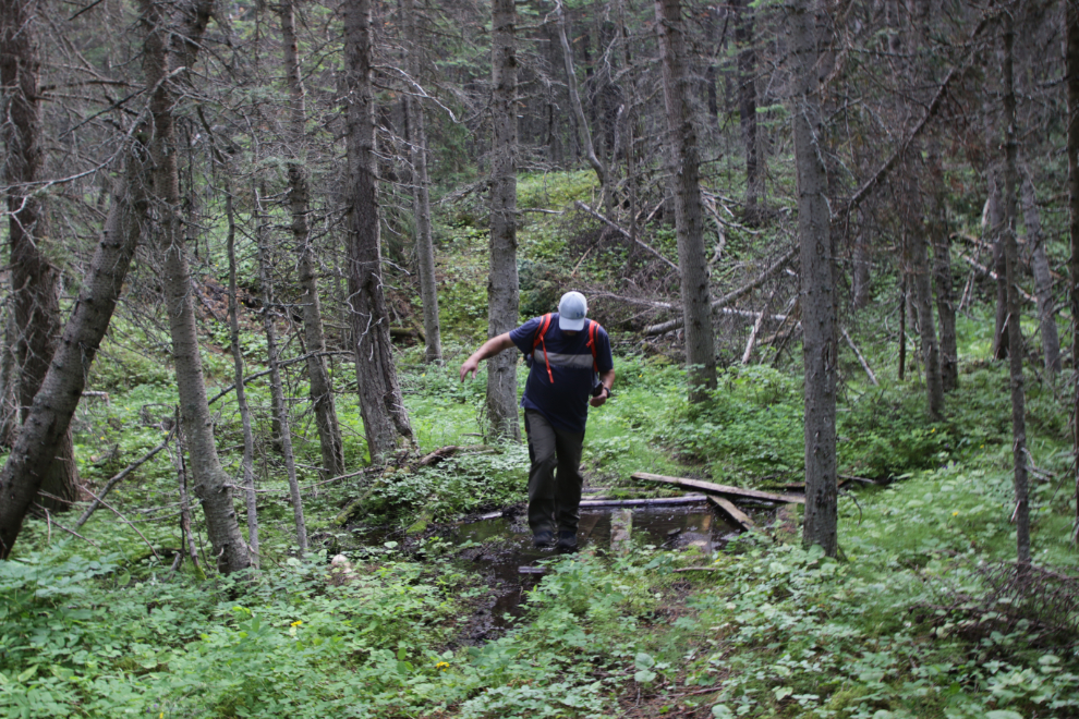
A few planks have been laid across a little creek at some point.
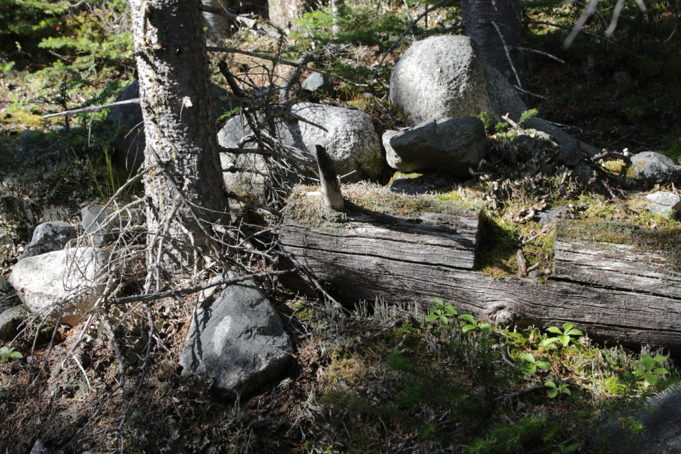
This notched log feels like it goes way back, but I can’t put a date range to that.
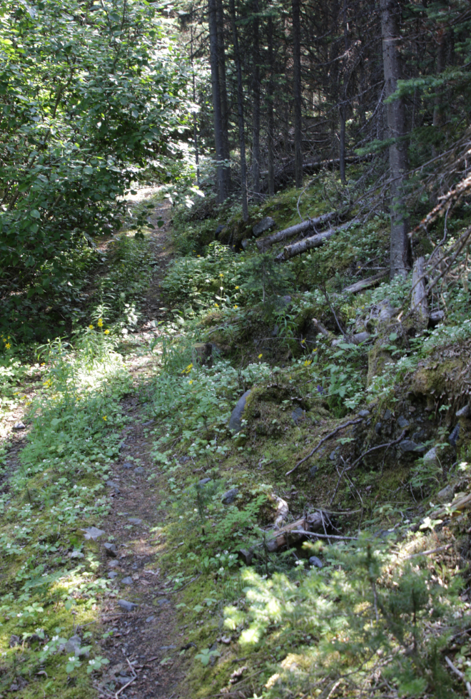
At a couple of places, holes had been dug along the trail, as part of the mining exploration, I expect. The ridge seems to have a layer of glacial till over the rock, so they may have been testing to see how deep that layer is.
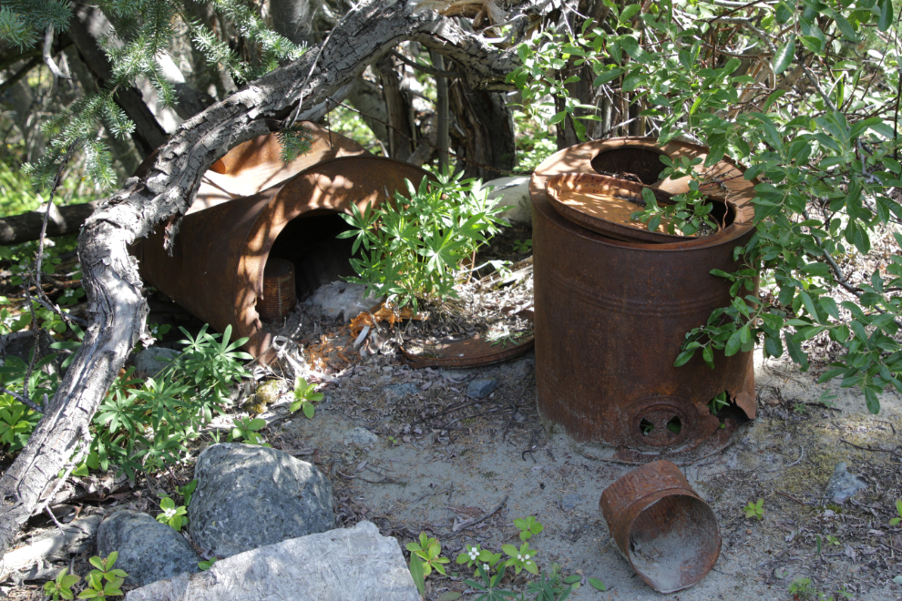
Exactly an hour from the highway we came to a creek that had wiped out the trail at some point in fairly recent years. Some camp artifacts including a couple of barrel stoves were gathered or washed down to this point.
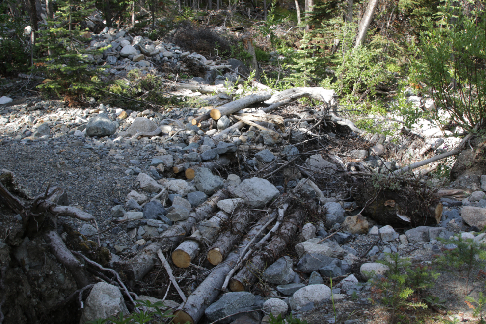
An attempt to get ATVs across the creek has been made in recent years, but although quite a few logs were cut the bridging doesn’t go very far.
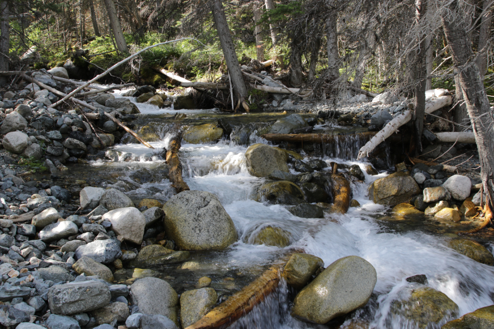
It’s quite a lovely creek, and we walked up along it for a couple of hundred meters, mostly looking for a place for Kevin to cross easily.
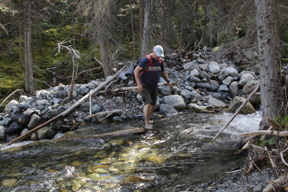
Keen Newport H2 sport sandals are still my footwear for virtually all hikes, but it was an easy crossing barefoot for Kevin.
Half an hour past the creek, now high above it, we got our first good look at the mountain to the south.
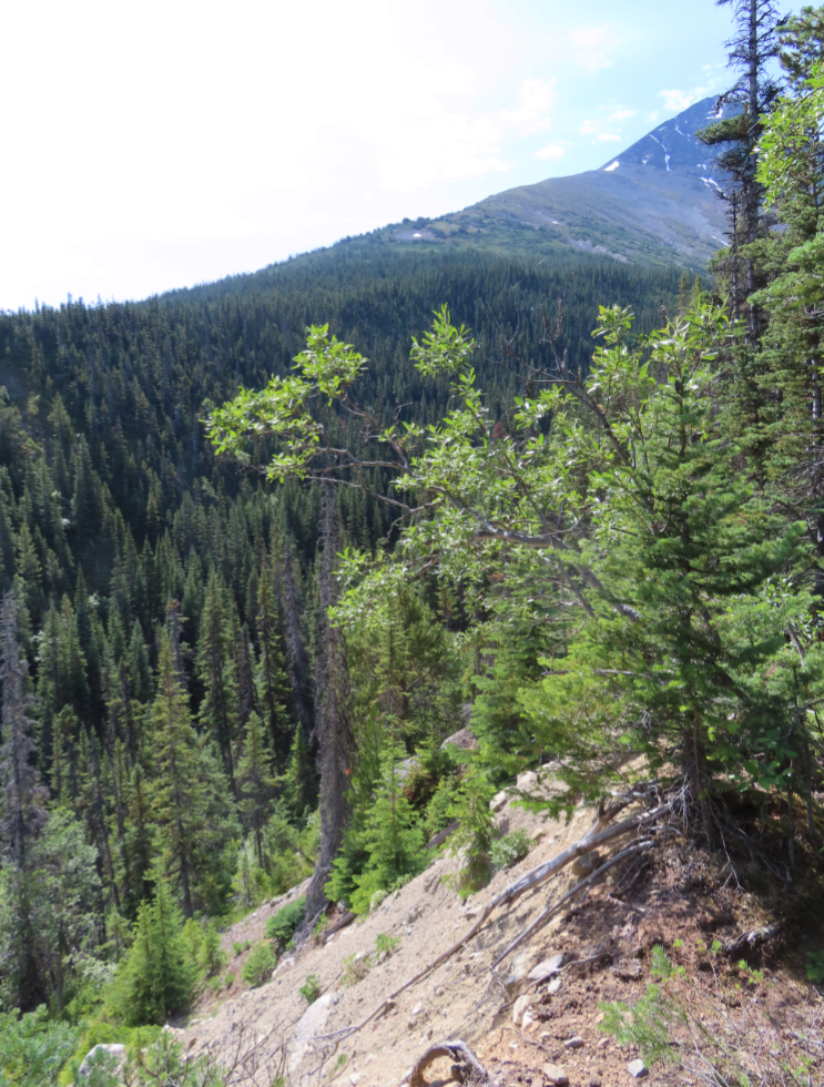
There doesn’t appear to be any trails up that mountain.
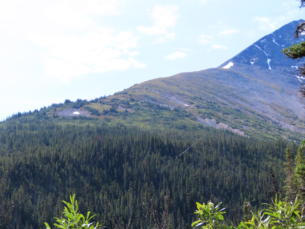
An hour past the creek, we started to get good views to the north (over Paddy Pass) through the trees.
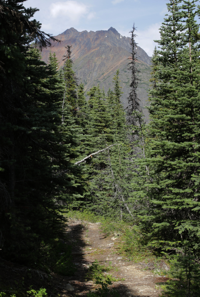
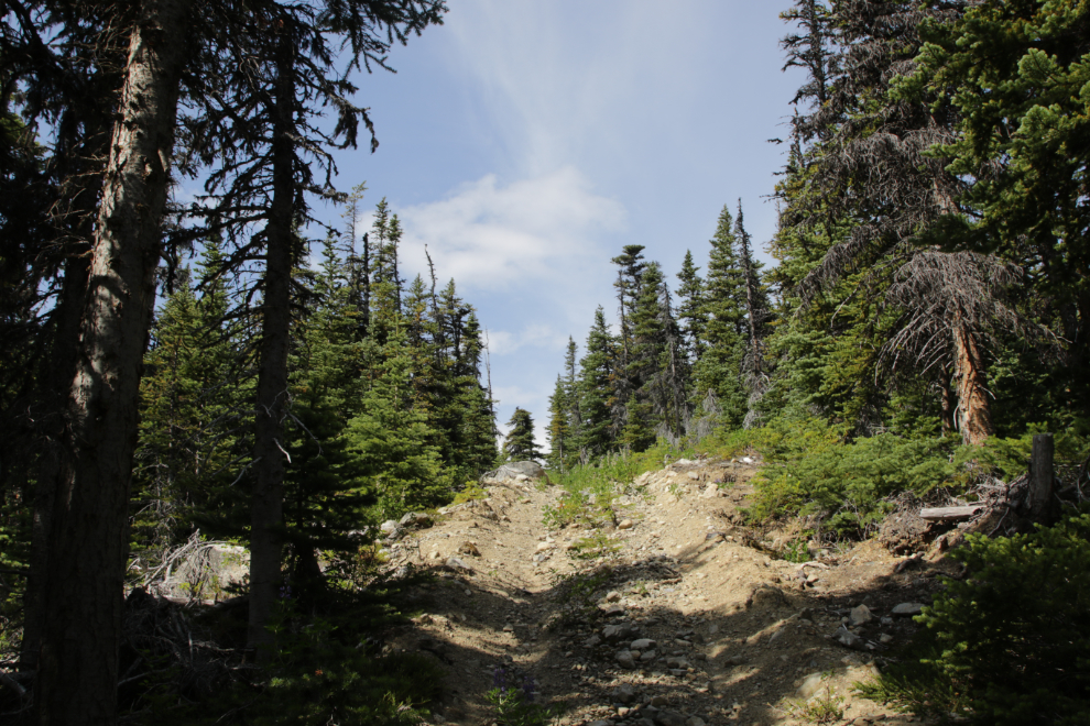
The trail got much rougher as we climbed. The 2006 trail construction was done in 32 days by Bob Stirling of Stewart Basin Exploration with a small Kubota backhoe. That would have been quite a job!
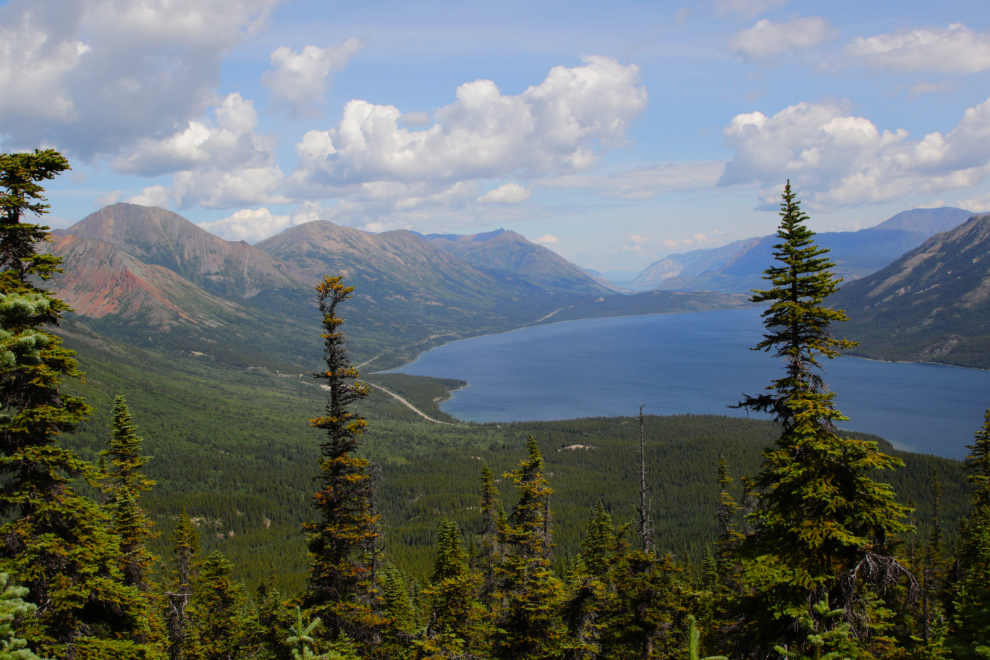
The view north over Tutshi Lake, with the South Klondike Highway running along the western shore.
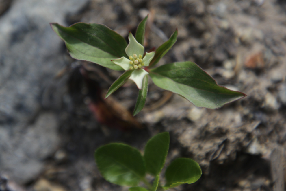
Flowers had been abundant along much of the trail. As we climbed, this bunchberry (Cornus canadensis) was new among the species.
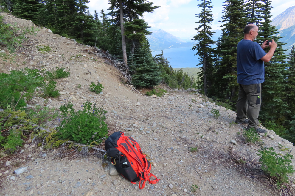
Some of the switchbacks were getting so tight that a wider turning space had to be cut.
Subalpine fir Abies lasiocarpa, the Yukon’s territorial tree, became more and more common. Their upright purple cones are unique.
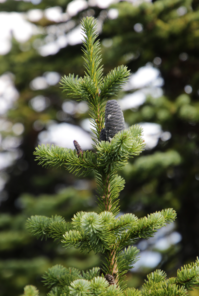
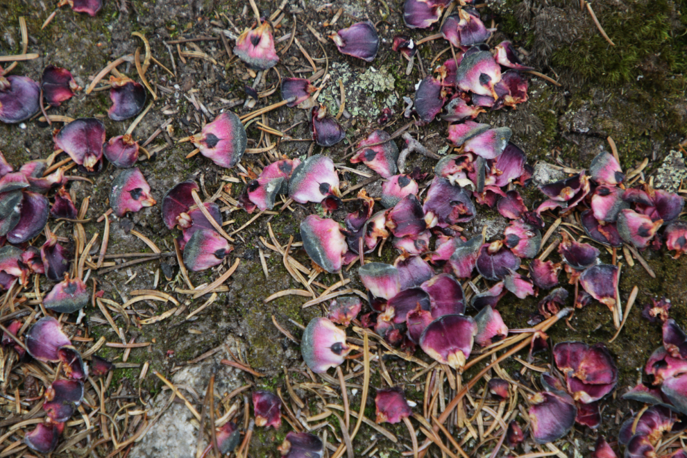
The cones of the Subalpine fir are beautiful when squirrels break them open (I shot this photo in the forest much further down).
This is the sort of trail that excites me.
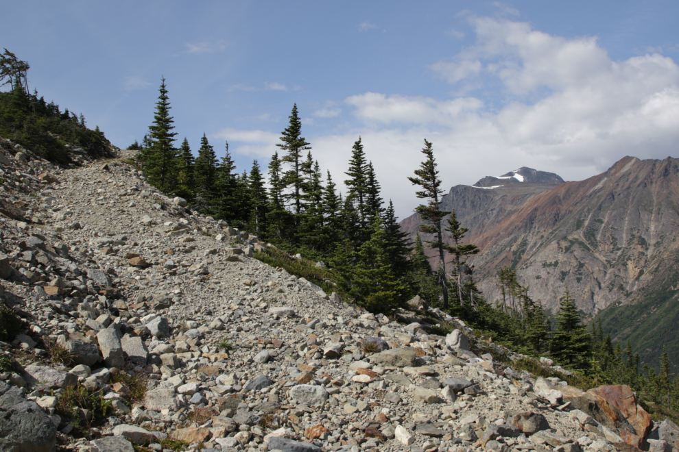
Looking back down the trail.
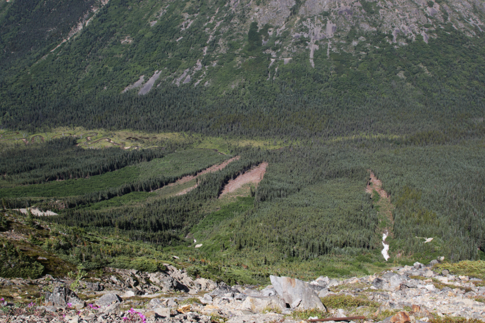
A lot of huge avalanches come off this ridge.
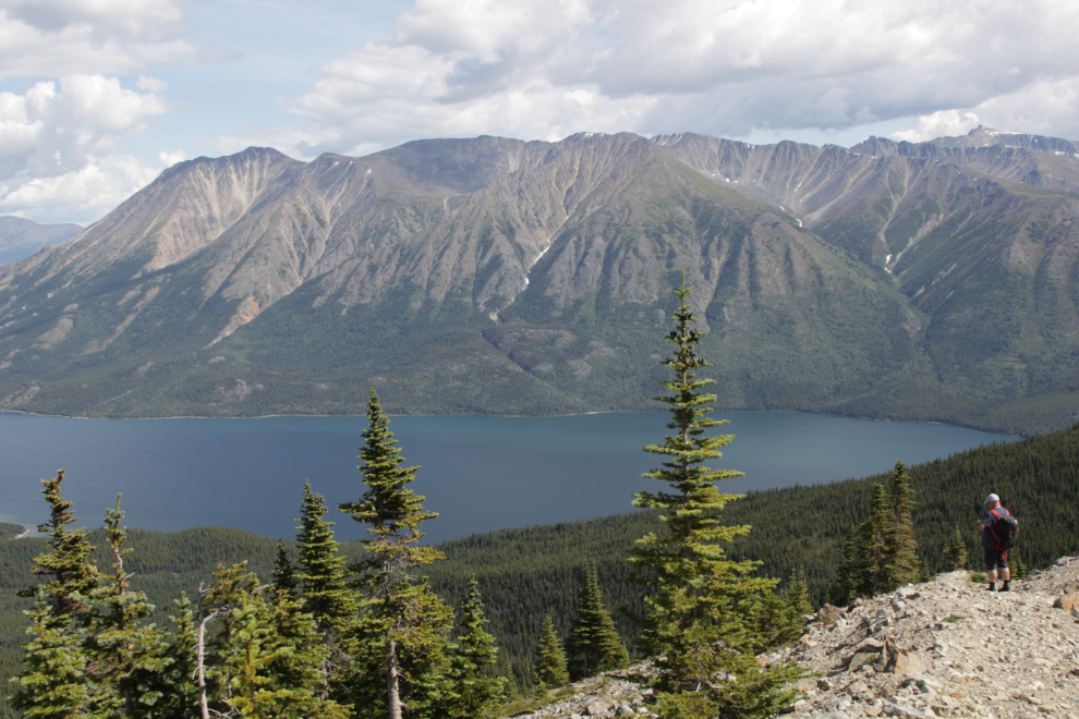
Paddy Pass, with the mountain commonly called Paddy Peak to the left.
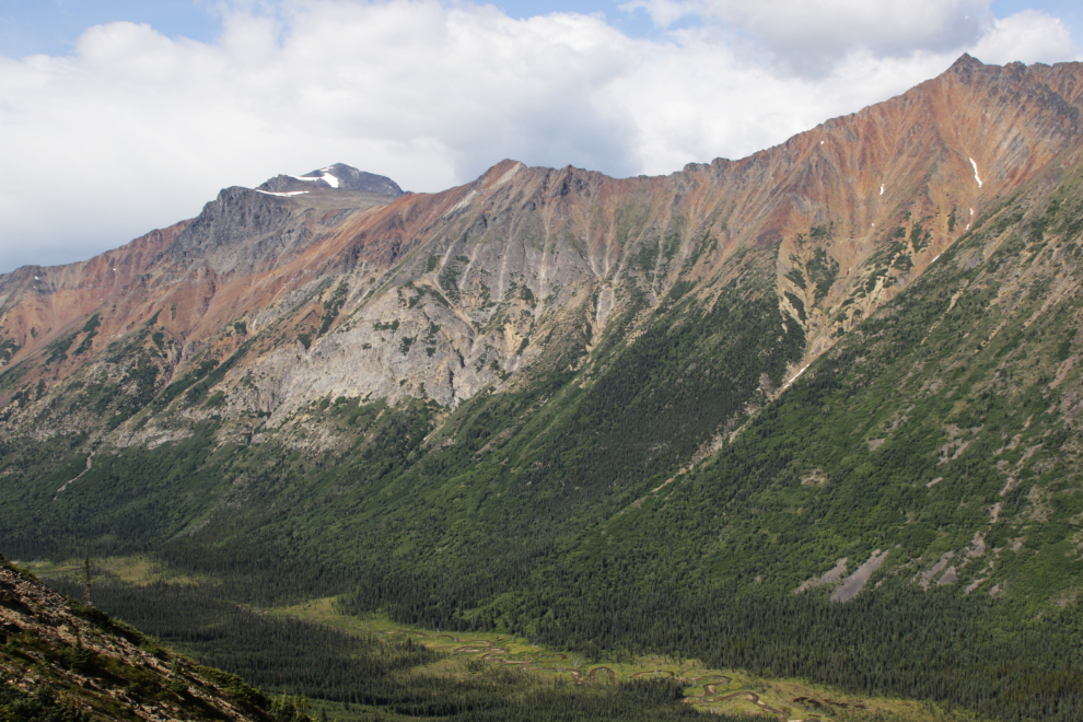
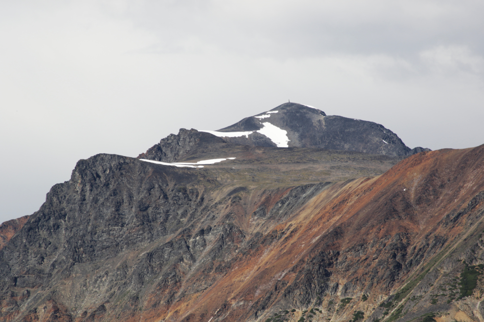
A closer look at Paddy Peak.
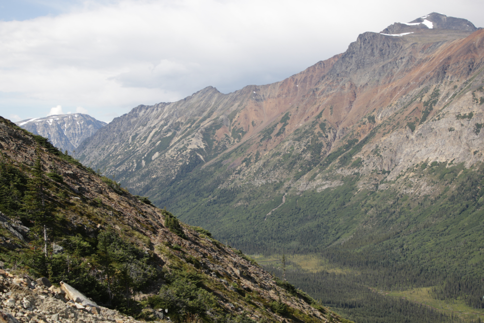
The start of the trail seen to the left of centre is extremely unstable so we didn’t check it out. An aerial photo indicates that it might lead to a drill pad.
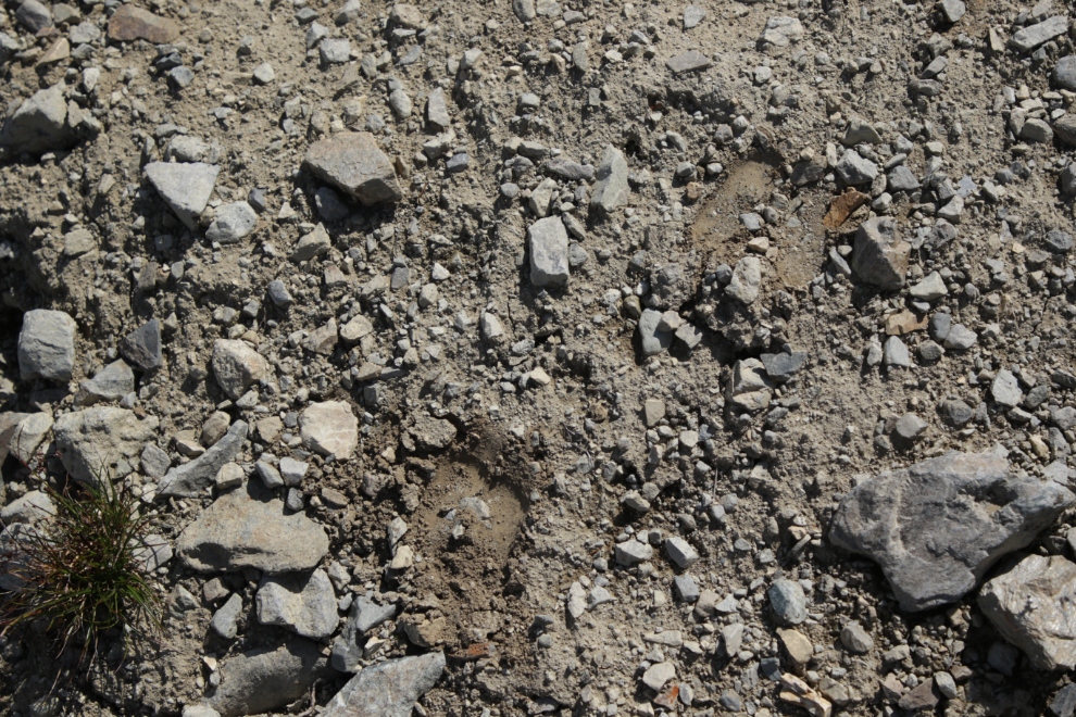
We didn’t see any mountain goats, but these hoofprints were very fresh, perhaps made just minutes before.
And then the ATV trail just ended. There was no turnaround area, no camp site, no foot trails beyond, it just quit. As much as I had enjoyed the trail, that was both unexpected and disappointing.
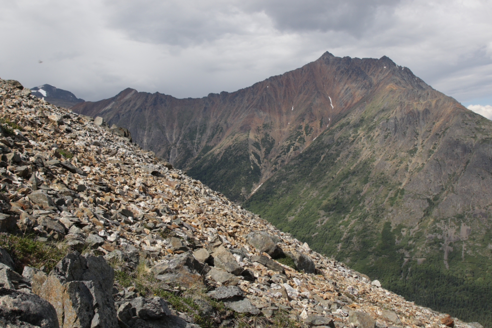
I climbed up further hoping to run into a trail, but all there were several mountain goat sleeping areas.
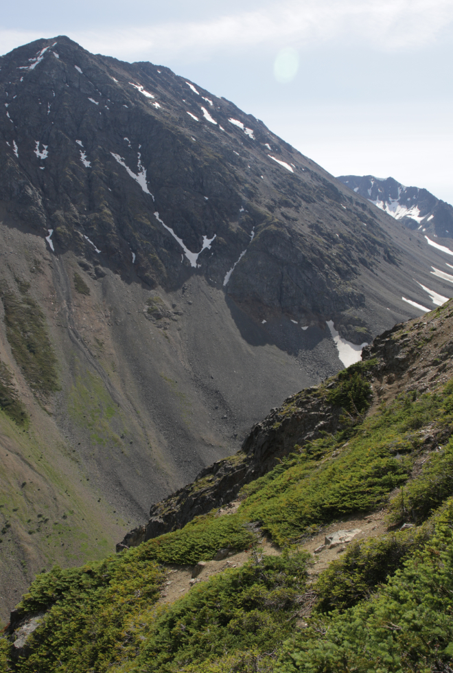
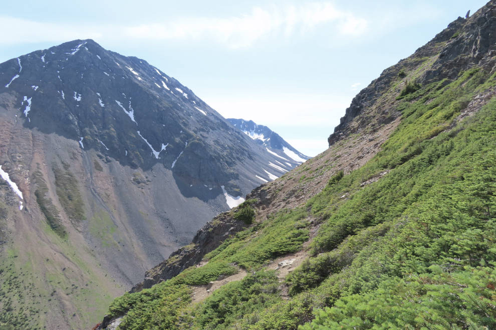
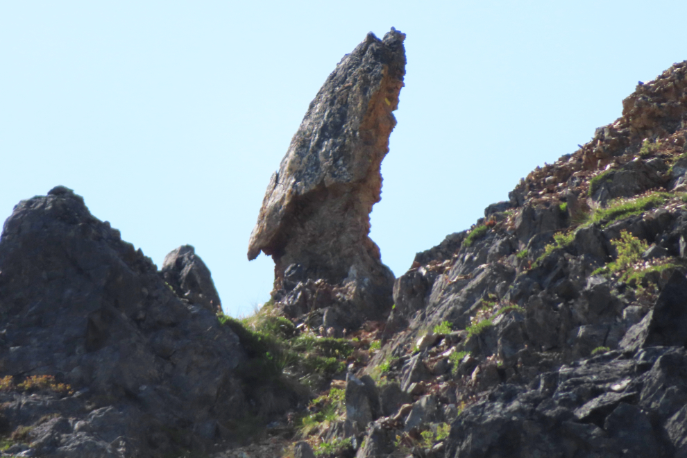
At the upper right of the last photo you can see a vertical rock – here’s a close look at it. I’d guess it to be nearly 20 meters high.
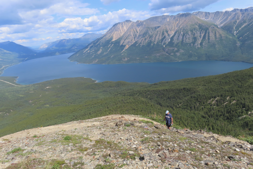
Looking down at Kevin, who was standing at the end of the trail.
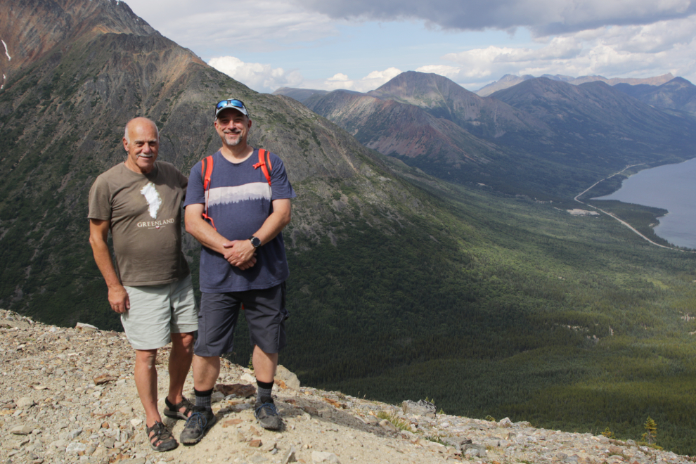
Kevin suggested that I should get a photo of us before heading down – excellent idea 🙂
I also shot a video of the whole panoramic view.
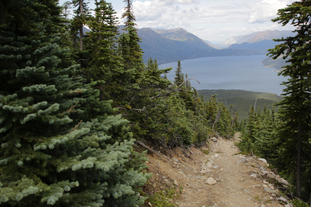
There were some superb views going down.
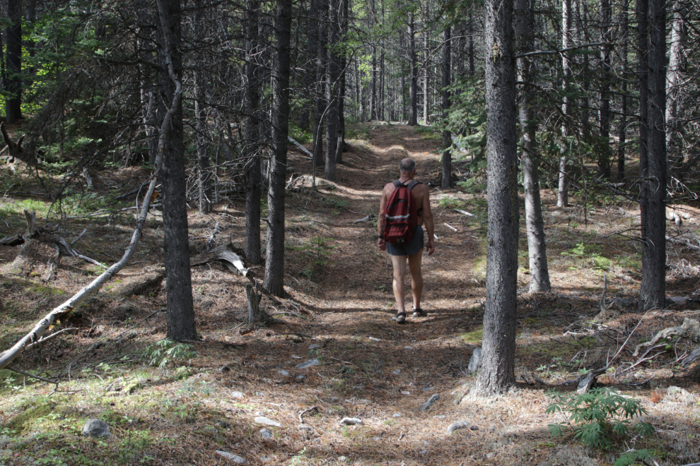
That would be the end of the story, but four days later I returned alone. There was no goal this time other than to enjoy the forest and the flowers.
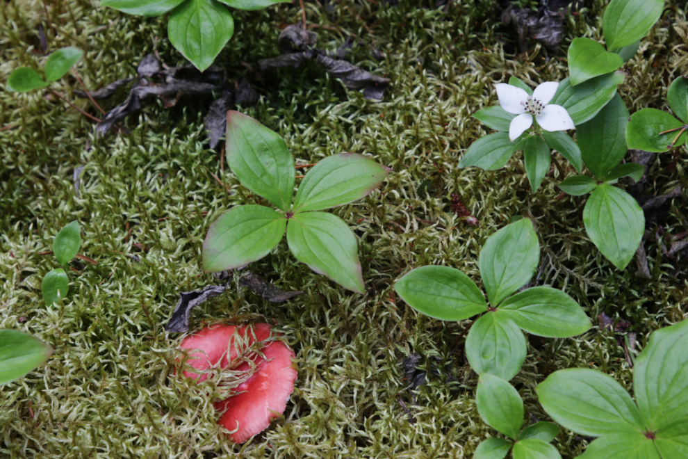
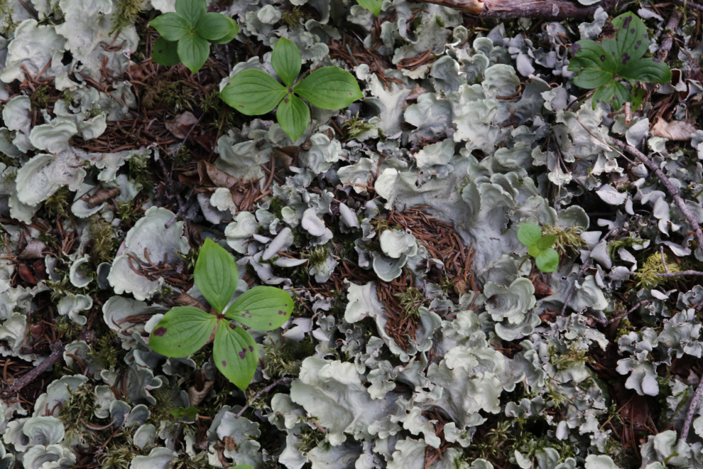
I only went as far as the creek this time, but I spent quite a while there.
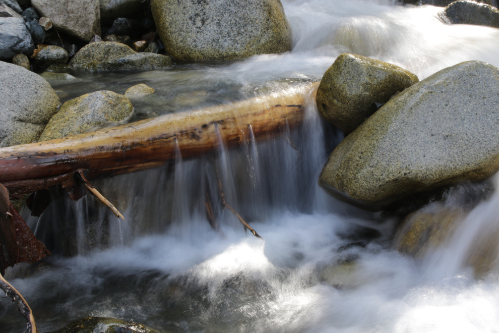
I took a lot of photos of flowers and trees and logs and lichen and the creek 🙂
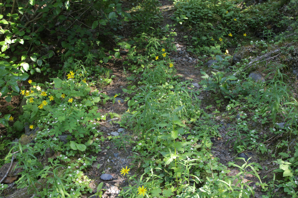
And one final photo of the large esker I’ve mentioned, where I spent quite a while.
I feel that this trail is still unfinished business but on the mountain I couldn’t find a “next step” to continue. Perhaps if I compile a summary of the mining reports I’ve found I can get an idea of what that step will be.
Edit: I compiled that history – see “Mining on Middle Ridge, Tutshi Lake“, but it hasn’t led me to a next step.

About The Author

Murray, you and a dictionary search taught me a word today: ESKER. With all the glaciers around me in South Central Alaska, I cannot recall seeing an esker in person. Now I will be on the look out. Ryan T
If you ever get up to the Denali Highway, Ryan, there are some superb ones that the highway is built on. Closer to home, Matanuska Lakes State Recreation Area at Palmer has some good ones. Have fun! 🙂
I really enjoyed hiking that trail with you Murray, certainly one of my favourite hikes ever. Thanks for writing up the blog recap, it’s good to re-live it.
That really was a superb day, Kevin – I’m so glad we re-did it.
Great report and great scenery! How do you keep rocks an other debris to get into your Keen Newport H2 sport sandals?
Thanks, Joel 🙂
Over the years I’ve been wearing the Keens, I’ve not found that to be a big problem. I think I had to take them off to empty gravel out once on this hike.