Exploring a bit of Stewart: history, cemeteries, and character
On Days 59 and 60 of the trip, June 23rd and 24th, I did a bit of exploring around Stewart, though rain and low clouds limited my outings in town. A drive up the Granduc Road to the Salmon Glacier will be the subject of the next post.
It was after 3:00 pm when I got settled at the Bear River RV Park. I started at the Visitor Information Centre, mostly to get a copy of the Granduc Road guide, then continued on to the Canada-US border. The Stewart harbour is always interesting.
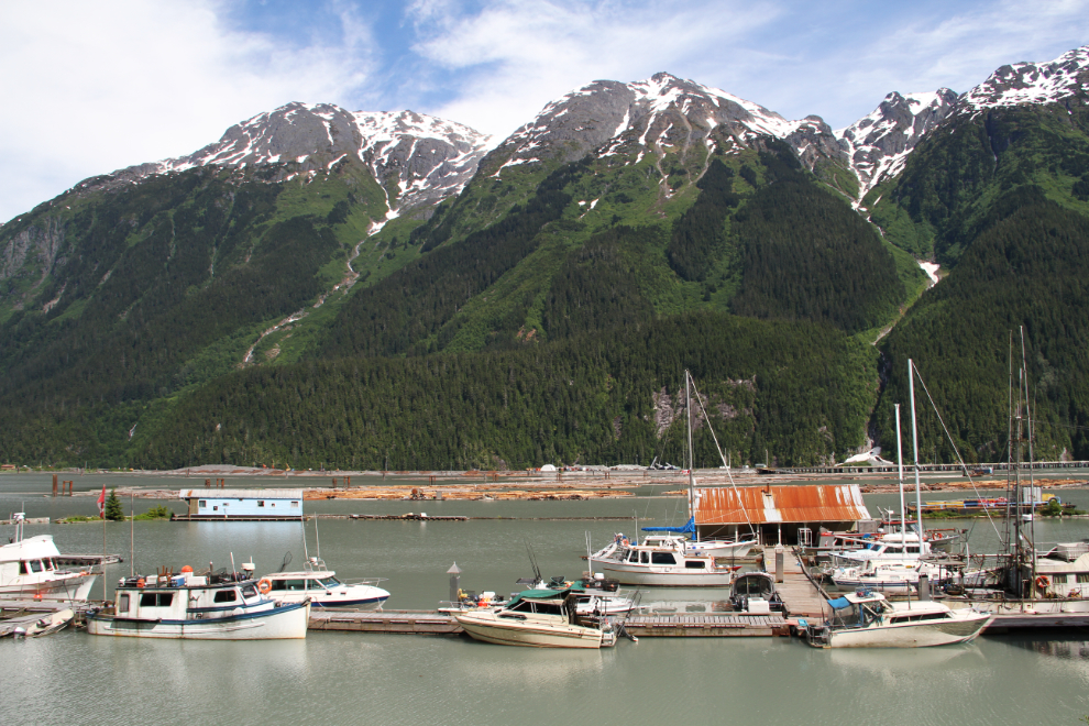
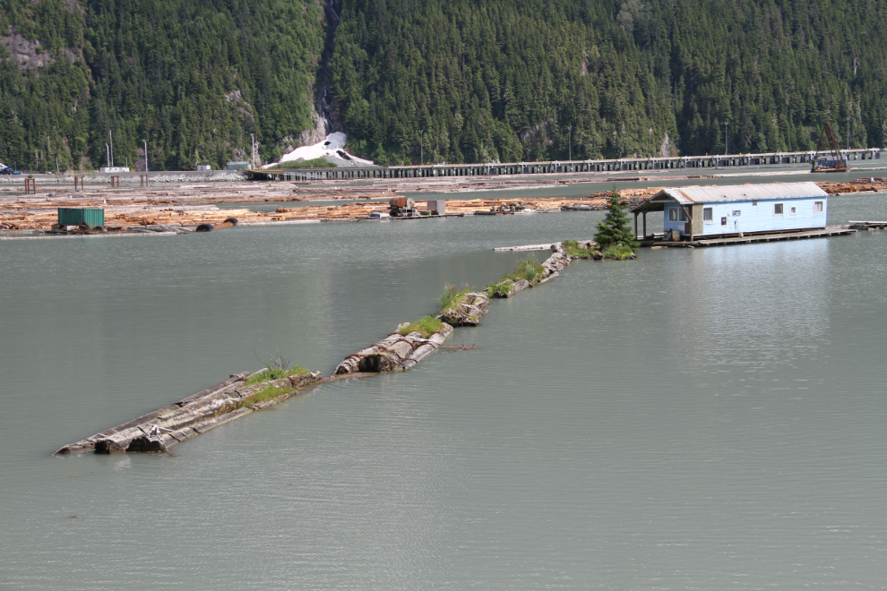
I don’t think that this float home is lived in anymore. It’s been there so long that a good-sized tree is now growing from the logs that I believe used to connect it to the shore.
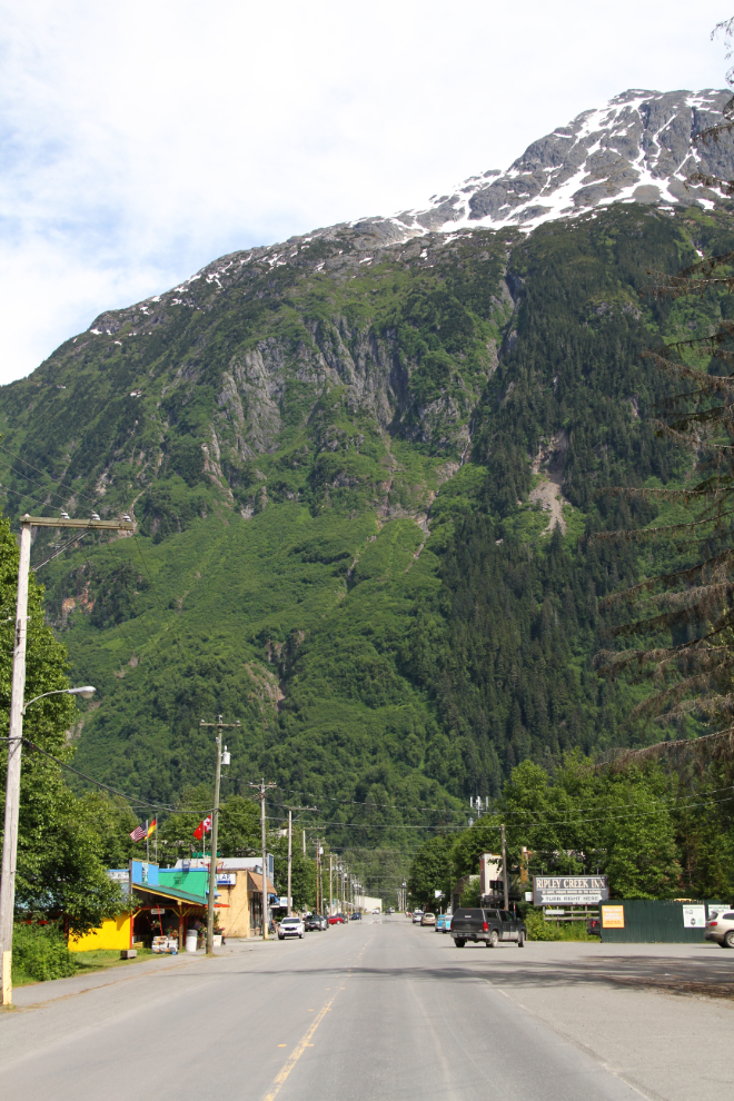
The view to the east in downtown Stewart.
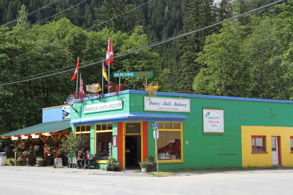
The Harbour Lights Grocery store is a colourful little business, with old grocery carts mounted along the roofline.
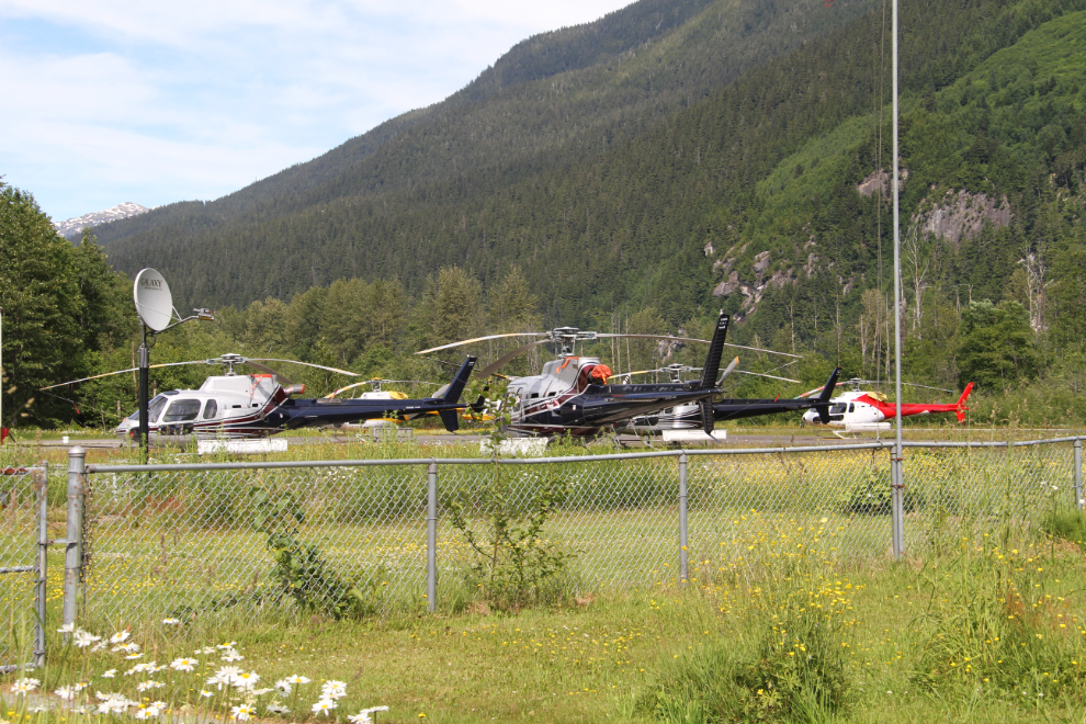
The airport was my next stop. There’s quite a fleet of helicopters working out of Stewart now.
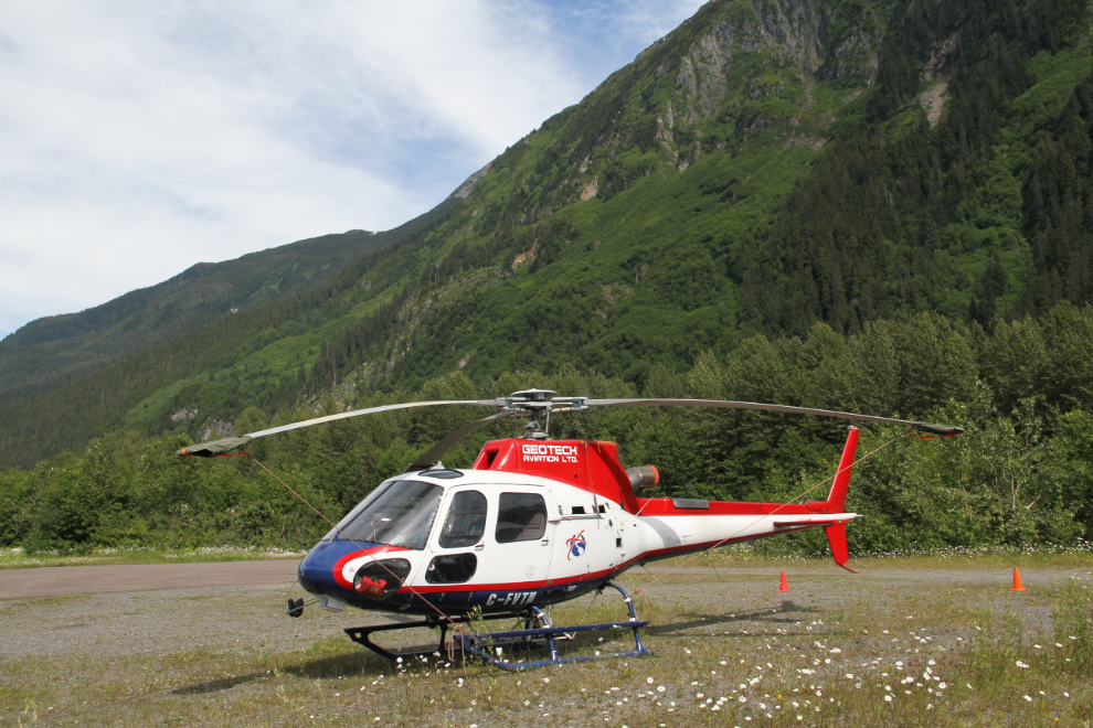
The only chopper that was in a good position to photograph was Geotech Aviation’s 2010 Aérospatiale AS-350B-3 Ecureuil, C-FVTM.
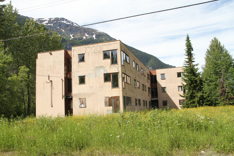
I always take a wander through the long-abandoned section of what used to be called the Granduc Subdivision. When I worked for Granduc Copper here in 1975, the company tried to get me to move into this apartment building, but I refused to leave the hotel until they gave me the house that had been promised.
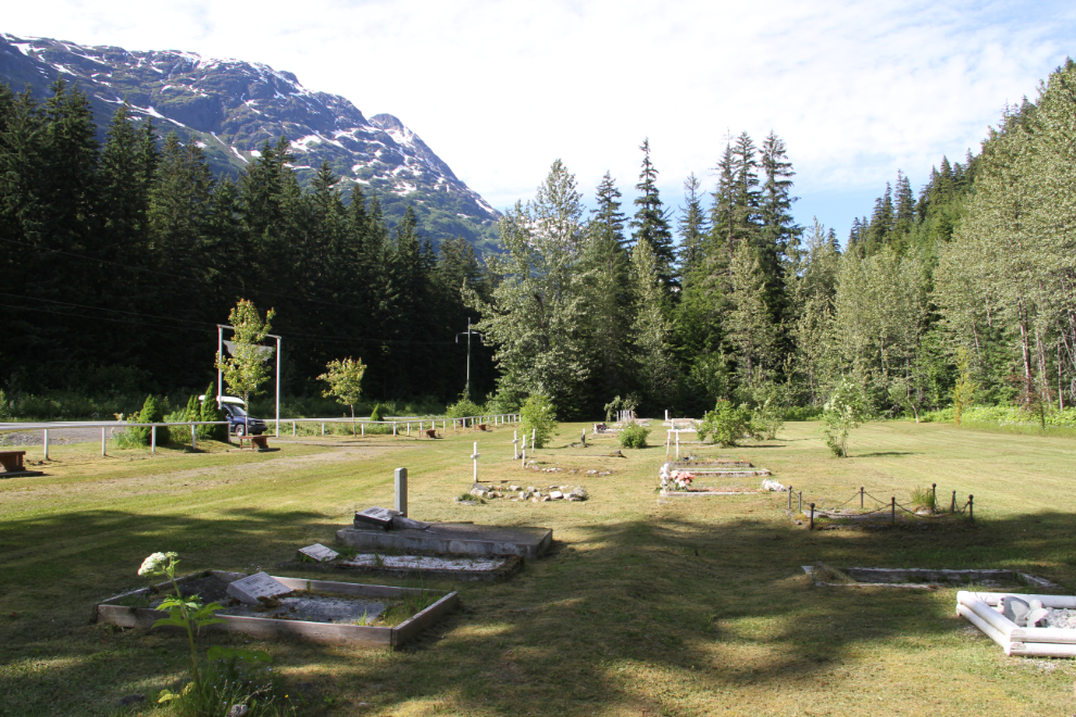
One of the projects on my list for Stewart was to at least start recording the grave markers at the two, possibly three, cemeteries in Stewart. It was already 5:00 pm when I began at the Ward’s Pass Cemetery, at Km 13.2 of Highway 37A. This is the cemetery that’s been in use since the previous one was buried in a huge rockslide in 1961.
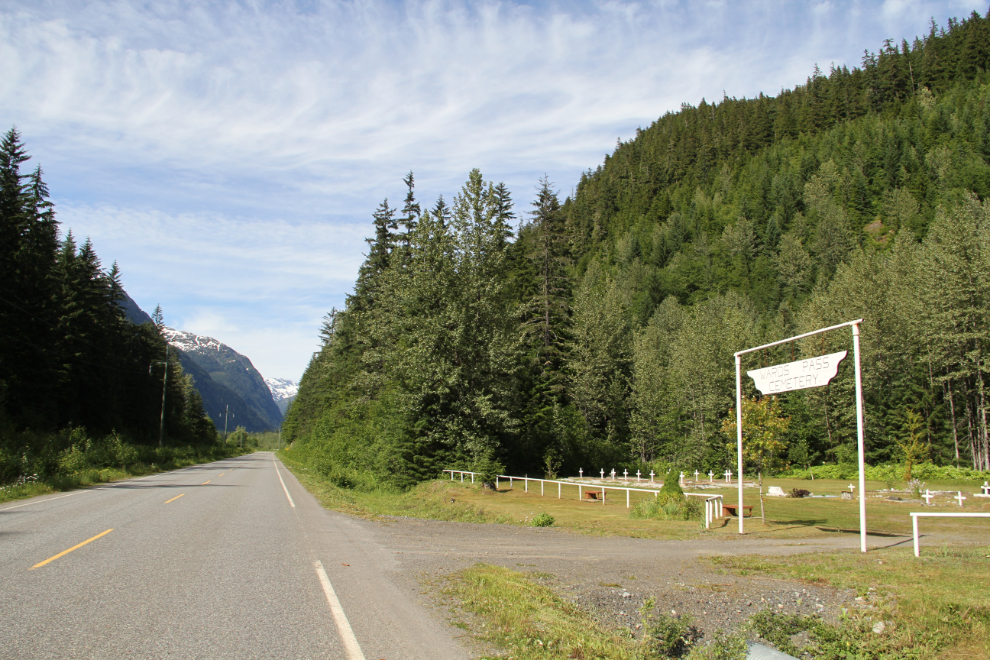
FindaGrave.com has published the photos taken by Diane Gravlee, an American visitor, in August 2013. They report 115 interments at the Ward’s Pass Cemetery. Mary Trace has researched the past residents of Stewart, Hyder, and the surrounding area, and produced a book entitled “People of the Portland Canal District.” It does not appear to be available to the public except for a copy housed at the Stewart Museum.
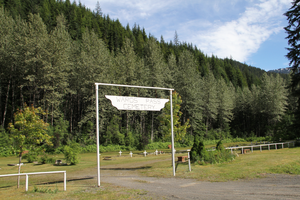
Nearly half of the graves are marked with this sort of simple wooden cross.
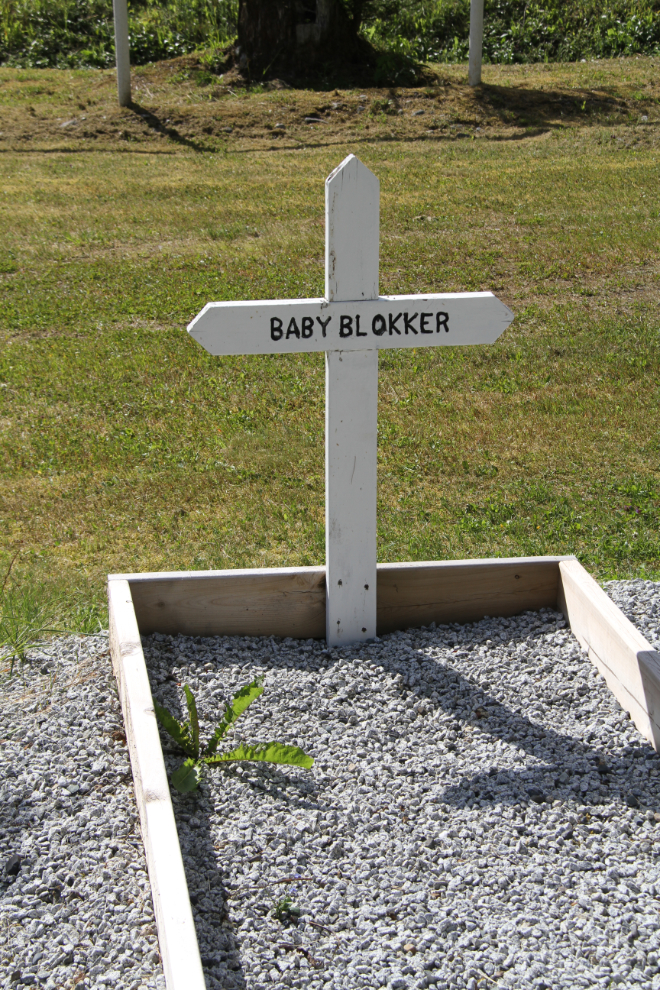
Vilmos Fekete was one of the 26 victims of the Granduc Mine Disaster, an avalanche that destroyed a mine camp on February 18, 1965.
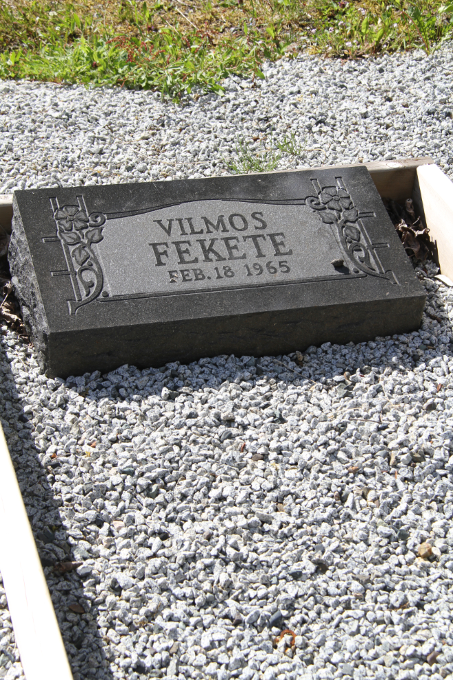
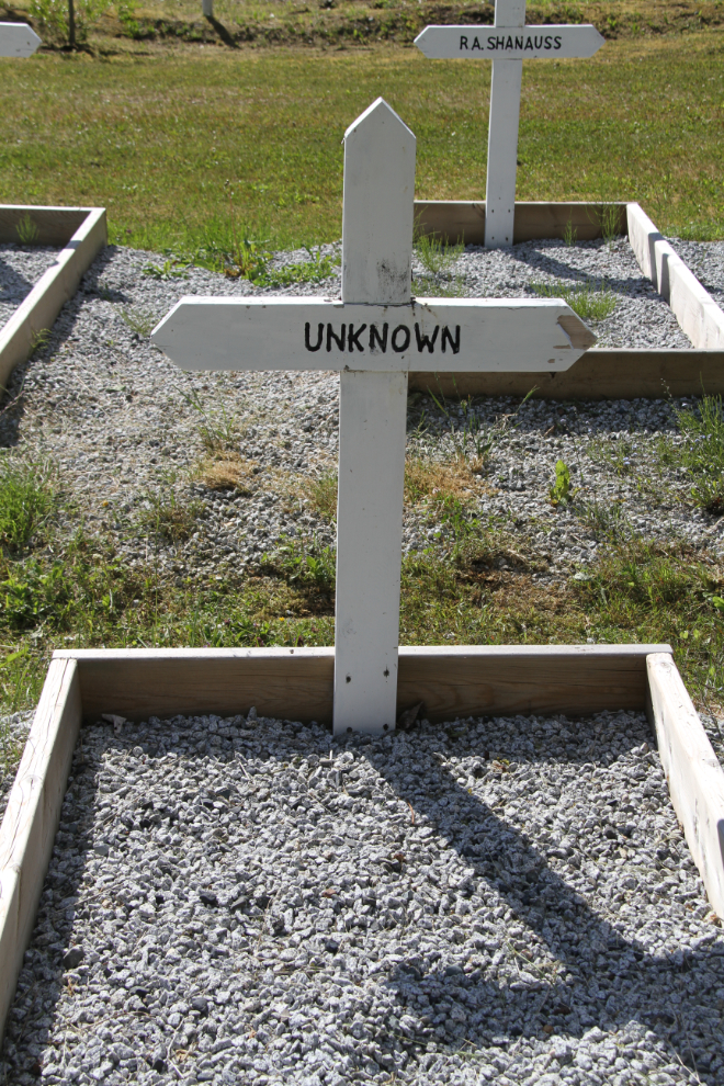
It’s unusual to find an “Unknown” grave in a fairly new cemetery.
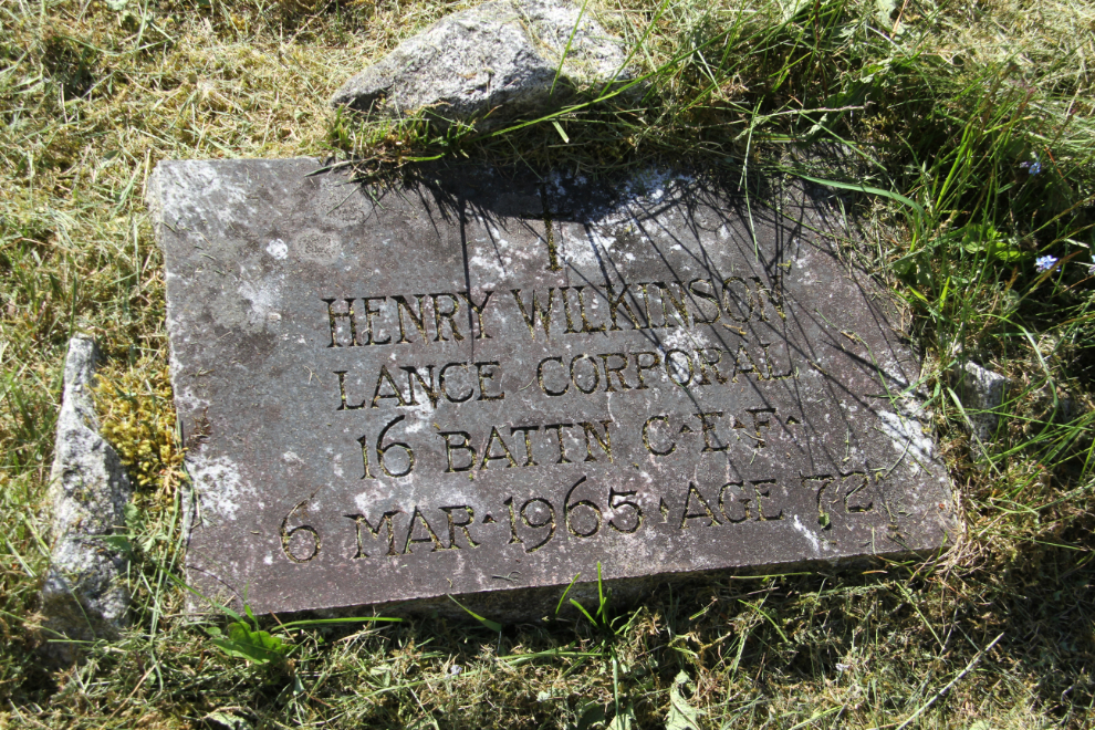
Henry Wilkinson, Lance Corporal, 16th Battalion, Canadian Expeditionary Force. I was surprised to find 2 CEF veterans in this small cemetery.
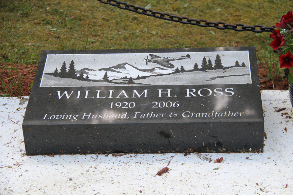
I expect from this headstone that William H. Ross was the pilot of a Hawker Hurricane in World War II.
I spent half an hour photographing markers, then returned to the RV park to make dinner for everyone.
For me, the Estuary Boardwalk is one of Stewart’s best attractions, and that’s where the dogs and I went for our long evening walk.
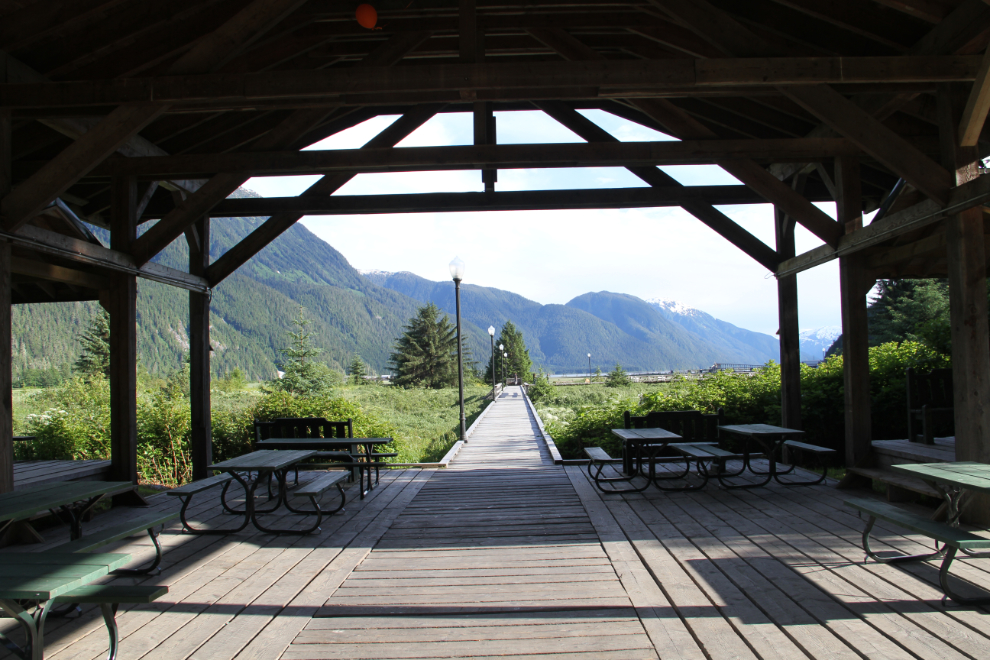
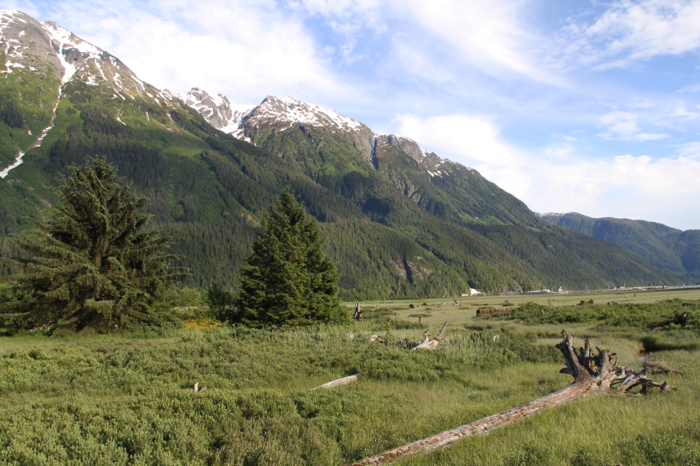
The boardwalk offers both spectacular broad views, and closeups of the plants and creatures that live on the estuary. It’s also a good place to meet people – I spent a while chatting with the new principal of the school.
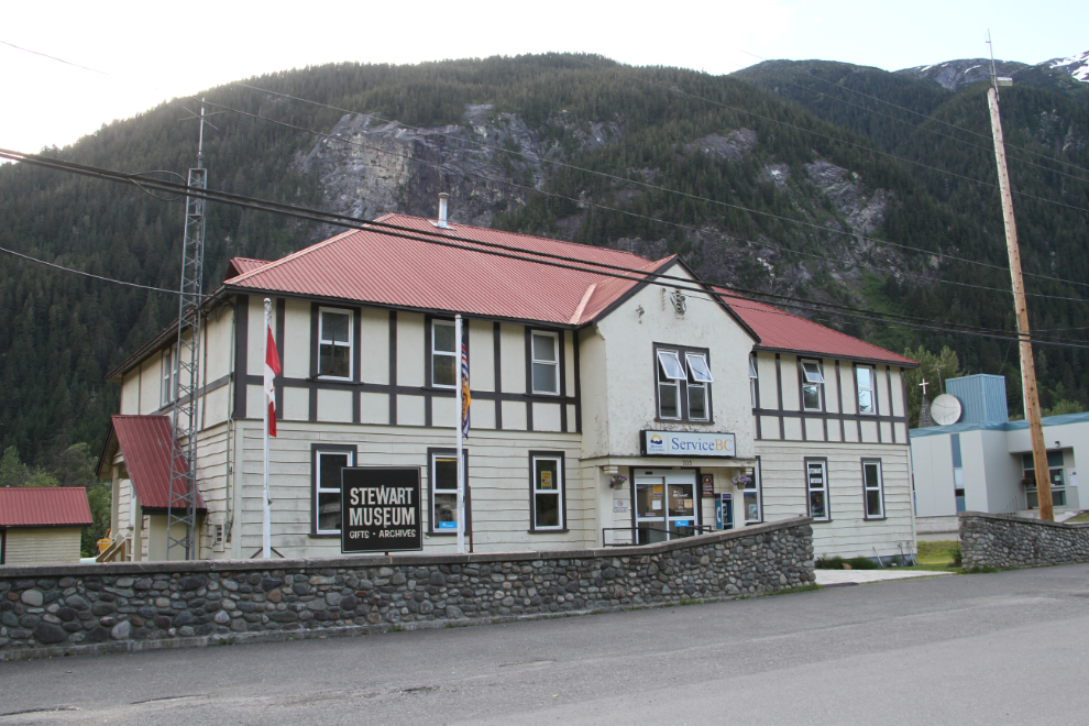
I wanted to go to the museum to talk to a woman there about cemeteries, but my timing was off.
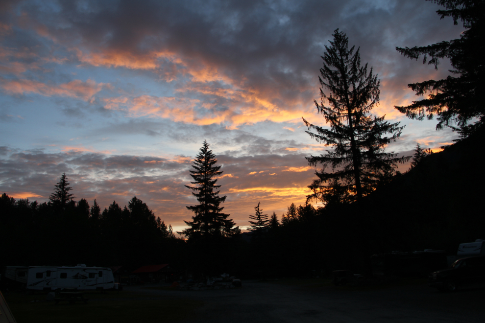
It was a lovely dawn on Saturday, June 24th. The next photo was shot right at 05:00. That sky didn’t stay long, though – by 10:00 we had low clouds and rain that kept getting heavier and heavier.
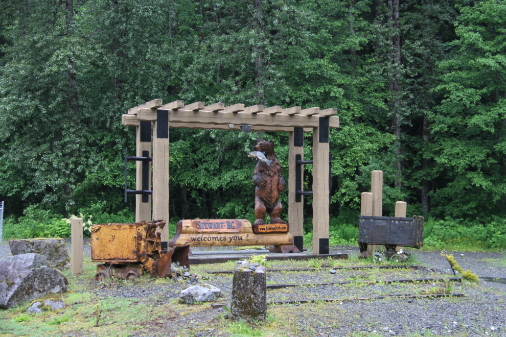
On a dog-walk near the RV park at 11:00, I noticed that the “Welcome to Stewart” sign has been changed, with a carved bear, and the ore cart lowered to the ground.
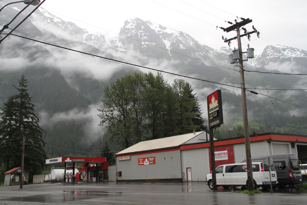
I fueled up at the only gas station in town, and was pleased to see that the price was reasonable, at $1.129. At Meziadin Junction, the lodge was taking advantage of their position with prices 10 cents higher.
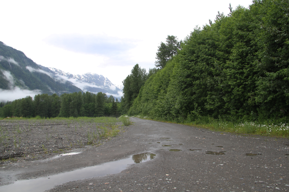
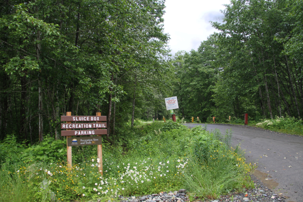
That evening, after spending the afternoon up the Granduc Road, I went looking for what seems to have called the Barney’s Gulch Cemetery. It was in operation from about 1923 until it got buried in 1961. All I knew was that it was behind the garbage dump somewhere – the gated road to it is on the right.
FindaGrave says: “All that marks the site, located behind the local dump, is a sign telling people to stay out, and rightly so.” It doesn’t say that, though – it just says to not disturb or remove anything.
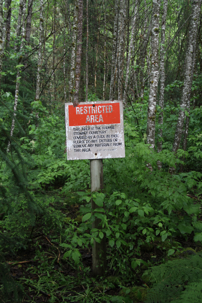
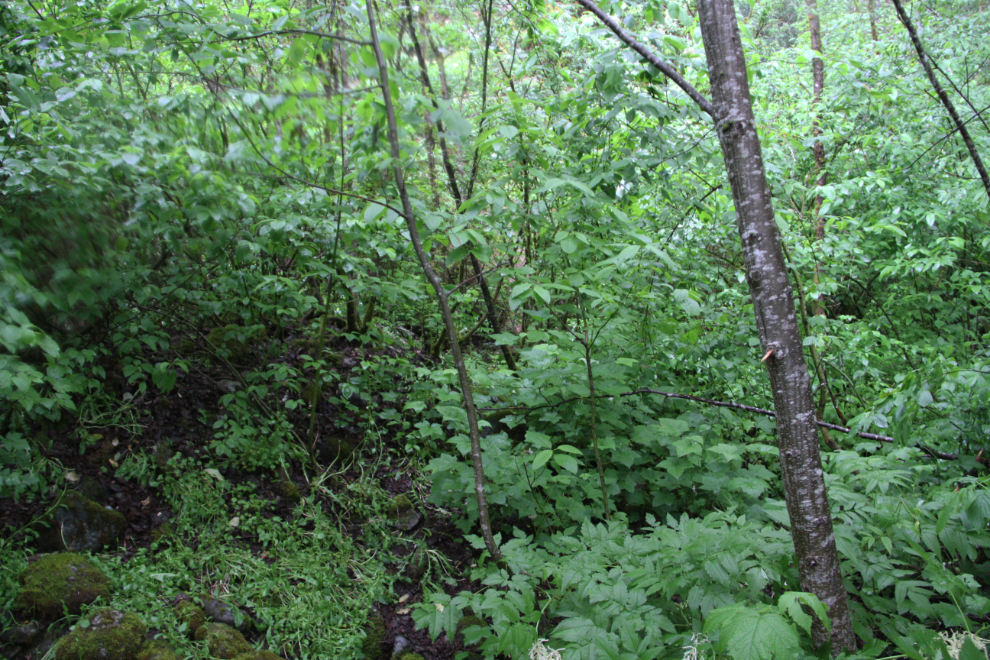
There really is no sign that there is a cemetery under the forest, though – it was totally buried.
Looking back towards the highway, the cemetery forest is on the right, the garbage dump on the left.
