Exploring a bit of Runavik, Faroe Islands
This is blog post #26 from our tour of northern Europe. On Wednesday, July 23rd, after spending the previous day at sea, sailing from Iceland, we docked at Runavik. We had no plans and as it turned out, didn’t do much, though I walked 5.6 km.
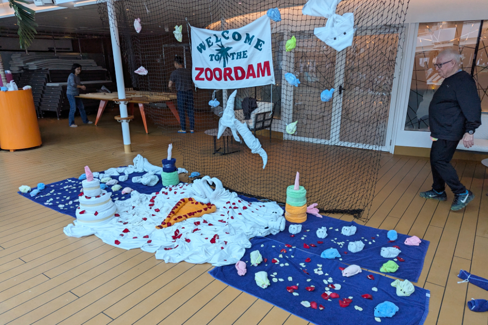
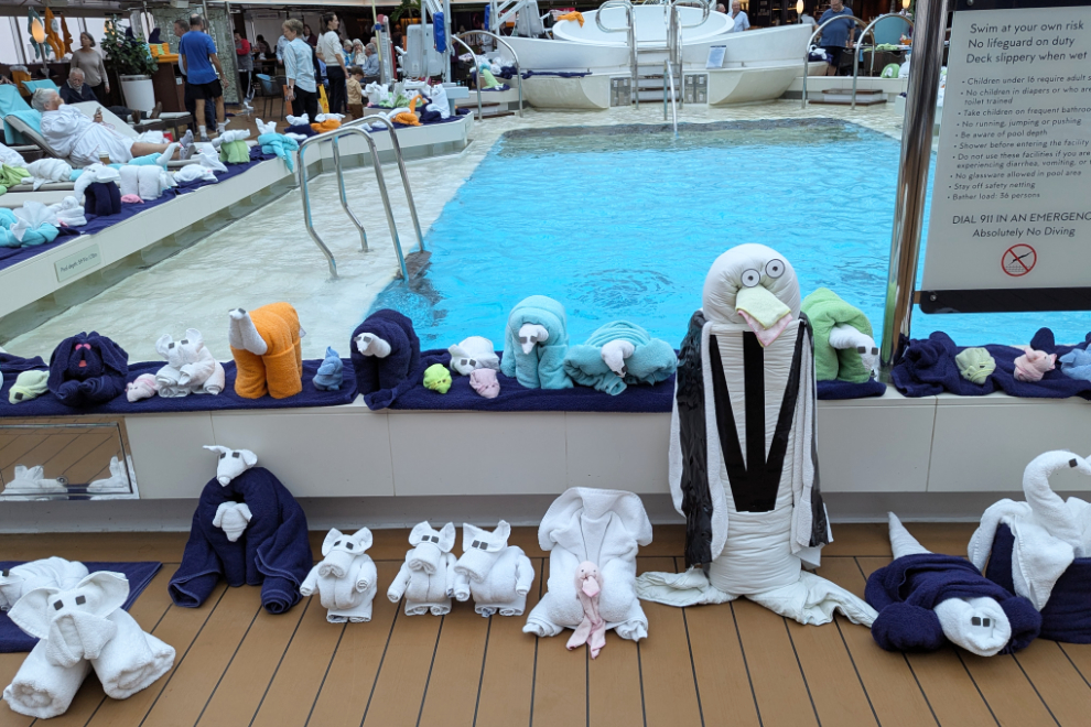
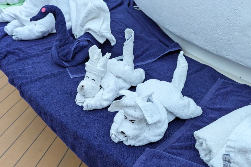
Sea days are quiet days for us, though other passengers choose to stay busy with some of the many onboard activities. Yesterday was a day for the crew to show off their artistic skills building the ever-popular towel animals. I’ll start this post by showing you 3 photos of a few of them.
When we arrived at Runavik just before 06:00, the visibility in fog was near zero, as it had been for most of the previous day.
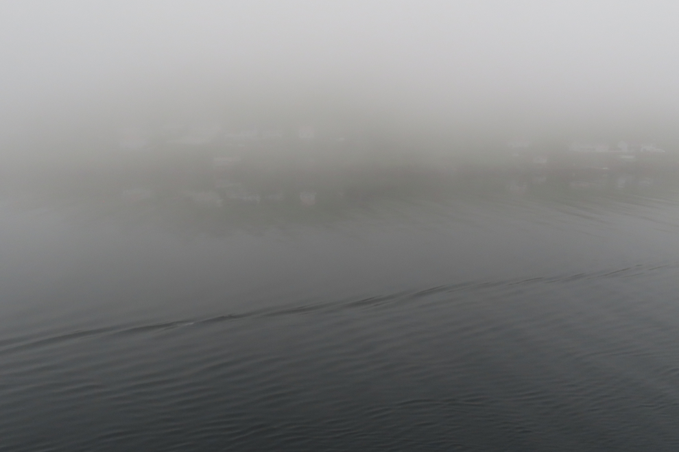
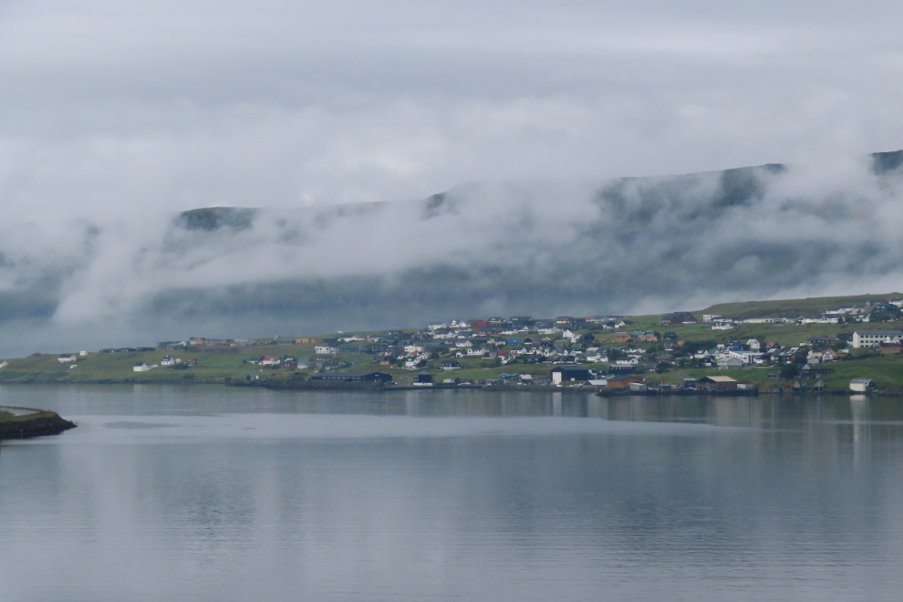
Within a few minutes, though, the fog had started to lift.
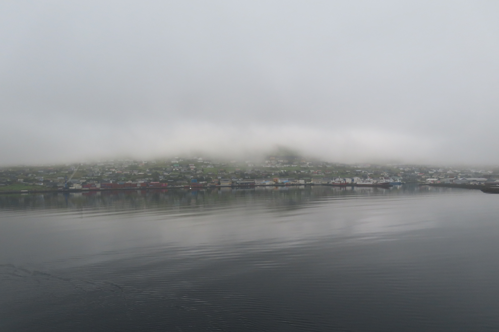
By 08:00, we could see enough to make a plan to go ashore.
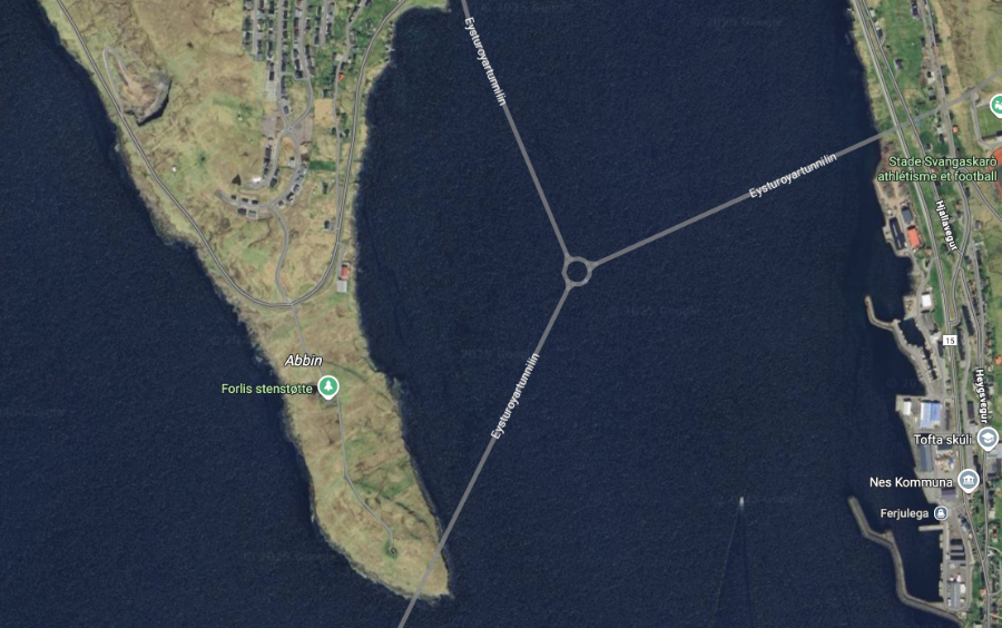
One of the things that caught my attention was a highway tunnel. Runavik is well connected with the neighbouring islands with tunnels.
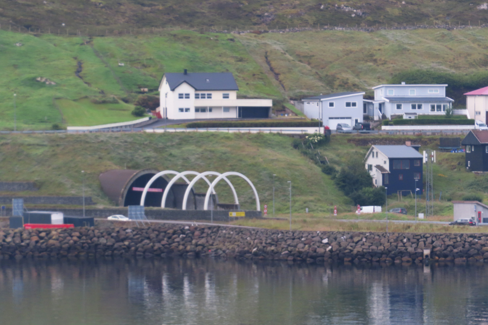
Runavik has the world’s only undersea highway roundabout – there’s how Google Maps shows that.
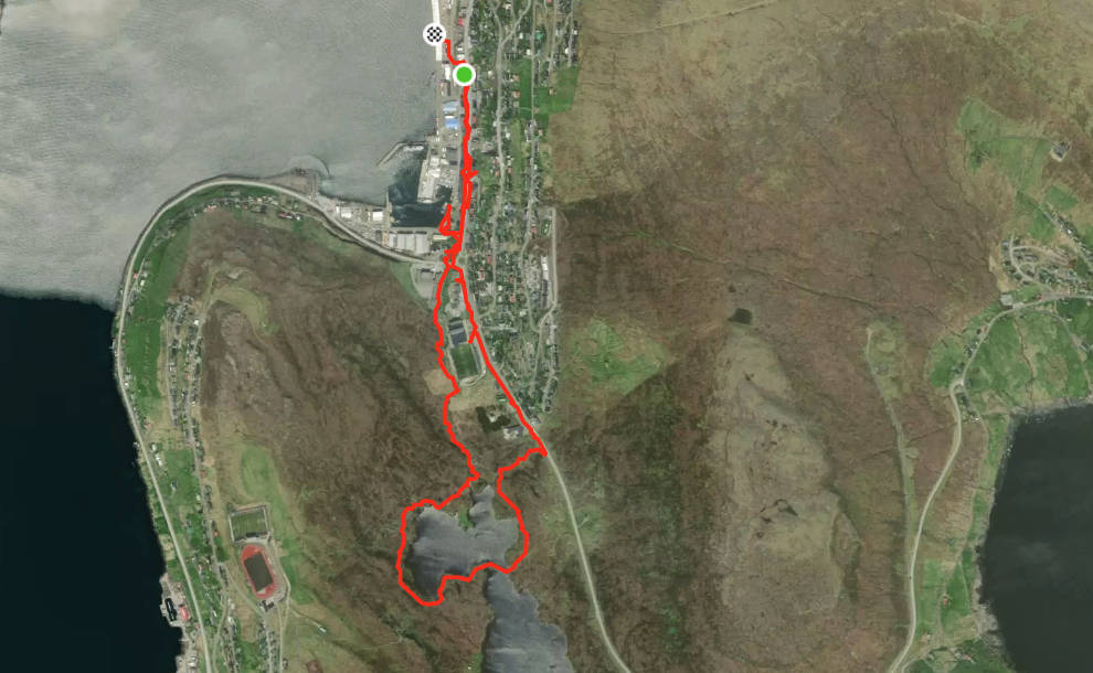
Cathy and I went ashore just after 09:00. Here’s my route for the day.
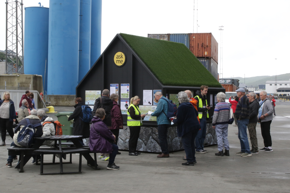
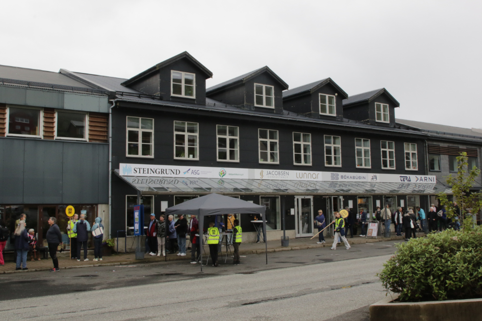
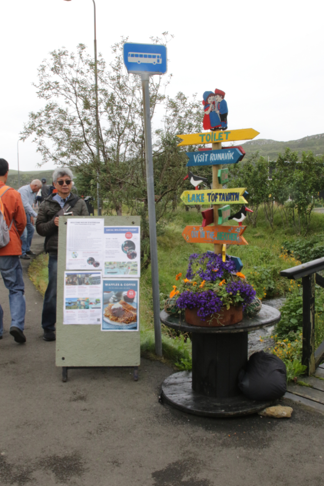
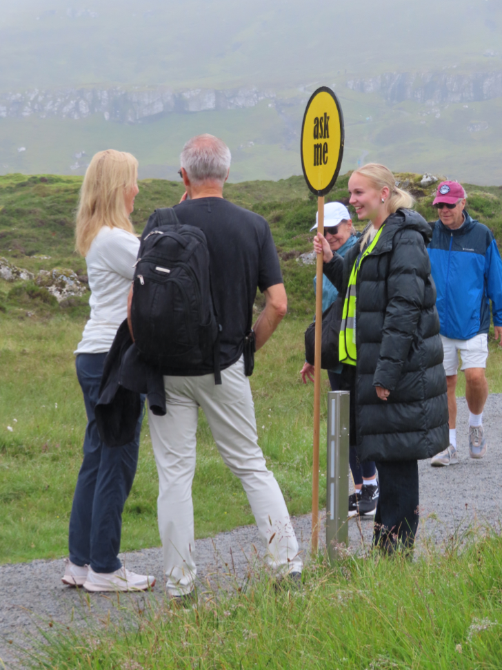
The community has a hired a lot of students as information people. The yellow “ask me” signs were everywhere, and that felt very welcoming. This information stand was on the dock.
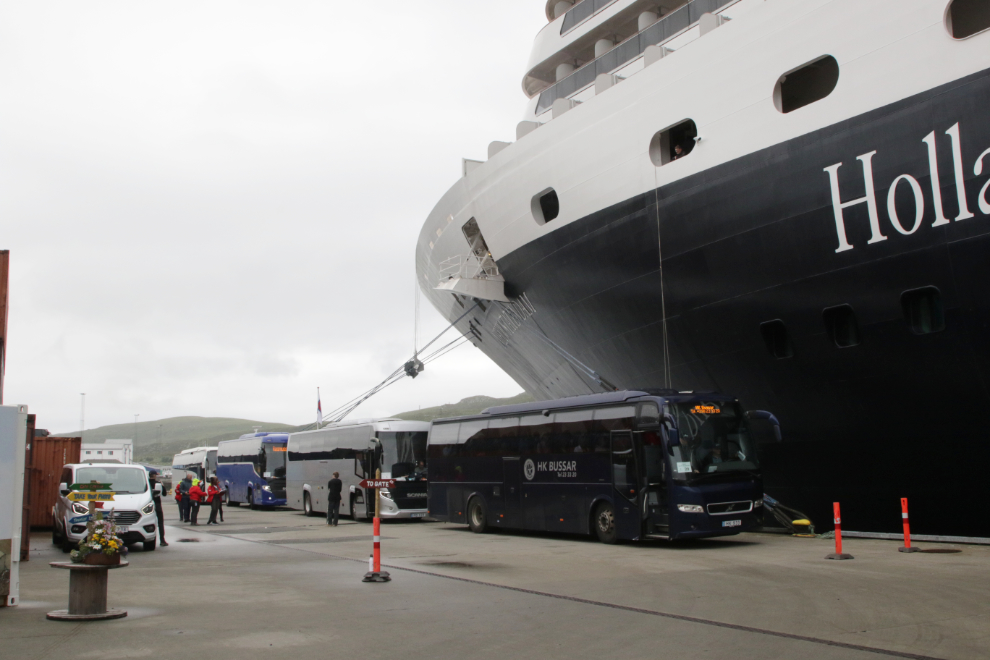
There were several tour busses heading out. I always like to see lots of money being spent at the ports we visit (and we left thousands of dollars in them).
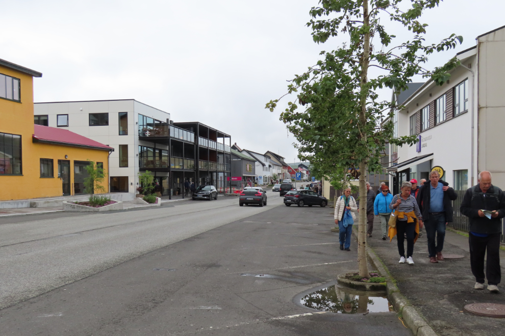
Although Runavik has only 575 residents, that’s a very deceiving number, because the population of the area it serves (the island of Eysturoy) is over 11,000. The main shopping area is along Route 15.
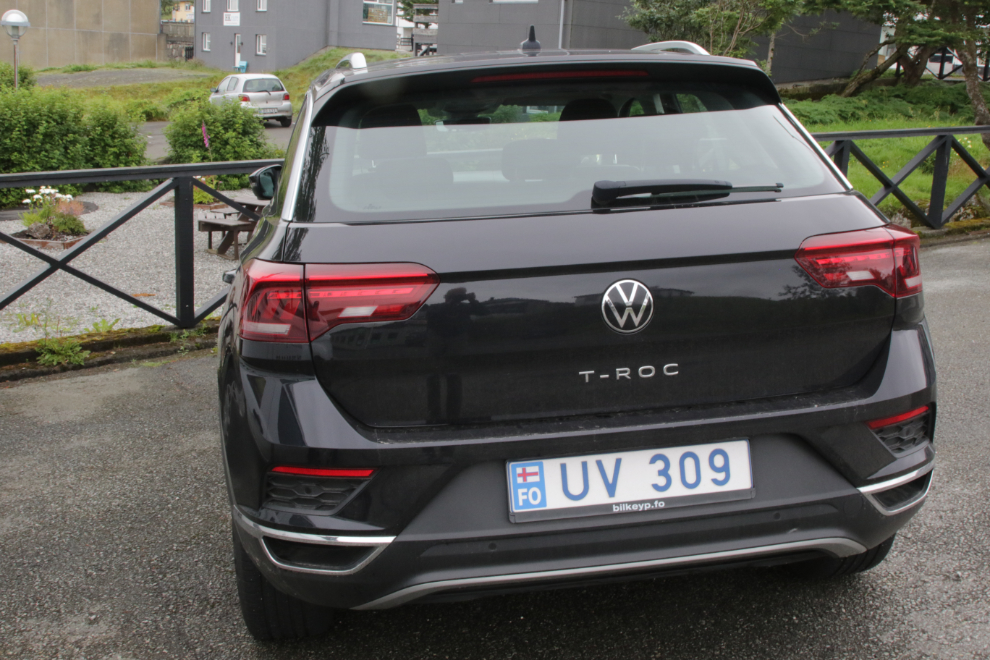
A Faroe Islands licence plate.
From the shopping area, I dropped back down to the harbour.
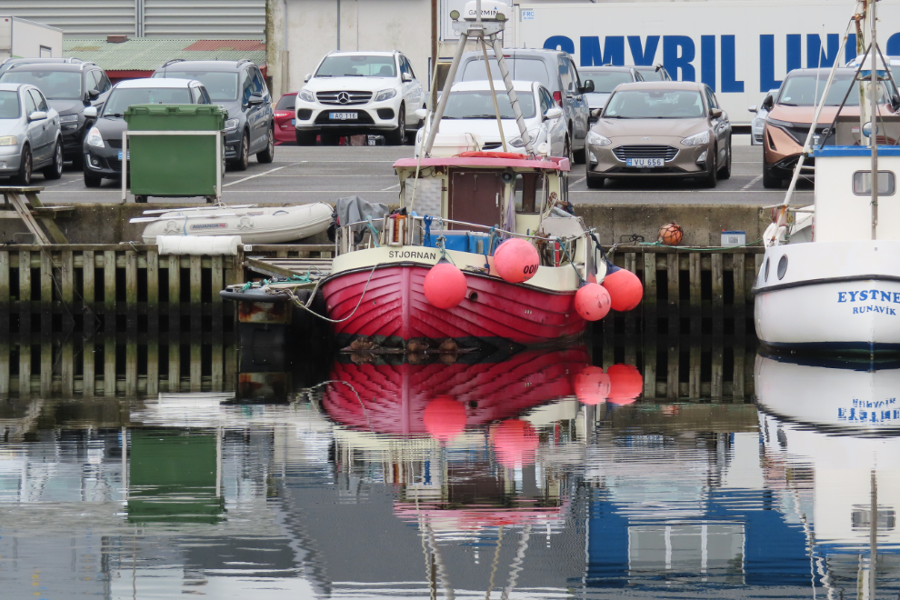
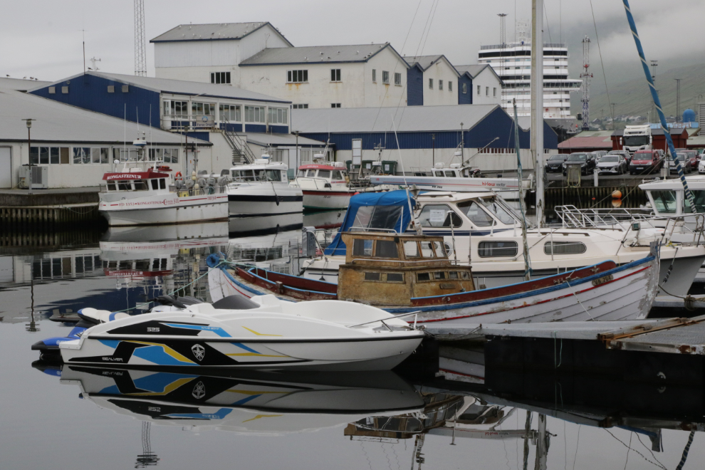
This boat was getting quite a bit of attention.
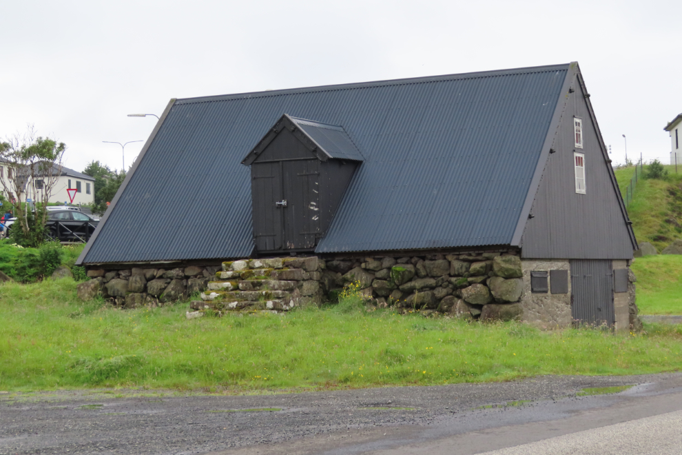
I haven’t found any information about this intriguing old building on the waterfront.
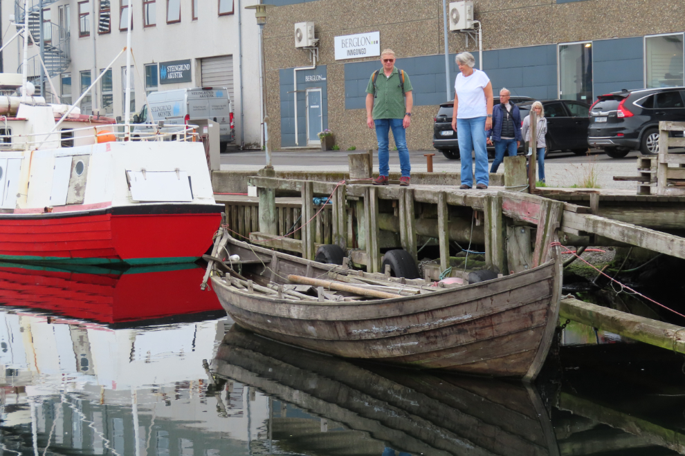
There were plenty of boats to keep me interested – old and new, work boats and play boats.
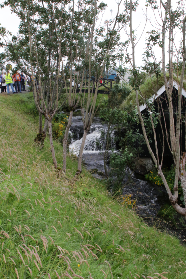
My vague goal was to hike around the lake Toftavatn at the southern edge of town. The route to it went by this little creek…
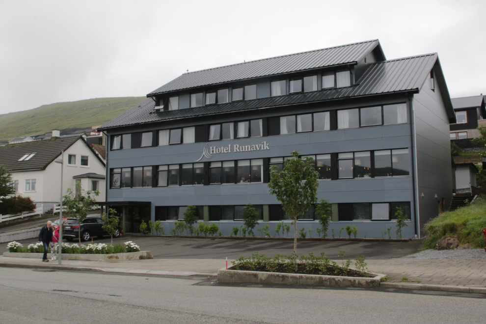
…and past the Hotel Runavik, at a roundabout that was very busy with fellow passengers from the Nieuw Statendam.
There was lots of information at the roundabout, too – signs and “ask me” people. The route I took was more interesting than the one suggested 🙂
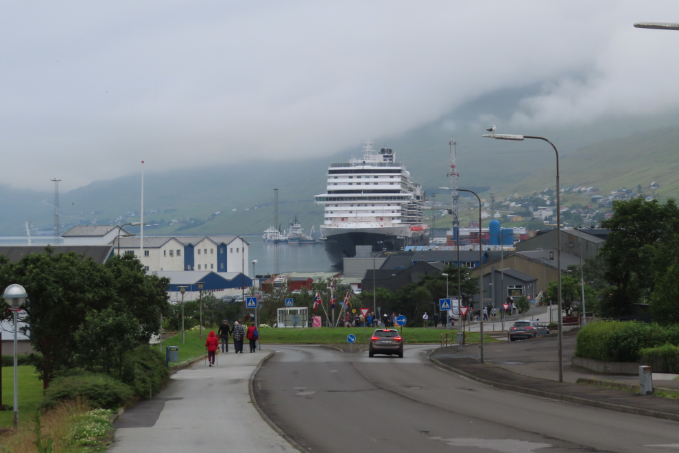
Looking back towards town, with our ship dominating the view.
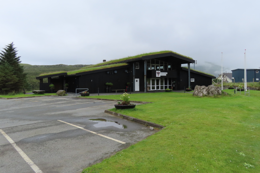
I don’t know what this sod-roofed building is – it has the motto “Skotahusid vid lokin” on the front, with what may be a Scouts emblem.
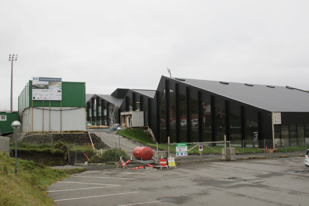
Vid Løkin, next to the building seen above, is the football stadium.
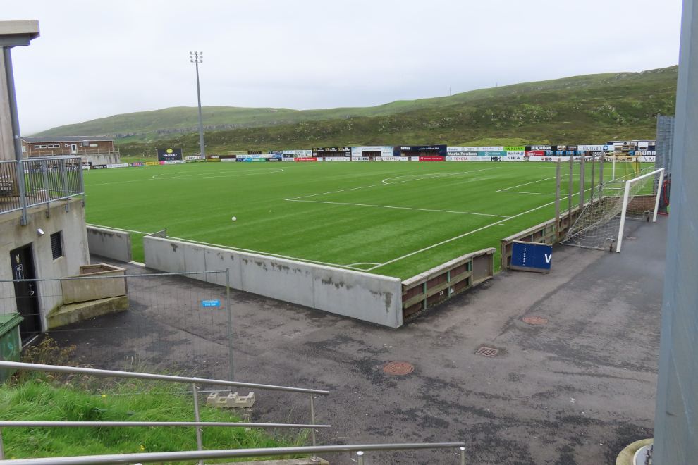
A very large community centre is nearing completion beside the football stadium.
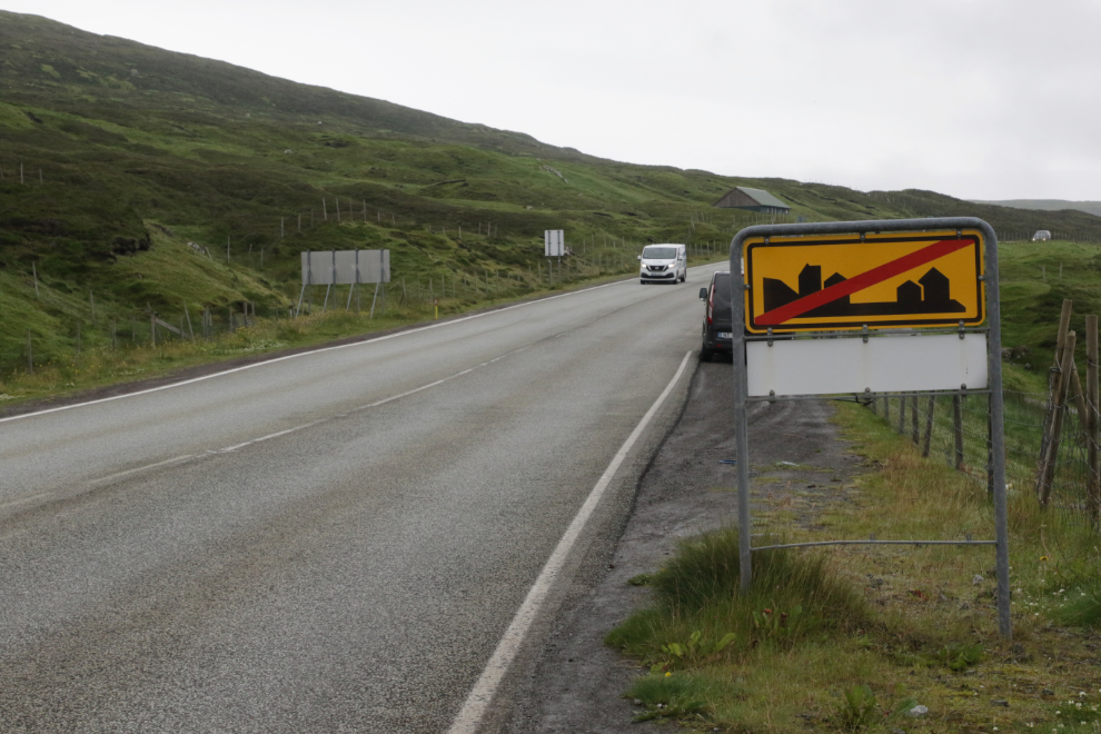
That sign means you’ve reached the end of town. In case you hadn’t noticed the vast open fields and slopes ahead 🙂
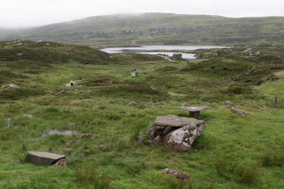
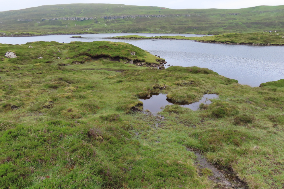
My first view of Toftavatn. Yes, this was were I wanted to spend some time.
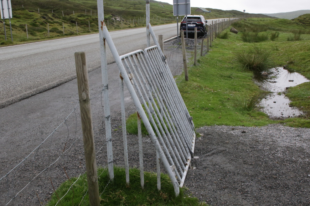
A self-closing gate – as simple as gravity.
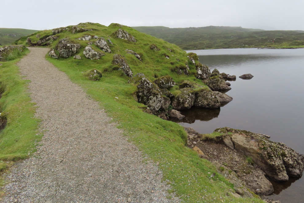
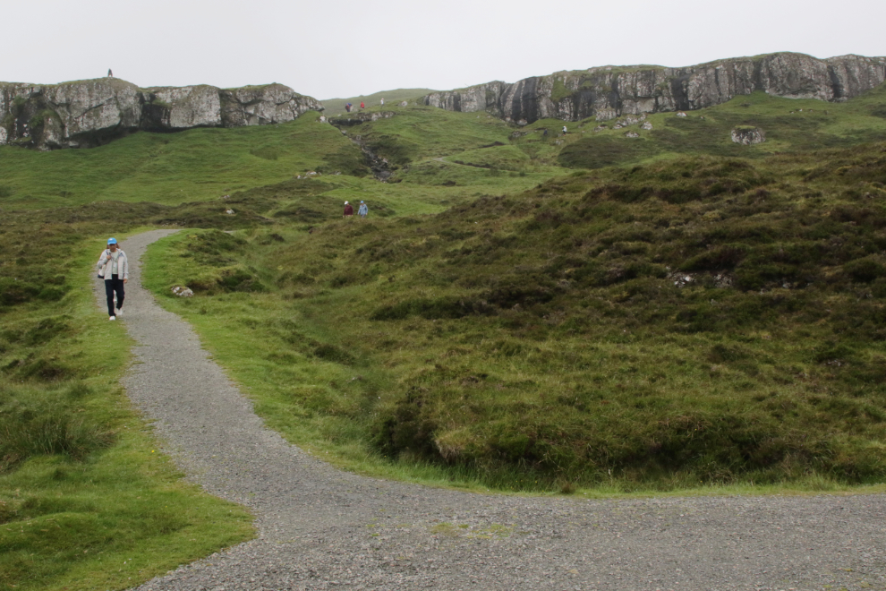
There were few people when I arrived, and Toftavatn was a lovely calm place. The paths are very nice.
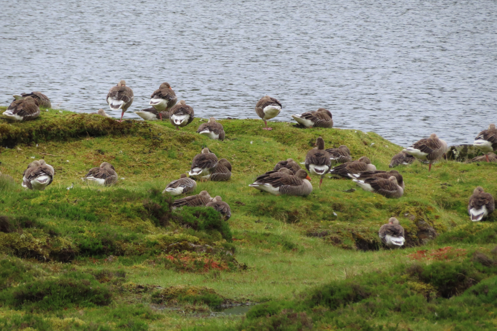
These greylag geese (Anser anser) seemed to be living the good life. Birdwatching here is very good – a bird-identification panel at the entrance tom the park lists 27 species.
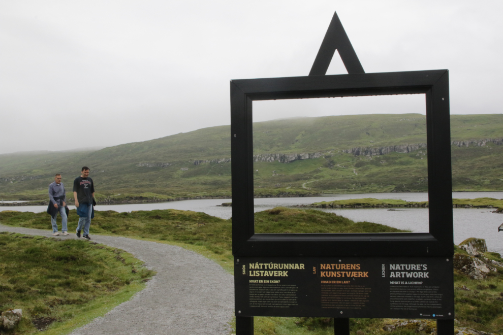
There were a few of these “picture frame” information panels. All the ones I read were describing lichen – sometimes they frame a nice photo, as this one did, sometimes not.
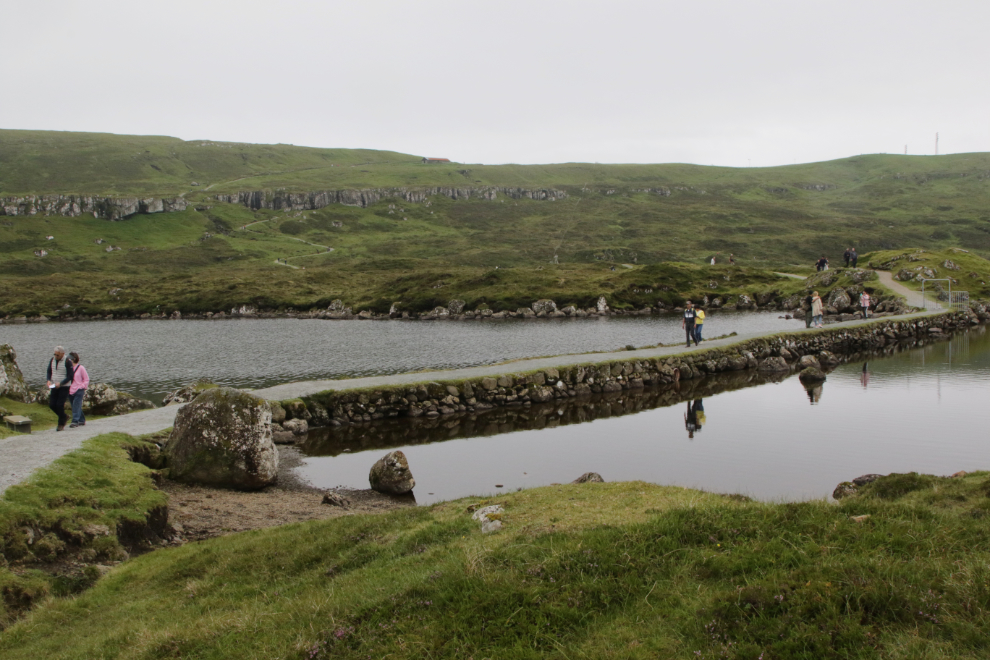
My timing was bad at this causeway, and I met a crowd of people halfway across – it’s too narrow for that.
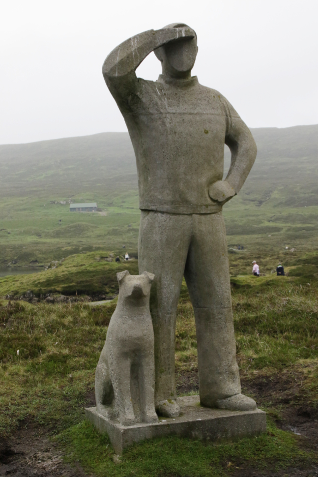
Simon Og Manning’s sculpture was a very popular photo subject.
I had hoped to get into the high country, but by the time I reached that trail, clouds were starting to obscure the summit, and I could see a rainstorm moving in from the north, so it was time to leave.
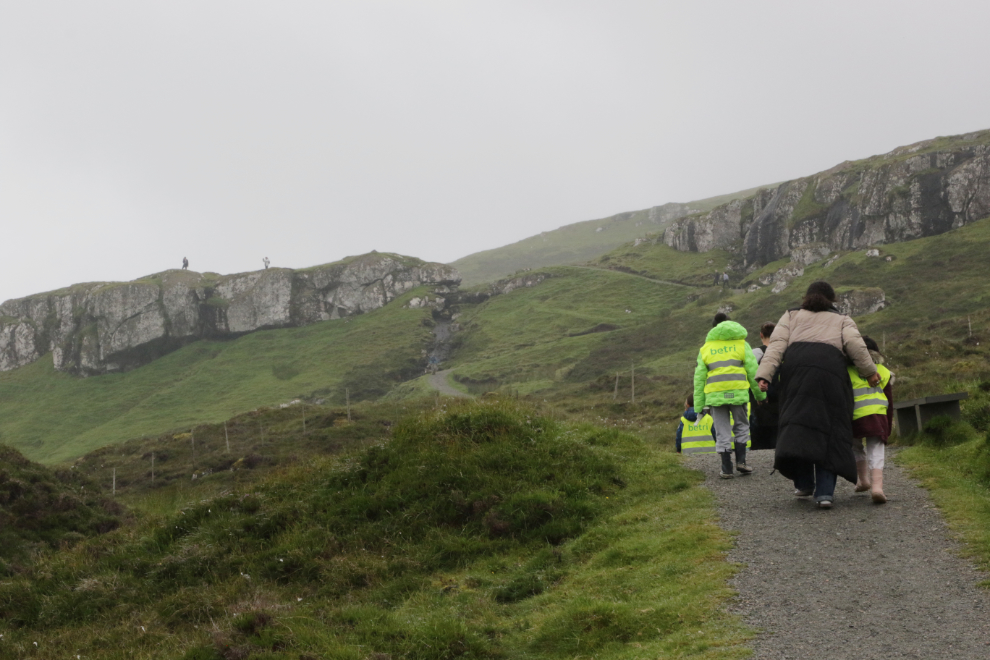
A group of littles out for some exercise 🙂
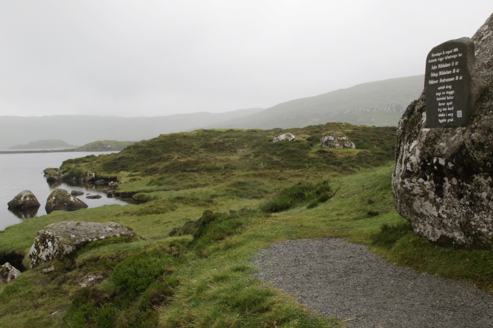
This appears to be a memorial to 3 boys, 10 and 11 years old, who were drowned here on August 31, 1964. What a loss in a tiny town 🙁
Leaving the park on a different trail, I came to one of the “ask me” people being interviewed, for Instagram I expect. The “ask me” people of both sexes were all that beautiful.
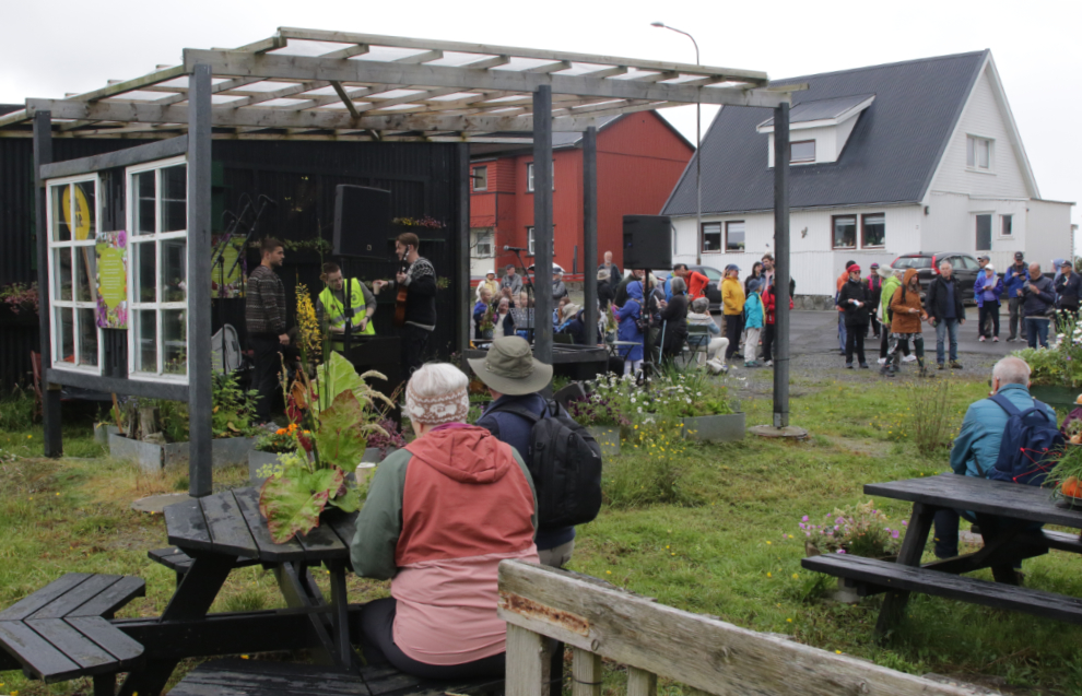
A little park near the roundabout was rockin’ with great music and the cafe was doing a booming business.
When we sailed away from Runavik, visibility was quite poor in rain, but I had to capture this scene of the rugged landscape.
I thought I had come away from Runavik with a great tshirt, but ended with nothing except a $95 charge on my card. In most places we visited, tshirts come in bags so you can’t inspect them or in many cases even see the whole design. Anyway, I got back to our cabin to find that it’s a woman’s tshirt (I didn’t know there was such a thing) and I also got charged for a hat I didn’t get (or want). There was no time to go back and try to rectify it, so one of my friends will be getting a Faroe Islands tshirt.
The next day, Thursday, July 24th, we would anchor at Lerwick, Shetland Islands, and tender shore. We had a bus tour booked there.
Runavik’s foggy port dominated by the Voordam reminds me of the port in Juneau, with its mountainside location, tiny buildings, and streets curving.
Yes, there are some similarities.