An early-Winter drive down the Icefields Parkway
Normally, driving the Icefields Parkway is the main highlight of a trip to Alberta. Yesterday, not so much. I didn’t sleep well, woke up sick, and an early-winter storm reduced visibility along much of the route.
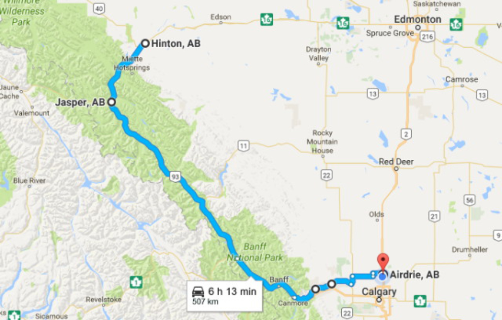
This was my route – click here for an interactive version of the map in a new window.
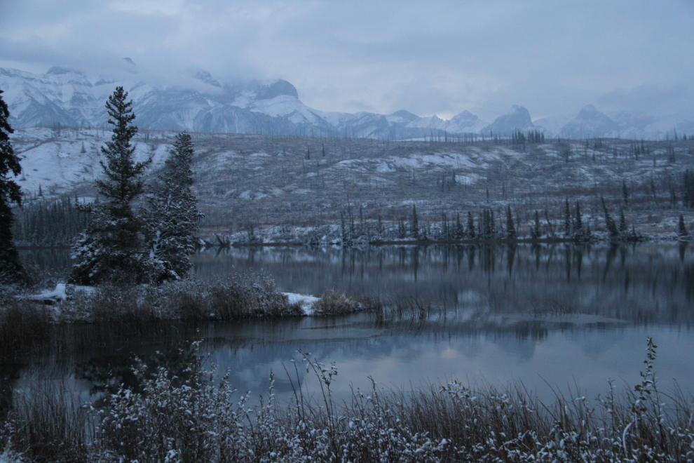
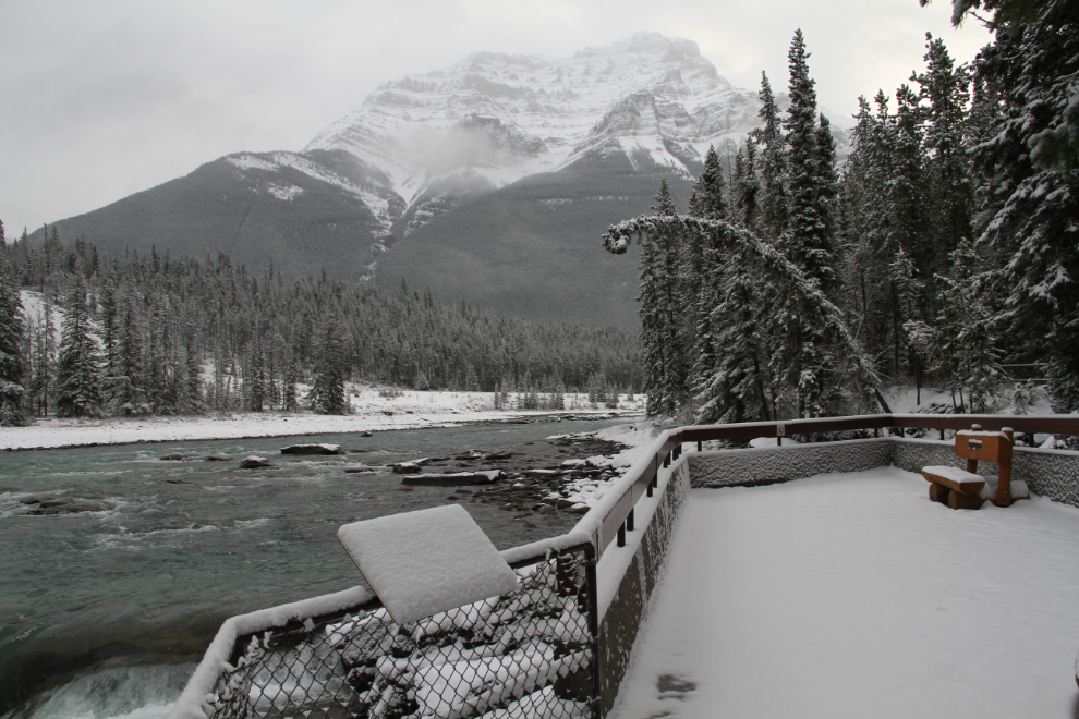
I stopped for breakfast, and was driving fairly slowly because of slick roads and the high likelihood of meeting animals, so it was 08:05 when I made a photo-stop at Talbot Lake, just north of Jasper. Just before this, the highway had gotten extremely slippery, but switching the transfer case from “Automatic” to “Snow” took care of that.
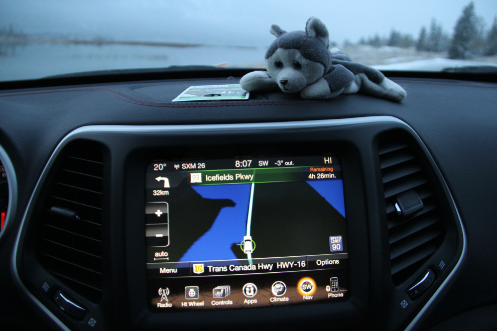
I set the GPS at Talbot Lake, for the time to Canmore, where I’d hoped to meet John Rathwell of Searching for Sero. Not that I need directions, but… well, I don’t really know why I turn it on 🙂
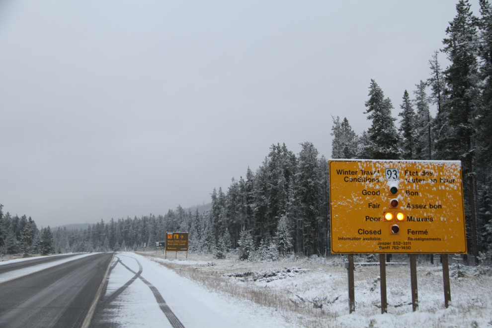
Starting down the Icefields Parkway at 08:45. I’d remembered to bring my Parks Canada annual pass, so saved a few bucks there. Two of the 3 cars in front of me turned around when they saw this sign reporting “Poor” driving conditions. But for me, that was 2 thumbs up and “YEAH!!” – it could be a great way to test the Jeep out.
A few minutes later, I stopped at Athabaska Falls. It was really nice to see it without a horde of tourists around. It’s so much easier to feel the power of the place without that sort of distractions.
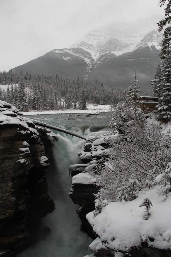
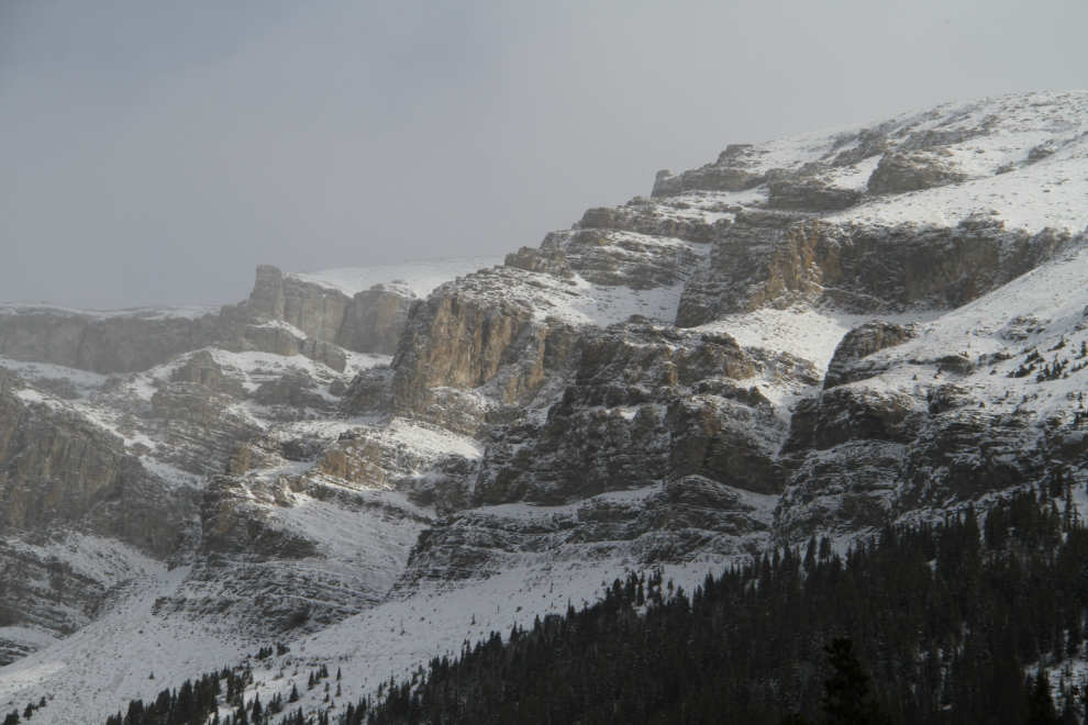
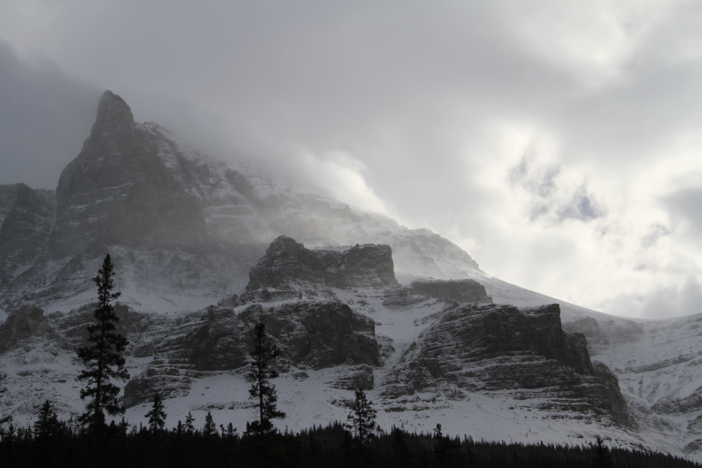
Mine were the first footprints in about 3 inches of fresh snow.
Both the road conditions and the visibility varied a lot. Some wet road, some ice, some deep slush. And some breaks in the clouds. All in all, not bad (or “poor”) at all.
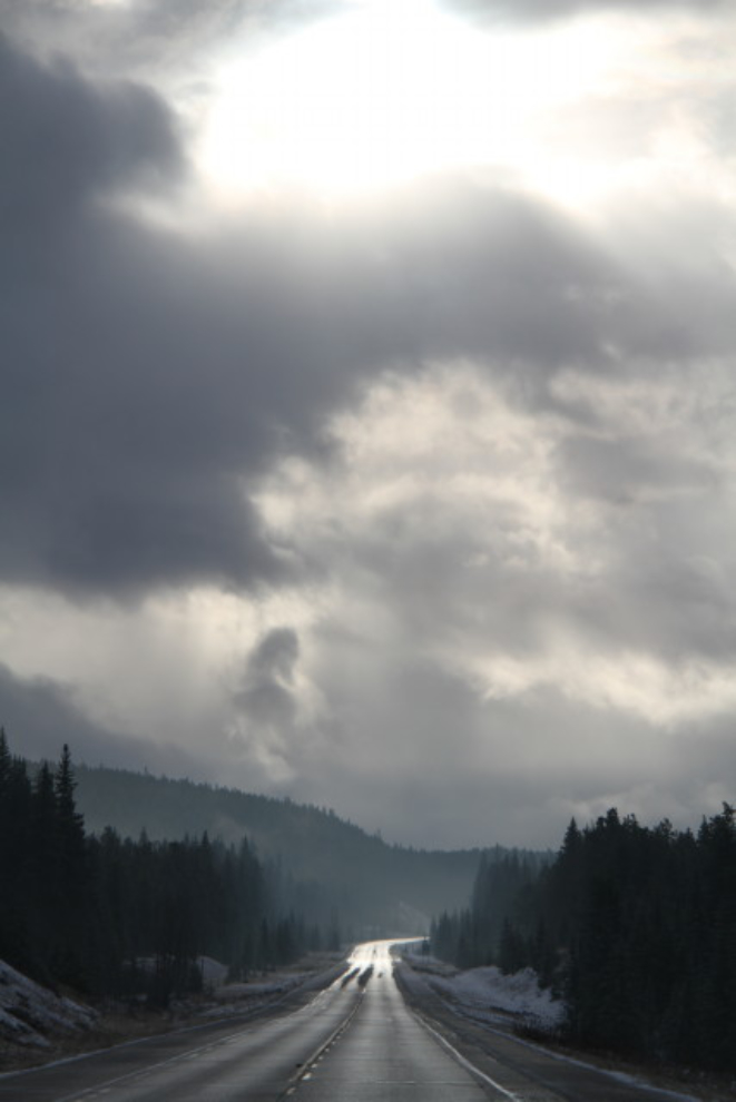
Sometimes great views of the peaks just lasted a few seconds, but there are plenty of pullouts and wide shoulders along the Icefields Parkway. Not that there was any traffic to worry about.
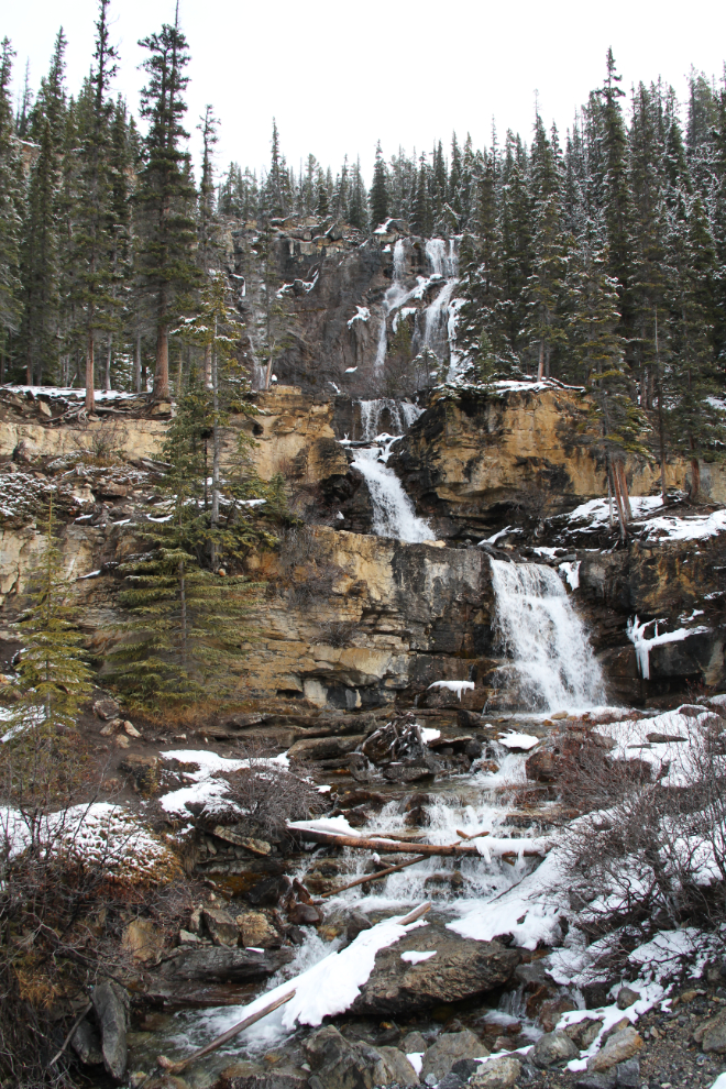
Tangle Creek Falls was pretty quiet as the high-country is pretty much all frozen.
Approaching the Columbia Icefield at 11:20. I was feeling pretty sick and had stopped for a short nap just before this, so it was a slow trip.
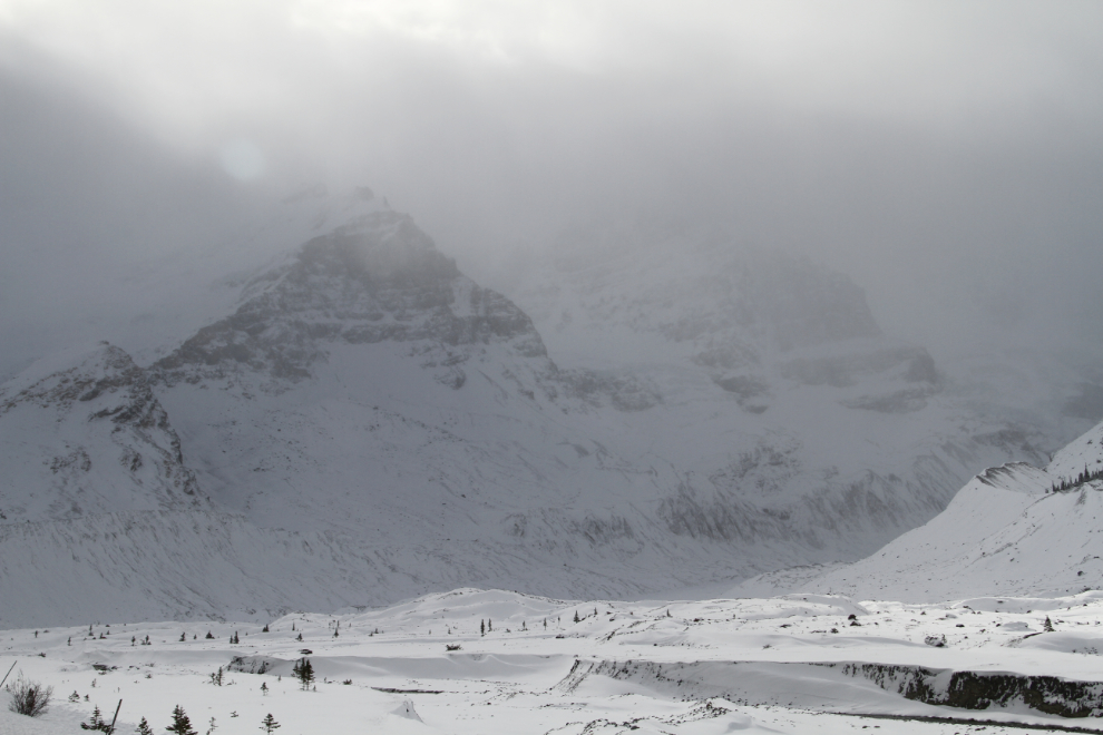
The Columbia Icefields. Things were really quiet at the Icefields Centre, but I was surprised to see a couple of tour buses pulling in.
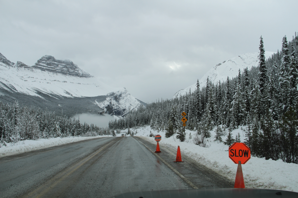
A few k south of the Columbia Icefields, these signs stopped me. I expected something major, but it turned to be just a pickup off in the ditch. It was on a pretty blind corner, though, so these signs were a good idea.
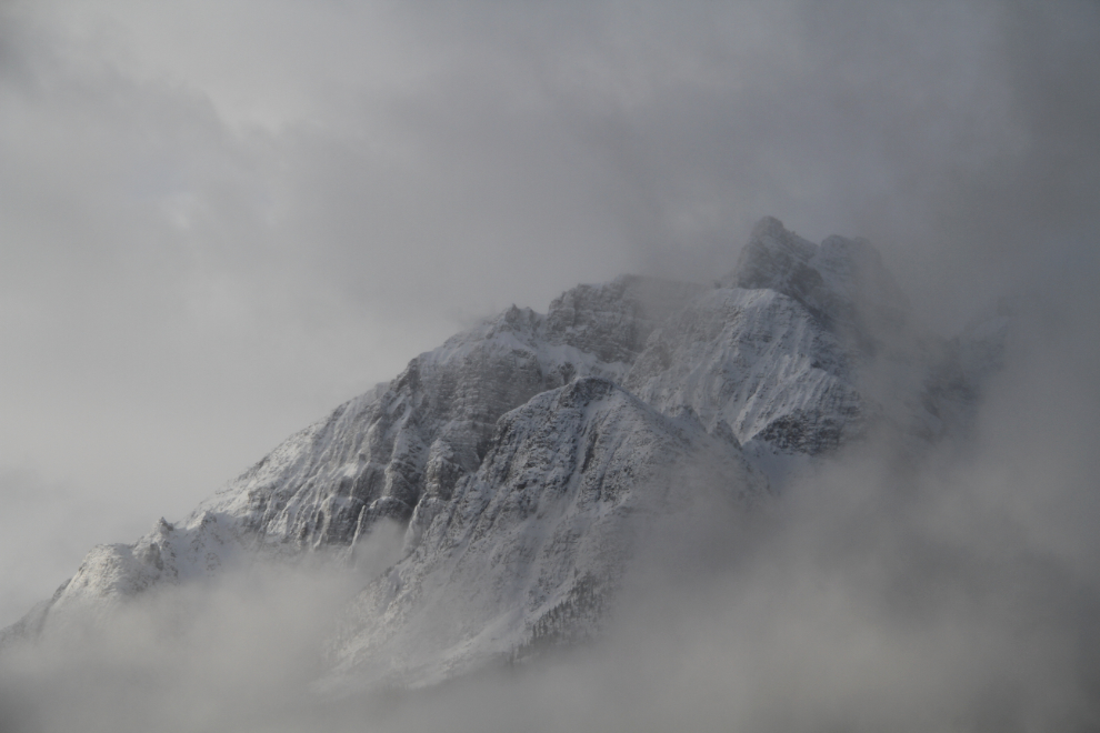
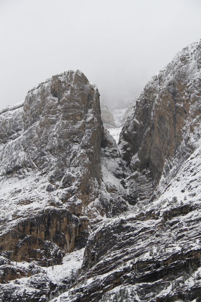
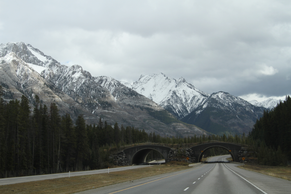
Quite incredible, aren’t they? Conditions had been gradually improving since I passed the Columbia Icefields, and tour buses of all sizes became fairly common.
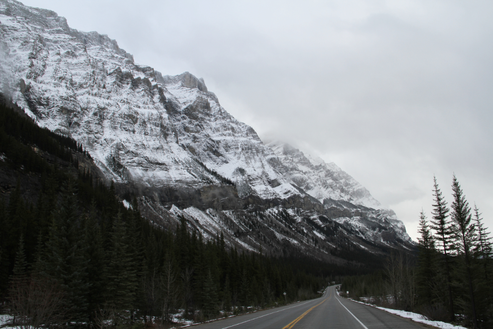
A rather average sort of view along the Icefields Parkway. I’d like to spend a week along it in a shoulder-season trip.
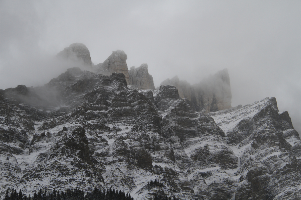
You quickly run out of exclamatory words and phrases along the Icefields Parkway. Just “wow” often suffices 🙂
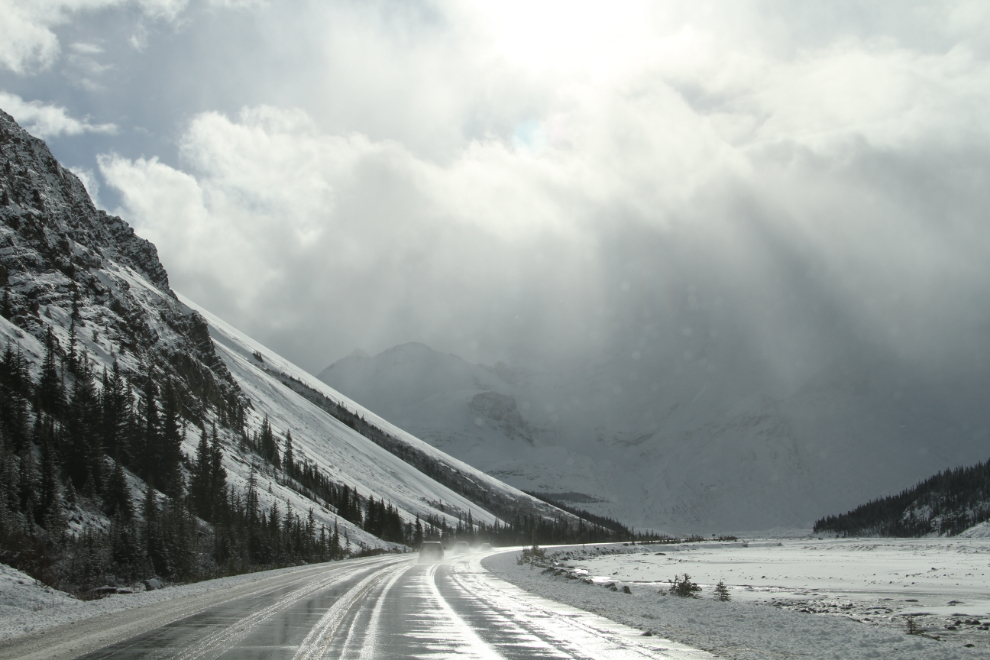
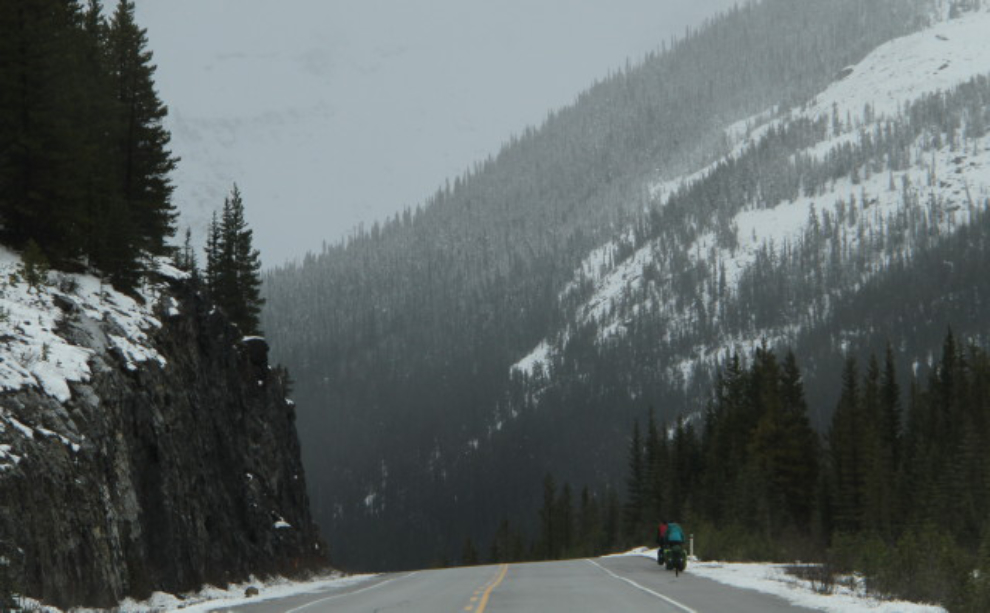
Just south of Saskatchewan Crossing at 12:10. The temperature ever since I left Jasper had been up and down from -2 to +2 C (28-36°F).
A couple of minutes later, I met these bicyclists! I got the impression that this storm surprised a lot of people. There were lots of vehicles at trailheads with deep snow on them. Or do people actually go out camping when they know that heavy, wet snow is coming?
I decided not to call John when I reached Canmore – I was just too sick. I stopped and got some drugs, had a quick burger, then stopped for another short nap and long phone call with Cathy. This was shot on the Trans Canada (Hwy 1) at 2:00 pm. Shortly after, I turned off into 1A, which always messes up my GPS (JeepyS?) – “no, I know a better route!!”.
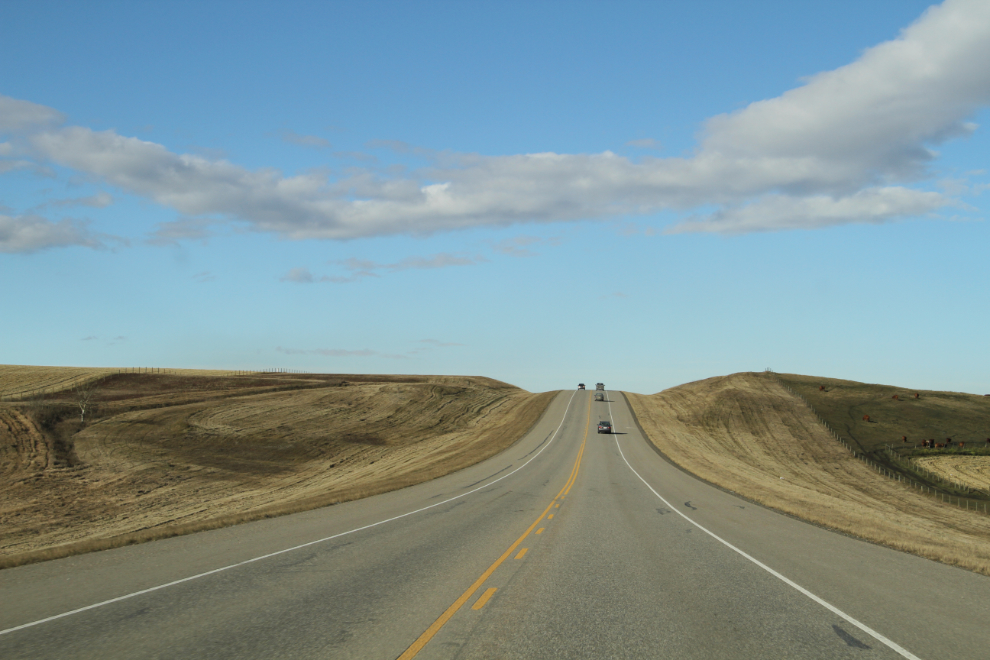
It was 11°C in Canmore, and stayed there until I reached my daughter’s place in Airdrie. This photo was shot on Highway 22 north of Cochrane. In Aidrie, we visited for a while and then I went to bed.
As I write this on Sunday, I feel much better – 13 hours sleep is my miracle cure. Tomorrow, the 3-day drive home begins, with overnights at Grande Prairie and Muncho Lake.