Driving the Fraser Canyon and Fraser Valley, Kanaka Bar to Chilliwack
Days 7 and 8 of the trip, May 2nd and 3rd, took us from the calm and spectacular Fraser Canyon to the extremely busy world of freeways and malls at Chilliwack.
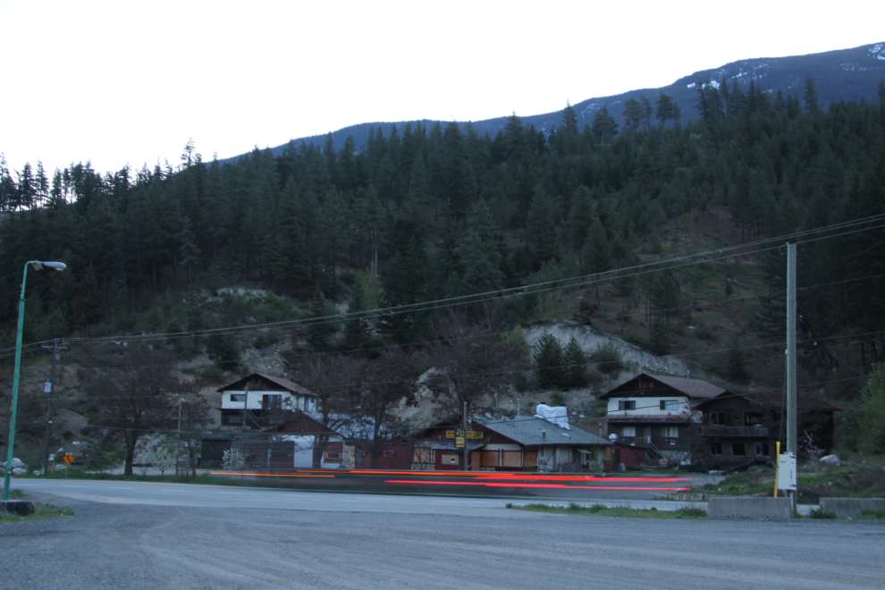
The pullout at the old Kanaka Bar Lodge was a fine place to wake up. I don’t remember hearing much traffic on the highway through the night.
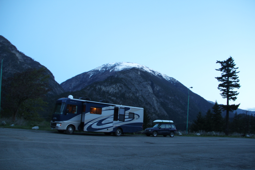
In the early dawn light (05:20), I did a bit of interpretive photography with the highway and lodge. Why do lodges close? Because people go roaring by without stopping.
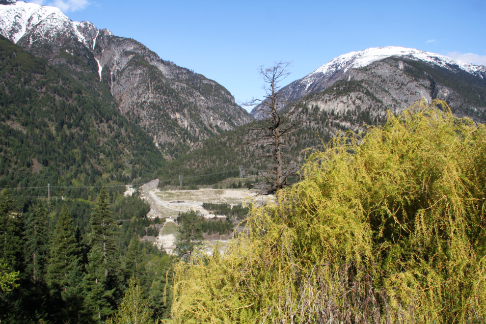
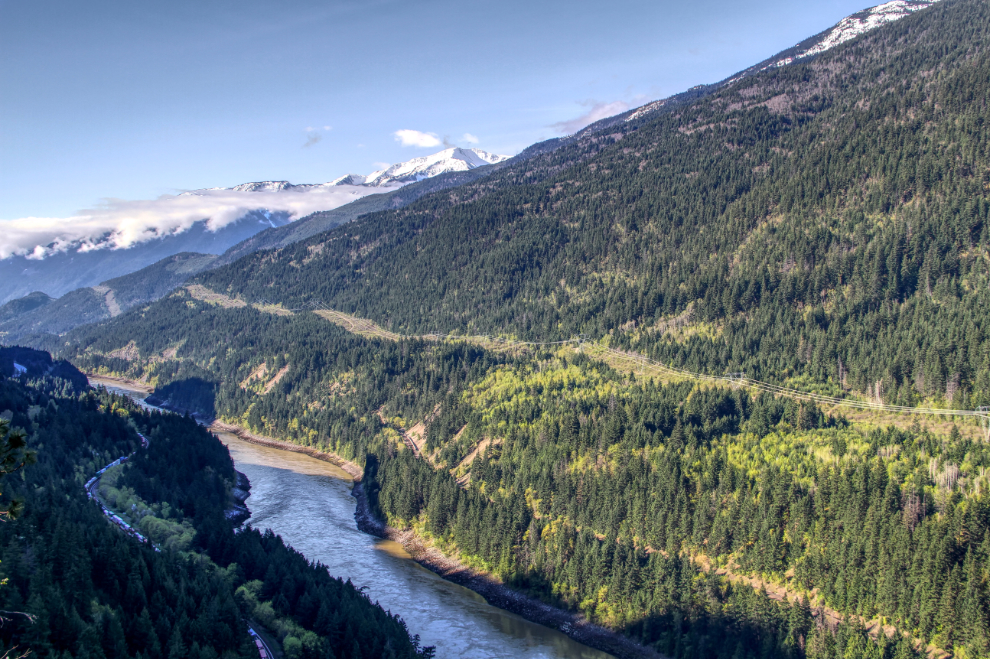
By 08:30, after a few walks and breakfast, the canyon was lit up beautiful and we were about to pull away. In the background of this photo, the Kwoiek Creek hydroelectric project, and to the right, one of the weeping willows that mark previous home and business sites all through the Fraser Canyon. It looked like a great day for exploring.
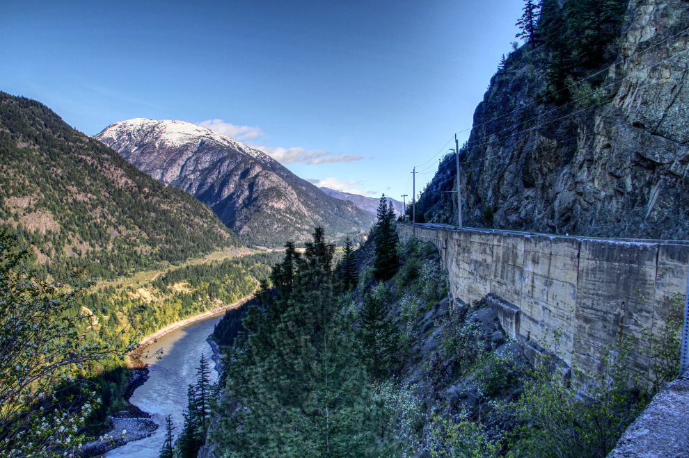
A few minutes later, I stopped at Jackass Summit and took a few photos. The first one below shows the view back to the north, the one below it the view to the south. These 2 photos were both processed as HDR images to bring detail out in the very dark shadows.
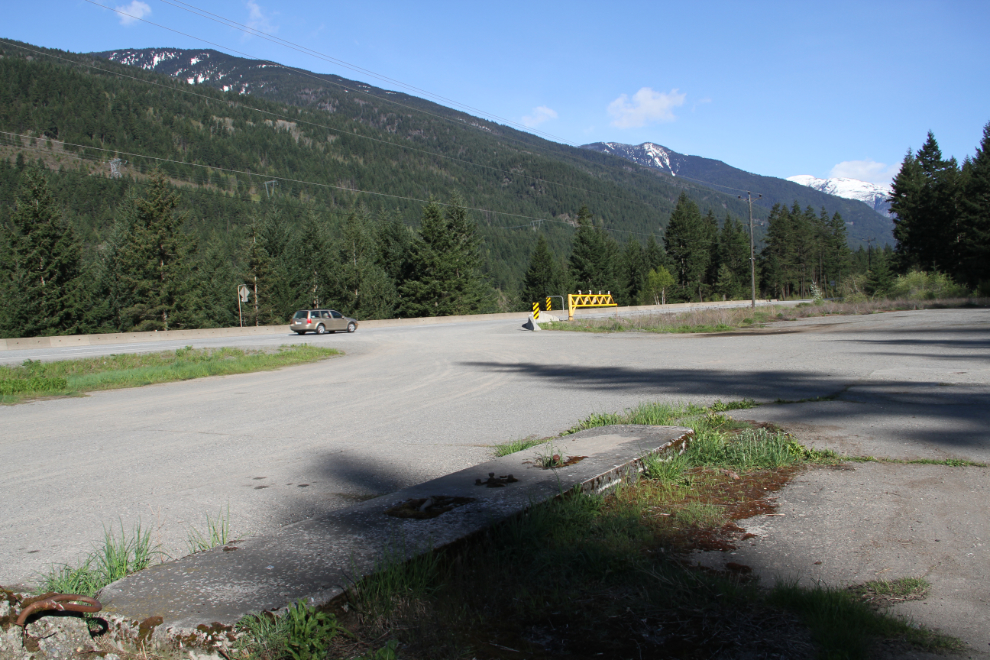
At the bottom of the Jackass Mountain climb, I was watching for the site of the Jackass Inn, a lodge which burned in the 1970s. What appears to be a gas pump island in the next photo makes this almost certainly the site. It’s now just a large gravel pullout.
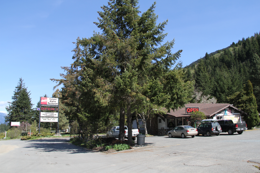
I had planned on stopping at Fat Jack’s for a big breakfast, but when I pulled in, I discovered that Tuesday is the one day of the week that they’re closed. I continued on another kilometer to Canyon Alpine, another place which was on my list to check out anyway. I remember it being built in the late 1960s.
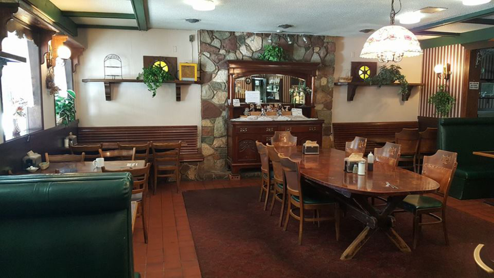
The decor of the Canyon Alpine was certainly charming, and I loved watching dozens of hummingbirds hovering around several feeders near the entrance door.
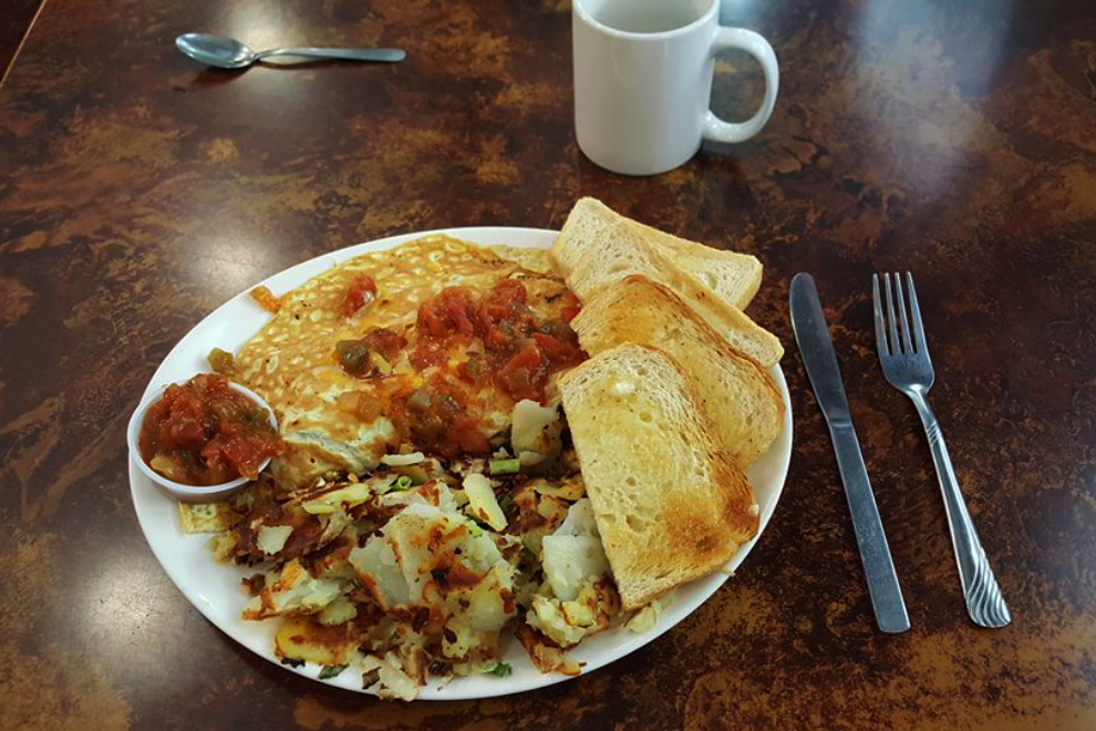
The Spanish omelette was excellent, so perhaps it was fortuitous that Fat Jack’s was closed.
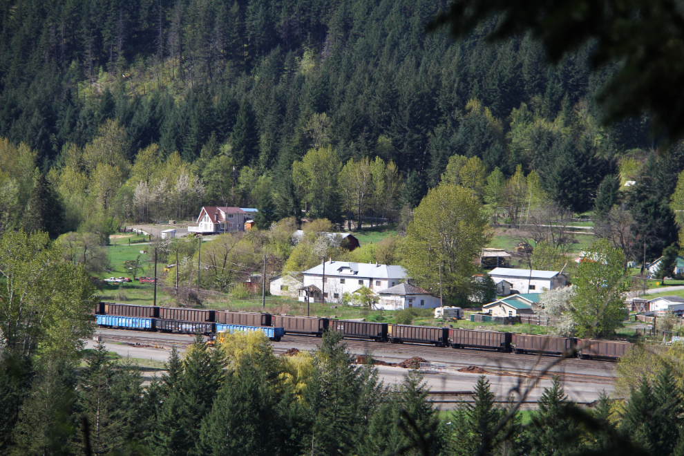
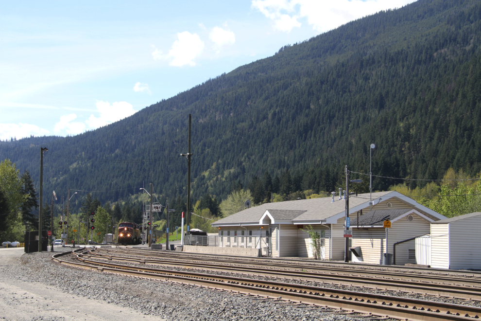
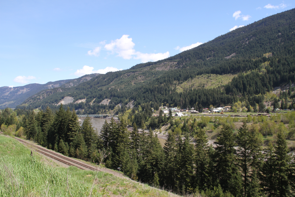
Boston Bar and North Bend were next on my list of places to explore. This is North Bend as seen from the highway.
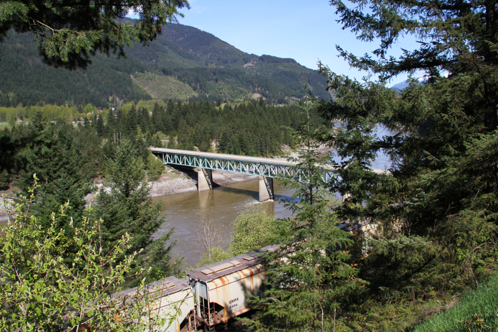
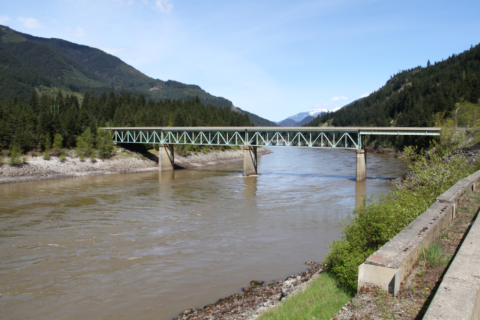
I certainly had to get a closer look at the bridge to North Bend.
I parked at a pullout just south of Boston Bar, and as I was unhooking the Tracker was dismayed to find that a weld on a repaired stabilizer bar on the towing system had snapped. Well, that would have to be dealt with as soon as possible. The next photo shows Boston Bar from the south. I asked at a repair shop, but was told that the closest place that could deal with my towing system was in Hope.
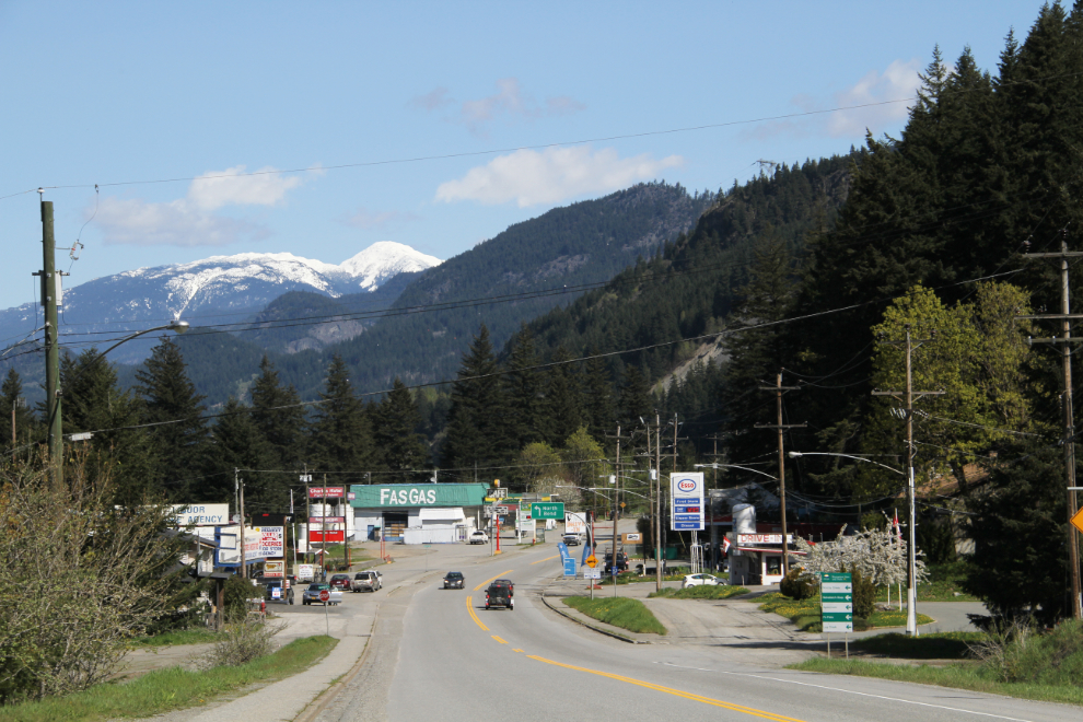
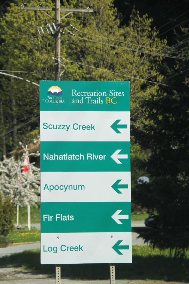
There is a lot for backcountry enthusiasts to see and do in the Boston Bar area. I was going to pick one to see.
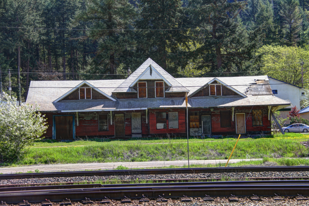
The train station at Boston Bar is sure in sad shape 🙁
North Bend turned out to be not very visitor friendly. A road with very sharp rocks and an unfriendly dog at its dead-end was all I saw of it. And a train 🙂
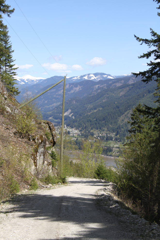
I drove a few kilometers up the Scuzzy Creek Forest Service Road. I got high above the Fraser River, but turned around when it started dropping into the Scuzzy Creek valley. The rattle of the broken towing attachment was making me nuts and I needed to deal with it. This is how the road looks going back down to North Bend.
Boston Bar from the west side of the Fraser River.
Mr. Tucker looked like he was enjoying this outing. Gravel roads always get him excited 🙂
Looking back at the North Bend bridge (the Cog Harrington Bridge) after crossing it.
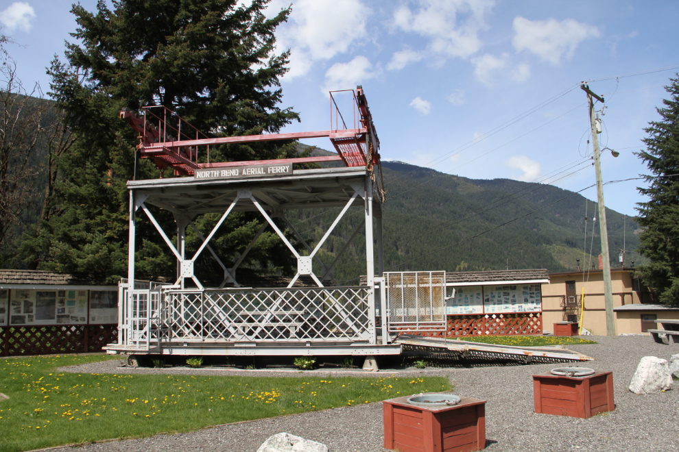
Before the bridge was built in 1986, this aerial ferry took cars and light trucks across the river.
Getting at the bolts that had been loosened off by the break was very awkward, but I got it done to the point that I knew I could safely get to Hope or even Victoria with it.
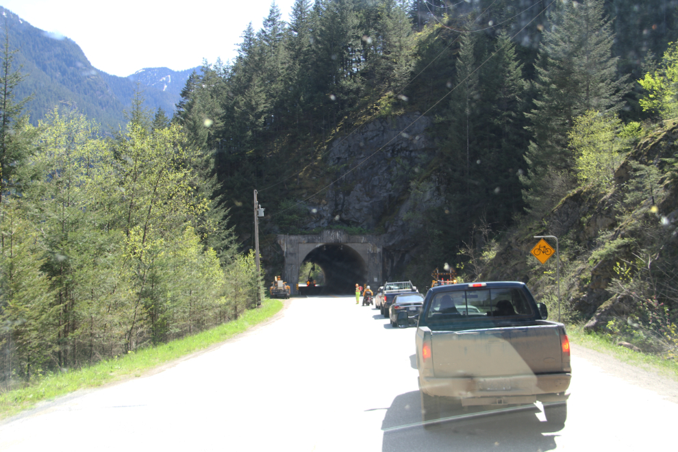
There were a few short delays coming down the Fraser Canyon due to work being done on some of the tunnels. In this one, they were just replacing overhead light bulbs.
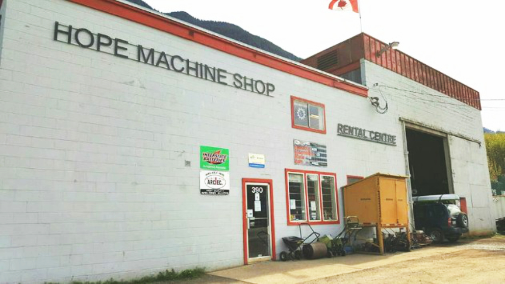
I unhooked the Tracker at a pullout just outside Hope, then stopped at the visitor information centre and got the names of a couple of shops who might be able to help me. The guys at Hope Machine Shop were awesome. They fit me into a busy day, welded/reinforced the break the way I asked them to, and would only take $20 for it. In every way, 10/10, folks.
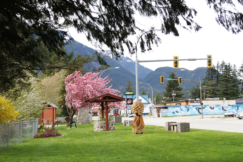
A friend who left Whitehorse in 1999 came to Hope to meet me and visit his sister and her husband, and the 4 of us met for an excellent dinner at a Korean restaurant. Before that, though, I took Bella and Tucker for a long walk at the Rotary park along the Fraser River.
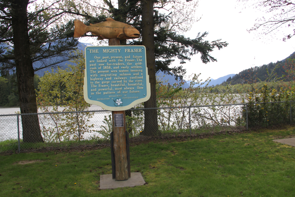
This Heritage BC Stop of Interest sign about the Fraser River says: “The Mighty Fraser. Our past, present, and future are linked with the Fraser. The past saw fur-traders, the gold-rush of 1858, and early settlers. The present sees waters teeming with migrating salmon and a highway and railways confined to the gorge carved by the river. The Fraser, beautiful, bountiful, and powerful, must always flow in the pattern of our future.”
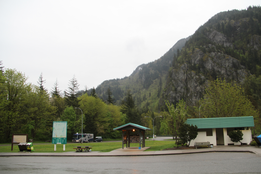
I thought about spending the night at the pullout I’d parked the rig at near Hope, but decided to continue on a bit further. The large rest area at Hunter Creek just south of Hope turned out to be perfect.
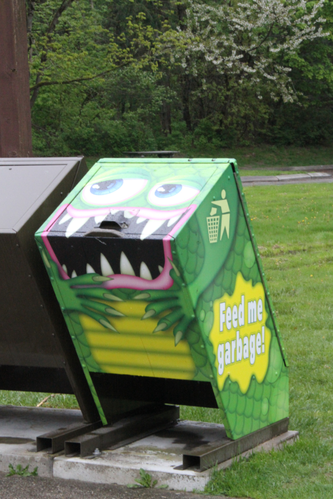
A couple of days ago I showed you a historic Garbage Gobbler at Ashcroft Manor. Here’s the new model Garbage Gobbler that I mentioned then.
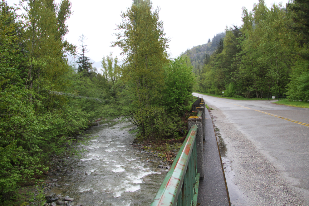
Here’s Hunter Creek, and the Trans-Canada Highway that I knew as a kid. This bridge was built in 1963, though, so there was a much older bridge there when we started driving that section of highway.
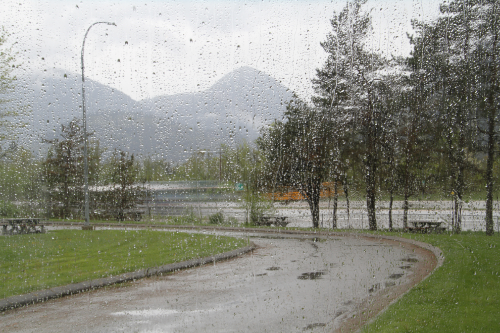
At 07:15 the next morning, this was our view from the motorhome. We were only going to drive a few miles, to Chilliwack, where I still had work to do on the rig, and hoped to be able to get together with friends from a few decades ago.
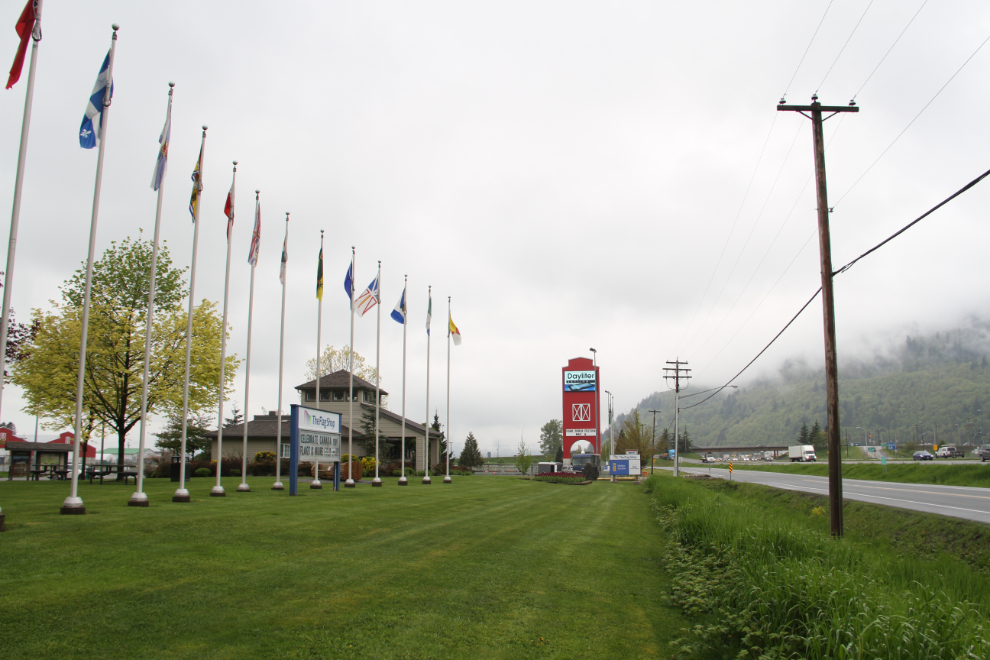
The Chilliwack Visitor Information Centre was my base for a few hours. I unhooked the Tracker, made the short drive to Home Depot where I bought a new kitchen faucet and a few other small items, then went back and installed it.
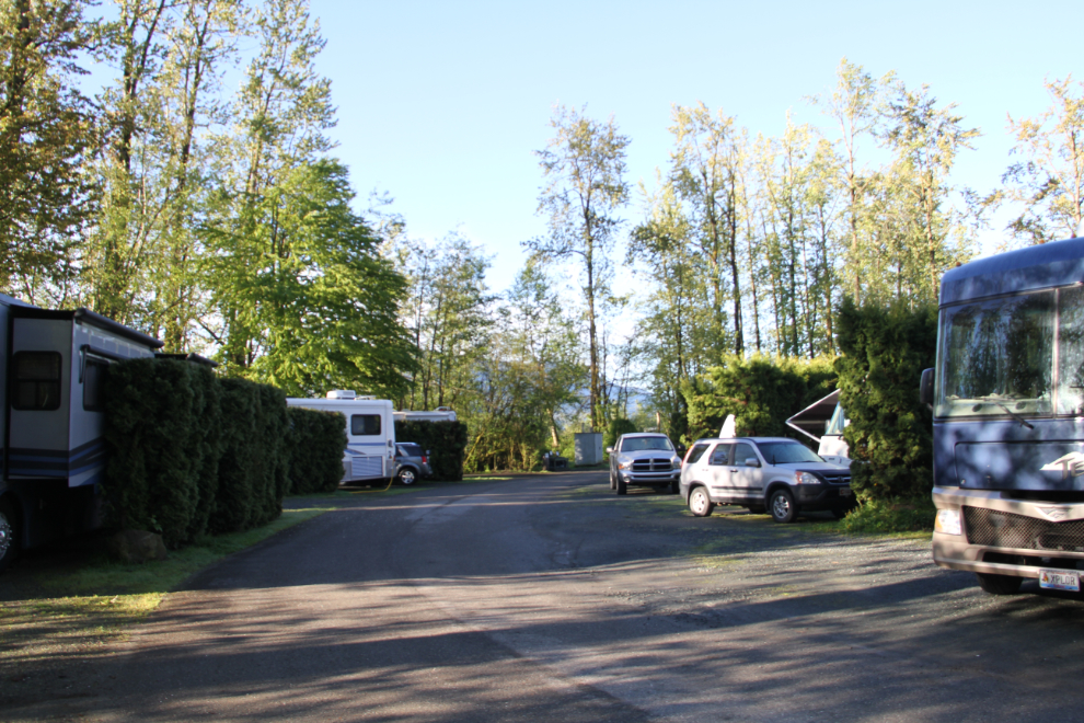
I ended up spending the night at an RV park with the pretentious and undeserved name “Cottonwood Meadows RV Country Club.” It’s fairly crowded, very noisy from the freeway, and has very basic facilities. The location is handy for many things but that’s all it has going for it for $42.
That was the last night of the first section of our adventure that didn’t involve Cathy. She’d fly into Vancouver to meet us the next morning, May 4th.