Driving the Alaska Highway in Winter – Whitehorse to Muncho Lake
I’m back on the road again, this time for about 17 days, doing basically a loop around what Destination British Columbia calls the Great Northern Circle Route, with some changes.
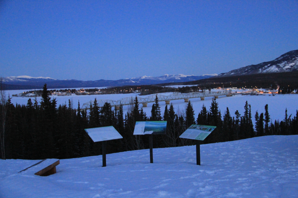
I left home on Monday just over 2 hours before sunrise, to catch dawn at Teslin.
Gorgeous light looking down on Teslin from the viewpoint.
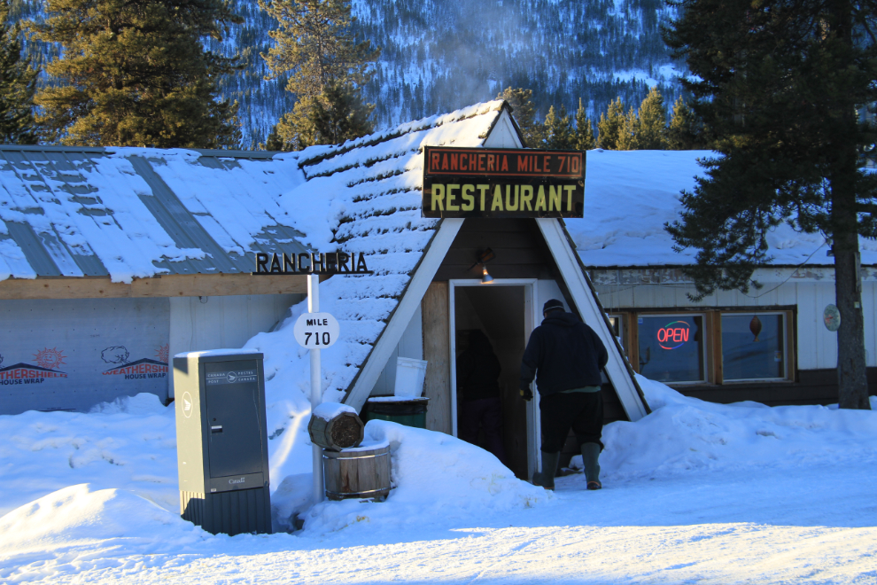
Reaching Rancheria Lodge at Km 1100 (Historic Mile 710) just before 10:00, I was ready for a big breakfast and a load of coffee.
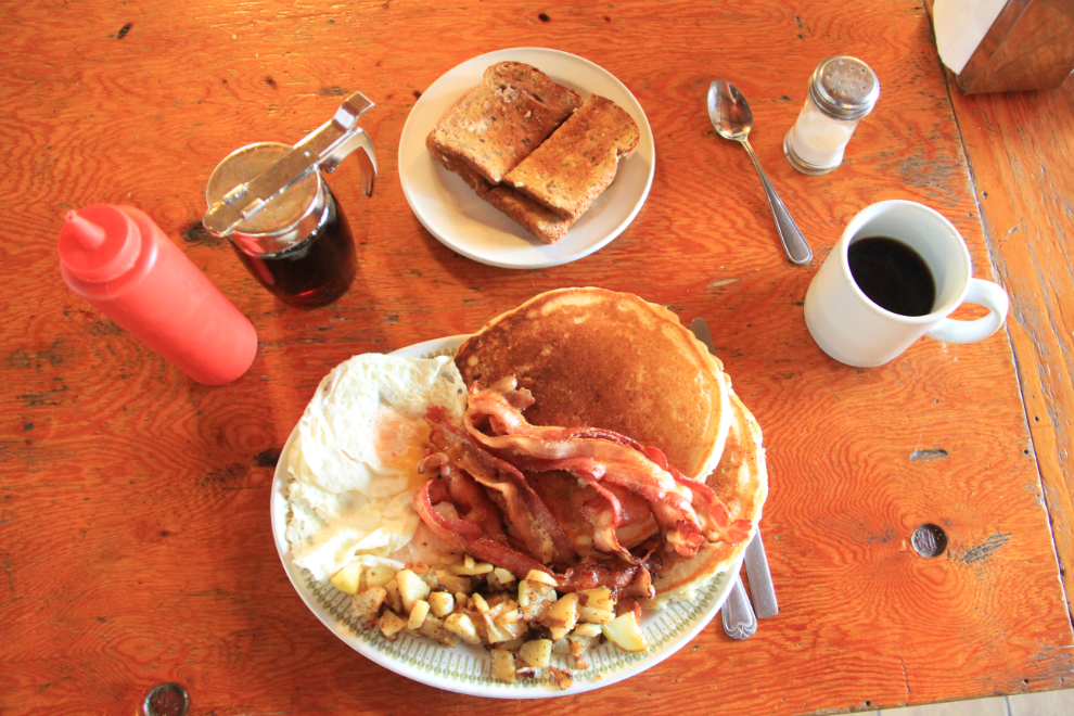
This is what their $14.95 Yukon Breakfast looks like – 2 pancakes, 3 eggs, 6 slices of bacon, and toast. The owner seemed surprised that a little guy like me could eat it all 🙂 Ready for the road again!
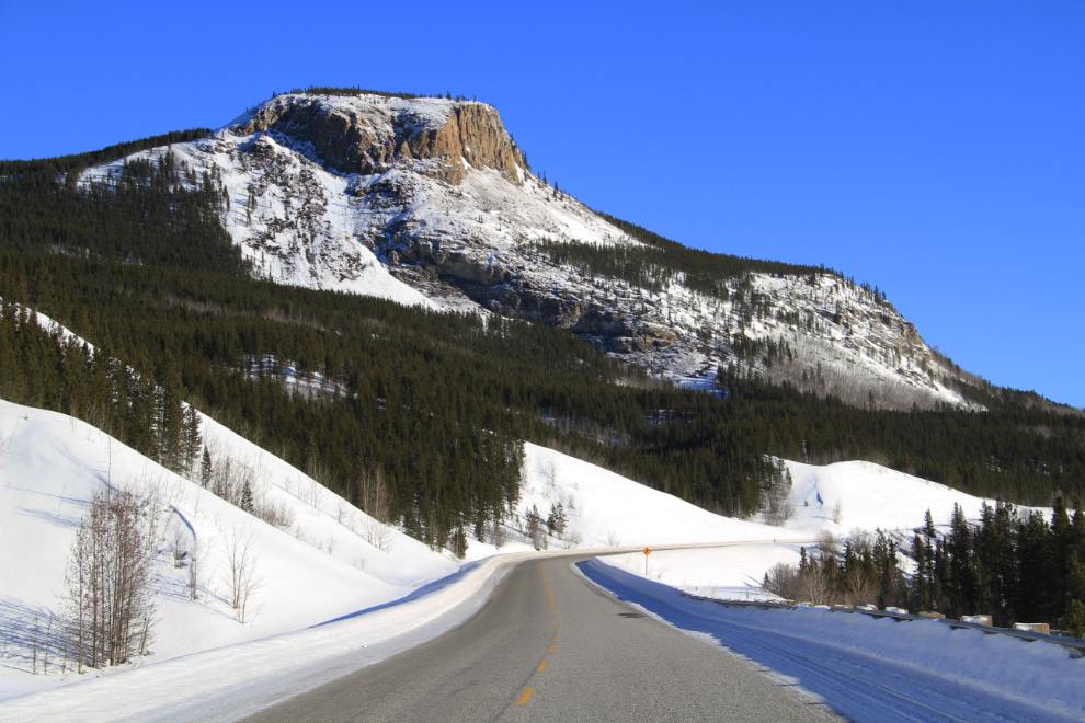
The view ahead at Km 1085.4, with that butte making it one of the more unique views along the Alaska Highway.
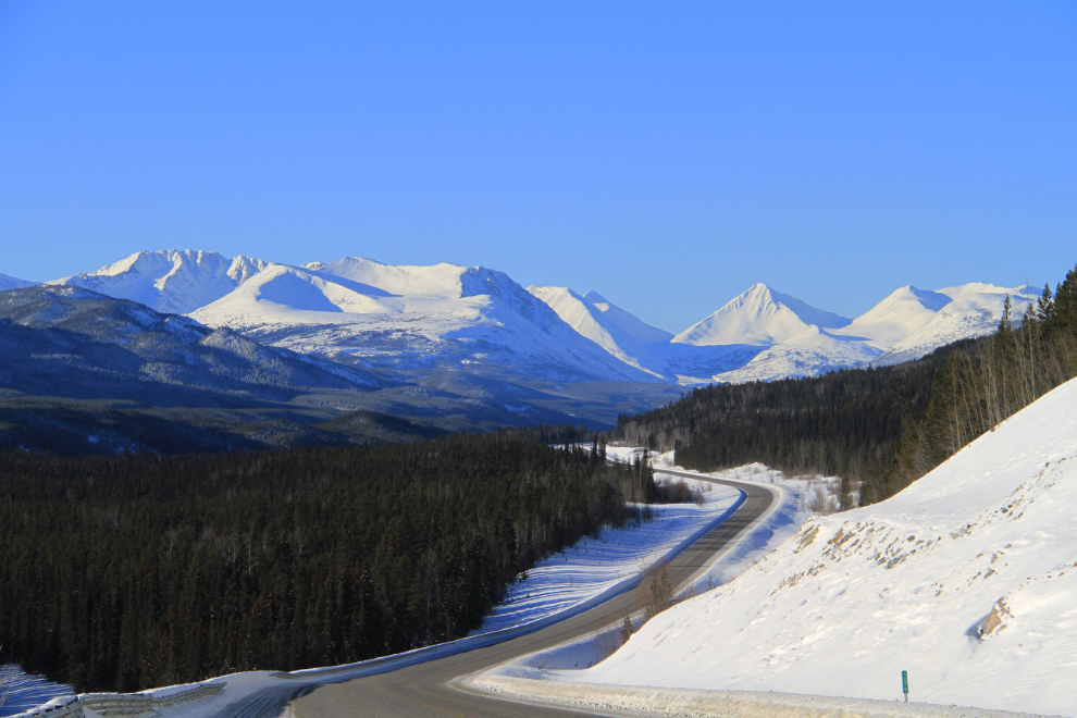
The view back to the northwest at Km 1077.8 – this is one of my regular photo stops regardless of which direction I’m driving, for obvious reasons.
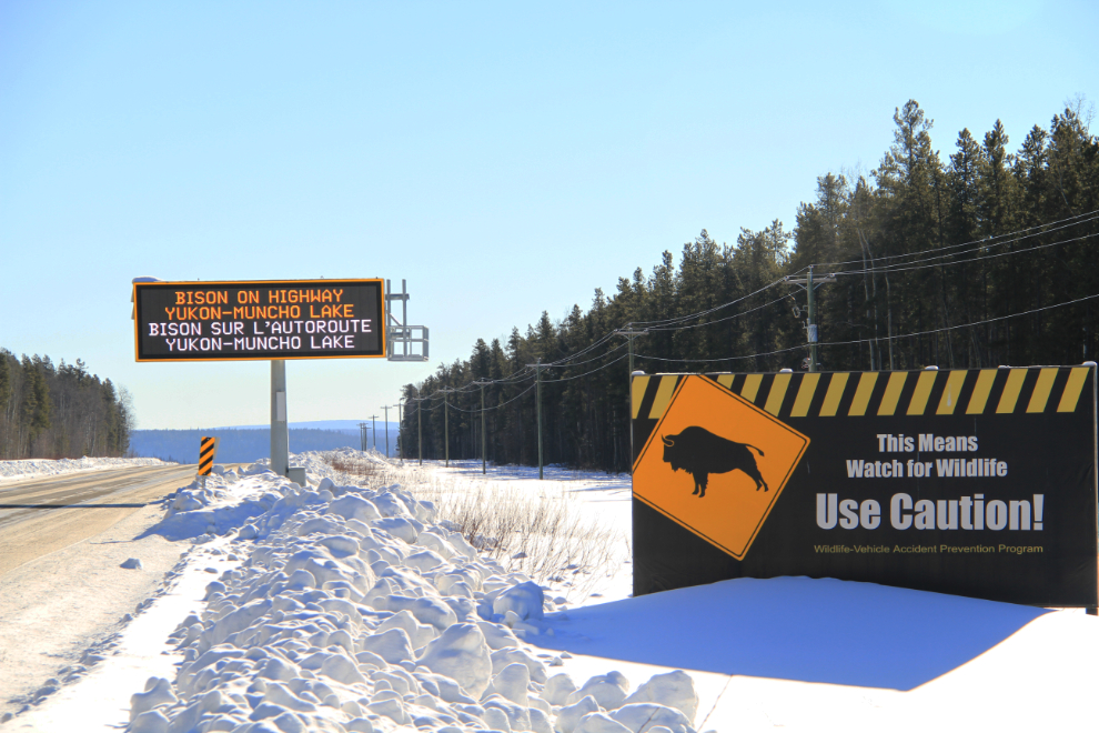
As you cross into British Columbia south of Watson Lake, the Department of Highways makes sure that you know what’s ahead!
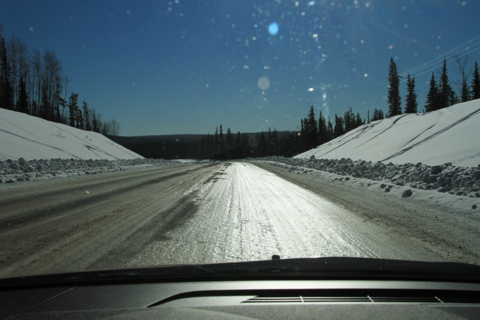
Ah, yes, glare ice. A couple of hundred kilometers of it.
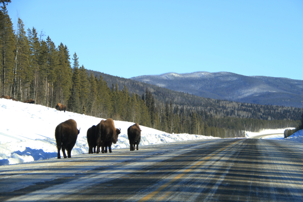
Seeing a track plowed alongside the highway mile after mile, all I could figure that it might be for was to encourage bison to stay off the highway, and soon I saw the first indication that that guess was correct.
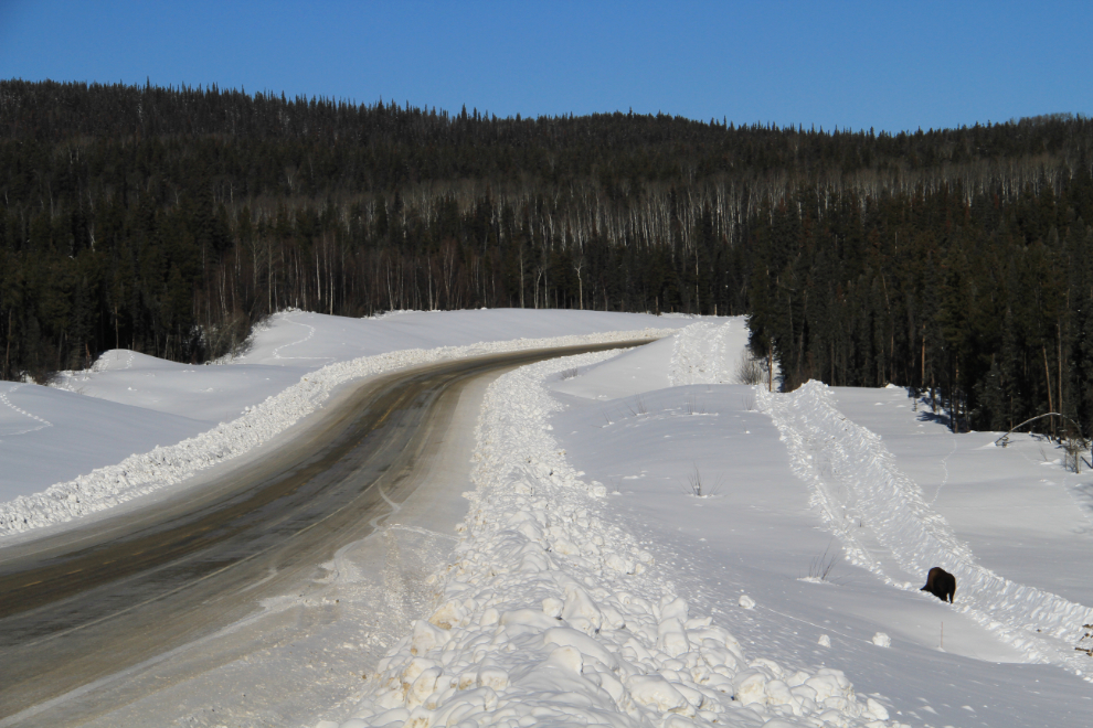
Soon, as always, the bison became more and more numerous.
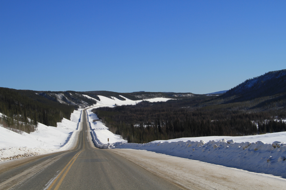
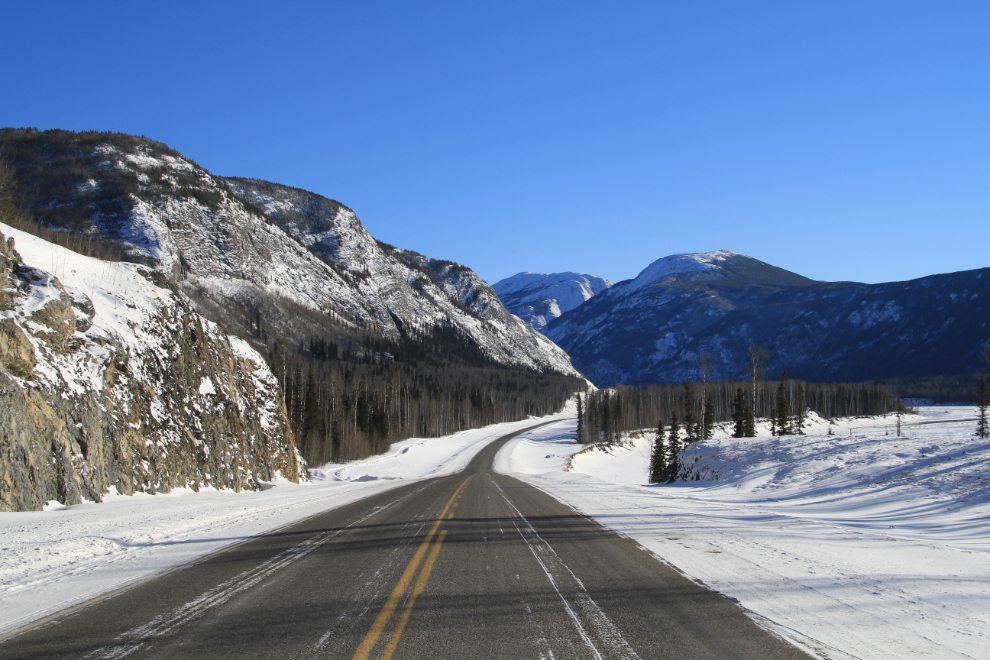
This section of highway (looking south at Km 855.4) is a new route build about 15 years ago – the very curvy old highway is a mile or so off to the right.
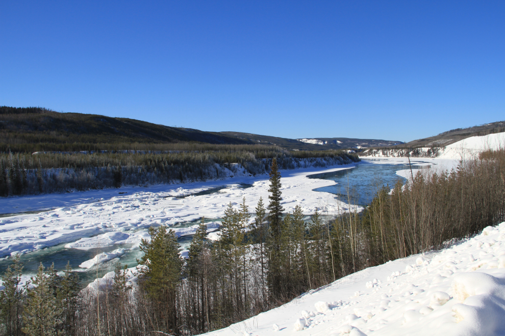
The Liard River at Cranberry Rapids.
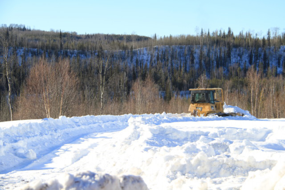
Here’s the bulldozer that was making all the bison trails.
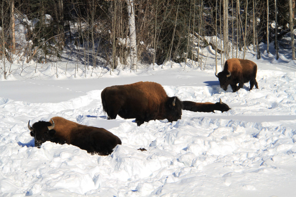
More bison near the Smith River Bridge.
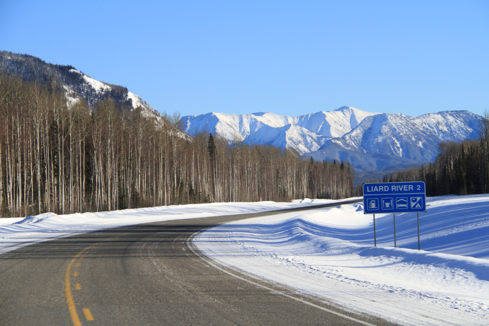
This distinctive view at Km 779, with the Liard River on the right, is always my sign that Liard Hot Springs is coming up soon (less than 14 km away).
Km 766.7
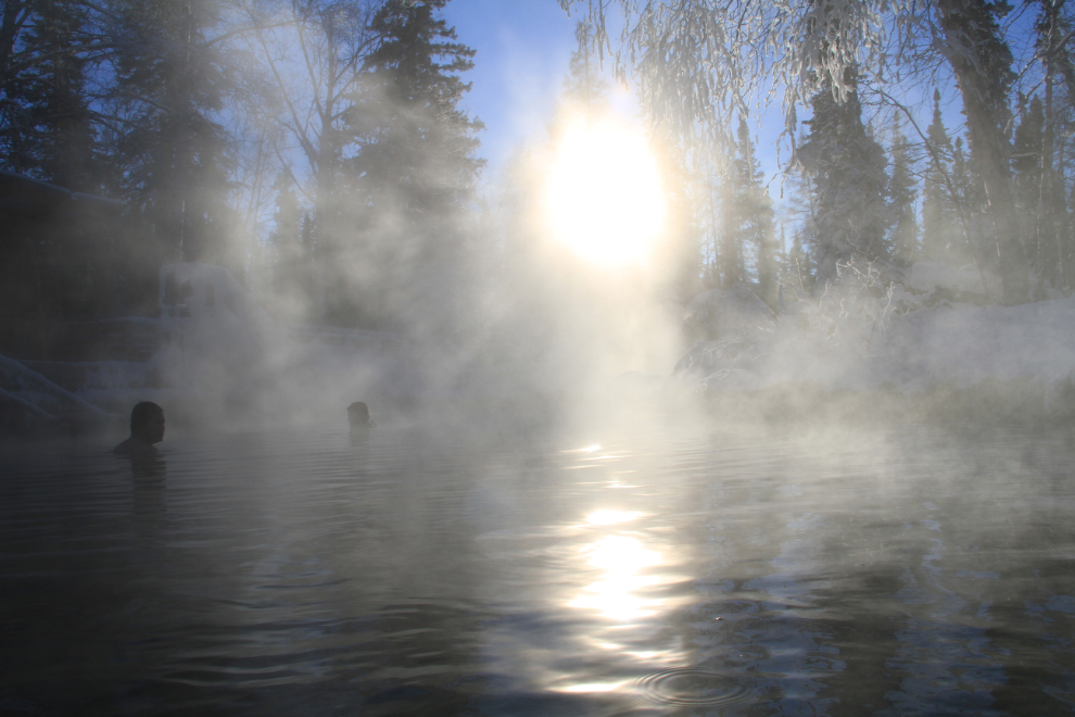
It was a gorgeous day to be soaking in the hot springs, with the temperature at -18°C (0°F) and only 6 other people there (4 of them Japanese men on a month-long drive around the North).
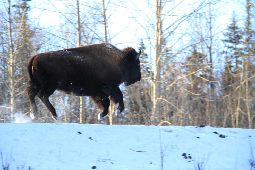
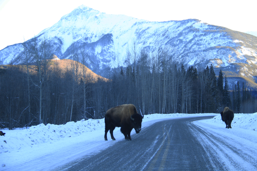
Just before the Liard River Bridge, I met a levitating bison!
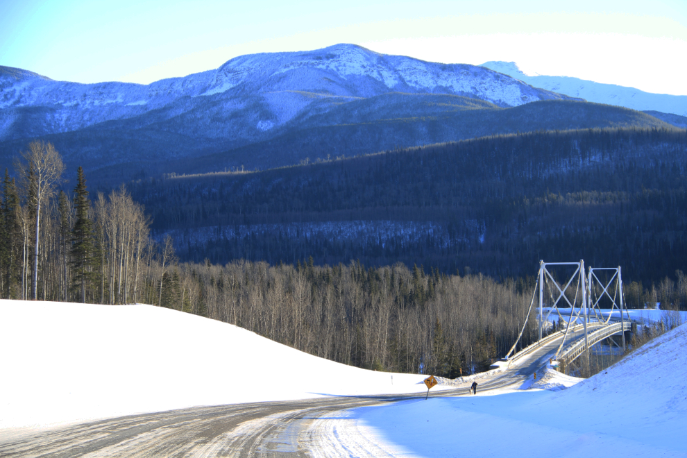
The Liard River Bridge, the last of the original suspension bridges on the highway. This was Historic Mile 493.
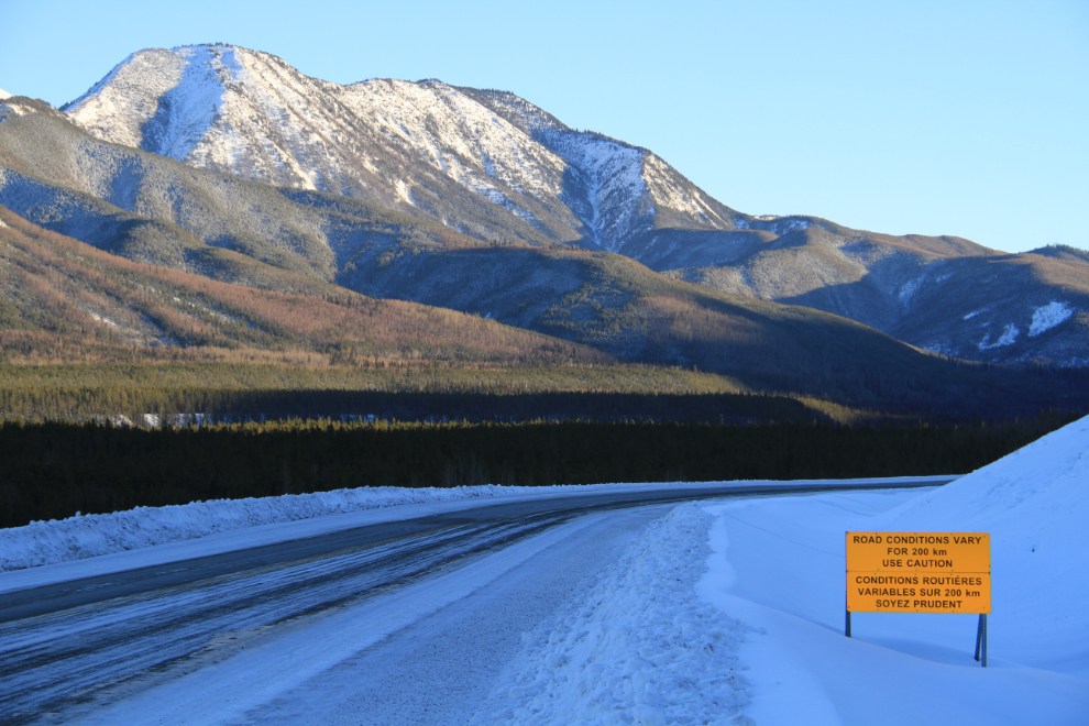
The sign says “Road conditions vary for 200 km, Use Caution”. I think that’s another way of saying “We’re tired of flagging all the bad spots, you’re on your own”. 🙂
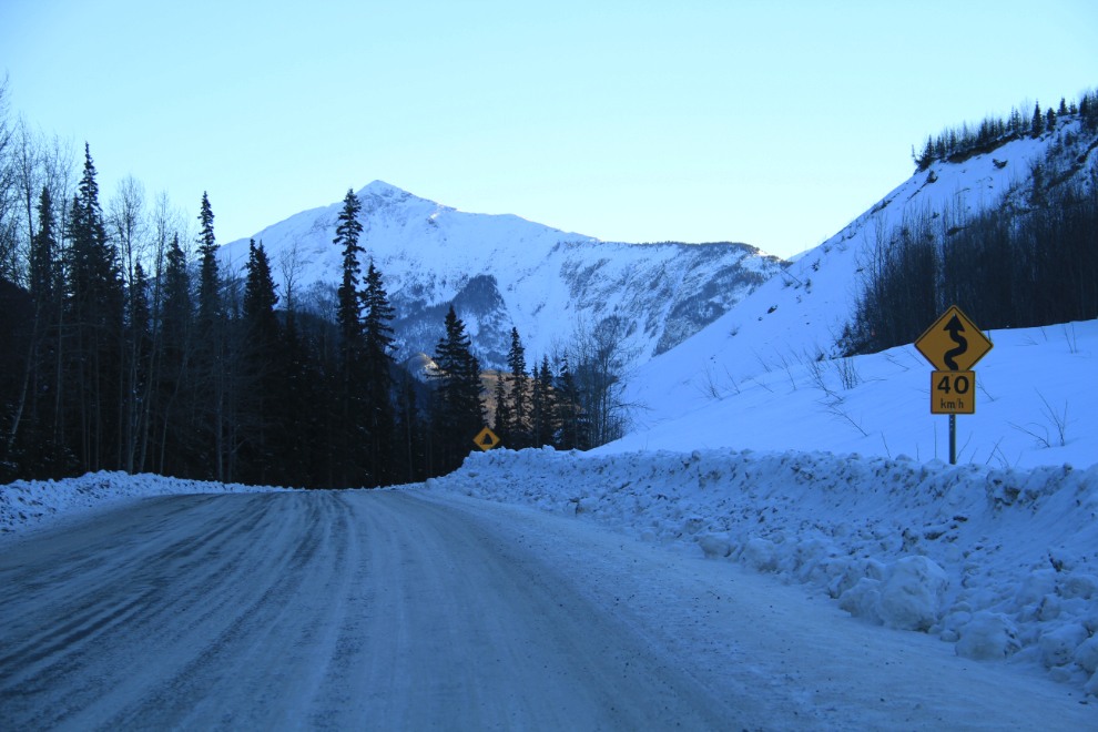
One of the last of the 40 kmh curves on the highway.
This guy on the left stopped me for a minute and then I inched ahead while trying to figure out if he was really going to let me by without a problem. He did 🙂
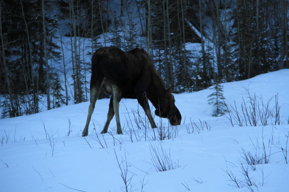
Nearing Muncho Lake I spotted the first moose I’d seen that day.
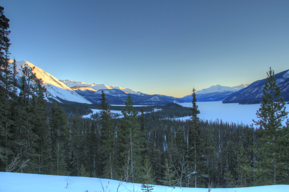
Muncho Lake, seen from the large viewpoint at Km 712.2, Historic Mile 463, a few minutes before the 6:10 pm sunset.
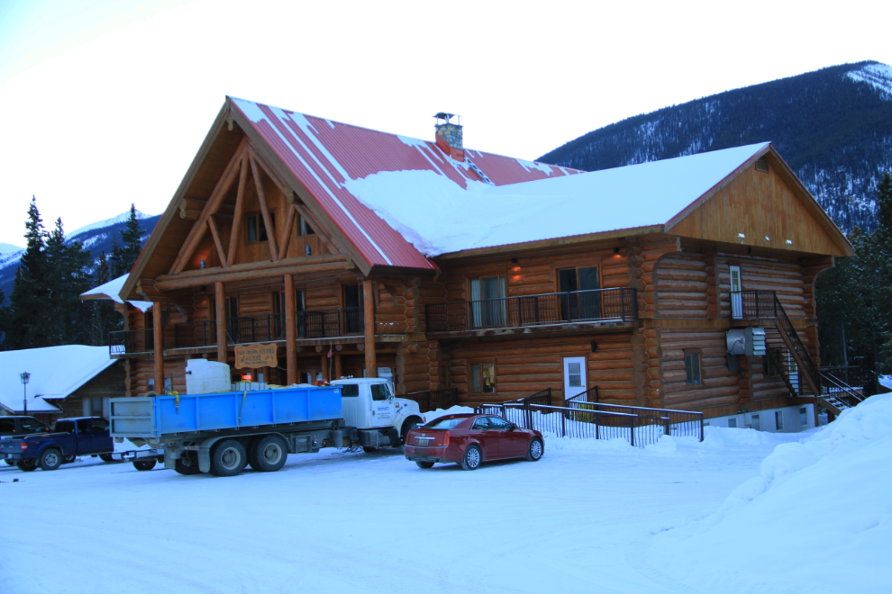
My stop for the night, Northern Rockies Lodge.
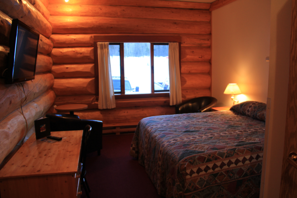
My ground-floor room.
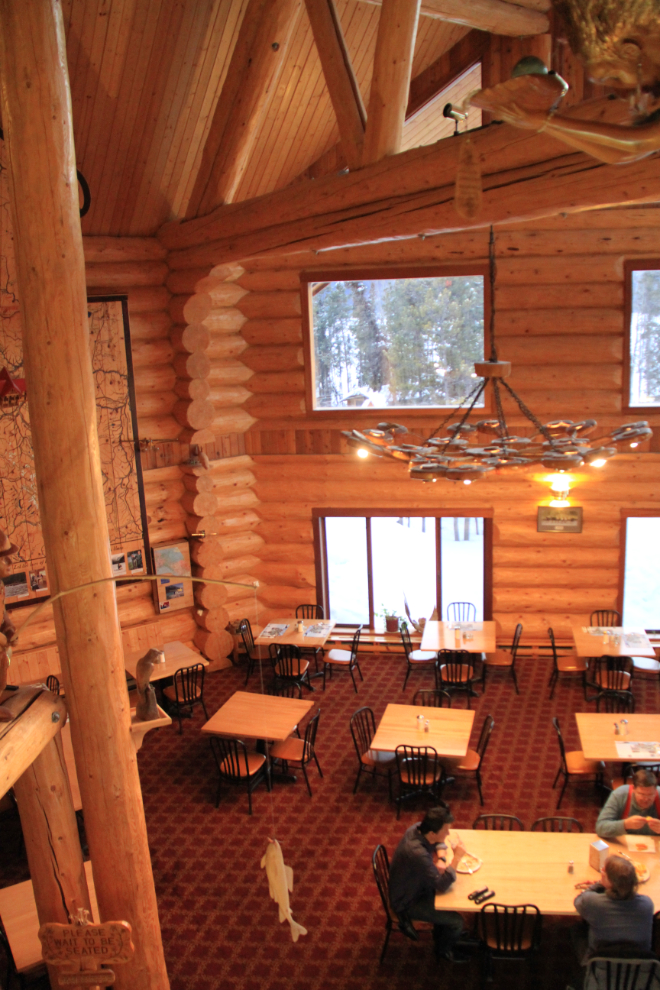
The very impressive dining room. I had their very good Signature Northern Rockies Schntizel ($24) accompanied by a couple of mugs of German beer and a magnificent view both inside and outside. After dinner, the lodge owner, Urs Schildknecht, joined me for an hour or so and we had a very interesting chat that centred around about tourism in the region, which I’ll be telling you more about in another post.
Tomorrow would be a late start while I waited for good light before continuing on to Dawson Creek.