Driving the Alaska Highway in Winter – Muncho Lake to Dawson Creek
Tuesday was planned as another easy day with lots of time to stop to explore and photograph. The total mileage would only be 702 km (436 miles) – the previous day’s total from Whitehorse was 686 km. It would be a late start from Northern Rockies Lodge, though, to get good light.
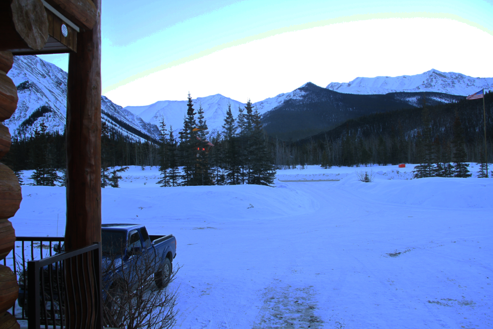
This was the view to the north from my room at 08:45. Although the sun had officially risen over half an hour before, the high mountains wouldn’t let the warming beams hit the valley floor for a long time yet.
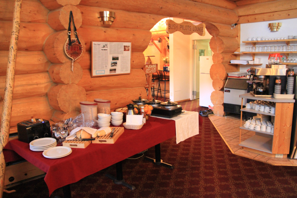
A small buffet was set up in a corner of the dining room, at a cost of $16.50 plus 0.83 tax. The highlight was definitely a loaf of homemade bread that made wonderful toast.
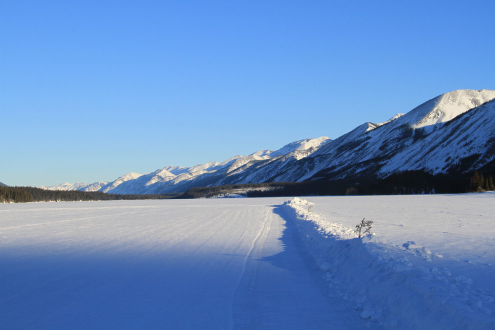
After breakfast, I took a walk out onto frozen Muncho Lake, for a few reasons. First, to get a shot of the lodge from this angle.

I also wanted to see the 2,200-foot-long runway that had been plowed out for several pilots who were flying in for the weekend. Although the temperature was only -15°C (+5°F), there was a strong northeast wind that made it very cold out on the lake.
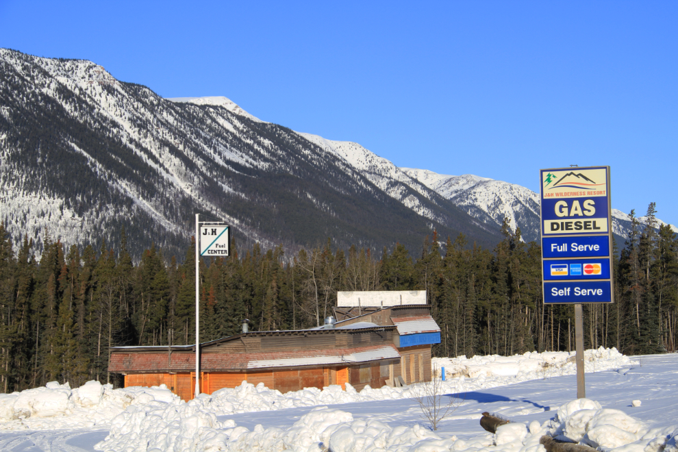
I had stopped to take a few photos of 2 closed lodges on Muncho Lake on the way south last night, but went back the 2 km to re-shoot them in good light. This one, J&H Wilderness Resort at Km 710, closed permanently 6-7 years ago.
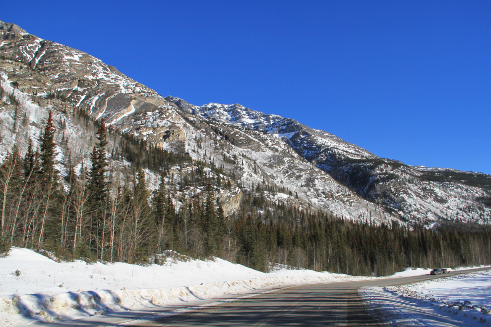
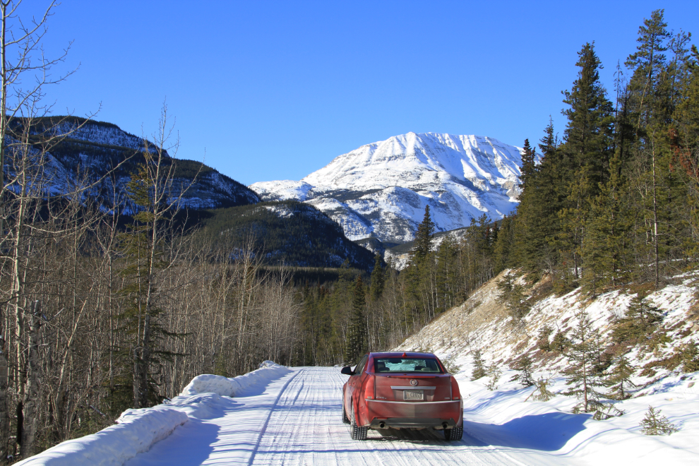
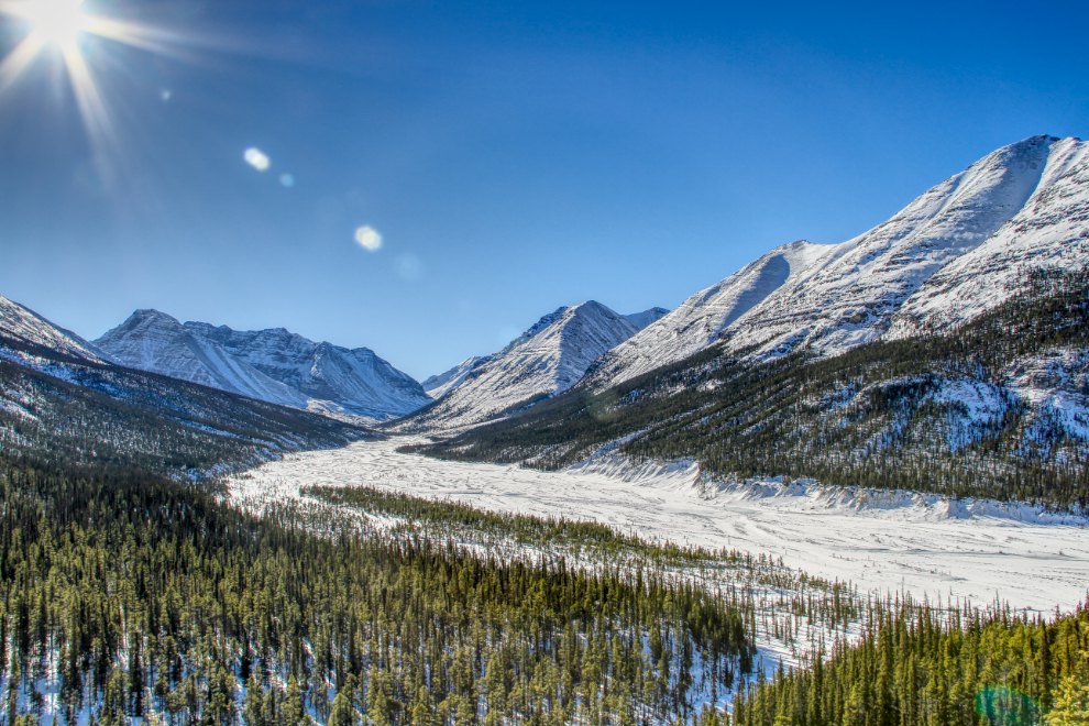
Looking north up the highway from near the head of Muncho Lake.
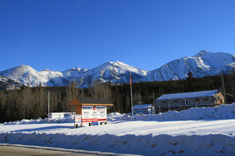
Gas at the Northern Rockies Lodge was $1.969 per liter, with 20 cents per liter off for lodge guests. I didn’t really need any fuel, and in any case like to spread my money around when I can so wanted to fuel up at another lodge. I drove by Double G at Km 698, than a couple of k down the road, decided to turn around and check them out, as I hadn’t stopped in for many years. When I saw that fuel there was $1.989, though, I decided to keep going to Toad River.
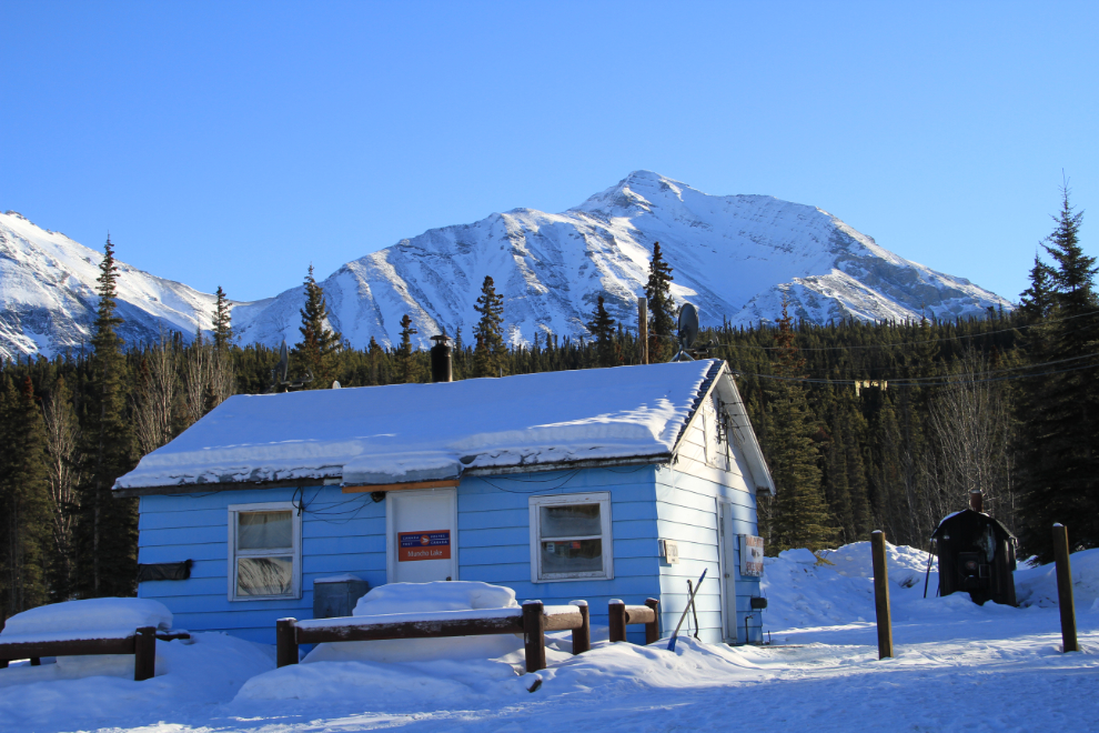
The original post office at Muncho Lake, beside Double G, is still operating.
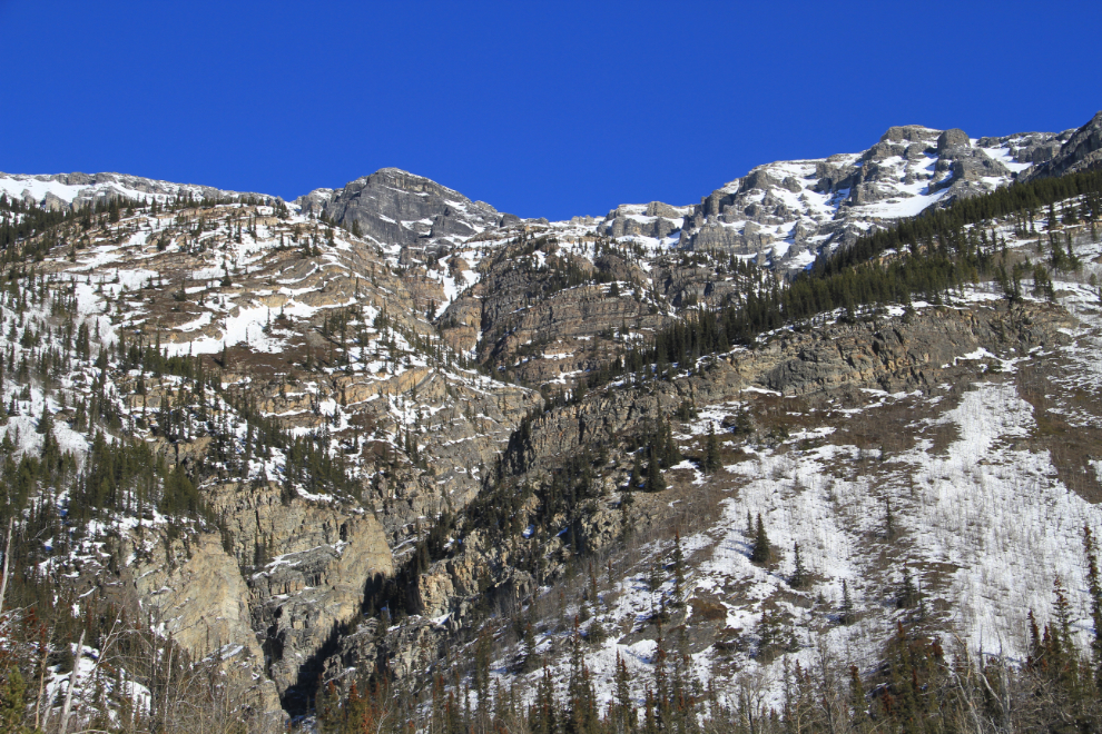
The view ahead at Km 675.8, at 11:30.
A closer look at the dramatic mountains in the photo above.
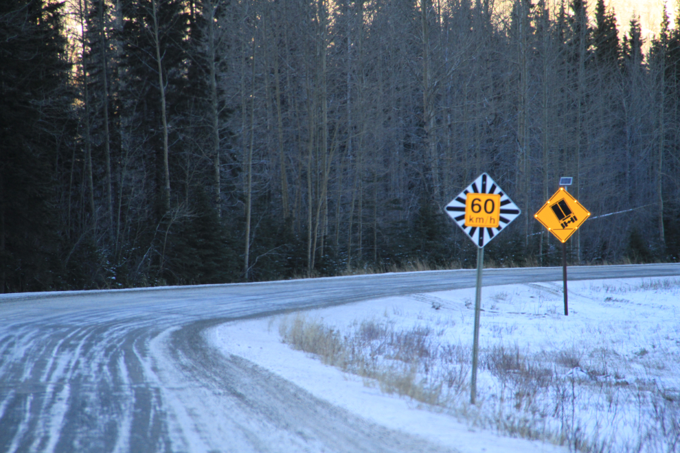
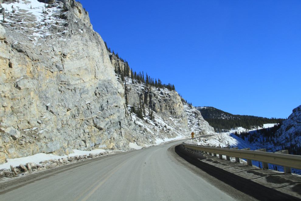
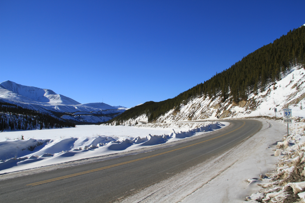
There are a few number of tight curves, and some of the truck-specific warning signs like this one have solar panels powering flashing lights around them.
This is another of the spots that stops me for a photo or two regardless of which direction I’m driving – this is along the Toad River, looking back towards Muncho Lake.
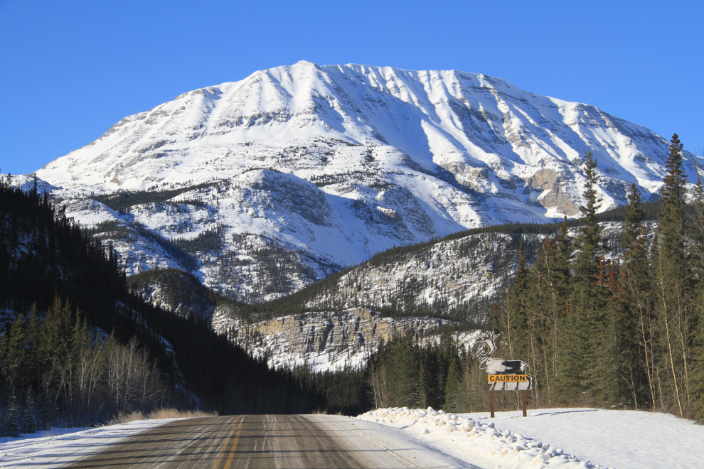
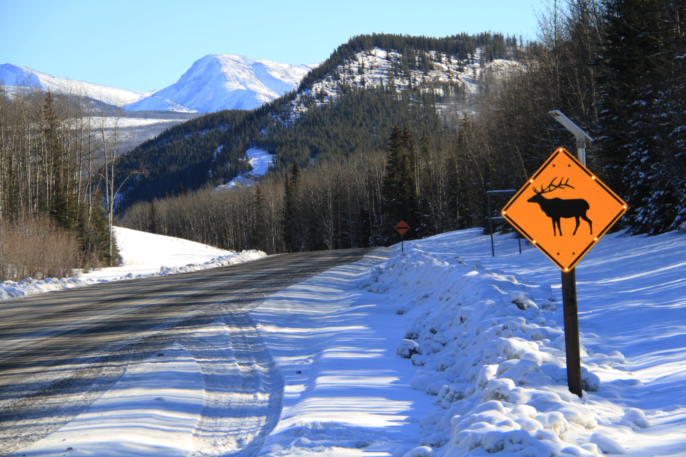
Looking back to the north again, from about Km 657, with a large caribou warning sign.
On the spur of the moment when I saw their sign, I wanted to see the Stone Mountain Safaris B&B, which is about 5 km off the highway. I got about a kilometer in, though, and decided that I knew little about it and shouldn’t just pop in for a look without talking to them first. It was a spectacular drive, though.
Although there are sometimes a lot of elk along the highway in the Toad River area, I didn’t see any today. This is another of the solar-panels-and-flashing-lights signs.
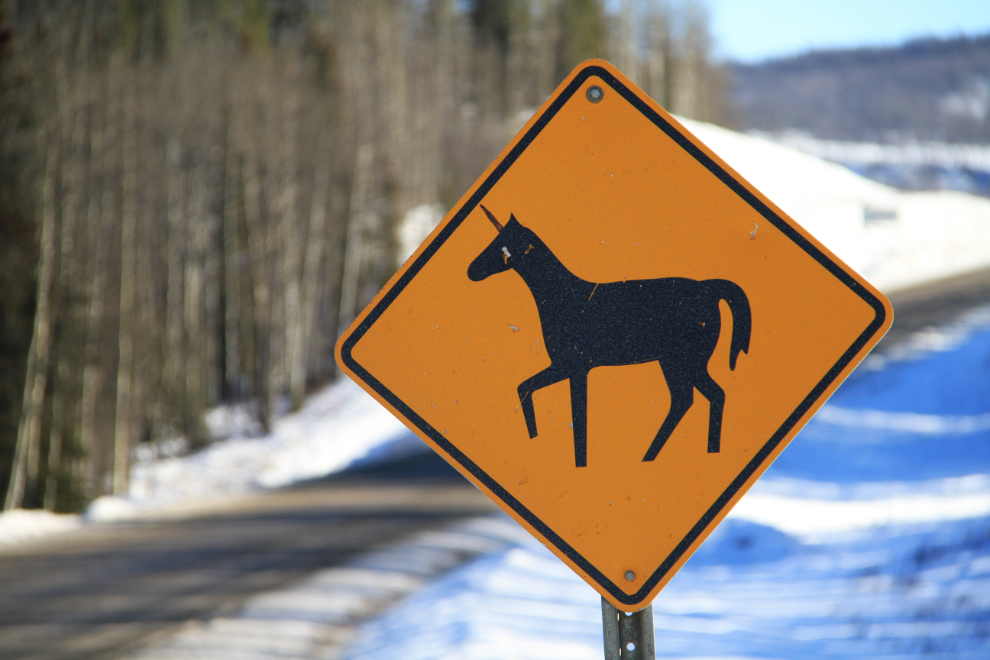
If I had any doubt that I was in BC, it was verified when I saw the first unicorn-crossing sign! 🙂
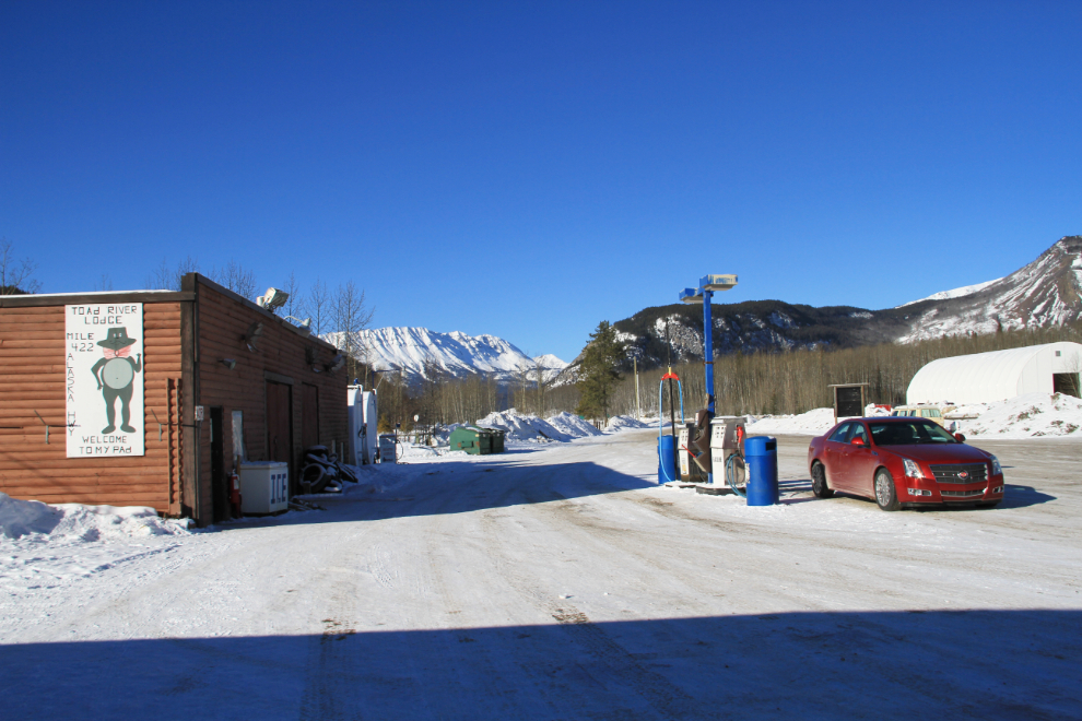
I fueled up at Toad River Lodge, Km 647 (Historic Mile 422), at $1.699 per liter.
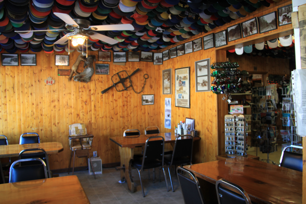
Every ceiling of every room in Toad River Lodge is full of hats.
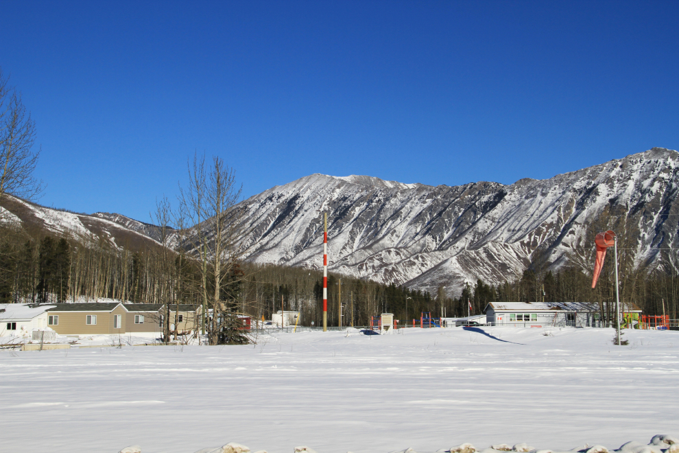
There’s a community of Toad River as well – that’s the school on the right, on the opposite side of a 3,000-foot gravel runway.
Crossing the Racing River at Km 641, at 12:43 pm.
The view back to the north at Km 629.2, just north of the MacDonald River bridge.
The MacDonald River valley proved to be a good subject for an HDR image.
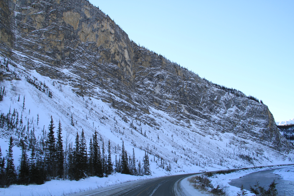
The steep climb out of the MacDonald River valley uses this limestone gorge as the route, at about Km 603.
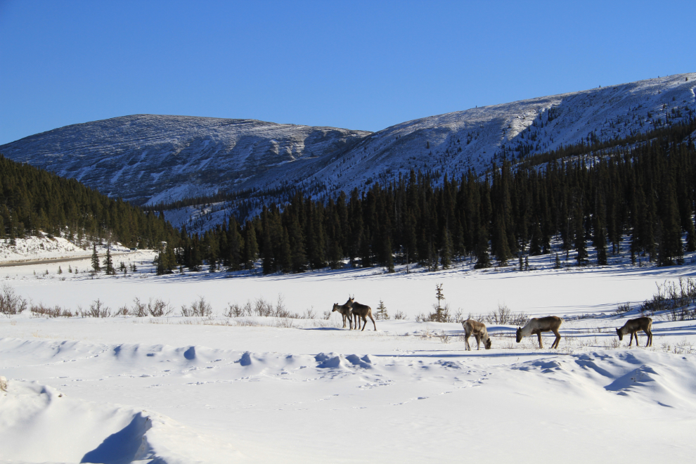
Caribou beside the highway at little Rocky Crest Lake, Km 601.3.
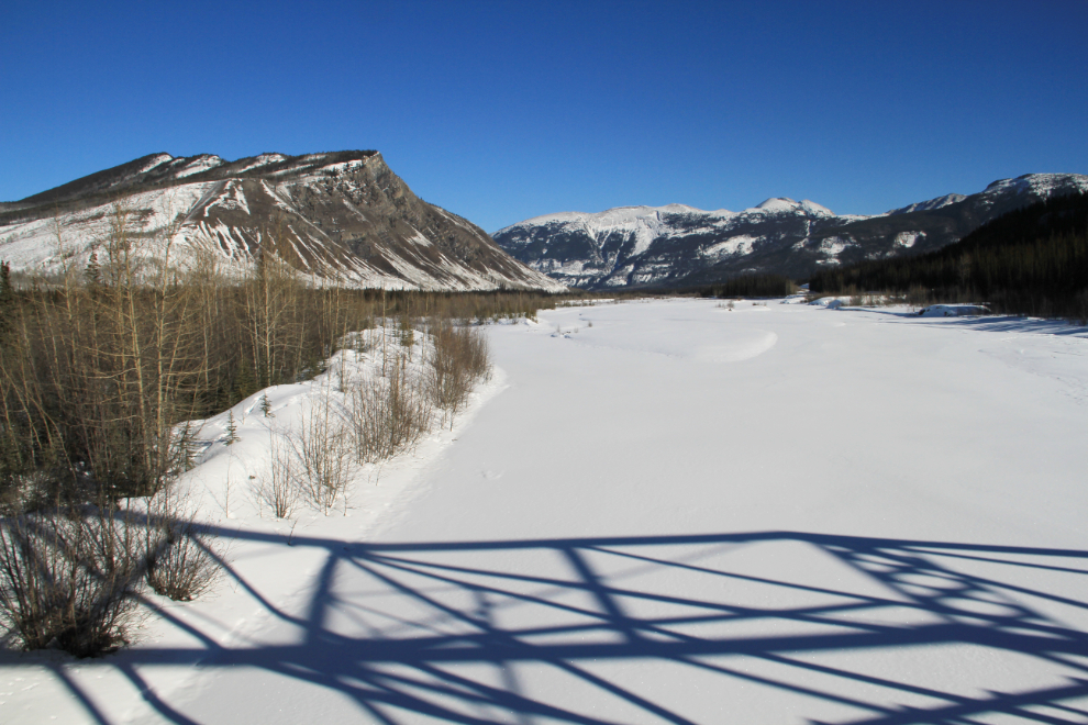
Summit Lake at Km 598 – though closed in the winter, there’s a lovely Provincial Campground at the far end of the lake.
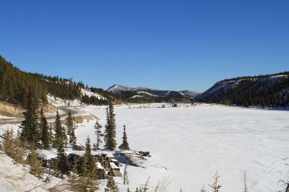
At the head of the lake across from the campground is the Summit Pass, Historic Mile 392 signpost as well as an interpretive sign. This is the highest point on the Alaska Highway, at 1,295 meters elevation (4,250 feet).
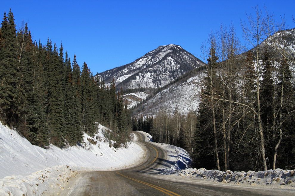
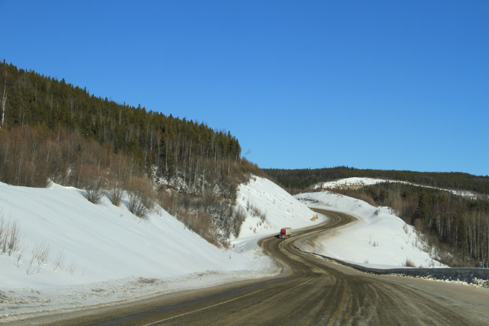
The view ahead at Km 541, climbing up Steamboat Mountain. The old road here was legendary (I certainly remember it well – but not fondly!) but a new one was built in about 1995.
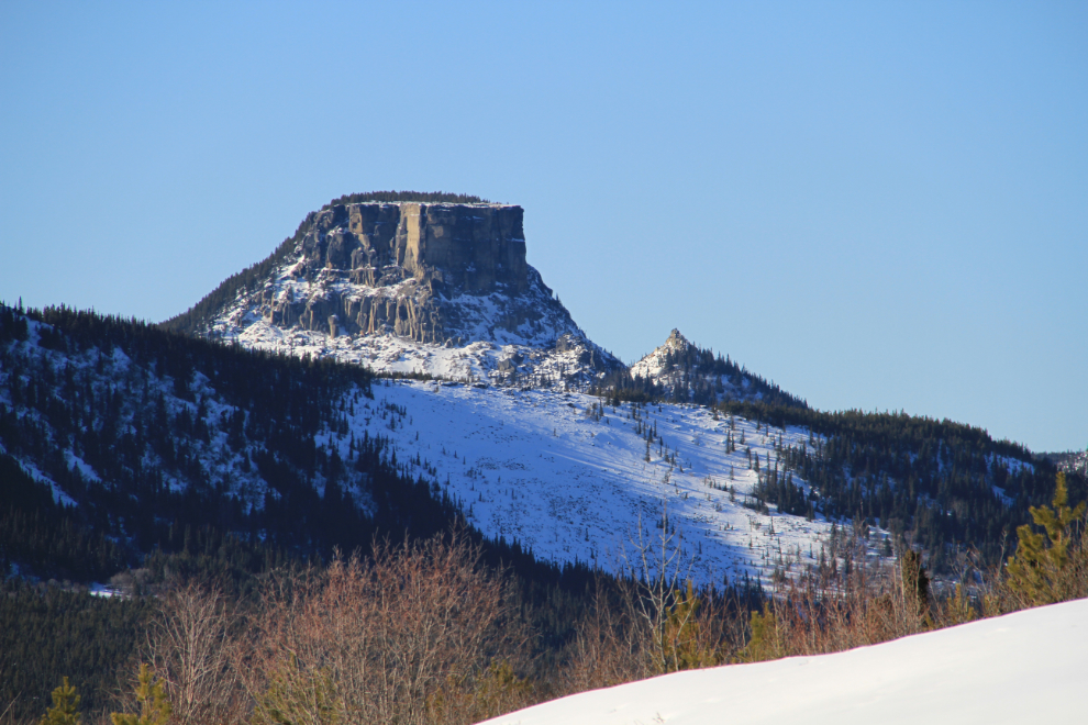
From Steamboat Summit there are both broad views and some interesting close looks like this one. A few miles back, a rather similar peak sports a famous profile that gives it the name Indian Head Mountain.
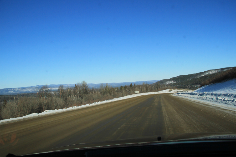
Dropping down the other side of Steamboat towards Fort Nelson, the view is very different, with high mountains out of sight for a while.
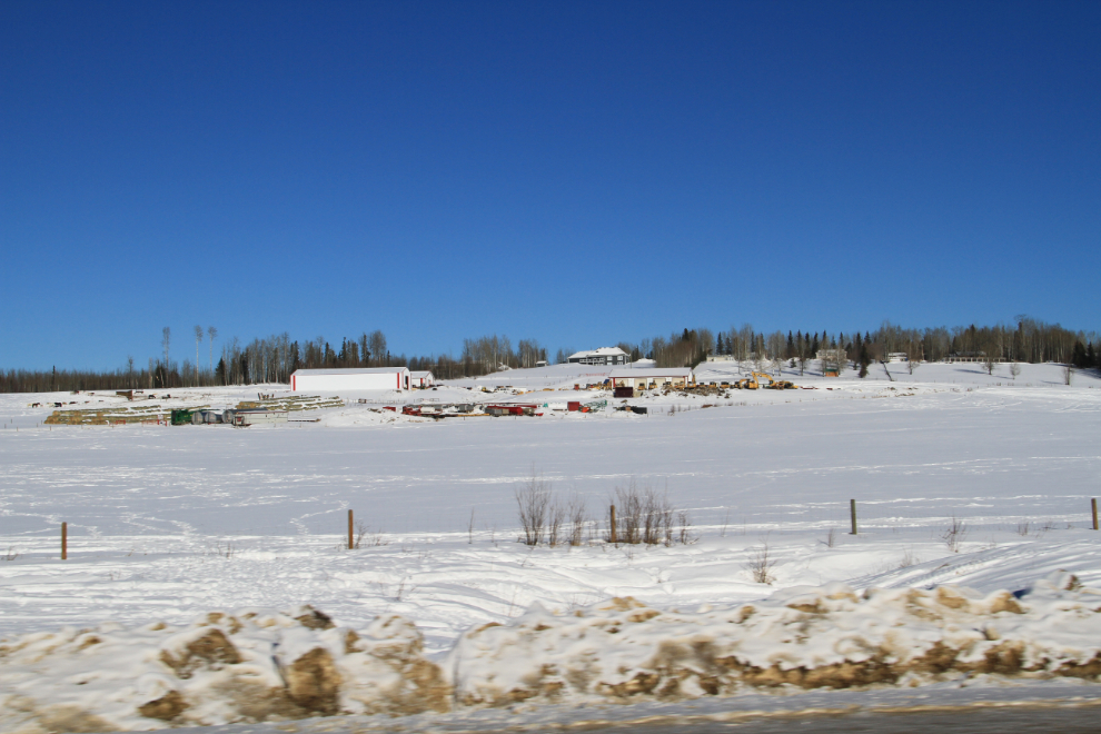
The oil and gas industry gets very visible from Fort Nelson on. The owner of 400-odd acres beside the highway at the edge of community used to run cattle and bison, but now has a lot of oil and construction equipment around the house and the property is for sale. It’s rather sad to have watched the farm develop over the past couple of decades, and now see it mothballed.
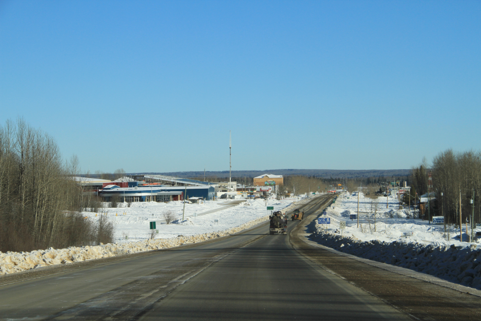
Entering the commercial heart of Fort Nelson, Historic Mile 300, with the Visitor Centre (which was open) on the left, and the very good museum (which was closed) on the right.
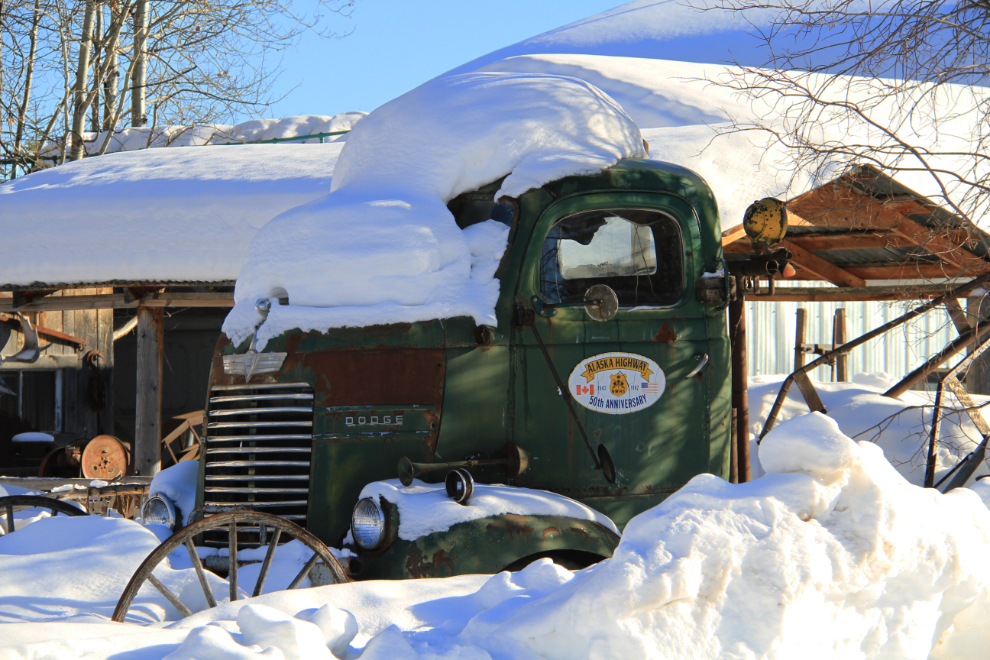
I turned in to the museum lot for a short look at some of the equipment scattered around the property.
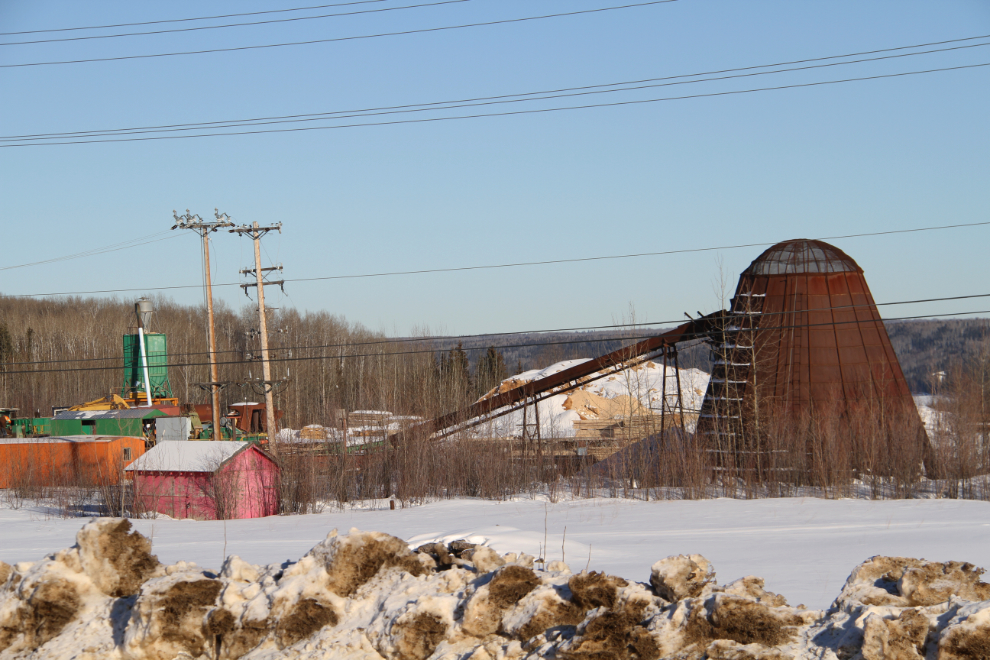
One of the last of the “beehive burners” in British Columbia is at a mill on the eastern edge of Fort Nelson. They were used to burn scrap wood, and the amount of smoke coming from them some days when I was a kid was very impressive. Some are still in use, but with “scrubbers” of various types that virtually eliminate the smoke – I believe this is one of them.
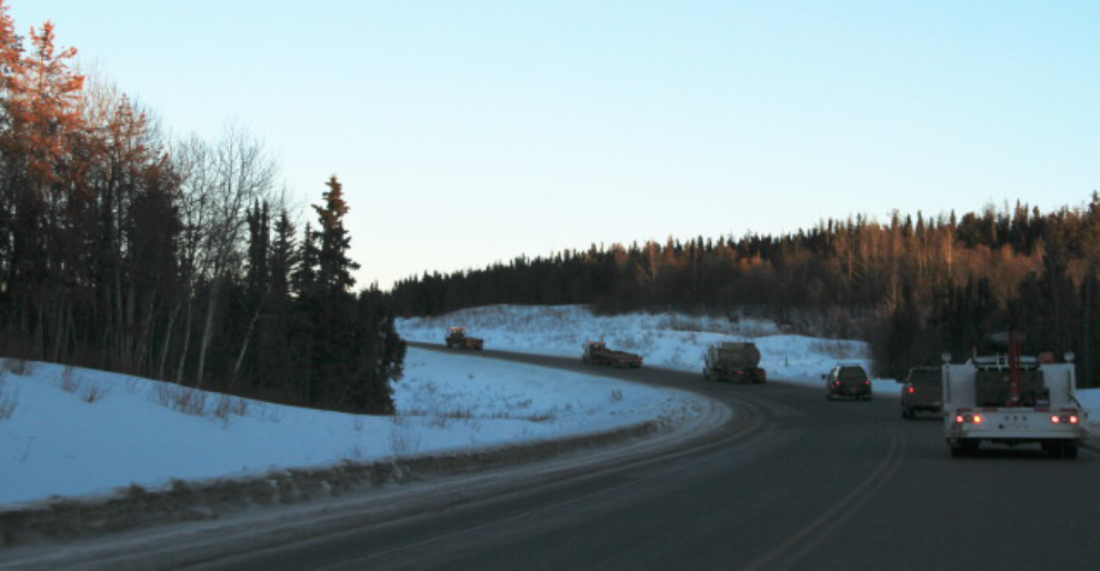
There is a great deal of oversize oilfield equipment on the highway south of Fort Nelson, and it gets more and more numerous as you get closer to Fort St. John.
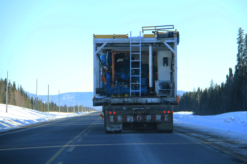
Traffic gets very stressful for a country boy like me, with pickups trying to do 150 kmh taking stupid risks to get around lines like this backed up behind trucks that slow down to 30 kmh on some hills. Double solid lines mean nothing to some of these drivers – if I thought that anyone would care I would have reported a service truck from the Volvo equipment dealer in Fort St. John.
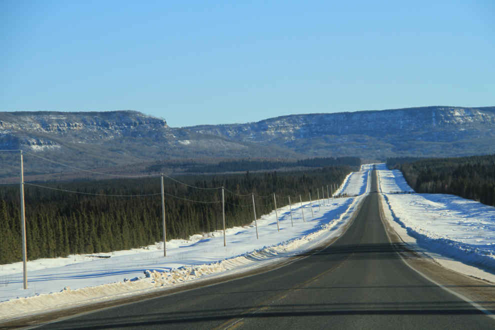
It wasn’t all bad, though – there were still some beautiful open stretIt wasn’t all bad, though – there were still some beautiful open stretches of highway like this one near Bucking Horse River.
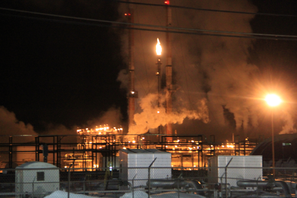
By 8:30 pm I was passing the gas plant at Taylor, and could relax again – back in relatively calm, largely agricultural country for a while!
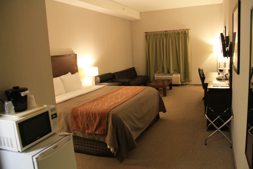
By 9:15 I was in my large, room at the Comfort Inn in Dawson Creek. It offers good value (for this region) at $119 plus $15.47 taxes per night, including breakfast. My only complaint was the extremely slow Internet. Other than that, it’s a very nice property.
I joked on Facebook that night that I had told one of my Friends that I’d take lots of food photos on this trip, but I could’t get the lighting to work on tonight’s dinner – Humpty Dumpty Party Mix and a Cariboo Honey Lager beer – even though the bag and can have complementary colours 🙂
Tomorrow, I’d spend the day with Dawson Creek Tourism staff, touring the community.