Driving old Route 66 to Oatman, Arizona
On November 18th, I posted on Facebook: “I expect that yesterday’s Route 66 afternoon will be the highlight of the trip. An excellent museum, mind-boggling scenery, and a quirky and charming little village in the middle of nowhere.” As it turned out we had another day that equalled it, but this fairly short drive to Oatman and a bit beyond was pretty amazing. Seen an interactive map here.
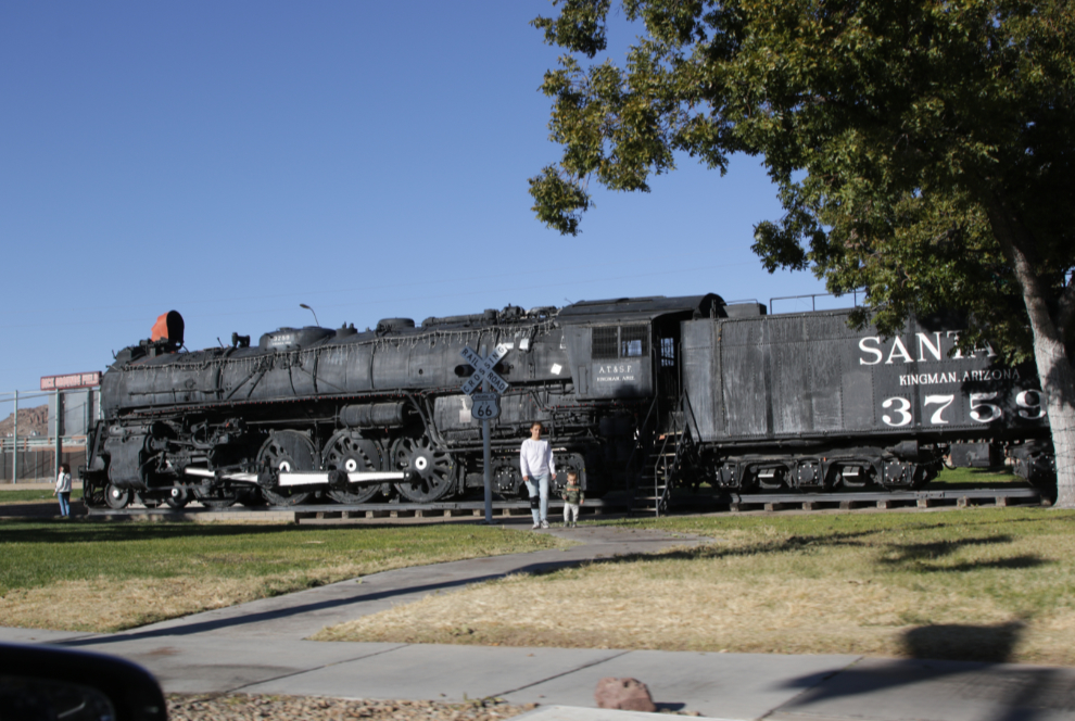
We started this drive at 2:55, so only had 2½ hours to explore before sunset. Across East Andy Devine Avenue from the Route 66 museum and arch is Locomotive Park, with Atchison, Topeka and Santa Fe steam locomotive No. 3759, a class 3751 4-8-4 “Heavy Mountain” type built by the Baldwin Locomotive Works in 1928.
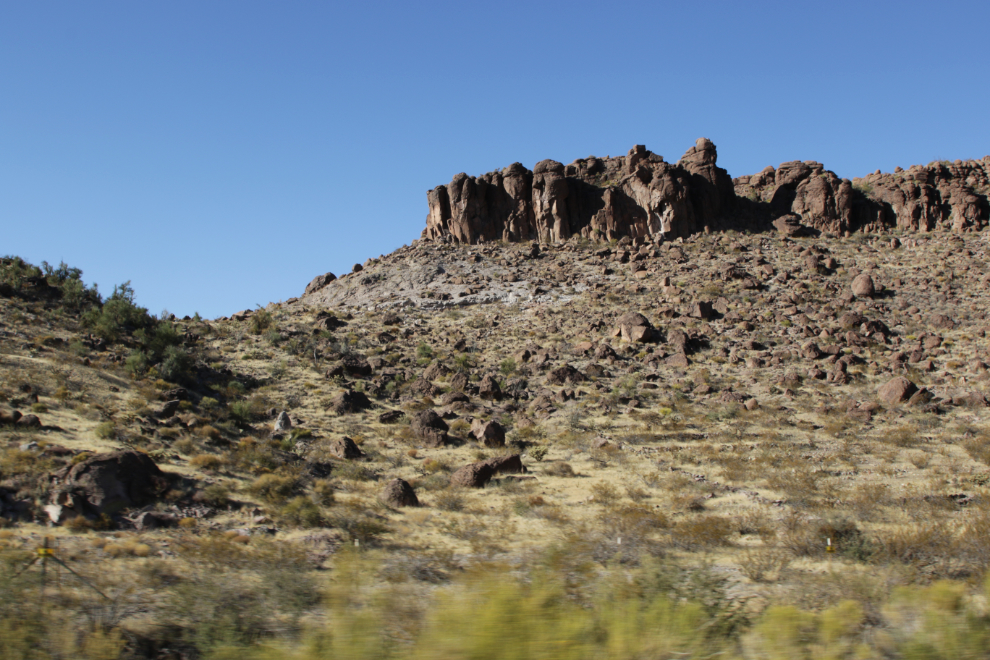
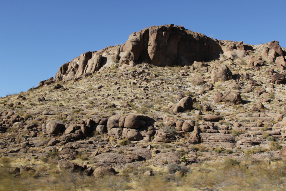
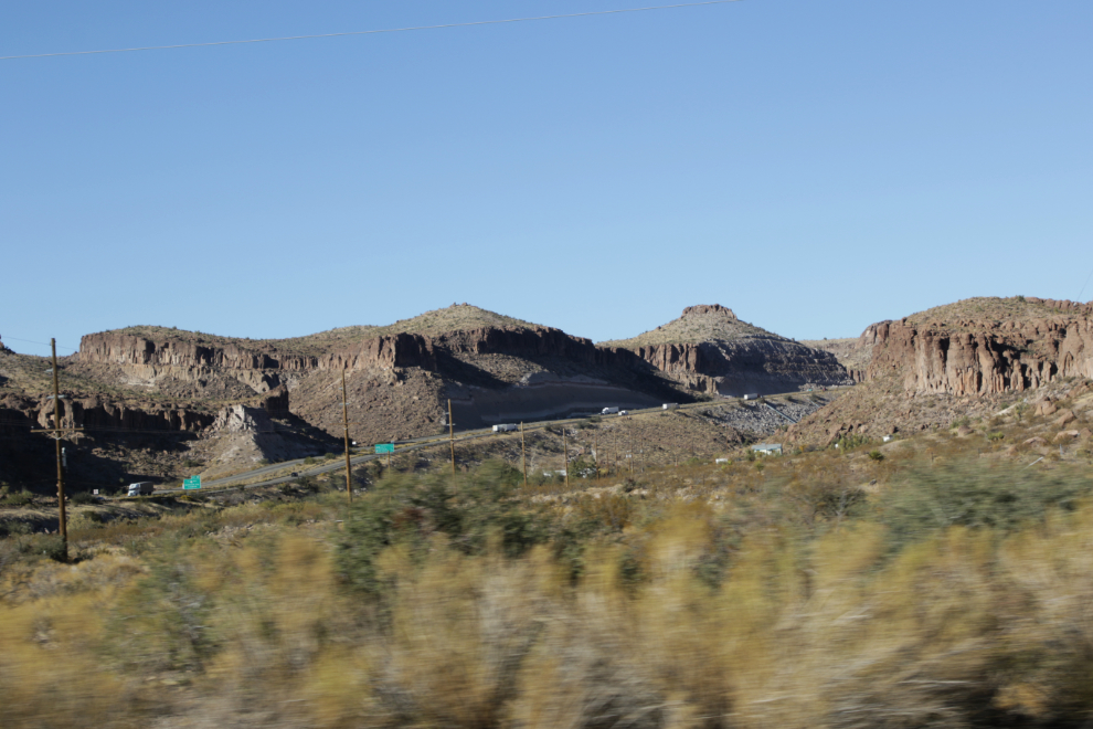
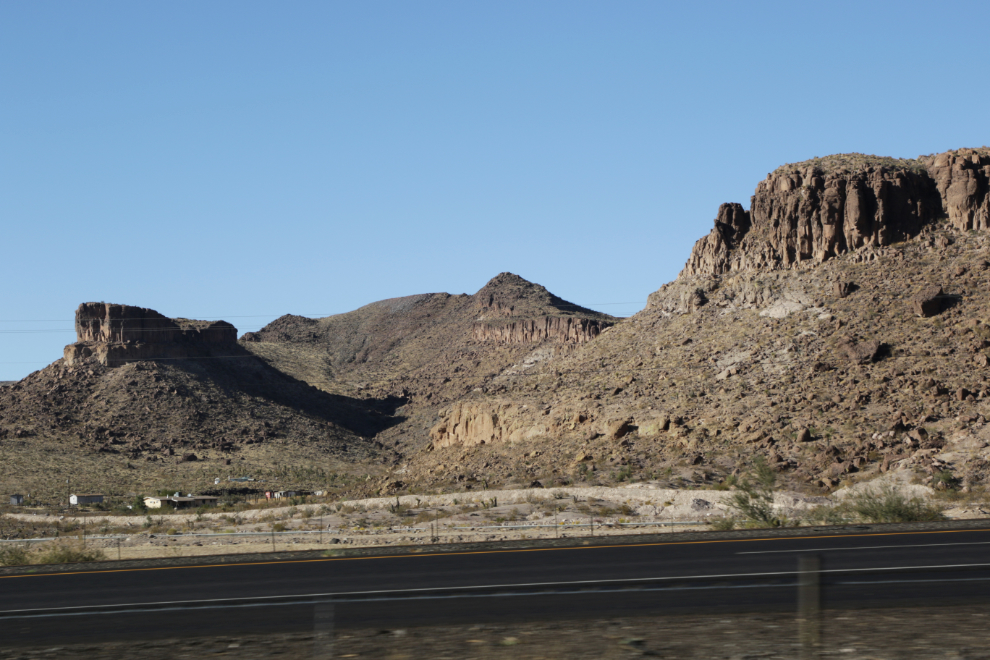
Kingman is pretty much surrounded by impressive rocks, and I photographed the first as we drive along right at 3:00. The next 3 photos were all shot within a few seconds.
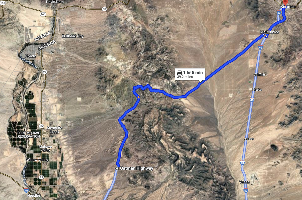
The original 1926 alignment of Route 66 ran southwest out of Kingman through Cool Springs to Oatman, and then on to Topock – that was the route we’d be driving. Google Maps tells you that you should start on I-40, but old Route 66 is much better 🙂
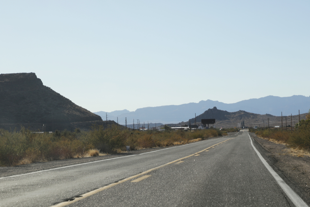
Another great rock, then the country flattened out for a few minutes.
Old Route 66 parallels I-40 for a couple of miles.
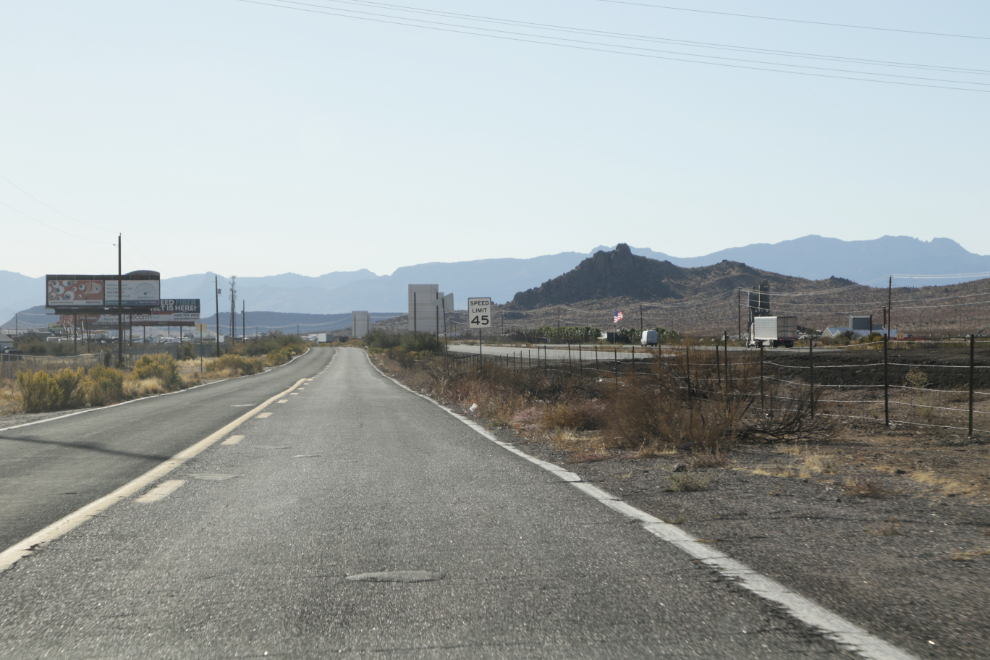
We then crossed over I-40 and passed through the small community of Walnut Creek.
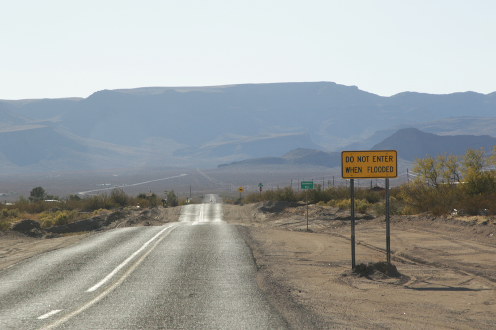
Signs warning of possible flash floods are seen all over the flat parts of central, and southern Arizona – this one is for Sacramento Wash.
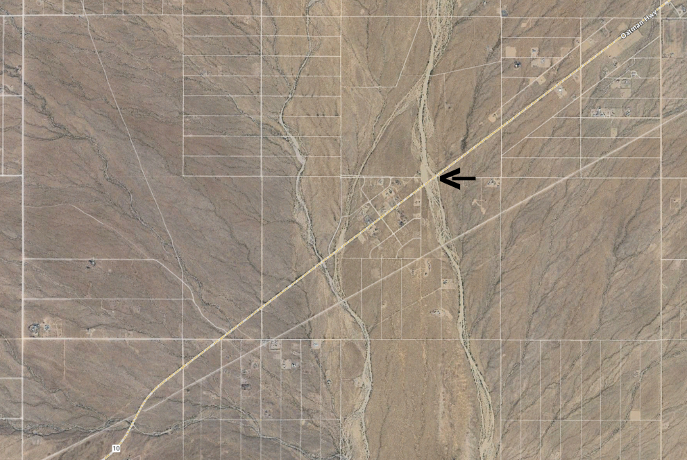
It takes an aerial view to understand the significance of these seemingly small washes – Sacramento Wash is marked by the arrow on this image.
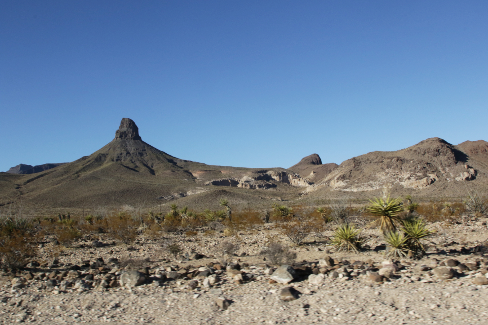
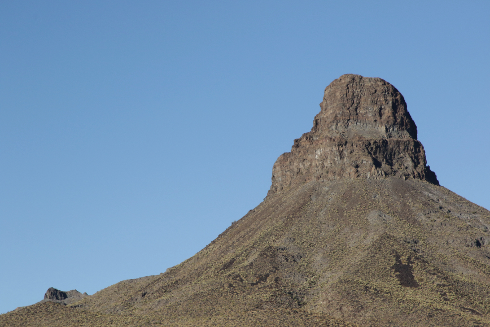
At 3:23 we were back to great rocks, and they just kept getting better and better. This one, shot at 24 and 105mm, must have a name but I have’t found it yet.
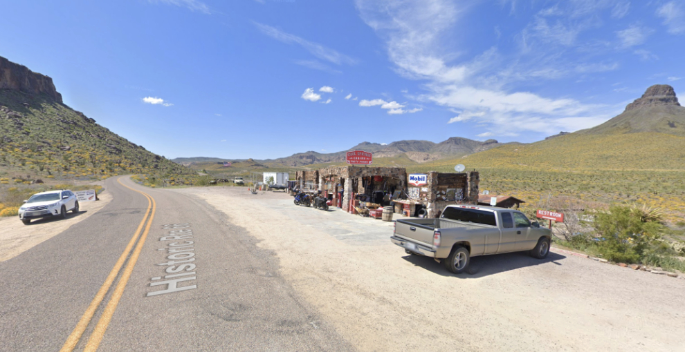
I didn’t get a photo of Cool Springs, but it deserves a place here so I scooped this image from Google Streetview. The road starts to climb into the mountains at Cool Springs, which has an elevation of 827 m/2,713 ft.
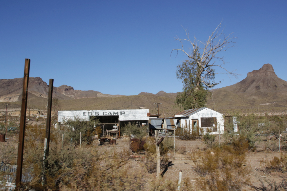
Ed’s Camp was started in the 1920s by Ed Edgerton – it included the Kactus Cafe, a gas station, a small store, and some camping sites.
I could spend days driving, hiking, and photographing along this short route…
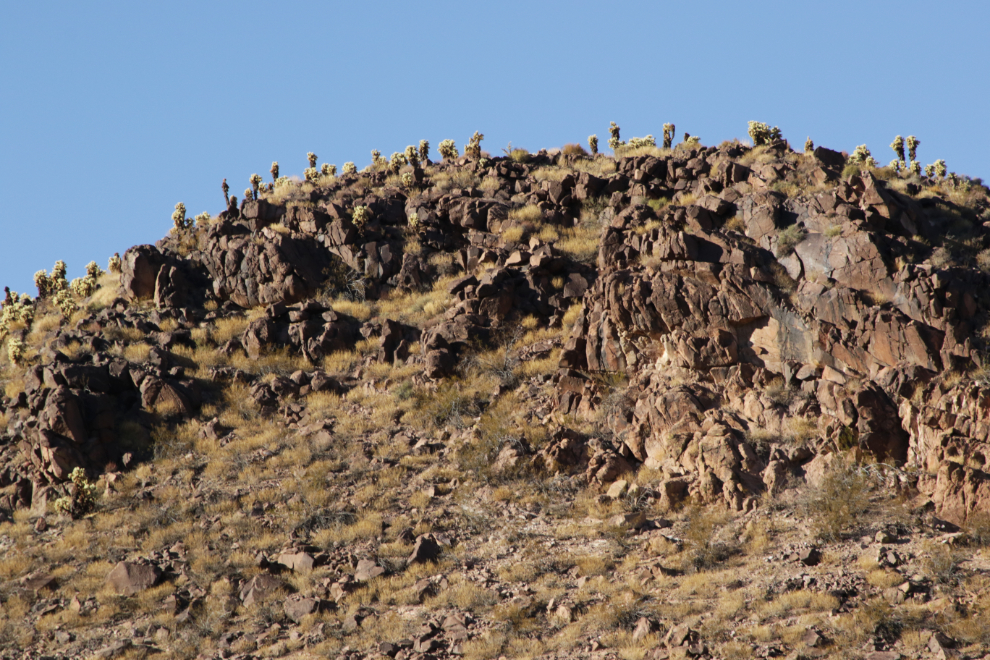
I found a geological map of this area and it’s incredibly complex. I’m still looking for a good summary of what caused scenes like this.
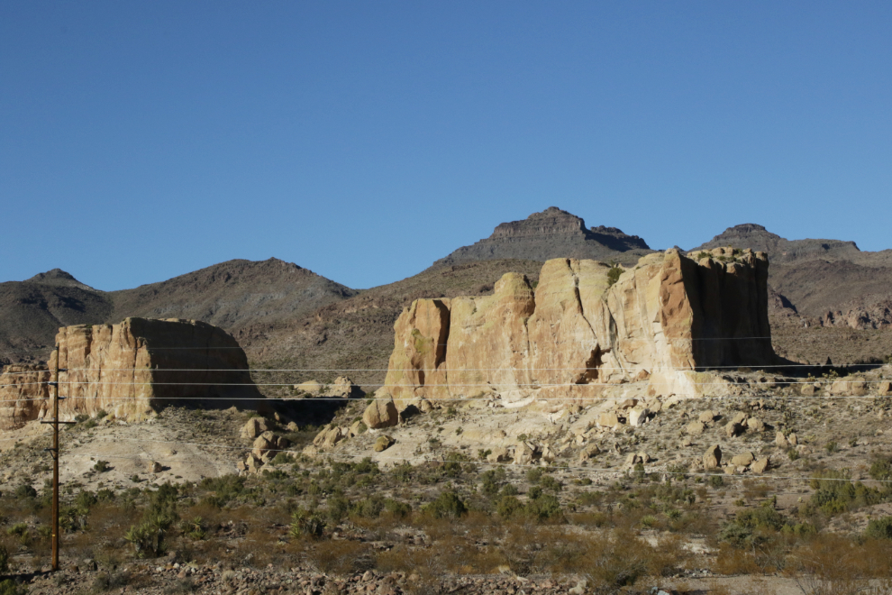
The warning we got at the visitor information desk in Kingman about how narrow, winding and slow some of this road is, was correct. It was perfect! At this point we were climbing up along Golden Valley.
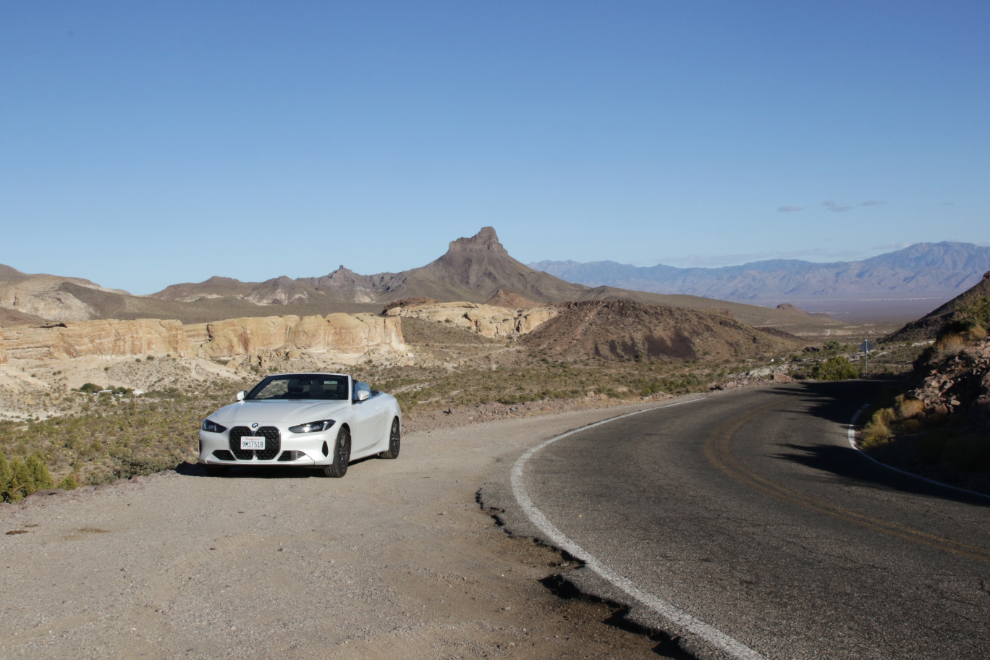
Looking back down into Golden Valley at 3:38.
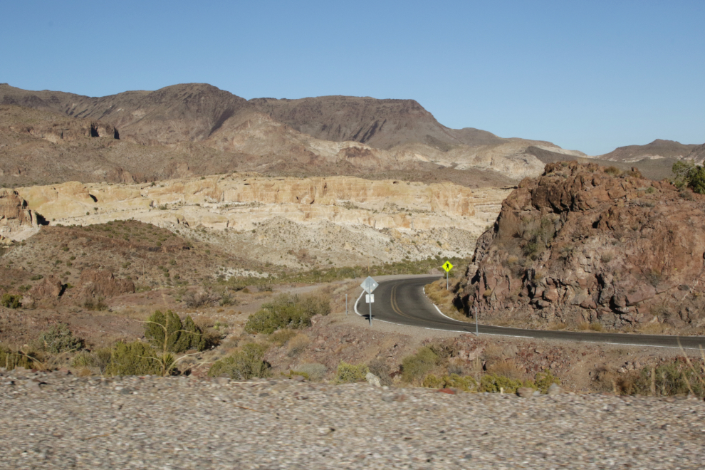
We didn’t know it at the time as it’s not marked, but the attraction up there was Shaffer Spring, a basin of stones built in the 1930s by a man working with the WPA to collect spring water.
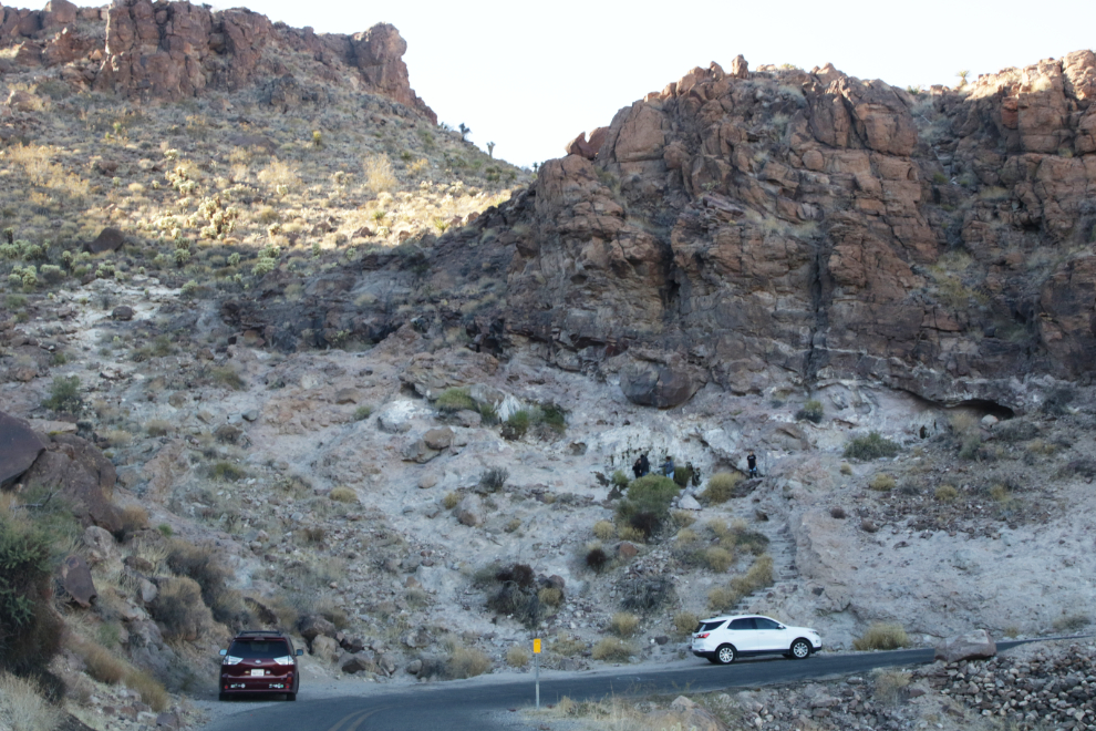
The views just keep getting more and more impressive.
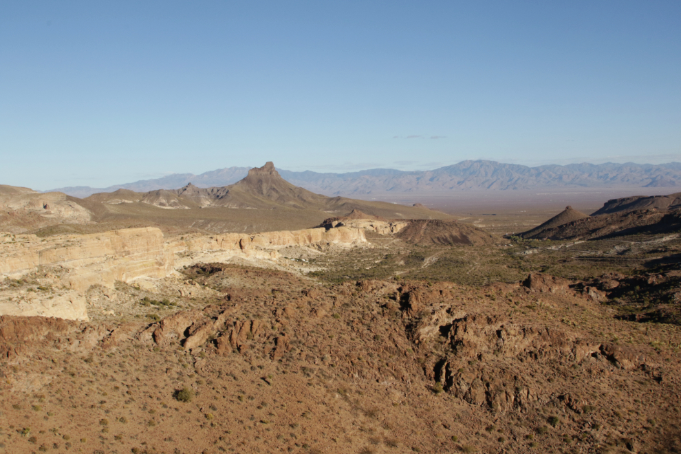
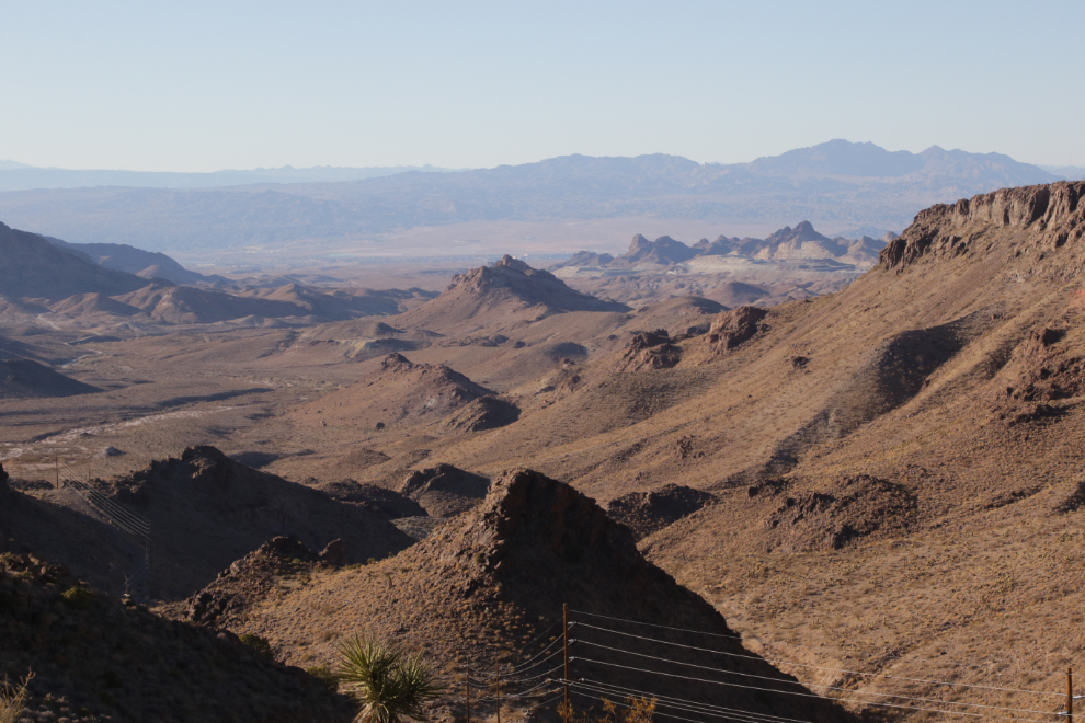
At 3:43 we crossed over the summit at Sitgreaves Pass, elevation 1,093 m/3,586 ft. The pass was named for Captain Lorenzo I. Sitgreaves, an officer in the Corps of Topographical Engineers who conducted the first scientific expedition across Arizona in 1851. The view a minute later was to the west, with the Colorado River in the valley and the mountains beyond in Nevada.
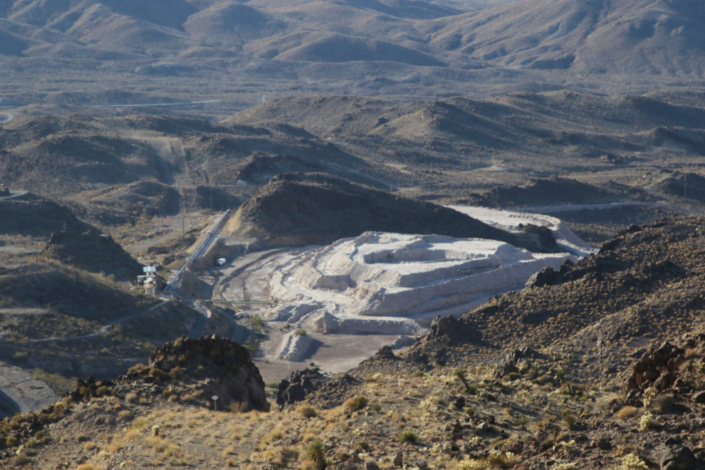
That was a gold mine below us. This is the Gold Road Mine, and they offer tours of the remains of the old town of Goldroad.
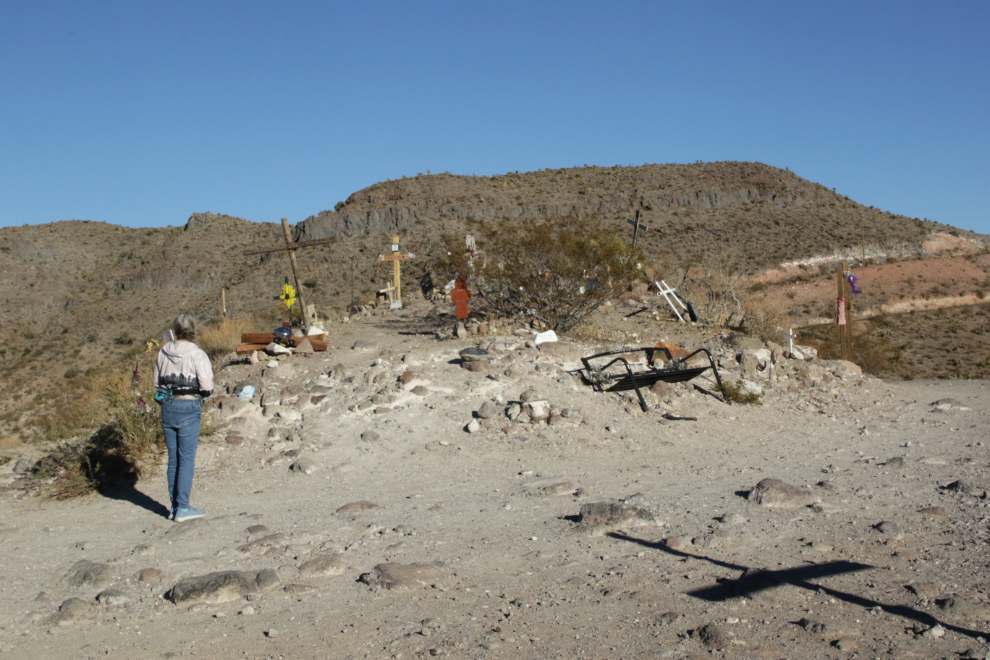
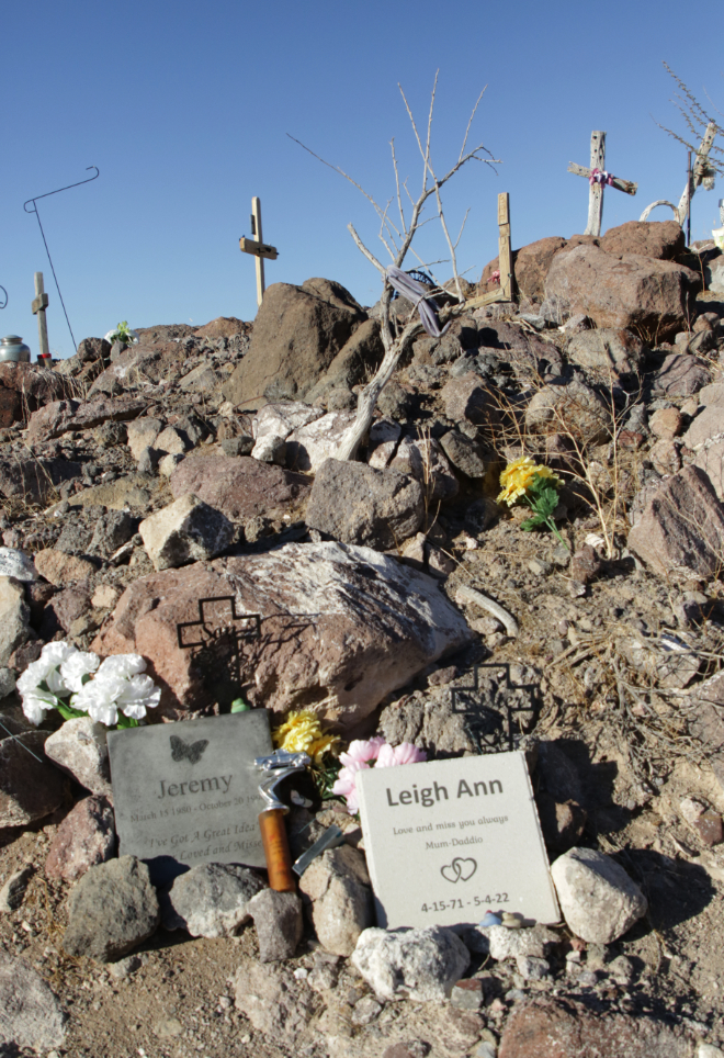
The main Sitgreaves Pass viewing area has become a popular site for creating memorials – there are probably about 50 of them.
Looking back up to Sitgreaves Pass at 3:53.
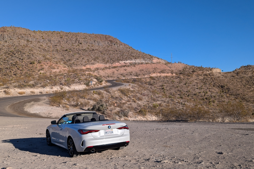
It was now getting cool enough to put the top up. None of my convertibles have had tops go up like this!
From that viewpoint, the road drops 230 meters/755 feet to Oatman, and it takes lots of curves to accomplish that.
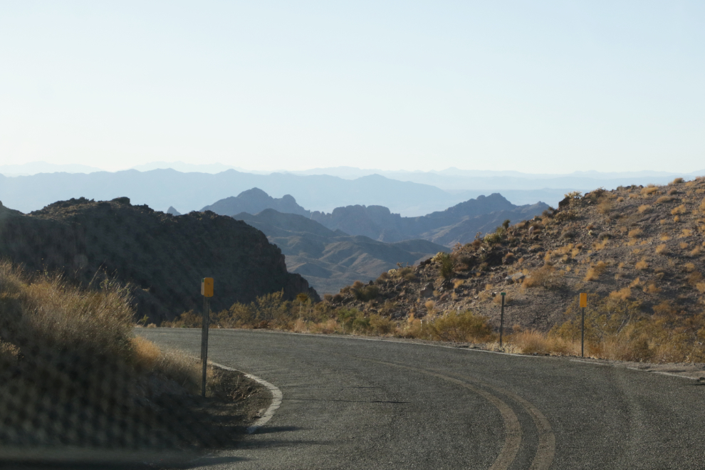
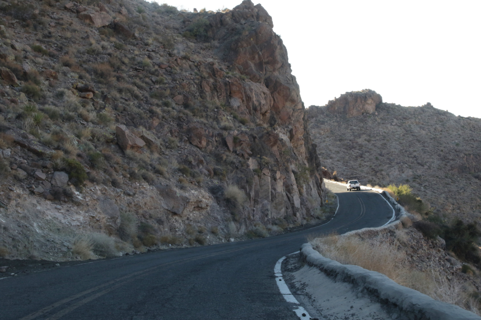
A closer look at the Gold Road Mine.
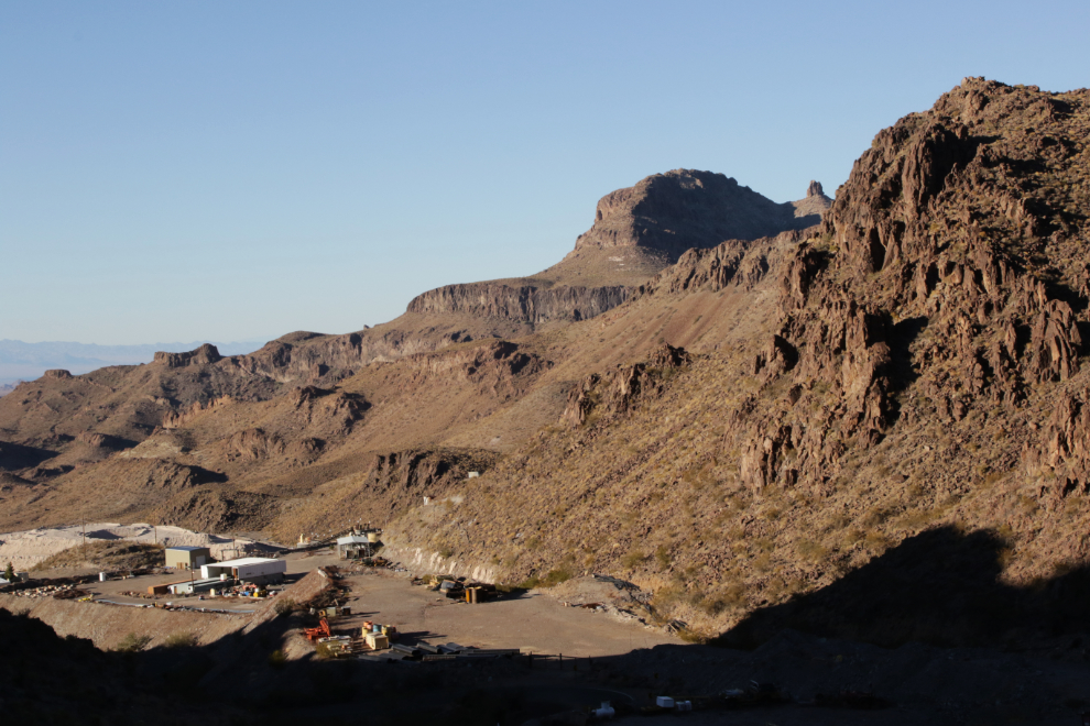
This is incredibly impressive country, and there are old mines scattered everywhere through it.
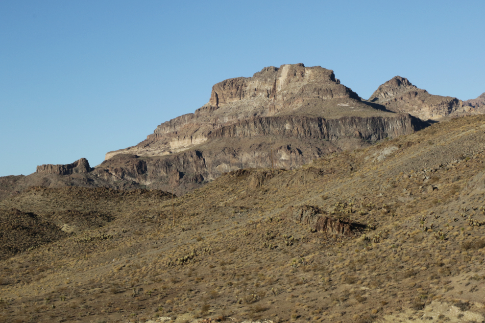
At 4:04 the outskirts of Oatman were just ahead. That’s only 1 hour and 9 minutes since leaving Kingman!
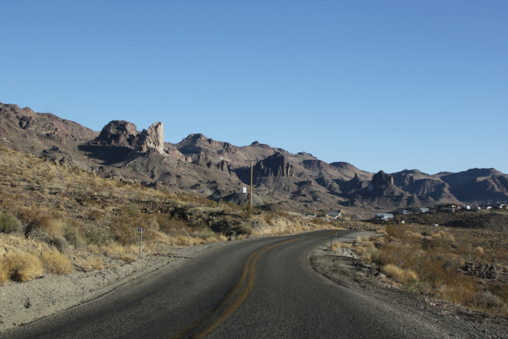
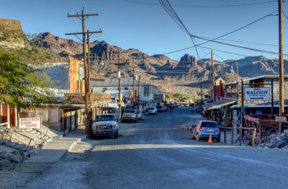
The start of downtown Oatman. The 2022 population was officially 94, but there’s a lot going on here.
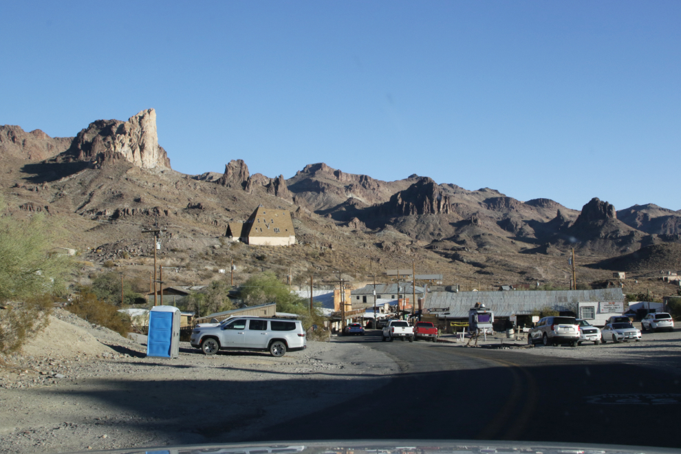
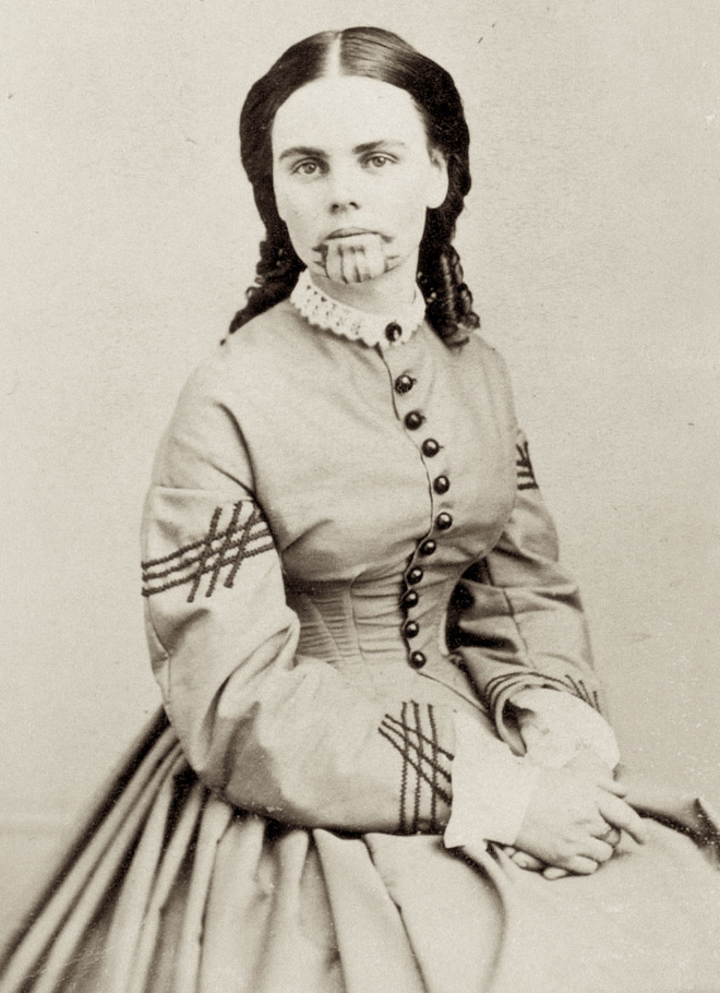
The history of Oatman goes back to 1863 when a tent city spring up after gold was discovered nearby. In 1904, the Vivian Mining Company began operations, and the community took its name. In 1909, Vivian was re-named Oatman in honour of Olive Oatman, a 14-year-old girl whose family was attacked by Indians. Most of the family was killed, but Olive and her 7-year-old sister Mary Ann were taken to be slaves for the Yavapais. Mary Ann died but Olive was eventually released – she is seen in the photo below. Oatman has had a few ups and downs, but tourism now keeps it functioning and that seems unlikely to change.
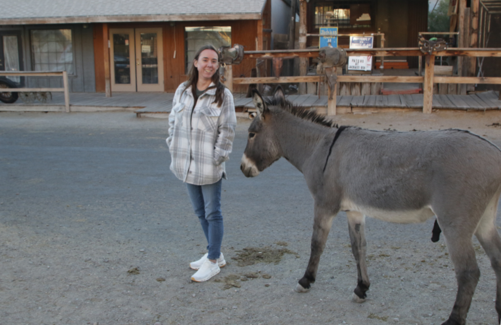
One of Oatman’s claims to fame is the large number of burros that come into town. Burros and donkeys are the same animal, Equus assinus, but people tend to refer to domestics as “donkeys” and the feral ones by the Spanish name “burro.” The burros are very gentle, and this shop sells food for them.
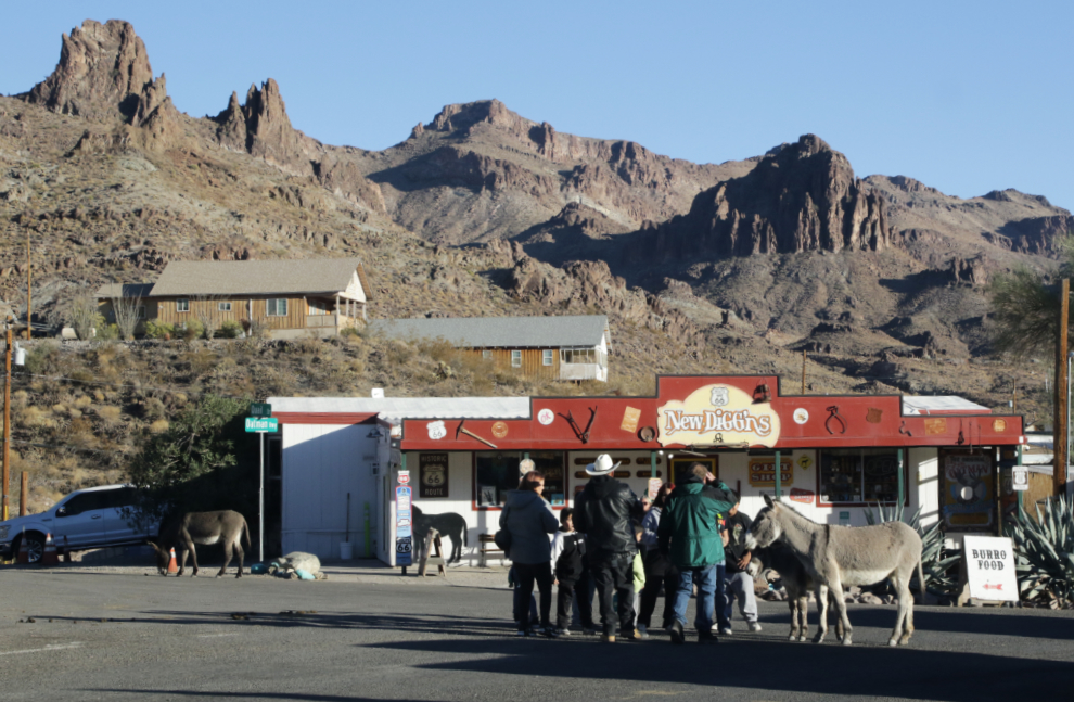
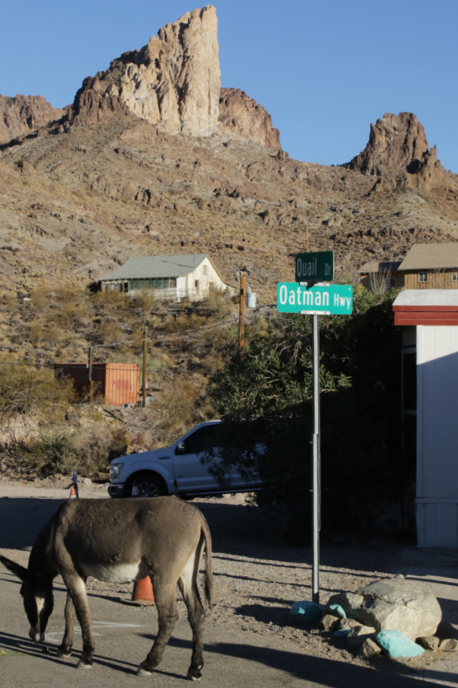
It would take a long time to document this little town well 🙂
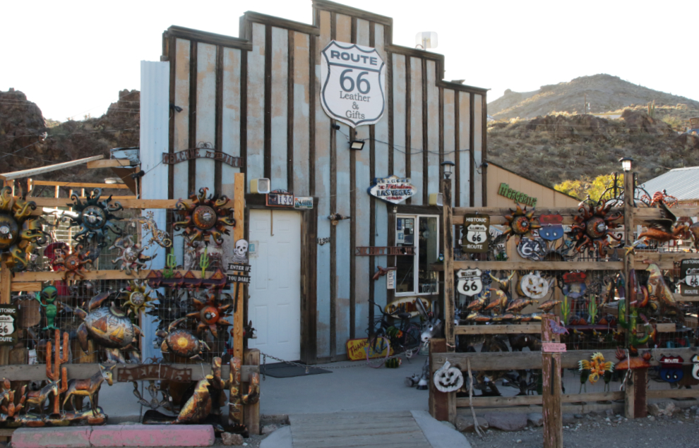
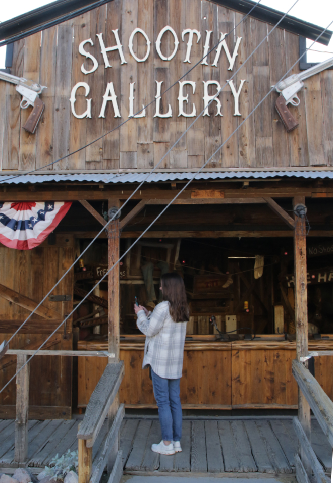
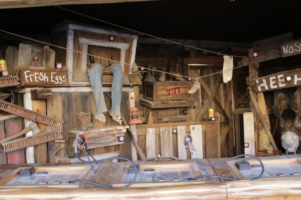
The Wild West and mining history vie for attention at various shops.
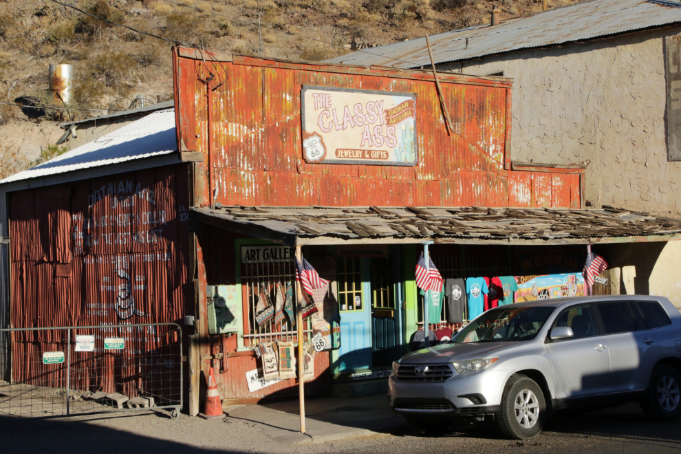
The golden evening light enhanced the colours of some buildings such as The Classy Ass gift shop.
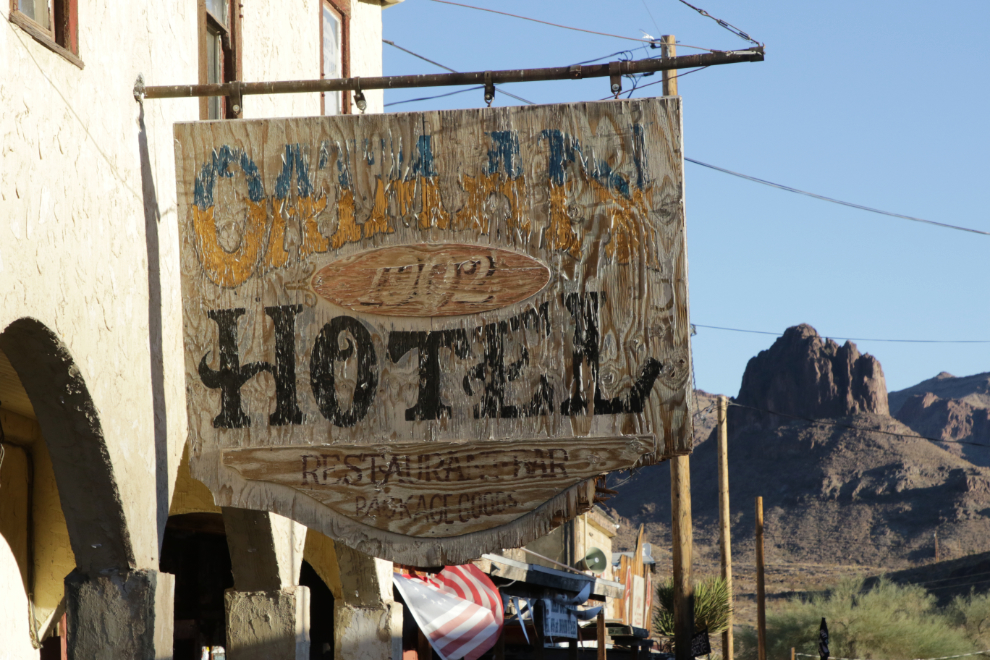
The 8-room Oatman Hotel was originally the Durlin Hotel when it was built in 1902. It, of course, is said by some to be haunted. On March 29, 1939, Clark Gable and Carole Lombard got married in married in Kingman, and they spent their wedding night here. They often returned for peace and quiet over the years.
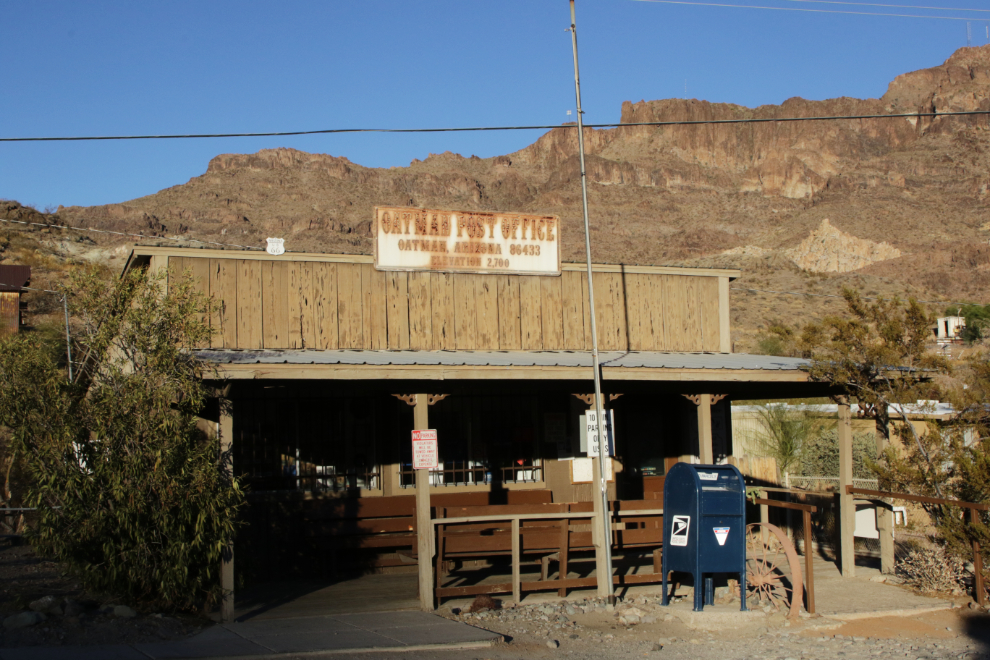
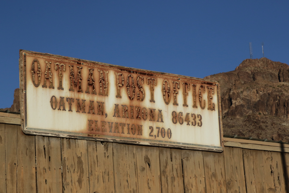
I don’t think the Oatman post office building is very old, but it fits in nicely.
And the sign looks like it’s been here for many years.
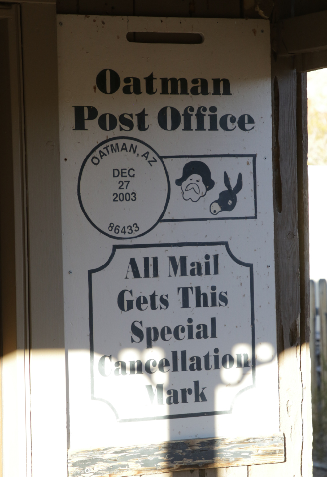
What a fun cancellation mark 🙂
A general view of downtown Oatman, processed as an HDRI to bring out the detail in the shadows.
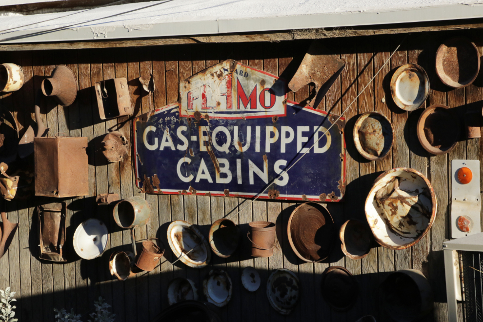
There are cool displays everywhere. Having Flamo gas-equipped cabins was a big selling feature for Route 66 travellers in the 1930s.
Andrea found it easy to make friends here 🙂
I decided to keep driving south past Oatman until we ran out of mountains. The next photo was shot looking south at 4:44 and I turned around just past that spot.
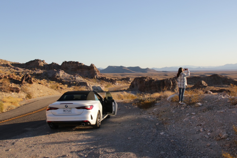
Heading back to Kingman at 4:50.
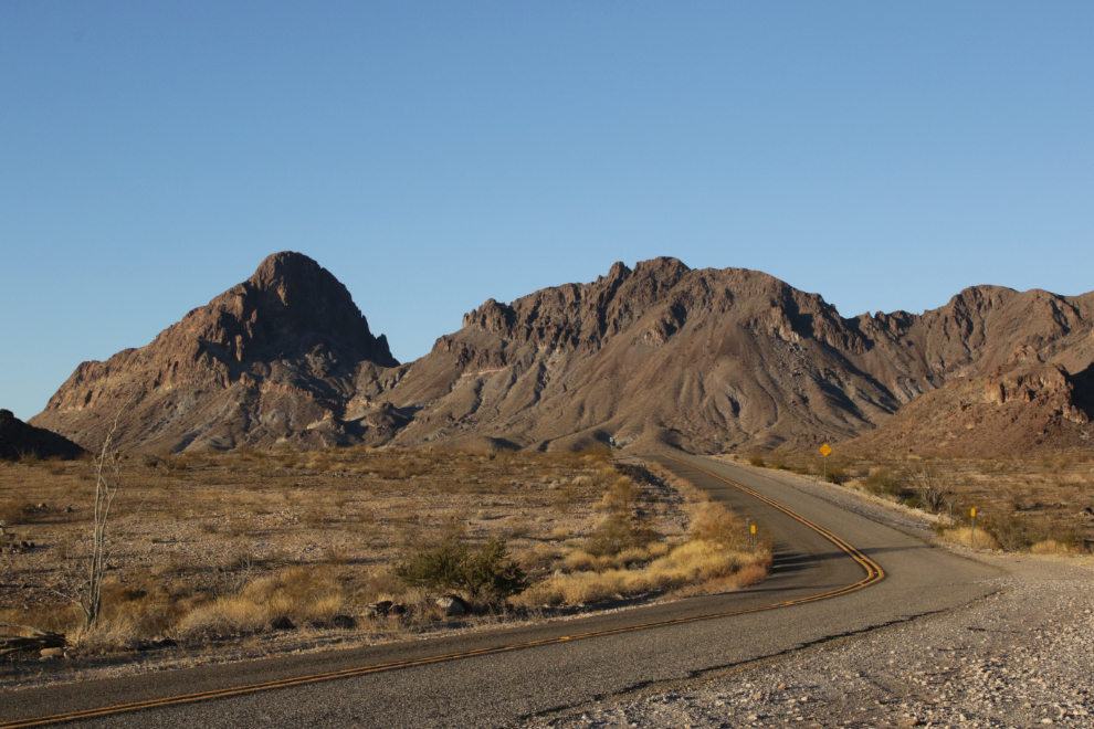
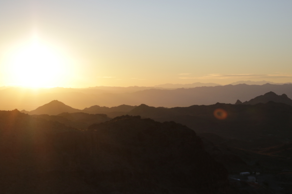
Looking back at 5:15. The sun had come up at 7:13, and would set at 5:28.
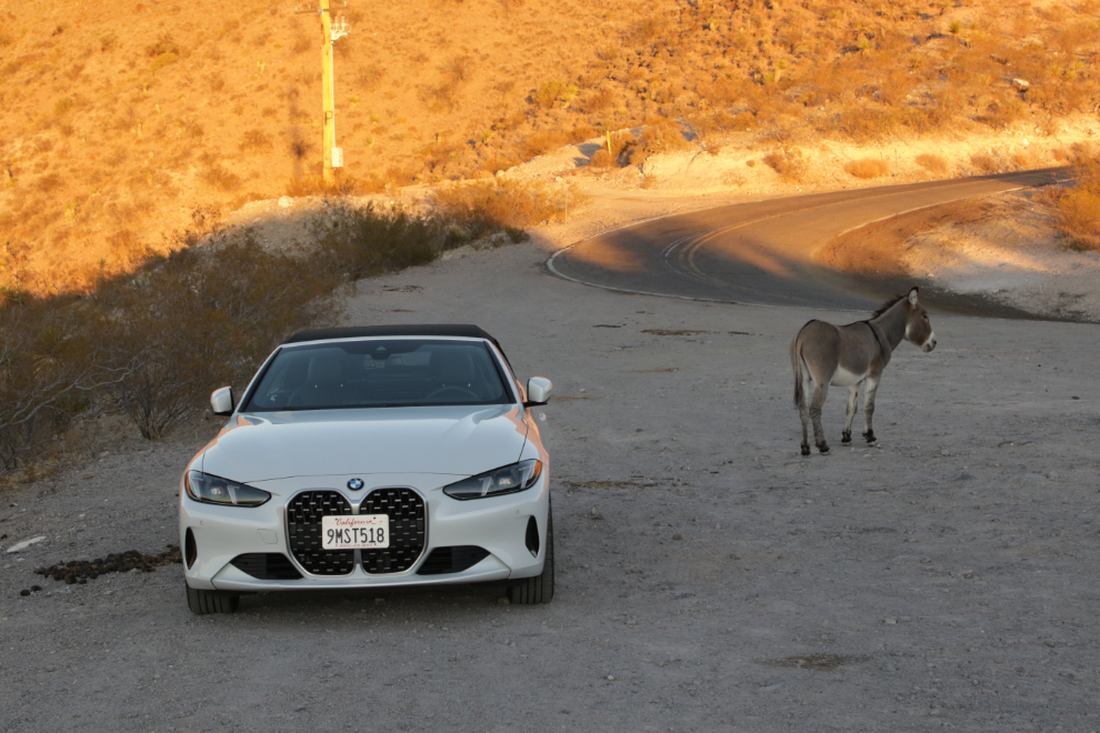
A one-eyed burro at the Sitgreaves Pass viewing area prompted a stop, but we had nothing to give the sweet old guy 🙁
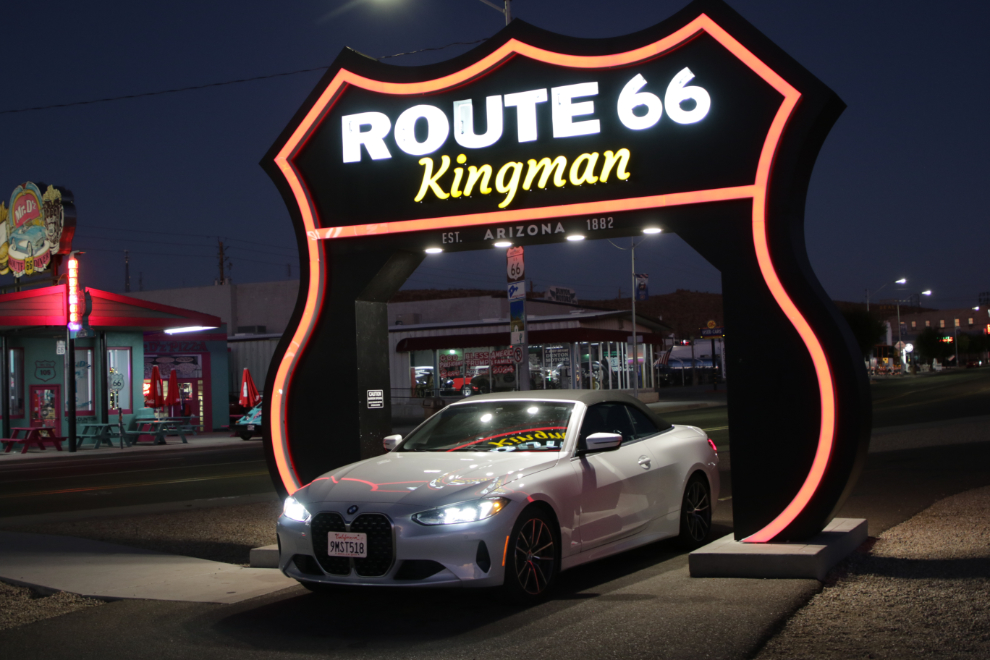
The Route 66 arch looks great lit up, so we took another couple of photo there before going to our motel a few blocks away.
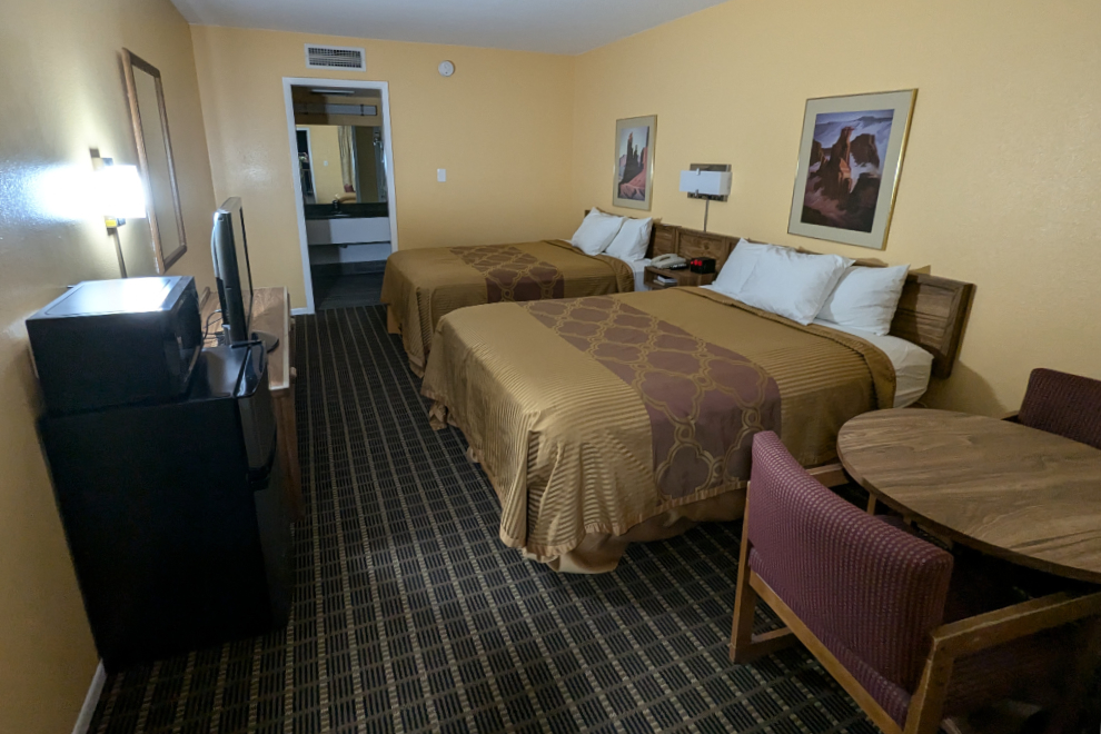
The Arizona Inn was a perfectly fine place to spend the night.
We went a block away to Calico’s for dinner, and I gave them 5 stars on Google: “Excellent food at fair prices, great service, and a comfortable, spacious family space – perfect after a busy day.”
On Monday we would have a much shorter day, driving tom Lake Havasu City and then Quartzsite, 134 miles in total.

Comment
Looks great we are driving here in May
Is it worth going early.morning just after /before sunrise
Yes, the dawn light should offer some spectacular scenes! I hope you have a wonderful Adventure 🙂
Another great post. You are adventurous and I quite like driving along with you. This part of Route 66 figures in Steinbeck’s Grapes of Wrath documenting the exodus of Oakies en route to California in search of a better life after the demise of the sharecropping way of life in Oklahoma in the thirties. Amazing convertible that BMW, although I’m pretty sure I’ll never go electric.
Thanks, Abe – you and I would travel well together, I’m sure. The BMW wasn’t electric – it made high-test gasoline explode in the most wonderful way 😀 (I’m not a candidate for electric, either). I should read Grapes of Wrath again – it’s been many years.
You should have gotten a picture of Andrea on the donkey. 🙂
Arizona is an interesting place to visit but I wouldn’t want to live there. I would get tired of looking at rocks. If you ever have the opportunity you sould go to Sedona AZ. It’s pretty touristy but a lot of beautiful scenery.
Rocks and few changes in the weather could get pretty boring, I suppose.