Driving Northern BC from Muncho Lake to Hudson’s Hope
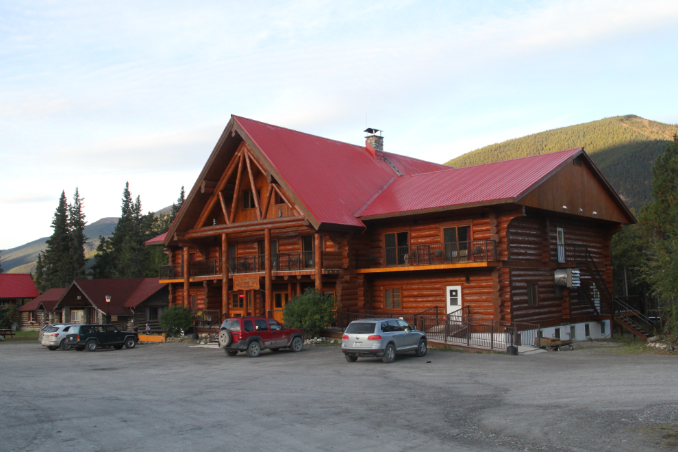
Monday morning started easy at the Northern Rockies Lodge on Muncho Lake. I spent a couple of hours writing yesterday’s blog, with a comfortable desk and a spectacular mountain view. I’d continue driving south once I got moving, with no real plan for the destination – Chetwynd perhaps. I was going to take the Highway 29 cutoff rather than go through Dawson Creek, to see what changes if any the Site C dam project has brought about so far.
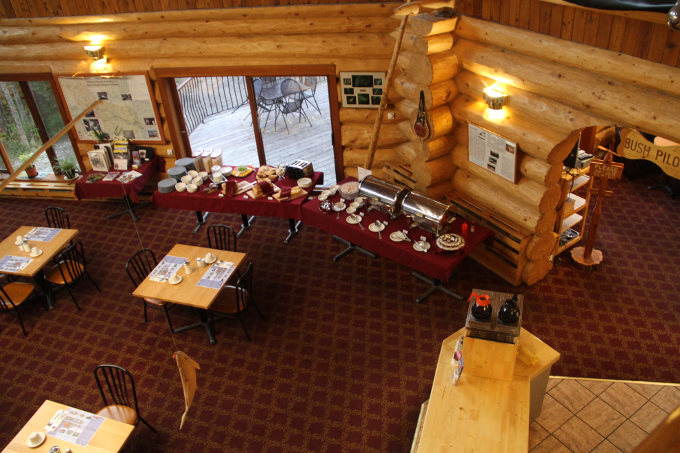
A look down at the breakfast buffet setup at 07:15. I was the only non-staff person there for the first half-hour. It’s a very basic buffet, though the home-made bread was notably good.
I went out for a bit of a walk after breakfast, to get some photos of the property while I waited for the light to get better to start the drive. These mountains are too wonderful to not see them in good light when you just have to wait an hour or so.
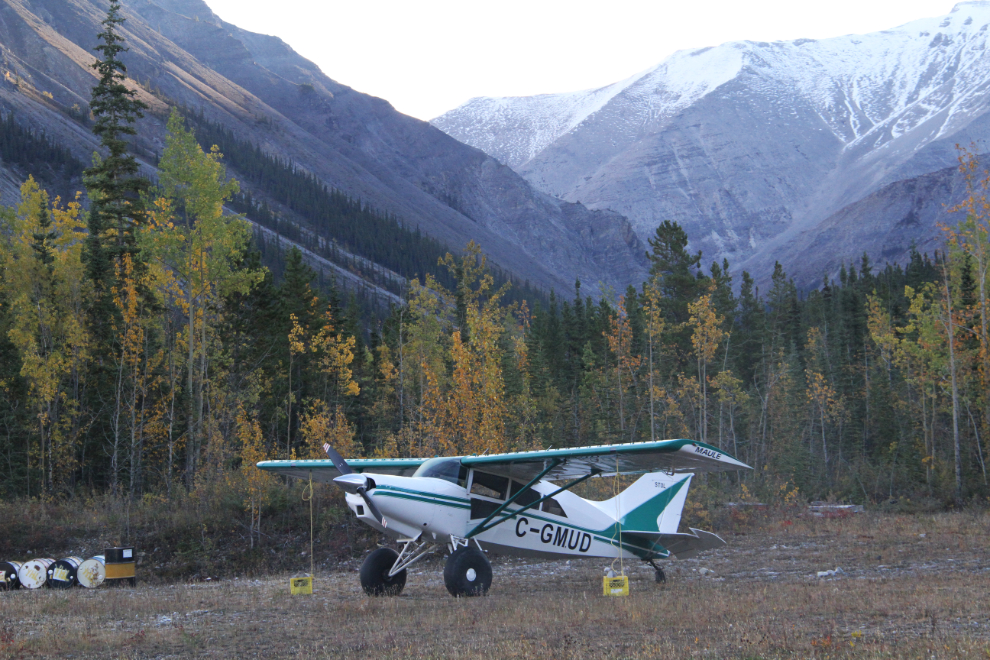
During my walk, I took a couple of photos of this plane, which allowed me to add a new aircraft to my favourite online aircraft database. C-GMUD is a 1995 Maule M-7-235B Super Rocket from Hines Creek, Alberta – it’s new in the database under that registration because it was just brought to Canada last year. I wonder why you can’t easily search cars the way you can airplanes?
At 08:20, I started down the Alaska Highway, though it was a slow start, with several photo stops along Muncho Lake.
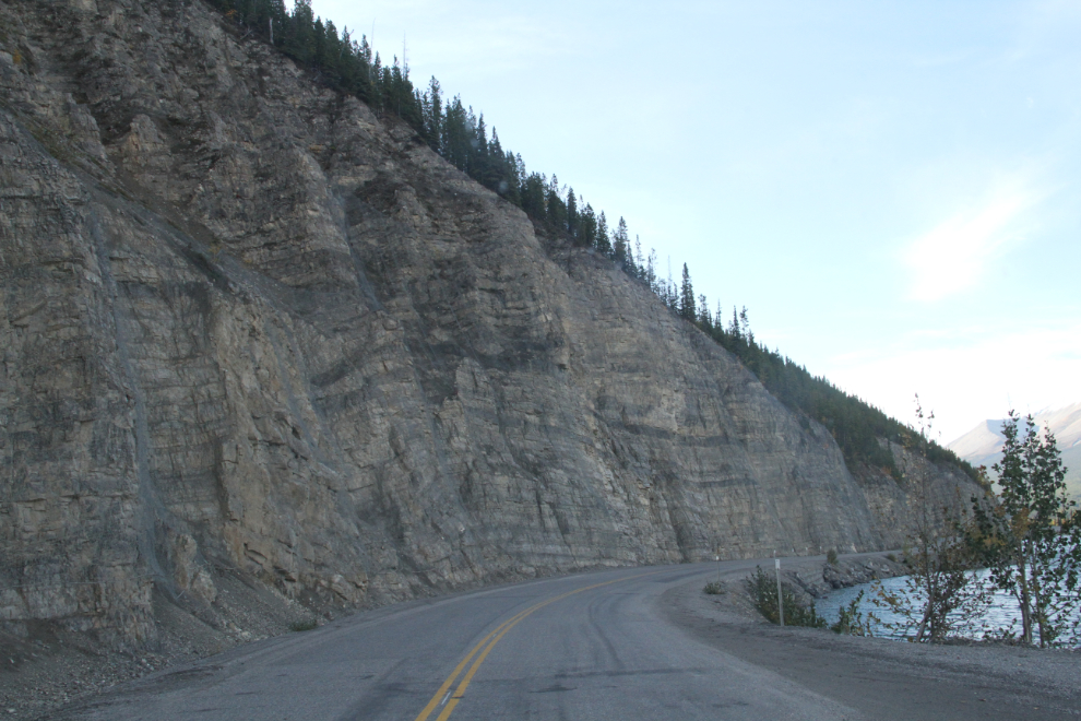
The original Alaska Highway is above these cliffs – it’s now an excellent hiking trail. The heavy blasting required to get the road down to lake level was done shortly after the highway was finished, though – about 1945-46.
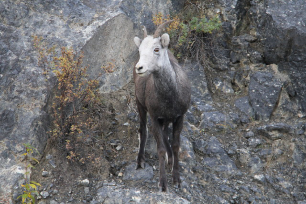
This sheep ran across the road from the lake to the cliffs, then found that there was no place else to go. I took a couple of quick photos then left him in peace. He’s a Stone sheep (or Stone’s sheep), Ovis dalli stonei.
The road ahead at the Highways maintenance camp at the east end of Muncho Lake, signed as Historic Mile 456 of the Alaska Highway, a checkpoint and refueling stop.
I stopped at Toad River Lodge to get enough fuel to reach Fort Nelson, then a few minutes later, at 09:00, went for a short walk after crossing the Toad River bridge. I remembered to take my phone with me so I could take this photo with it for an Instagram post. I seldom use my Instagram account because I just don’t use my phone to take photos.
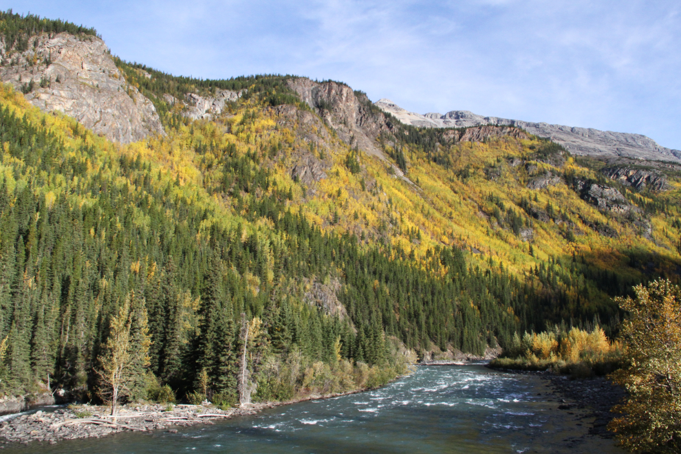
The Racing River required another stop and walk. I wasn’t making very good time! 🙂
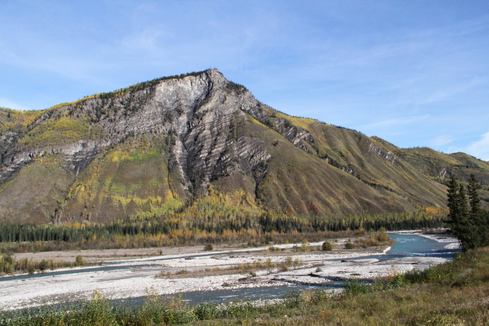
A look back up the highway from the Stringer Creek culvert, where the Racing River photo above was also shot.
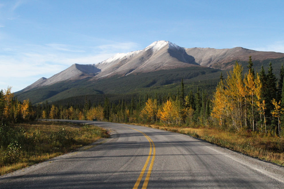
I had plans for a big hike at Summit Lake, and the weather was perfect for it. I climbed up the Ridge Trail over the campground first. I thought that it continued up to the microwave tower road, but I came to a dead-end, so went back down.
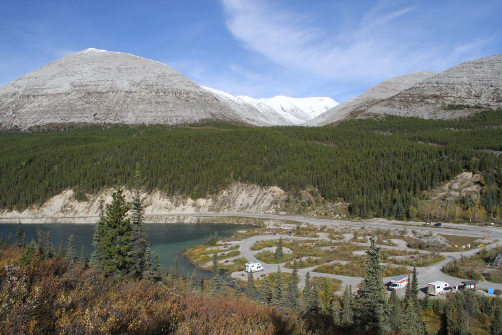
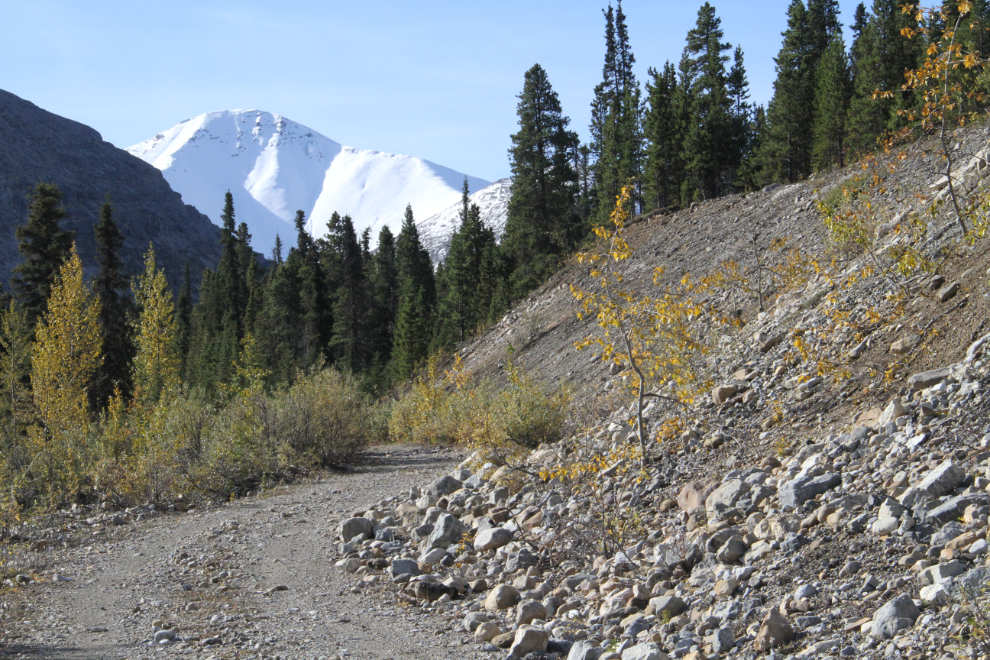
I walked across to the microwave tower road and started up it, but didn’t get very far before I got really bad grizzly-bear vibes. I’m trying to limit my bear attacks to no more than one per year, so stopped just above the point seen in the next photo, and headed back to the truck. When I get those feelings, I always listen.
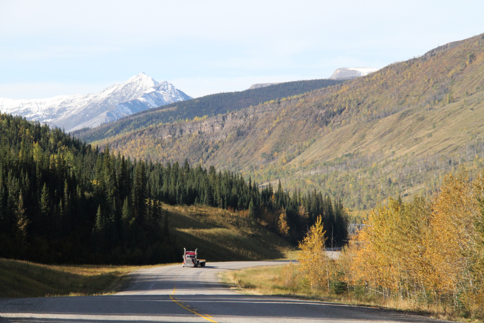
As I started climbing to Steamboat Summit at 11:30, the view in my mirror prompted a stop to get this photo.
The view to the south from a large pullout just east of Steamboat Summit. Dropping down the hill, I was surprised to see the long-abandoned Steamboat Lodge gone – there’s just a pile of burned timbers left. It looks like the fire was very recent.
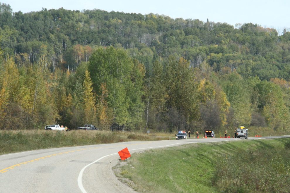
Just north of Fort Nelson, Conservation Officers had a hunting and fishing check-stop set up. A brief, pleasant chat, and I was on my way again.
I stopped at Fort Nelson for lunch and a full load of fuel. The new manager of the Fort Nelson Hotel had asked me to stop in to see him, but he wasn’t around. The hotel was sure dead – well, the whole town was.
About an hour south of Fort Nelson, I saw one of the silliest signs I’ve ever seen on the highway. On the large yellow sign at the edge of endless forest out in the middle of nowhere: “Danger. Wildfire Area. Enter at your own risk.” I should have taken a picture of it, and I watched for another so I could get a photo of it, but no luck. I can’t imagine who would have installed it, or why. I haven’t noticed it on previous trips, and it’s hard to miss.
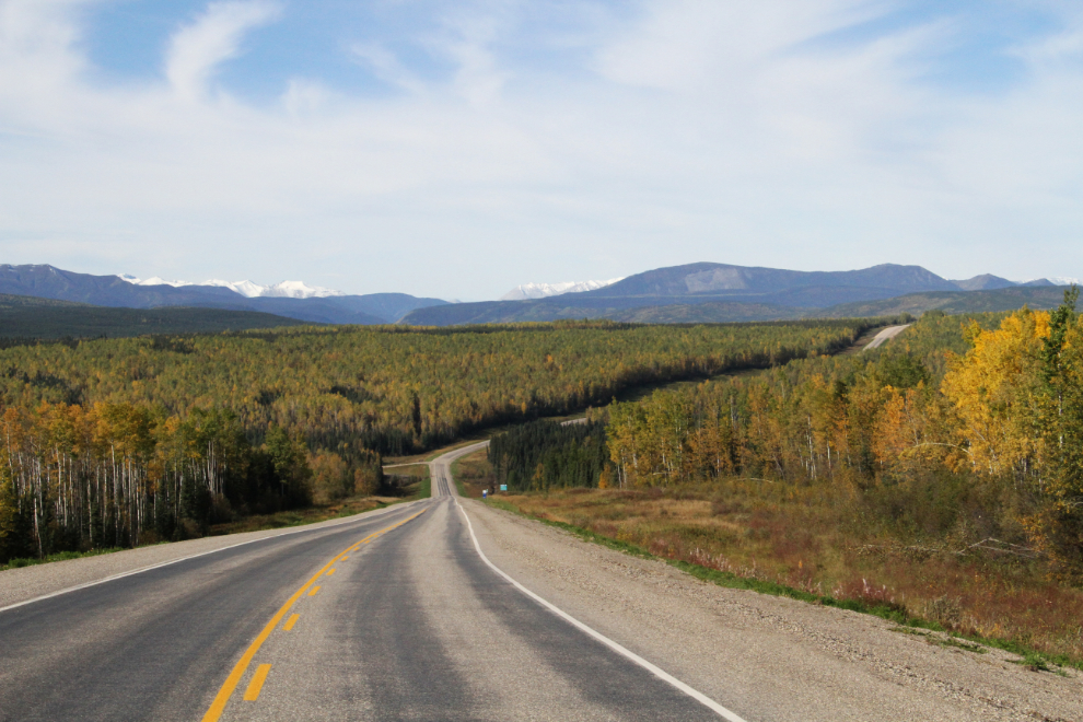
Heading into the Peace District – oil and gas country – at 2:20 pm.
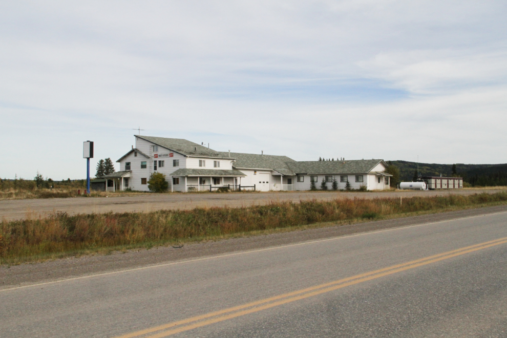
Mae’s Kitchen served a lot of people over the past few decades, but when the oil boom hit, they started catering to just crews. I guess they’ve made their millions and retired now. Millions? Well, a sign at the place next door says “Room and Board from $160 per night”.
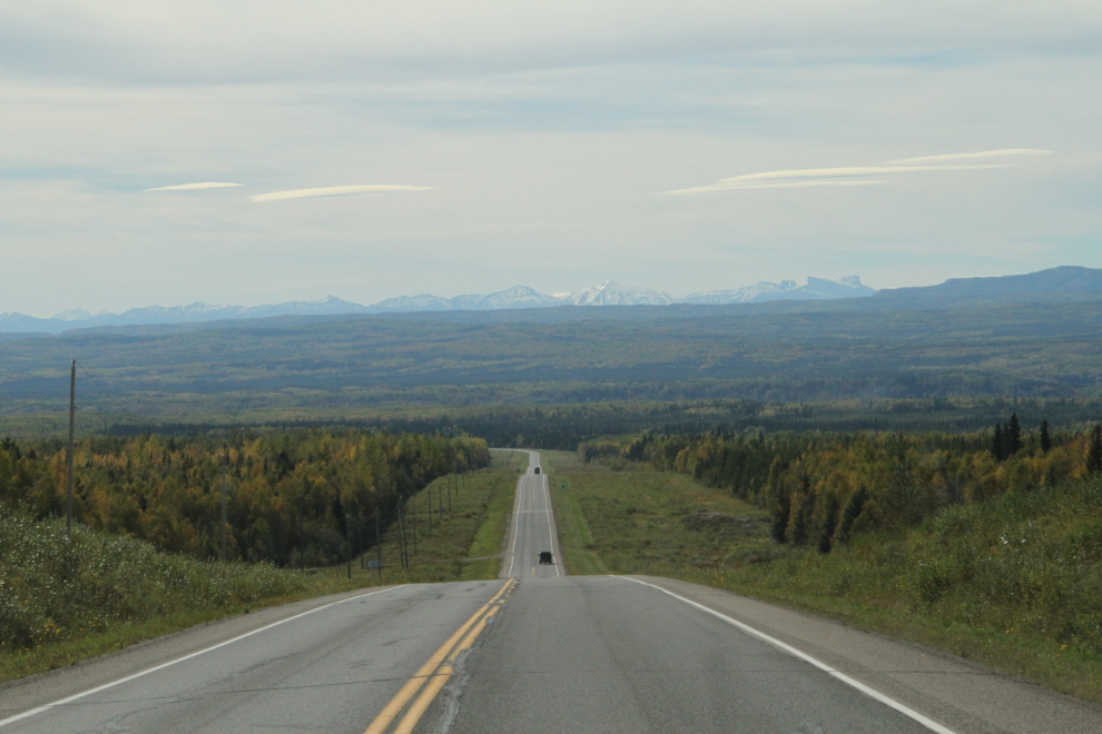
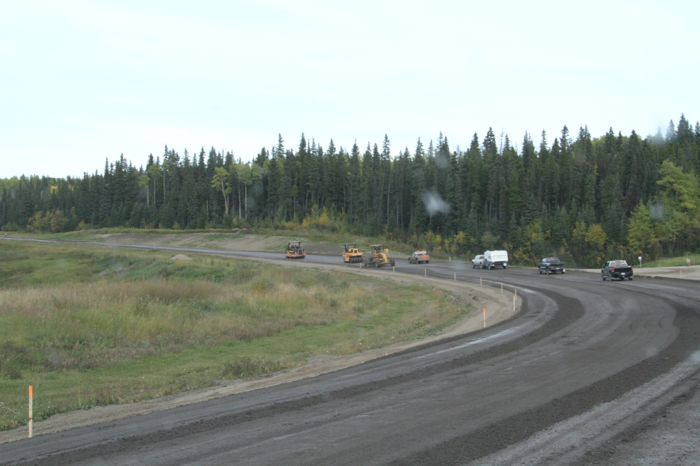
Across Pink Mountain and for dozens of miles to the south, the highway is being re-paved, and delays were quite lengthy.
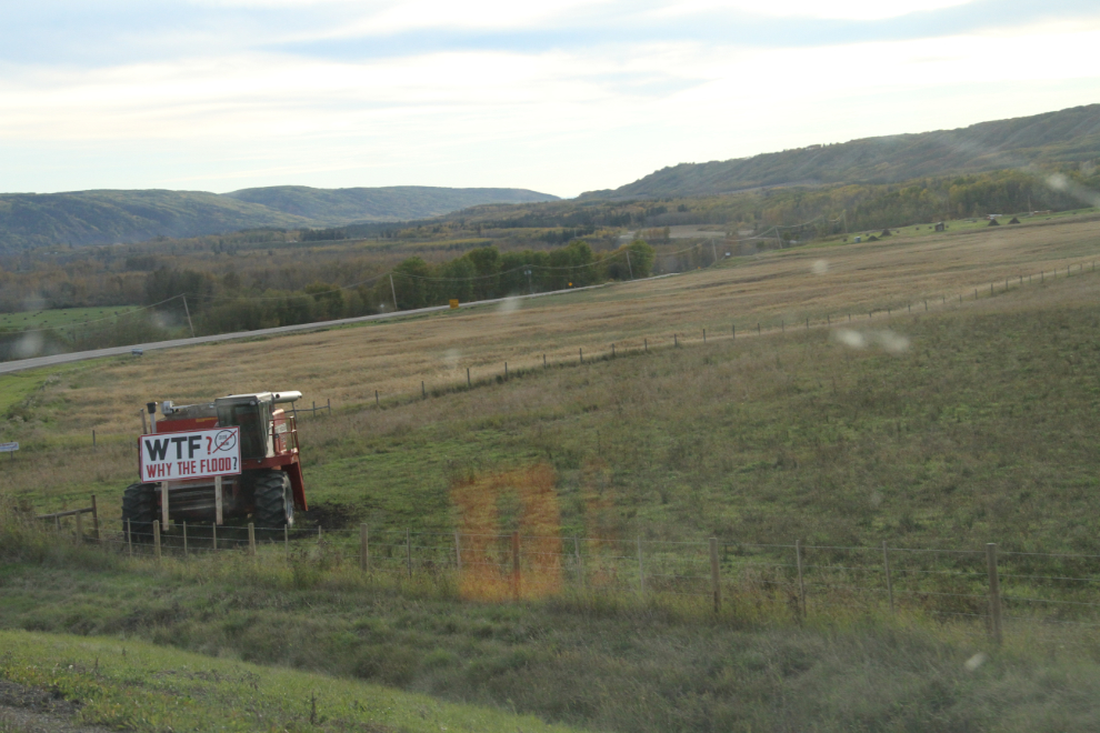
There are plenty of anti-dam signs on Highway 29 north of Hudson’s Hope, but this one at one of the ranches that’s going to disappear under the Site C reservoir is one of the best (another on a hill along the highway shows how high the water will be – quite shocking).
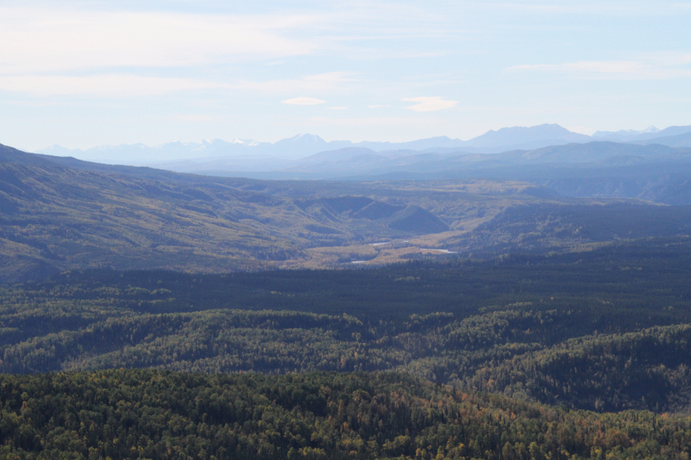
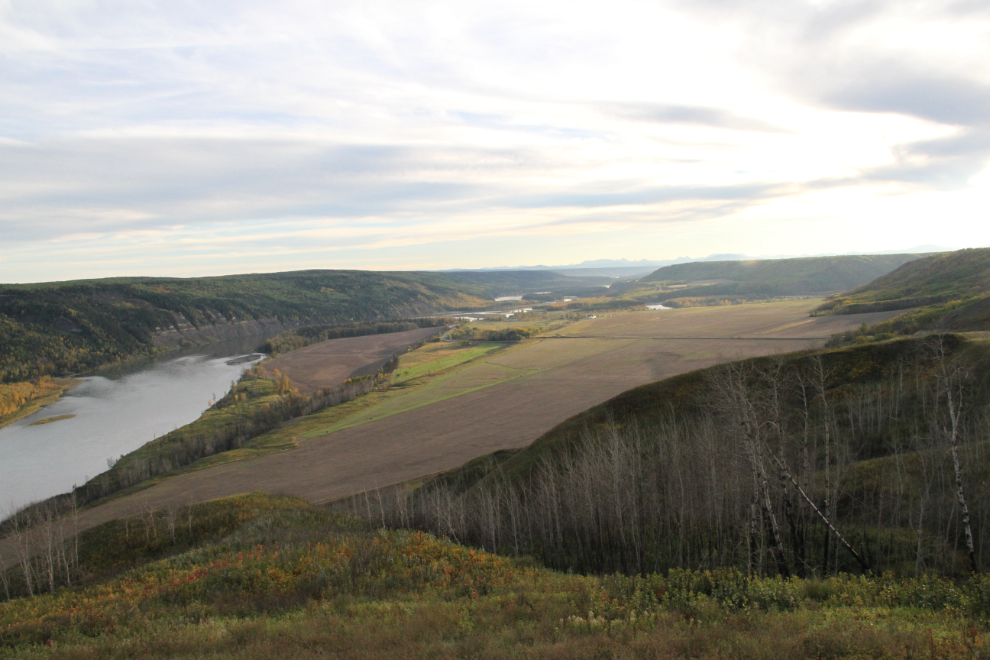
Three guys on Harleys passed me, and when I stopped at the main Peace River viewpoint, they were there. We had a nice chat for a few minutes. I’m not sure how far the dam reservoir is going to reach, but I think that it will cover as least the near part of this view.
I was tired by the time I reached Hudson’s Hope so decided go call it a day. I’ve had some good meals at the Sportsman’s Inn, so figured the rooms must be good as well. Not so much. But is was only $55, $61.02 with taxes.
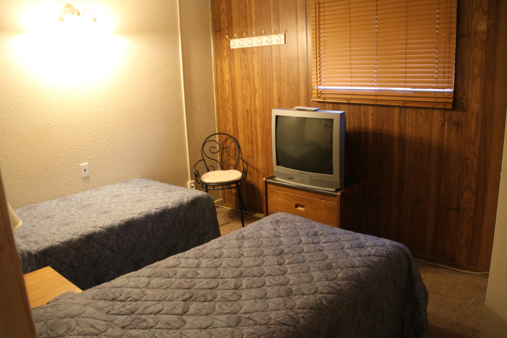
The room was clean, but the neighbours were noisy (that’s no surprise when the parking lot is full of pickups), there was no coffee for the coffee machine, and no table to write at. Oh well, I should have known better. It’s now 07:00, time to get out of here – the planned destination tonight is Clinton, but I’m open to other possibilities as they might appear.