Driving from Yuma to Ajo, Arizona
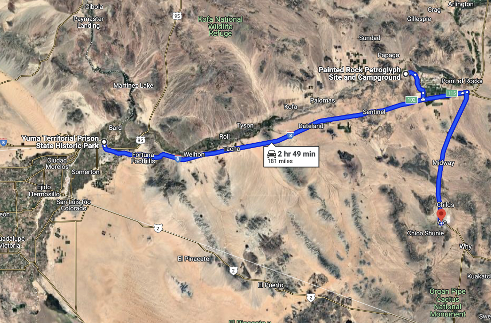
This post describes our drive from Yuma to Ajo, with a detour to the Painted Rock Petroglyph Site, on Wednesday, November 20th. See an interactive map of the basic route here.
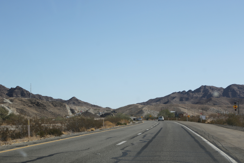
When we shot the first photo at 11:23 (I was driving so Andrea shot it), we were on Arizona Highway 8, climbing Telegraph Pass through the Gila Mountains about 18 miles (29 km) east of Yuma.
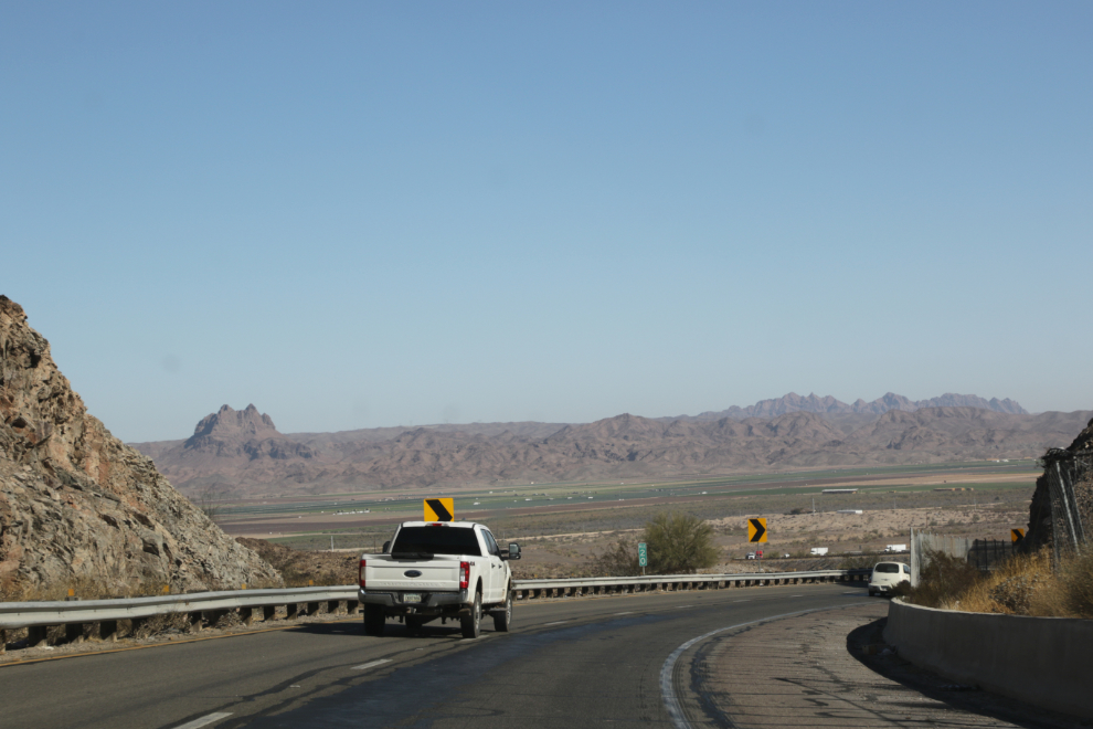
At Mile 20, we were dropping down the other side, into the Gila River Valley, a rich agricultural area.
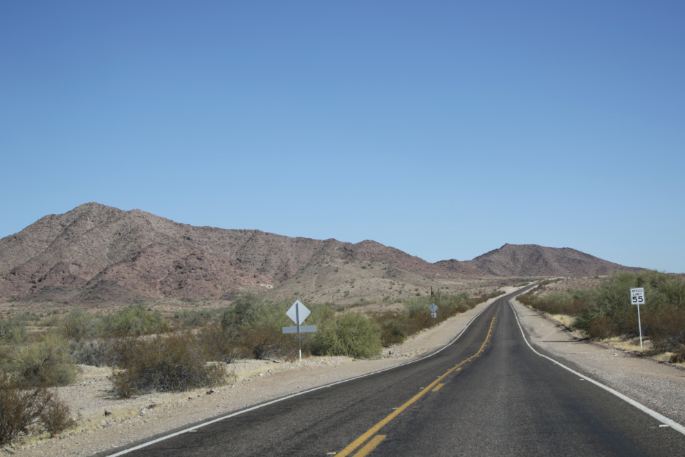
A few minutes later, I spotted a sign for Painted Rock Petroglyph Site, and decided to take that detour, though there was no indication of how far it was.
Painted Rock Road was a very nice drive, with no traffic.
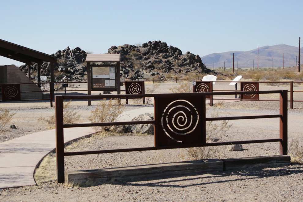
The petroglyph site is about 11 miles from Highway 8. It’s a very attractive park.
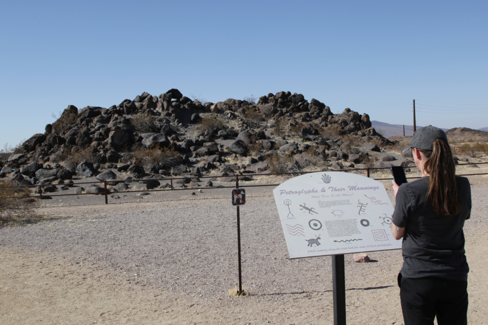
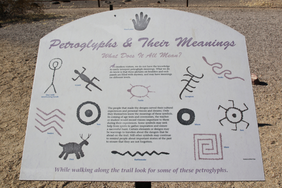
As with every park we visited in Arizona, the interpretation at Painted Rock was very good. This panel is a good starting point – it explains that we only know in the most superficial way what the symbols mean.
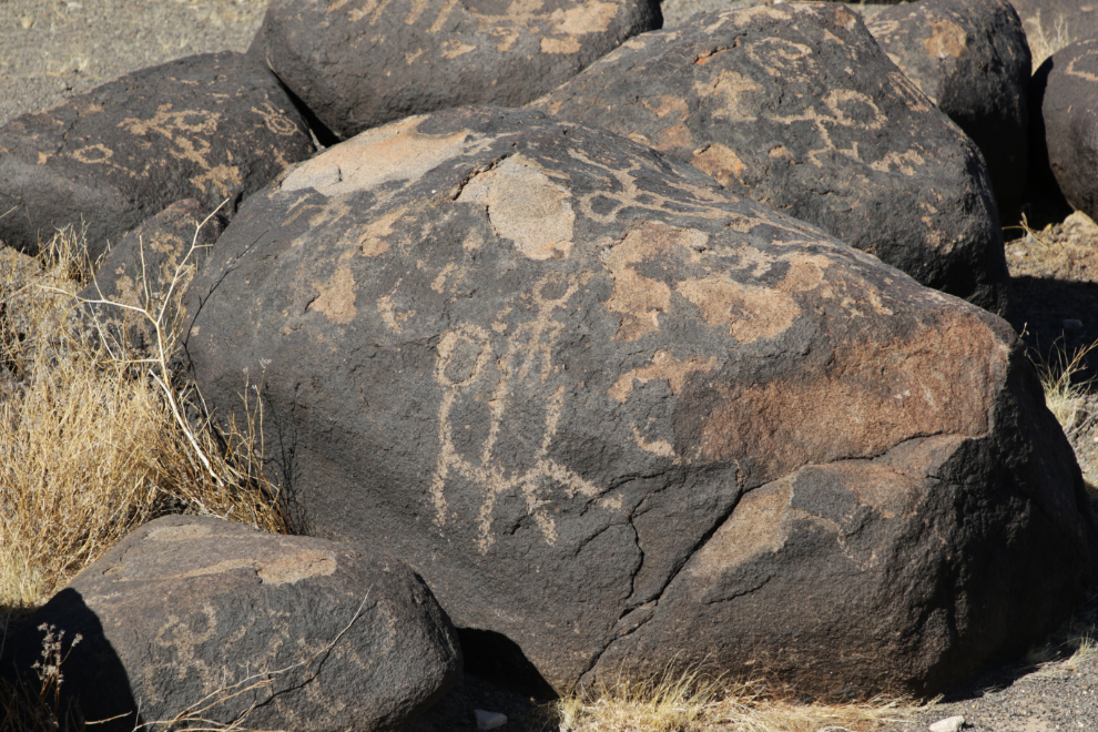
The BLM states: “There are also inscriptions made by people who passed through during historic times.” Although done in the same style as the others, this one looks like a man on horse to me, so may be one of those.
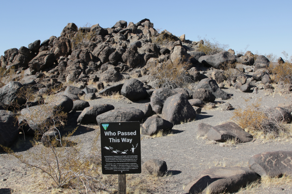
While the top of this sign looks like some interpretation will follow, it actually warns about the laws that protect this place. Probably a good way to get people’s attention.
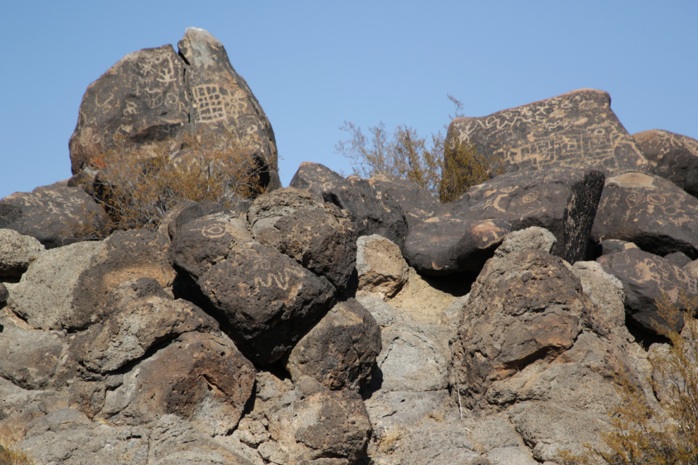
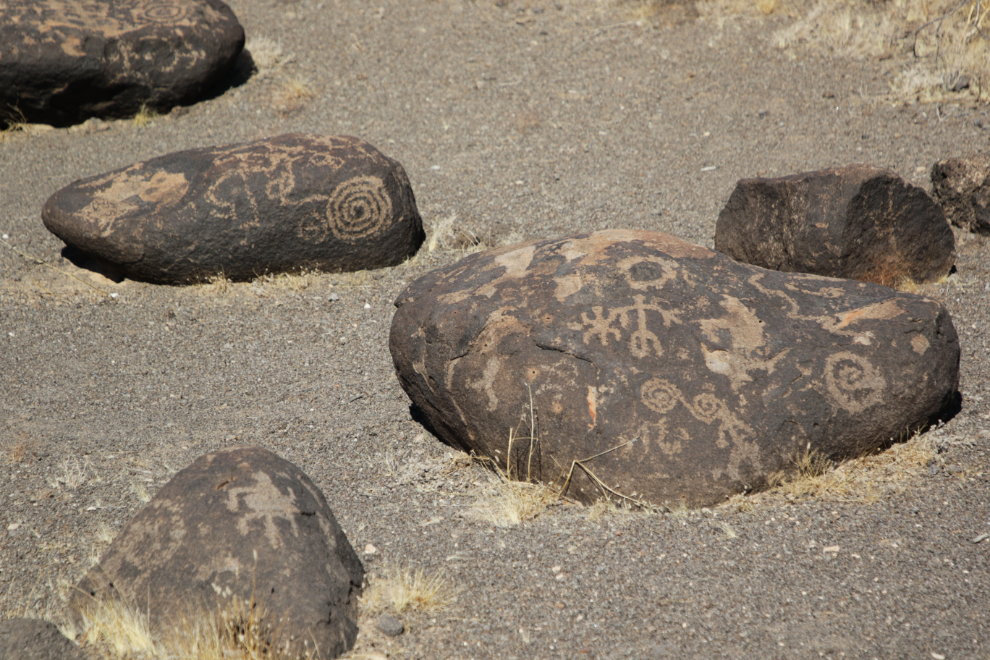
There are a huge number of carvings, and I noticed that most face south or southwest.
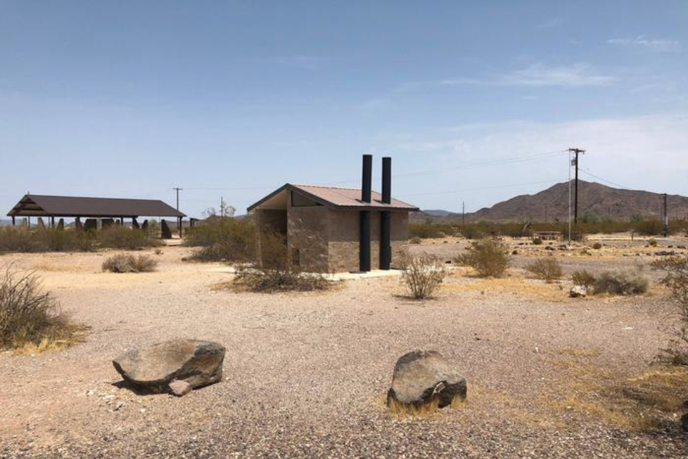
There is a campground at the park, and the fee per night is only $8. Toilet and picnic facilities located between the petroglyphs and the campground are very high quality.
Just before 1:30 we stopped for a short walk along Painted Rock Dam Road.
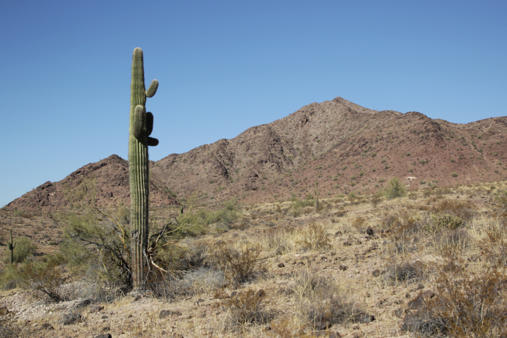
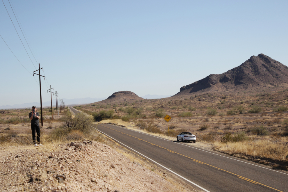
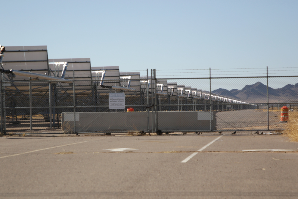
At the junction of Painted Rock Dam Road and Highway 8, Arizona Solar One has the largest solar array I’ve ever seen. From this spot it stretches over 3 km to the base of the mountains.
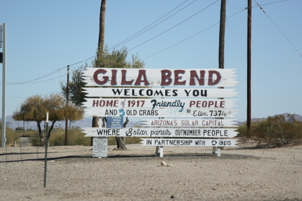
It was well past lunch time now, so instead of turning south on Highway 85 we made a short detour to Gila Bend, “home of 1917 friendly people and 5 old crabs.” 🙂
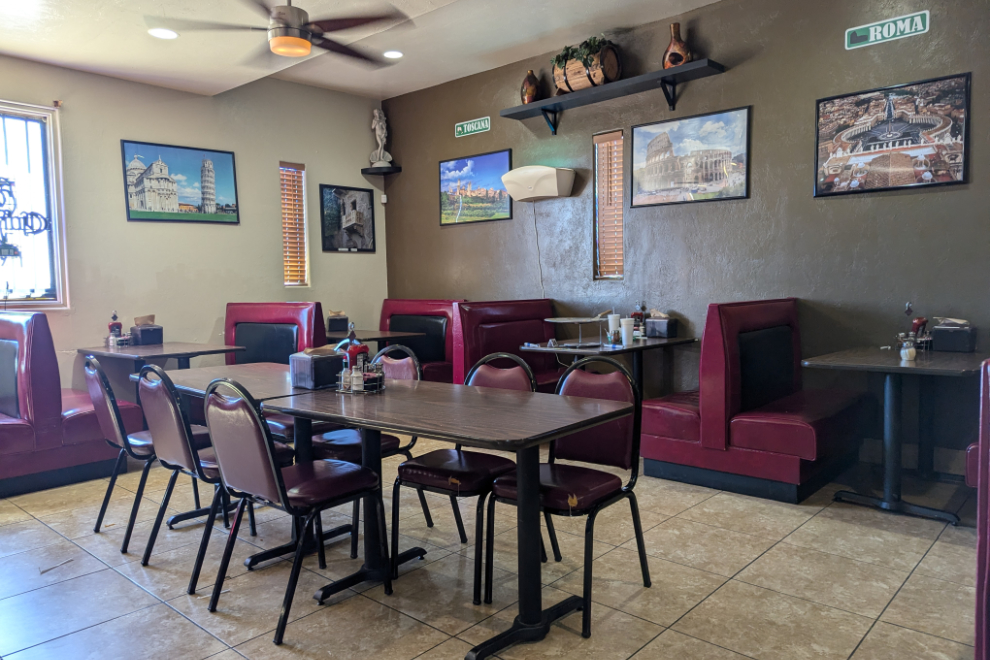
There aren’t many dining choices in Gila Bend – we chose Little Italy Pizza Italian Restaurant mostly because of the great reviews.
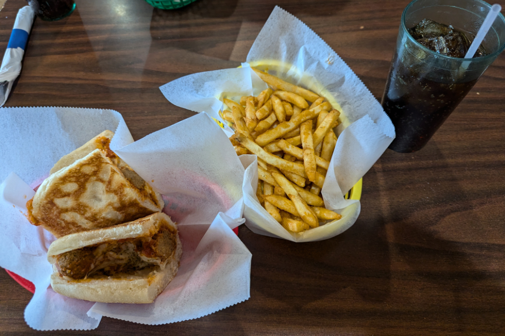
My meatball parmigiana was wonderful and large, for $11, plus $3 for the fries – there would be no need to look for a dinner spot in Ajo. They got another 5-star review at Google: “The food and service were exceptional – I was amazed by how fast our food arrived.”
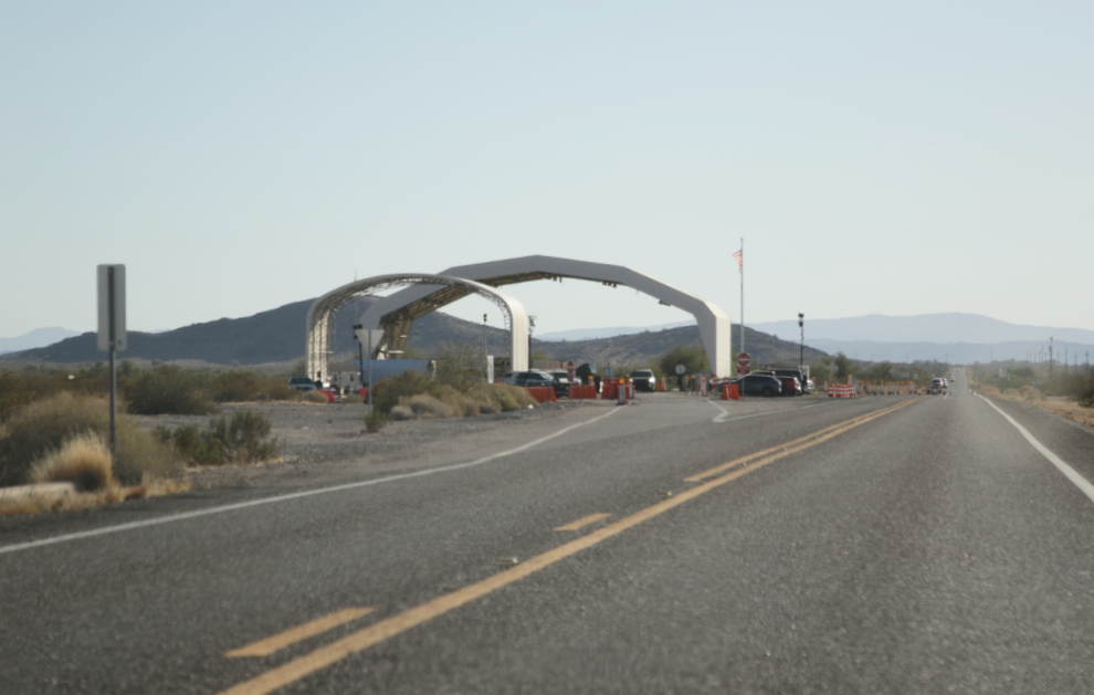
Heading south on Arizona Highway 85, we came to a border security check station for northbound traffic. We saw a few of these stations and passed quickly through one with just a glance by the officer during the 2-second stop.
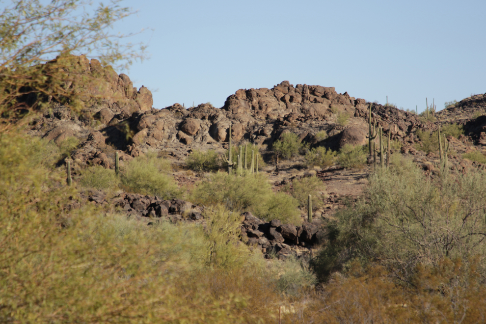
The view about 15 miles further south.
I had booked a room at the Sonoran Desert Inn, which is in the former Curley School, which is on the National Register of Historic Places. The check-in process is completely done by email – the place is hard to find, and the final email gave detailed directions, our room number (1110) and lock code, etc.
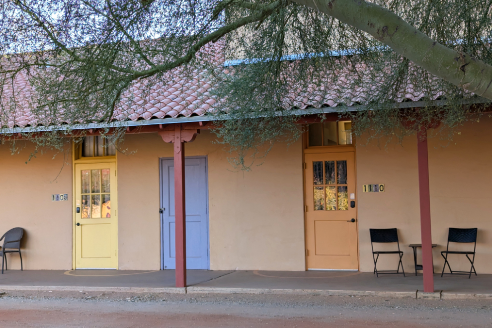
Our room was a classroom in the school. The 12-foot-high ceilings are impressive. Although the school looks like a Catholic residential school, I’ve found no indication that it actually was.
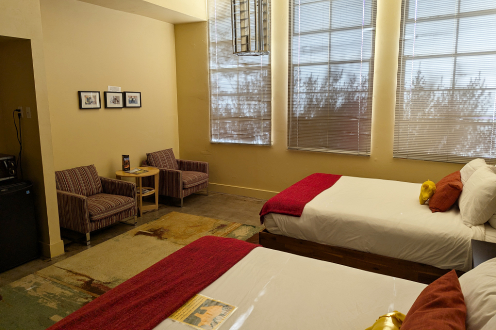
Our room was lovely. A view would have been nice, but it’s not that big a deal.
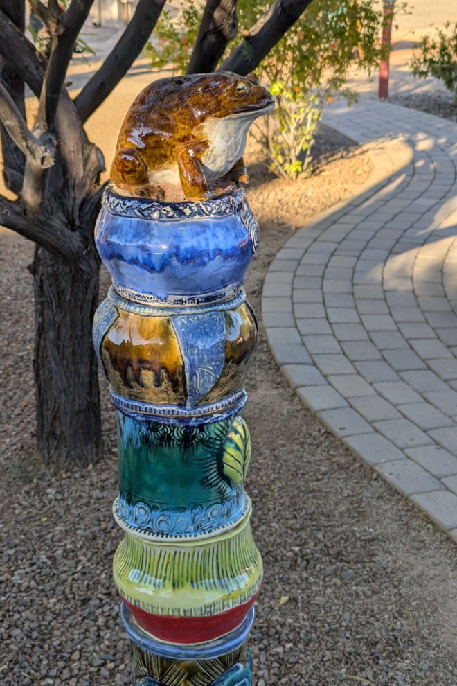
The very large courtyard had a path with gardens and some unique art.
Although we were rapidly running out of daylight, we found a 10.7-mile scenic loop right behind us, so wasted no time in getting back on the road. The pavement soon ended as we climbed, and we were then in the mountains surrounded by tall saguaros, ocotillos and a few organ pipe cactuses (Stenocereus thurberi), which are found only in this part of Arizona and in Mexico. The first photo on the loop was shot at 4:40.
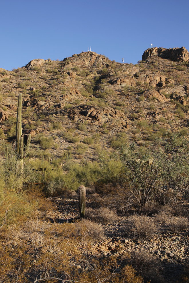
This drive was a great choice.
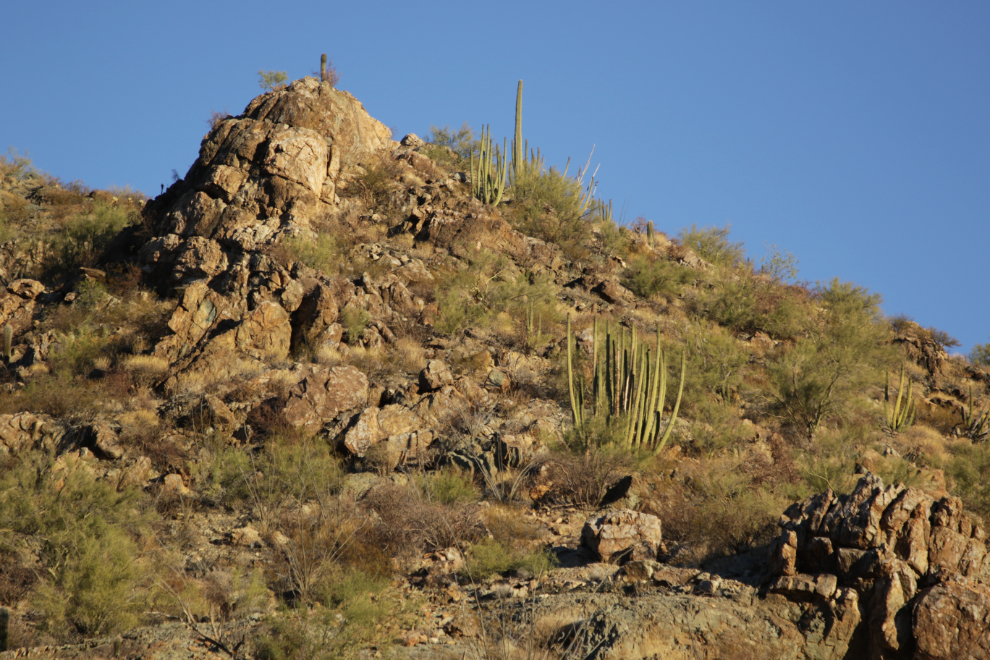
By 4:55 the light was spectacular.
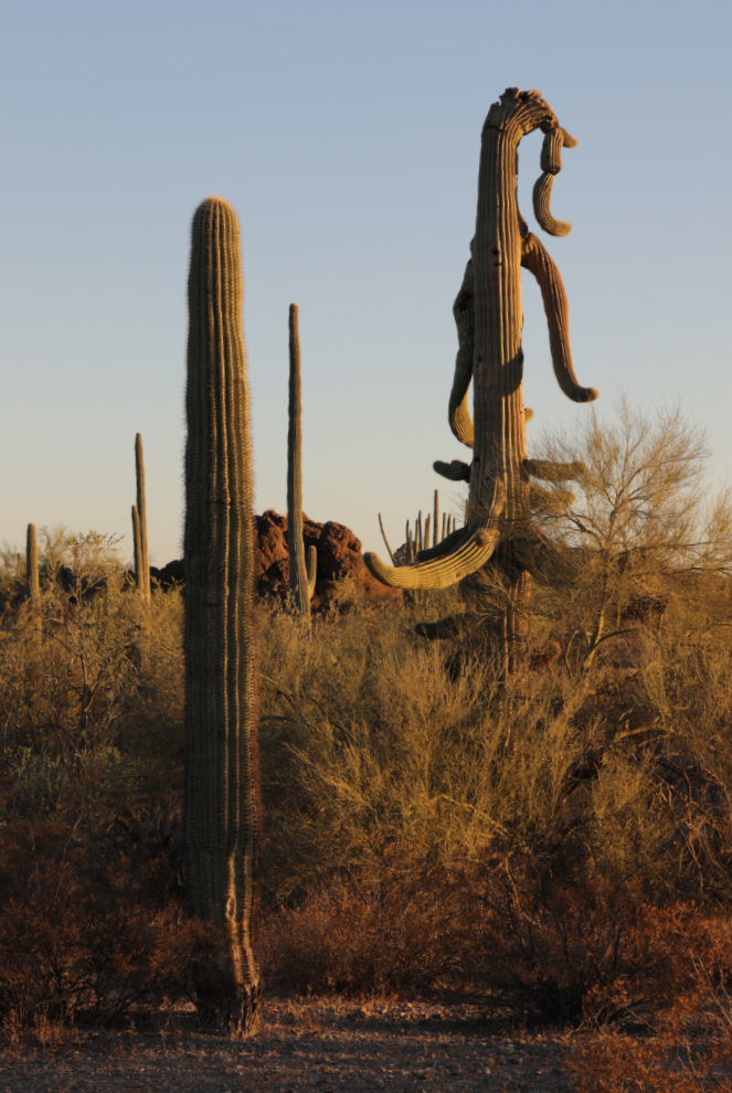
How’s that for an incredible cactus?! Part cactus, part dinosaur! We would learn the next day that it’s freezing temperatures that can do that to a saguaro, though we never saw another this extreme.
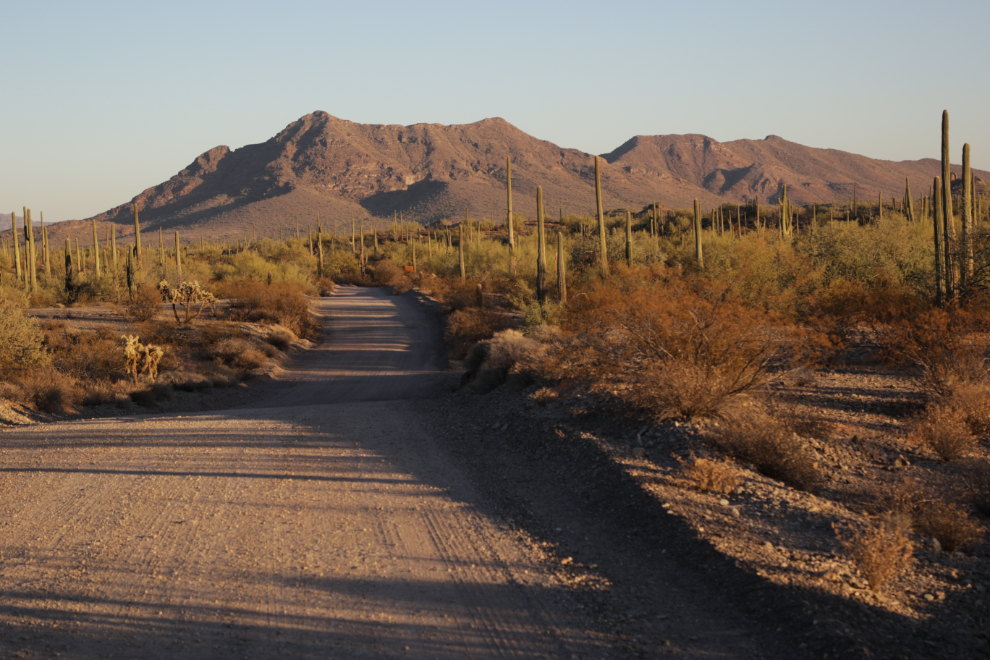
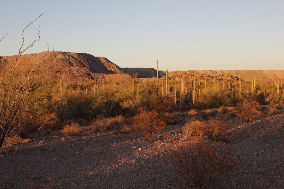
About halfway around the loop we came to the massive tailings piles of the New Cornelia Mine, the first open-pit mining operation in Arizona. “Smaller-scale operations began at the site in the early 1900s, and by one estimate, the mine produced more than 3 million tons of copper, along with smaller amounts of molybdenum, gold, silver and other minerals, before shutting down in the mid-1980s due to low copper prices. But if economic conditions change, the mine could become active again someday.” This final photo was shot at 5:09, 18 minutes before official sunset.
Before returning to the inn, we found a grocery and stocked up on snacks.
The next day we would continue on to Tucson. Despite returning to a city, this would turn out to be one of the best two days of the trip.