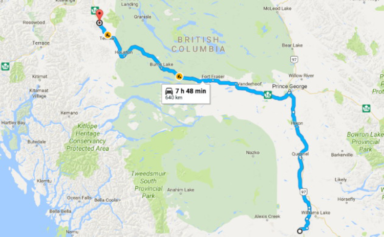
Driving from Farwell Canyon to Williams Lake and Smithers
I had been planning on driving to Bella Coola on Day 54, June 18th, but a forecast for rain and a nag that something wasn’t right stopped me, and I headed to Williams Lake and then north instead. I decided that Smithers would be a good destination, making it the longest driving day in several weeks.
Click here to open an interactive version of the map in a new window.
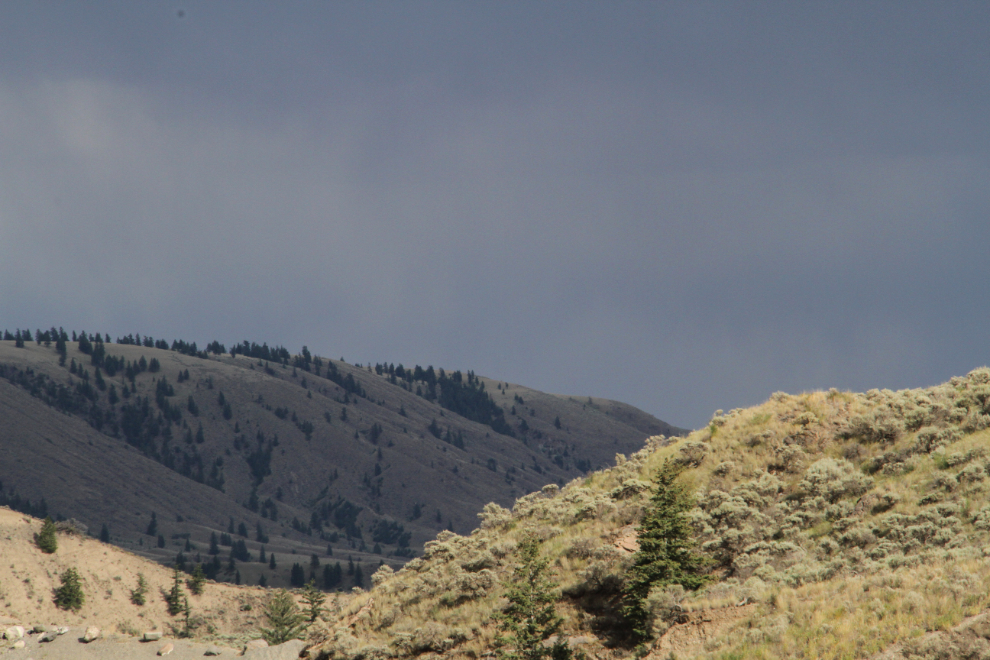
The morning began with some dramatic lighting sneaking through the clouds. I’d had lots of sunshine for my visit, so the timing for clouds was okay.
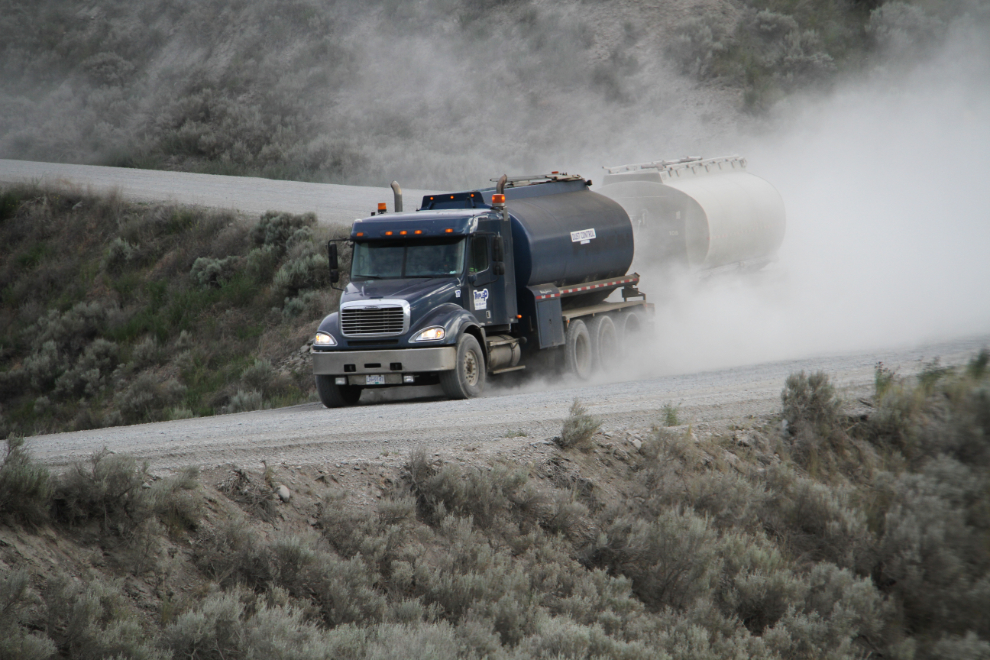
The sign on this truck going by simply said “DUST CONTROL”. You had one job, son… 🙂
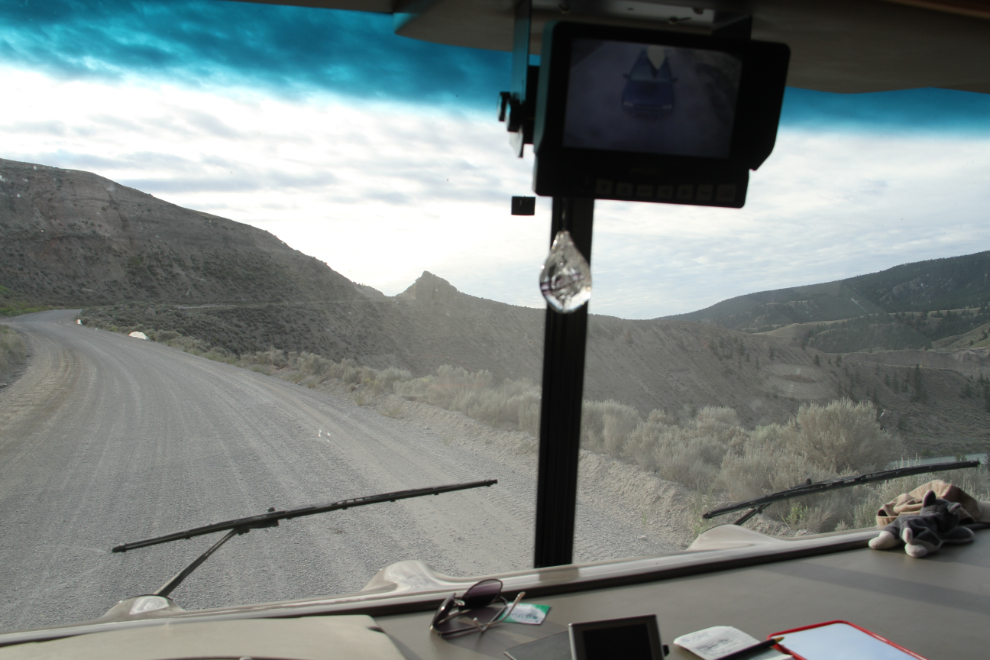
It was going to be a long day, and we were away very early – here we’re climbing out at 07:10.
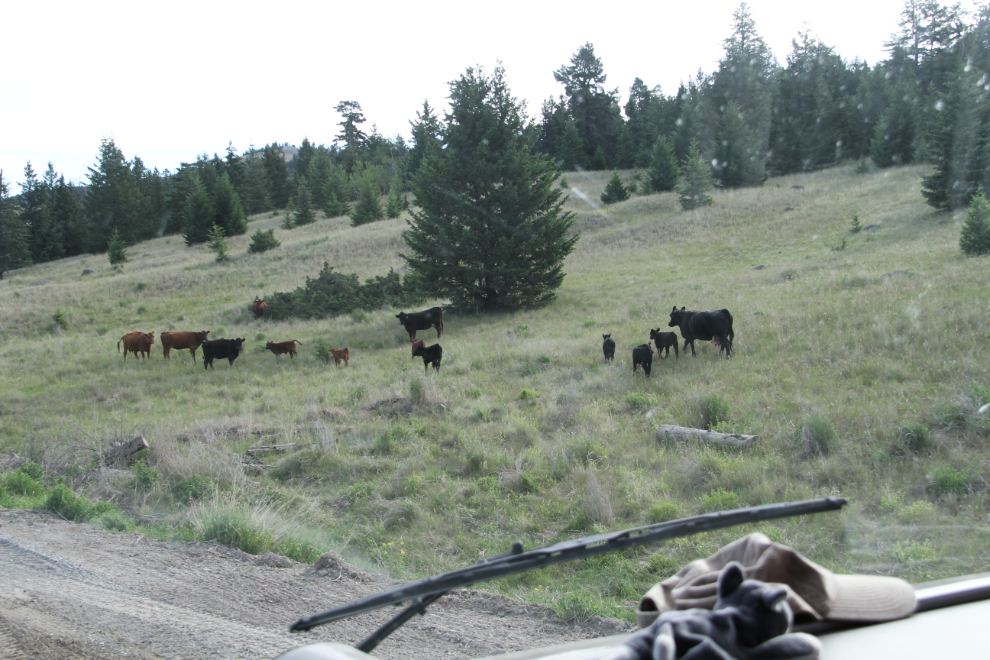
The past couple of years, we’ve seen lots of cows, but these were the first we’d seen this year despite a lot more driving and hiking in the area. They didn’t like us stopping, so it was a very short photo stop.
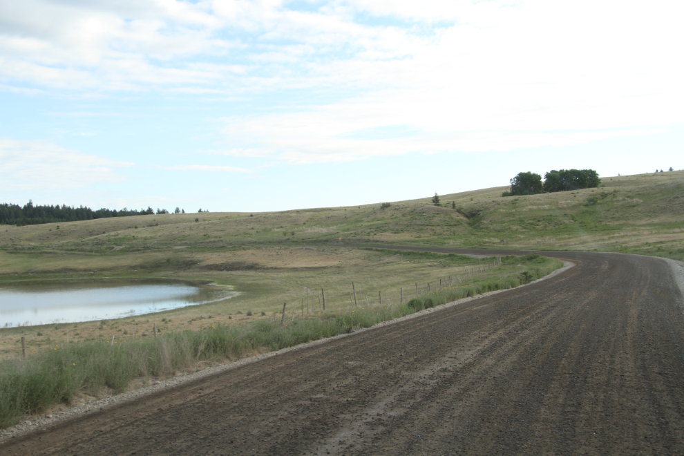
There aren’t many ponds/lakes in this country.
Starting the gradual drop back down to Highway 20, the Bella Coola Road.
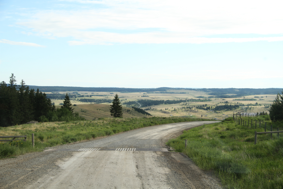
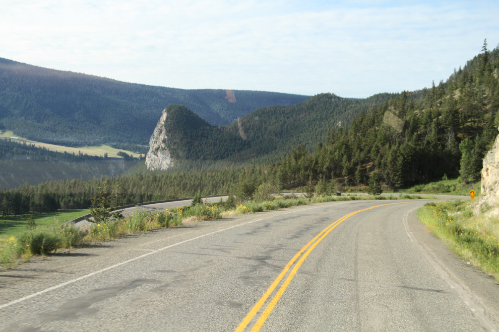
There is some wonderful scenery on the drive east to Williams Lake. That’s the Doc English Bluff Ecological Reserve ahead – I hiked up to the top 2 years ago (great view!).
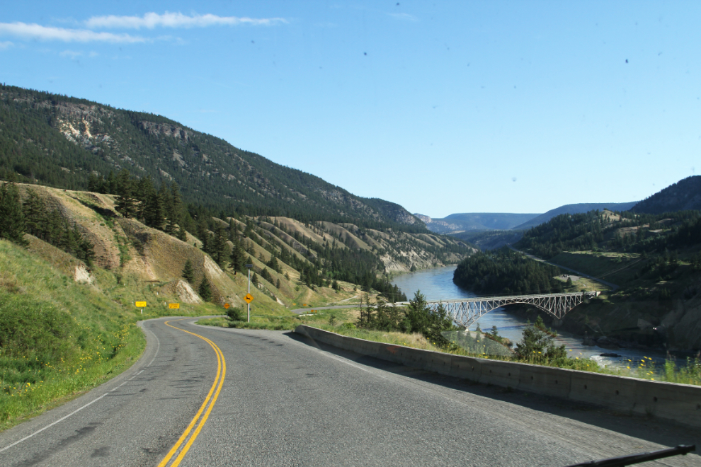
Highway 20 crosses the Fraser River.
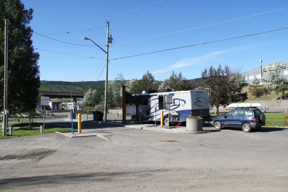
I had a few projects to take care of in Williams Lake. First, empty and fill various tanks in the motorhome. Williams Lake has the best community RV sani-station I’ve seen, and it’s free (it’s at the Stampede grounds)
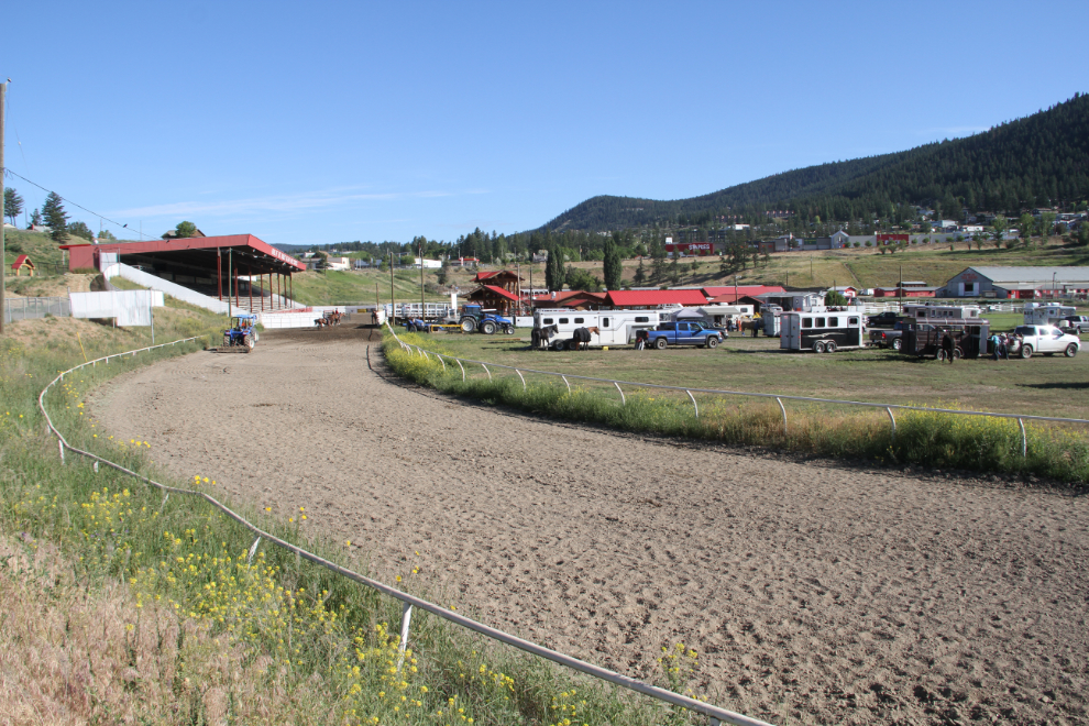
Preparations were underway for the big event of the year, the famous Williams Lake Stampede.
Then, I needed both power and wifi to charge my laptop and get some blog posts loaded. The gorgeous Visitor Centre had what I needed. Williams Lake is one of the most big-rig-RV-friendly communities I’ve been to. It’s really frustrating to not be able to even park near a Visitor Centre much less at it, but Williams Lake has lots of room there, a really nice community RV park, the excellent free sani-dump, large parking lots at some of the parks…
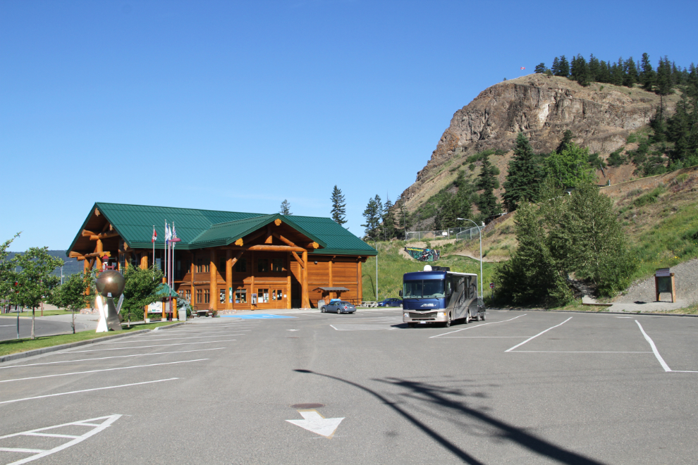
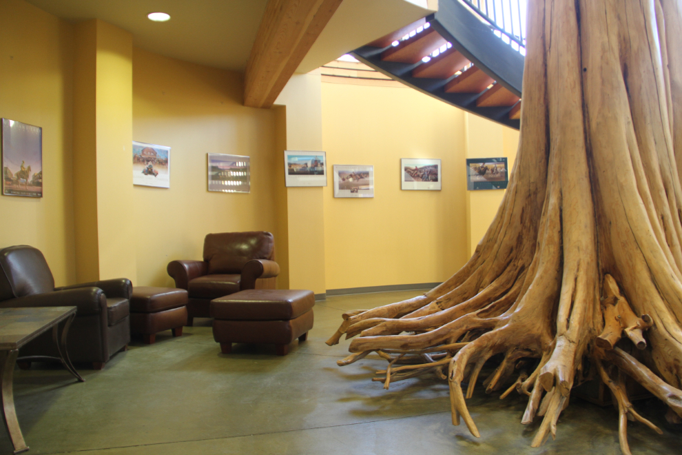
I spent an hour in this very comfortable space on the lower level of the Visitor Centre, and got all charged up and caught up.
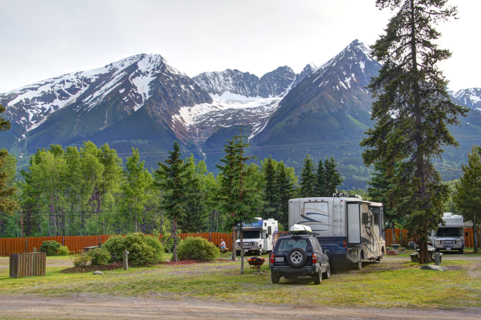
I pulled away from the Williams Lake Visitor Centre just after 10:00, and the next photo I shot was at 7:00 pm, after I’d gotten set up at the Glacier View RV Park in Smithers. I had lots to see and do in Smithers – foremost was climbing to that glacier on Hudson Bay Mountain ahead.