Backroads exploring into Junction Sheep Range Provincial Park
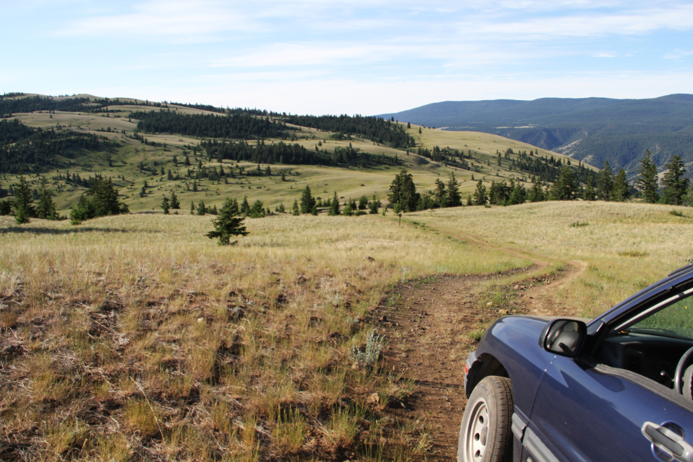
While boondocking at Farwell Canyon for 3 days, the dogs and I took the morning of Day 53, June 17th, to explore Junction Sheep Range Provincial Park, located above Farwell Canyon at the junction of the Fraser and Chilcotin Rivers. Access to the park is officially described as “difficult, via rough 4 x 4 dirt roads through private ranchlands”, and other warnings are added, including “Carry chains and a shovel, even in summer.” A friend had taken me in with her car in 2015, but there were a few places where I feared for her oilpan – the Tracker is much more suitable for these roads.
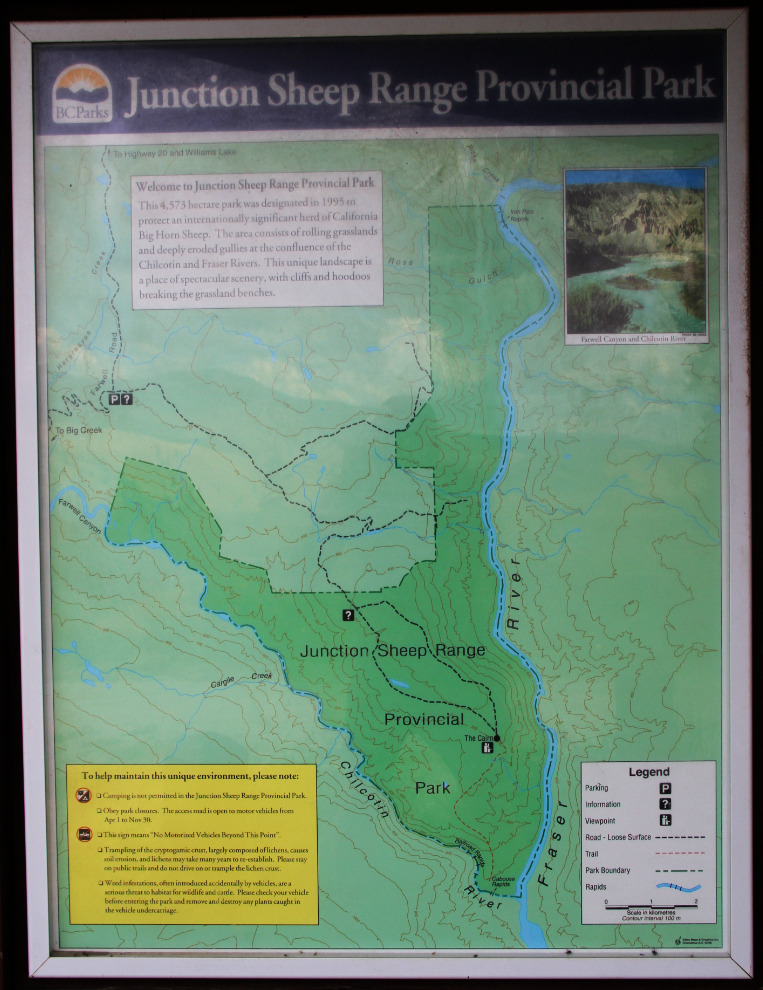
The park, which is 4,774 hectares (18.4 square miles) in size, was designated in 1995, primarily to protect an internationally significant herd of California bighorn sheep. A basic network of roads provide access to a couple of distant scenic points in the park. On the map, a “cairn” is noted, and I made a mental note that it’s reached by taking the right fork at each road junction.
I had a full day planned, and we got off to a very early start, starting on the 4×4 road at 07:30. Although it’s possible to see California bighorn sheep and mule deer in the park, the relatively undisturbed natural grasslands were enough to draw me in. Any wildlife would simply be a bonus.
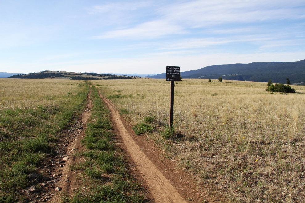
Occasional signs remind visitors: “Private property. Vehicles permitted on access roads only.”
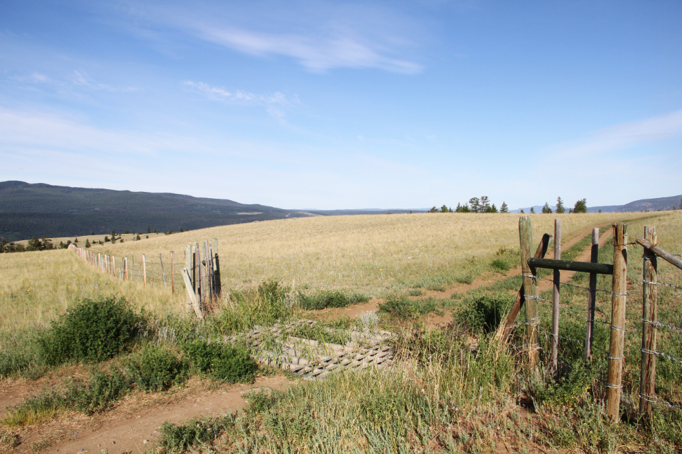
There are a couple of cattle guards to bump across on the ranch property.
I try to imagine what the first ranchers to discover this country 130-odd years ago would have thought about it. The fact that some stayed is probably a good indication. As harsh as the climate can be, it has a delicate beauty. And it’s not just the beauty that’s delicate – the park Web site warns that “Trampling of the cryptogamic crust, largely composed of lichens, causes soil erosion, and lichens may take many years to re-establish. Please stay on public trails and do not drive on or trample the lichen crust.” I had to Google “cryptogamic crust” – it’s “a thin crust made up of mosses, lichens, algae, and bacteria” that are collectively referred to as cryptogams.
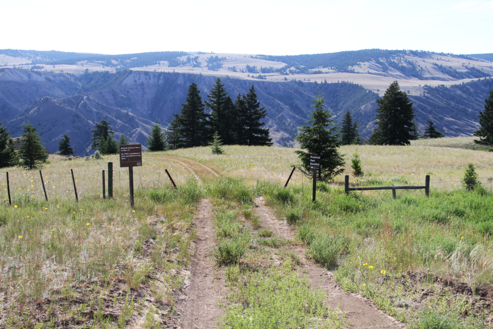
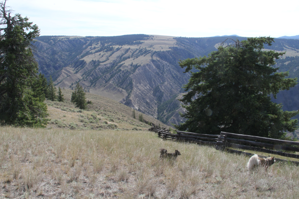
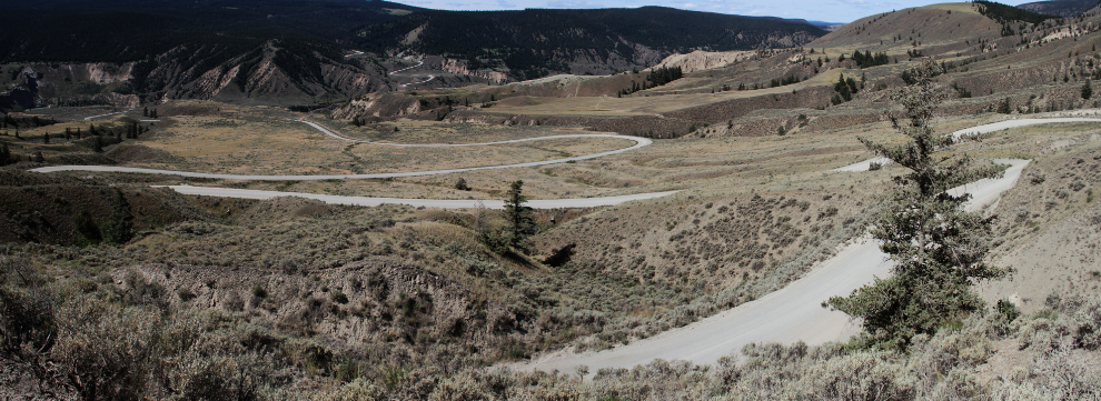
Before going to the distant cairn, I drove to a viewpoint over the Fraser River that Sharon had taken me to in 2015. It’s at the eastern edge of the park, about halfway between the north and south boundaries. The next photo shows the actual entry into the park from the private ranchlands, 9.2 km from the start of the 4×4 road.
Looking down the Fraser River.
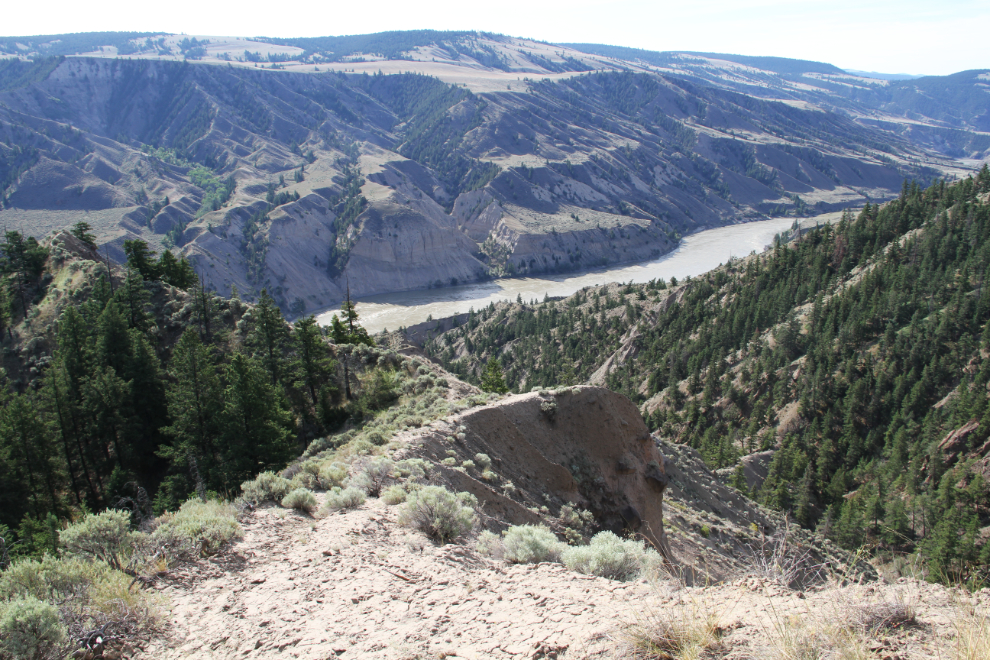
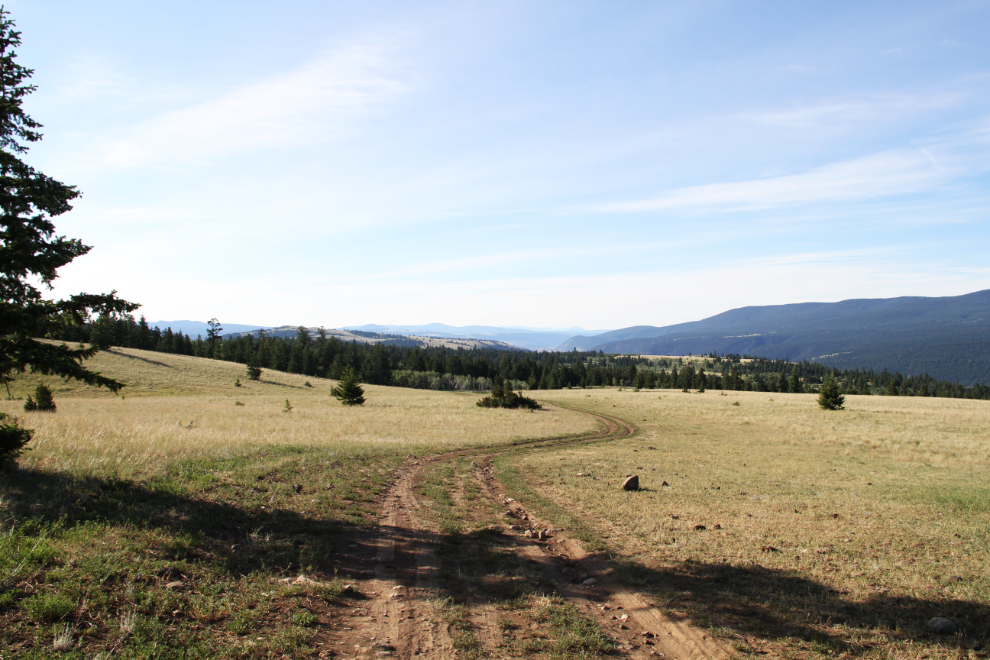
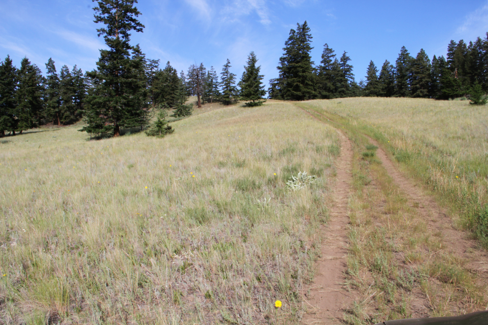
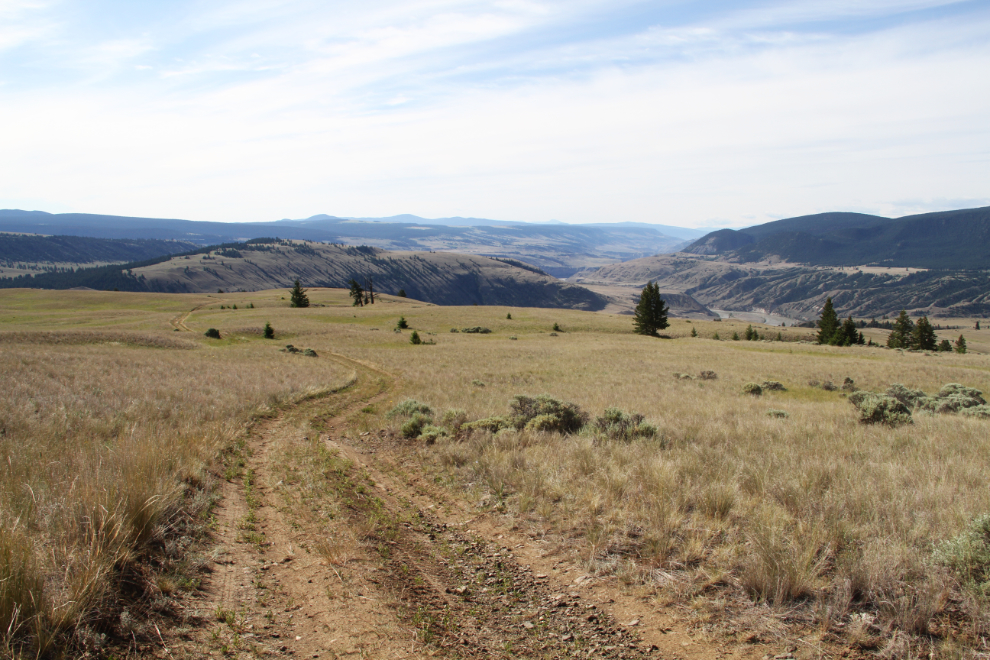
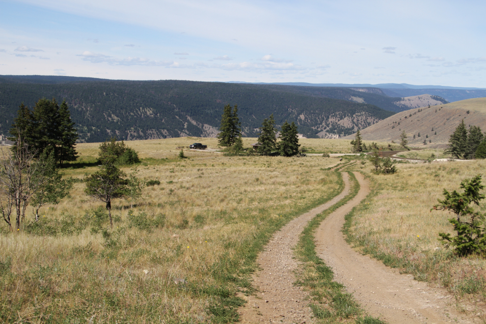
The viewpoint is the end of this access road, 9.9 km from the start of the 4×4 road. You can get an idea by the “road” of how few visitors this park gets.
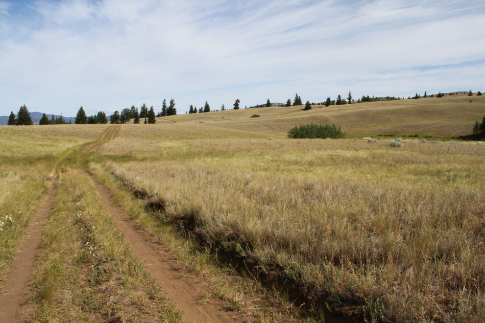
It’s a steep climb up from the viewpoint…
…and then the road wanders up and down across grasslands and through mixed forests, of pine and apsen primarily.
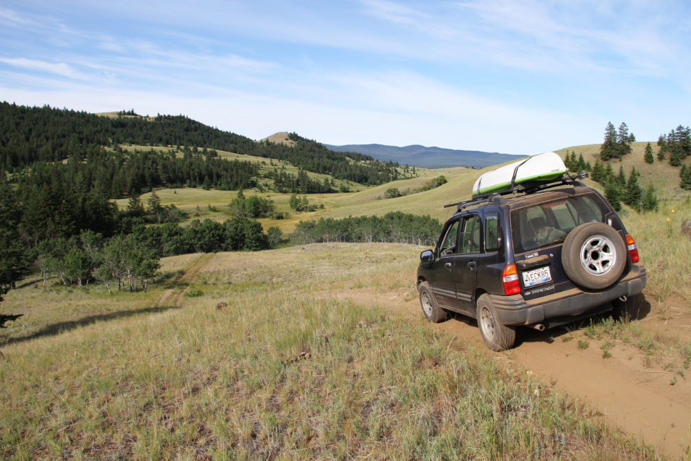
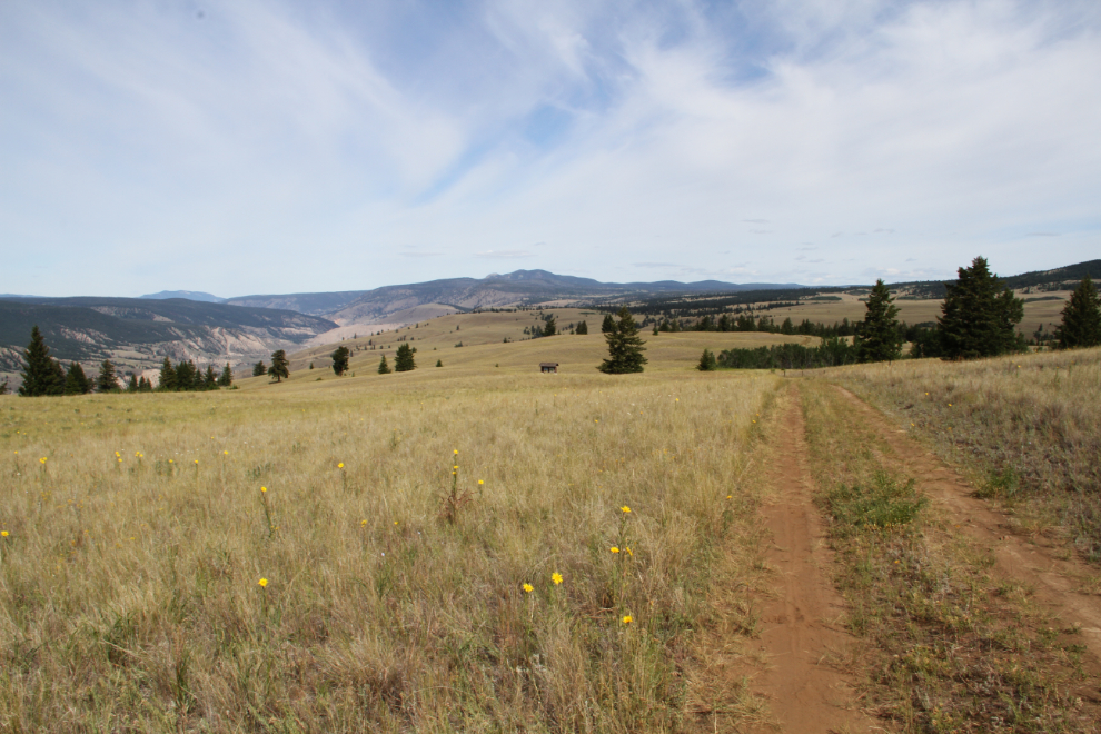
I had just driven towards the camera from the viewpoint, and was now taking the right-hand road to get to the cairn. I now had 12.1 km on the odometer.
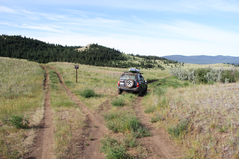
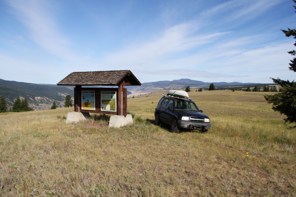
With 14.9 km on the odometer, we crossed back into the park, and a few hundred meters beyond, came to these interpretive panels about the park and its inhabitants.
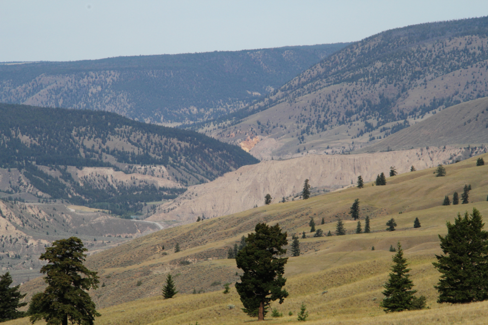
The Chilcotin River can be seen in the distance on the right, the Fraser River is hidden ahead.
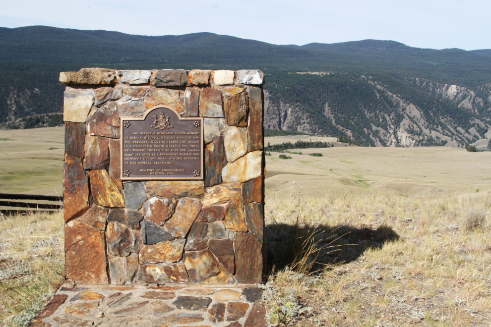
At the end of the road, with 20.3 km on the odometer, this is the cairn marked on the map. On it, “This plaque is dedicated to the memory of Harold Mitchell, Wildlife Biologist, and Wes Prediger, Wildlife Technician, killed in a helicopter crash March 2, 1981. These men worked tirelessly to have the ‘junction range’ set aside as a permanent habitat for California Bighorn sheep, historic residents of this natural grassland. Ministry of Environment, October 1982.”
Looking down on the Fraser River.
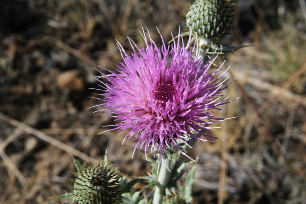
A few dots of colours were provided by various flowers, including a few widely-dispersed Scotch thistles.
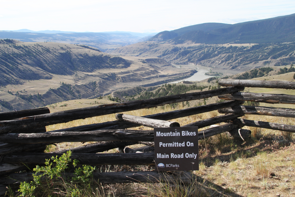
We walked along the rail fence for a bit to see how far it goes. A long way… 🙂
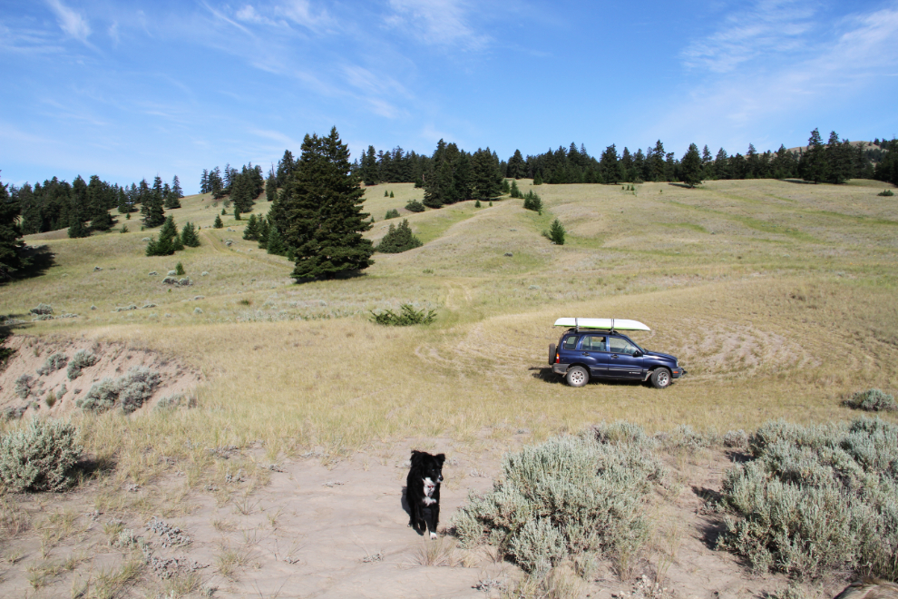
I stopped often, to just shut the car off, get out and savour this land. Bella and Tucker thought that was a great way to travel.
When a tree falls across the road, it’s not really a problem in much of this country.
A few more dots of colour.
That’s Farwell Canyon in the centre.
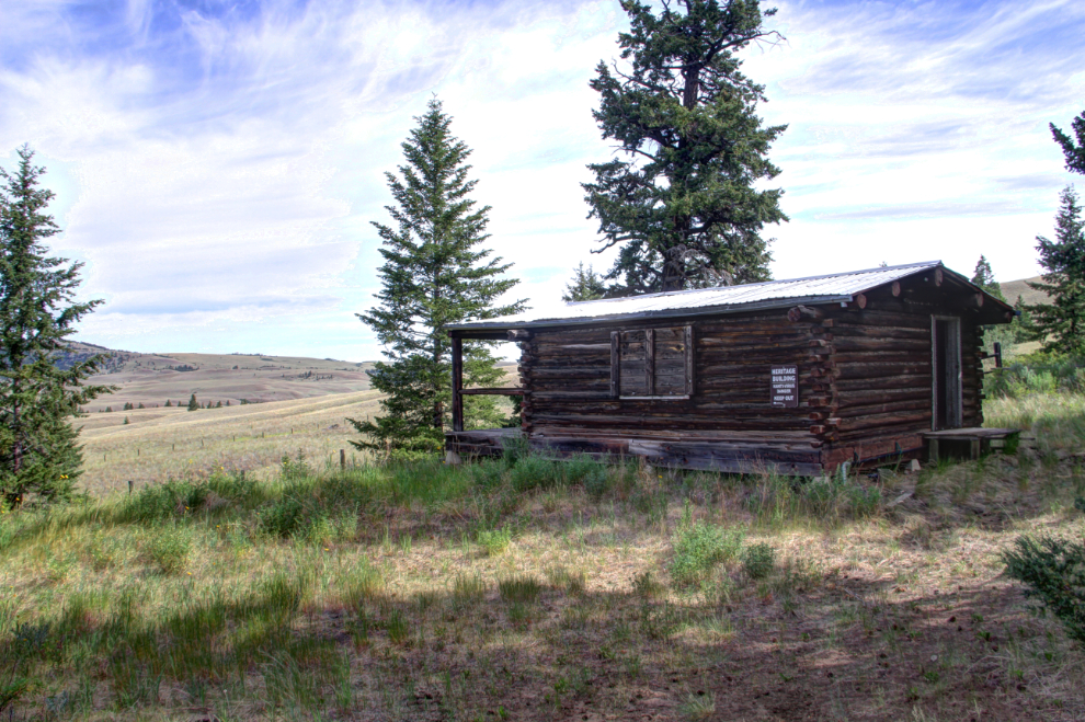
Both of the log cabins at what appears to have been a wildlife study station have signs on them: “Heritage building. Hanta-virus danger. Keep out.” That’s one of the more effective “no trespassing” signs I’ve seen!
Almost back to the interpretive panels and the start of the road system, at 10:15. I put 34.5 km (24.3 mi) on the Tracker in 2¾ hours. It was an extremely fine way to start the day off.
Heading back to the motorhome to drop Bella and Tucker off before hiking into the desert, which I described in the last post.
The next day, we’d make one of the longest drives of the trip (the longest in several weeks), to Smithers.