Driving the Cabot Trail from from Cheticamp to Ingonish
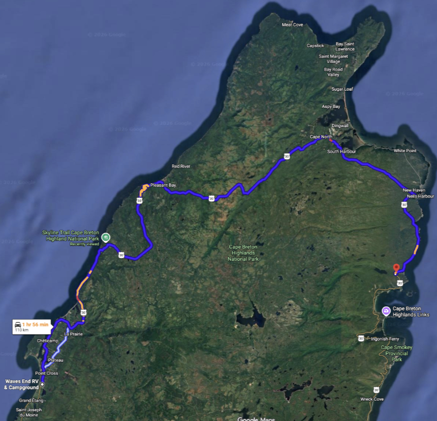
On Sunday, July 5th, Day 38 of our trip and the 6th day in Nova Scotia, we drove 110 km of the Cabot Trail from Chéticamp to Ingonish, and I hiked the 8.2-km Skyline Trail in Cape Breton Highlands National Park. Telling you about the whole day quickly became too long a post, so I’ve separated them.
The weather didn’t look good at all for a day with both a drive and a hike that are often termed iconic, but as the trip was nearly over our previous flexibility to wait a day had been exhausted. Our two nights at the Waves End RV Park had worked out very well for us – it’s an excellent property that we give top marks to.
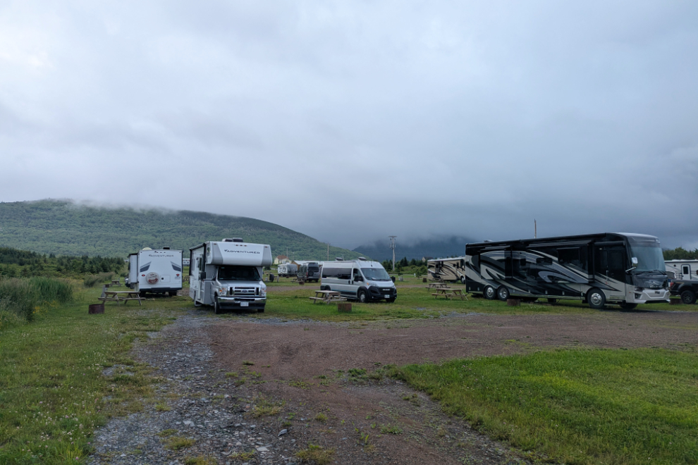
Cathy cooked a hearty breakfast to fuel me up for a 9-km hike that could well be in the rain.

I’ll start the drive with a map. Click here to open an interactive version in a new window – it can be fun to use Streetview to see some sections.
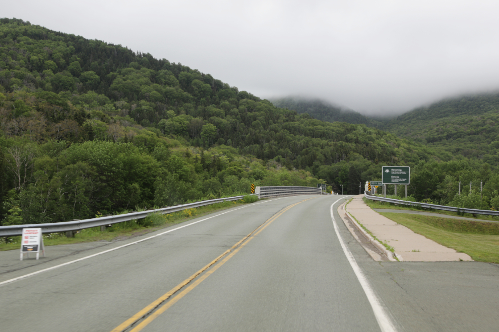
As we crossed the bridge over the Chéticamp River at 09:23, we entered Cape Breton Highlands National Park.
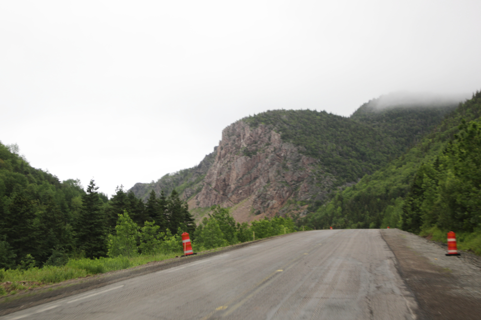
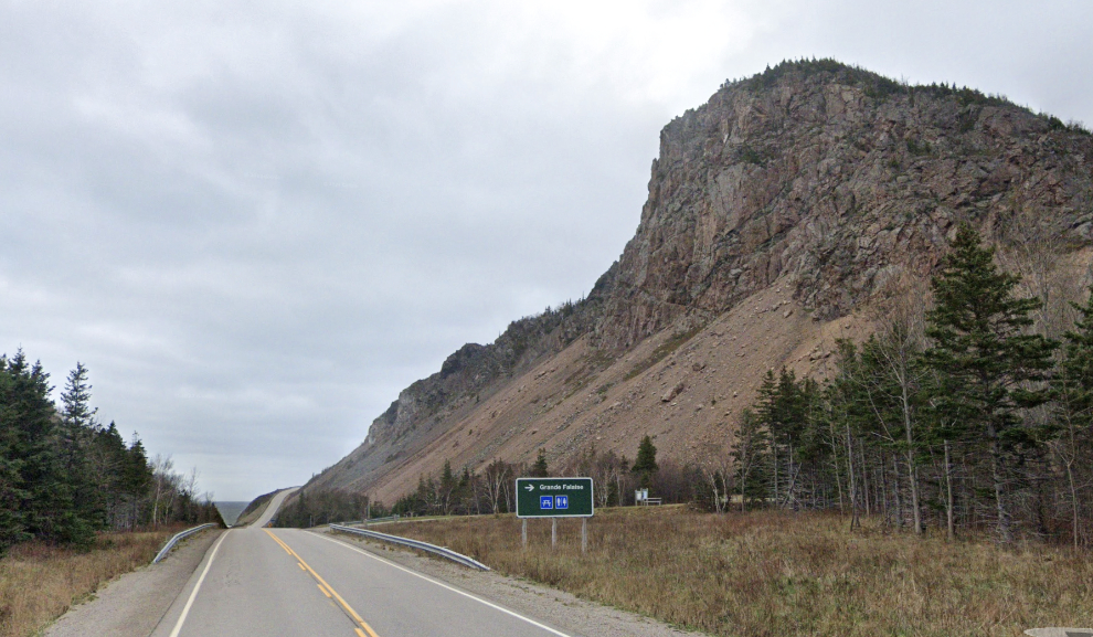
Grande Falaise (“Great Cliff”) is the first really dramatic scene. Streetview gives a good look at it.
There were so many places I wanted to stop!!
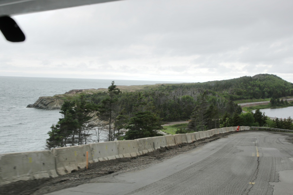
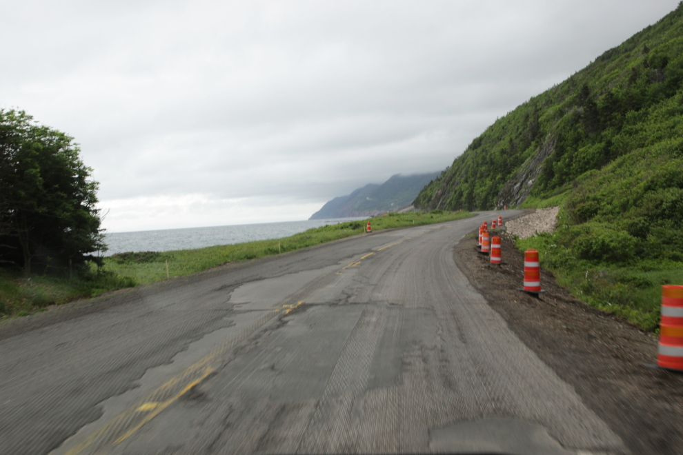
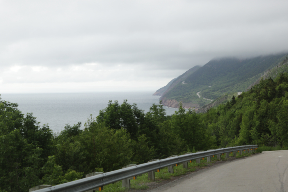
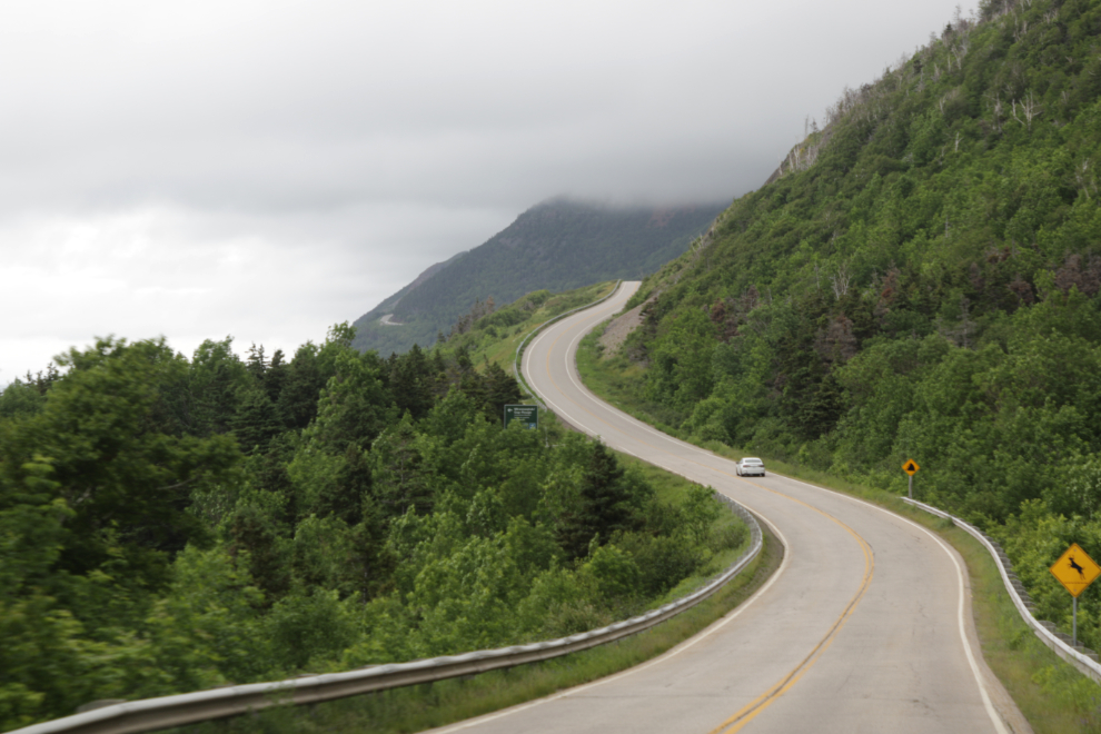
Many of the “poster” photos of the Cabot Trail are shot from the air. Cathy captured one of if not the best photo from road level. You can see the Km 94 signpost ahead – that’s Km 94 of Route 30, which begins at Buckwheat Corner, seen in the photo below this one. The square blue “Cabot Trail” sign can be seen just to the left of centre in that photo.
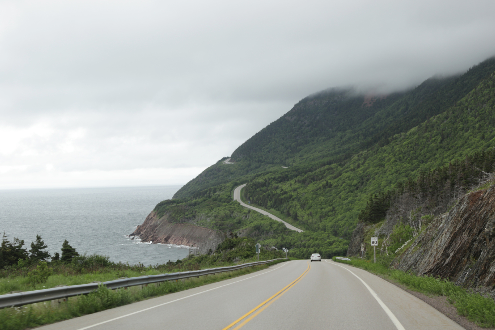
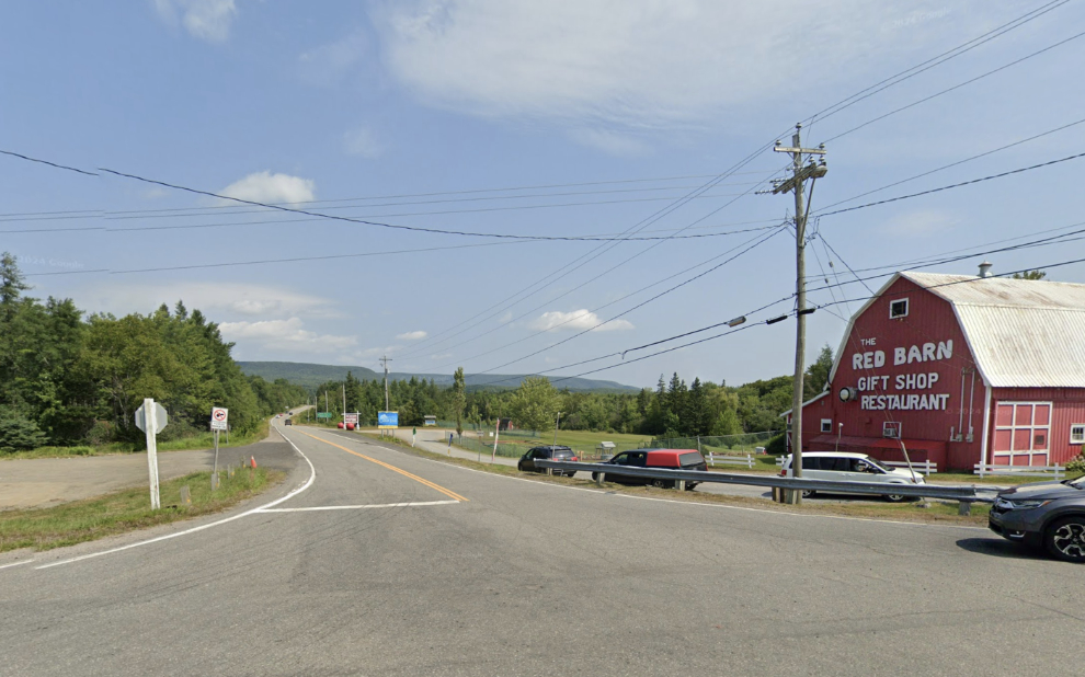
It amazes me that nobody has written a mile-by-mile guide to the Cabot Trail – it’s extremely difficult to find details about anything. There are some very steep sections – some people report 17%, even 18%. Even if you find the information that the climbs or descents are steep at Cape Smokey, North Mountain, French Mountain, and MacKenzie Mountain, without knowing where they are, that information is useless.
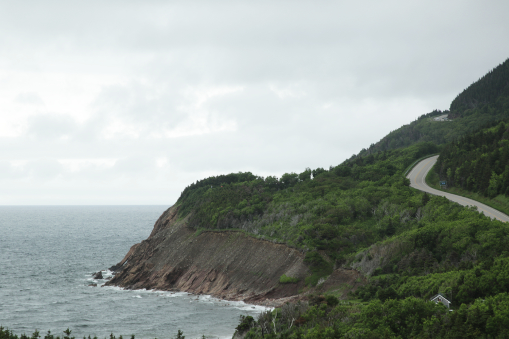
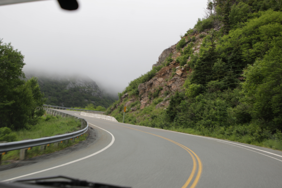
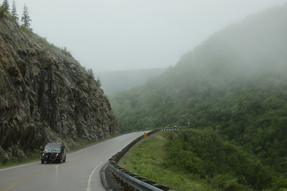
Just 15 minutes after crossing the Chéticamp River, we went into the clouds/fog. I’ve posted the photos chronologically, and that’s only about 1/3 of the photos that Cathy shot through the windshield in that 15 minutes. If I was on an ebike so could take photos wherever I wanted, I’d probably have 100 already 🙂
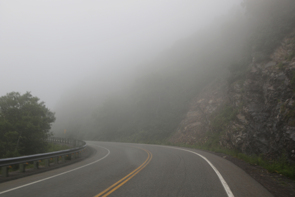
It started raining about half an hour before I finished the hike, and got heavier and heavier. Cathy shot the next photo at 1:22 as we were going downhill, continuing on our way to the Broad Cove Campground near Ingonish.
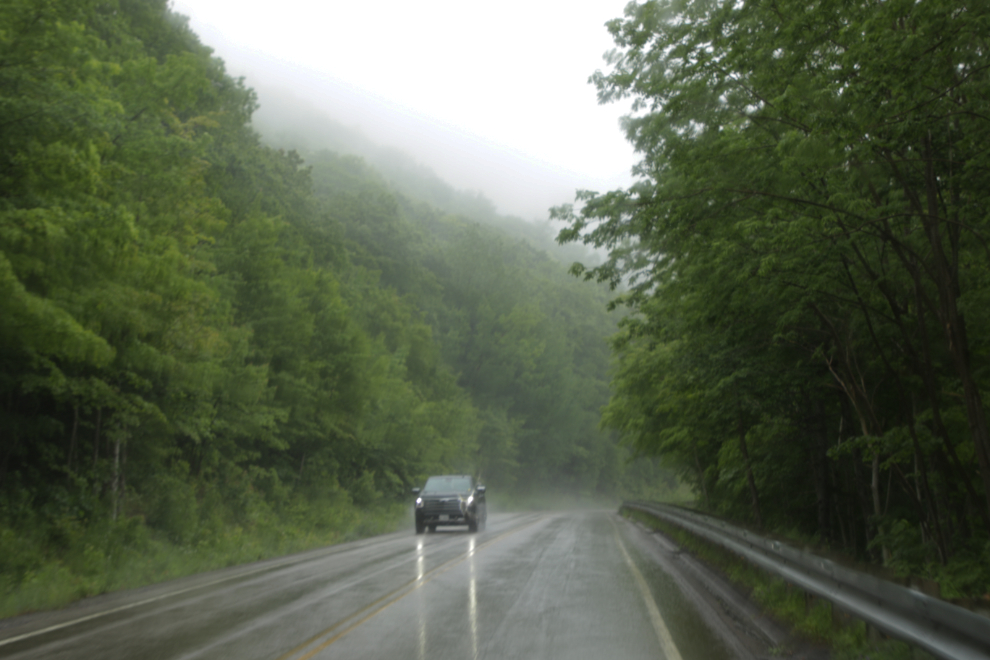
The rain didn’t last very long, and didn’t really detract from the experience anyway.
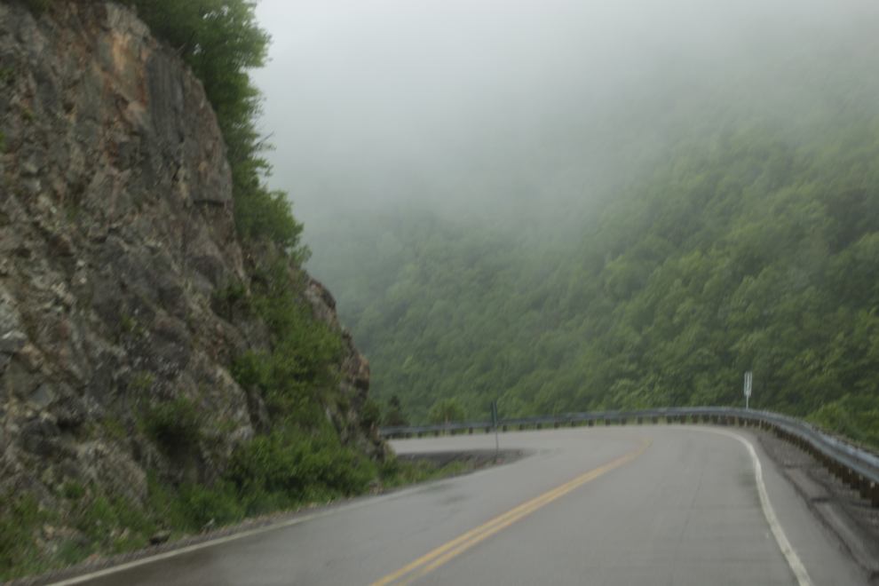
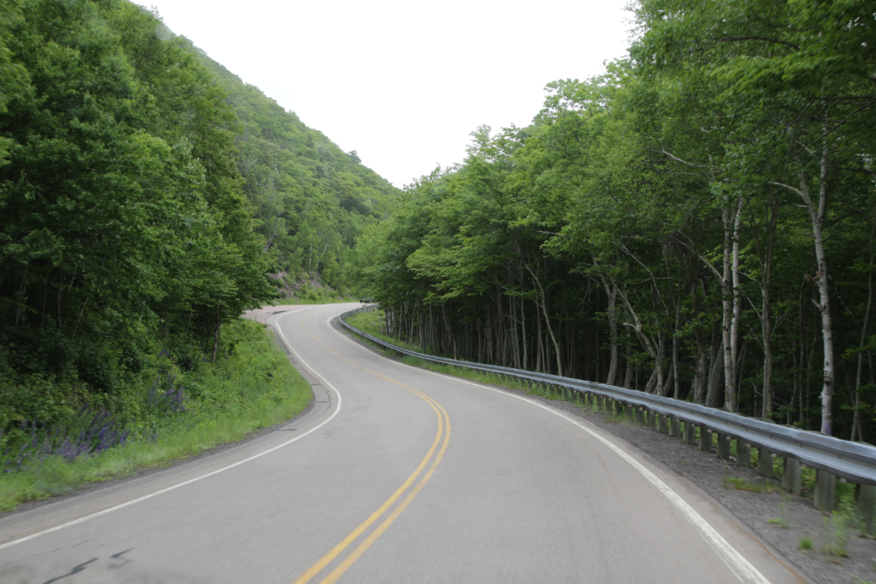
There were a few pullouts/viewpoints (there’s one ahead on the right), but though they were easy to access going this direction I wasn’t inspired to stop at any.
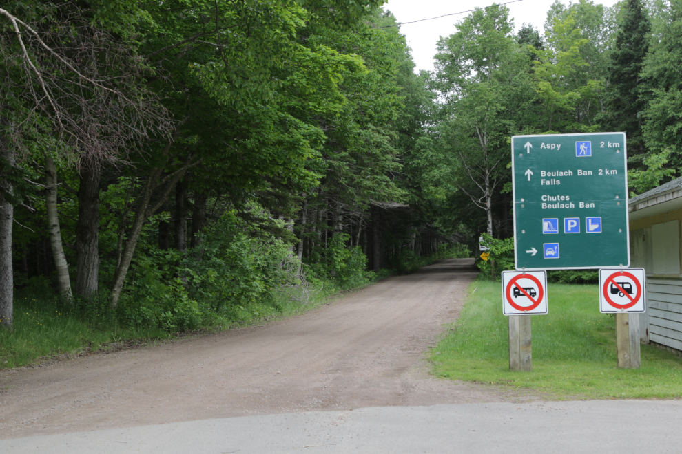
A sign for Beulach Ban Falls prompted a stop, but “No RVs” and a 4-km walk ended that thought.
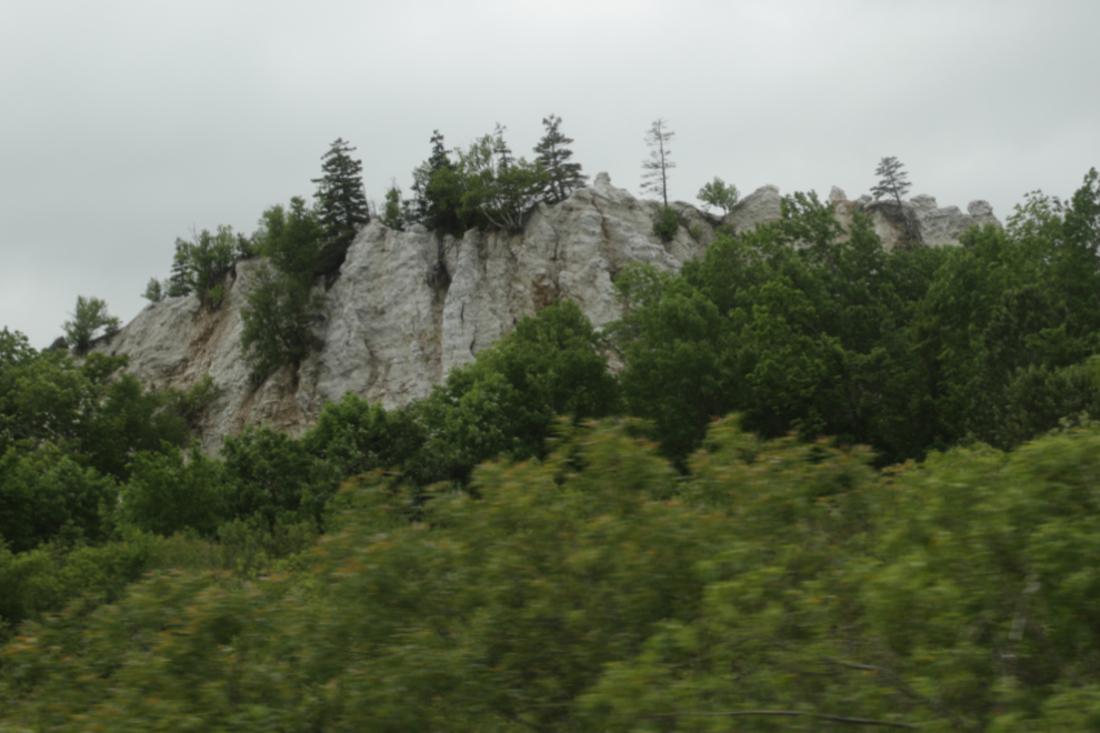
These cool limestone cliffs brought the camera up, and a viewpoint there would have got me to stop to check them out.
An hour after leaving the Skyline Trail, we were back at the sea. Dingwall, probably straight ahead in this photo, somehow didn’t make it onto our “places to stop” list, but should have.
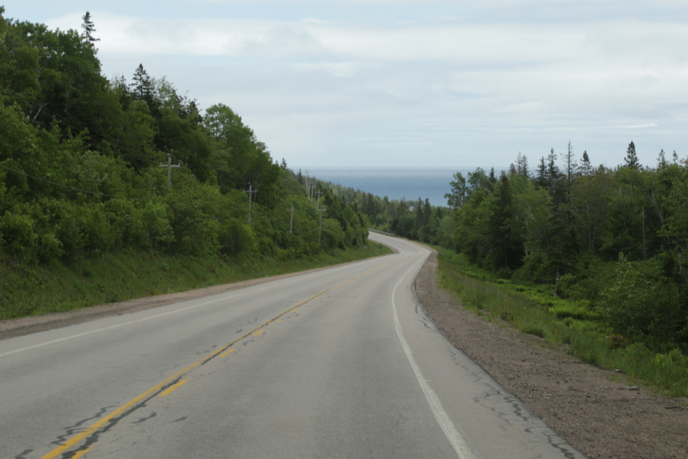
Along the shore there were again endless photo ops.
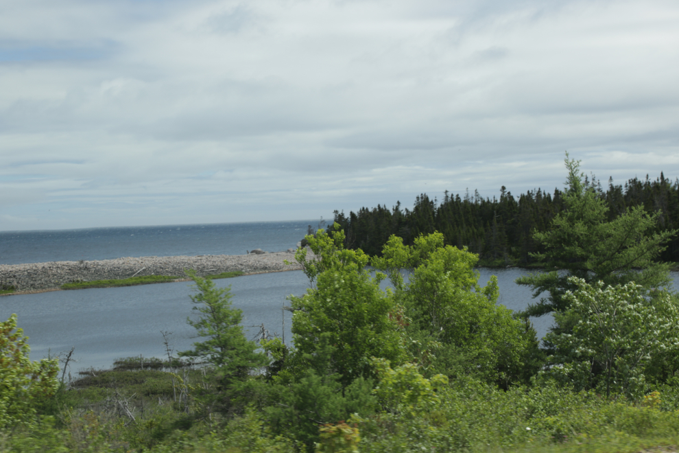
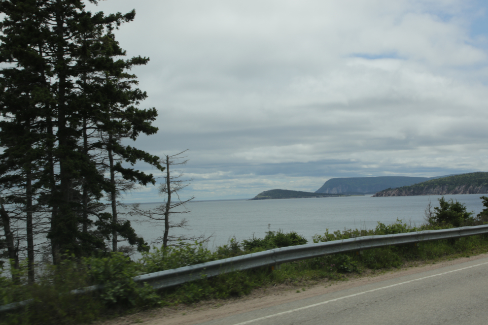
At 2:18 our destination – the beach at Broad Cove Campground – came into view. A few years ago, we wouldn’t think of stopping mid-afternoon, but our realities are different now and we can either accept that and do what we can, or stay home.
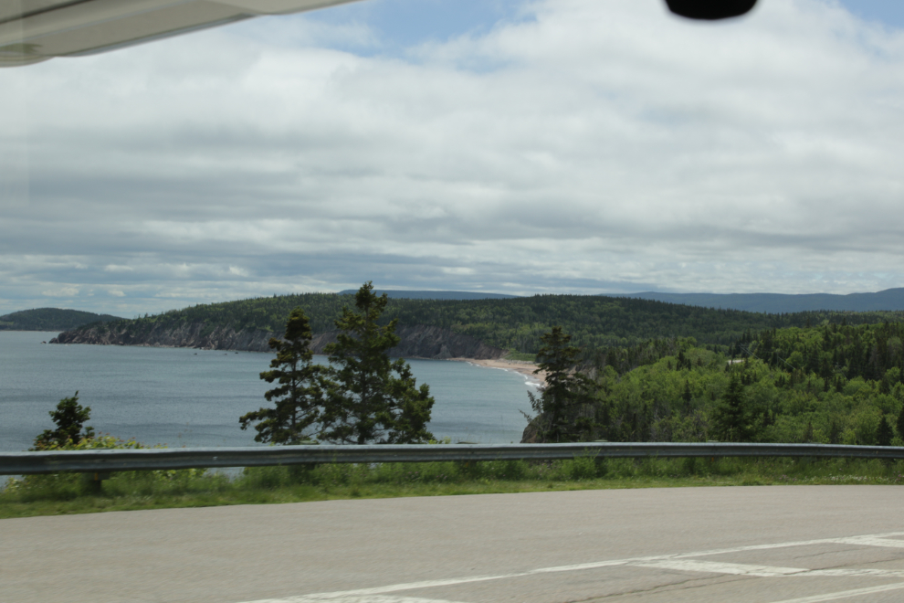
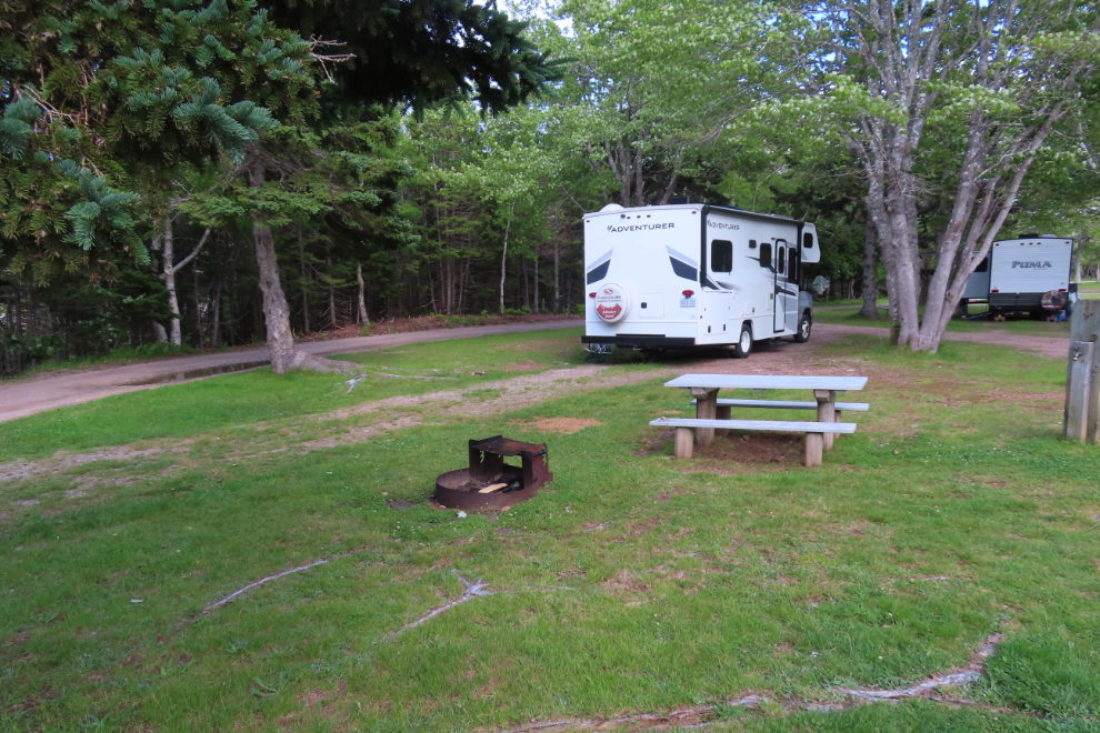
Broad Cove is a Parks Canada campground so of course gets top marks in every category. Our site was a huge pull-through, serviced site. Although we had booked two nights, we changed it to one to split up the final drive to Halifax better.
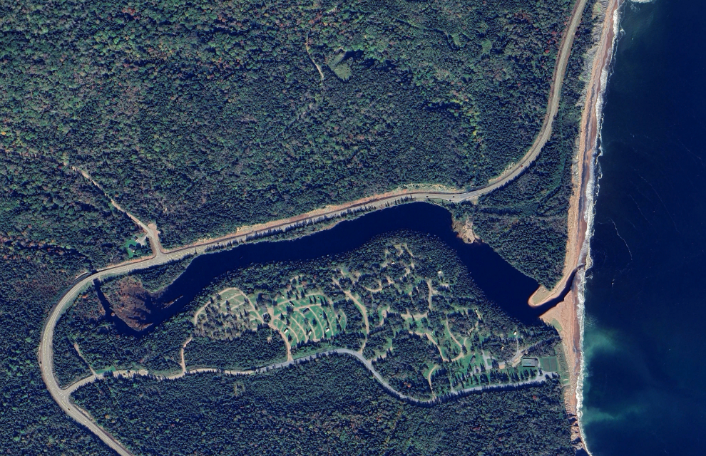
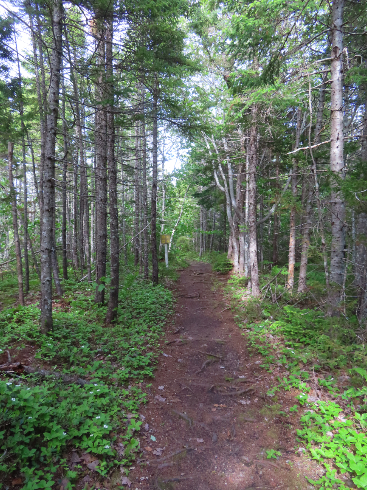
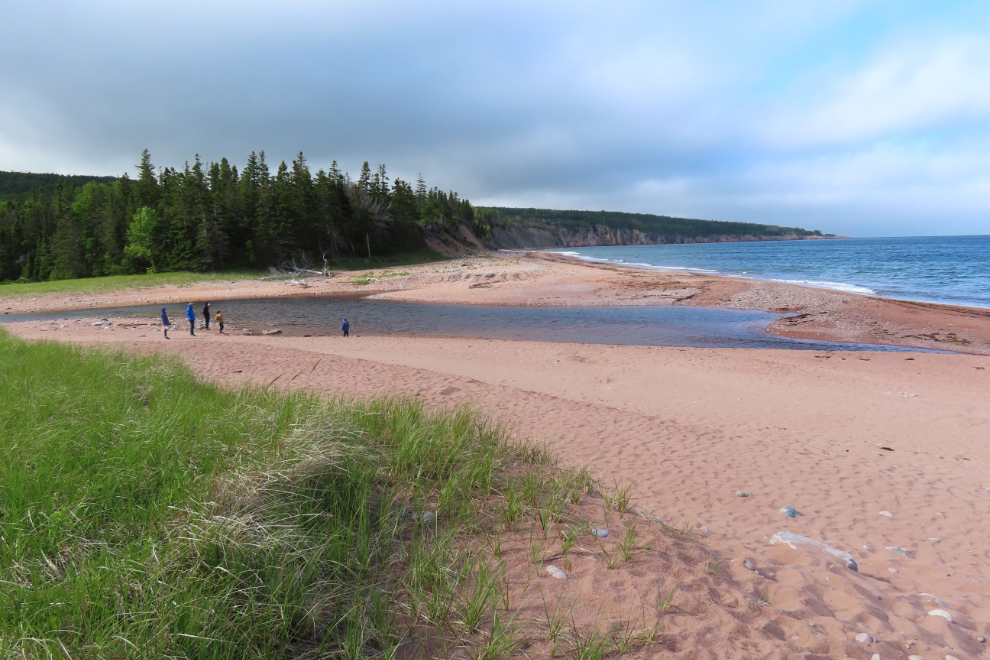
A nice trail through the forest leads to the sandy beach, which is about 1½ kilometers long. From our site the beach was about 800 meters.
The next post will take us back to the Skyline Trail.

About The Author
