Discovering Waterton Lakes National Park, Alberta
Our next destination after Crowsnest Pass was Waterton Lakes National Park. Although I generally title my posts “exploring…”, Waterton was more significantly a discovery – our discovery of a park we knew very little about, but is now, for both Cathy and I, our favourite national park. For a park to take that title away from Jasper in Cathy’s mind says a lot about Waterton. This post has 49 photos that I hope will give you an idea of why, and the next post will be about a boat tour in the park.
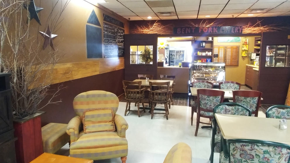
We left Coleman just after noon, and decided to stop for a restaurant lunch somewhere along the way. That didn’t happen until we stopped at Pincher Creek for groceries, at the Co-op in the Ranchland Mall. Inside the mall is the Bent Fork Eatery, and the cozy country decor invited us in. We started by having a long chat with one of the owners, Susan Casey-Turner, who was having lunch herself. The Bent Fork has only been open for a few months, and hearing Susan’s story was a really interesting way to start our lunch. After ordering our food, we also got into a long chat with Susan’s husband, Kevin Turner, and heard more of the stories that can be read in the Pincher Creek Echo. Regardless of how friendly the owners and staff are, it’s the food that makes or breaks a restaurant, and ours was exceptional (I had a burger, and a large piece of home-made cheesecake for dessert). We got lucky and missed the lunch rush which has lineups out the door, but even if we hit one of those lineups next time, we’ll be stopping again.
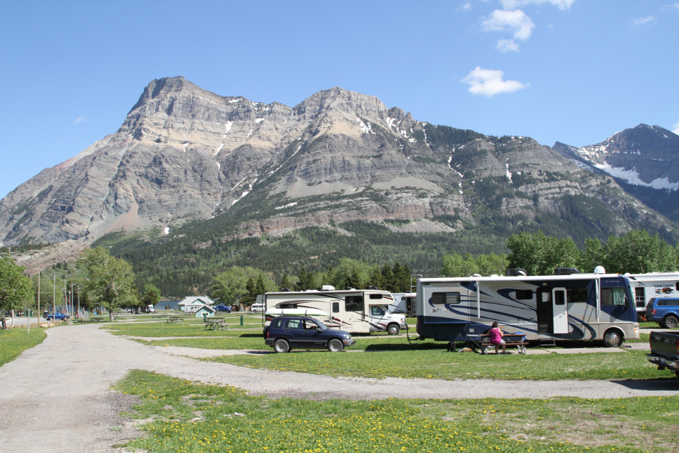
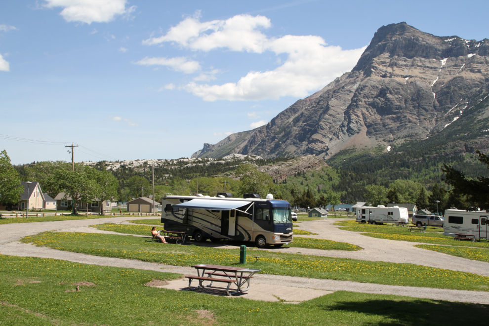
We arrived at the Townsite Campground in Waterton at about 3:30 pm on Day 30 of our trip – Friday, May 25th. We had reserved campsite #A5, one of the 90 fully-serviced sites, for 3 nights, but had no plans for the park except to take the famous boat tour. The weather when we arrived was perfect, with the temperature at about 24°C/75°F even though we were at an elevation of 1,290 meters (4,232 feet), and I was quite stunned by the beauty of our surroundings.
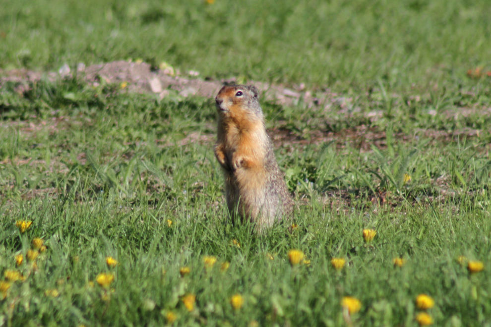
Our first discovery was Columbian ground squirrels (Urocitellus columbianus). They prefer areas with short grass, so the campground is perfect, and at least a dozen had burrows within 100 feet of us.
Both Bella and Tucker went crazy over the squirrels, totally forgetting pretty much all of their training when we were within sight of a ground squirrel. They were always on leash, and the ground squirrels seemed to be very confident that they were safe.

We had a calm evening, doing little but sitting at our campsite marvelling at the peaks, with a few dog walks around the campground and down to Upper Waterton Lake. Overnight, rain arrived, and Saturday became our second rain day of the trip. We didn’t mind the excuse to slow down, and the clouds were high enough that our amazing views weren’t diminished.
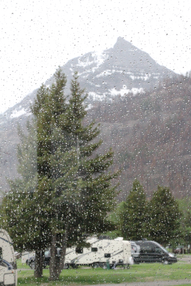
I soon found a dog-walking route that I really enjoyed. Walking up Cameron Creek, which was only about 100 meters/yards from our campsite, and then back down the other side thanks to two bridges, was a good length and there were few ground squirrel burrows along the route.
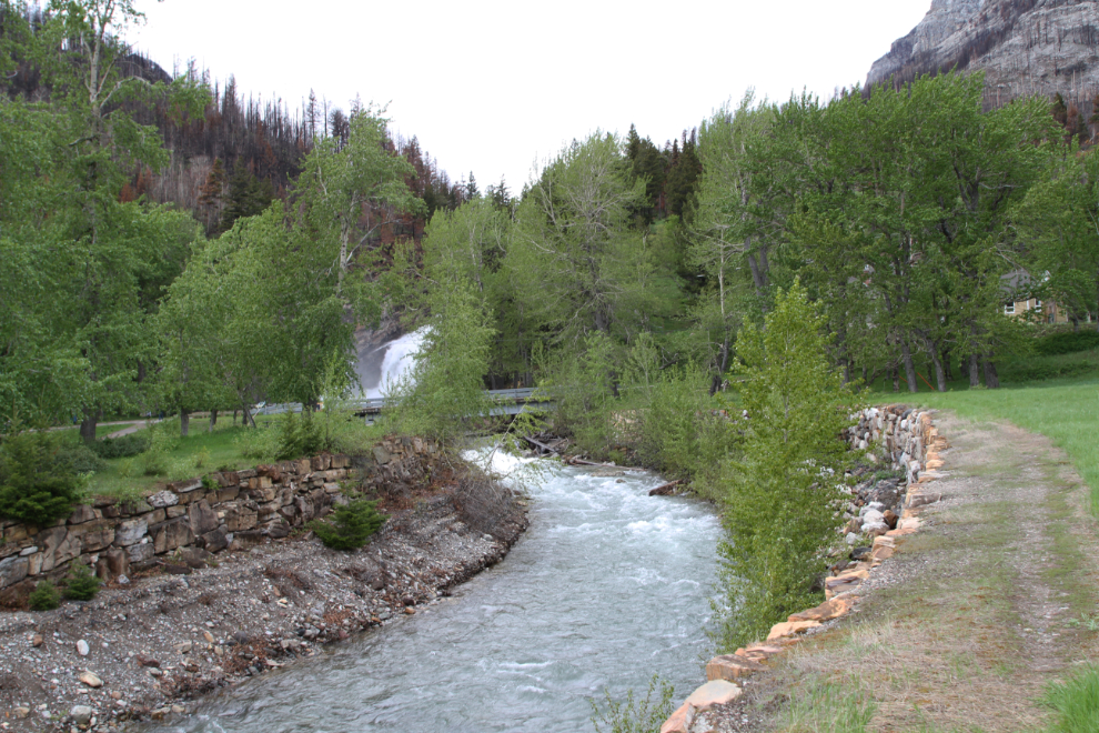
The dog-walking loop took us past spectacular Cameron Falls, one of the most-photographed sites in Waterton. At full Spring flow like this, spray pours out of the canyon and across the foot bridge, which has drain holes to shed the water.
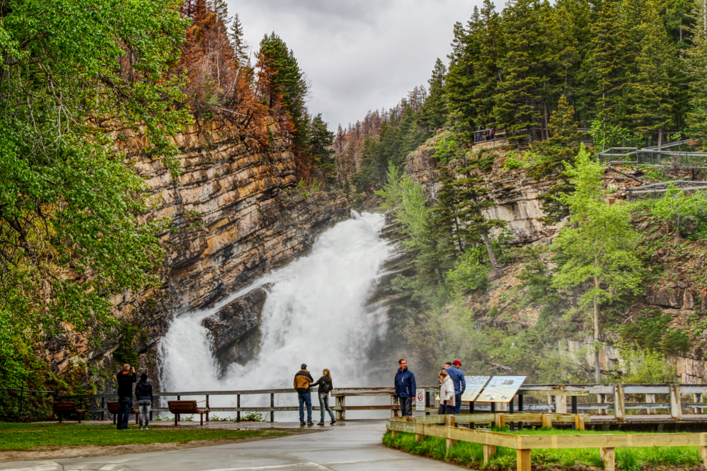
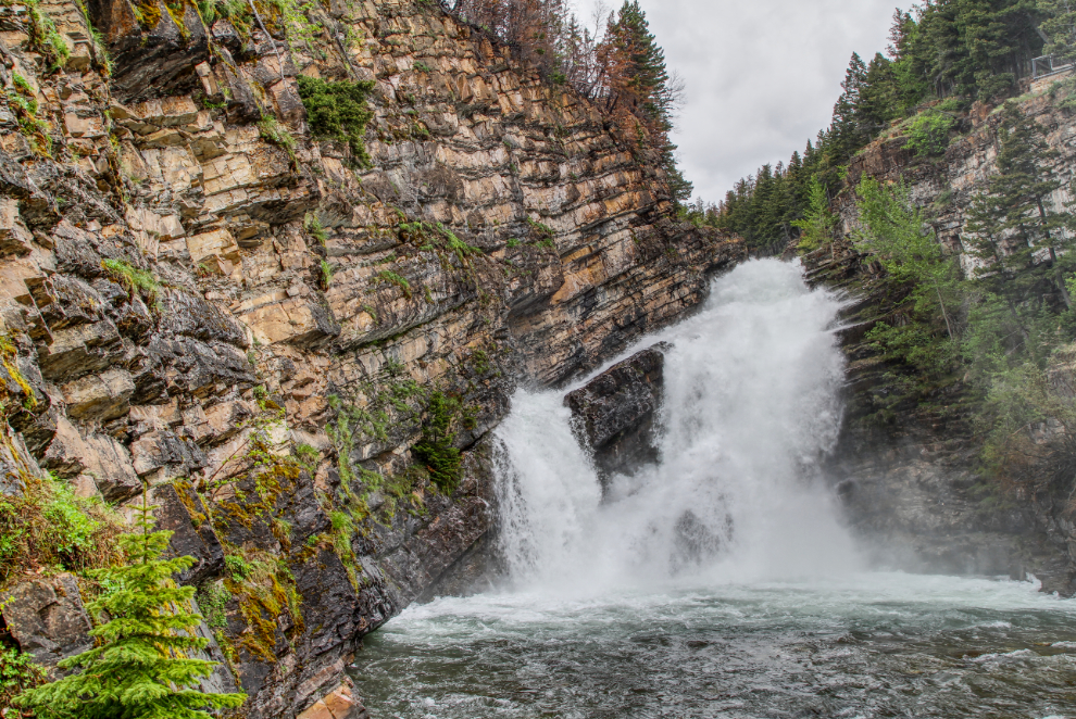
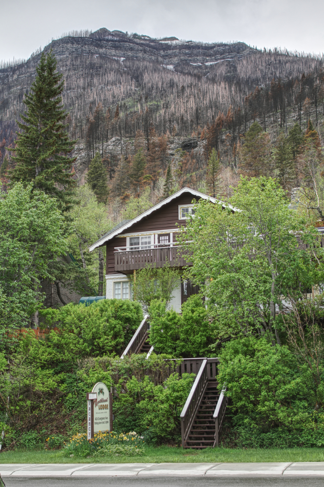
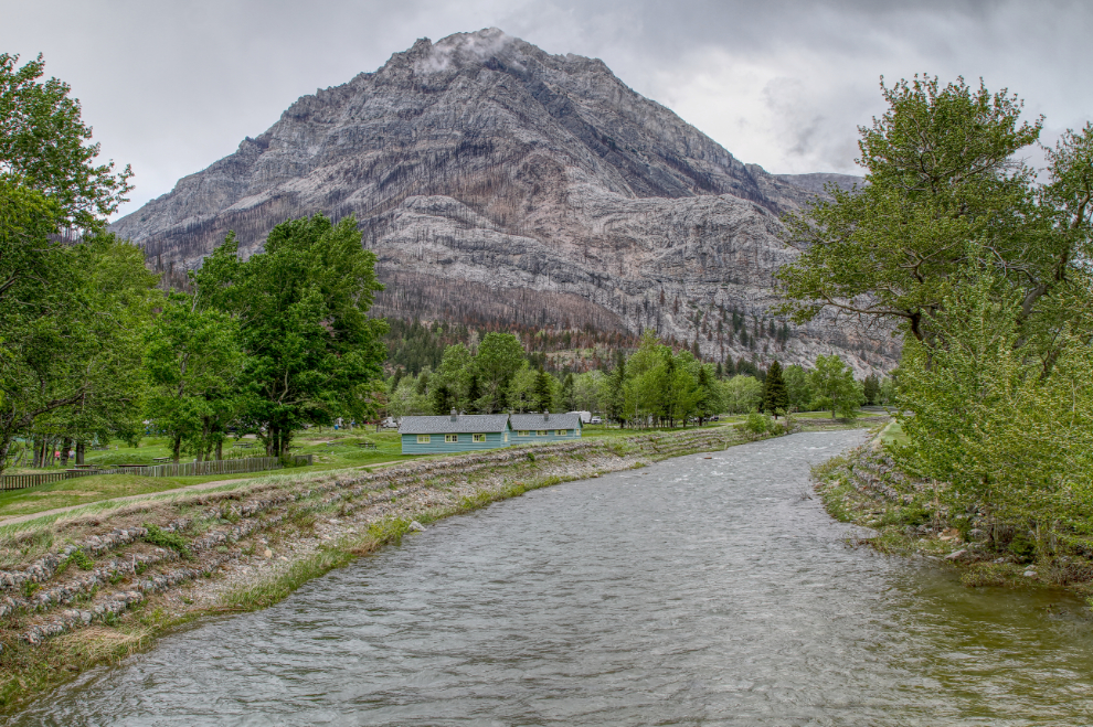
Much of Waterton Lakes National Park is closed due to the Kenow Wildfire, which burned 38,000 hectares, including 19,303 hectares in the park, last September. I was shocked by how close the fire had come to homes and other buildings in the Waterton townsite, and incredulous that firefighters were able to save the townsite.
The rain eased off Saturday afternoon, so we took a drive out to the bison paddock. The Bison Paddock Loop Road is closed due to the fire, but a short road alongside it is open. The bison paddock is accessed from outside the park gates, and I had forgotten my Parks Canada annual pass. I walked up to the gate and talked to the ranger about it, then decided to return to the campground to get it.
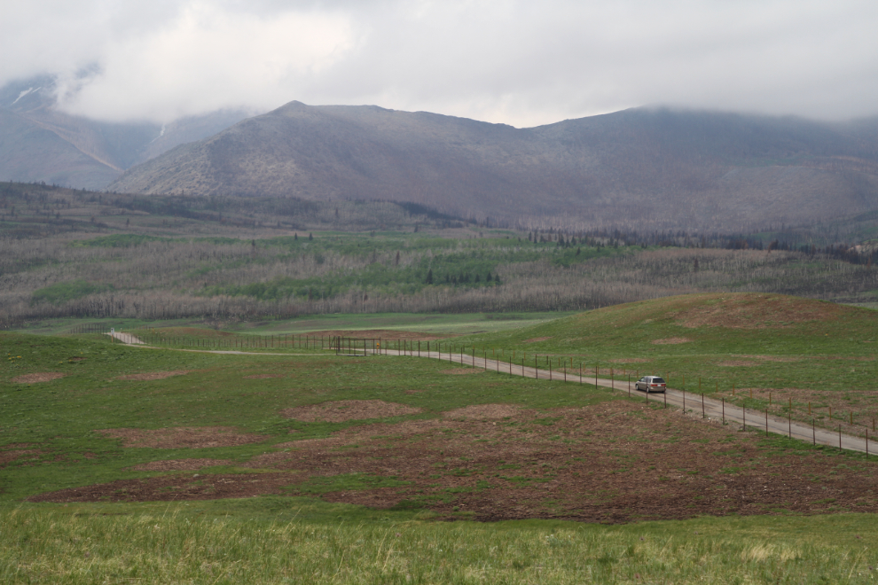
Waterton Lakes is the only national park in Canada that protects rough fescue, a grass that is a highly nutritious food for plains bison, but virtually all of it burned, and we saw no bison. I’ve just found a report that Parks Canada relocated the bison herd before the fire reached the area, and there’s no timetable set for their return.
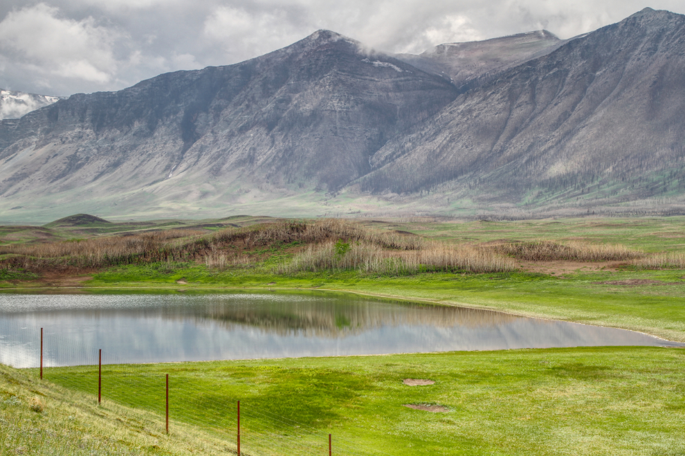
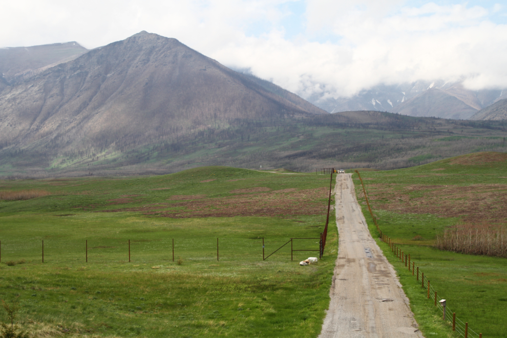
Seeing the bison paddock gave us an even better idea of the scale of the fire, not only in the forests as I expected, but on the vast grasslands as well. In total, 38% of the park was burned.
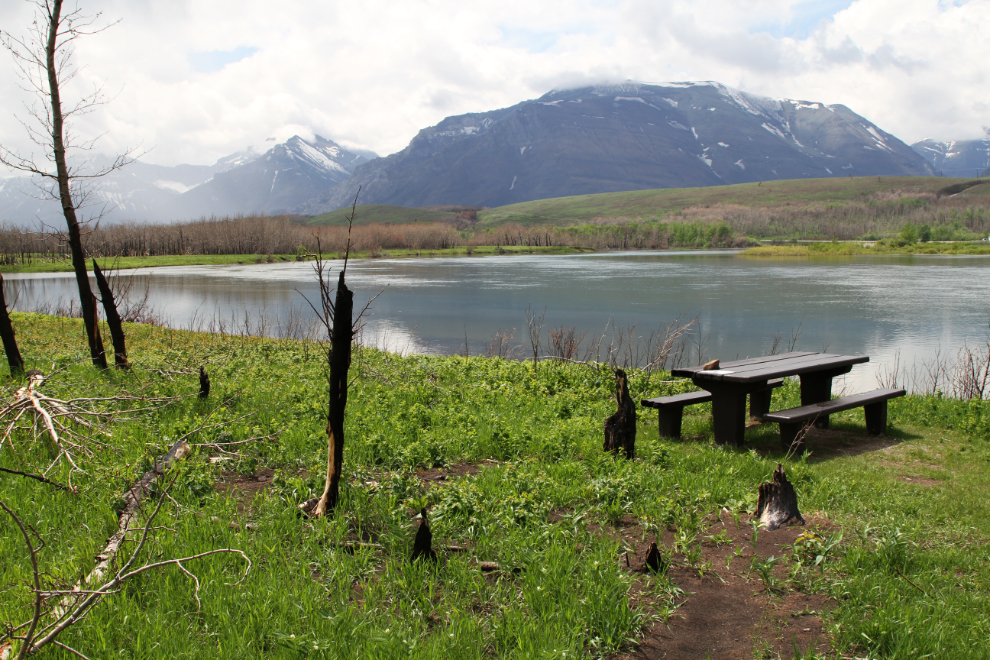
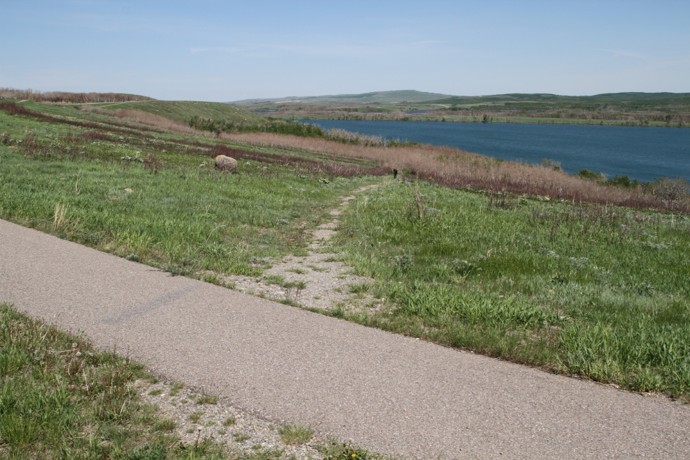
We next made a short stop at the Maskinonge Lake day-use area, which was largely burned but is still open.
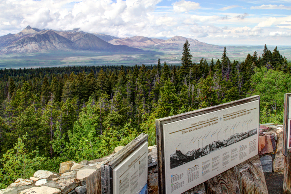
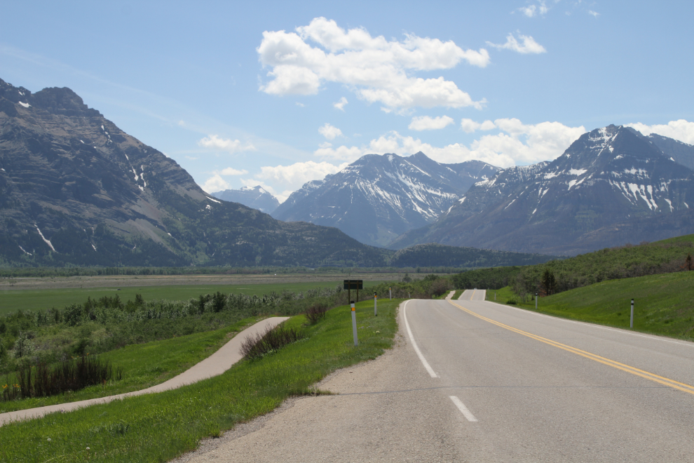
Highway 6 leading from Waterton to Glacier National Park in Montana looked like it would offer great scenery, so that was our next route. The interpretive panels at the viewpoint in the next photo describe the primary significance of Waterton Lakes National Park, “where the mountains meet the prairies” – the change is incredibly sudden, and you can see that very clearly from the viewpoint.
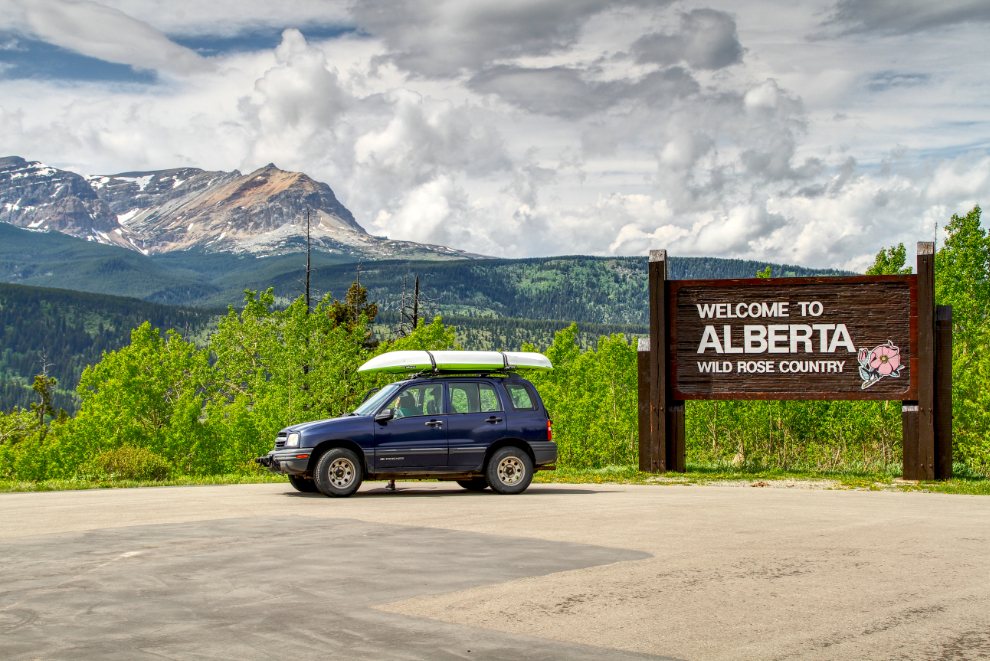
The “Welcome to Alberta” sign just north of the border crossing.
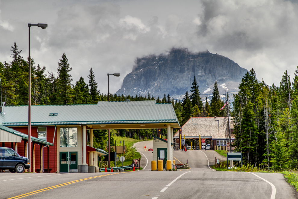
We turned around right at the Chief Mountain border crossing, which just officially opened to travellers for the season 11 days before. It sits at an elevation of about 1,615 meters (5,300 feet) and often doesn’t open until June 1st, but heavy visitation is expected this year, up from the normal annual average of 130,000 people. The crossing was established when the Chief Mountain International Highway was completed in 1936, and is one of only two on the US-Canada border that are closed during the winter (Poker Creek – Little Gold Creek at the Yukon/Alaska border on the Top of the World Highway is the other).
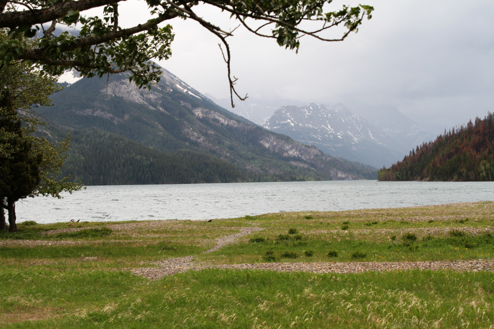
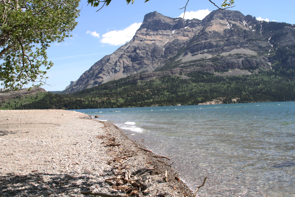
After dinner at the campground, we walked down to the lake again. It’s apparently always windy at Waterton, and it was quite chilly, with more rain blowing in from the south.
The view up Cameron Creek from the lower bridge near the lake.
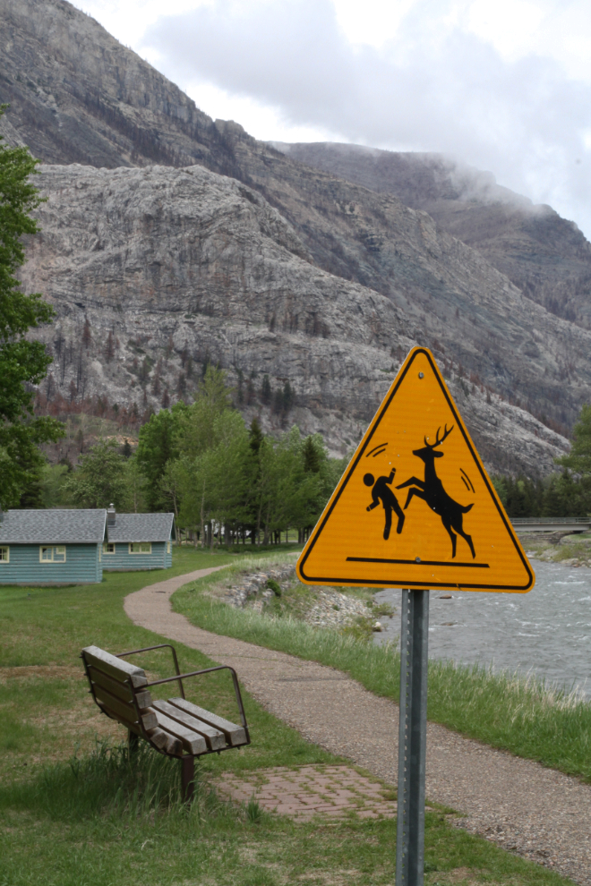
There are a lot of posters and notes around the campground warning about aggressive deer, as well as a couple of these signs. Dog owners are warned to keep well away from deer, which may attack without apparent provocation.
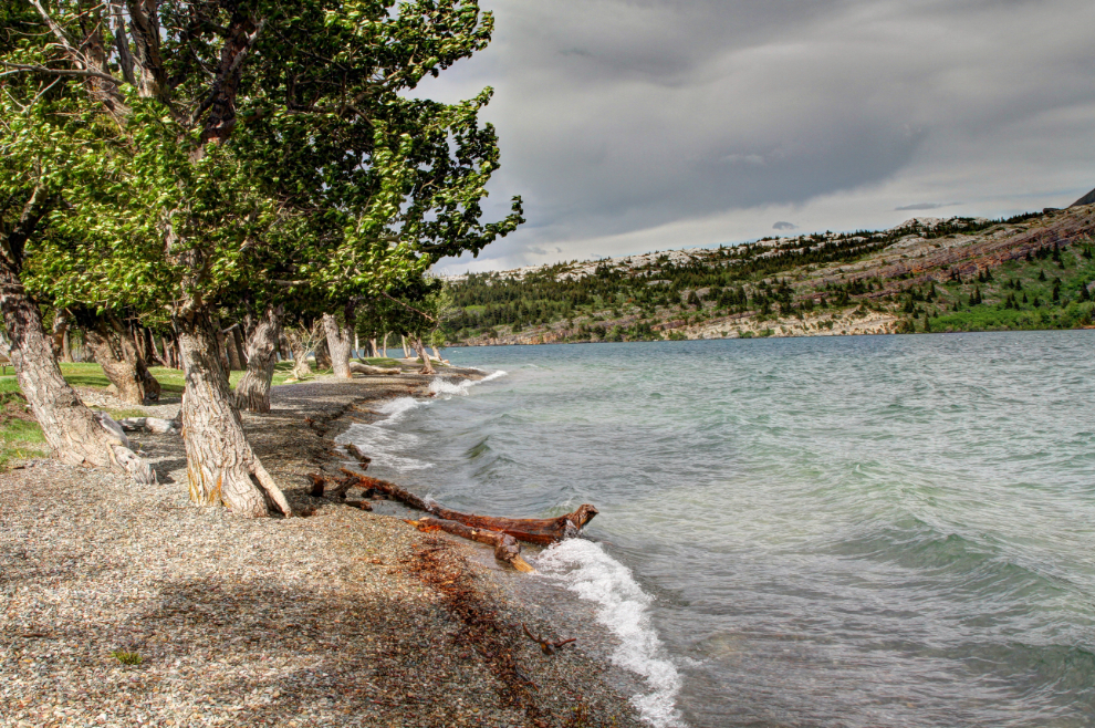
An interesting “storm light” took me back down to the lakeshore at about 7:00 pm to get a few photos.
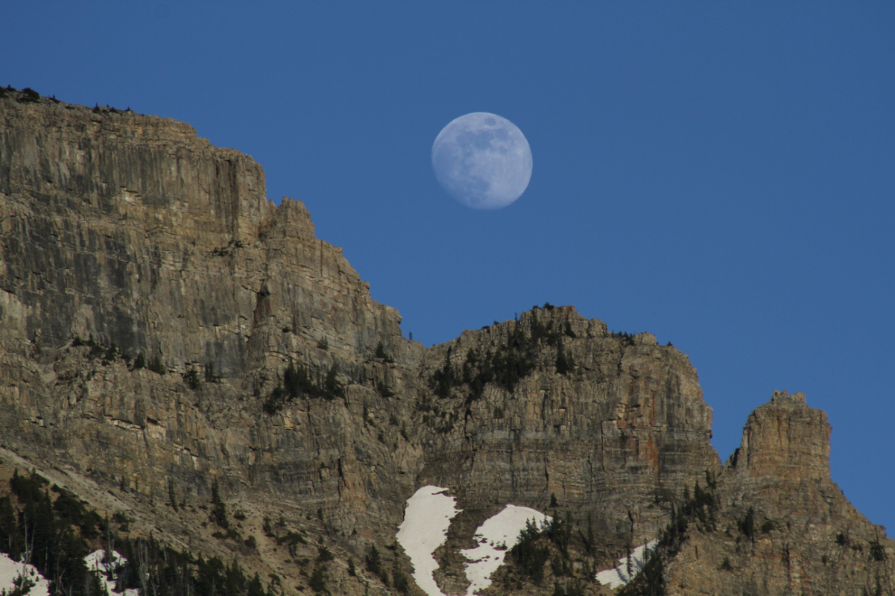
At 8:10, I noticed the nearly-full moon rising. Although it was well above the eastern ridge (which is the southern ridge of Vimy Peak), I could visualize a photo, and took off walking as fast as I could across the campground to get the moon and some of the crags in position for a series of photos. Cathy is quite used to this sort of strange behaviour 🙂
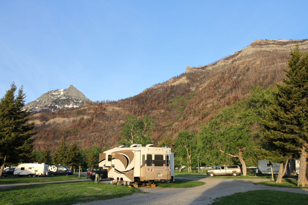
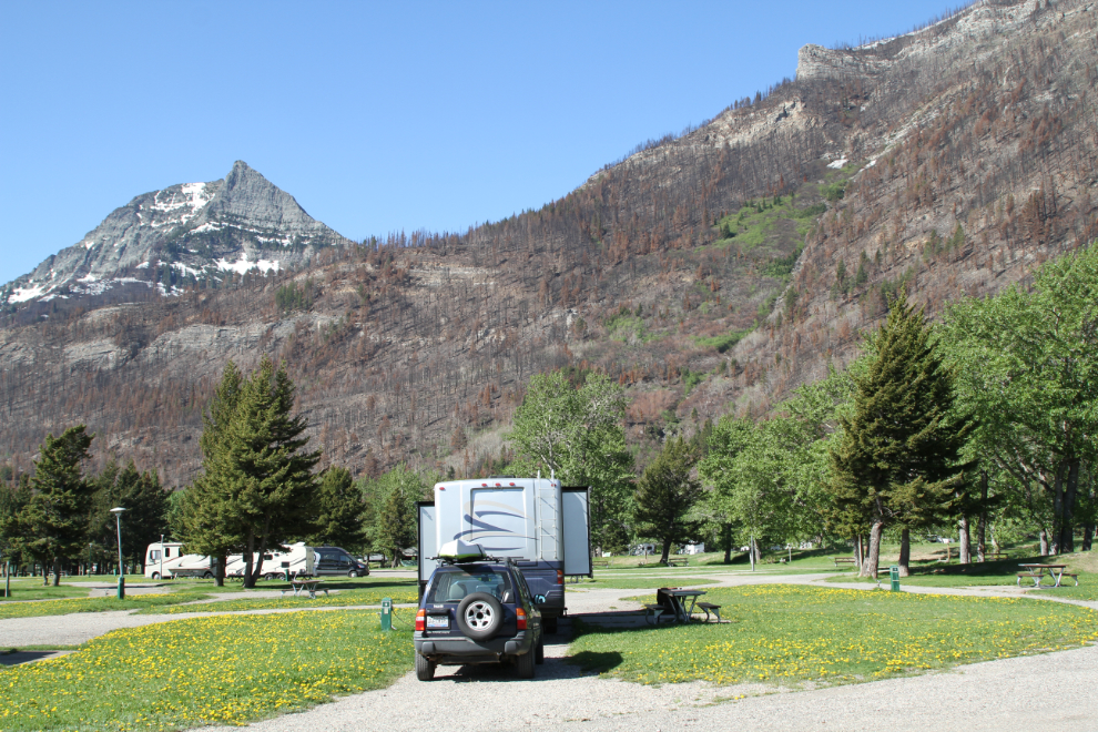
The view to the south from our campsite at 06:20 on Sunday morning. While having the campground only half full helped make it so wonderful, the sites are large enough that I think it would be reasonable even at capacity, which it is from late June until early September.
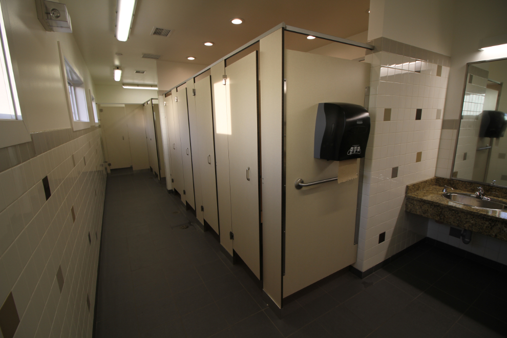
The public washrooms in the Townsite Campground are notably nice – fairly new and spotlessly clean.
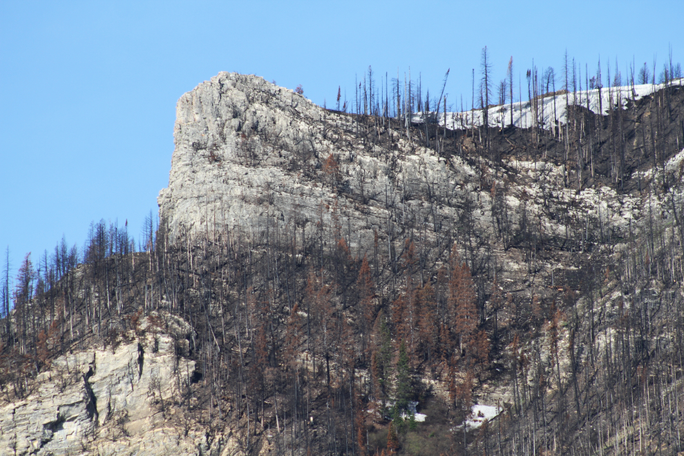
Edith Peak that towered above us to the west had some interesting features that now stand out starkly above the burnt forest.
On Saturday, I bought tickets for the 10:00 boat tour on Sunday. I took the next photo as we were walking to the boat, but I’ll tell you about the boat tour in the next post.
Back from the boat tour, we took Bella and Tucker back down to the lake for a while.
Just before 2:00, I left Cathy and Bella (and Molly) at the campground, and Tucker and I headed out in the Tracker to get some hiking done (it was too warm for Bella). They looked pretty comfortable as I left 🙂
Cathy and I had stopped to read an interpretive panel about Kootenai Brown, and my first stop was that pullout, as I wanted to walk down to the graves of Brown and his two wives. This is the view back to the south (towards the townsite) from the pullout/trailhead.
The trail to the graves is only about 300 meters/yards long. We met a Parks Canada biologist doing plant succession studies in the fire zone.
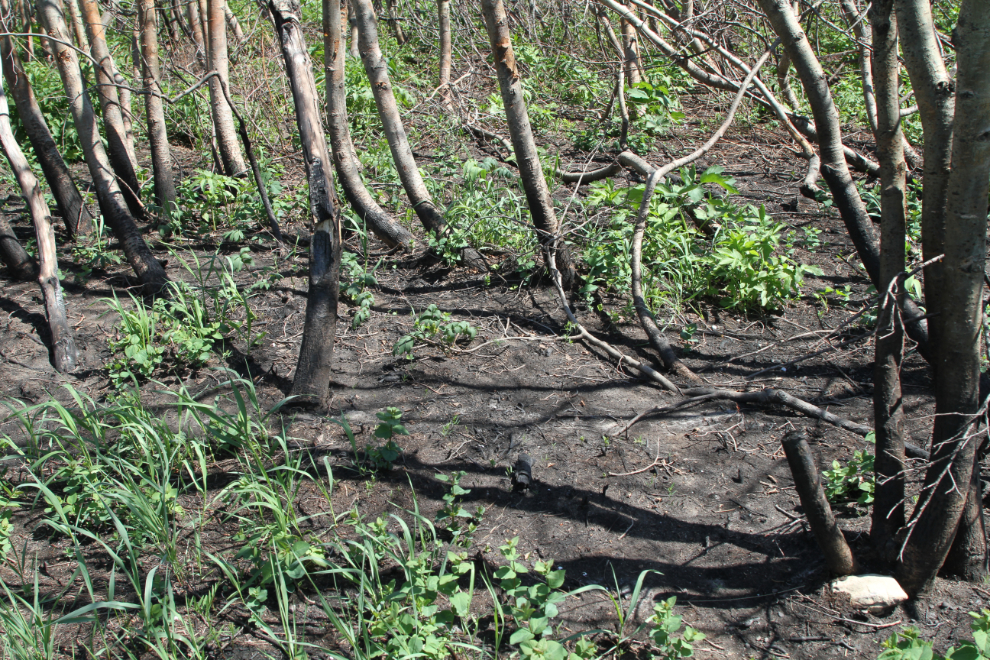
This entire area was burned.
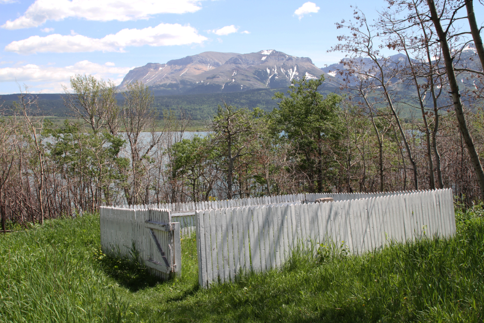
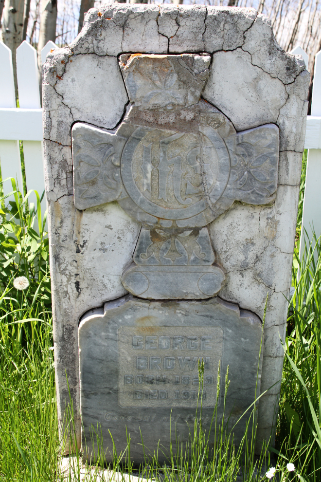
The gravesite seems to have somehow escaped the fire. Brown’s headstone says “George Brown. Born 1839. Died 1916.” Brass plaques have been placed for his wives: “Olivia Lyonnais Brown, 1849 – 1884” and “Isabella Brown, 1856 (ca.) – 1935”.
The two main scenic drives within Waterton Lakes National Park, Red Rock Parkway and Akamina Parkway, are both closed due to the fire, but Red Rock is open for walking and biking for a ways (I wasn’t clean on how far), so it was going to be our main hike.
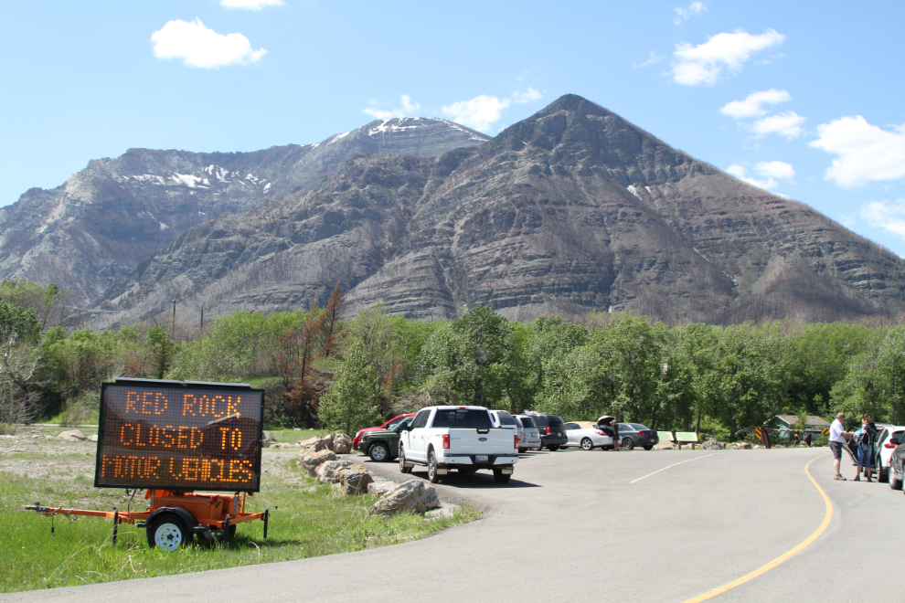
We started off on the trail beside the road…
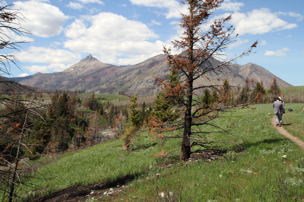
…but then moved over to the road, since there were no vehicles on it.
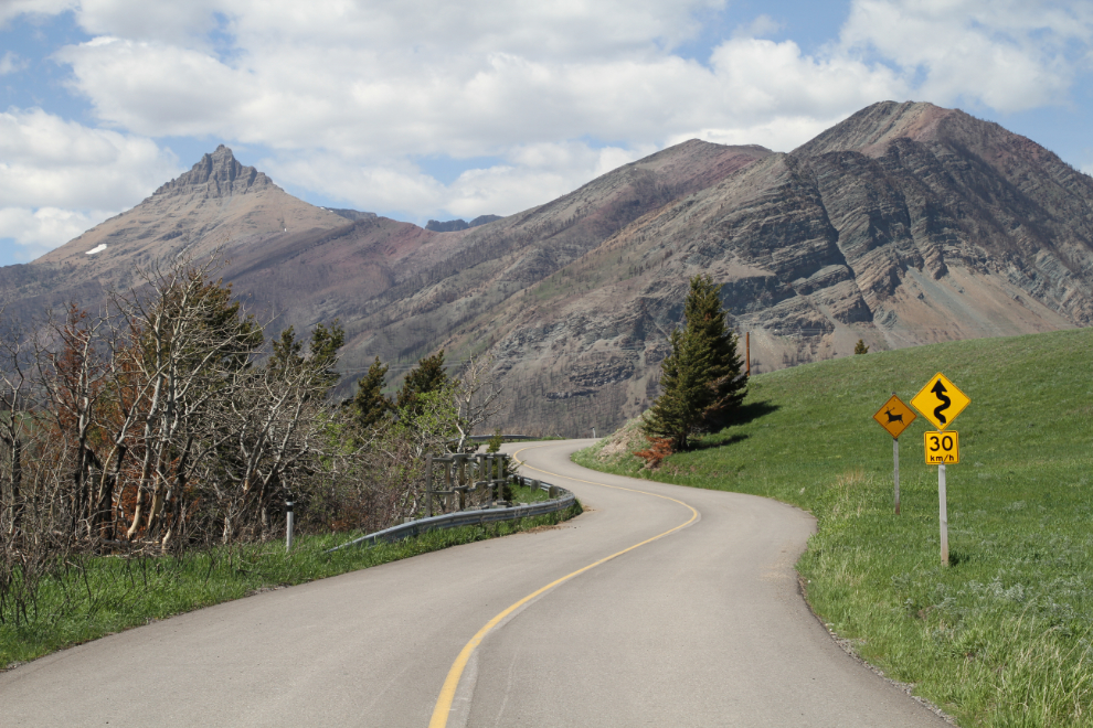
The views along this road certainly certainly firmed up the desire to return to Waterton when everything is open.
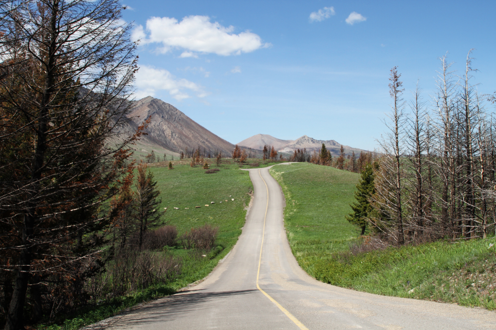
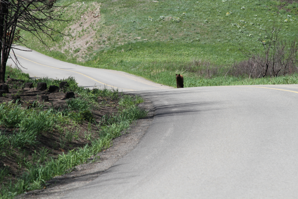
Only 30 minutes from the car, our hike came to an end. The bear on the road showed no sign that he intended to leave, and 6 cyclists were trying to figure out how to get past him to return to their vehicles.
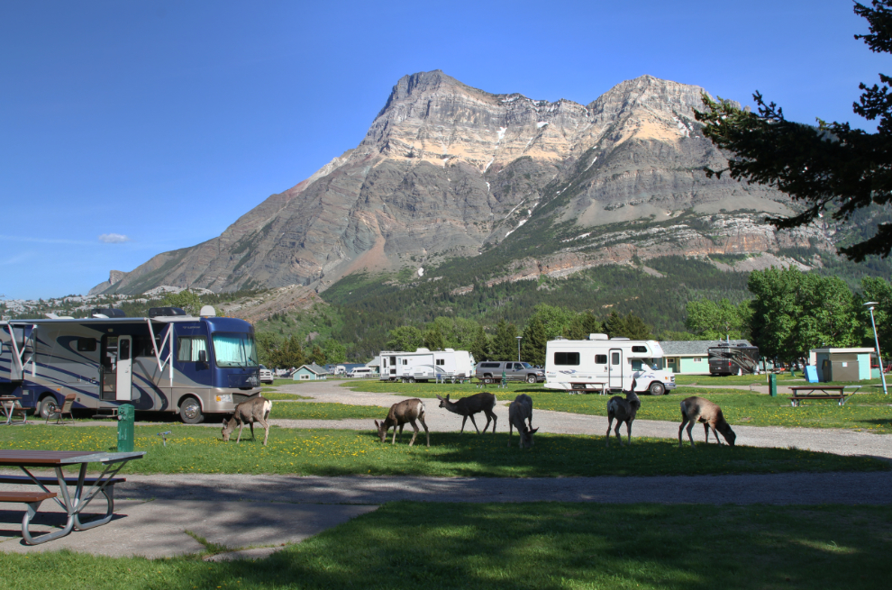
Tucker and I were back at the campground just after 4:00. As I was barbecuing steaks behind the RV out of the wind, six Mule deer (Odocoileus hemionus) joined us for dinner, grazing through our campsite for about half an hour. Twice during our stay, we had bighorn sheep graze by us.
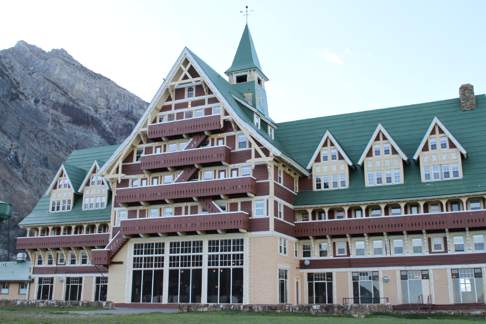
The final thing we wanted to do on Sunday was see the historic Prince of Wales Hotel, the iconic lodge which sits high above the townsite with a panoramic view.
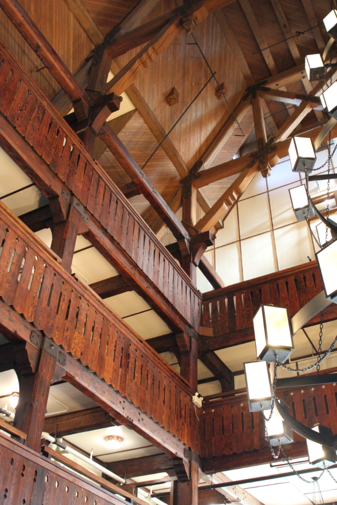
The interior of the hotel is gorgeous – a classic park lodge with huge timbers. According to the many reviews which give it mediocre or poor ratings, it also has few modern amenities, but a little research and/or the right attitude wouldn’t put people in a position to be disappointed like that.
When I looked out at the view, a photographer and several assistants were using the ever-present wind for some sort of fashion shoot.
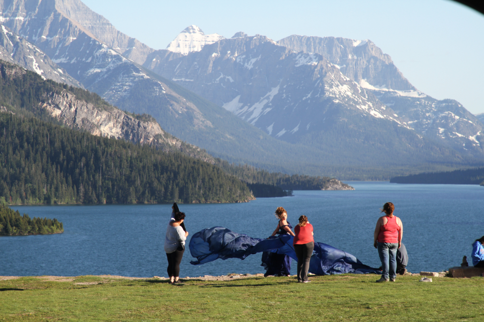
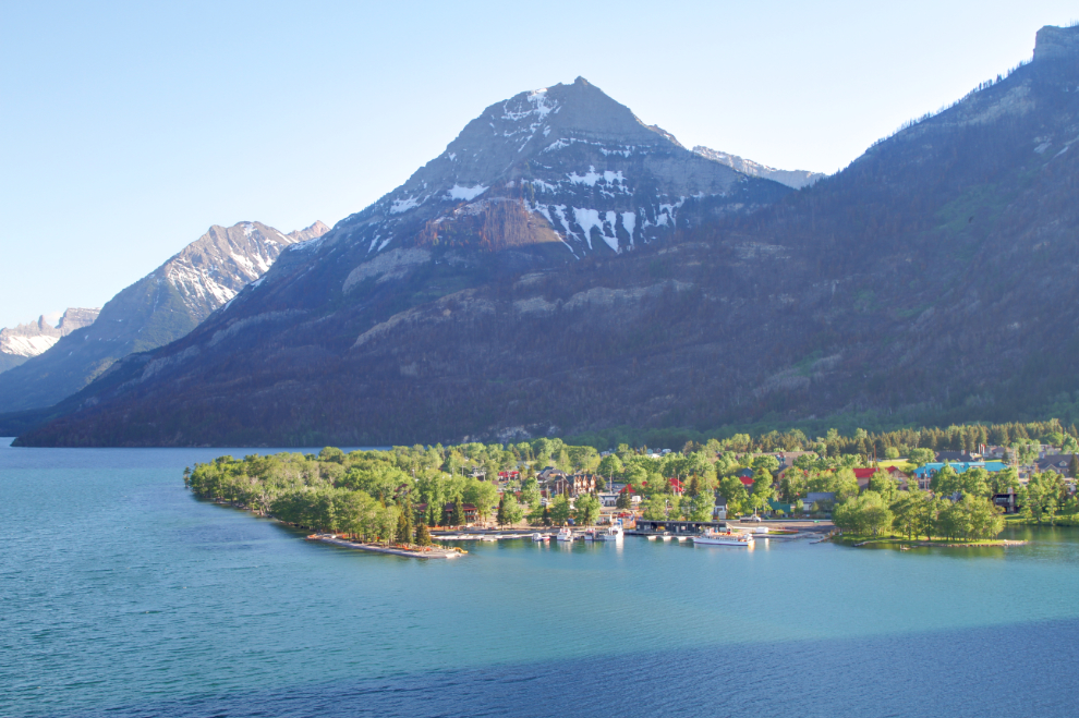
The views are stunning – over the townsite…
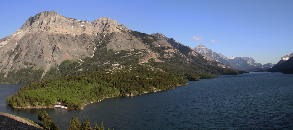
…and a panorama of Vimy Peak and the other mountains along Upper Waterton Lake.
On Monday morning, we discussed at length whether to add another day to our stay at this incredible place. Bella and Tucker clearly weren’t finished with squirrel-watching 🙂 The final decision, though, was to continue on, mostly because we’re determined to return when everything is open, although we may never get weather like this again.
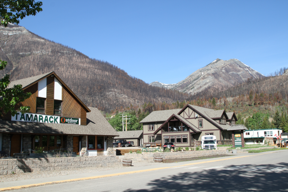
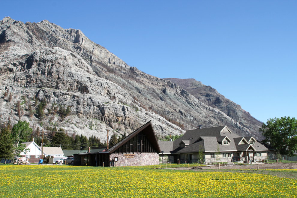
Before leaving, Cathy drove over to the main shopping street while I walked around the townsite.
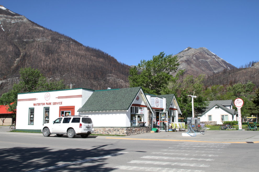
This former Texaco gas station was one of my favourite buildings in town. The business now sells and rents a wide variety of things, as well as gas. The gas, surprisingly, was very reasonable, at $1.329 – I had expected about 20 cents more, given the location
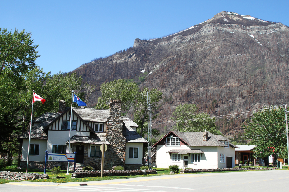
One final photo before we headed north, of the RCMP detachment.
We didn’t have a firm plan as we drove towards Cochrane, where we had reservation starting on Wednesday – we’d stop for the free night wherever it felt right.