Day 4: Wandering through Utah and Idaho
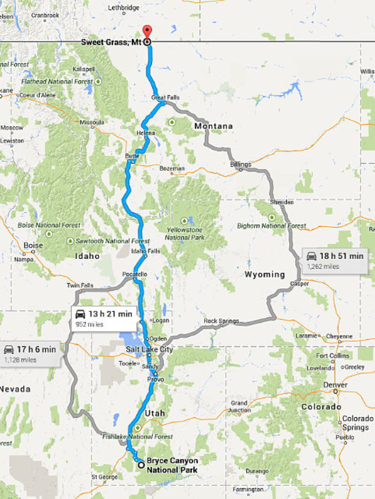
To get the the border at Sweetgrass, Montana at the scheduled time (or day, at least – Wednesday the 13th), I had about 48 hours to drive the 950-odd miles – 2 easy days. I had run into a problem that needed to be sorted out at Salt Lake City, though – all of the towing gear that I’d bought at the Camping World store at Flagstaff was wrong. Even after me describing what I wanted, and the clerk coming out to the motorhome for a look, he’d packed the wrong stuff. Good thing I opened the boxes while there were still a couple of Camping World stores ahead!
This was the basic route planned – though I might take a detour if a good reason appeared 🙂
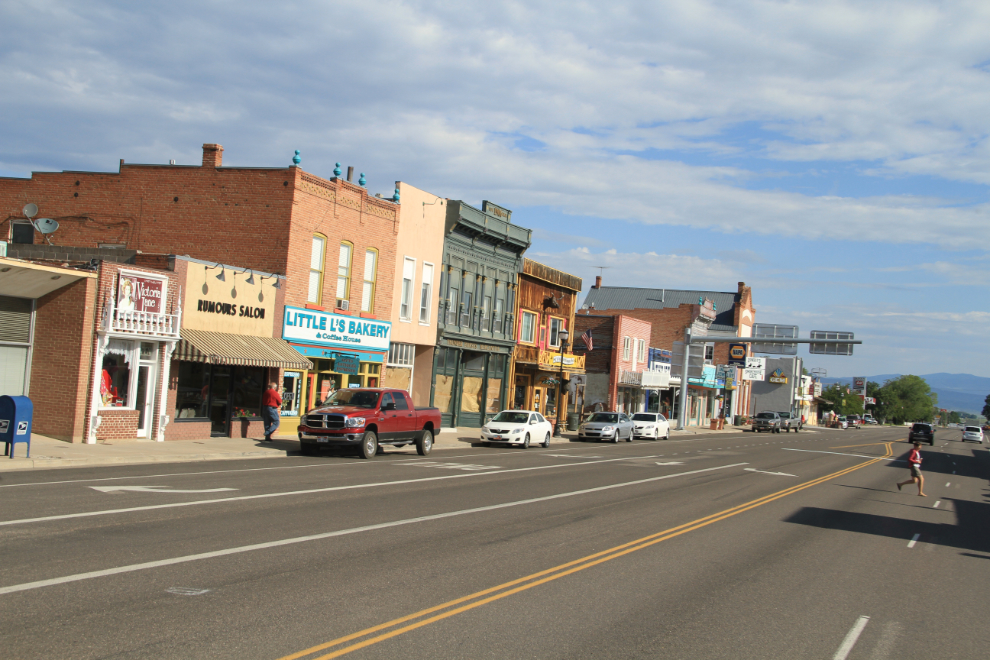
So much to see and so little time – I had to just pass through Panguitch, Utah, “one of the great historic towns of the West”, noting it for a future leisurely trip.
Just north of Panguitch, I took Route 20 west for some 20 miles to meet the freeway, I-15, which would be the primary route north.
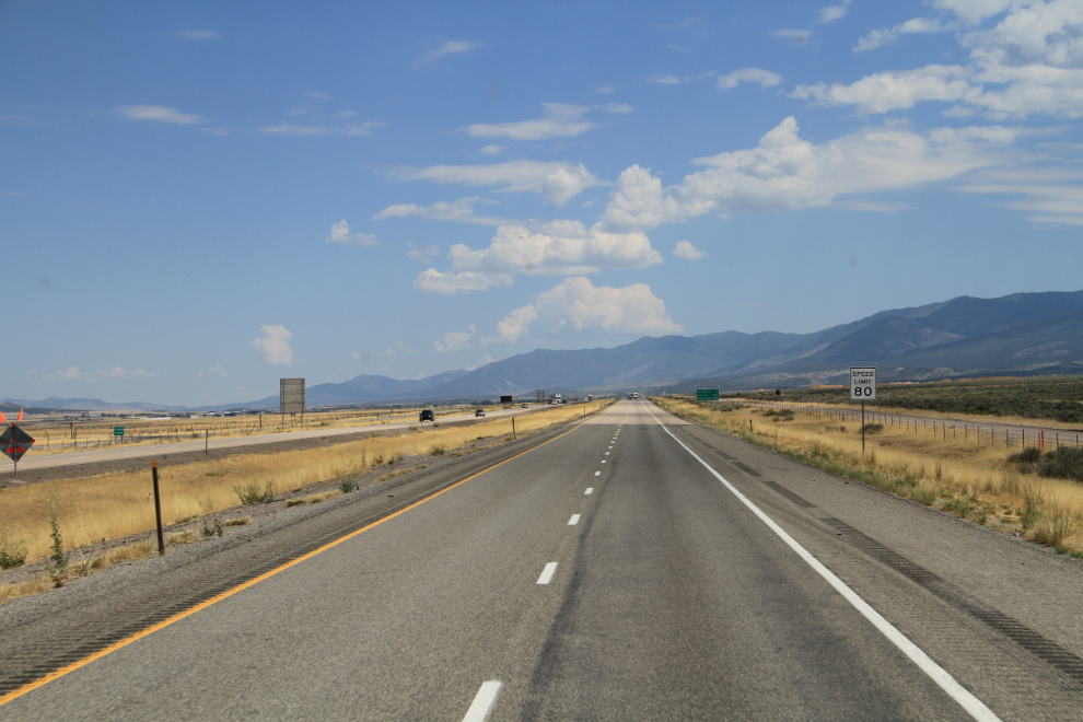
I don’t like freeways, but here we go, at 10:50 Monday morning.
The 80 mph speed limit was a surprise. Remember when the “double nickel” speed limit program started in 1973-74? “Stay Alive, Drive 55” and whatever the fuel economy slogan was. Signs or not, I never took the motorhome to 80 mph – I’m happy with 65-70 (105-120 kmh).
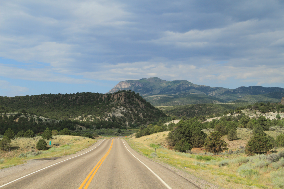
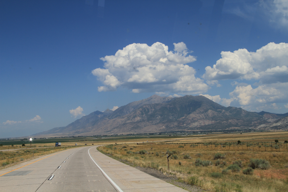
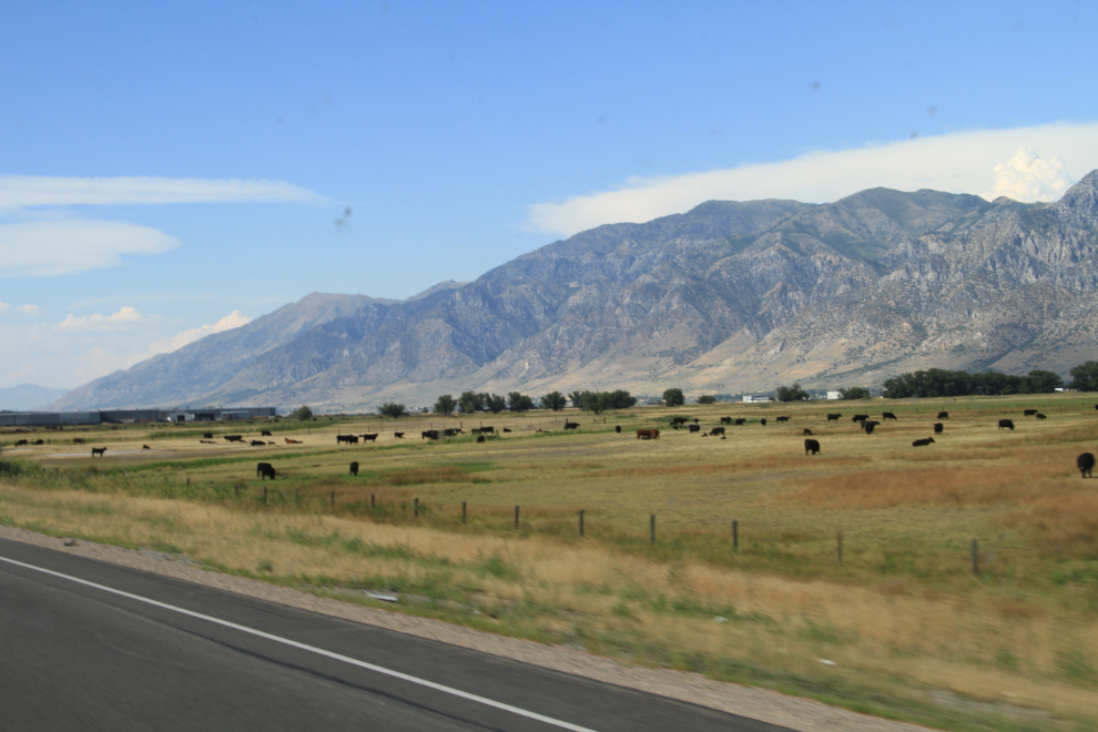
There is a whole lot of really pretty country out there to see. This is just south of Nephi, shot at 12:20.
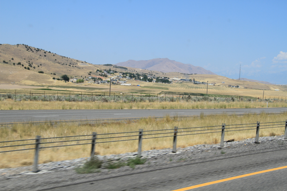
It struck me when I took this photo that this was a “colony” community, and a bit of research has shown that to be true. The majority of the 403 residents of the attractive community of Rocky Ridge are members of the Apostolic United Brethren, a polygamous Mormon fundamentalist church within the Latter Day Saint movement. Speaking of polygamous, Cathy suggested that when I passed through Bountiful, I might want to pick up “a spare” (wife, that is) – no, I’m good 🙂
As I neared Salt Lake City, I got awfully homesick for some reason 🙂
The folks at the Camping World store at Draper, on the south side of Salt Lake City, made exchanging the wrong towing gear for the right stuff very easy, and I thanked them by buying a few more things like camp chairs and a camp table that I knew I’d have a hard time equalling the quality of elsewhere.
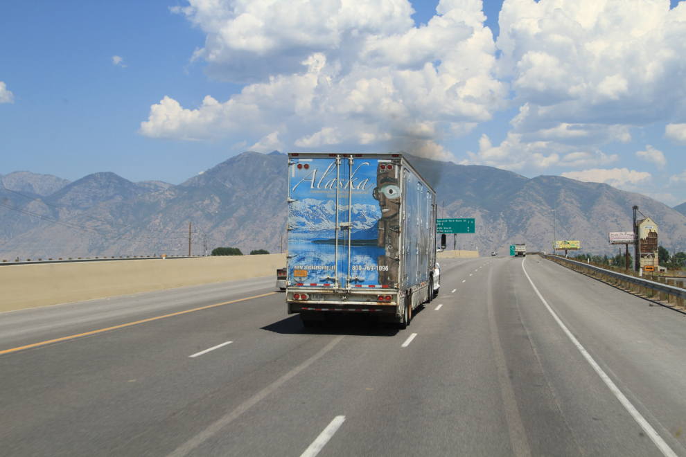
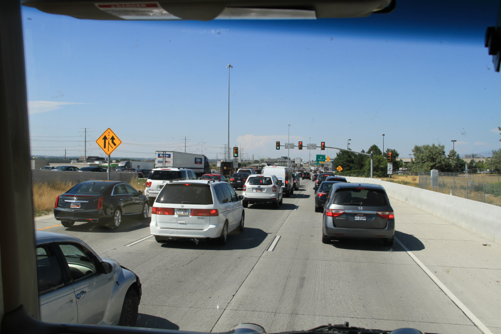
Getting through Salt Lake City on the freeway was nowhere near as easy – what a mess. This was shot at 2:40 pm.
By 4:00, life was good again 🙂 This is near Brigham City.
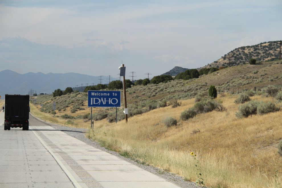
At 4:37, Welcome to Idaho! I stopped for a few minutes at a rest area and went through a large map book I’d bought at Camping World, soon deciding that a Good Sam campground on the Snake River at Idaho Falls would be a good stop for the night.
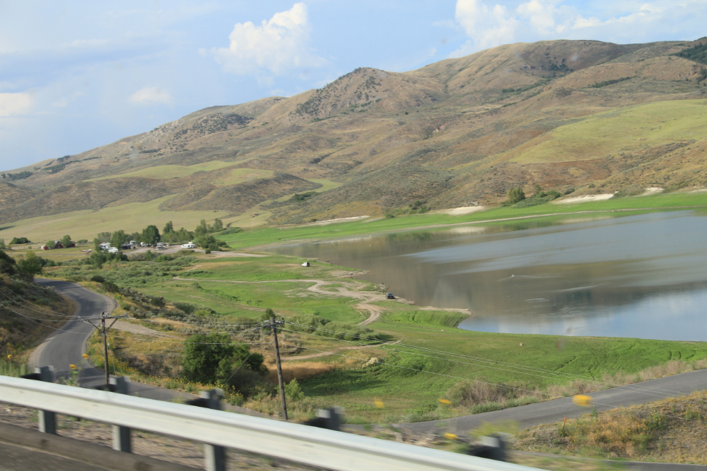
The Devil’s Creek Reservoir in Malad Pass.
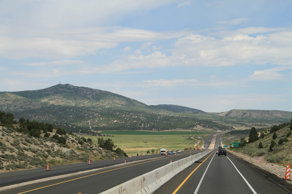
The north side of Malad Pass, at 5:25.
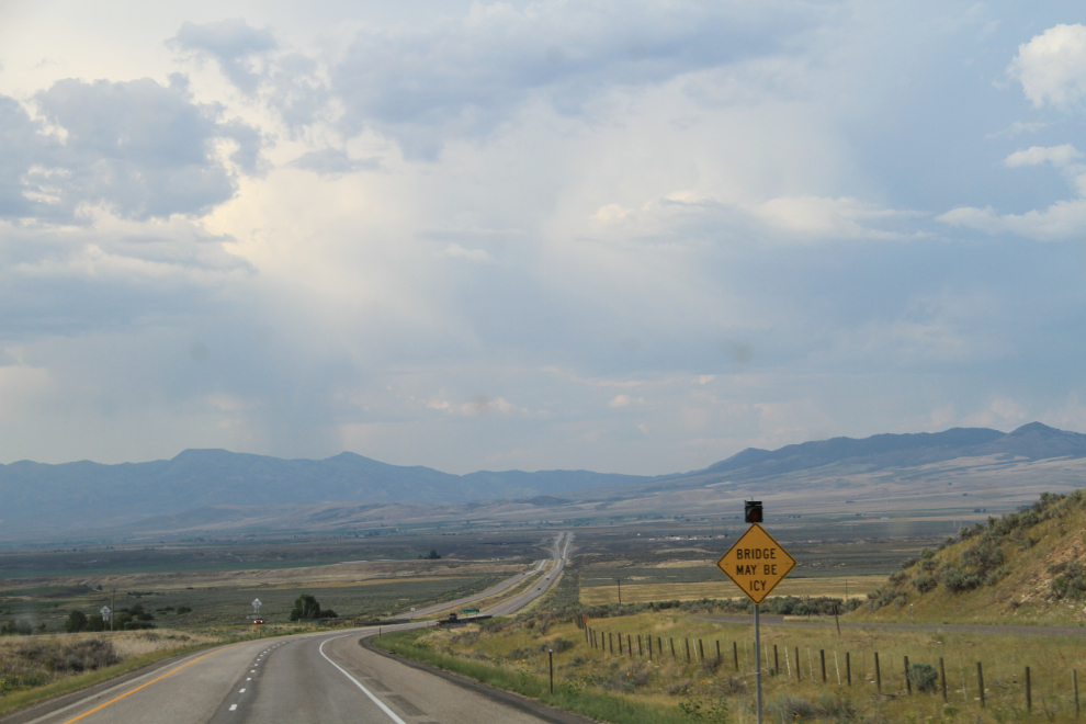
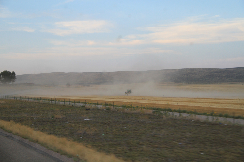
The variety of terrain, switching back and forth between mountains and dry valleys, was quite interesting.
After what I got at the Grand Canyon, I was very pleased with the Snake River RV Park – although quite busy, a treed, grassed site for $34.50 suited me fine. The final day through northern Idaho and Montana tomorrow would be easy.