Canoeing the Yukon River, Part 4: Carmacks to Fort Selkirk
This post begins as we departed from Carmacks on Saturday morning, August 16th (Day 6 of the trip) and ends as we arrived at Fort Selkirk in the afternoon of Sunday, August 17th. I thought I was going to be able to tell this story with four posts, but I have it laid out now and there are six.
We were back on the river at 09:45, but for quite a while would be making little progress in the direction we wanted to be going – north! 🙂
At 10:10, Tantalus Butte was ahead briefly as we rounded a bend. See my illustrated article “The Tantalus Butte Coal Mine” for more information about the butte, and the coal mining that began in the area in 1887.
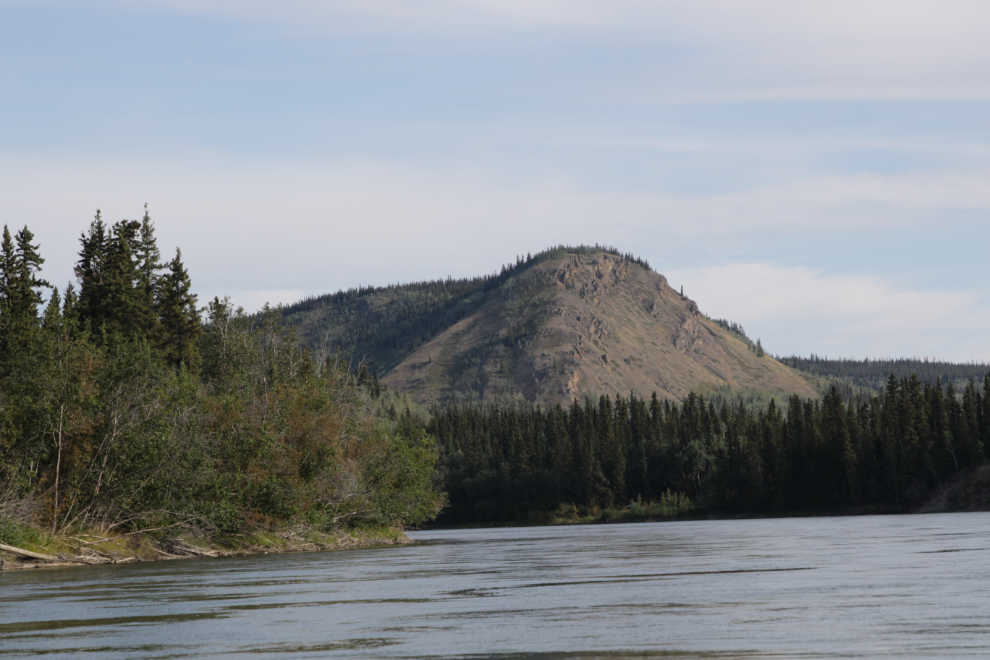
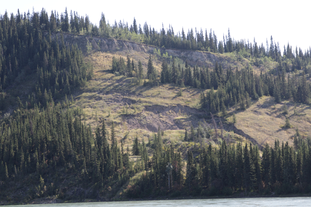
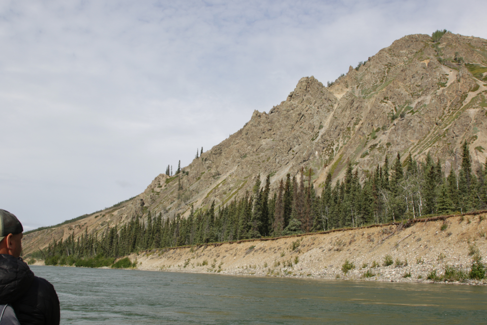
10:42 – we’d now be roughly paralleling the North Klondike Highway all the way to Minto (about 50 miles), but the terrain along the river is much more varied and interesting.
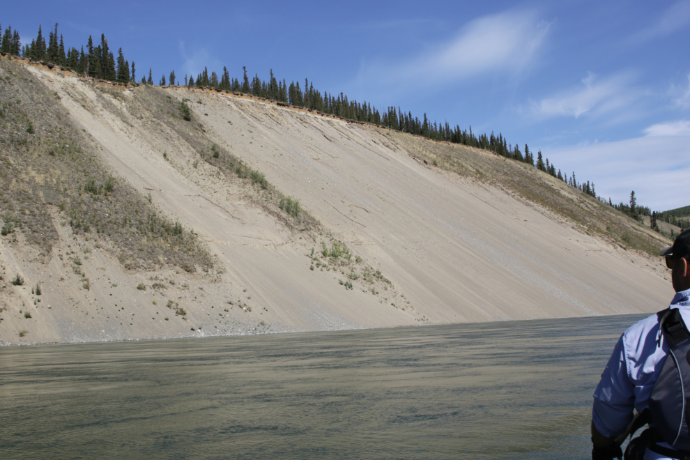
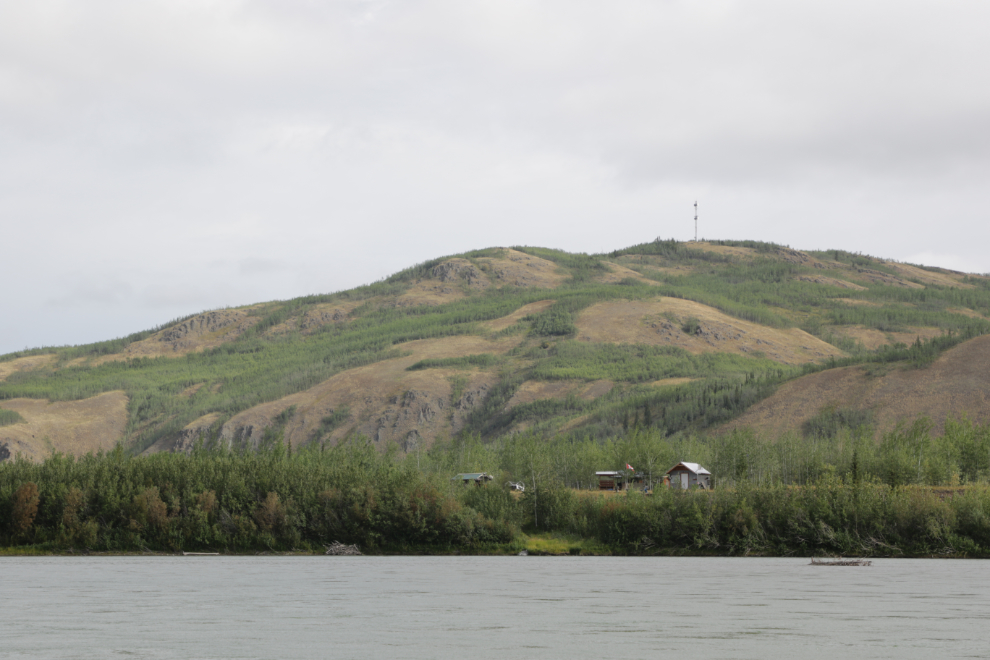
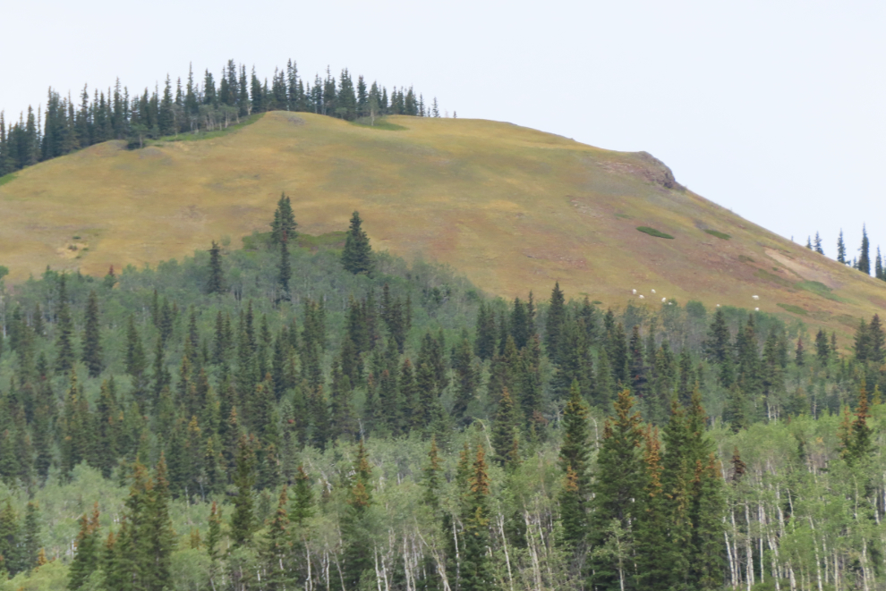
That feature on the distant mountainside, which can also be seen from the highway, has always intrigued me. It appears to be natural.
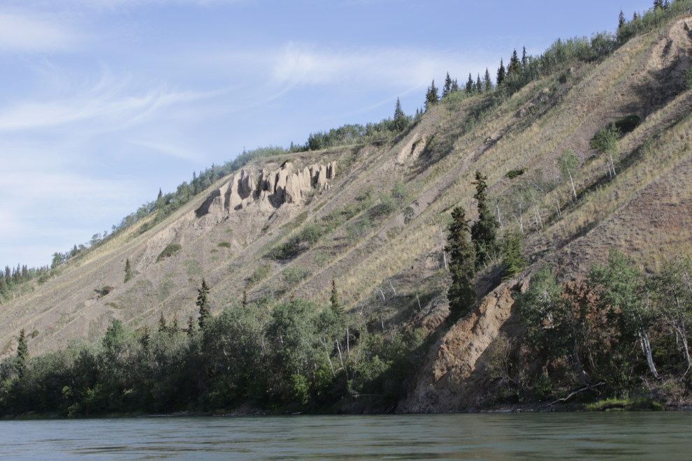
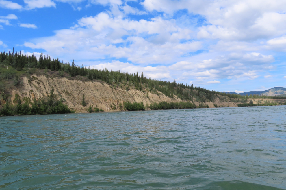
This very high cutbank has found the perfect angle of repose over the millennia.
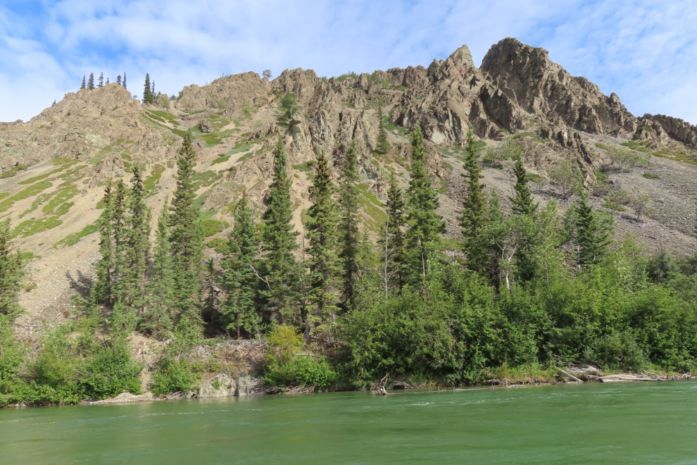
Some excellent hoodoos right at noon.
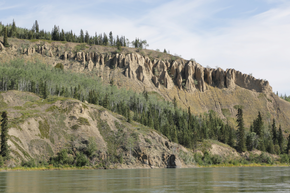
We stopped at the Five Fingers Coal Mine historic site in 1997. This time the light was perfect to get a broad view of the property. This was shot 3 minutes after the hoodoos.
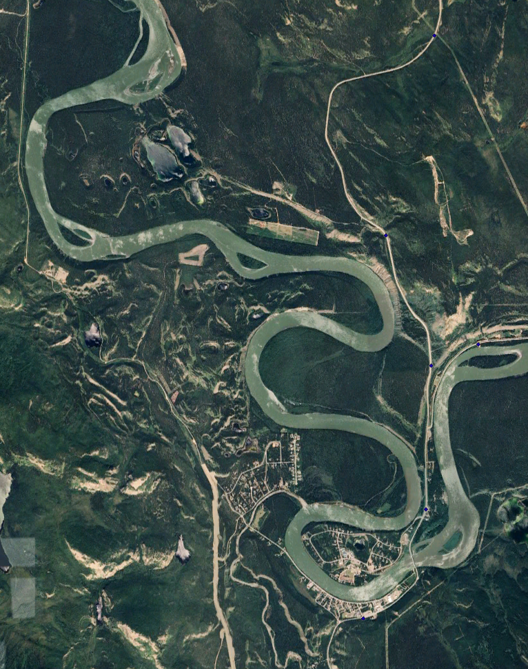
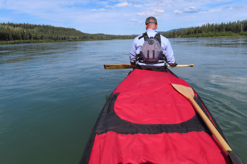
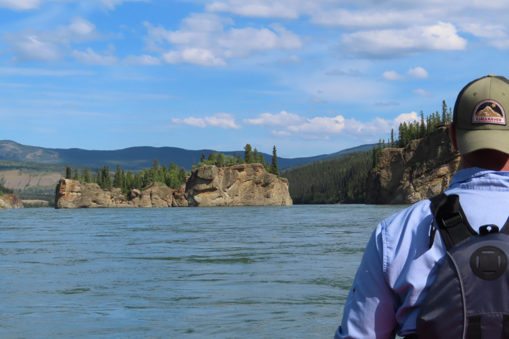
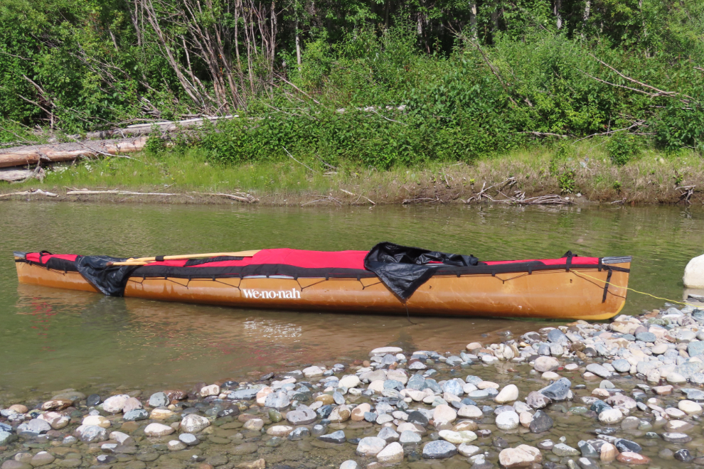
Five Finger Rapids causes a bit of stress, but not for any good reason given the boat we have this time. We stopped half an hour before reaching the rapids and put the spray cover on, as well as adjusting the load to lower it. The spray cover, made in Vancouver by North Water, is a thing of beauty – for $1,000 it takes the canoe to a whole different level of safety.
This was the last of several photos as we approached – the far right “finger” is the one to use. It looks really calm from here 😀
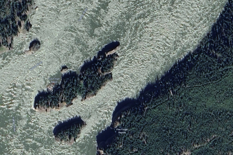
This aerial from Google Maps shows the rapids. The run was easy until we met the flow from the next finger – then there were huge waves coming from every direction. Actually they weren’t “coming,” we were – they were standing waves. I really wish I had borrowed a GoPro to record it! We had both forgotten to zip up our paddler “gasket” so took a few cups of water.
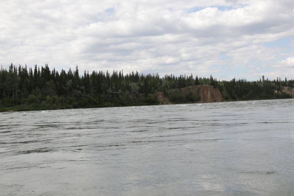
The very rough water went for quite a distance below Five Fingers, and when it calmed down there was another riffle that can just be seen in the next photo.
Approaching Tatchun Creek.
We stopped for lunch at the next island below Tatchun Creek, and took the spray cover off.
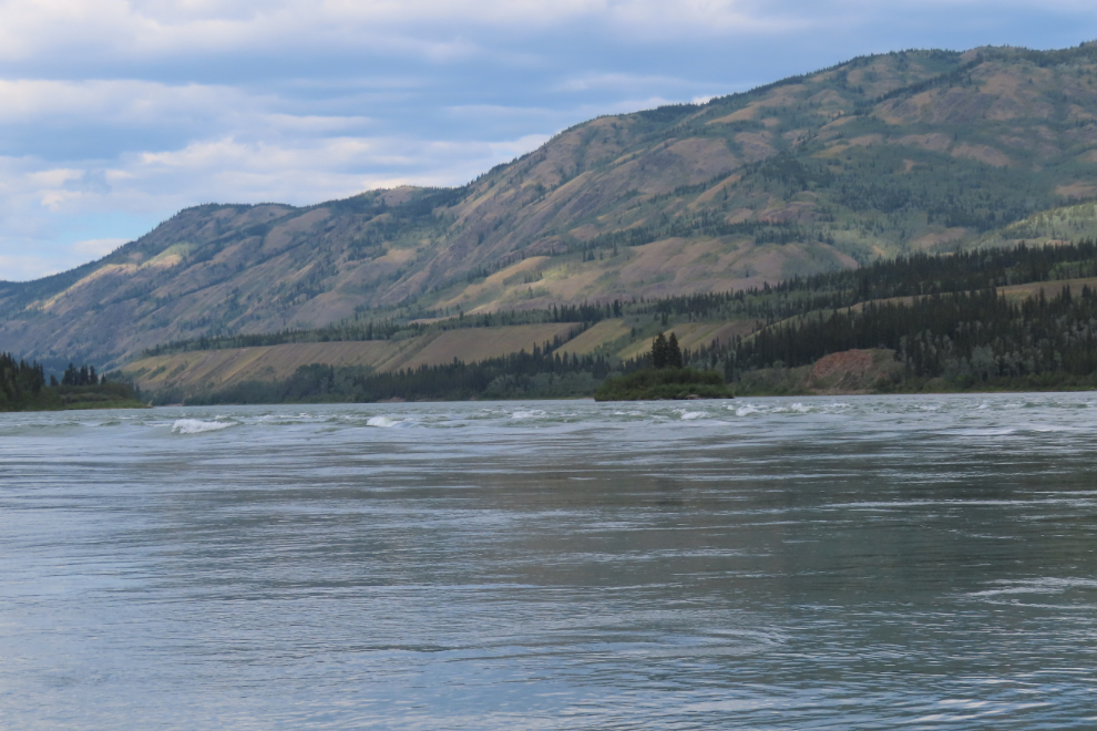
About five miles below Five Fingers, Rink Rapids stretches across most of the river, but a narrow path close to the right shore stays pretty calm.
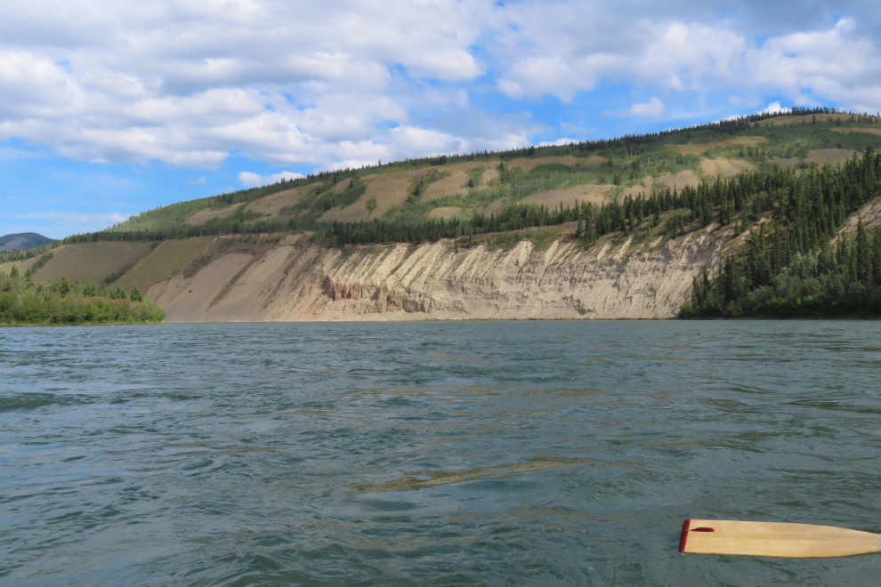
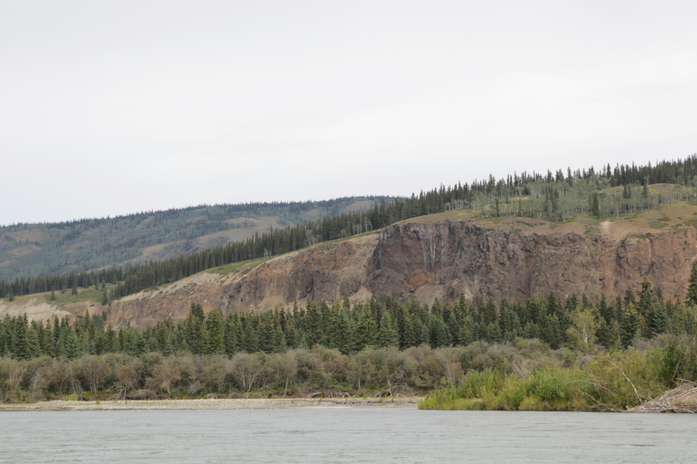
A particularly thick layer of White River ash that can be seen from the highway was named “Sam McGee’s Ashes” many years ago.
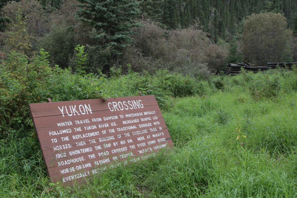
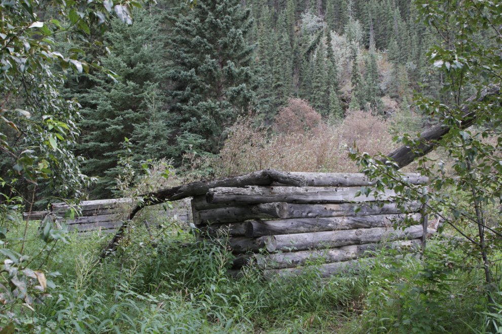
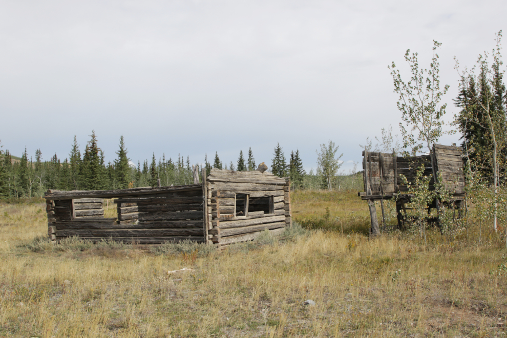
“Winter travel from Dawson to Whitehorse initially followed the Yukon River ice. Increased traffic led to the replacement of the traditional dogsled with horses; then the building of the Overland Trail in 1902 shortened the trip by 160 km. Here, at McKay’s Roadhouse, the road crossed the river using either horse-drawn sleighs or ferries. ‘McKay’s Crossing’ eventually became known as Yukon Crossing.”
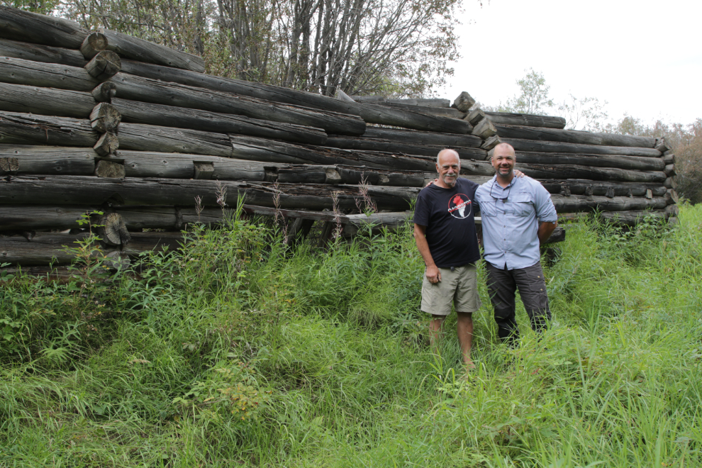
In ’97 the second storey of the roadhouse was still there, though sagging badly.
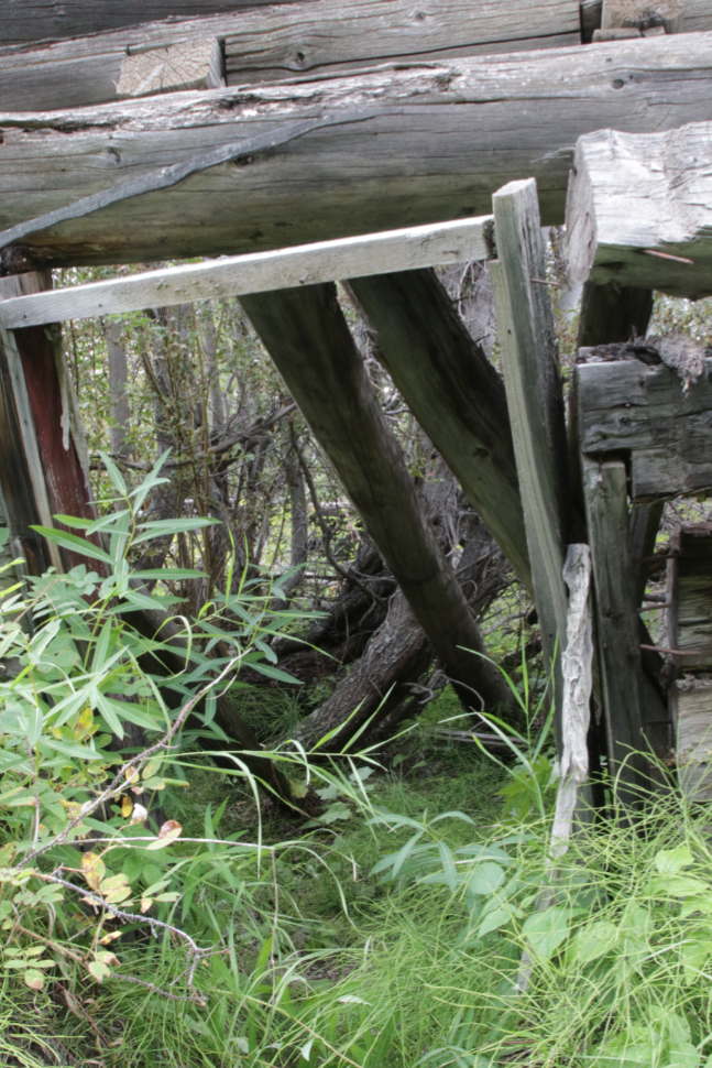
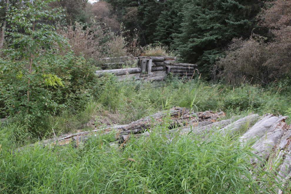
Looking through a door into the interior of the roadhouse.
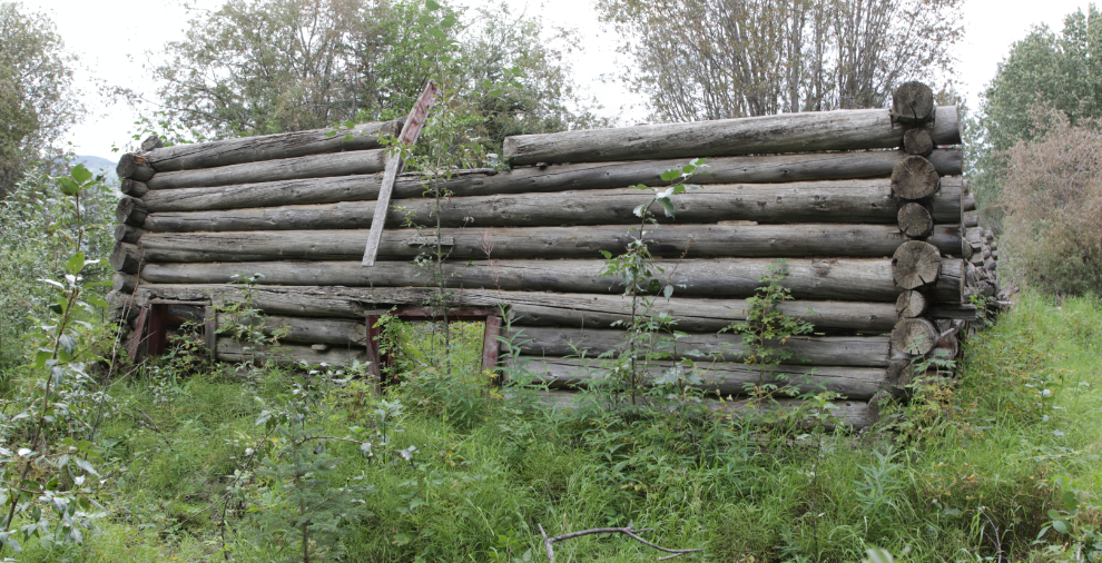
The stables complex is in perhaps even worse condition.
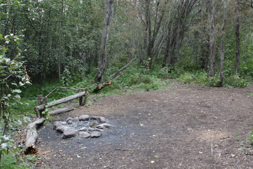
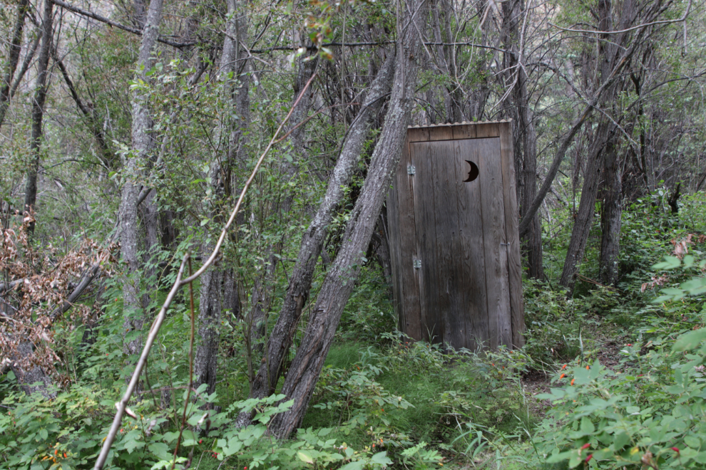
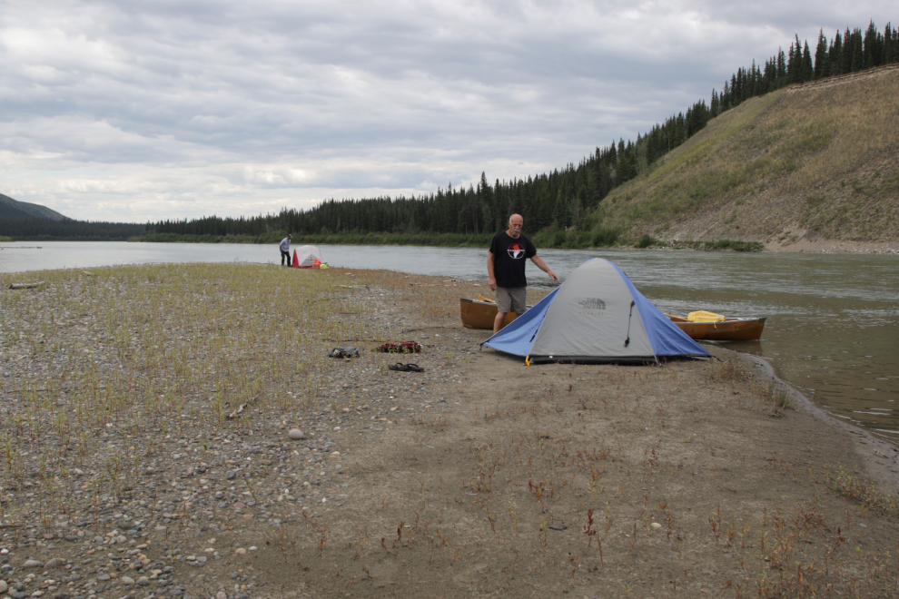
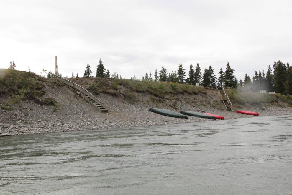
The campground behind the stables is pretty decent.
The light had gone flat in the early afternoon, and I finally said I was tired and not having fun and wanted to quit. We found a good island to spend the night on, below Black Creek. Our total mileage for the day was only 30 miles, and we were now 217 miles from Whitehorse.
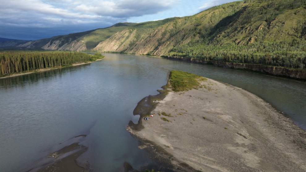
The drone view.
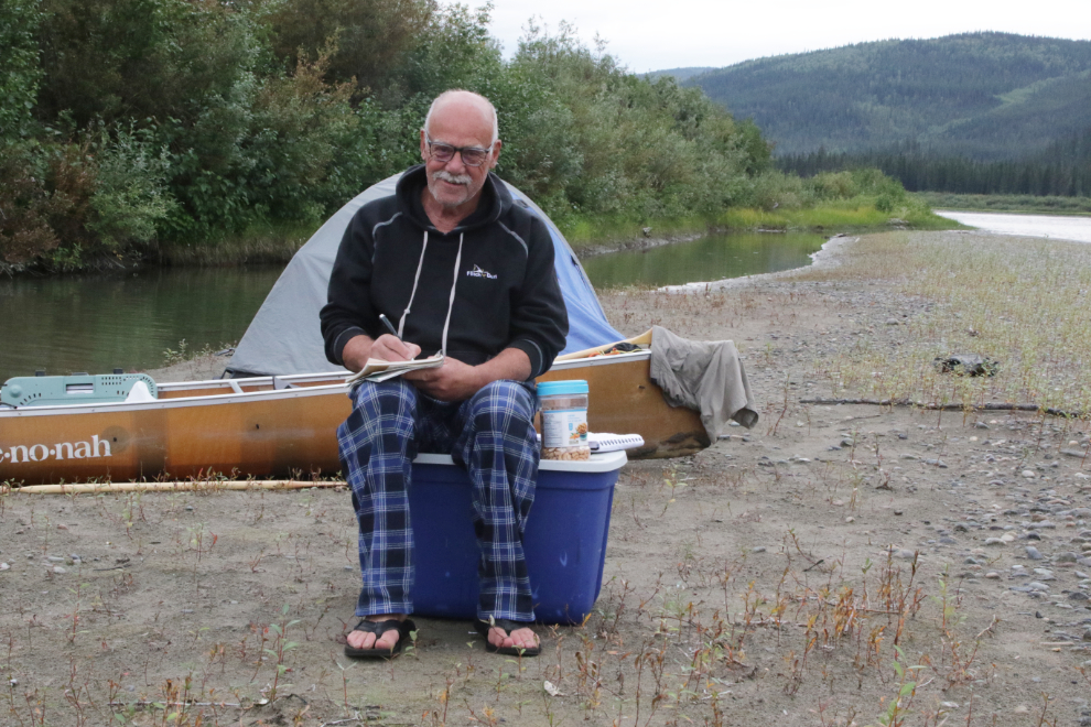
I did some writing on the river, but am largely using the photos to build the story.
I laid down for a nap at about 6:00, soon after arriving, as was often the case. I got up at 7:30, had potato salad for dinner and cashews for dessert, then went back to bed at about 9:30. Half an hour later, though, an orange glow got me up and I shot a couple of photos of this lovely sky.
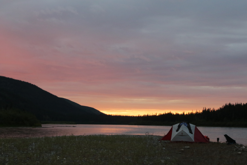
August 16/17: Camp #6 – Lat: 62.401313, Long: -136.618616. Elevation: 1,564 ft.
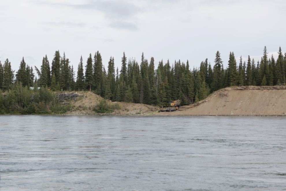
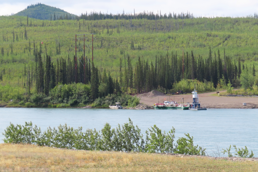
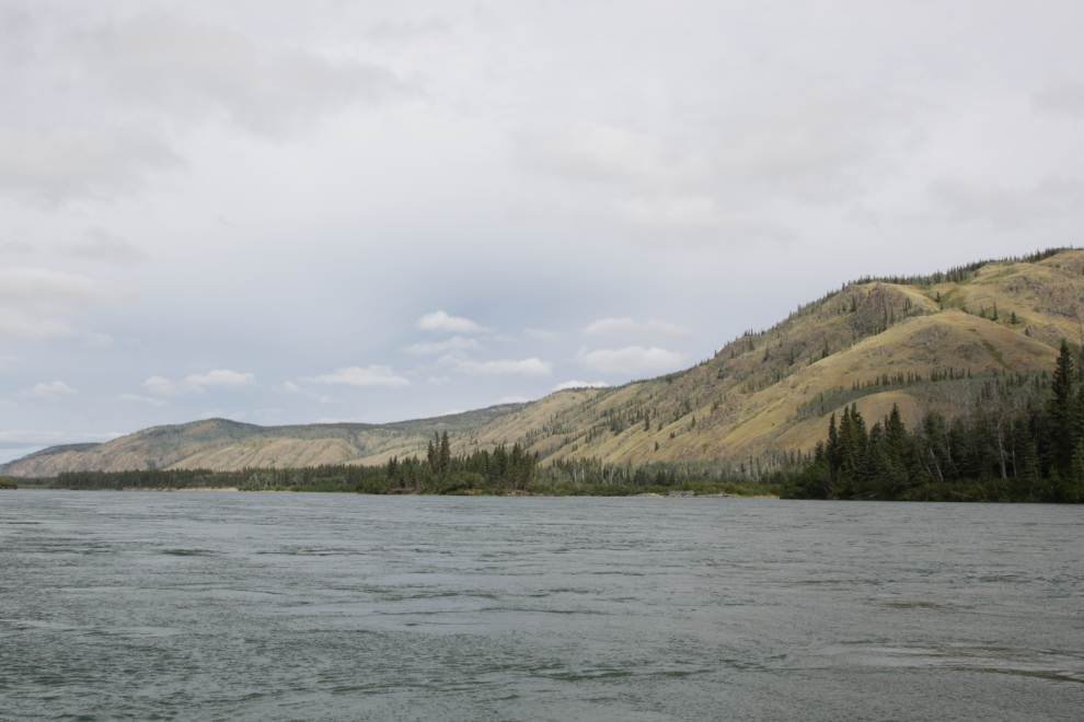
Sunday, August 17th, Day 7 of the trip. The first photo was shot at 10:50, a little over an hour after we got back on the river – the light was flat and the country not inspiring. From the highway, you would never know that Minto exists, but from the river there is a lot going on. I expect that water trucks for nearby highway construction were being filled here.
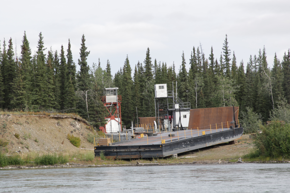
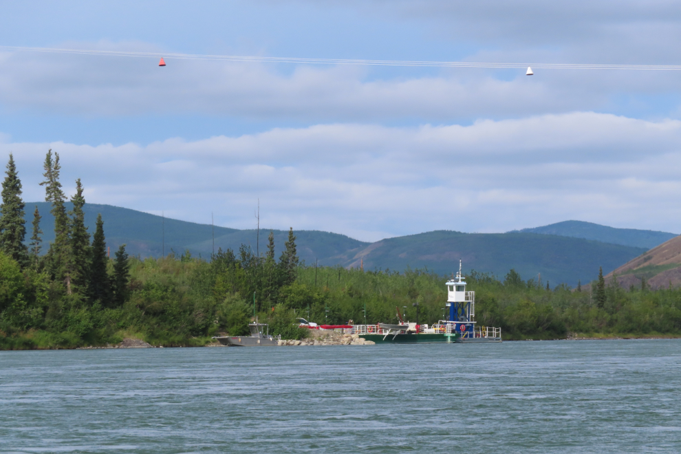
Wow – two ferries and a barge, no doubt from the days when the Minto Mine was operating – the copper-gold property was abandoned in 2023.
Renton Rock, 3 miles upriver from Minto.
Someone’s dream under construction.
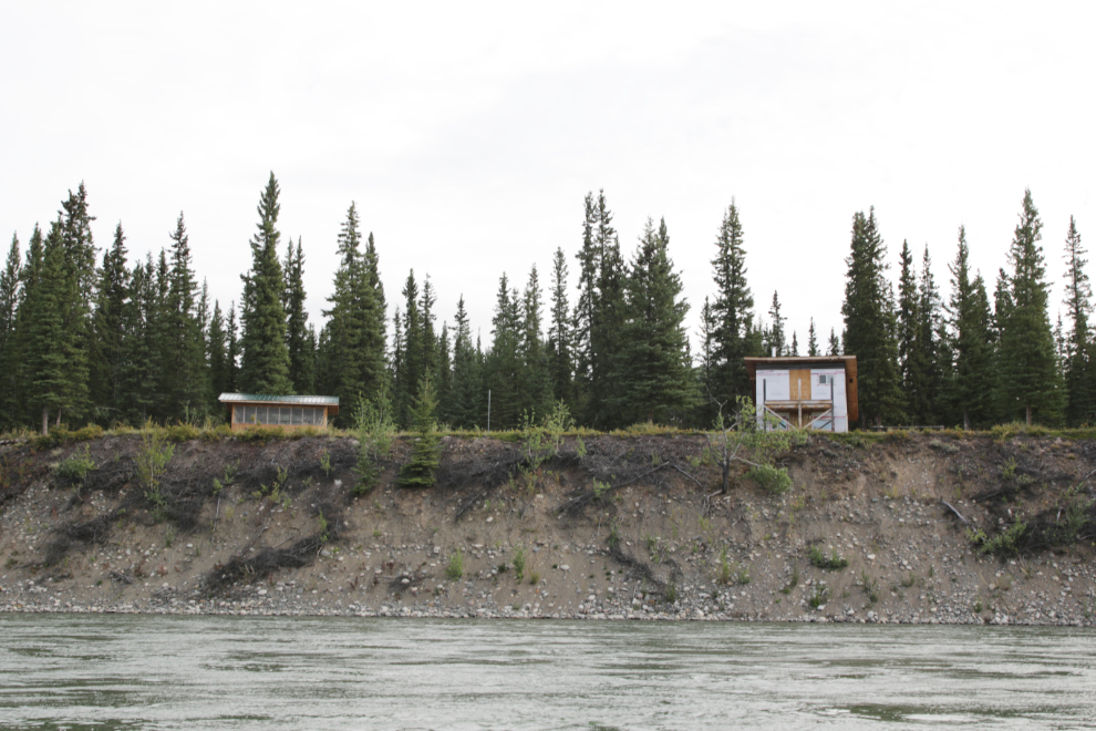
There are some charming properties along the river.
There was still one ferry in operation to access the Minto Mine. Two months ago, Selkirk First Nation made Canadian history as the first First Nation to assume ownership and operational control of a mining operation, though I haven’t seen yet what their plans are.
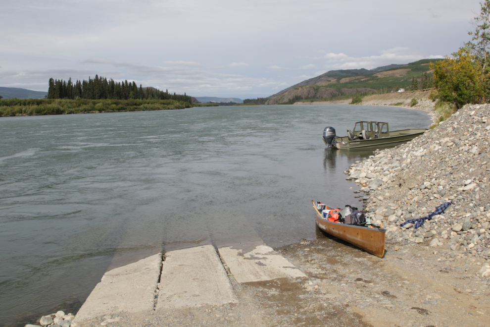
The landing is rough for a canoe, but I wanted to see what the site looked like – while I always brought my bus tour guests here, it had probably been many years since I’d been in.
The northern part of the old Minto townsite is now a large Selkirk First Nation culture camp.
A look west across the river to the ferry landing.
I was very pleased to see this cabin and cache still intact and respected.
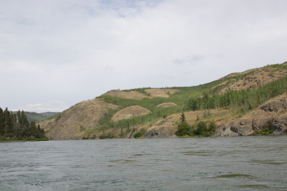
The terrain quickly changes north of Minto. The next photo was shot at 12:20, about 15 minutes after leaving Minto.
We were now back into country where every bend in the river brought wonderful new sights. 🙂
At 12:38 the sight ahead had gotten spectacular.
Five minutes later.
The broad view ahead at 1:05.
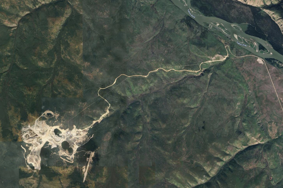
1:13 – the road to the Minto Mine is certainly impressive!
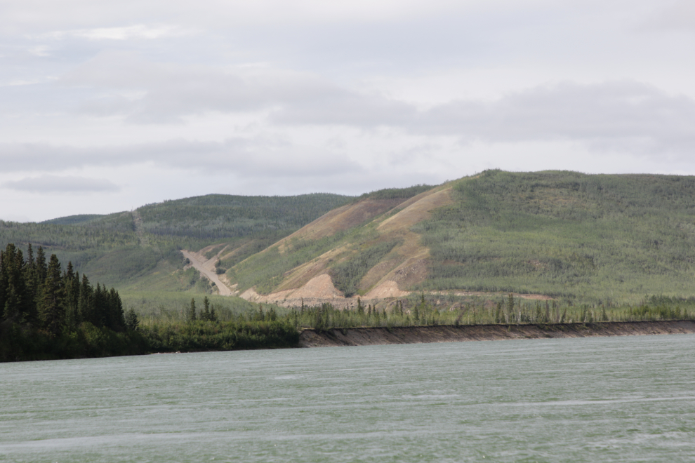
Here’s what the road and mine look like from the air.
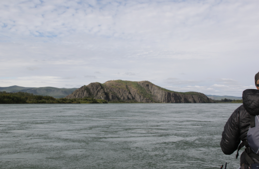
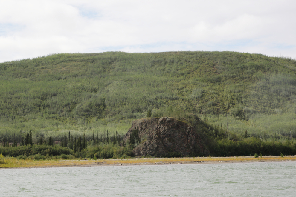
The Rock of Gibraltar, a.k.a. Devil’s Lookout, at 1:26.
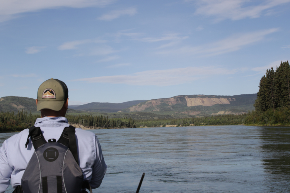
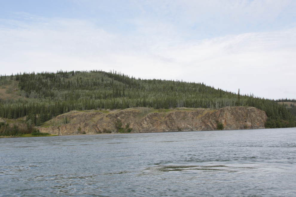
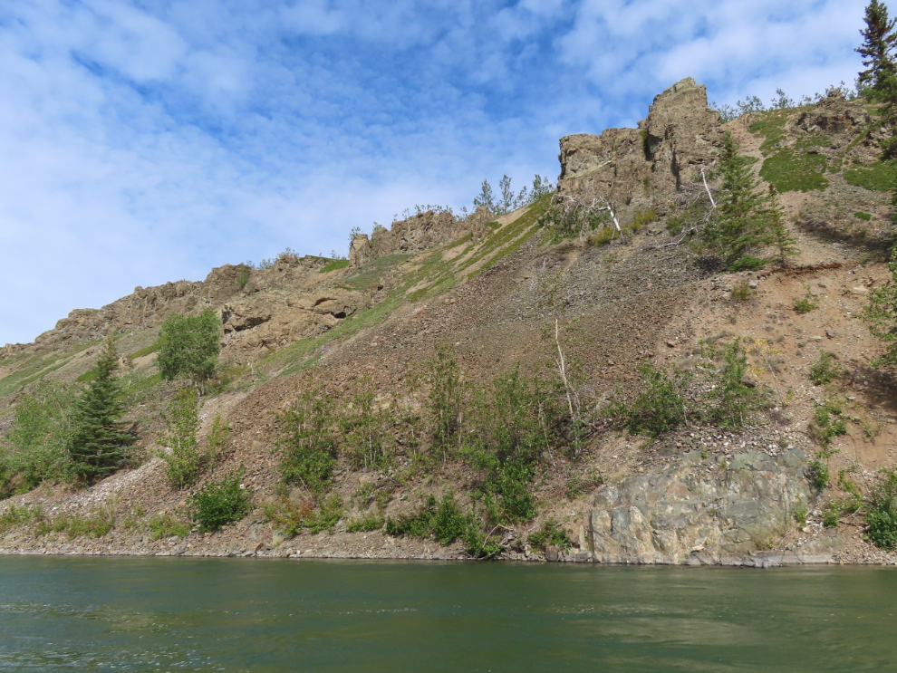
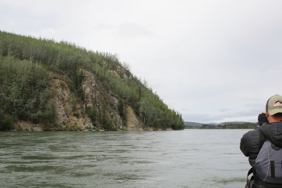
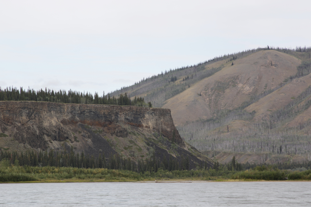
2:06 – I love seeing cliffs like this 🙂
A distant band of thinhorn sheep as we neared the Pelly River. This was shot with 375mm of zoom.
The start of many miles of basalt walls, just upriver from the mouth of the Pelly River at 2:43.
The basalt wall at the mouth of the Pelly, at 3:07.
I remembered Fort Selkirk just suddenly appearing as we paddled down the river 28 years ago, but this time I got way ahead of myself, and just when I expected it to appear, it didn’t. Finally, it just suddenly appeared! 😀
We landed at Fort Selkirk at 3:30 – the next post will show you a bit of the community, then the continued journey down the river.
WOWZA!!! SO beautiful. Love the drone shots too! FIve Finger Rapids looks so much calmer from the look out LOL. I went to Fort Selkirk one year I lived in the Yukon on the free trip offered. Amazing!
Ellen