Boondocking and exploring at Farwell Canyon and its desert
On Day 51 of the trip, June 15th, I headed northwest from Lone Butte to Farwell Canyon, off the Bella Coola road west of Williams Lake. I had intended it to be 2 nights of boondocking, but it got extended to 3, and could easily have been a week.
I pulled away from Lone Butte at 10:45, with a weather forecast calling for a mixed day and then some sun for a day and then all sunshine for two days. Farwell Canyon is a place where photographers particularly welcome the sun.
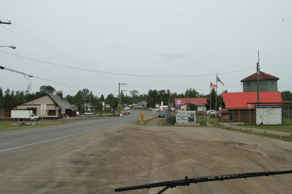
It’s 170 km from Lone Butte to Farwell Canyon – a nice easy day through pleasant country. Much of the route is on BC Highway 97, seen in the next photo.
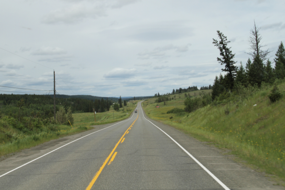
Some fairly major highway re-construction south of Williams Lake was a minor delay.
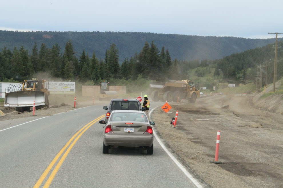
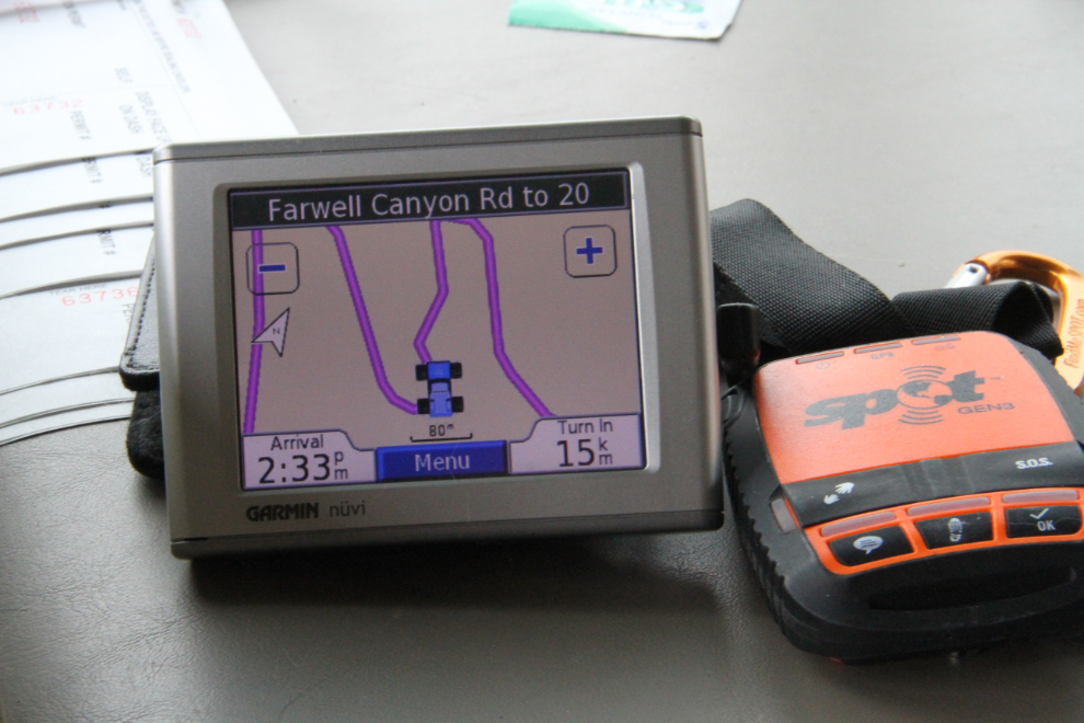
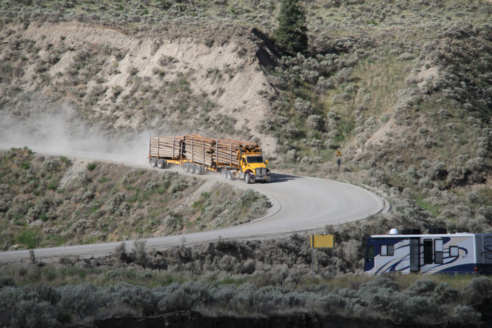
At 1:20, I turned south on the Farwell Canyon Road. This is a major logging route so kept in decent condition (though it can get very dusty), and my destination was 22 km ahead.
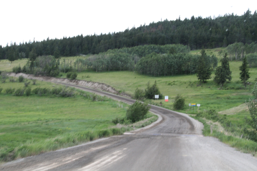
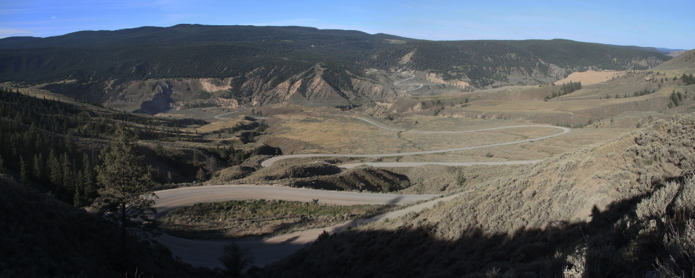
The Farwell Canyon Road has miles of switchbacks to get down to the Chilcotin River and then back up into logging country beyond the canyon.
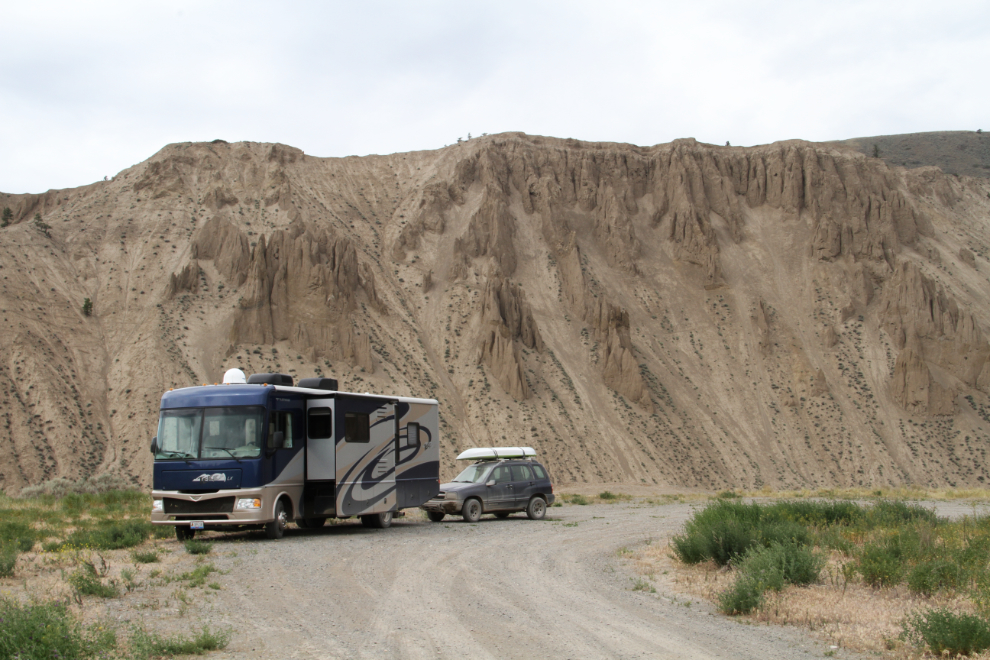
By 2:00, we were all set up, ready to do a lot of exploring and a lot of relaxing. At Farwell Canyon, there’s no wifi, no cell service – you’re even out of the range of any radio stations. There are also very few other people – it’s just you and this incredibly powerful place.
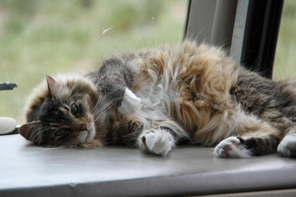
As always, Molly quickly showed the rest of us how to get into the “relaxing” part of this stay 🙂
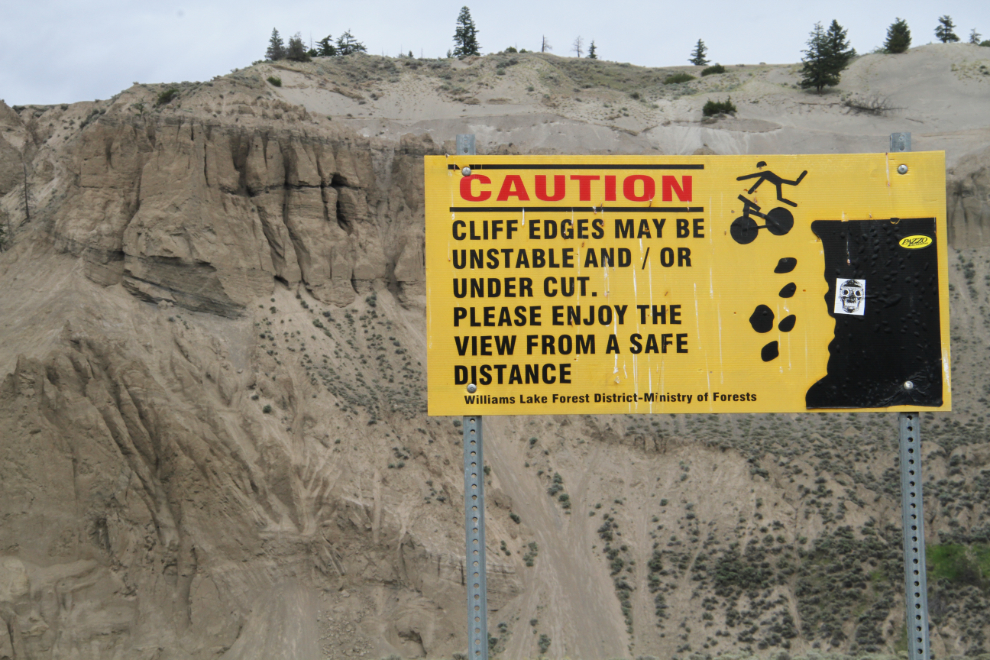
A couple of signs warn of the danger of the cliff we were parked at the top of. Surviving a fall would be unlikely.
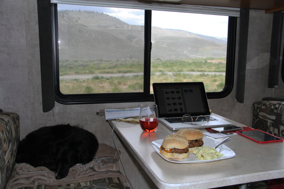
A very long dog walk got things off to a good start, and then after feeding the kids it was time for a big dinner for me. The wine is a special batch I built for Cathy, with half the usual sweetness and alcohol content – a nice summer refresher.
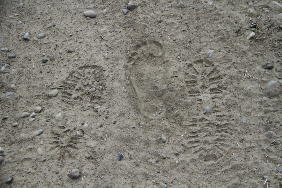
Three much younger guys were relaxing down on the river beach. Their footprints show their different ideas about how to enjoy this country.
For the initial few walks, Bella and Tucker were on leash most of the time, until they got used to the new sights and smells. Dangers abound there, and regardless of what some other people think about them being on leash in a place like that, their safety is paramount. They soon got to be free for most of the walks to and from Pothole Ranch, seen in the next photo.
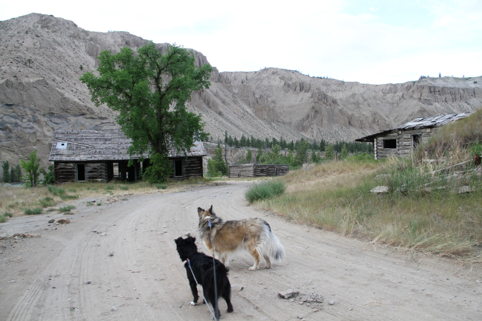
Back up at the RV, marvelling at what Mother Nature has created here.
A couple of fellows about my age stopped to chat and asked about a good camping spot for a tent. I suggested Pothole Ranch, and they set up camp right below me. They were on their way to the Bowron Lakes for an 8-day guided canoe trip around the circuit, and I told them how incredible it was when my best friend Randy and I did it in 1967.
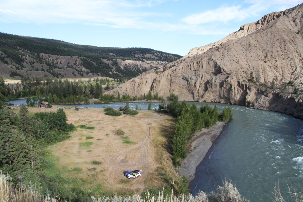
A telephoto view of the Pothole Ranch from the cliff edge.
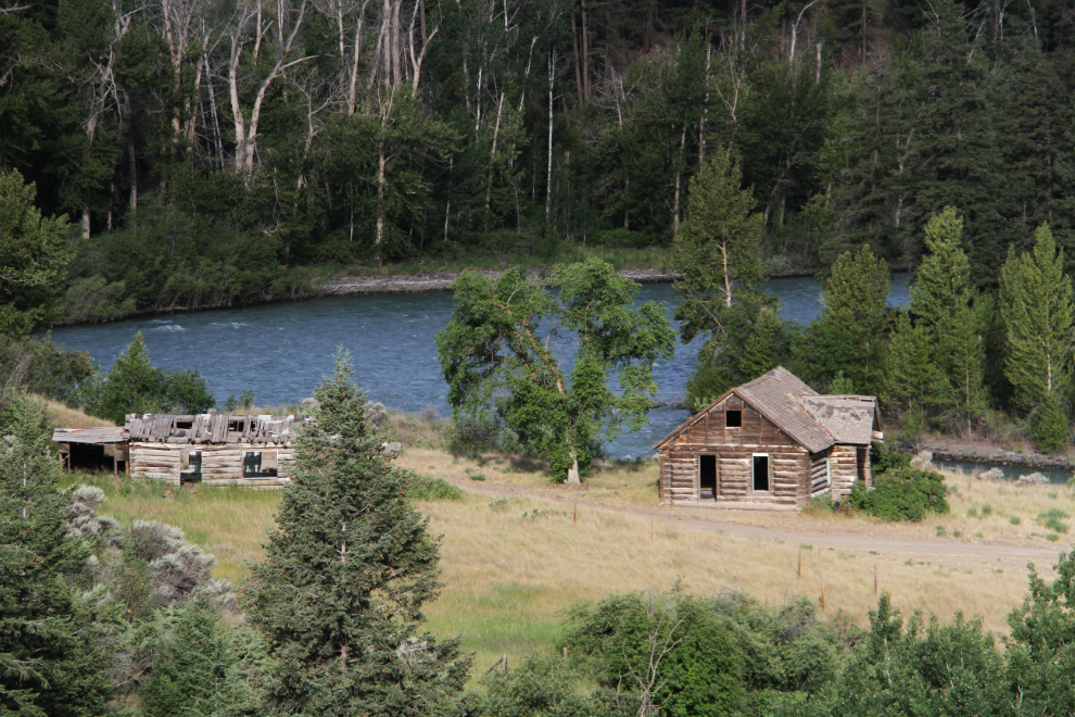
The road down to the Pothole Ranch wasn’t suitable for my RV last year, and though I was surprised to see that it’s been graded (for a Highways water truck, I expect), I prefer being up top. Among the reasons, I like trucks, especially logging trucks, and one goes by about every 10-15 minutes on weekdays.
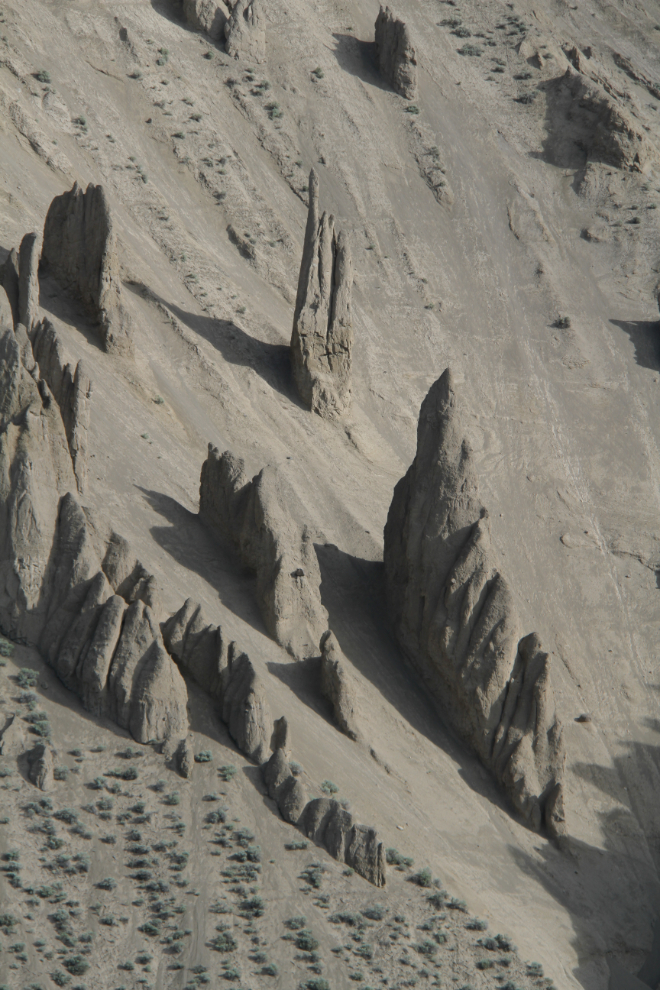
It’s hard to judge scale with the sagebrush, but I’d guess that needle spire at the top of the next photo is close to 30 meters (100 feet) high. I planned on hiking up the river from the bridge to see how close I could get, but ran out of time (and need to keep some exploring for next time, anyway).
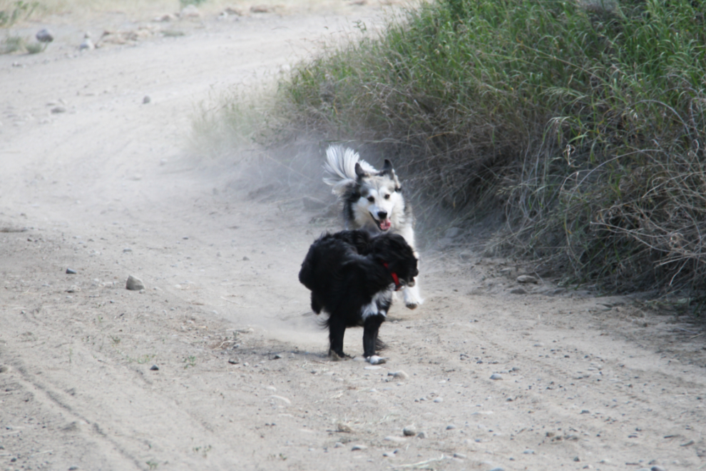
Whoohoo, freedom to raise dust, down at the Pothole Ranch! 🙂
I’ve taken a lot of photos at the Pothole Ranch the past 3 years, but am still finding new subjects, or the same subjects with different lighting.
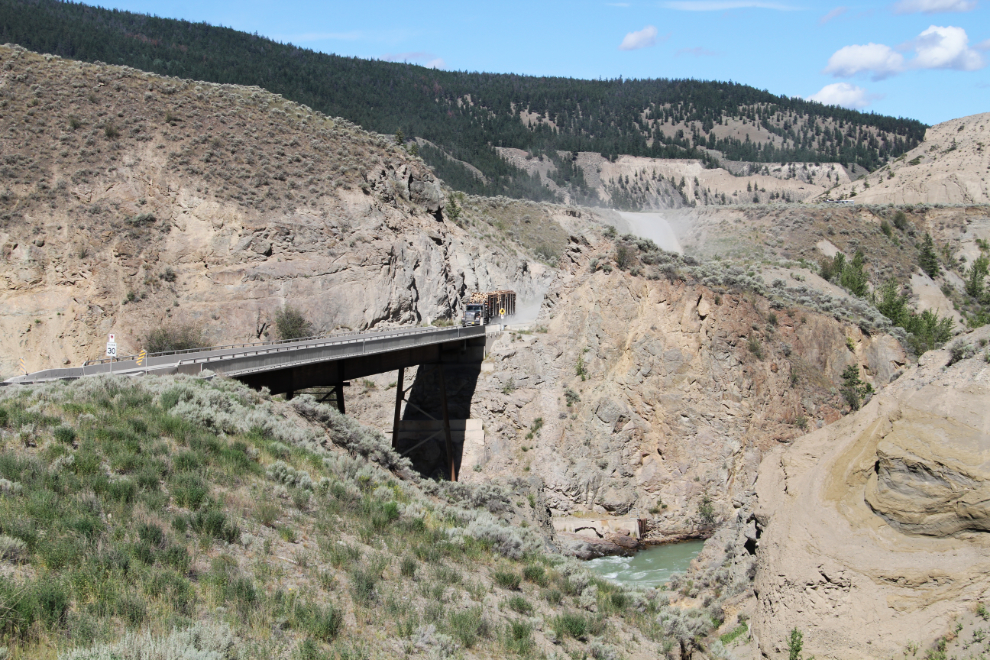
Time for a little drive, back up the hill. A logging truck is just starting across the bridge. I let him go by so I could wander slowly up – though he wasn’t exactly going up quickly!
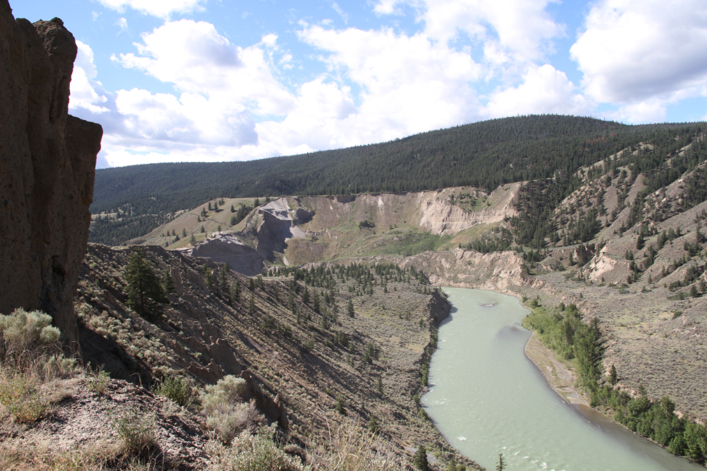
Looking down the Chilcotin River. I expect that that’s a fine rafting trip – lots of fairly gentle water with a few exciting rapids thrown in.
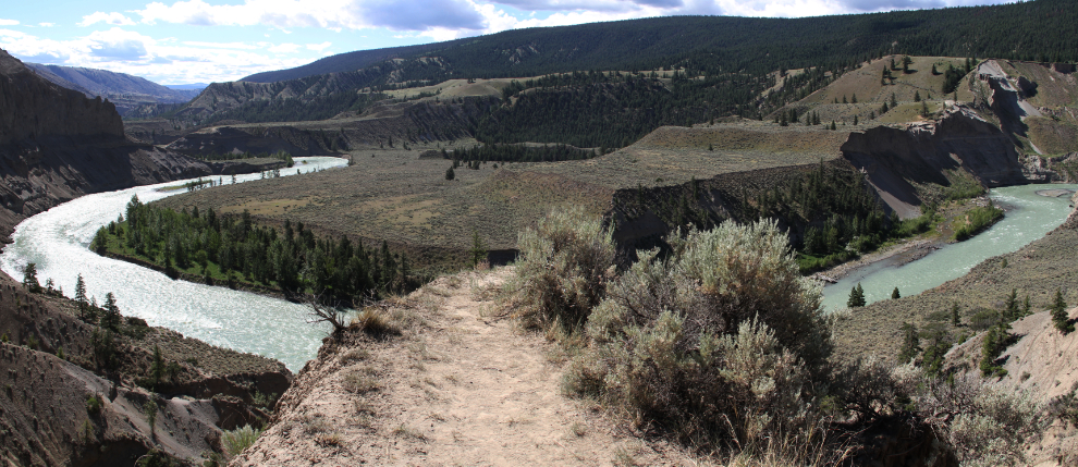
This narrow peninsula sticking out between two deep ravines has attracted many walkers, judging by the trail. It doesn’t go anywhere except a cliff edge a few feet beyond what you can see.
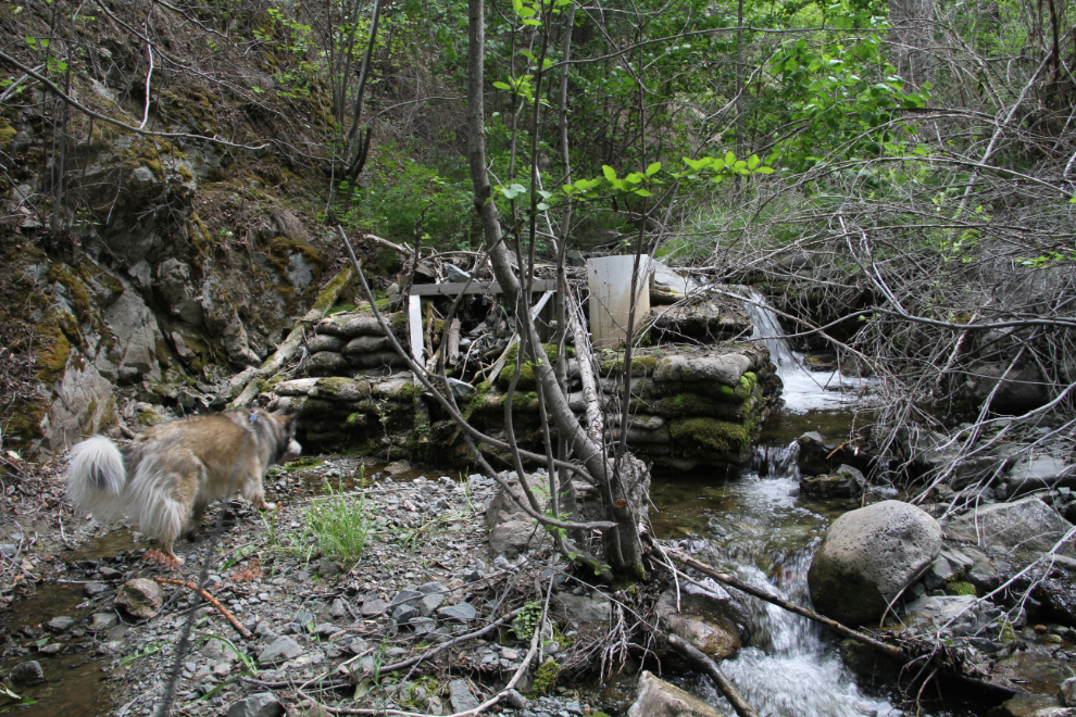
On that wander, I met a fellow in an RV who was looking for a big waterfall that a woman at the Williams Lake Visitor Information Centre had told him about. I told him that I’d covered a lot of ground in the area and had neither seen nor heard about a waterfall. There’s not a lot of water around to fall, to start with. When we got back to the motorhome, though, the kids and I went exploring, to the only creek that could have a waterfall. We reached a very old little dam, and the brush beyond was too thick, and the grade too gentle, to warrant continuing the quest.
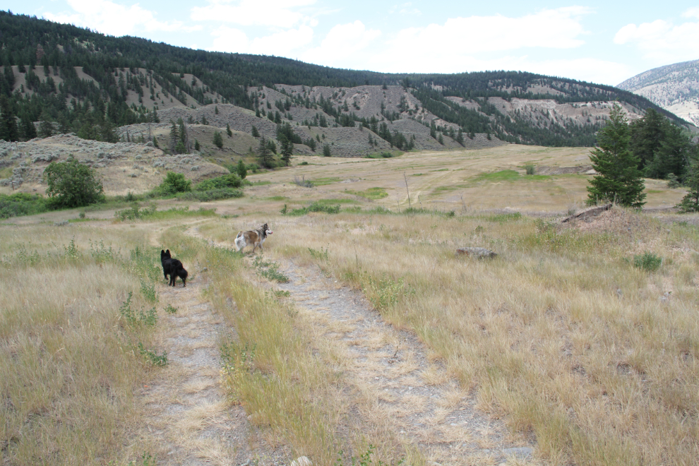
From that creek, we walked up a road that hasn’t seen traffic of any kind in many years. It led to this beautiful ranchland that’s out of sight from the canyon viewing areas or the Pothole. A great place to Bella and Tucker to blow off some steam.
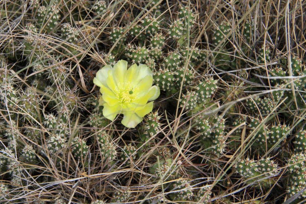
Damn! The cactus can be beautiful, but not when it’s stuck to your dog’s paw. Tucker learned in Lillooet and now Bella got her lesson. I didn’t have a shirt to wrap around my hand to get it off as I did in Lillooet, but my shorts served the same purpose. Ouch…
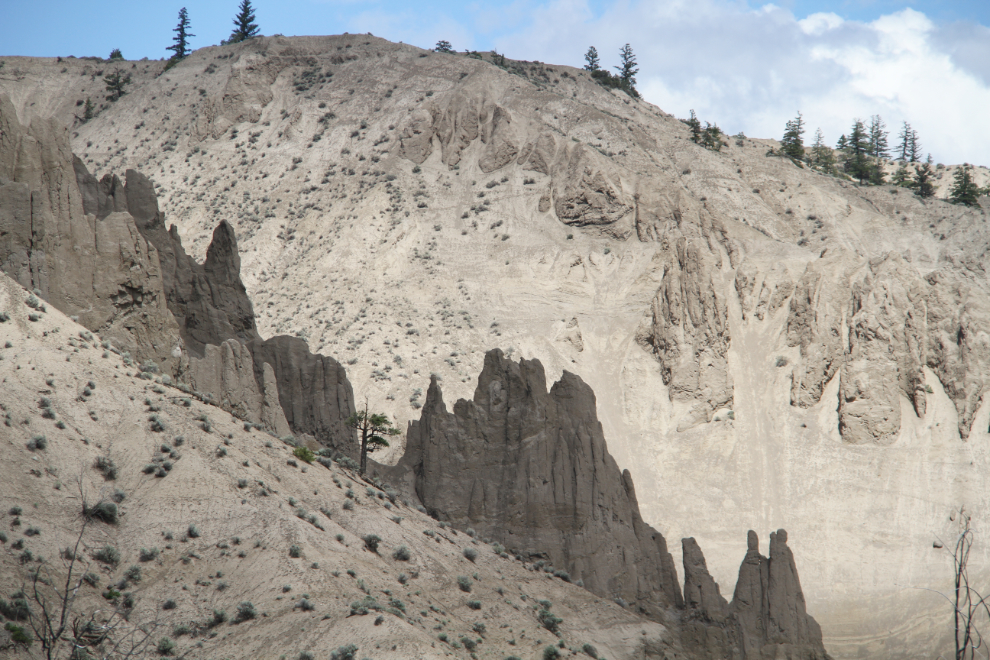
The mixed clouds and sun made photography challenging in many ways, but also brought on some really interesting lighting on the canyon hoodoos.
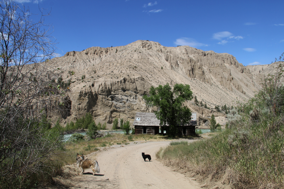
We weren’t nearly ready to quit yet, so went back down to the Pothole Ranch.
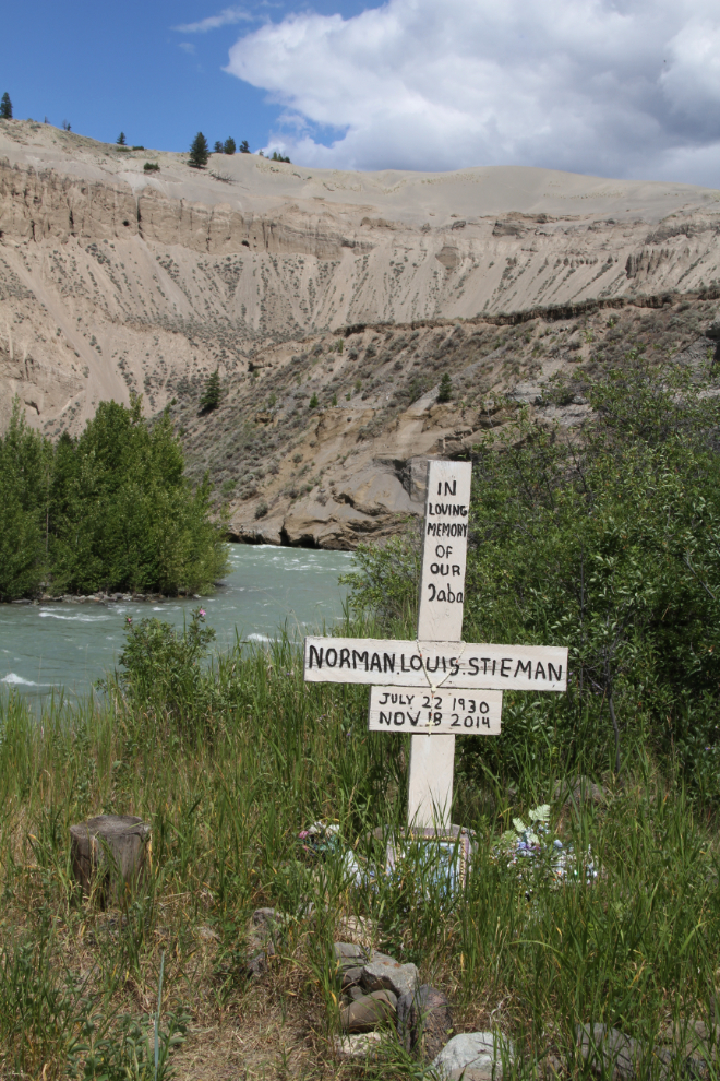
From up top, I had seen a grave marker that I hadn’t noticed before. It’s for Norman Louis Stieman, 1930-2014.
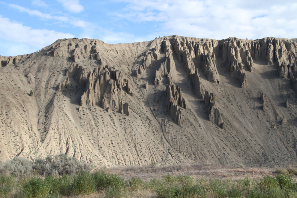
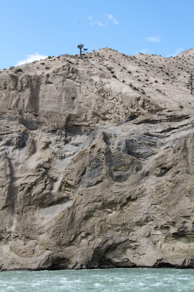
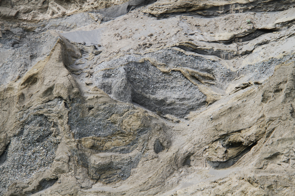
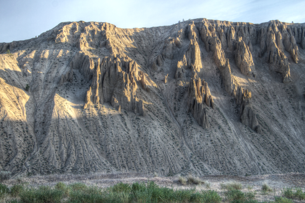
The composition of most of the slopes at Farwell Canyon seems to be quite uniform, but the layering of sands, clays, and gravels in this cliff at the head of the canyon is really complex.
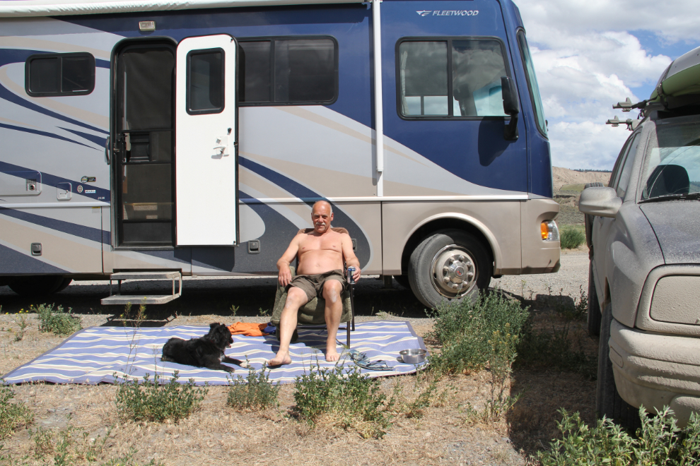
Now it was time to relax and enjoy a beer in the warm sun – the temperature hit about 27°C.
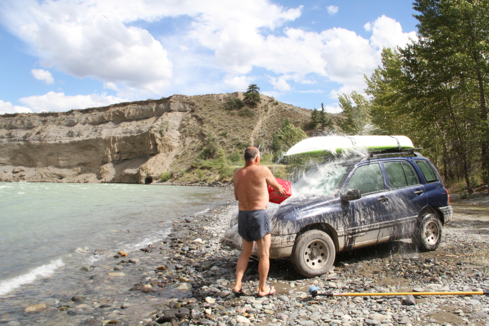
It didn’t take long before I couldn’t stand to see the poor Tracker so dirty. Luckily, the do-it-yourself Chilcotin car wash was only a couple of blocks away 🙂
Dawn at Farwell Canyon – 04:45. Wow, what a way to start the day!
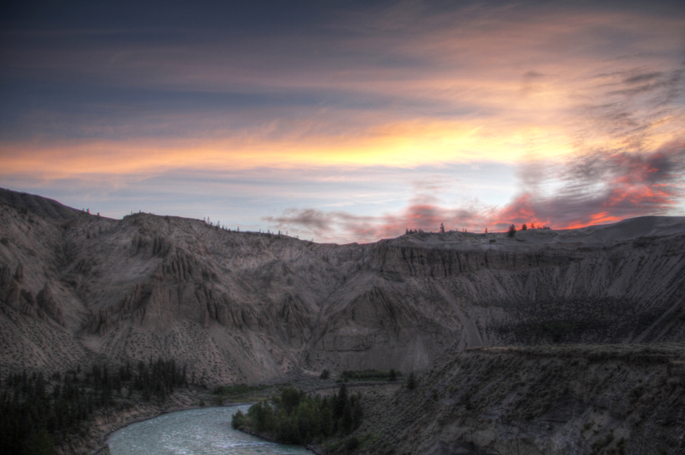
At 06:00, the hoodoos had lit up beautifully.
The next exploring would be done without doggies – we’d had a busy morning that I’ll tell you about in the next post, and they were due for a nap anyway. I drove back up the hill to the start of the main access to the Farwell Canyon Desert.
The plaque on the rock at the trailhead is “In memory of Wayne Dale Fisher, Gang Ranch Cowboy. Born March 11, 1945, lost in flash flood April 12, 1962. Owner of future famous bucking horse Paper Doll.”
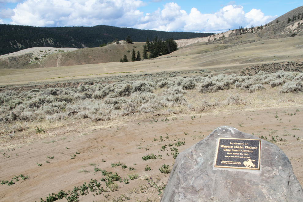
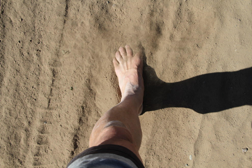
That soft dirt felt so good! But the trail soon required footwear.
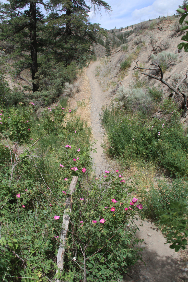
The trail goes steeply down and back up again to cross a couple of deep ravines. In the bottom of the ravines, wild roses add fragrance to the dry air.
A few hundred meters/yards from the roses, a very different landscape, suitable for cattle ranching and not much else without irrigation. Well, cattle ranching and hiking for a few 🙂
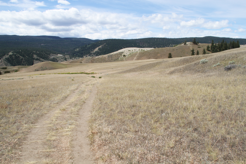
This is the view from the high point on the access trail to the desert. Stunning, breathtaking, incredible – take your pick of superlatives.
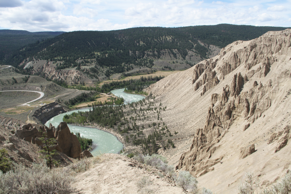
Off to the left of the view in the photo above, the small desert, with its large and very active dunes.
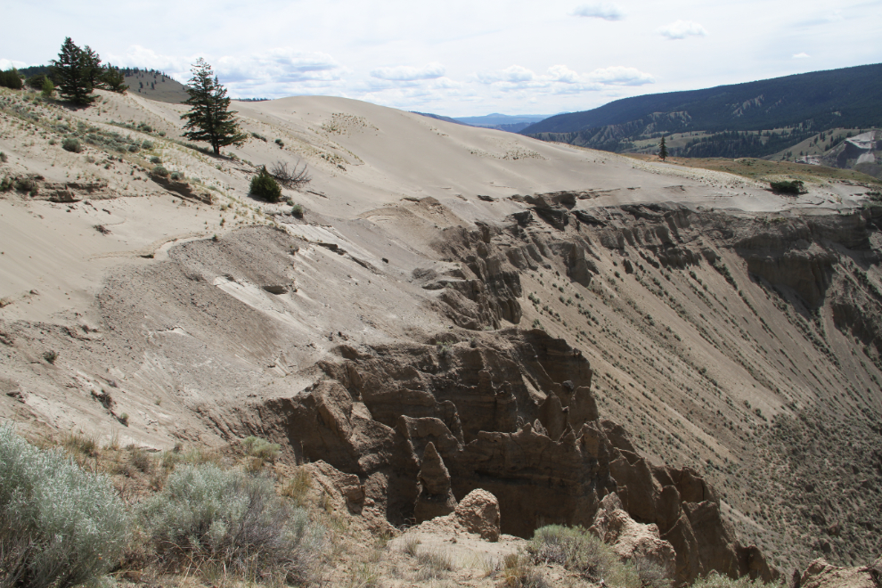
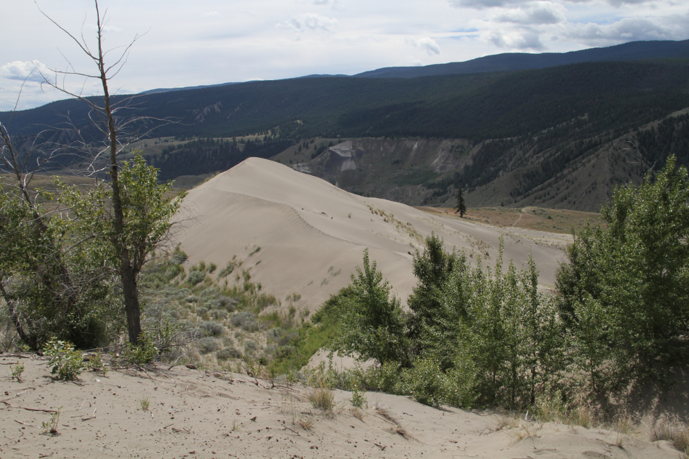
Most of the dunes are slowly being stabilized by vegetation – grasses, wild roses and trees – but the dune in the centre is still resisting all colonization efforts.
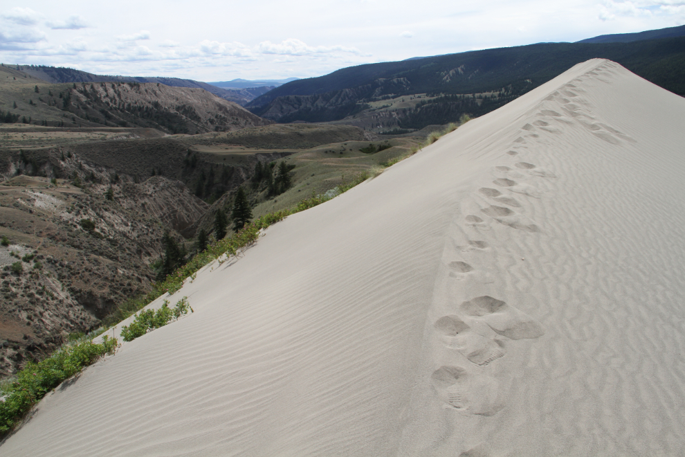
The wind very quickly removes footprints. I had seen the person who made these leave via a shortcut as I approached.
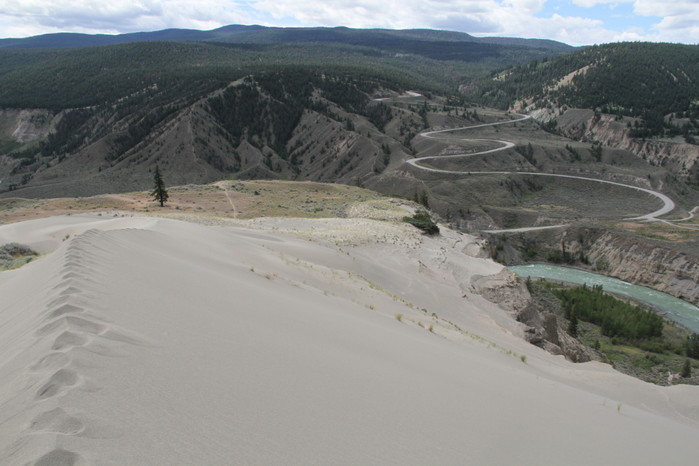
I saw people reach the desert last year by climbing up from the bridge, but had a look at that route this time and choose not to use it.
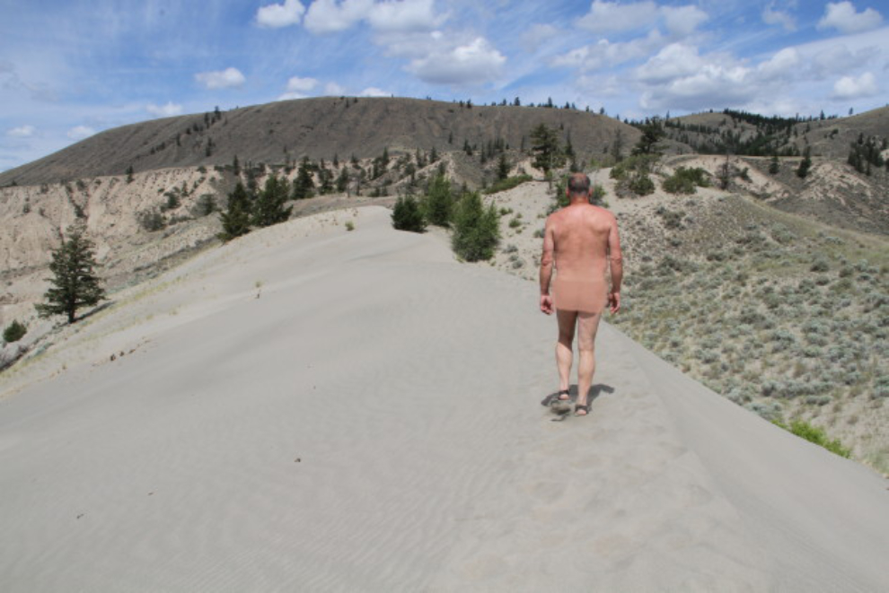
The sand was too hot to walk with bare feet 🙂
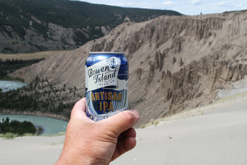
It’s always nice to be able to celebrate these little victories with a cold beer. Bowen Island Brewing’s Artisan IPA tasted really good on the coast, and was even better here in the high desert.
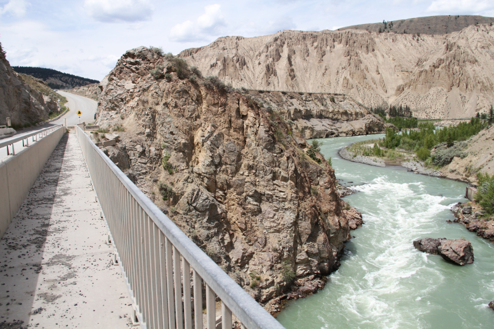
On the drive back to the motorhome, I stopped to walk out onto the bridge for some photos. Usually these one-lane bridges don’t have allowances for pedestrians – huge thanks to whoever made this walkway happen.
The late afternoon of Day 53. A very happy Bella….
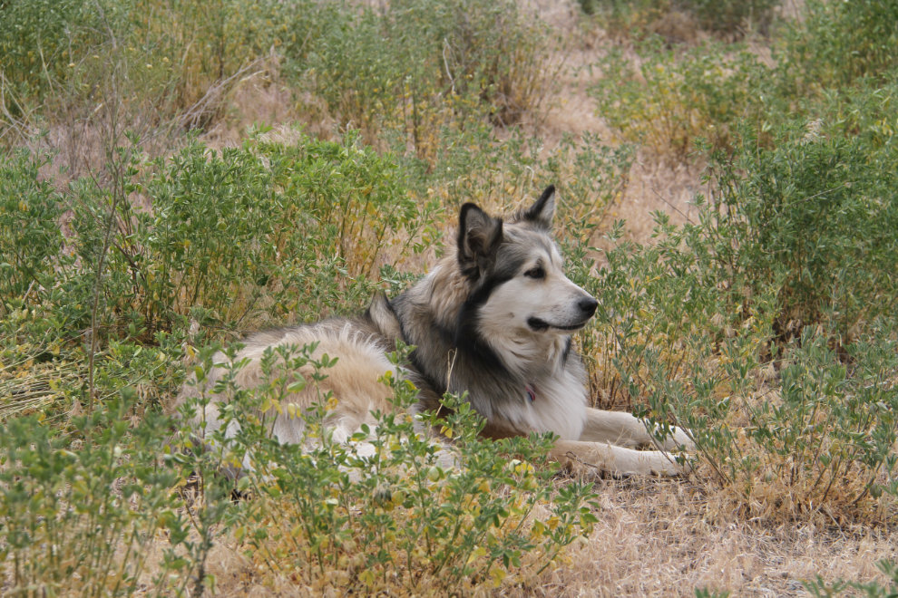
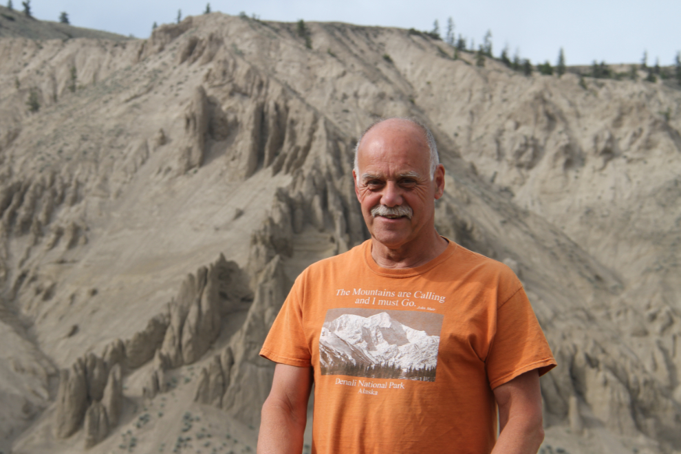
…and her very happy Dad 🙂 I have a strange connection with this dry country. I’ve always been drawn to it, but I don’t really know why. Perhaps I lived here in a previous life. Perhaps I’ll need to just keep coming back until I figure it out.
Before moving on, the next post will be about a 4×4 drive into the furthest reaches of Junction Sheep Range Provincial Park.
