BC/Yukon RVing: Stewart to Whitehorse
By 11:30 on Wednesday, October 7th, day 29 of the trip, we had seen so many amazing places up the Salmon Glacier road that the day should have been over, but it was really just beginning as we pulled away from Stewart. We were really headed home now, though one more night would be required, at some unknown point along the way, though probably around Dease Lake somewhere.
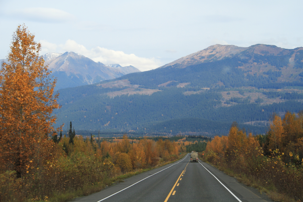
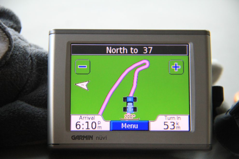
Pulling out onto Highway 37A (sometimes called The Glacier Highway), with the Bear River Bridge ahead and the GPS saying that the next turn would be in 635 kilometers (395 miles), at the Alaska Highway.
At Km 17.8, gates are used to close the highway when avalanches hit the Bear Pass area, which they do quite frequently. The cliffs ahead have some incredible waterfalls – a pullout or 4 would sure be nice so we could stop to enjoy them.
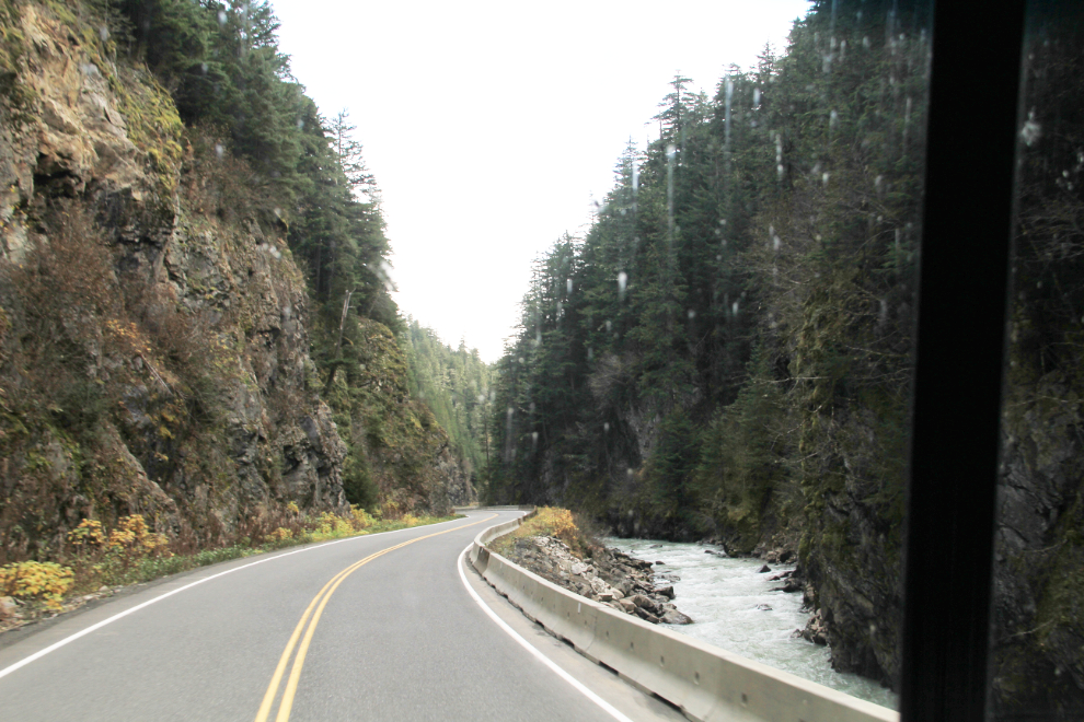
Bear River Canyon stretches from Km 36.5 to Km 38
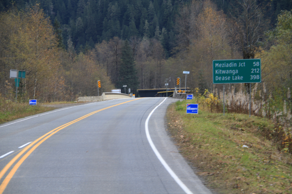
At Meziadin Junction, the junction of the Stewart-Cassiar and Glacier Highways, it was good to see the new lodge offering gas – the first time that gas has been available here in many years. I didn’t really need much, but filled up to encourage good behaviour 🙂 Meziadin Junction is at Km 156.6 of the Stewart-Cassiar (measured from Highway 16 at Kitwanga).
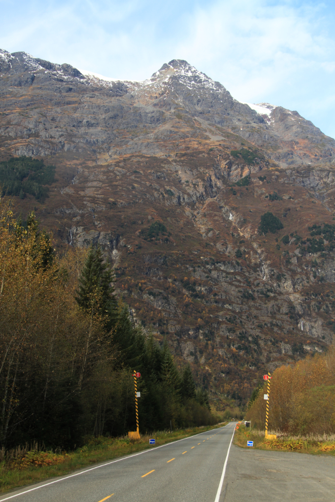
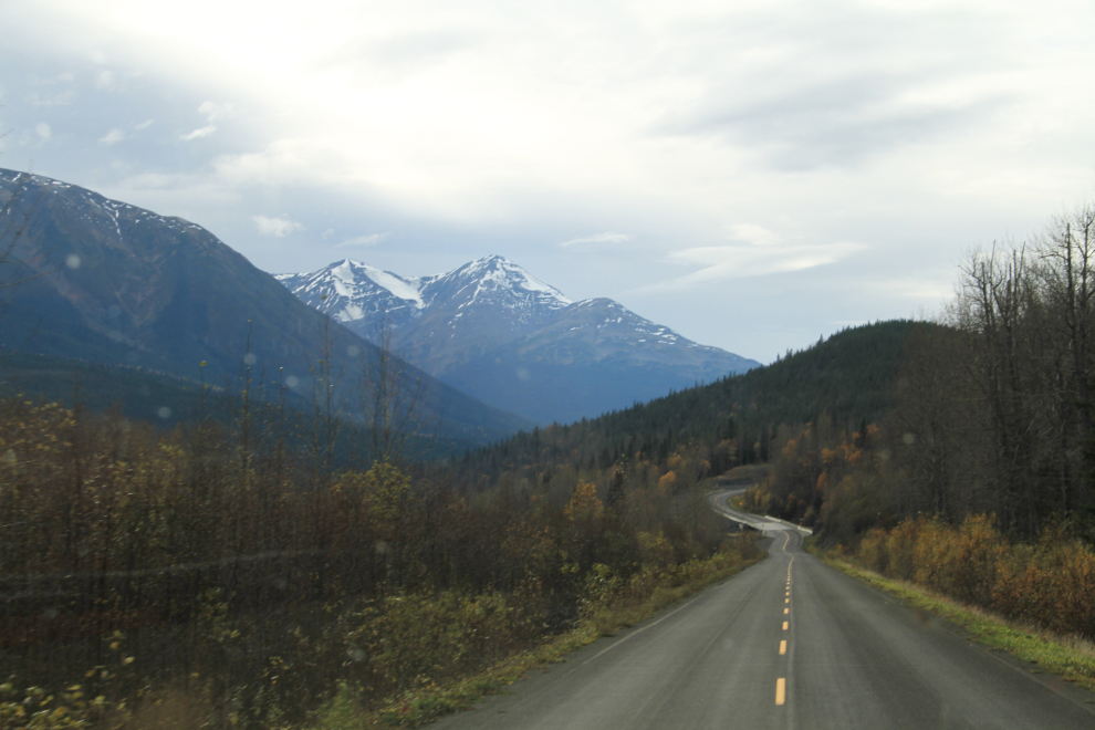
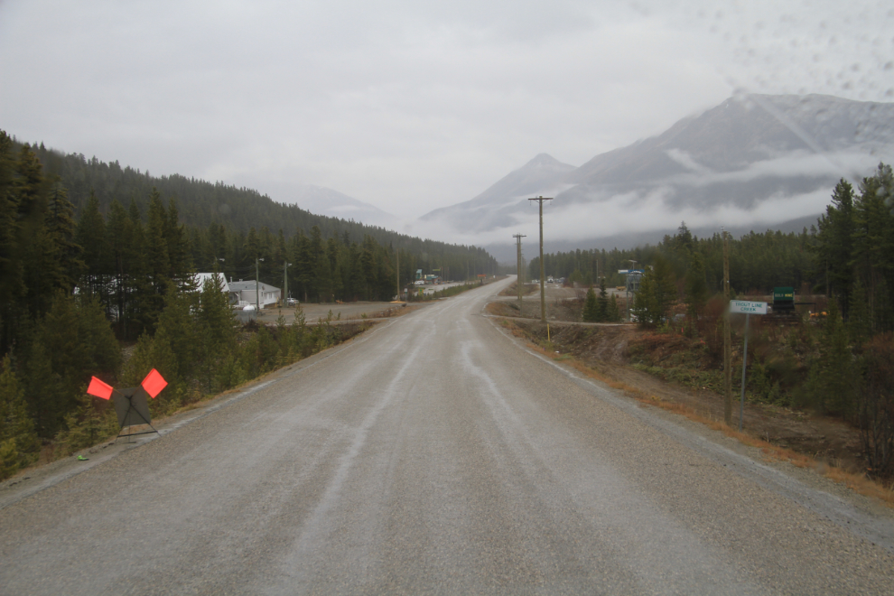
The view ahead at about Km 175.
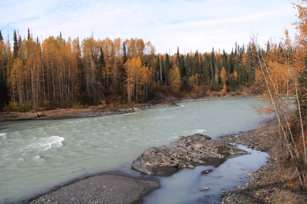
We spent a long time at the rest area at the first crossing of the Bell-Irving River at Km 188. I had lunch, played with the dogs, and chatted with a fellow from Terrace who’s thinking about moving to Whitehorse, away from the crowds.
The Bell-Irving River.
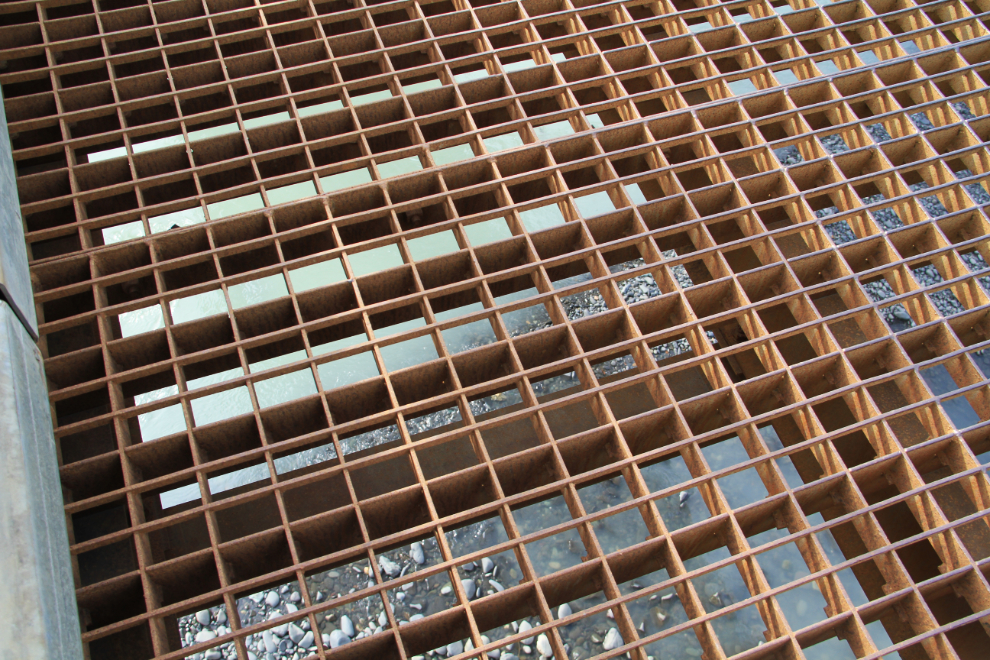
The metal grate deck of the bridge across the Bell-Irving River. It’s okay to drive across unless you’re on a motorcycle, and it’s tough to walk on. Because of the noise the deck makes, locals often call them “singing bridges.”
Northbound at about Km 220.
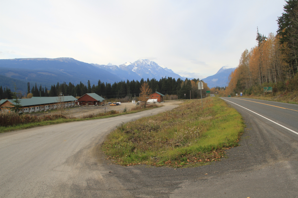
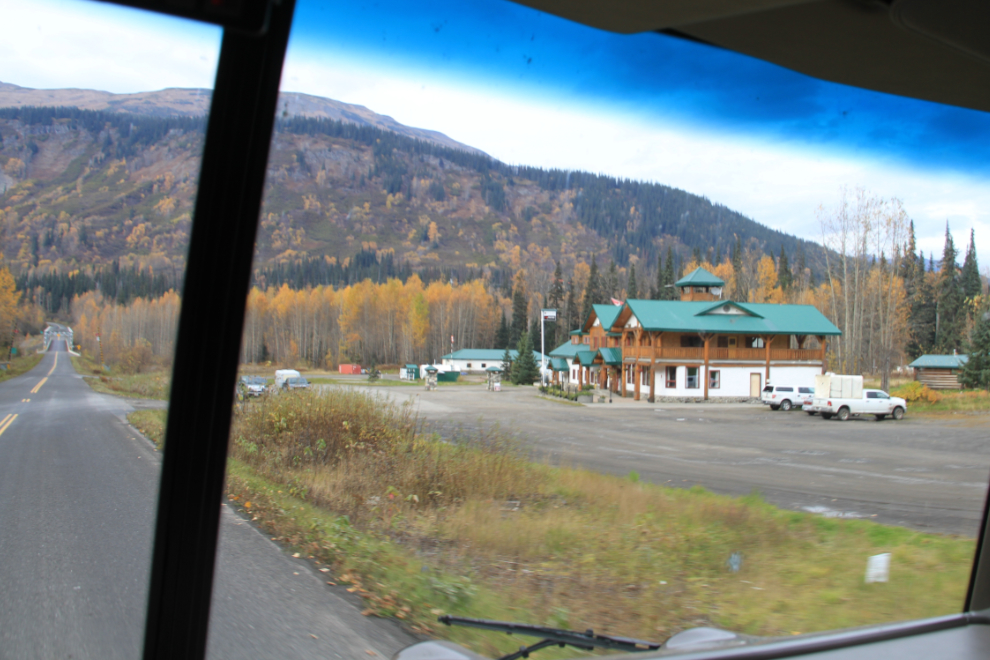
Bell II Lodge has been a fairly regular stop for me year round for many years, for gas, meals, and even an overnight stay for Cathy and I in one of their beautiful chalets.
The second crossing of the Bell-Irving River is just north of the lodge.
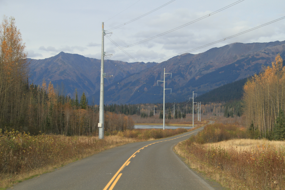
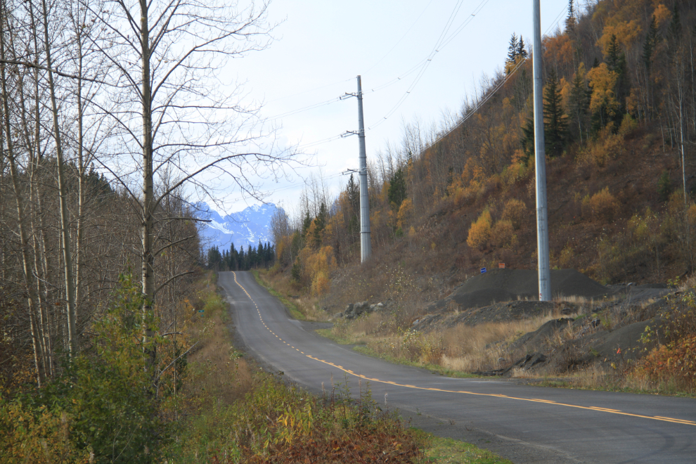
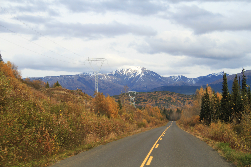
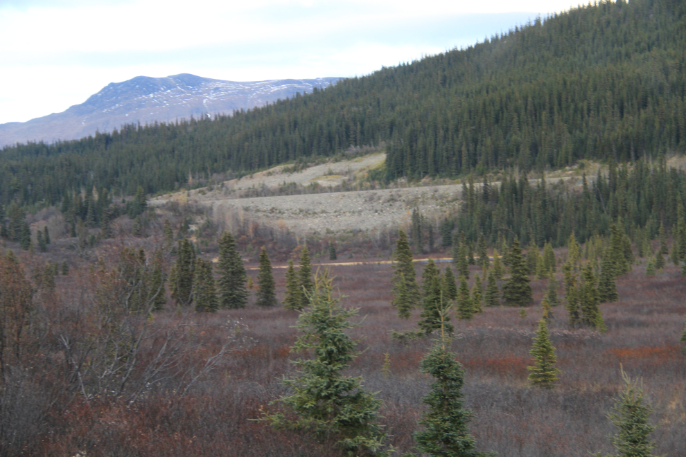
Construction of the Northwest Transmission Line and the extension to Iskut have changed the views along much of the Stewart-Cassiar. While the lines undeniably detract from the scenery, the clearing that they’re in has added views that were previously blocked by trees. This was shot at about Km 263.
Along the Ninginsaw River at about Km 285.
About Km 288.
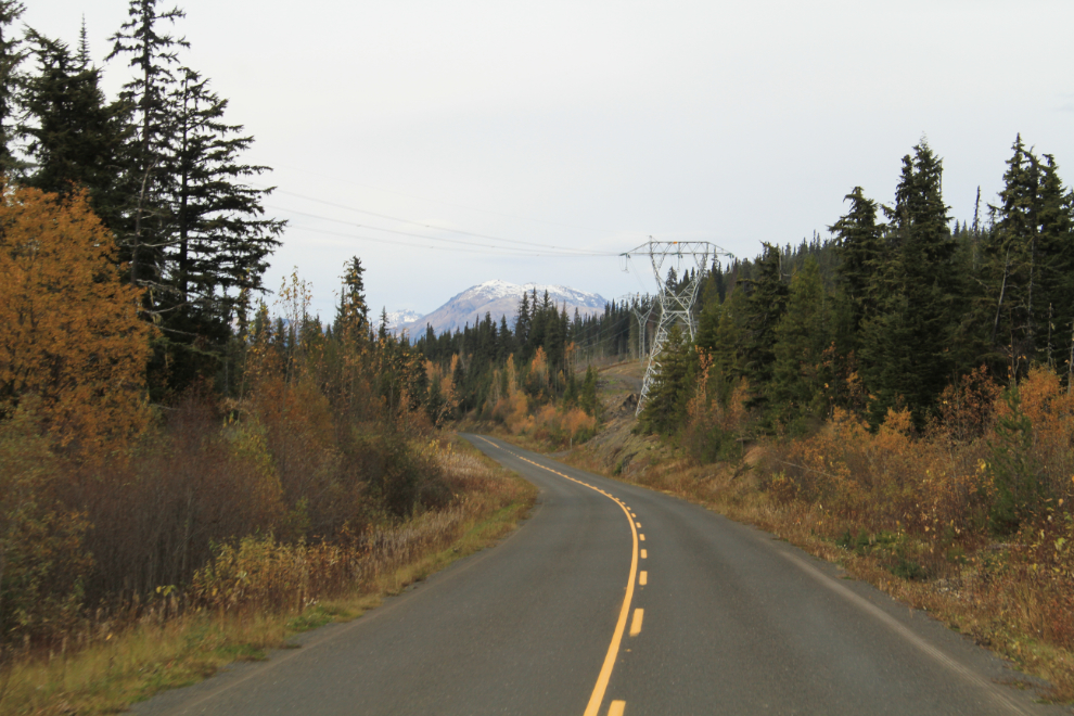
About Km 305.
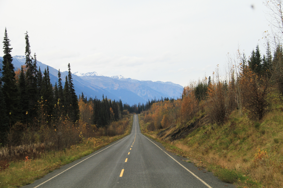
About Km 310. As you can see, the highway in this area is quite narrow and winding, with pretty much no shoulders. The road surface is quite good, though, with few bad heaves or potholes.
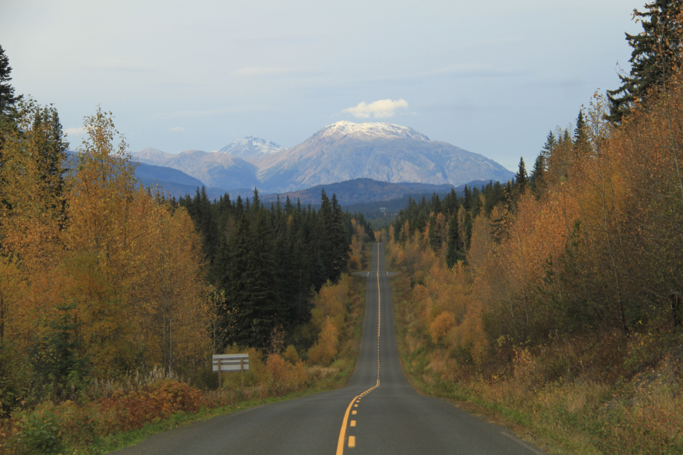
About Km 325.
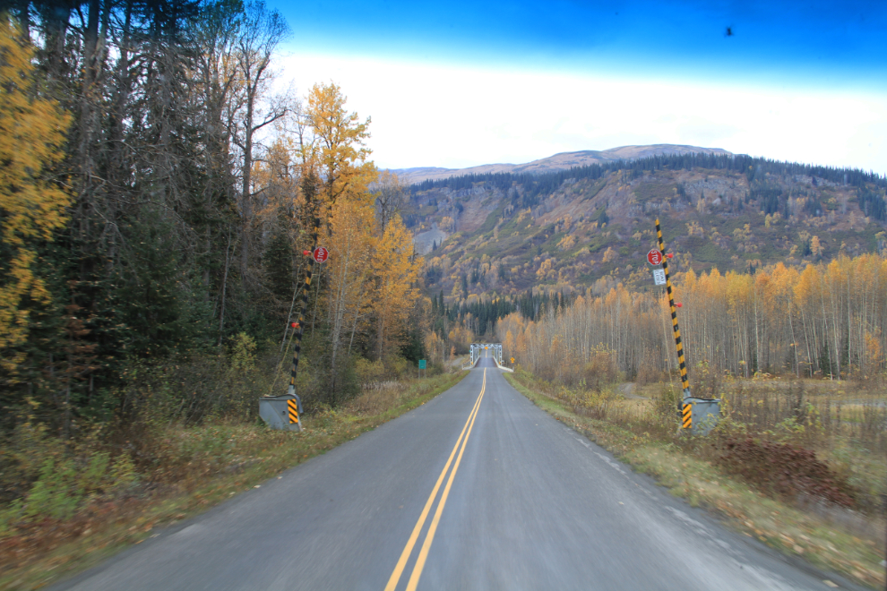
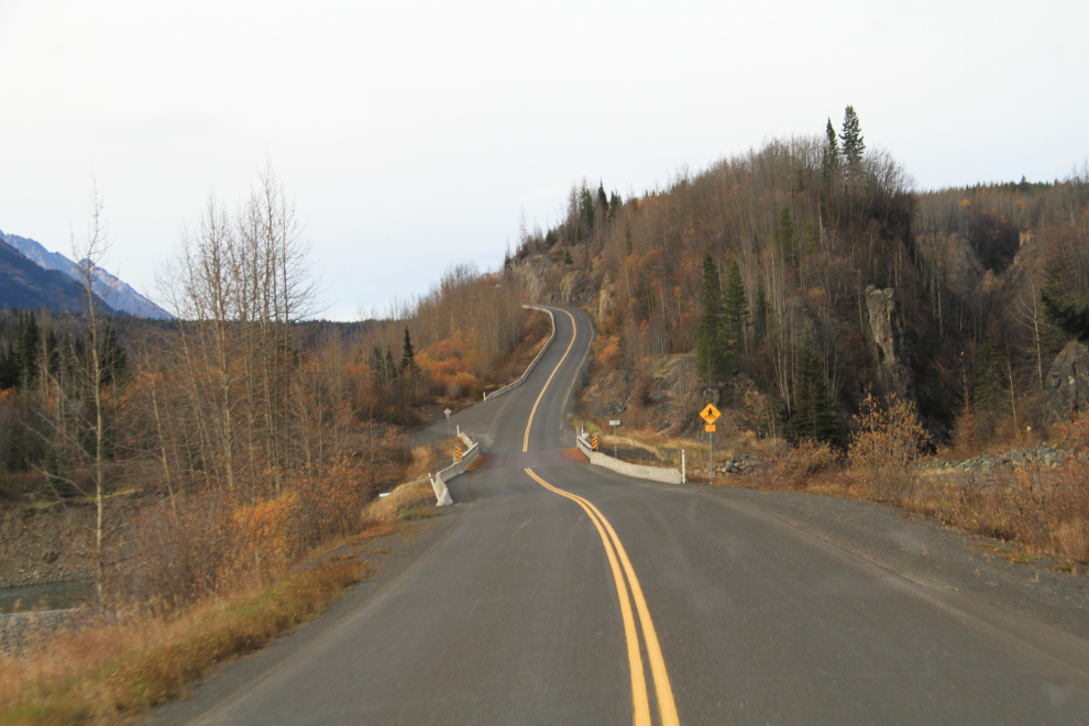
The Burrage River bridge at Km 332.7. The canyon to the right has some great pinnacles and makes for a good short walk. The hill beyond is both long (4.2 km / 2.6 mi) and steep (up to 8%), but having been paved in very recent years, it’s much easier to drive now.
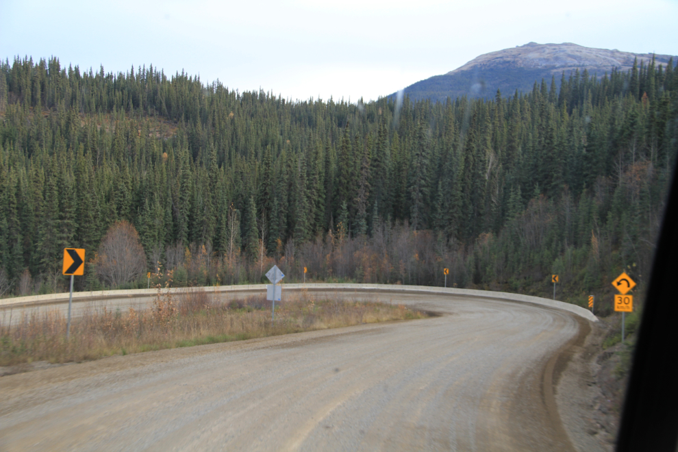
The only gravel left on the Stewart-Cassiar other than some construction at times is a kilometer of the steepest part of the hill at the Stikine River, which also has the only remaining hairpin corner on the highway.
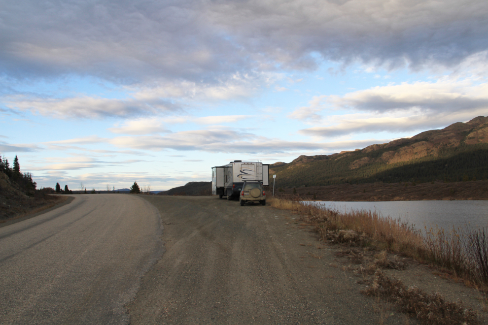
As 6:00 pm approached, I decided that one of the pullouts in Gnat Pass at Km 464 would be our camping spot for the night. The scar in this photo is the grade for the 1970s Dease Lake extension of BC Railway.
With almost no traffic on the highway, this spot overlooking Lower Gnat Lake would do us nicely for the night, with the broad view offering great aurora viewing if we got lucky.
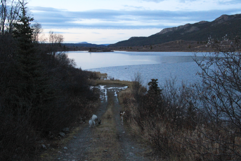
After dinner, a walk down to the lake provided some good exercise for us all. That large calm area on the lake is ice, though the air was probably a couple of degrees above freezing.
I gotten woken up at about midnight by heavy rain, and knowing that the lake was partially frozen, I laid there for a long time imagining that it was freezing rain, and thinking of ways to safely continue if it was. Eventually deciding that there would be no safe way to continue, I decided that was okay, that I could camp there for days if need be, and went back to sleep.
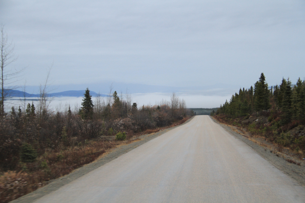
In the morning of our 30th day on the road, I was very relieved to find that the rain hadn’t been freezing after all, and that the road was safe to drive on. Just before 08:30, we started north, descending into fog near Dease Lake in the valley below.
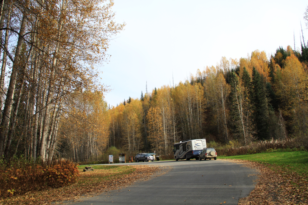
We reached Jade City at Km 602 at 10:40. This is a funny little community centred around the Cassiar Mountain Jade Store, a friendly operation that offers free RV parking.
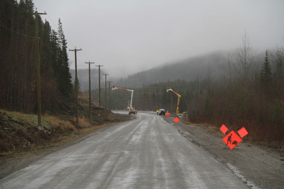
Just north of Jade City, another power line was being installed along the highway, but I don’t know from where or to where – it’s not mentioned among BC Hydro’s projects.
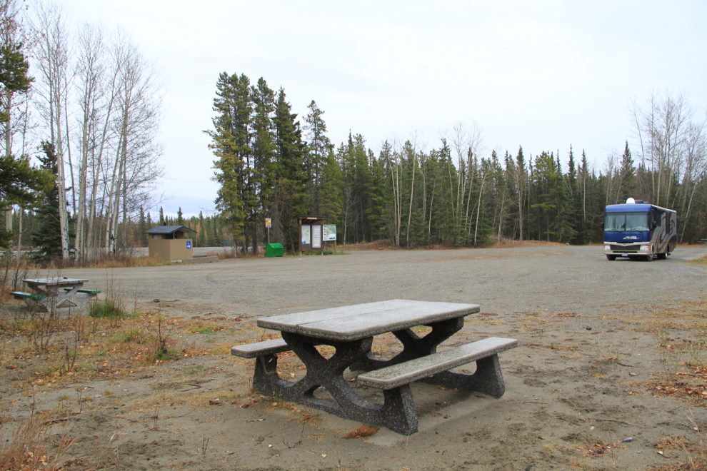
We stopped for quite a while at the large Beaver Dam Rest Area at Km 649.3, for lunch and dog-play.
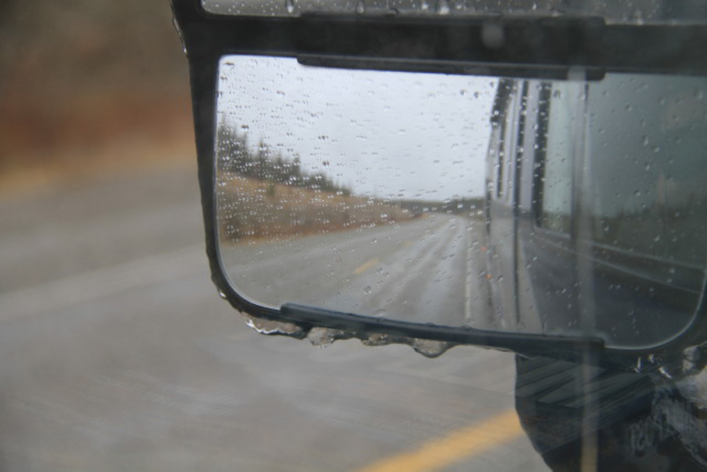
Just after leaving the rest area, I noticed that ice was starting to form on my rear-view mirrors. Not a good sign at all (!), and although no ice was evident on the road yet, I dropped my speed a few notches.
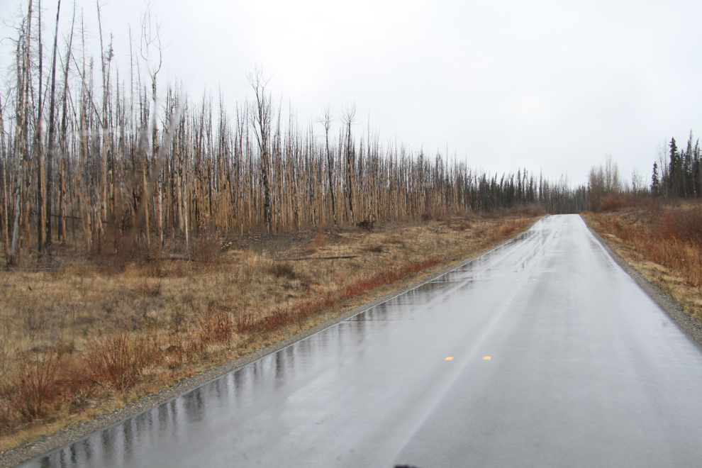
A very long (40 km +) stretch of new pavement around the rest area was very welcome, as this section has always been quite rough. A large forest fire went through this area in 2010.
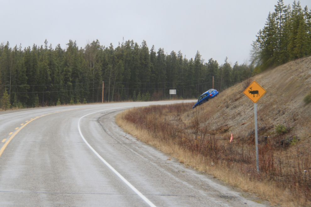
When I reached the Alaska Highway junction at 12:30, I thought briefly about going to Watson lake to avoid the high gas prices at the junction, but decided not to. Good thing, as an accident had closed the highway between the junction and Watson lake, and it was closed for a couple of hours. Freezing rain had passed through the area, and there were several accidents, though nobody seems to have been badly hurt.
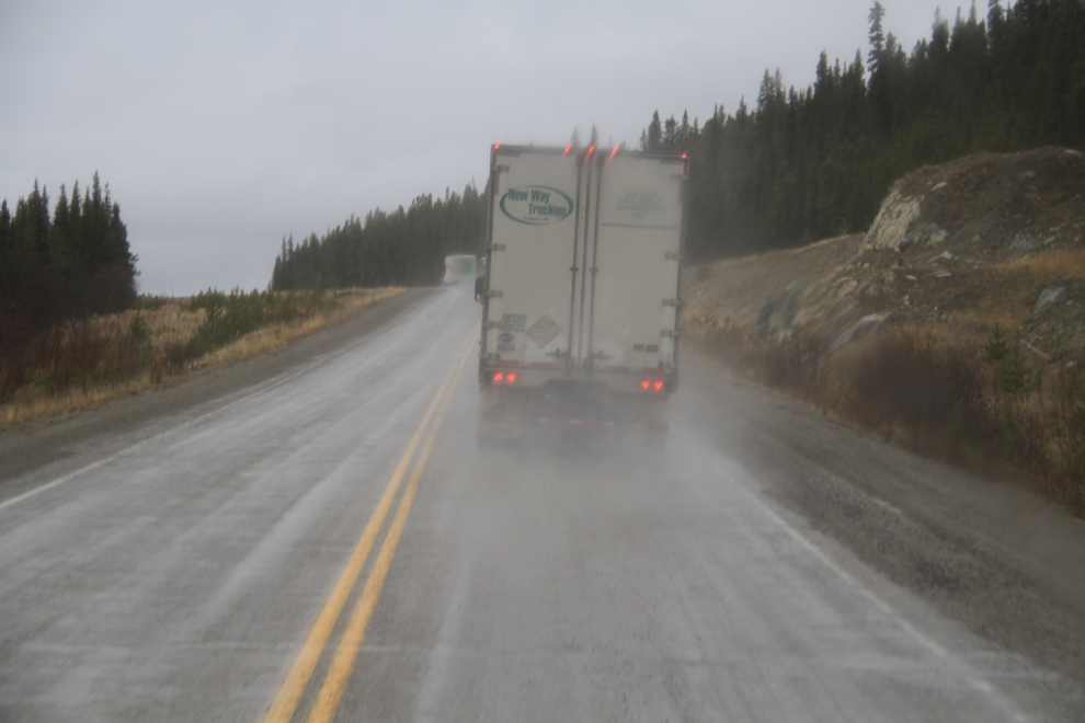
The driver of this rig from New Way Trucking out of Calgary became the first professional driver I’ve ever reported to his company. He demonstrated one ignorant and one just plain dangerous passing maneuver within about 10 minutes, getting around me, and then after the 4 vehicles I was following had pulled off, getting around an Allied moving truck (passing him on a curve and hill with very limited visibility). I shot this photo seconds after he passed me – he was well past the double solid when he got into the small space in front of me. Between him and the UHaul in the photo (which was what was holding us all up) were 3 other vehicles, so you can see that there was no room for this sort of move.
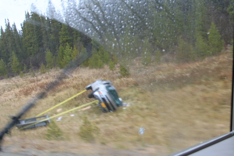
Another whoops 🙁
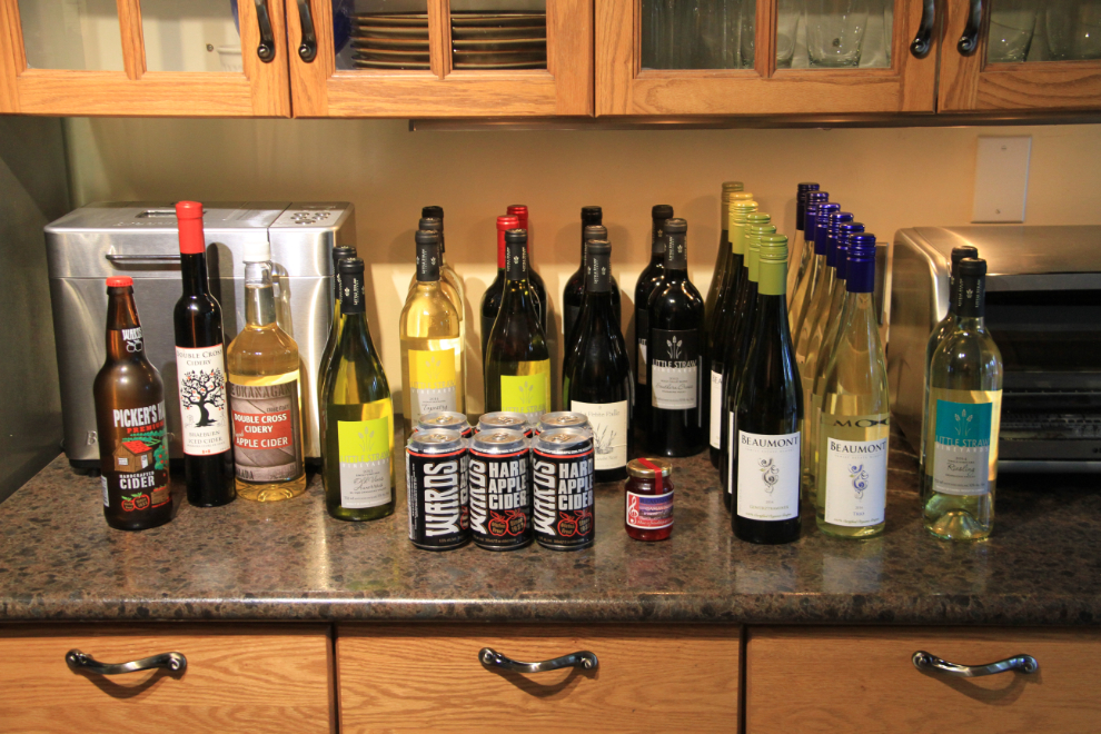
At 5:30, I pulled into our driveway, with 4,077.2 miles on the motorhome trip-meter. Emptying the rig took days, but some of it was fun – I love souvenir shopping in the Okanagan!
It’s October 17th as I post this. There’s been a great deal to do over the past 9 days, but I need to finish putting the rig to bed for the winter over the next few days, and get to work dreaming about next year’s Grand Adventures 🙂