Back in the Okanagan Valley
Some of you are wondering what I’m up to, as I haven’t posted in almost 2 weeks. I’m in Kelowna with my Dad at the moment, but here’s the catch-up. Way back on the 8th, we had the best of days and the worst of days on the same day. We sold the cabin, and Kayla got very sick – the emotional rollercoaster was difficult.
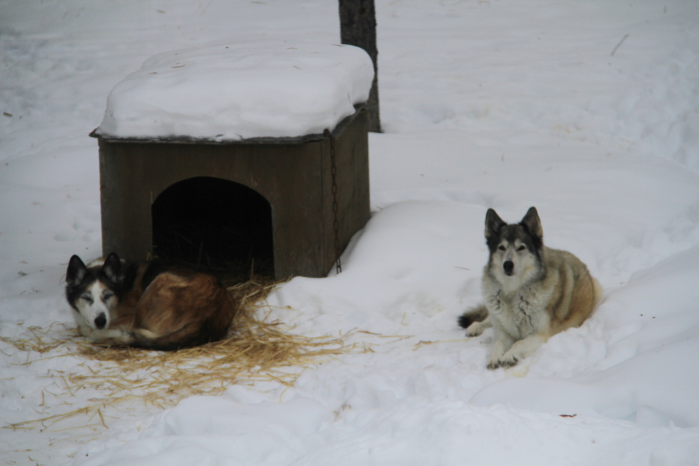
Kayla got very sick, and spending over $800 at the vet accomplished nothing. There was no diagnostic reason for her failing, she was just old. On Monday the 11th, I made the extremely difficult decision to have her euthanized. Kayla is on the right in the photo, Monty on the left.
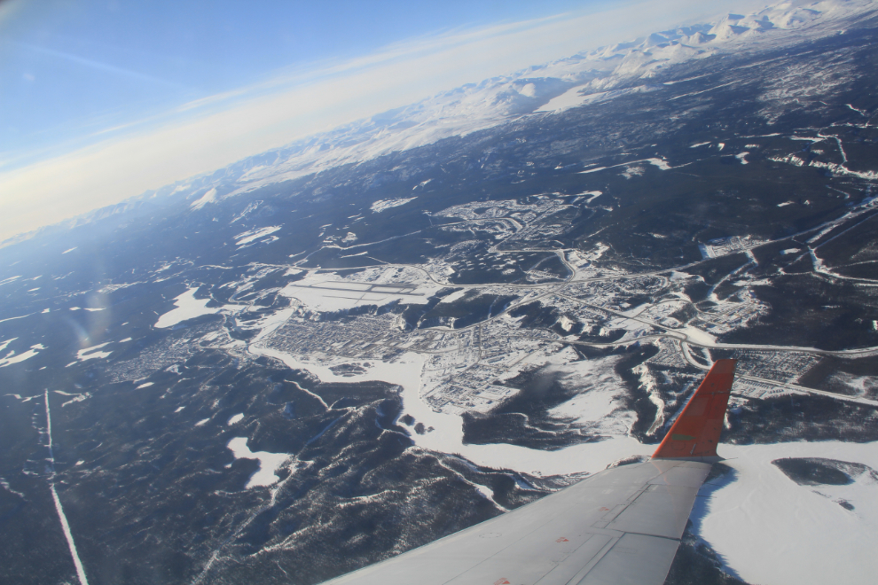
At 11:00 am on Tuesday, I flew out of Whitehorse on my way back to Kelowna to give my Dad a hand for a week. This is probably the best aerial shot of the city I’ve ever gotten – conditions were very good.
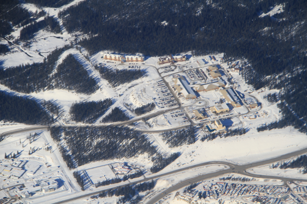
The main block of buildings is Yukon College. At the lower left are the old and new prisons, the young offenders facility is to its right, and at the lower right is the oldest of the mobile home parks in Whitehorse, Takhini. The new $75 million prison opened last year, to much controversy about it being more of a hotel – see this article at CBC News.
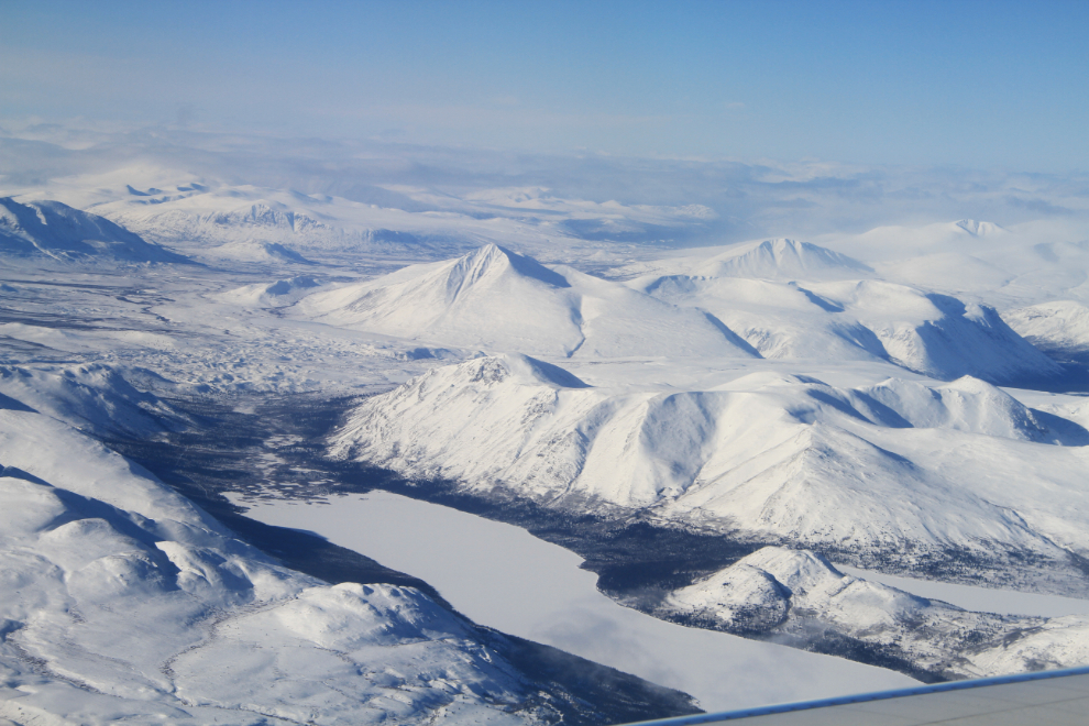
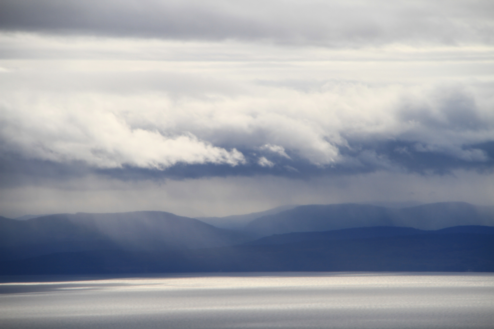
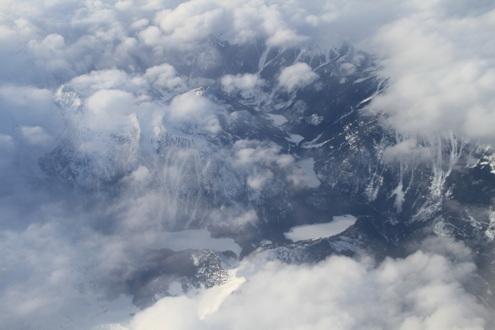
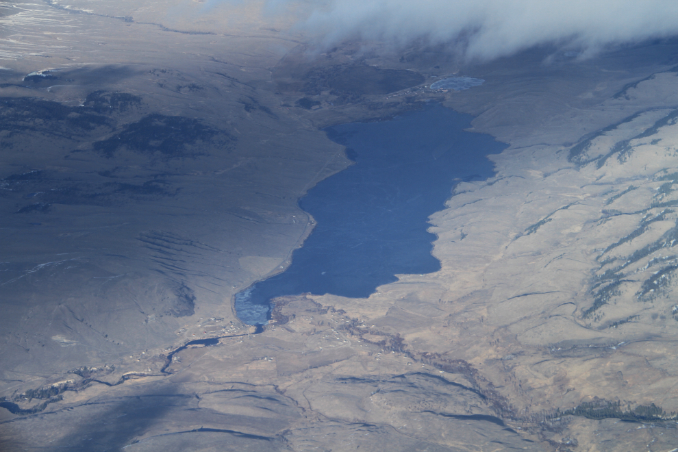
Fish Lake, just north of Whitehorse. We flew into the clouds a couple of minutes later and I didn’t see anything until we were low on the approach to our landing in Vancouver.
Looking across to rain showers on Vancouver Island as we neared touchdown.
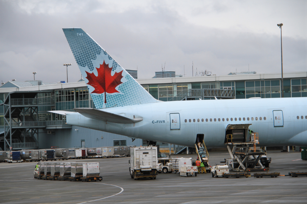
As usual, I had just over 2 hours to wait for my next flight from Vancouver to Kelowna, so I had lunch and wandered around the airport looking for photo ops 🙂
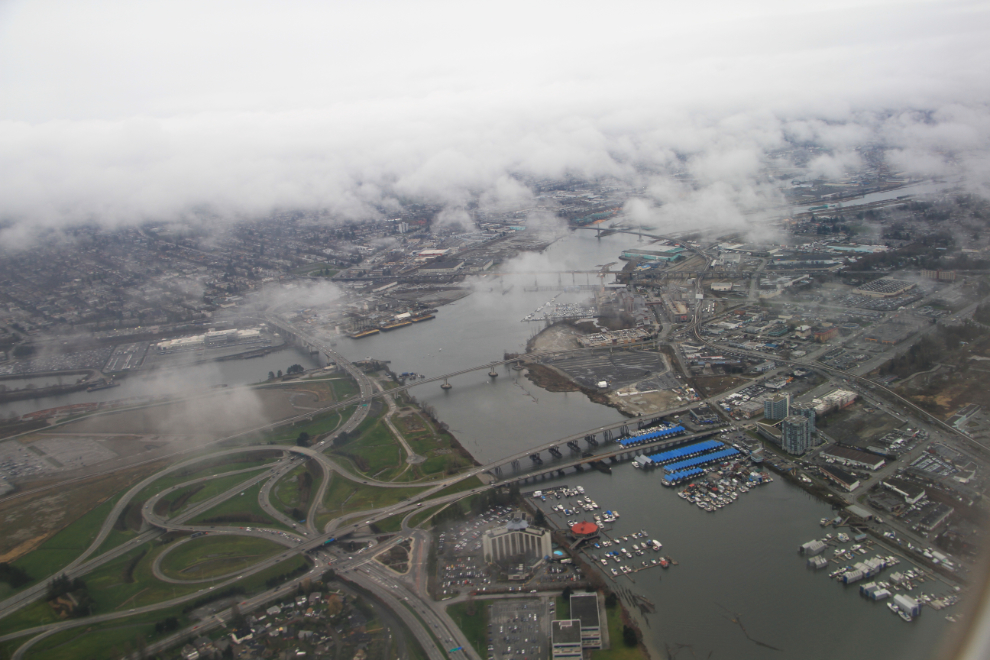
At 4:50, the Fraser River was below me just before we went back into the clouds.
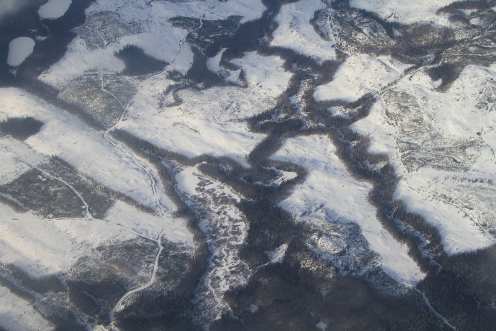
Just 10 minutes later, the clouds started to break.
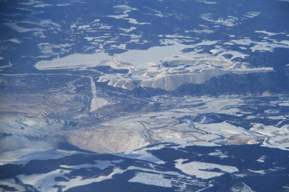
The massive Highland Valley Copper Mine, located at Logan Lake south of Kamloops, produces both copper and molybdenum concentrates from their open-pit operation.
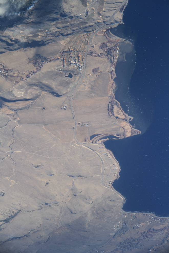
Nicola Lake, in dry-belt cattle ranching country.
Just 1 minute later, Douglas Lake. At the far (north) end is the famous Douglas Lake Ranch, founded in 1886 and now Canada’s largest working cattle ranch.
This photo of a logged area north of Merritt clearly shows the riparian protection zones surrounding creeks.
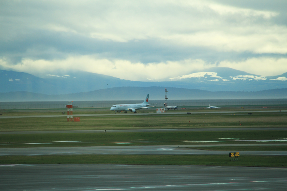
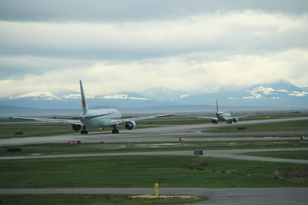
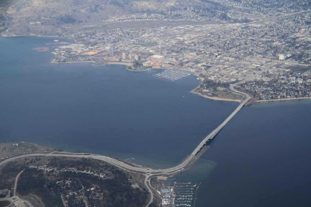
This was the first time I’d done an approach to Kelowna airport from the south. It’s much more scenic this way, and this photo got a nice reaction on the YLW airport’s Facebook page.
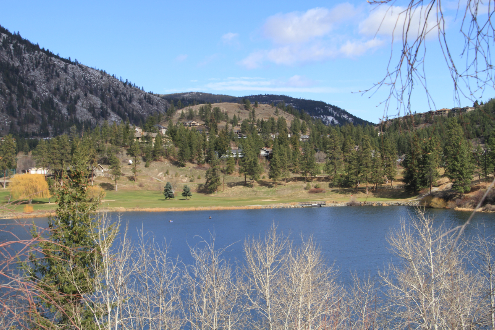
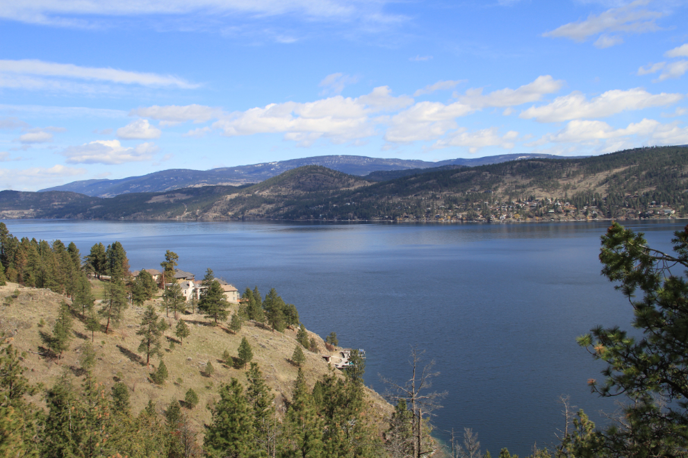
The weather has been quite dreary for most of my week in Kelowna, but Sunday was nice so I went exploring up Westside Road, to the north along Okanagan Lake. My first photo stop, though, was just 3 blocks from Dad’s house, at a little park overlooking Shannon Lake.
There are some wonderful vistas, as well as lots of well-hidden coves and side valleys. Not until I looked at Google Earth did I realize how many homes there are up Westside.
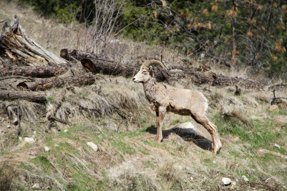
There were dozens of cars parked at Bear Creek Park, a very popular hiking area. Winter must be over 🙂 Just past Bear Creek, I met this California bighorn ram right beside the road. These sheep were in this area historically, but a few years ago they were re-introduced and with no hunting now, they’ve done very well.
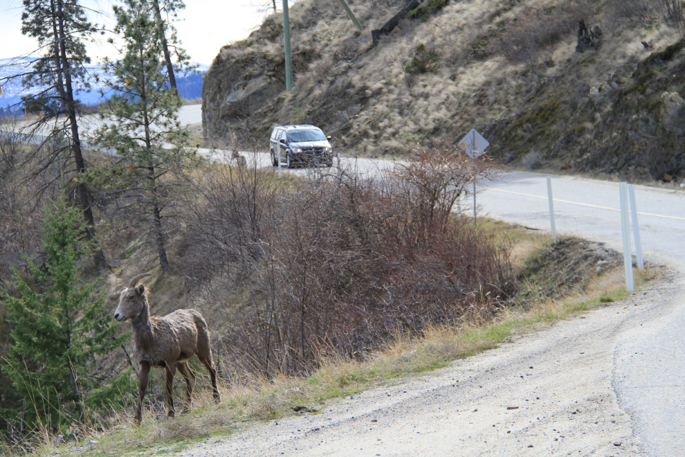
More sheep. On this narrow, winding road, there aren’t very many places where it’s possible to stop, so luck counts!
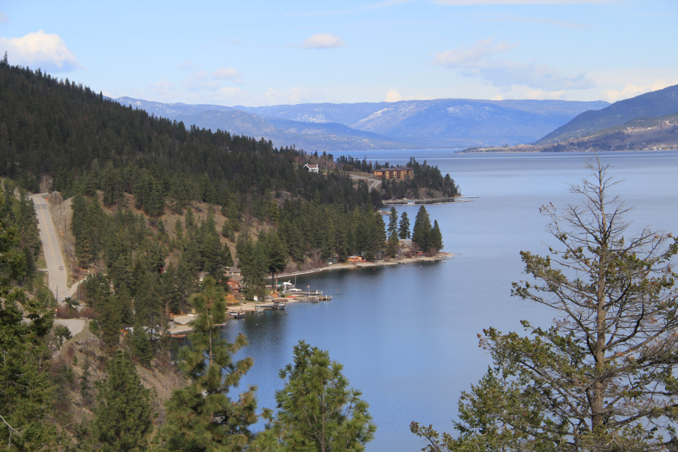
Just south of the Lake Okanagan Resort, the most deluxe of the handful of properties on this side of the lake.
The huge La Casa Cottage Resort was a surprise.
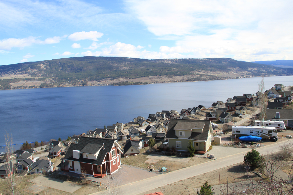
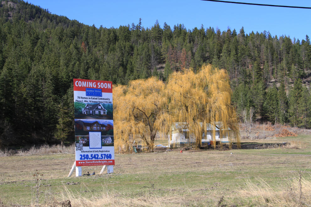
At the north end of the Westside Road is a large block of Indian land, home to 1,500 people according to the sign. The Okanagan Indian Band is one of the richest Indian bands in Canada, but you’d never know it from the homes surrounded by junk cars that are common here. This piece of Indian land will soon be the site of a gated community with 58 homes for sale to non-Natives at prices starting at $200,000. Indians can’t sell their treaty land, so while the homes are purchased, the land they sit on is leased.
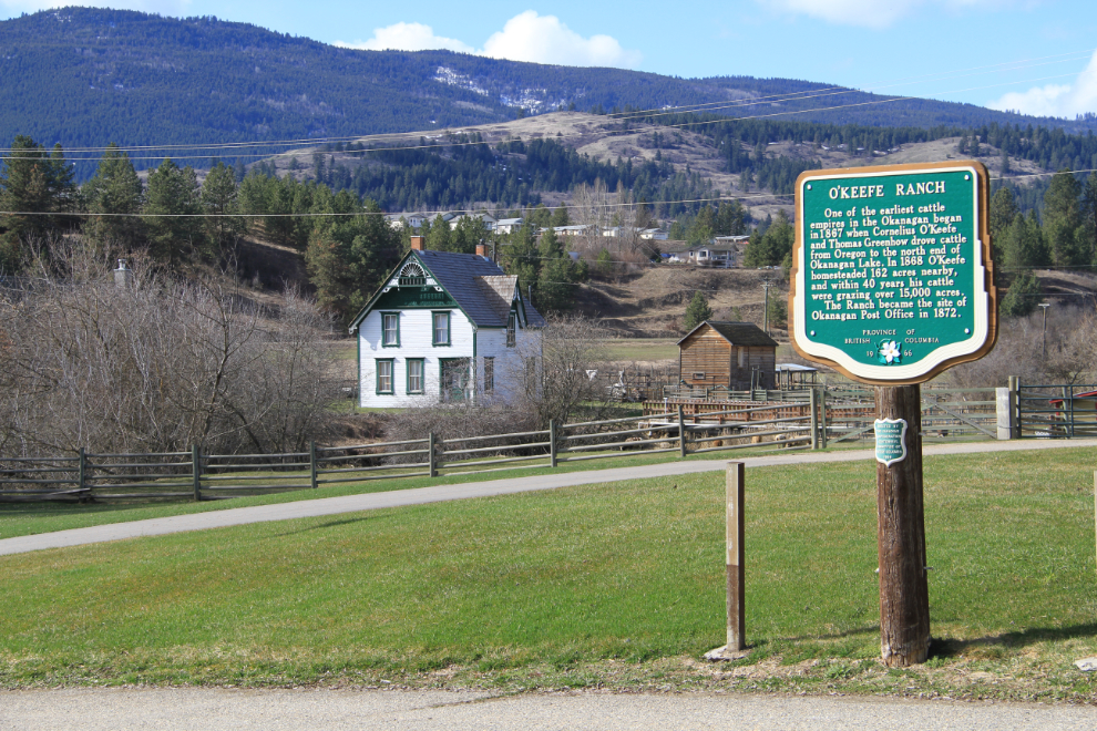
I kept on driving and driving, and ended up at Highway 97, which runs from Vernon to Kamloops. Just east of that junction is the historic O’Keefe Ranch, founded in 1867. It’s a historic site but was closed so I didn’t get to look around the property.
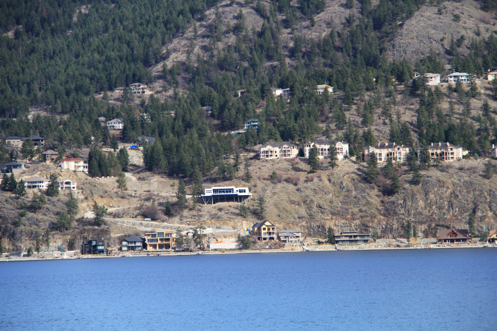
I started back south at about 2:30, and made a few more stops. This is looking across the lake at some of the huge homes that have been built there. If you’re in the market for a home in the $2-7 million dollar range, you could live in one of them 🙂
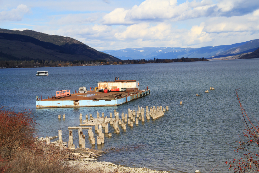
I made one last stop at an old logging camp for a few photos. A few minutes later, a nasty storm hit, with snow and high winds that lasted a half hour or so!
Today, I’m having lunch with a high-school friend, then tomorrow morning I fly home.