Another Quick Trip to Keno City, Yukon
I returned home last night from another quick trip to Keno City to help out a friend. Back in May, it was a 1,000-km day trip to take him home from hospital. This time the trip was solo, to wind up his affairs in Keno, as he won’t be going back – he’s in hospital with terminal cancer.
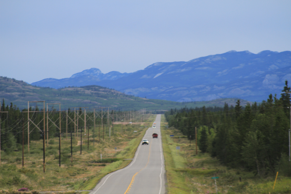
I was on the road at 08:00 on Friday, with the weather forecast calling for cool and mostly cloudy with a bit of rain throughout the trip. This is the North Klondike Highway at about Km 204 (the kilometer-posts are measured from the Skagway ferry terminal, Mile 0 of the Klondike Highway).
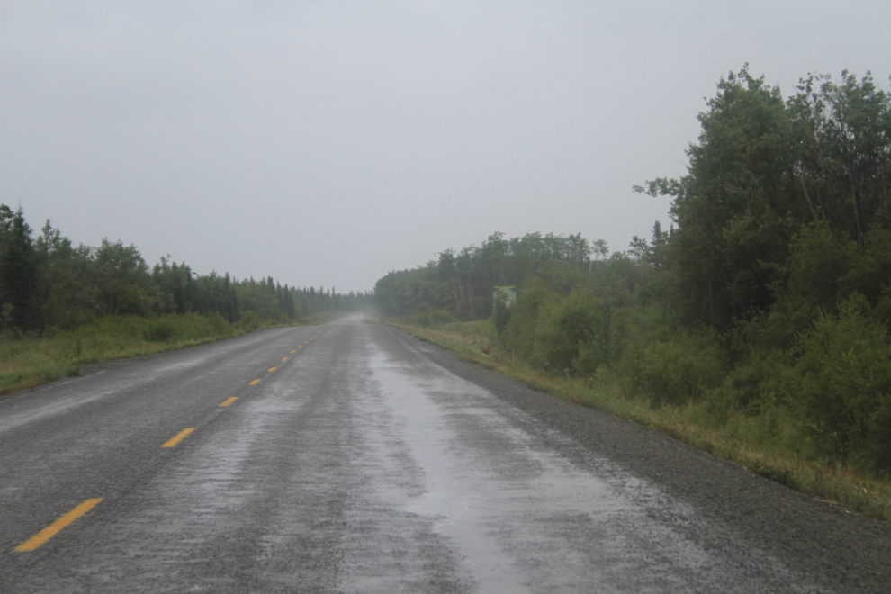
At 10:00 I was into heavy rain and it was still only 8°C (46°F).
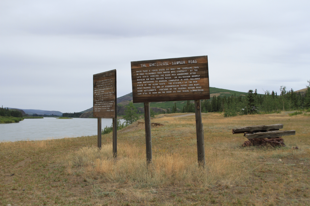
Just before 11:00, I decided to make a short detour to see if anything interesting was going on at the ferry crossing for the Minto Mine, a copper and gold operation. This is the historic part of Minto Landing, with signs about the historic Whitehorse-Dawson Road, and the peregrine falcon nesting area just downriver.
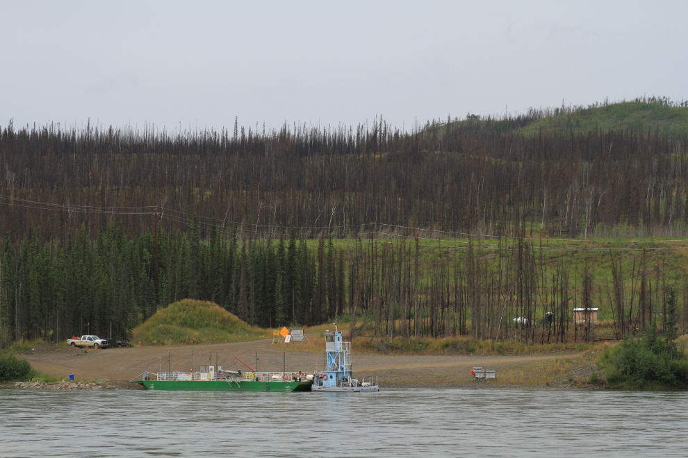
The ferry that takes mine trucks across the Yukon River was on the far side, so no action. As I got back to the highway a large fuel truck turned off towards the ferry and I thought about following him back, but decided to continue with my mission.
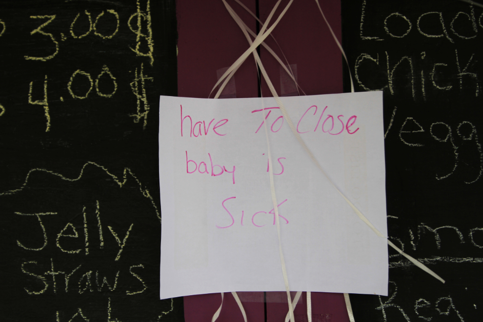
I had planned on having lunch at Gramma’s Kitchen in Pelly Crossing but was met by this sign. I also wanted to check it out to see if I could stop there with my next two tours. Ah well, I’d be back again shortly. The next food, though, is a long way off.
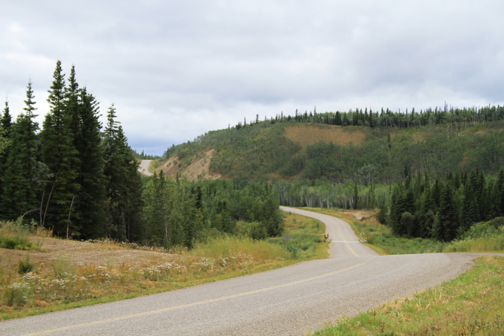
I fueled up in Stewart Crossing at $1.54 per liter, then rather than turning up the Silver Trail to Keno City, made the 15-minute detour to Moose Creek Lodge, where I knew I could get a great lunch. The burger was large and excellent as always, and I took this shot of the highway looking north as I headed back to the Silver Trail turnoff.
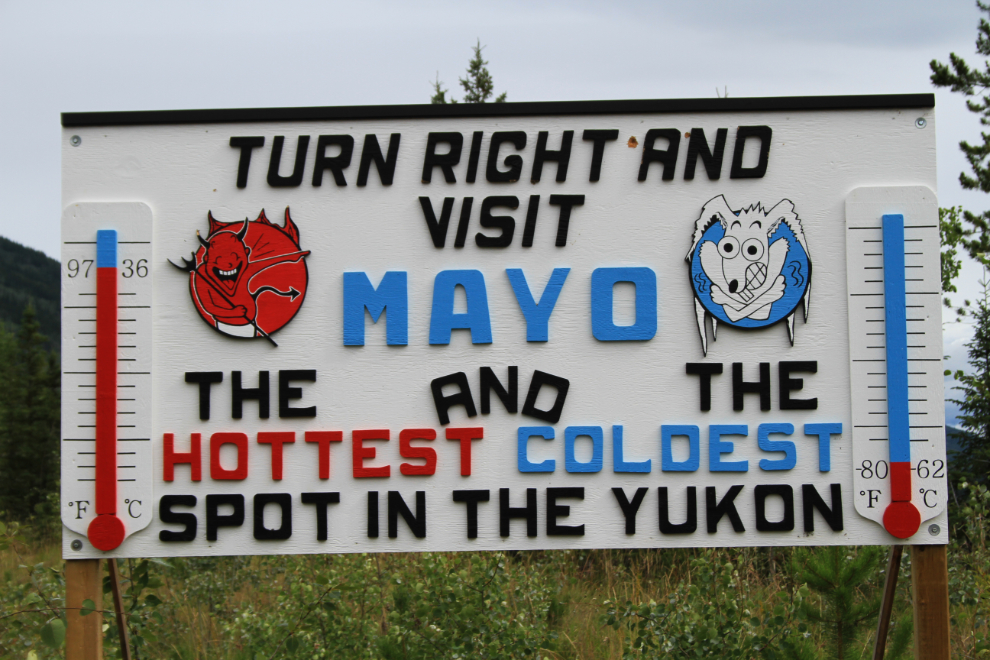
This sign to Mayo (on the Silver Trail halfway to Keno) intriques many people – “The Hottest and the Coldest Spot in the Yukon”. Imagine living where the annual temperature range can be from +97F to -80!!
At Km 10.7 on the Silver Trail there’s a new interpretive trail, the Devil’s Elbow Trail, and I decided to walk off some stress.
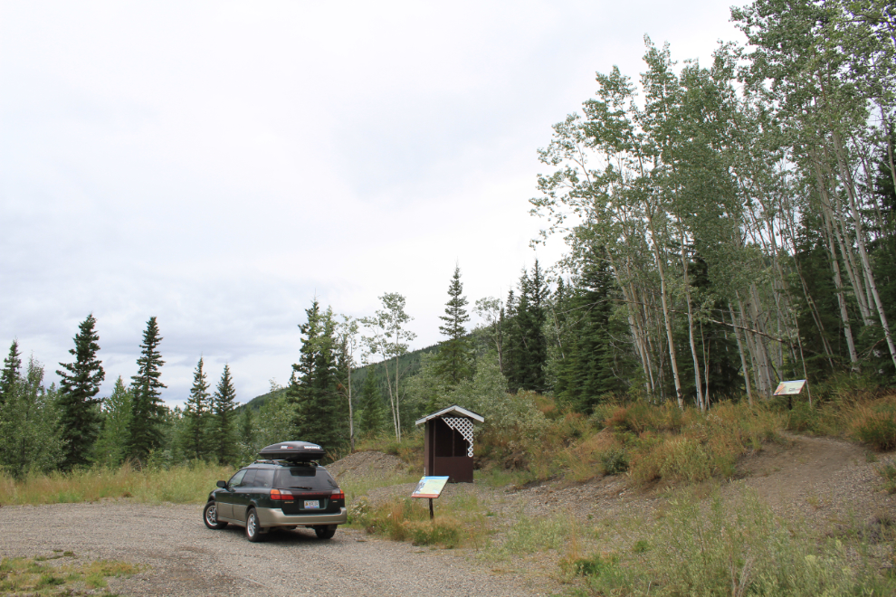
It’s a pleasant 15-20-minute round trip with good signage – a worthwhile stop.
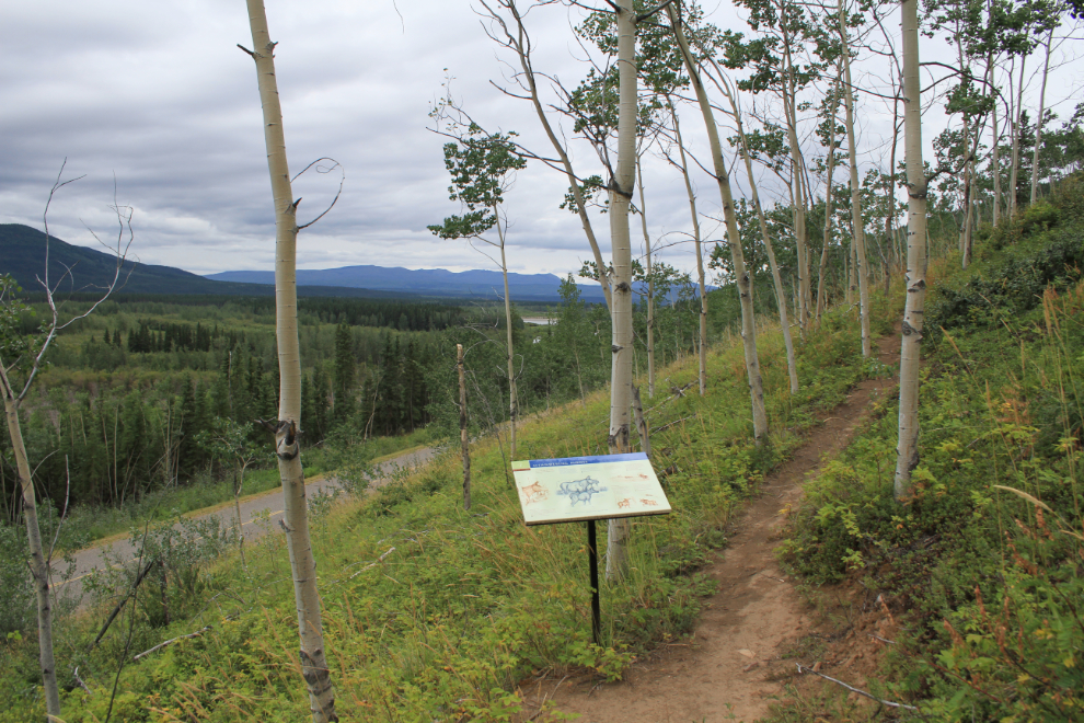
There’s been a massive amount of money flowing to the Na-Cho Nyak Dun First Nation at Mayo in recent years, so I made that short detour to see what changes are occurring. The first stop was the cemetery (the modern cemtery – there’s also a very old one).
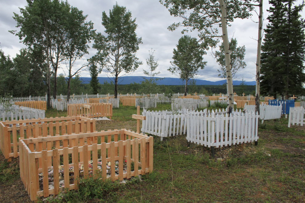
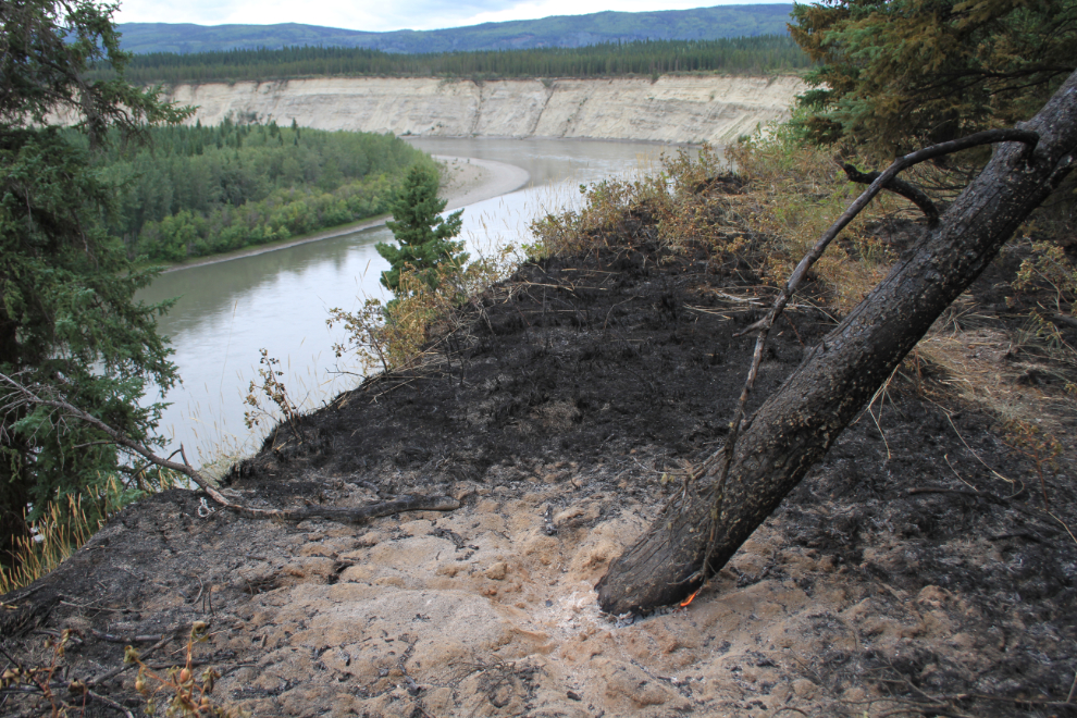
From the cemetery I took a walk along the Stewart River on a trail that offers great views. I was shocked to discover a fire that apparently nobody knew about, with a couple of hot spots within a few feet of the forest, and the base of this tree still burning!
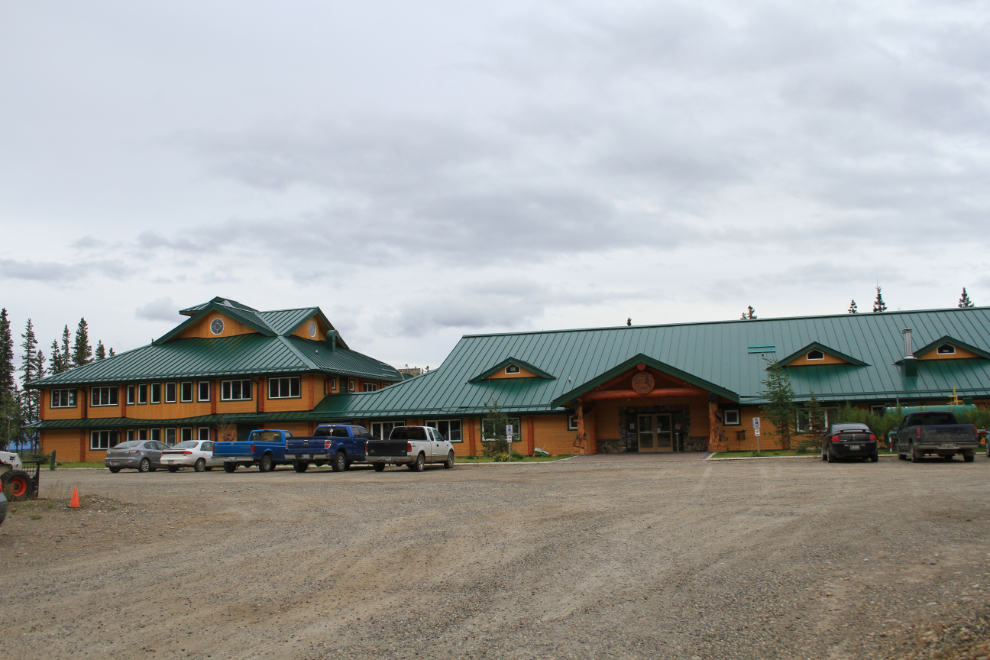
I went to the beautiful new admin offices of the Na-Cho Nyak Dun community, but the woman on the desk wasn’t too interested. She eventually called forestry and I explained the situation to them. Incredible – a fire burning a half-mile from my village would sure as hell interest me!
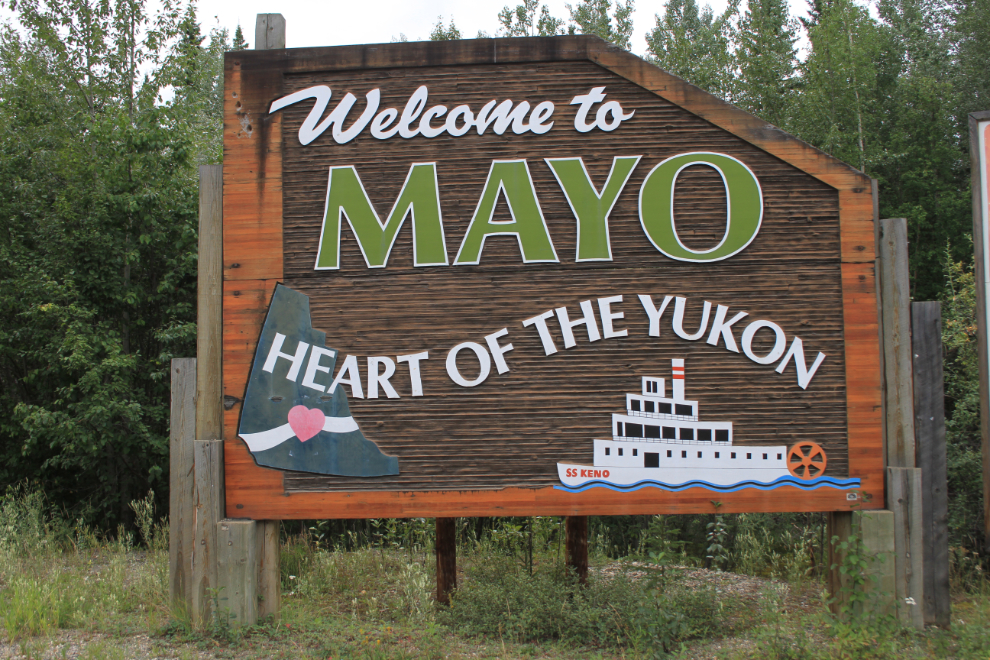
The sign was as close to Mayo as I got – I continued on towards Keno instead of making that short detour.
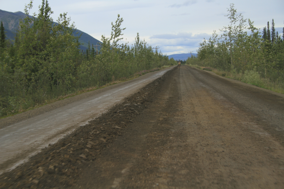
A few miles past Mayo the road turns to gravel but as a result of greatly-increased mining activity it’s very well maintained.
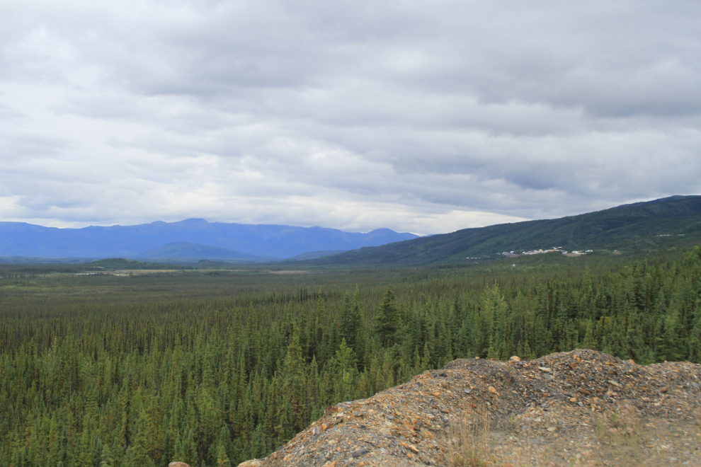
The historic silver-mining town of Elsa can be seen in the distance.
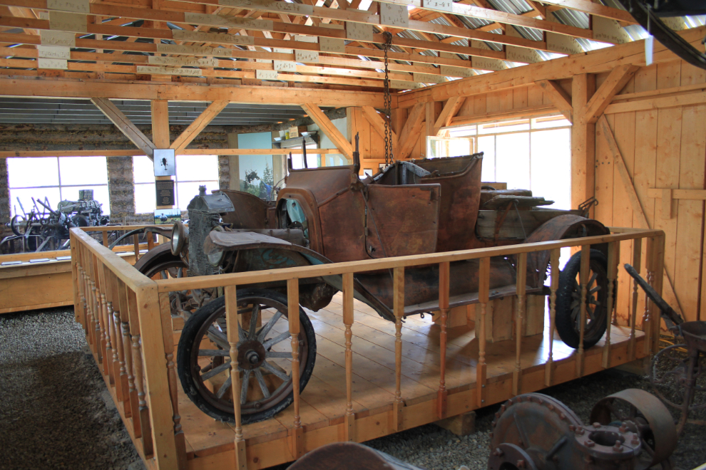
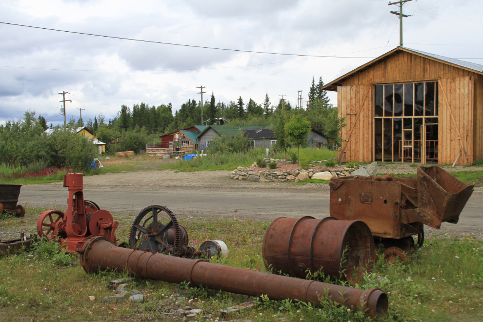
I didn’t have time to re-visit the Keno Museum on my last visit, but it was my second stop this time. It’s very good and is constantly expanding.
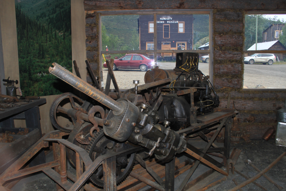
There’s an impressive amount of money being invested in the museum. Particularly given that fact that Keno’s population is somewhere under 30.
Directly to the left of the museum is my friend’s pair of cabins.
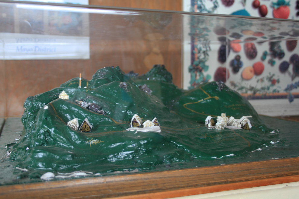
The promotion that Keno does would make you think that its population is few hundred times larger than it actually is. This cool little model is in the trail information kiosk – it would sell as a piece of folk art 🙂
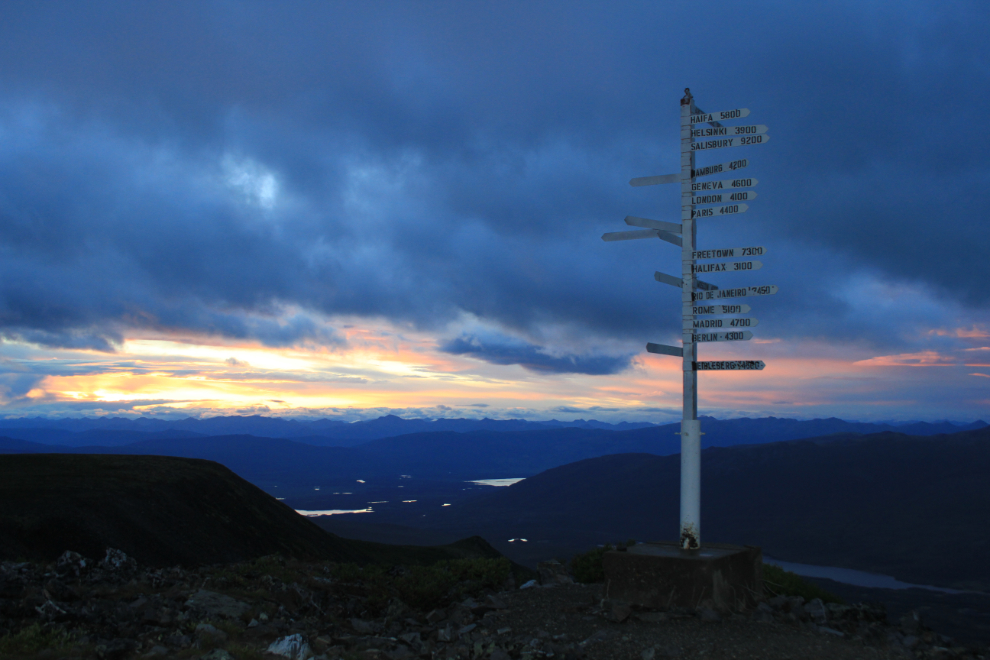
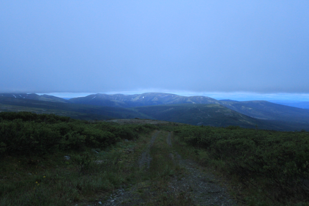
I had a really tough afternoon starting to deal with my friend’s assets in Keno, and late that night decided to head up onto 1,848-meter-high Keno Hill (6,063 feet) to get some fresh air flowing through my head. This was the view at 10:50pm – aaahhhhh…
I went exploring old mines until almost midnight 🙂
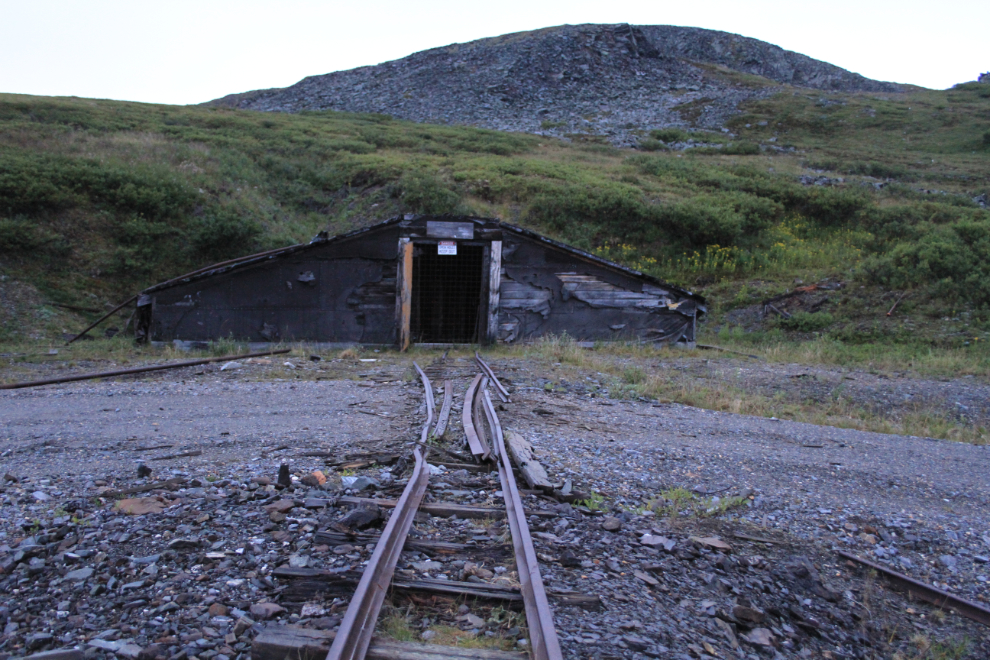
This is the spot I picked to spend the night. The temperature was 3°C and a stiff wind was blowing so the wind chill was well below freezing but I’d brought my Arctic sleeping bag and settled into a cozy spot in the back of Subie.
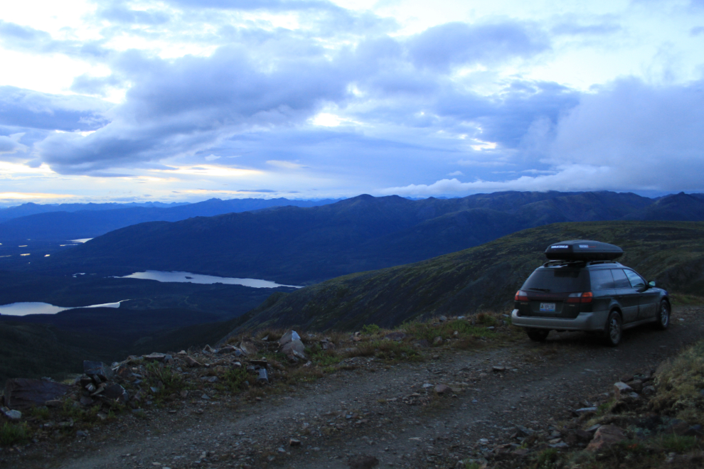
The view when I fired the car up at 04:16 wasn’t nearly as good!
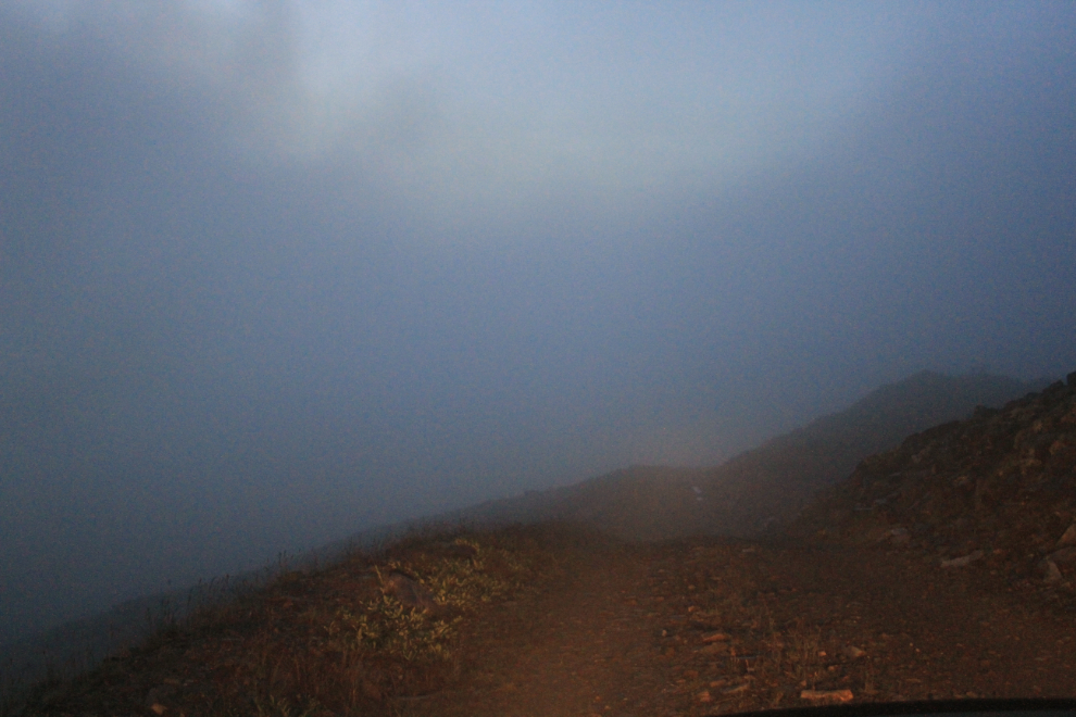
Sorta spooky 🙂
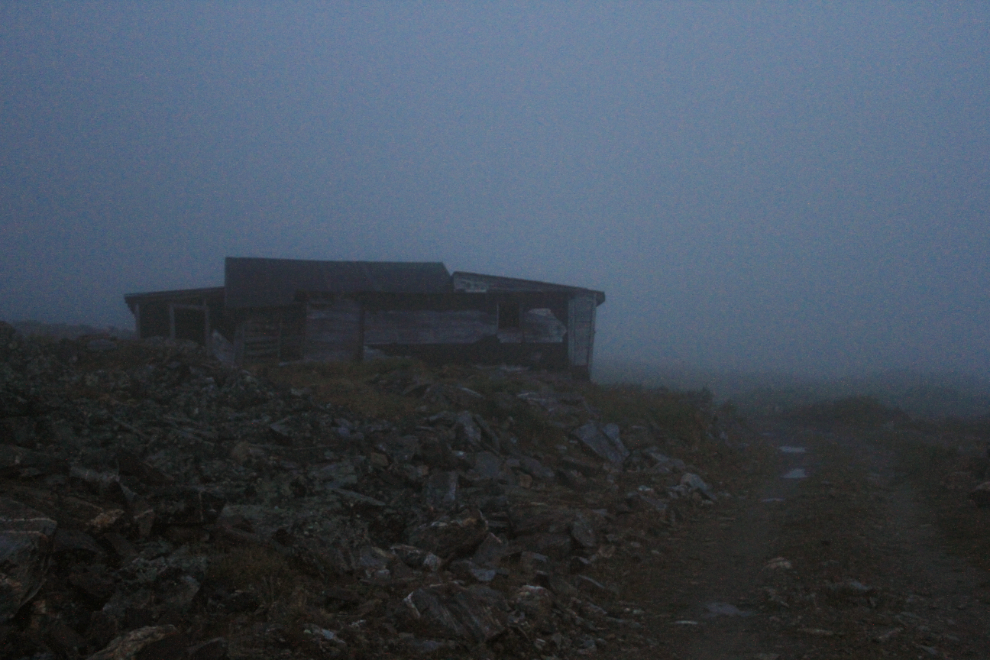
I dropped down out of the clouds a few hundred meters below my parking spot.
I worked on the cabin for about 3 hours, then hoped for coffee and breakfast at Mike Mancini’s famous Keno City Snack Bar…
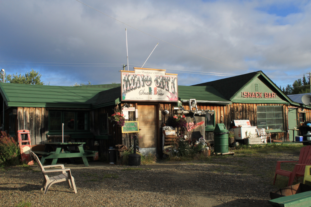
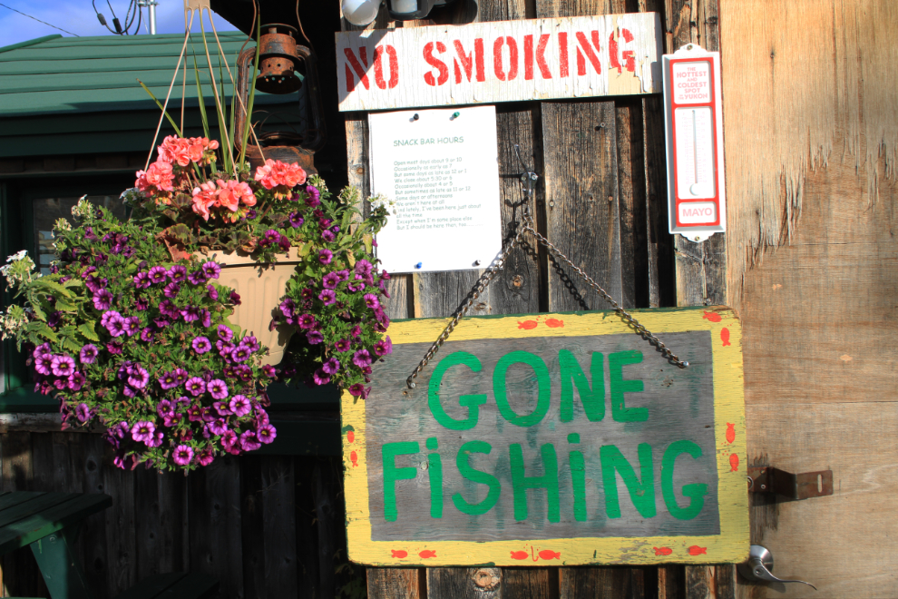
… but nope, maybe later.
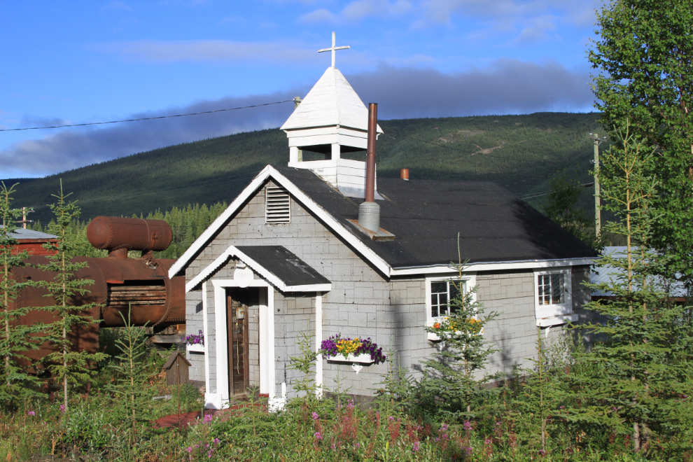
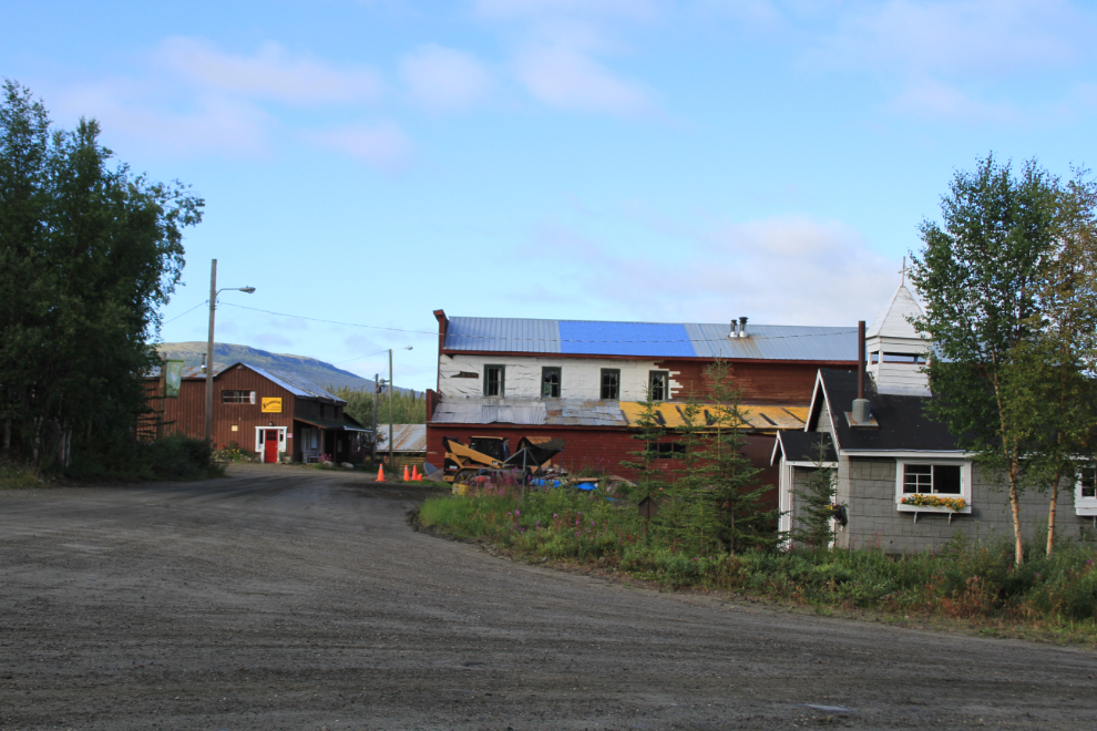
The former church is now the library, and there was a meeting that I’d hoped to go to there, to discuss the heritage aspects of the 100 or so mining properties in the Keno-Elsa area. I’d talked to the consultants about it for quite a while over dinner last night and thought I might have something to contribute.
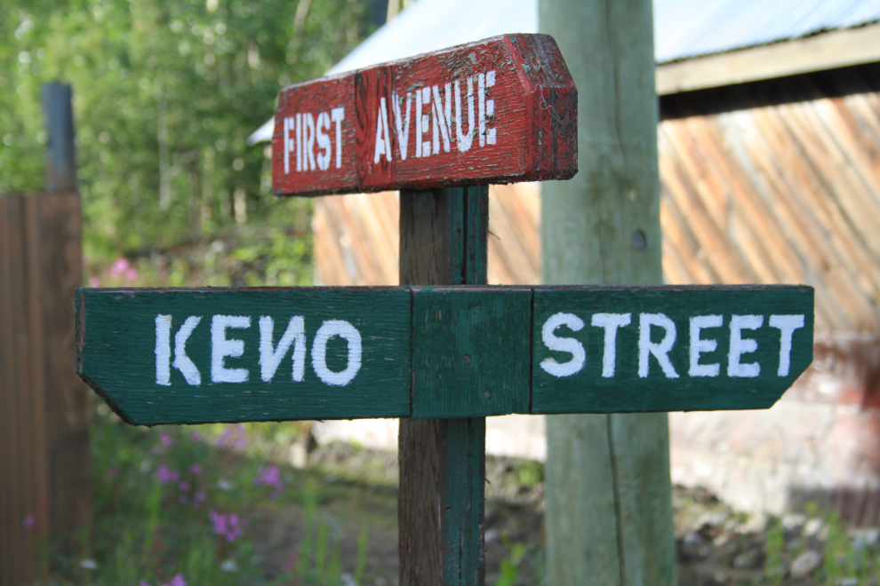
Funny street sign.
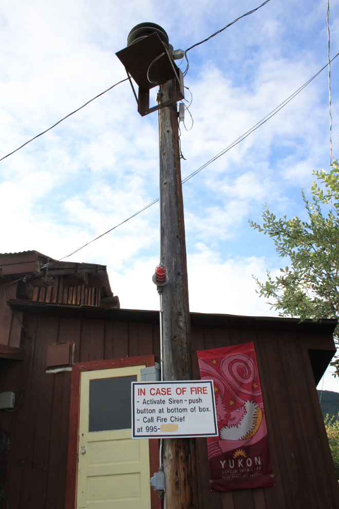
Funny fire call button – since there’s no longer a fire department in Keno.
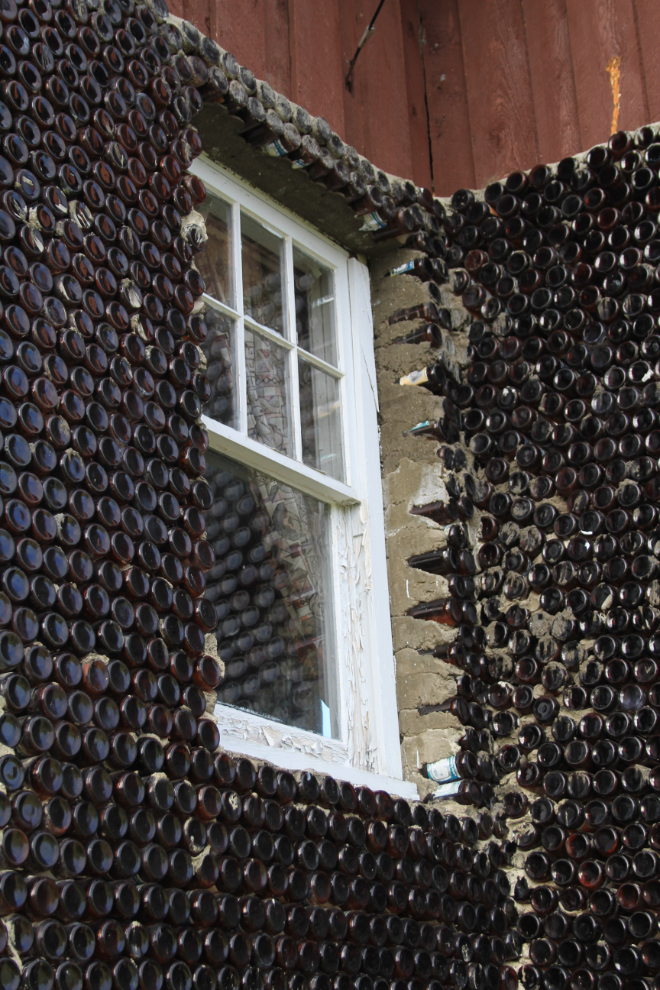
I went over to the “bottle house” built by the late Geordie Dobson, as I’d heard that it was being restored. No sign of anything going on, though.
The job is done – thousands of dollars worth of tools and building materials gone, and an offer on the property.
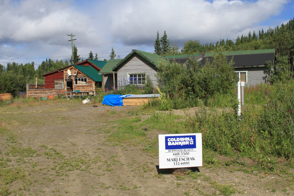
Good-bye, Keno – next time I visit, I hope it will be for a much longer period of time, under much better circumstances, with Cathy.
I got home just before 8:00 pm – so physically and emotionally drained that I didn’t take a single photograph on the way home. I didn’t even get dinner – I’ll never again plan on eating at Gramma’s Kitchen, by myself or with a tour group.