Alberta RVing: Exploring Jasper
On day 10, Friday, September 18, we made the short drive from Hinton to Jasper. I’ve been lucky enough to spend a few days at Jasper in recent years, but it’s one of those places where no amount of time is enough, so we decided to spend a night there to explore some new places. At the park gate on Highway 16, we paid $39.20 for a permit that allowed us to stay in the park for 2 nights.
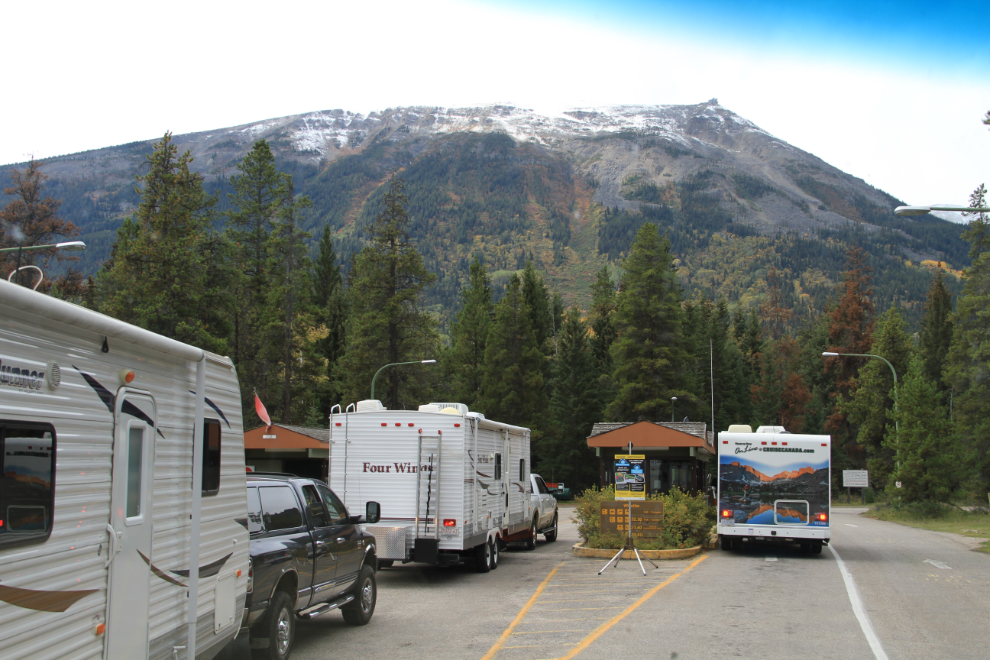
Right at 1:00, we arrived at Parks Canada’s Whistlers Campground, where there was already a lineup to check in. There had just been a cancellation, so despite the “Full” sign, we got a full-hookup pull-through site for $38.20.
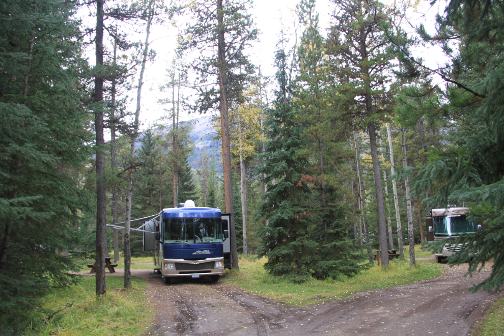
The campground is massive, with over 600 sites in pods – we got set up in site 52H, with similar rigs in most of the sites in the pod.
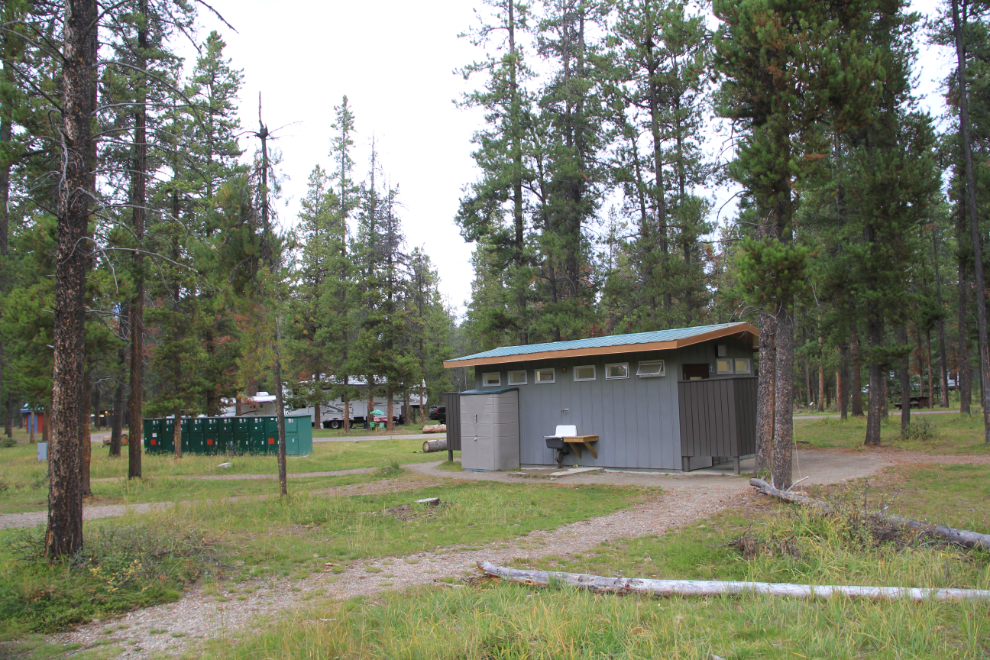
Washrooms and garbage/recycling bins were a few hundred feet away, as well as electrical charging lockers which can be rented for $1, seen to the left in the photo. A sign in the washroom indicated that people use to plug in their stuff there, but there were thefts, so now campers can charge their stuff safely.
We unhooked the Tracker and headed into town, with the first stop being my favourite pub, D’ed Dog, for lunch. Then we went exploring. There’s lots of cool architecture in Jasper, with the best being the old Parks headquarters, which is now the visitor information centre. Designed by Edmonton architect A. M. Calderon and completed in 1914, it introduced a building tradition based on the use of local construction materials, in this case cobblestone and timber.
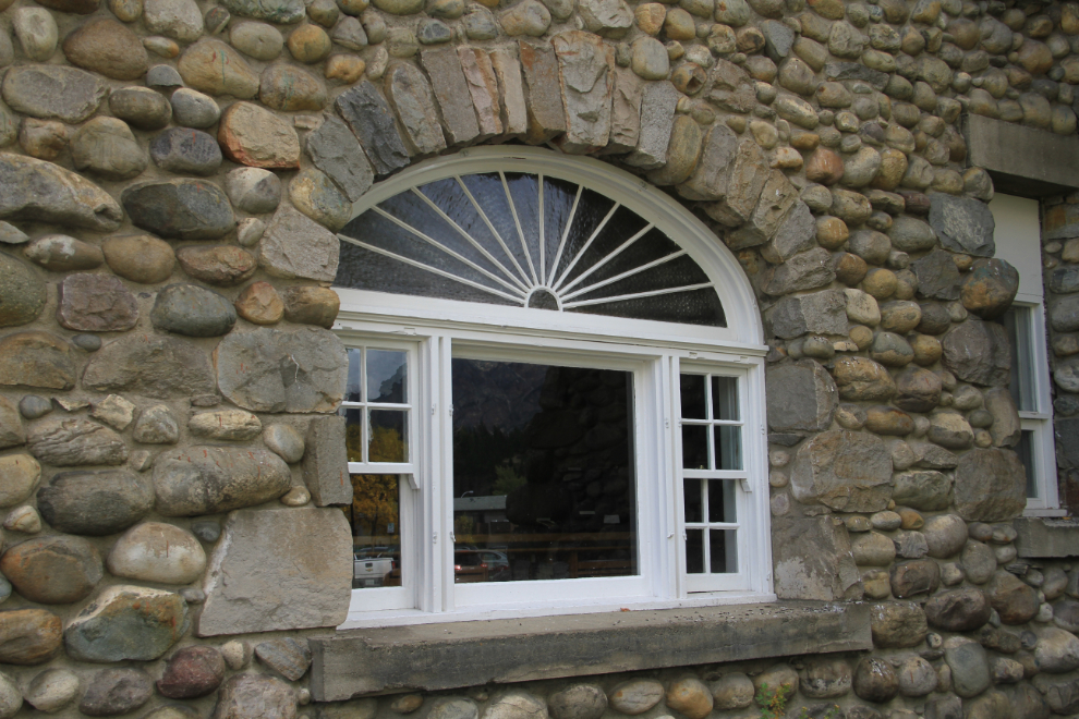
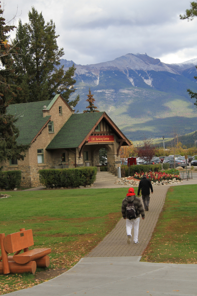
Many modern buildings have continued that general architectural style – that’s the CIBC bank in the next photo, seen from the visitor centre grounds.
Neither of us had been to the museum (the Jasper-Yellowhead Museum & Archives) before, so that was next on the list. I was surprised to find it in one of the ugliest buildings in Jasper – it looks like it used to be a sleazy bar!
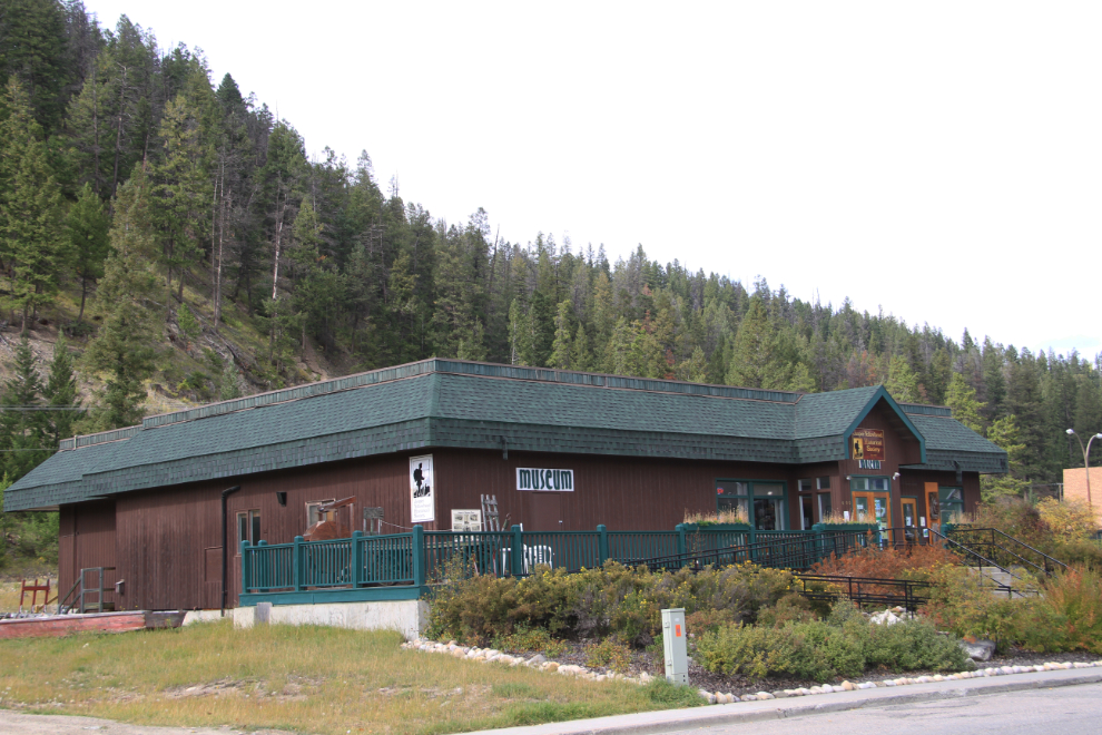
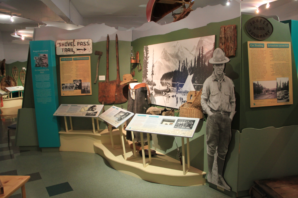
Despite the look outside, it’s a very different story inside. It’s an extremely good museum, with excellent displays – well worth the $6 admission fee.
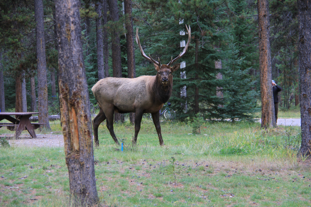
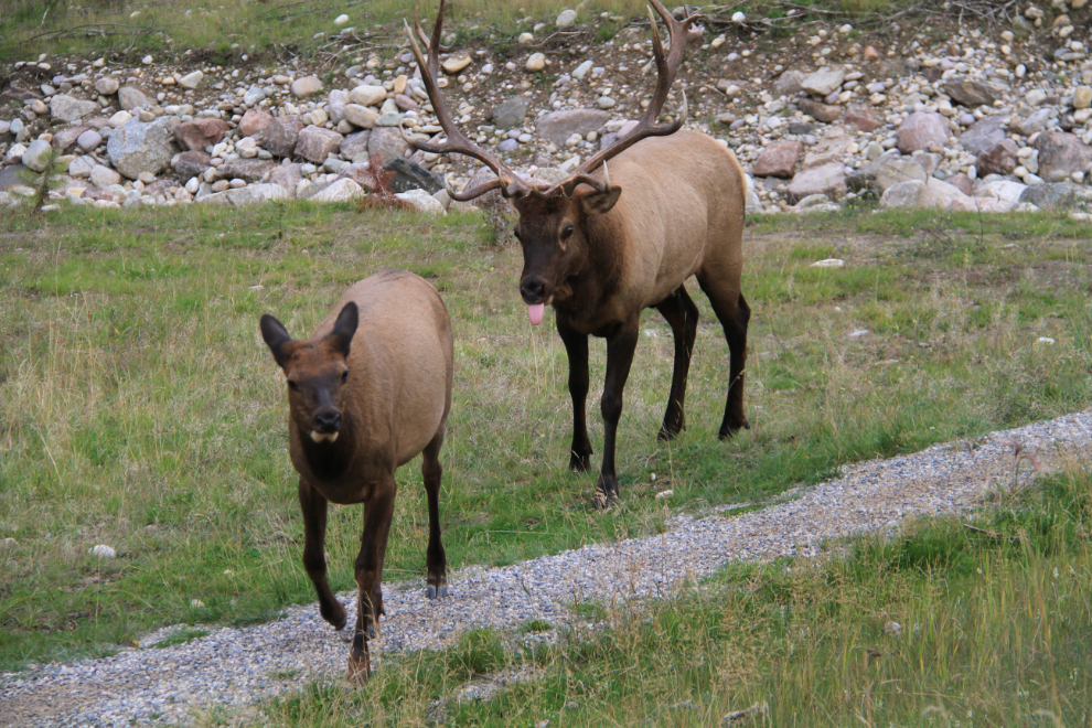
We went back to the campground to get the kids dinner, to find this magnificent fellow wandering through the campground, bugling for a mate. There were signs all over Jasper warning people about how dangerous bull elk can be this time of year.
After dinner, we headed out for a drive up the nearby Mount Edith Cavell Road.
The 14-km-long road is narrow, twisting and steep, with very few places to stop and enjoy the stunning views. It’s not a place for large motorhomes or trailers.
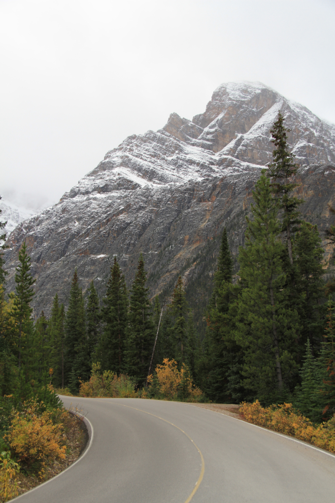
Mount Edith Cavell, 3,363 meters high (11,033 feet), is named after a British nurse executed during World War I for her part in helping Allied prisoners escape to the Netherlands from occupied Brussels. The top 1/3 or so of the mountain was hidden by clouds.
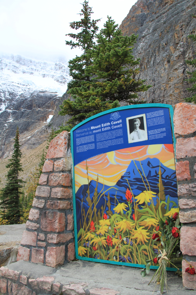
There ya go! 🙂
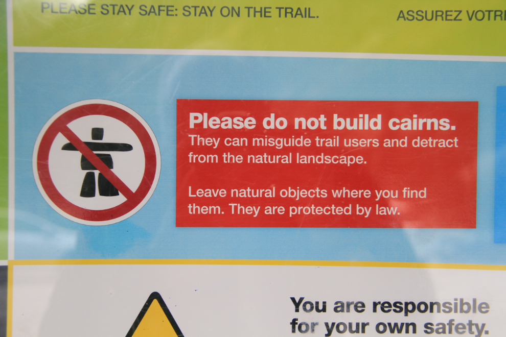
There are some enticing hiking trails leading from the parking lot at the end of the road, but I wasn’t dressed for the very cold weather, especially with a misty rain falling.
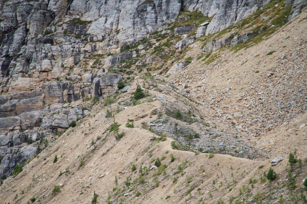
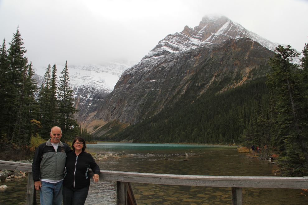
Back down the road a bit, we went for a short walk at Cavell Lake, and accepted an offer to have a picture of us taken. Edith Cavell is the mountain to the left, partially hidden in cloud. Some Web sites identify the prominent peak in the photo as Edith Cavell. Maybe the name has been given to the entire complex – I haven’t been able to find out.
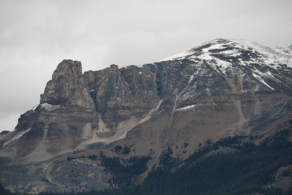
Dramatic Mount Tekarra is one of my favourite peaks in the area. Some day I want to hike the trail along her ridgeline (the Skyline Trail).
Nearing the campground again just after 7 pm, we stopped to watch some elk cows and a calf. Monty definitely approved of the idea, and Bella spent quite a while trying to get some good sniffs 🙂
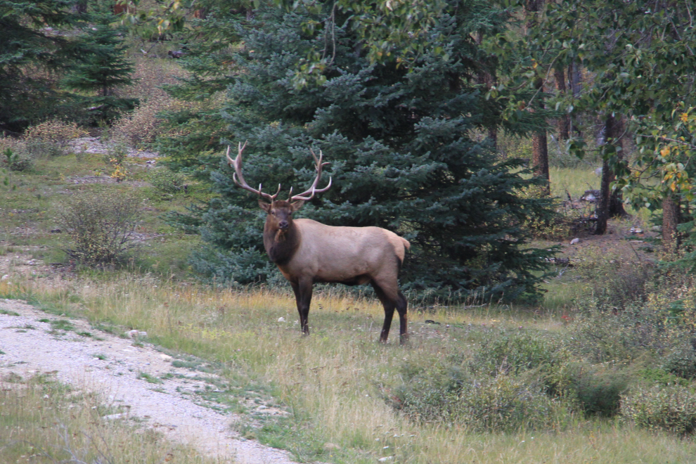
When the bull above appeared, the traffic jam got heavy in a hurry!
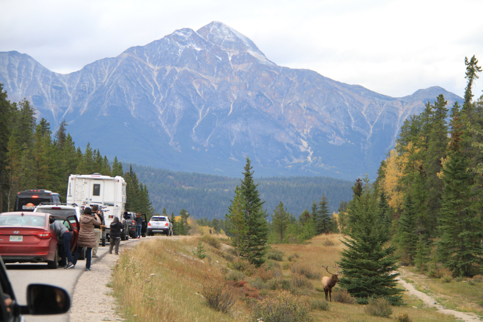
The poor guy just wasn’t having any luck with these ladies, though. And such a classy guy, too! 🙂
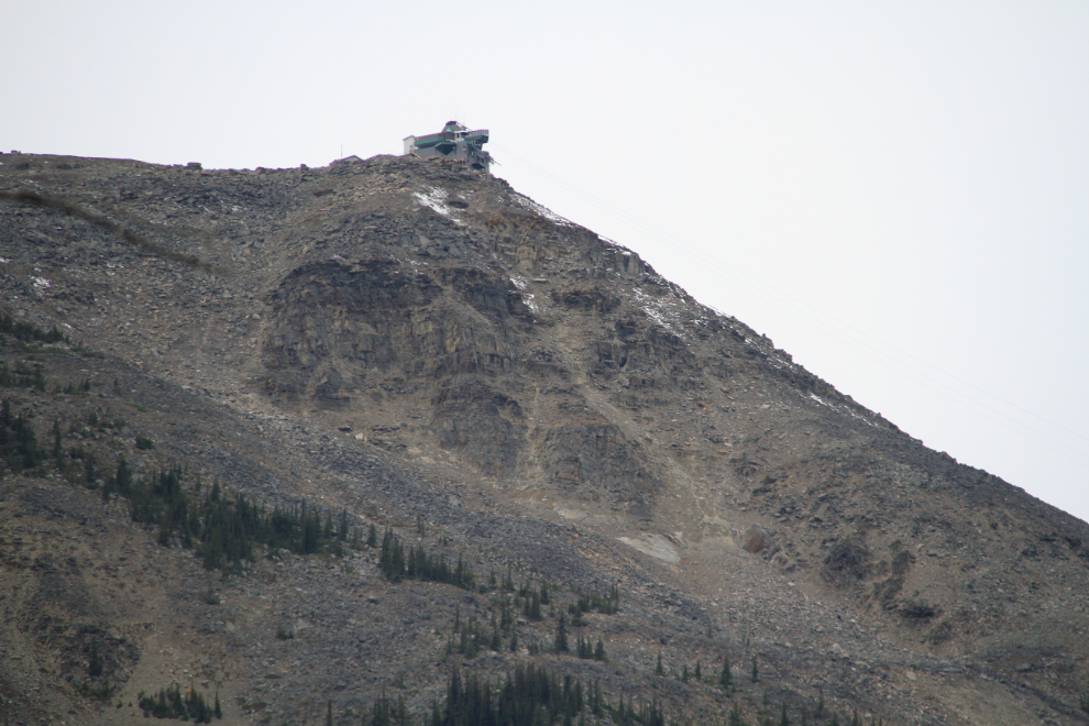
The next morning (Saturday, September 19), we had a good look around Whistlers Campground, which had worked out perfect for us. We thought about going up to the Jasper Tramway, but the weather wasn’t conducive to any high-country walks.
Without hooking the Tracker back up to the motorhome, we left the campground at the 11:00 checkout time, and drove both vehicles to a large pullout on the highway. Leaving the RV there, we continued on to Maligne Canyon with the dogs in the Tracker.
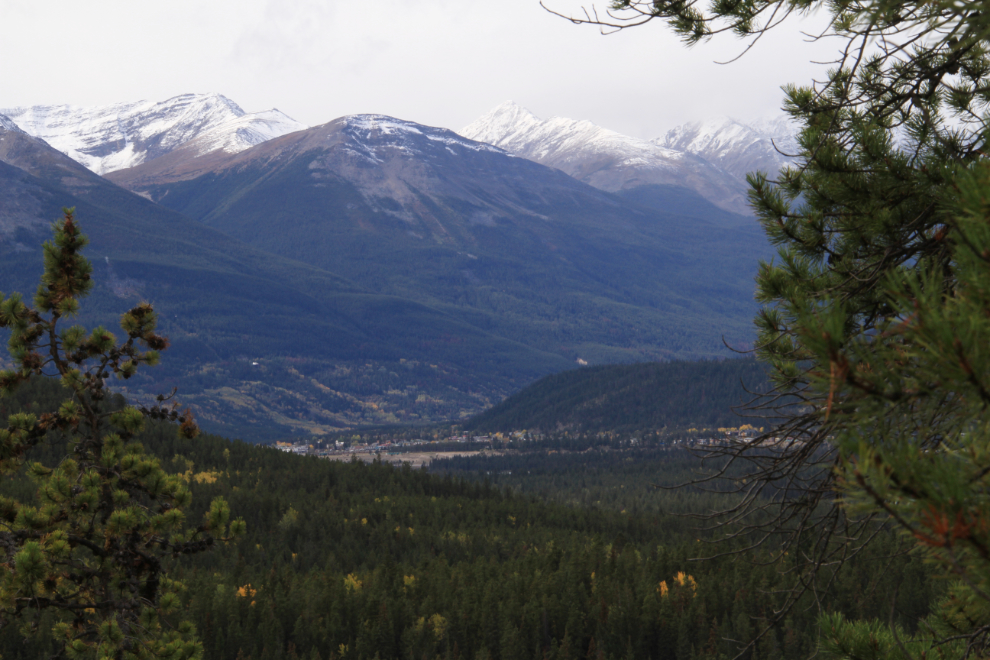
A large viewpoint just before the upper Maligne Canyon road offers a great view to Jasper.
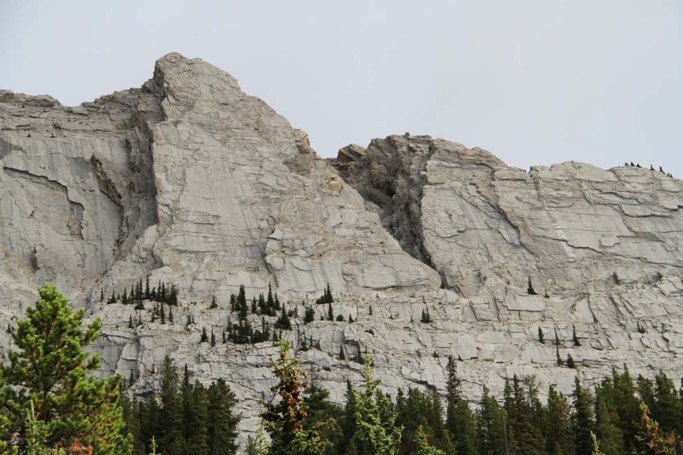
We were very surprised to find the Maligne Canyon road closed, barricaded and manned by a ranger. We never did find out why. We decided to continue on 34 km (21 mi) to Maligne Lake, a Jasper-area icon which neither of us had been to before. Many of the peaks along the road are quite incredible.
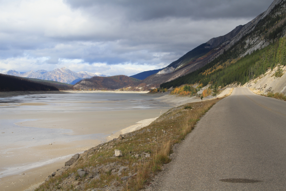
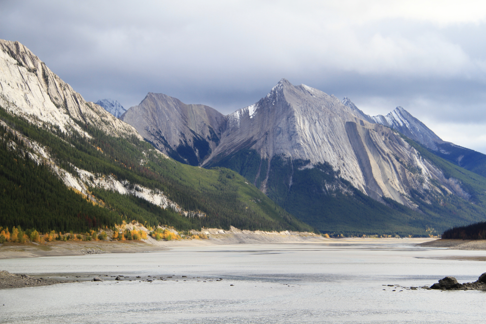
Maligne Lake is drained by the Maligne River, which flows into Medicine Lake, seen in the next photo. Medicine Lake, though, has no visible outlet because it drains into an underground river (except during flood) which flows for for 14 km (9 miles) before reappearing in Maligne Canyon.
Because of the canyon closure, the Maligne Lake parking lot was 99% full, as was the cafeteria where we had a mediocre lunch. The lake was a bit of a disappointment, I suppose because of the weather which hid the lake’s colour. There were still lots of photo ops, though, such as the historic Boathouse, built by Donald “Curly” Philips in 1928 to accommodate his guiding and fishing business.
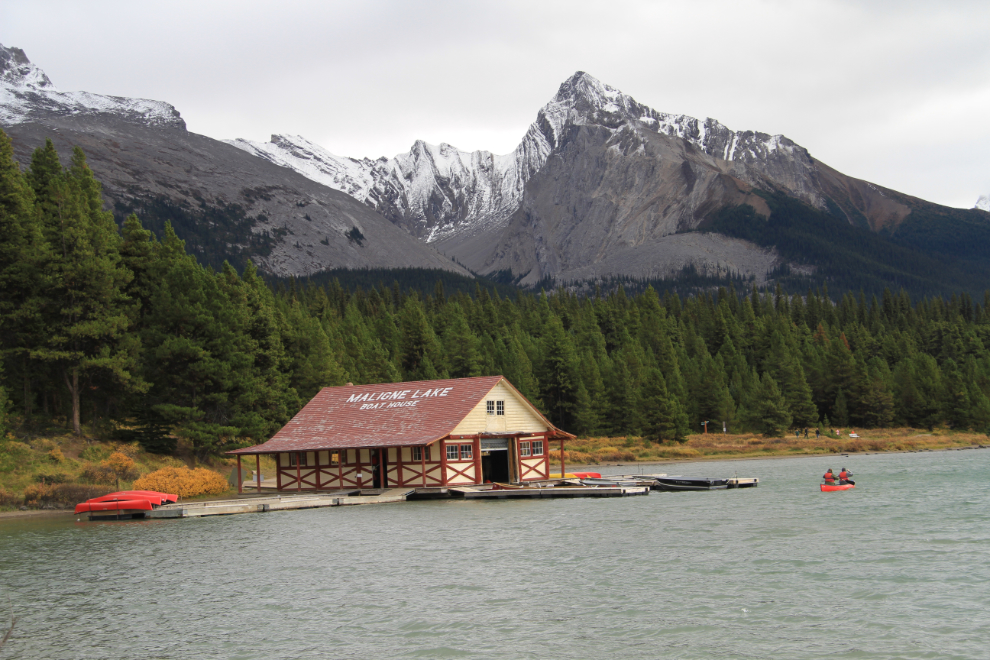
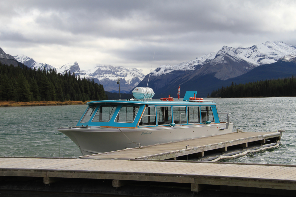
With strong, cold winds screaming across the lake, which sits at over a mile in elevation, we had not the slightest inclination to go on a boat tour, but many people were, probably on pre-booked tours. We even saw 2 canoes head out, though one returned to the boathouse very quickly! We did get some exercise by taking the dogs for a long walk along the lake on a trail sheltered by the forest.
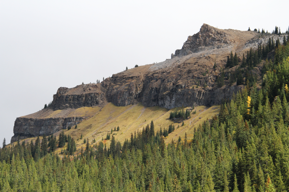
We started back down the hill at about 1:30, making a few photo stops for mountains and a very impressive canyon.
At about 3:00 pm, we hooked the Tracker back up to the motorhome and headed south on the Icefields Parkway, which will be covered in the next post.