Alberta/BC RVing: Cochrane to West Kelowna
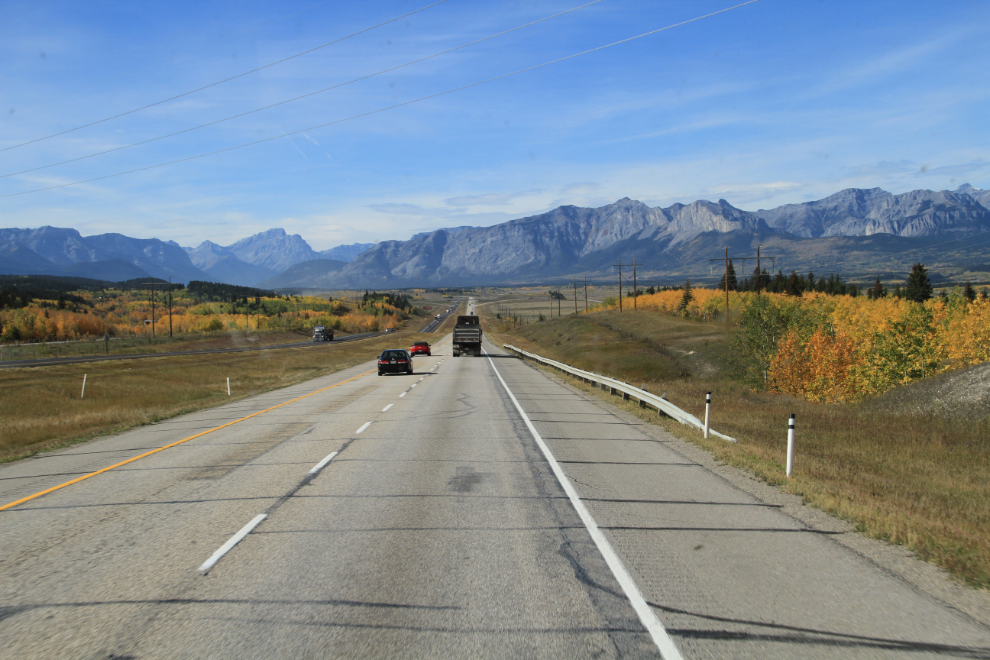
On days 16 and 17 of the trip (Thursday and Friday, September 24 and 25), we drove from Cochrane to West Kelowna with a detour into Lake Louise, a total of 610 km (379 miles).
Before we leave Cochrane, I want to show you some more photos of the Bow Rivers Edge Campground, which as I mentioned before, is our new “best-ever” commercial campground. A bonus to us is that the campground is owned by the Rotary and Lions Clubs of Cochrane, and all the profits are put back into the community through grants and bursaries for community-based organizations.
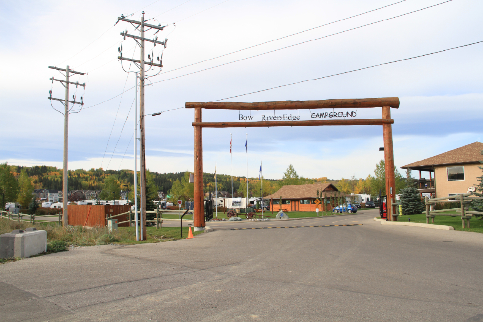
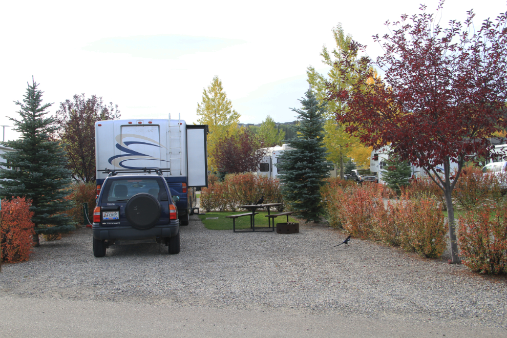
There are 144 sites, at $40 per night for pull-through, full service 30-amp sites. All of the facilities were extremely well maintained.
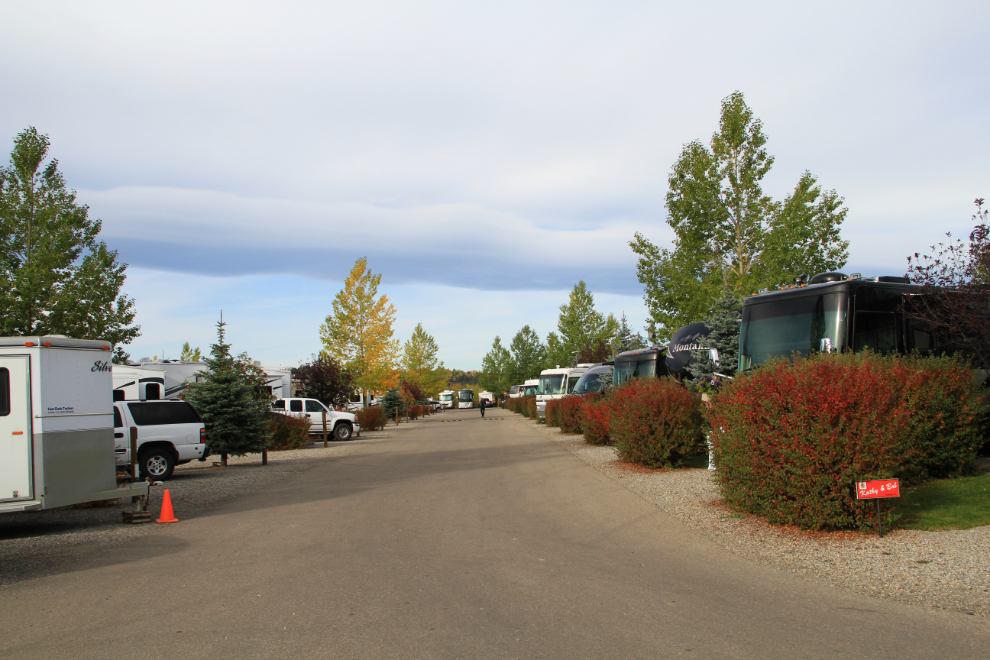
The sites are a decent size, though I couldn’t easily get into the bays on the driver’s side because of the privacy bushes. Although we didn’t use the firepit, it’s nice to have one in case we did want a fire one night.
We left the campground just before the 11:00 checkout time, but then decided to go for a good breakfast at Smitty’s so didn’t hit the road until after noon.
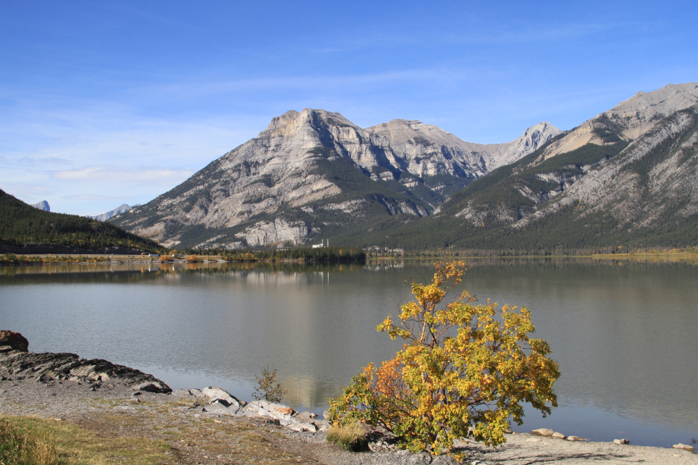
Lac des Arcs, a widening of the Bow River, was a good spot for a short dog walk. A huge and ever-growing cement plant, the Lafarge Exshaw Plant, has dominated the view across the lake for my entire life (to the right of the view shown here) – it has cut up and crushed pretty much an entire mountain during that time.
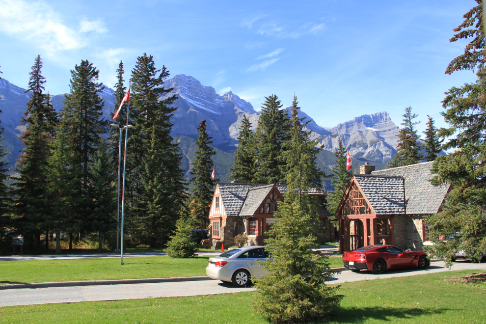
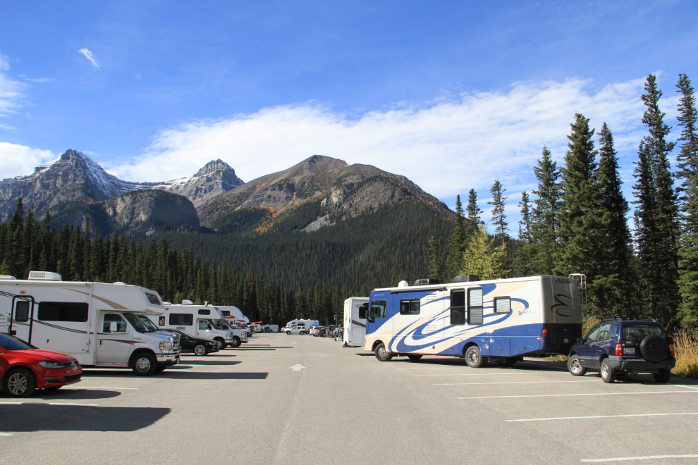
We wanted to stop at Lake Louise for an hour or so, so paid the $19.20 daily fee to Parks Canada at the Canmore gate on Highway 1.
Cathy and I would like to spend an entire summer wandering slowly through the Canadian Rockies. Some day…
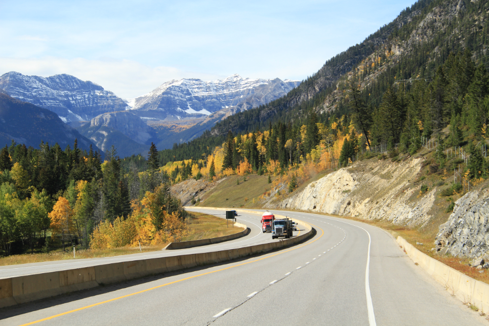
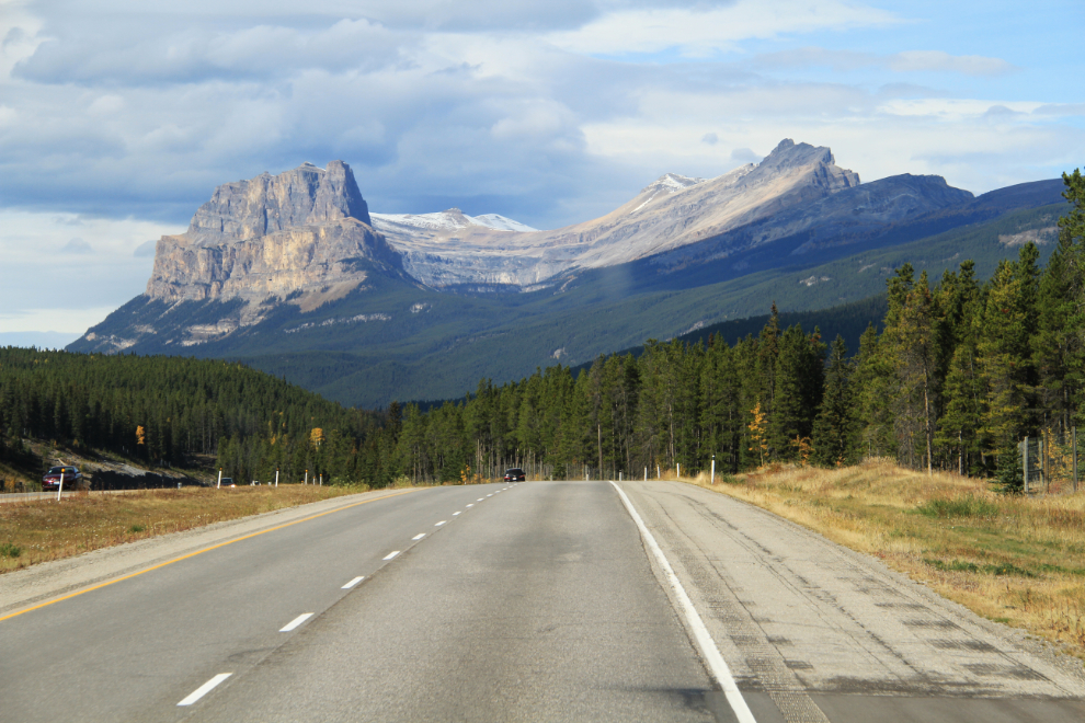
Castle Mountain, 2,766 meters high (9,075 feet), dominates the view for many miles. From 1946 to 1979 it was known as Mount Eisenhower, and that’s still what I automatically call it.
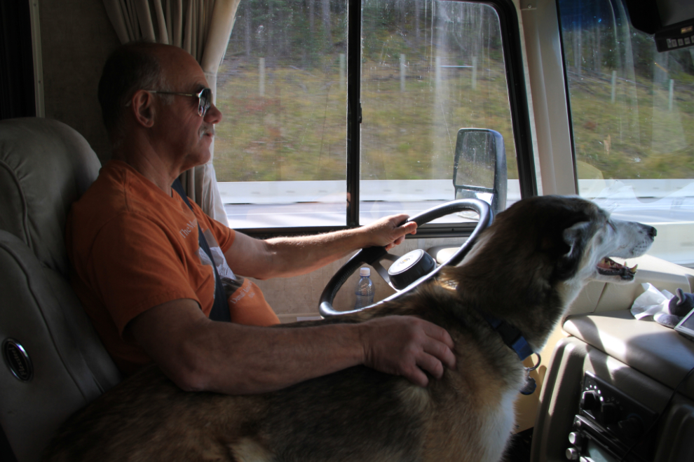
While the girls curl up and try to sleep, Monty’s preferred position is still snuggled up beside me, in lead dog mode 🙂
If you’re driving anything large, don’t take it up to the Lake Louise parking lot if at all possible – there really isn’t room for anything longer than about 25 feet. I should have paid attention to the large electric “Limited Parking” sign, disconnected down in the townsite, and taken just the Tracker.
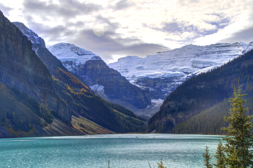
Lake Louise is stunning – this is one of the iconic views in the Rockies. There were dozens of canoes scattered across the lake.
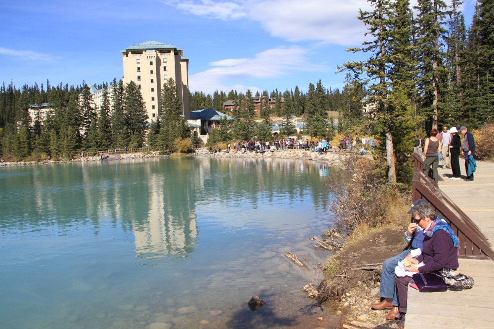
Looking back at the world famous Fairmont Chateau Lake Louise hotel, where even off-season, lake view rooms start at $419, lake view suites at $769.
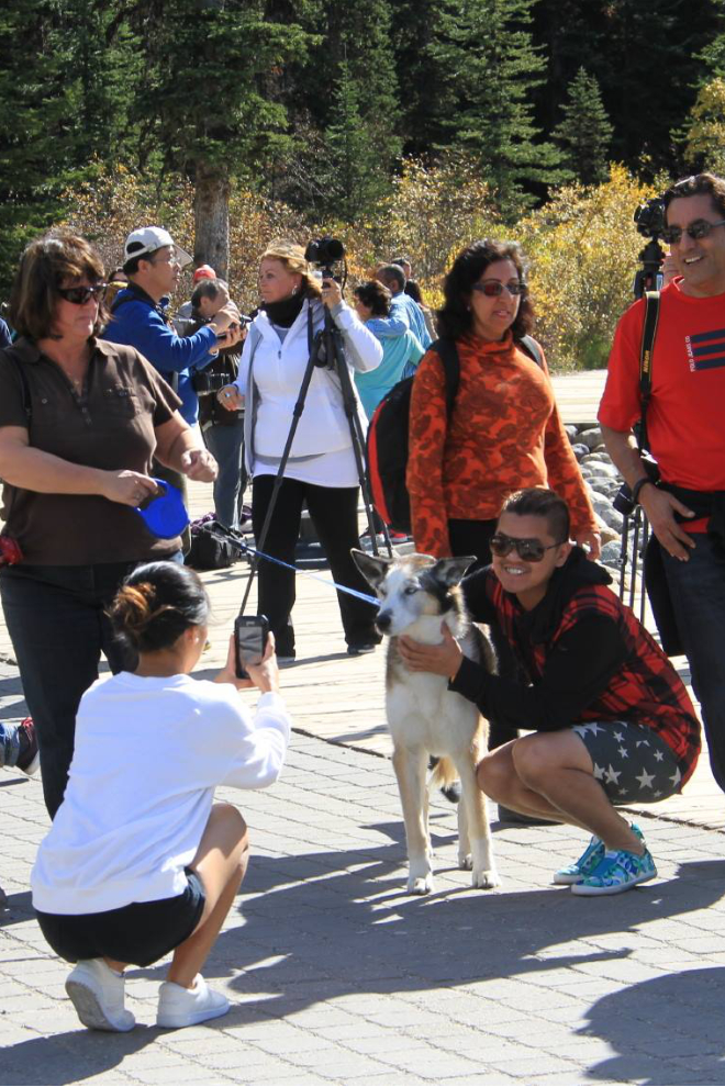
We’re always happy to let tourists pose with “a real husky!”, and Monty is always gentle and tolerant 🙂
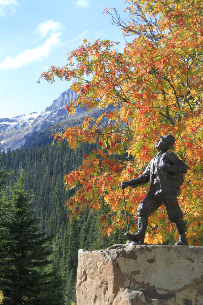
In 1899, the Canadian Pacific Railway brought the first Swiss Mountain guides to the Canadian Rockies, and a new form of tourism was born in an area that 6 years later would become part of the Province of Alberta. This monument was erected on the centennial of the arrival of those guides.
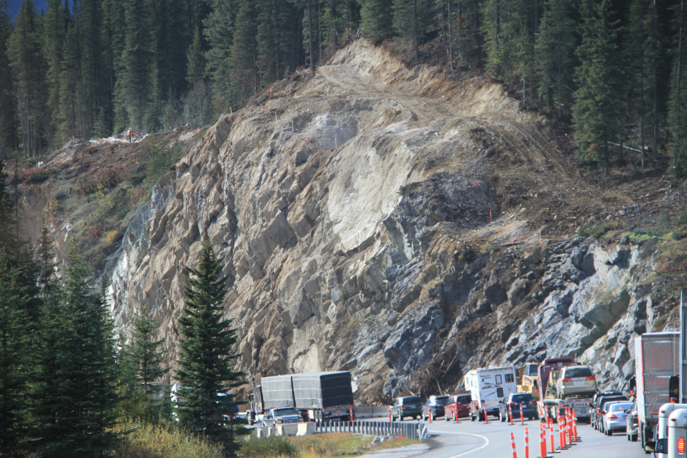
Half an hour west of Lake Louise just before 4:00 pm, we had a lengthy delay at an impressive piece of cliff-blasting. At the upper left, a man can be seen putting explosives into holes that had been drilled. We didn’t get to see a blast, though 🙁
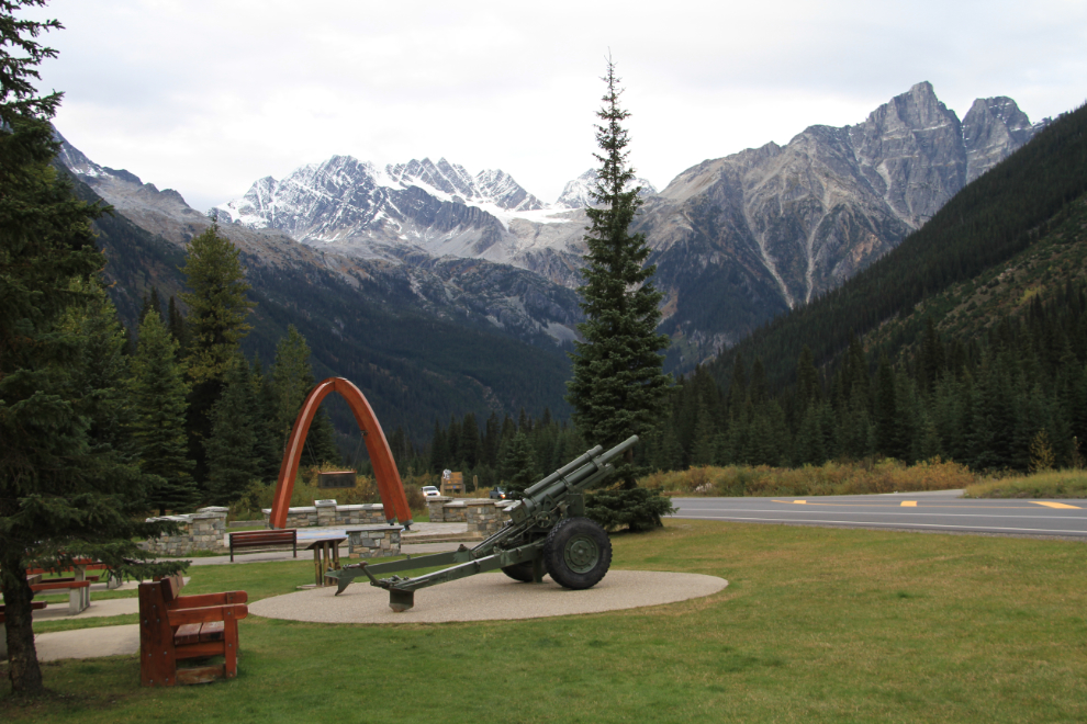
By 5:00 pm (we gained an hour crossing back into BC) were all due for a long break at the Rogers Pass National Historic Site, where the Trans Canada Highway was opened. On September 3rd, 1962, Prime Minister John Diefenbaker and representatives from all ten provinces attended the opening ceremonies. The pass is 1,330 meters high (4,364 feet). The gun is one of the ones that used to be used for avalanche control, but they’ve all been replaced by newer ones.
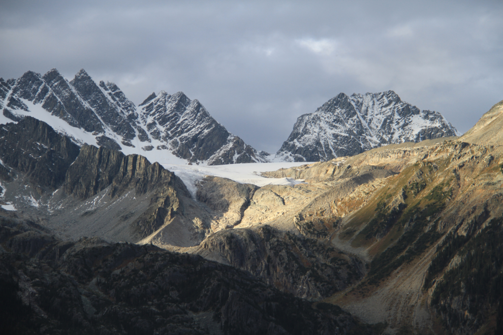
A closer look at the Swiss Glacier above Rogers Pass, with Hermit Mountain (3,110 m/ 10,203 ft high) behind and to the right of it.
At the eastern end of the historic site is a section of abandoned Canadian Pacific rail line. On March 4, 1910, an avalanche killed 62 railway workers near this spot, and in 1916, after a total of more than 200 people had been killed on the Rogers Pass section, the line was abandoned after the 8 km (5.0 mi) Connaught Tunnel under the pass was completed.
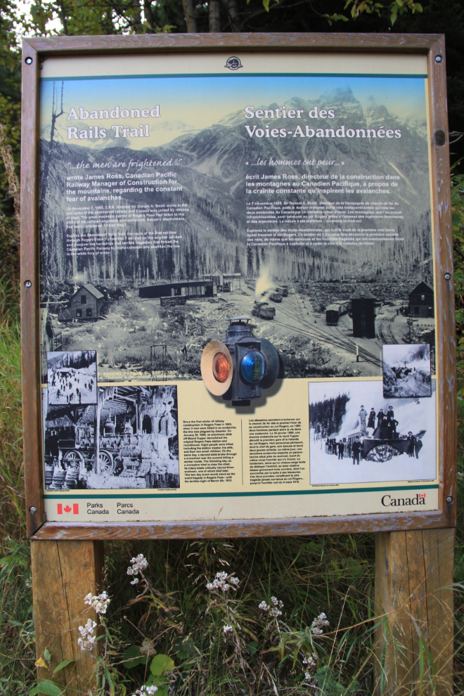
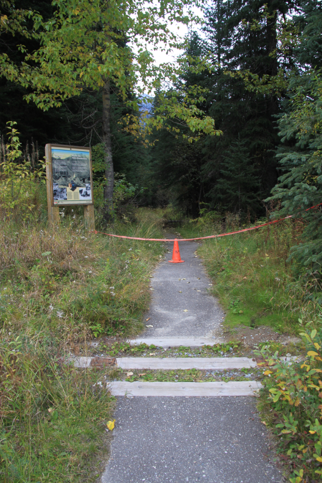
The 1-km Abandoned Rails Trail was closed for some reason.
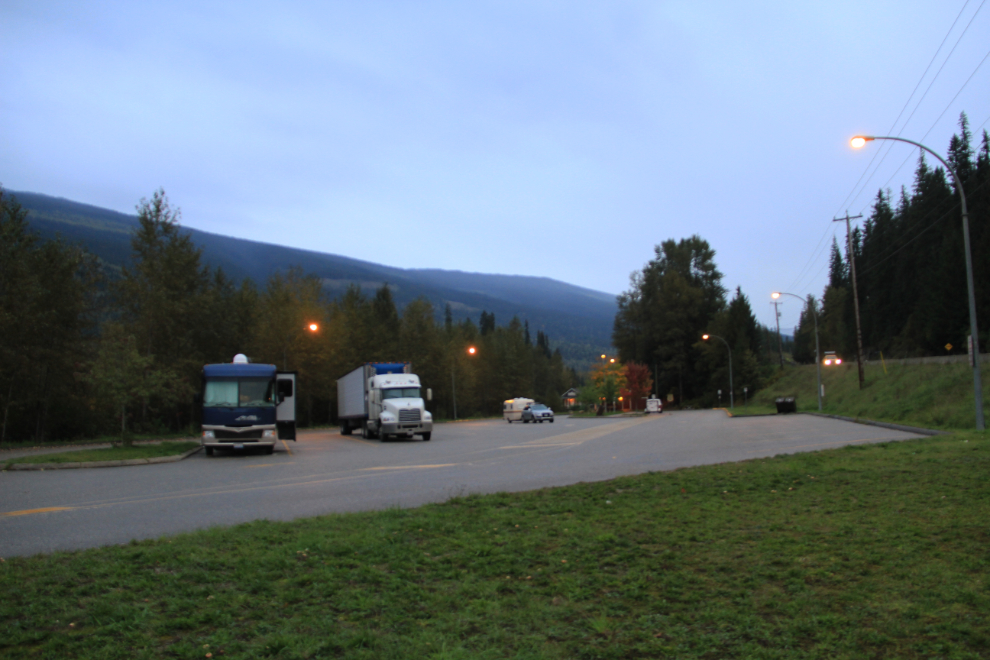
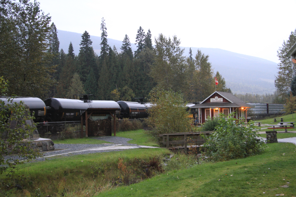
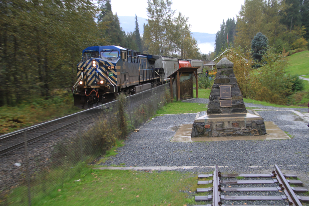
At about 6:30, just before sunset, we stopped for the night at a rest area at Craigellachie, west of Revelstoke. It was here that the “Last Spike” of the Canadian Pacific Railway was driven by Sir Donald Smith, a director of the railway, on November 7, 1885. Pinched between a busy highway and a busy railway, it wasn’t a peaceful spot, and neither of us slept well. We didn’t expect it to be quiet, and in fact chose it so we could see some trains, but I hadn’t expected a semi to park beside us and keep his engine running most of the night.
It started raining very early in the morning, and got steadily harder, but I went out and got the first of the photos I wanted of the site and trains, which went by about every 15 minutes. The building in this photo is a gift shop run in the summer by the Revelstoke Railway Museum. The first bus full of Asian tourists stopped in at 07:20 (!), and several more came through before we got back on the road.
The next photo, shot from a caboose sitting there, shows the Last Spike monument and an east-bound freight train.
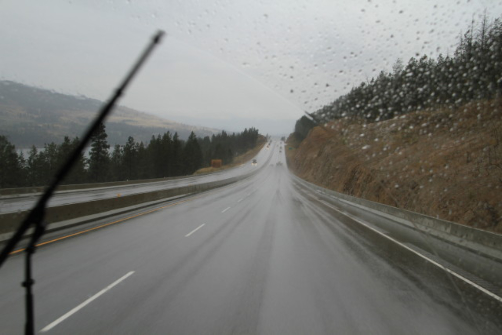
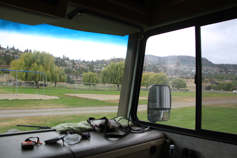
The rain continued even as we reached the north end of “the Sunny Okanagan Valley”, but became scattered as we neared our destination.
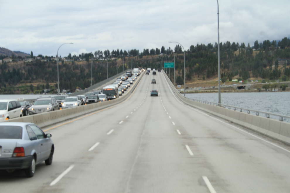
For our campground for the next few days, we had decided to continue past Kelowna to avoid the congestion that so often chokes the roads. This multi-km jam across the floating bridge was caused by an accident on the main highway through the city.
We were in for a surprise when we got to Todd’s RV Park in Peachland, however. With generally good reviews on TripAdvisor and not having seen anything to the contrary, we showed up to get a site for 4 nights, and were surprised to find a very tight, very old campground. We were even more surprised when they said that we couldn’t stay there because we have 2 huskies! As it turned out, I’m glad they did, because we got a much more suitable campground in West Kelowna for the same price ($38).
Going back to West Kelowna, we were settled in at the West Bay Beach Resort by 2:30, and were at Dad’s place not longer after.
We’re now in Kelowna for a few days. Although Cathy flies back to Whitehorse on Sunday night, I’ll be staying to see more family and do some writing, then will start a fairly slow wander home.