A short drive, Chilliwack to the Hope Slide
After a couple of days camped at the Cottonwood Meadows RV Park at Chilliwack and visiting long-time friends in the area, Day 17, Tuesday, May 10th, was the next exploring day. I had 2 nights, 3 days to drive the 358 km to Bear Creek Provincial Park in West Kelowna, through an area which has an enormous amount to see and do – an area that I spent a lot of time in 40-50 years ago.
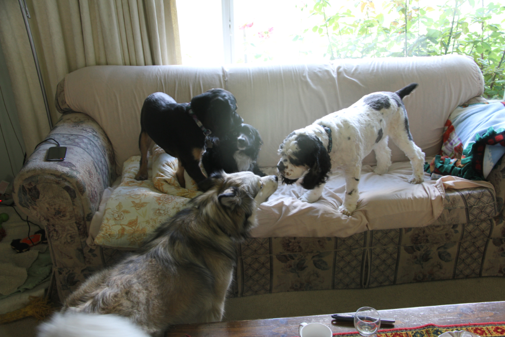
While visiting Lorne and Helen, who I know from my days working at the Surrey Post Office, Bella and Tucker got some good play, both inside and outside, for the first time on the trip.
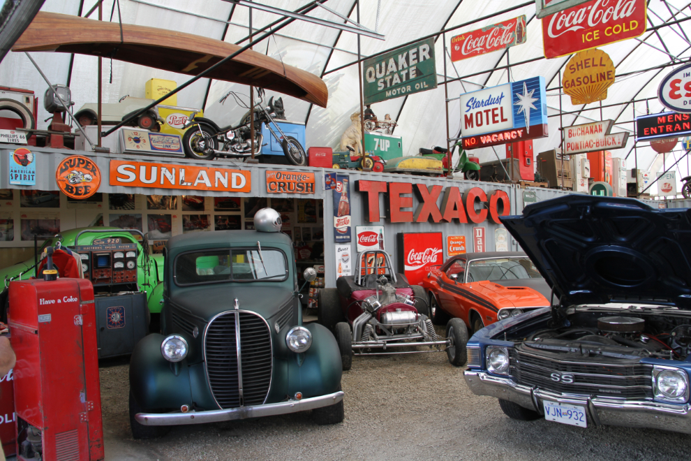
Dave and Jan are friends from high school – the only ones that I’ve never lost touch with. A love of cars – race cars in particular – has been our strongest common interest, and Dave came out Tuesday for breakfast and to show me the incredible collection of cars and related material that a friend of his has. The purple race car in the centre was Dave’s for many years.
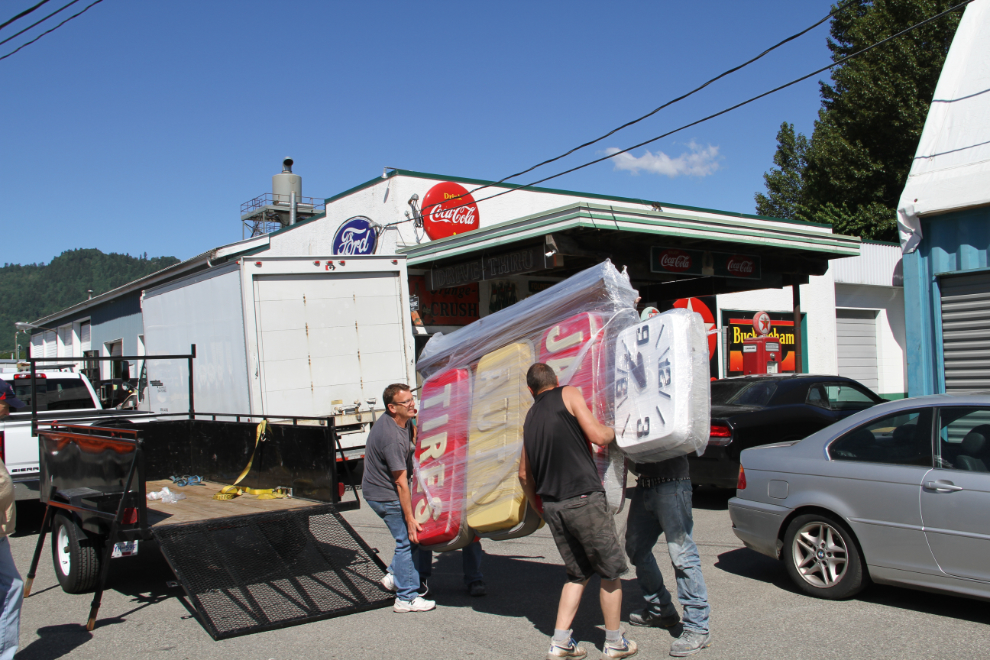
As we were leaving, another addition to the collection arrived. Quite incredible, and it was great to see that Al loves sharing his passion. Once Dave introduced me as an old racer and I told him about pulling an 11:43 and doing wheelstands with my ’69 Camaro, I was “in” 🙂
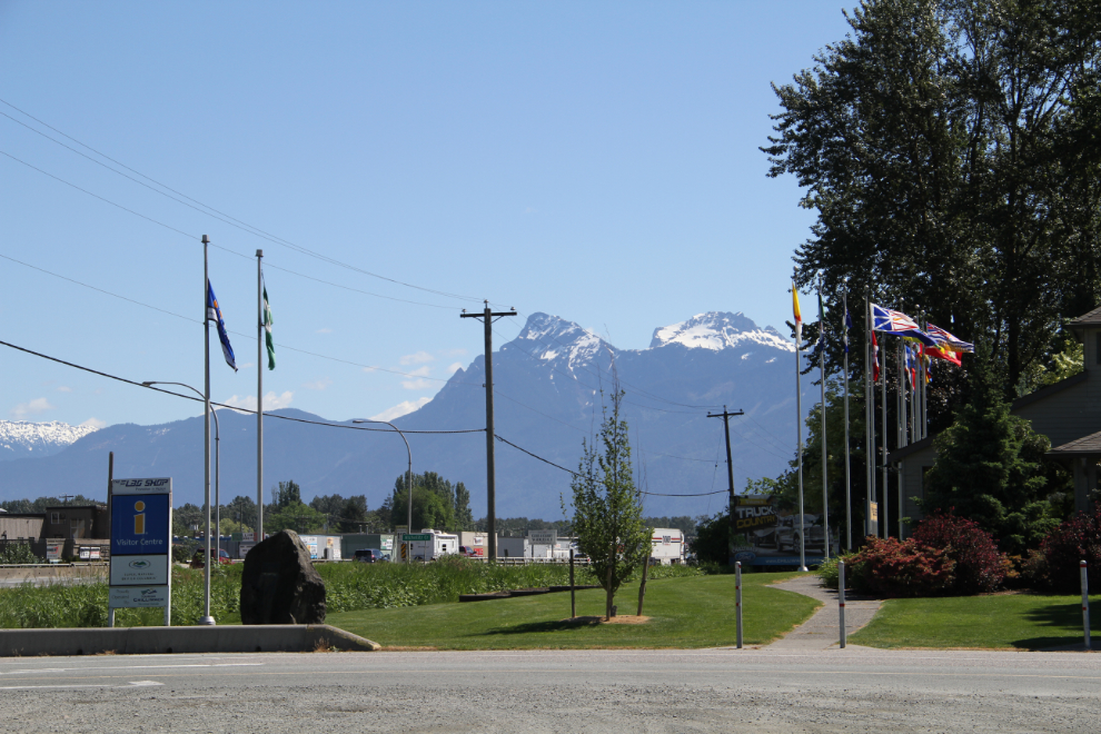
I was packed up and away from Cottonwood a few minutes after the 11:00 checkout time. My first stop was the Visitor Information Centre next door, to walk the dogs and get some material about the next legs of the trip. The pointy peak in the photo is Mount Cheam. The first photo I ever sold was shot from its summit in the Fall with a fresh blanket of snow – it was used for the local newspaper’s calendar in 1988 or so.
On the road – Highway 1 East – just before noon. I hadn’t yet repaired the cupboard door that got ripped off in the deer crash at Yale, and I decided to find a quiet spot to do that after a plastic cup fell out and scared Bella. Bad daddy!
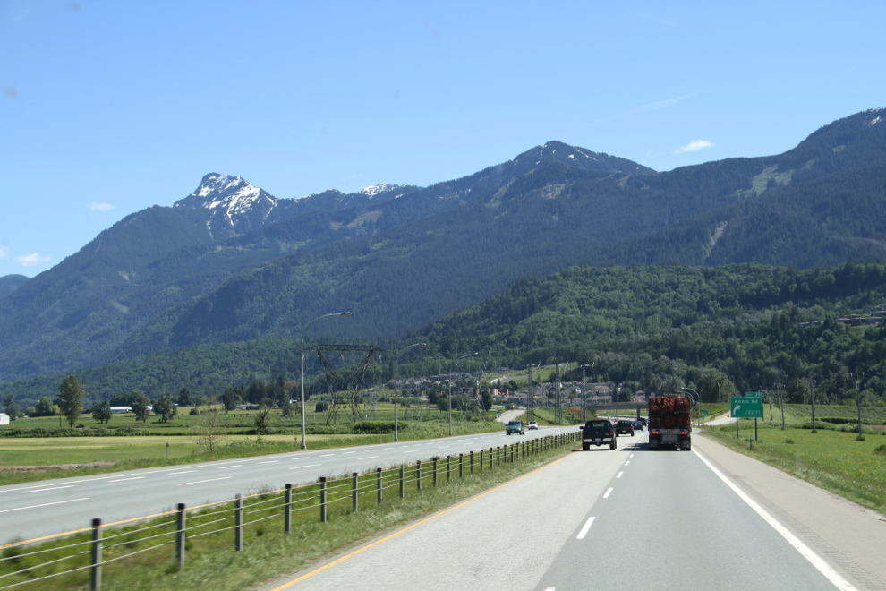
Bridal Veil Falls Provincial Park would be a good stop. There’s plenty of easy parking for large RVs and buses. I got the repair done, having picked up new hinges in Chilliwack, then went for a walk to the falls without the kids.
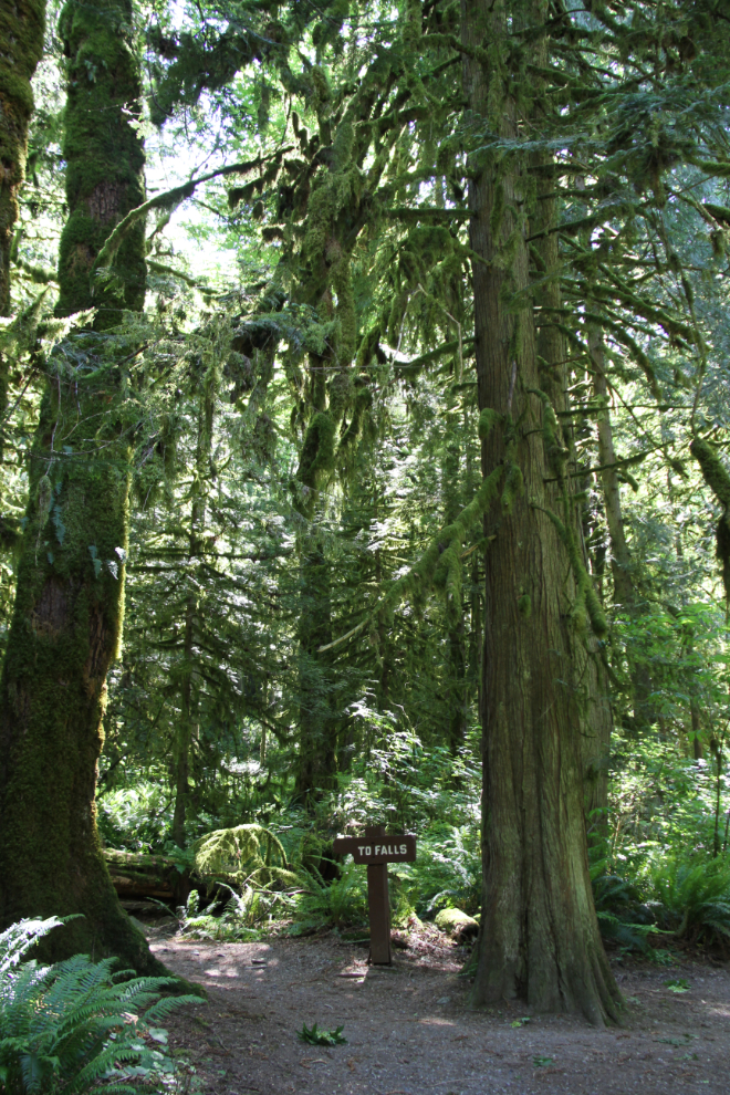
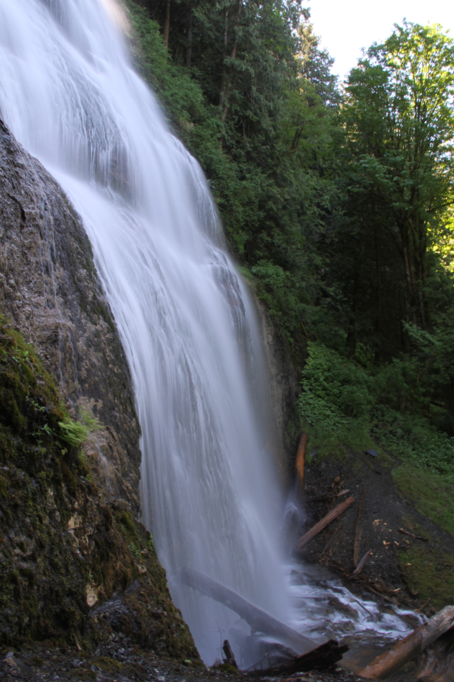
Bridal Veil Falls is quite spectacular, and I spent 10 minutes there shooting. I should have taken my tripod with me for the long exposures, but bracing the camera against trees and logs worked okay up to about 1 second.
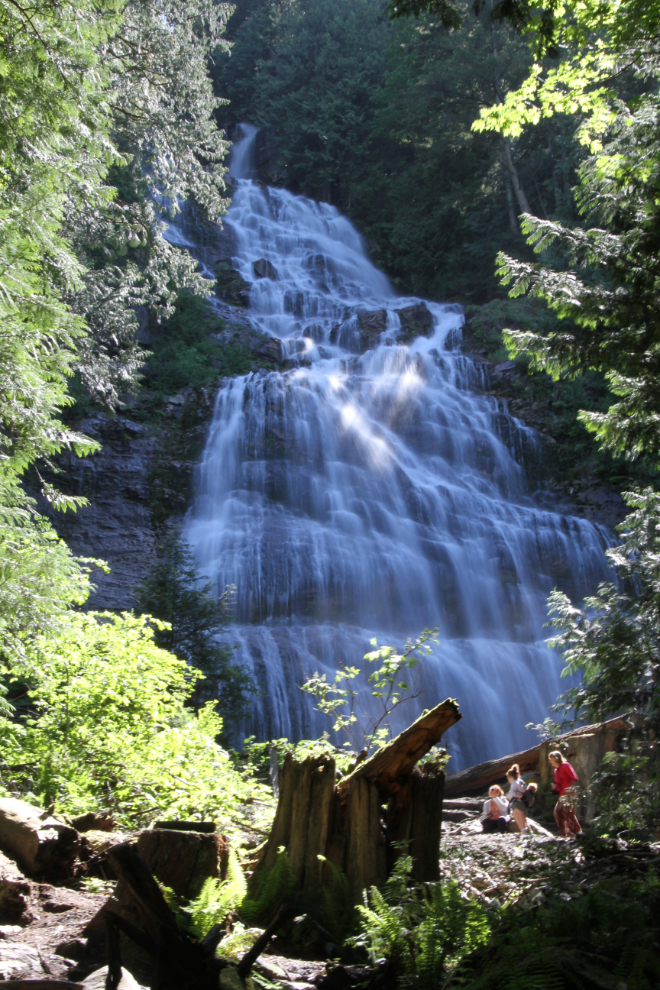
This is a hand-held 1/2-second exposure (f22, ISO 100).
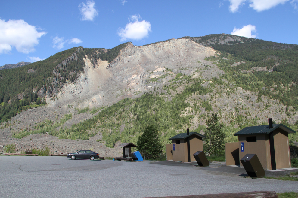
When I got to the Hope Slide at about 2:30, I decided that would be the camping spot for the night. An afternoon nap was in order before any more exploring.
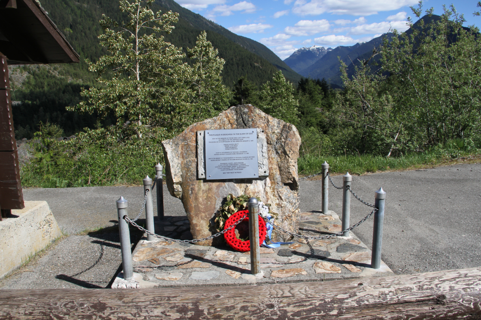
Whoever installed this plaque to replace the brass one that was there should have checked the grammar and facts first. The memorial, though, is for the 4 people people who died in the slide on January 9, 1965, the man who died when his plane crashed there on August 13, 1965, and the 5 members of the Royal Canadian Air Force who were killed when their plane crashed there on April 23, 1966. I remember that incredible string of tragedies.
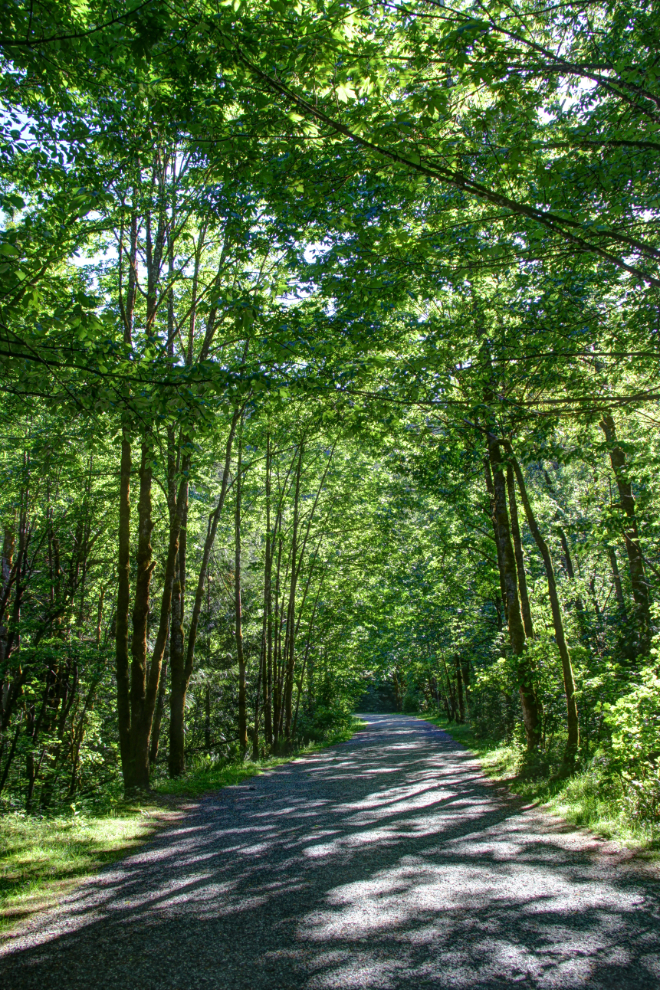
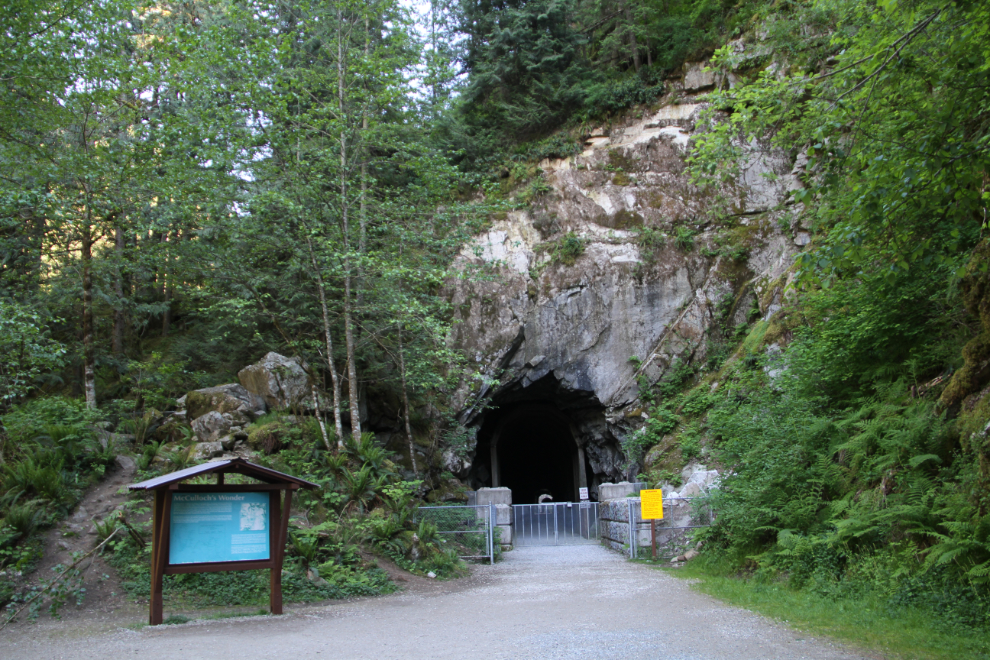
Although the woman at the Chilliwack Visitor Information Centre told me that the Othello Tunnels park was still closed, I decided to make the short drive back to see what “closed” meant exactly. The trail to the tunnels is the old Kettle Valley Railway bed – when we started going to the tunnels in the late 1950s, it was a road.
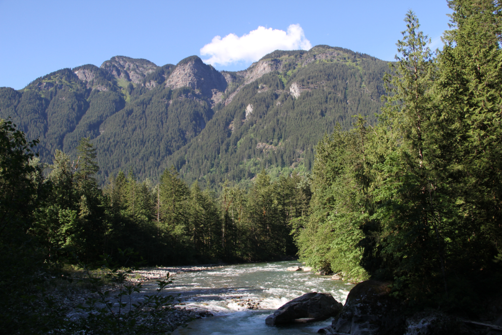
The Coquihalla River. Did this ever bring back memories! All of them good, from many dozens of days and nights in this valley long before there was a highway. I swear that the Coquihalla has a distinctive smell, and I inhaled deeply.
Okay, so “closed” means that you can’t enter the tunnels. While I really wanted to see them all (there are 5 tunnels through the Coquihalla Canyon), it was still well worth coming back to see.
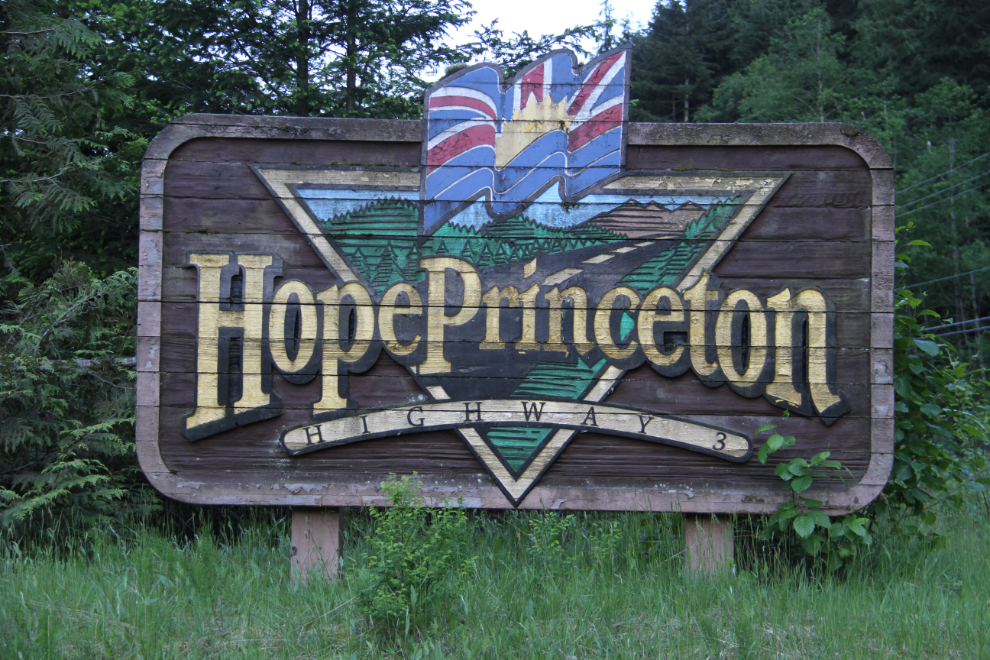
While driving up to the slide with the motorhome, I caught a glimpse of an old Hope-Princeton Highway sign, probably from the late 1960s, now almost hidden by trees. In the Tracker, I was able to stop to get a photo of it. The opening on the Coquihalla Highway 30 years ago turned both the Fraser Canyon and Hope-Princeton into tourism backwaters. Through the canyon, most businesses are closed, and while there were almost none on the Hope-Princeton to close, no new ones have opened.
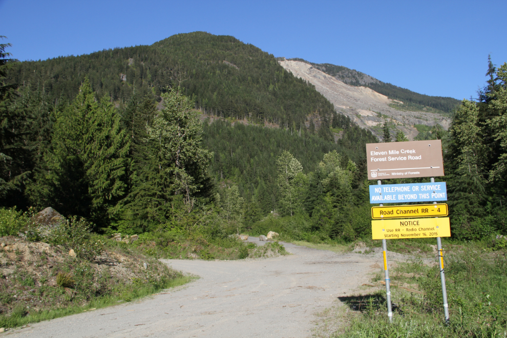
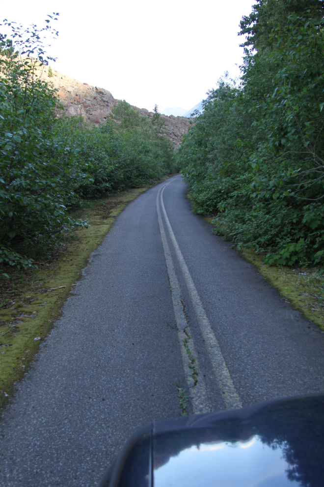
Nearing the Hope Slide, I decided to see where this road goes.
I was able to squeeze the Tracker between the boulders put in place to close it.
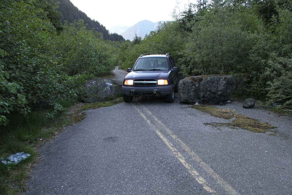
It’s the old highway – kewl! 🙂 The first part of the road is probably from the ’50s, and this part would have been built on top of the slide right after it came down in 1965. And by being very careful, I was able to get right back to the motorhome on the old highway. We got back just after 6:00 pm.
It was an early night as always. The next day would be another very short driving day, probably just 100 km or so to the Hedley area.
