A look at Ucluelet, and starting the drive east
On Day 17, May 12th, we reluctantly left Long Beach and went to visit family in Qualicum Bay for 3 days. Before leaving the area, though, we stopped for a look at Ucluelet.
The day started off wet again.
Very wet!
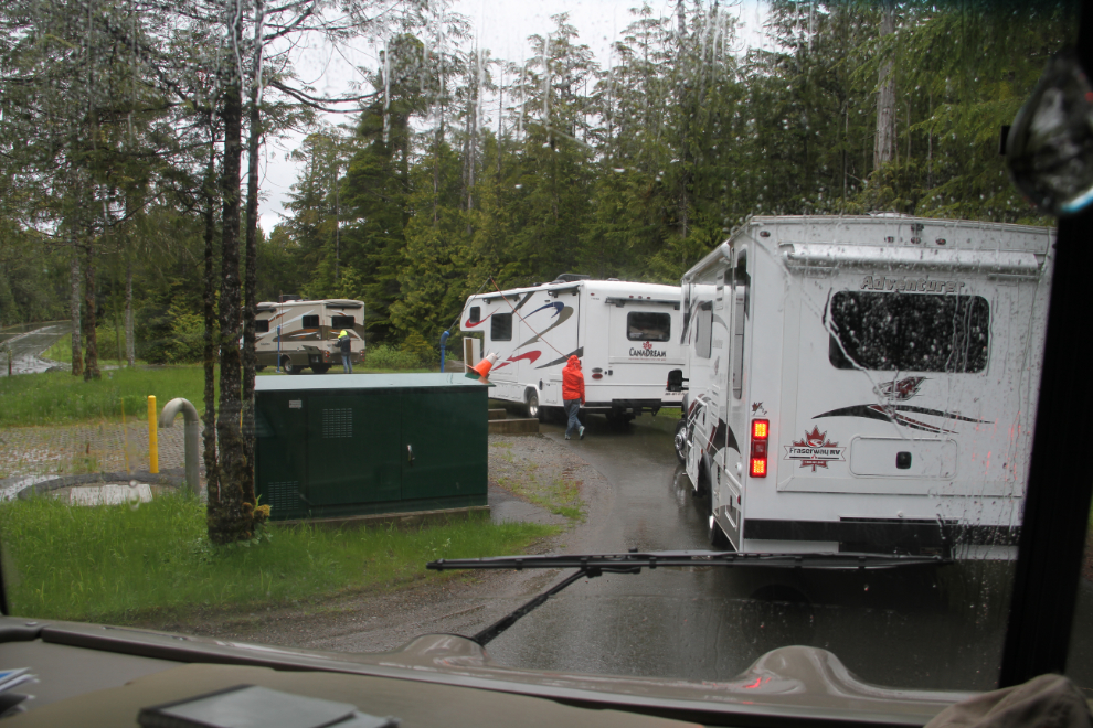
I’ve said that Green Point Campground gets top marks in every category. This morning, they got a very poor mark in the final category – the RV dump. With the campground maybe 20% occupied, there was a lengthy wait to use the single dump.
We didn’t bother hooking the Tracker up for the 8 km drive to the Visitor Information Centre where I parked the RV, then we drove the Tracker 13 km into Ucluelet.
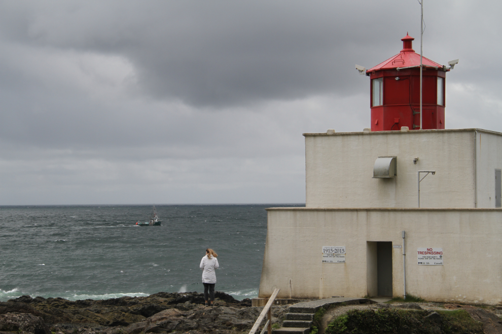
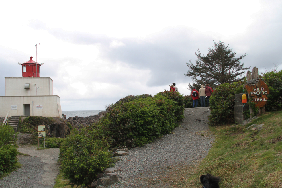
It stopped raining, so our first stop was the Amphitrite Point Lighthouse. As we walked towards it, I saw the next photo coming and ran to a good spot to capture the moment.
The Amphitrite Point Lighthouse was built in 1915 to replace a wooden one that had been built in 1906 but was destroyed by storm waves in 1914.
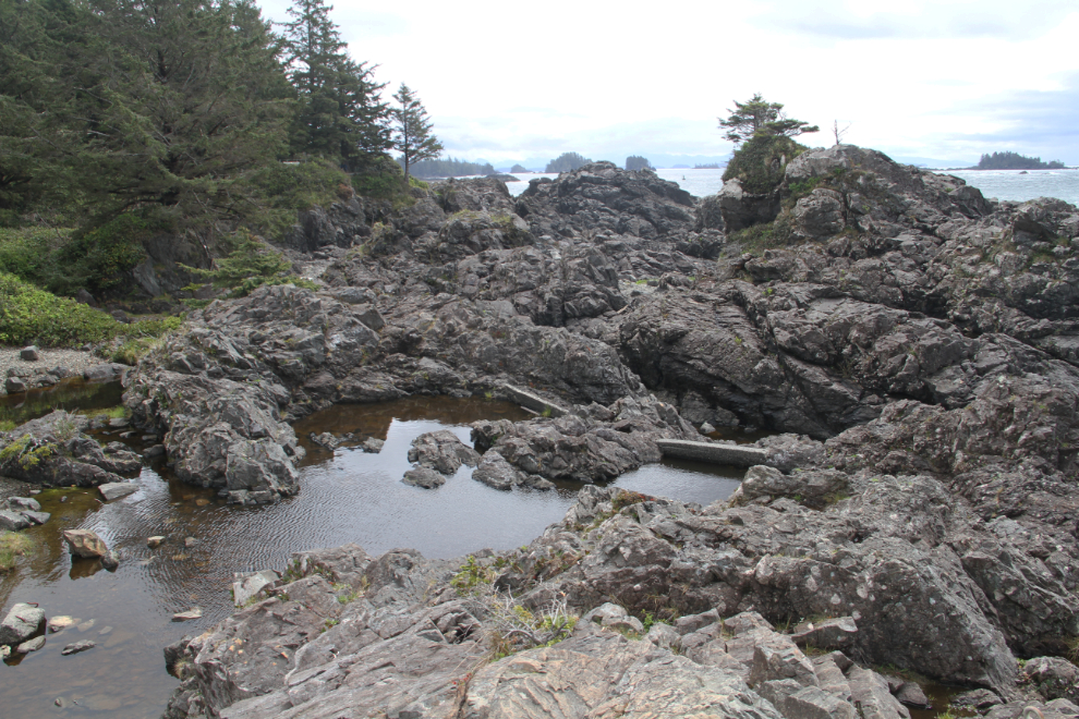
This holding pond with concrete dams held water for the lighthouse’s steam-powered fog horn.
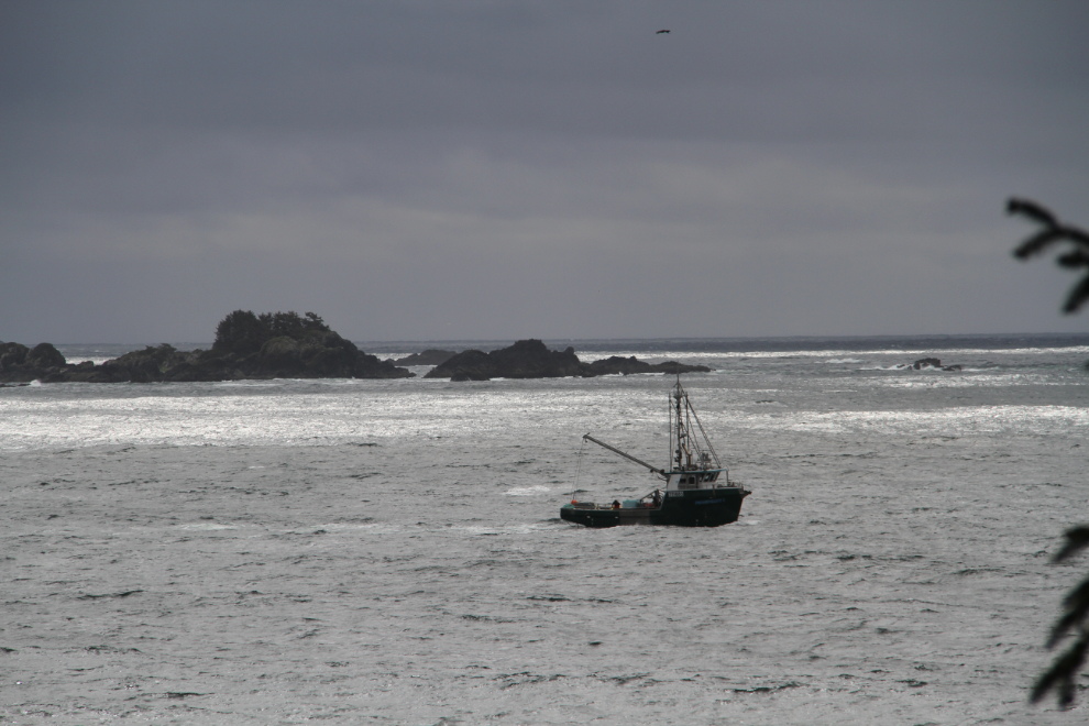
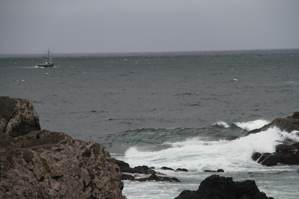
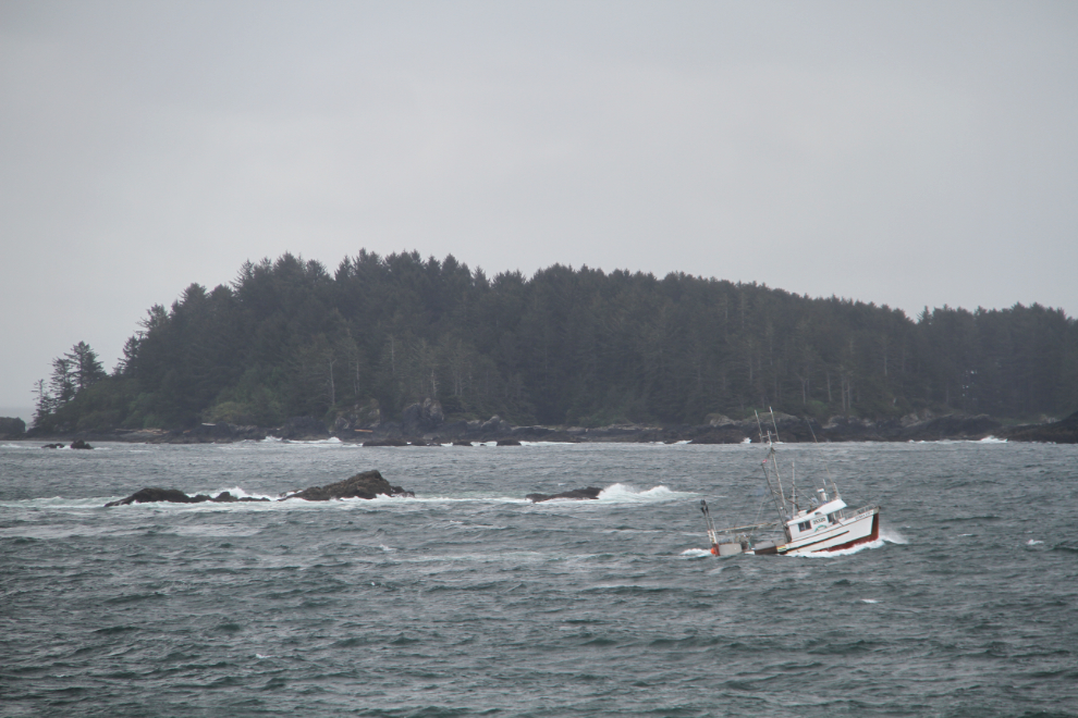
A fishing boat passes Amphitrite Point.
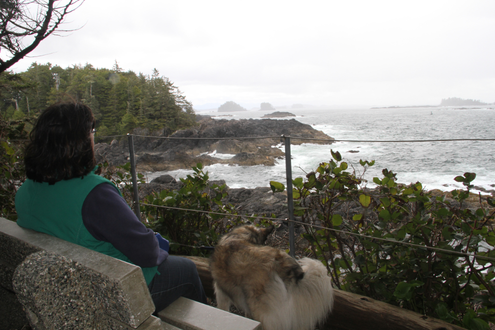
The Wild Pacific Trail, which totals about 8 km of excellent trail, provides access to many of the most dramatic sections of the coastline around Ucluelet.
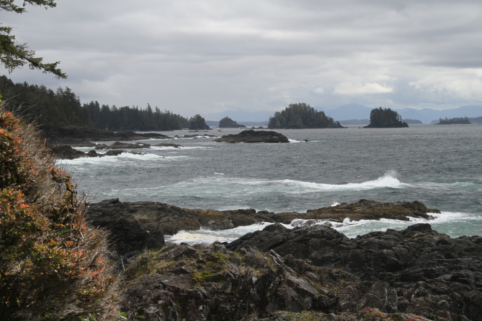
Construction of the original lighthouse was spurred by the wreck of the Pass of Melfort in the early hours of December 26, 1905. Everyone on board – at least 27 people including 1 woman – died. Though the rain had started again, we decided to go for a walk along the Wild Pacific Trail to see the wreck site.
How can you not have great respect for people who go to work in conditions like that?
This bay is where the 299-foot steel 4-masted barque Pass of Melfort was destroyed by the rocks and surf. The Wild Pacific Trail is a wonderful walk even in the rain. It’s wide, fairly level, and many benches have been donated.
I really wanted to see more of Ucluelet generally, and the Wild Pacific Trail specifically, but time was marching on. Just after 12:30, we hooked the Tracker up again and headed for the east coast of the Island.
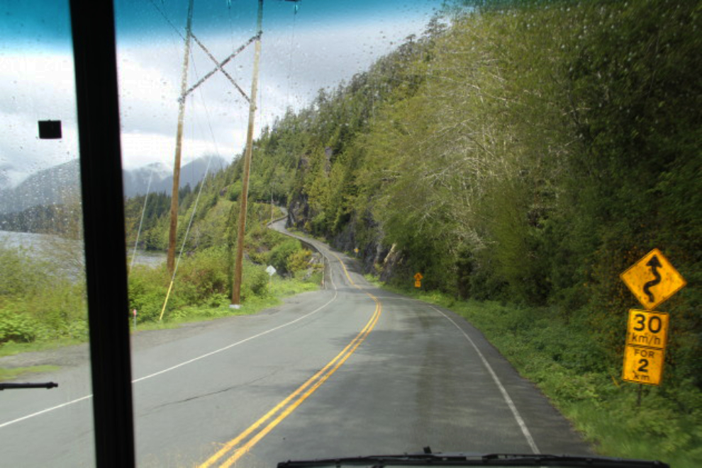
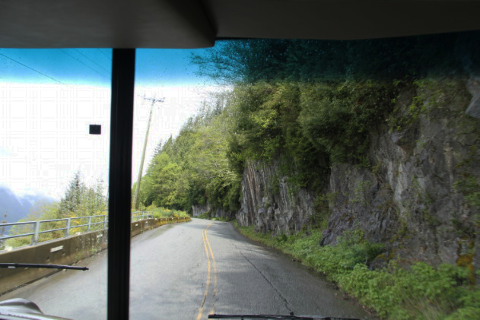
There are a couple of dicey pieces of Highway 4 when you’re driving a large vehicle. This one is the worst – with narrow roadway and overhanging rocks, it’s impossible to stay in your own lane.
We made a long lunch stop at a rest area, and Molly took on the job of bug-catcher. She’s very good at it, and seems to enjoy it 🙂
By 6:00 pm, we were set up in my oldest sister’s yard, and ready for a whole lot of visiting…