A look at Rocky Mountain House National Historic Site, Alberta
While my daughter and her partner, and my grand-daughters were all at work or school, I went exploring to the north, to see a historic site that’s been on the must-see list for many years. Now it’s still on my must-see list, at a time when it’s open!
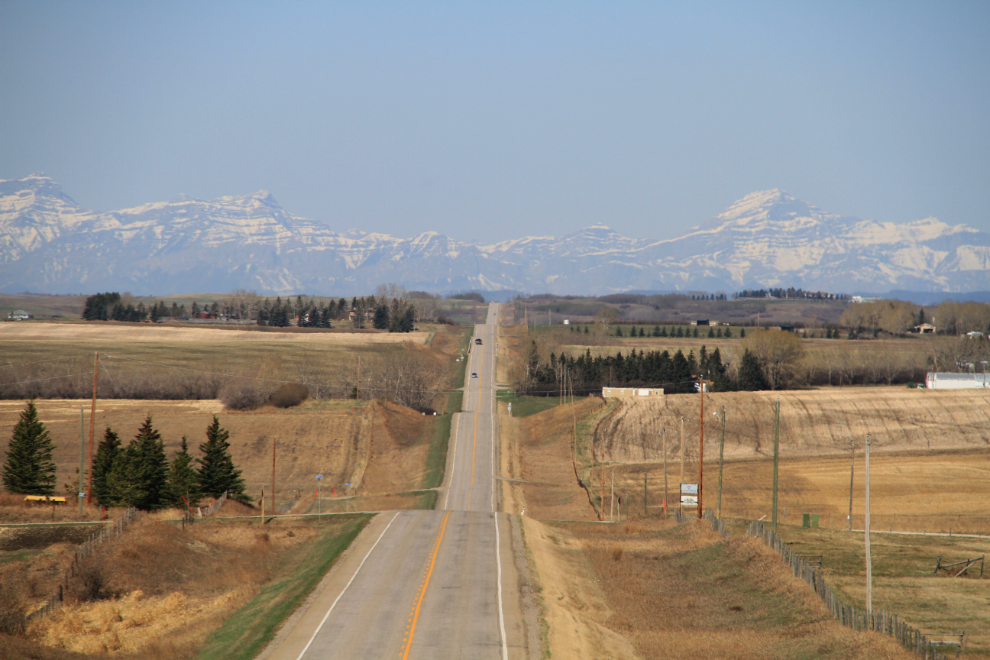
The fast way from Airdrie to Rocky Mountain House is mostly freeway, but I was in no hurry, so I headed west on Highway 567, Big Hill Springs Road. This is really pretty country. Going this way, it’s just over 200 km (124 miles) each way.
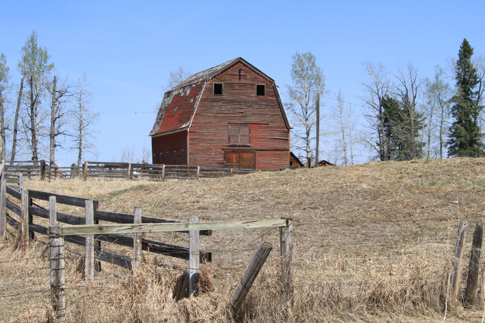
I’ve already discovered that the navigation system in the Cadillac is very poor – I’ve gotten some extremely poor routing – but haven’t totally given up on it. It got me to the community of Rocky Mountain House, and eventually led me down a gravel road, past this photo-op barn.
A couple of minutes after the nav system said that I was at the park, I was about to turn around when I saw the gate.
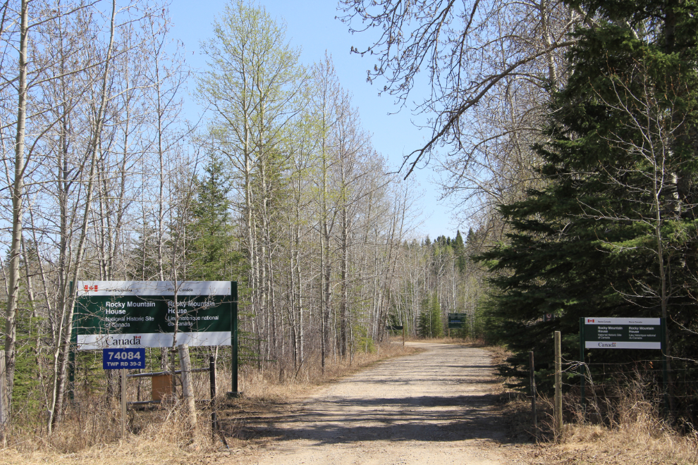
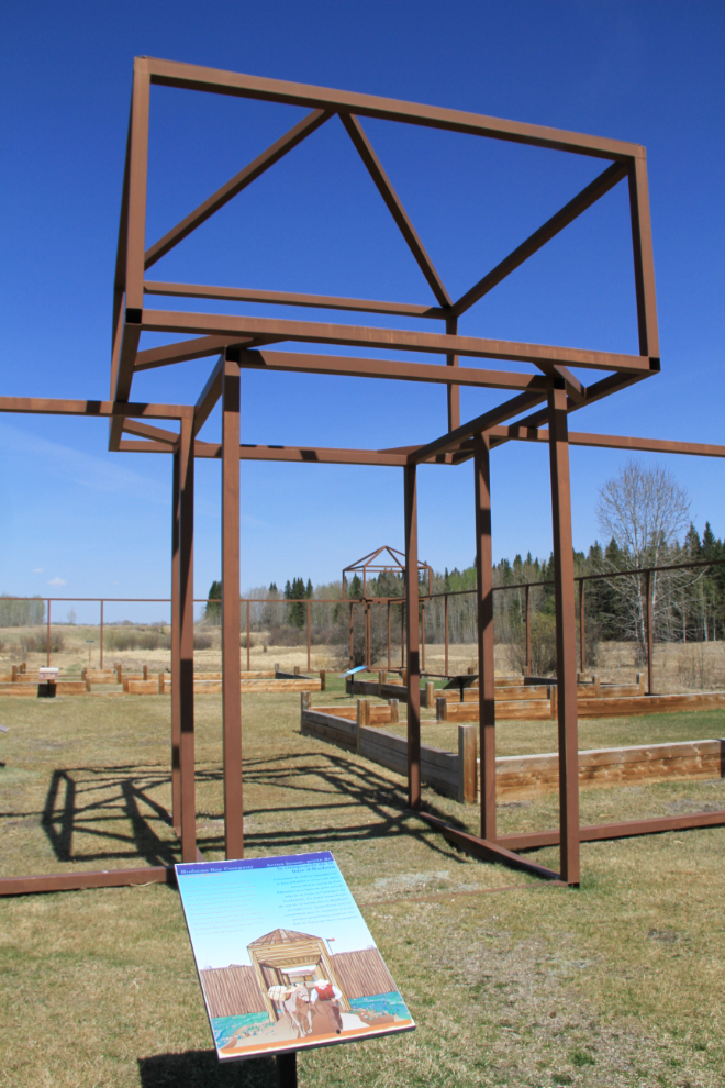
The park’s Web site said that the park was closed until April 30, then gave the hours from May 13th on, but gave no information about what to expect today. It was closed, but I walked around the site – the structure is the site of a fur trading fort built in 1799.
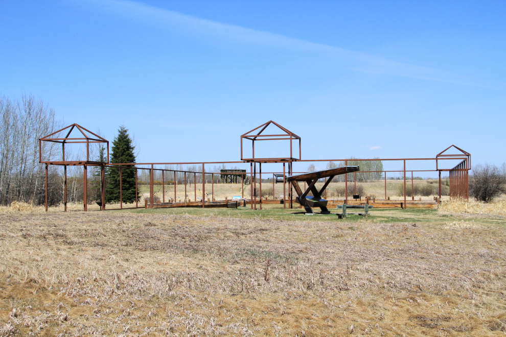
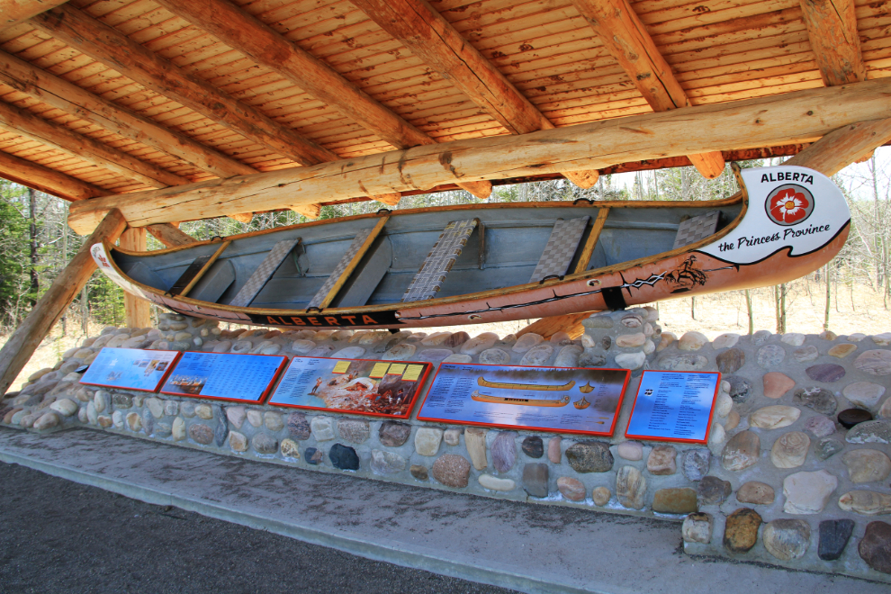
Among the displays is one of the large voyageur canoes used in the 1967 Centennial Voyageur Canoe Pageant, the longest canoe race in history, at 5,283 kilometers (3,283 miles). Teams representing ten provinces and territories retraced a fur trade route from Rocky Mountain House to the Expo ’67 World’s Fair at Montreal. The “canot-do-nord” (North Canoe) opened up the West to the fur trade. Its shallow draught and light weight made it ideal for the waterways and portages beyond the Great Lakes. These fragile canoes were made of birch bark stitched with fine roots to a wooden frame; their seams were sealed with spruce pitch. They required almost daily repair but cvould be carried by two men and could hold a ton and a half of cargo and eight paddlers! The canoes used in 1967 were patterned after the north canoe but were narrower and constructed of fibreglass.
The interpretation is simple but I found it to be very effective in taking me back 300 years.
A viewing platform gives a good look at the area.
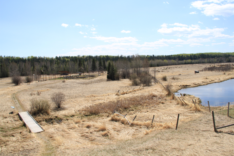
It wasn’t until I got home that I realized that this was the back part of the large park, so the navigation system had indeed led me astray again. But I saw enough to know that I want to return in the summer when everything is in operation.
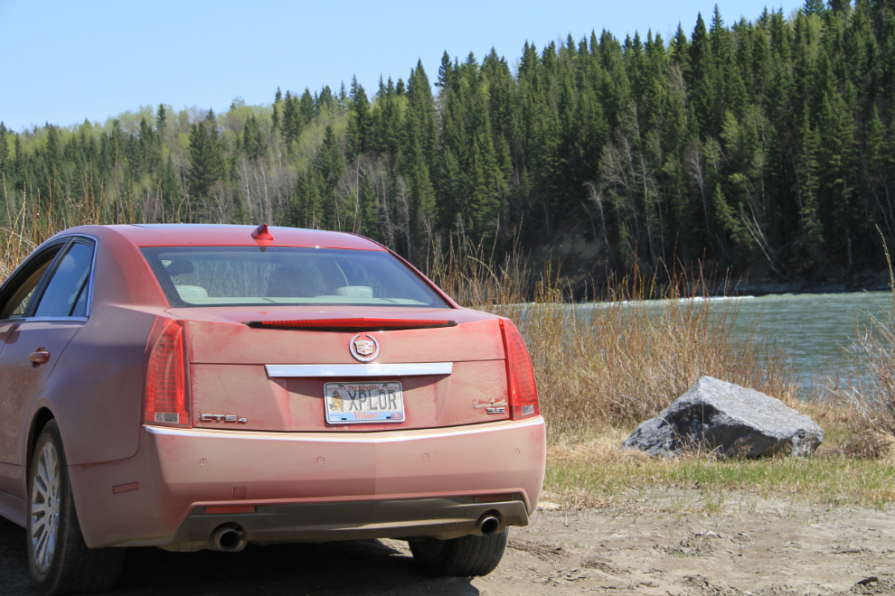
Only 24 hours off the lot, the new XPLORer was already very dusty! The nav system said that the nearest car wash was 66 km away (that also turned out to not be true, but I got cleaned up there anyway). 🙂
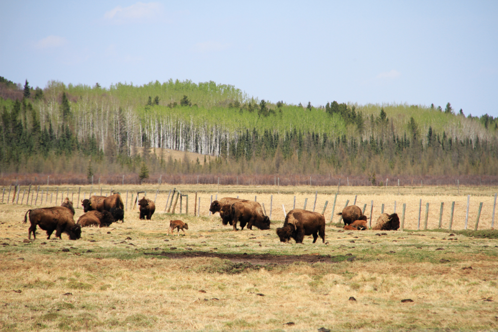
A bison farm near the park, with a couple of calves in the herd.
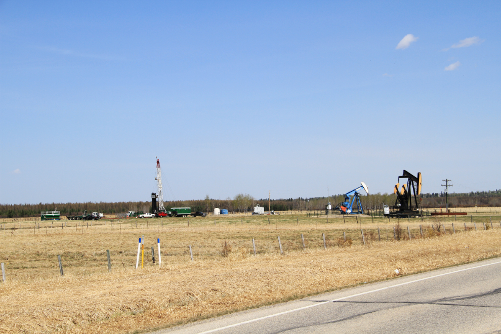
Various types of oil and gas rigs are seen often – these ones are right beside the bison farm.
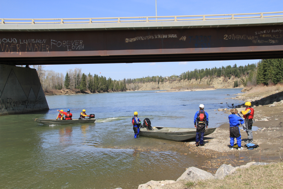
I saw some bright colours on the North Saskatchewan River as I crossed on the bridge at Rocky Mountain House, and went down to investigate. Environment Canada was doing a river rescue course for some of its workers.
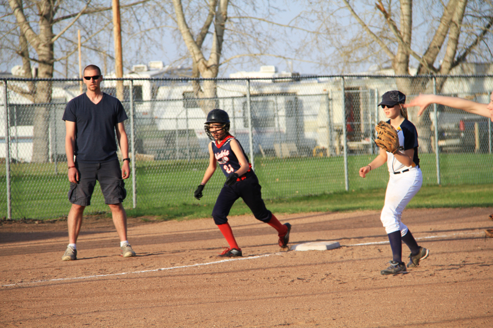
After a day of exploring, the evening was Grandpa time – I picked up one of the girls at home, picked up my daughter and her partner at work, then drove another half-hour east to watch the other grand-daughter playing softball. It was a lovely evening for some small-town family fun.
As soon as I post this, I’m off to another southern Alberta historic site – more sunshine, more history, and more photo ops 🙂