A hike at Summit Creek in the White Pass
We’ve been having incredible weather to end the summer, and I’ve been trying to get out as much as possible. On Monday, September 1st, we took the motorhome to the White Pass, and got home last night. I got one good night of aurora, two excellent hikes on the south and north sides of Summit Creek, and some fun beach play time with Tucker 🙂 I started to tell you about the whole trip in one post, but it got too long, so this is about the drive down and the first hike.
The outing got off to a very bad start. To keep things as simple as possible, Cathy followed me in the Jeep rather than tow the Tracker as we usually do. An hour south of home, I could see that she wanted me to stop, so I pulled over at the Bove Island viewpoint. She asked if I had our passports. DOH!!! 🙁 The discussion that ensued included the option of just cancelling the trip, but I ended up heading back home in the Jeep to get them while Cathy and the dogs waited for a couple of hours. Long story short, the Jeep died. It seems to be a transmission failure, but I managed to nurse it home (barely!), and went back with the Tracker.
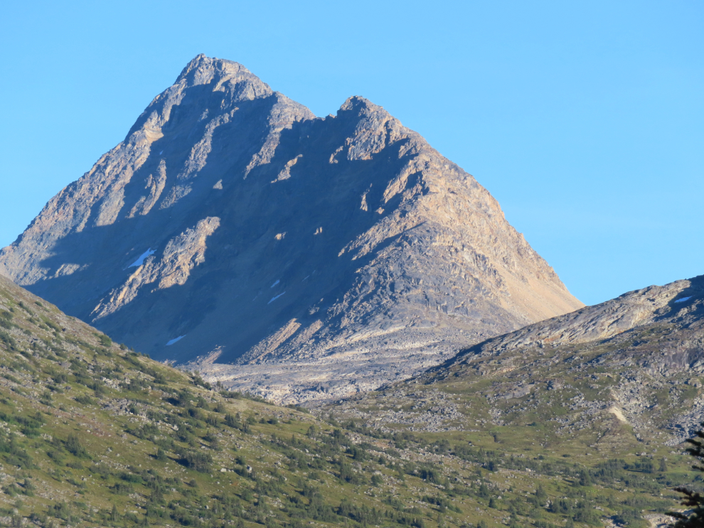
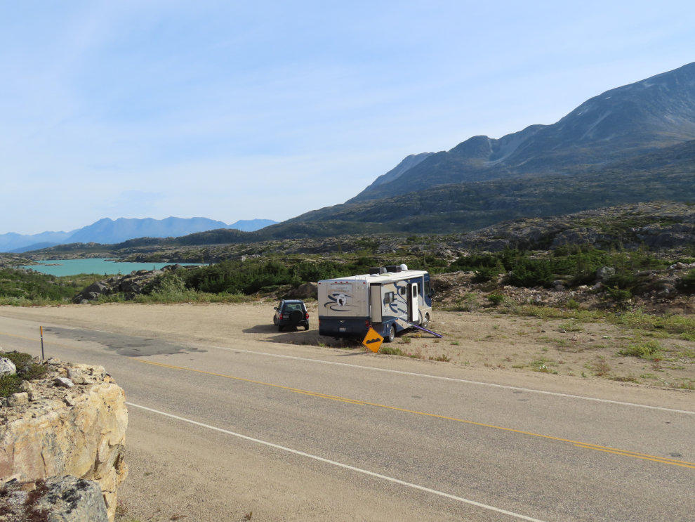
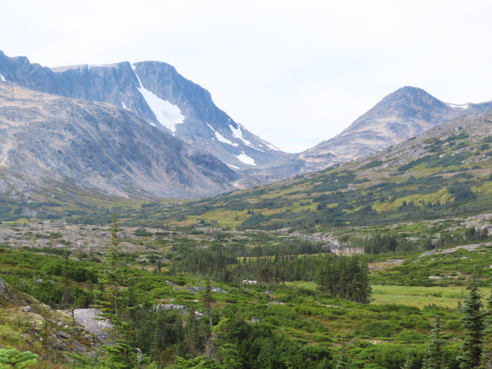
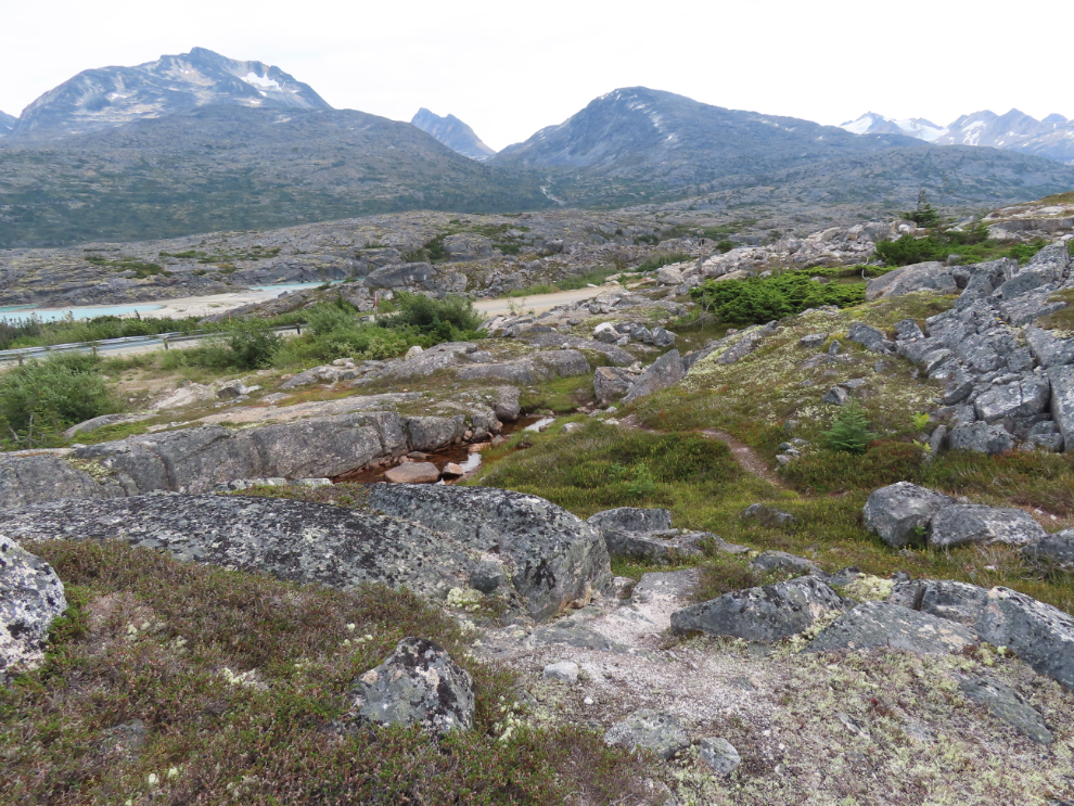
By about 4:00 pm we were set up just south of Summit Creek, among the dramatic, powerful granite peaks.
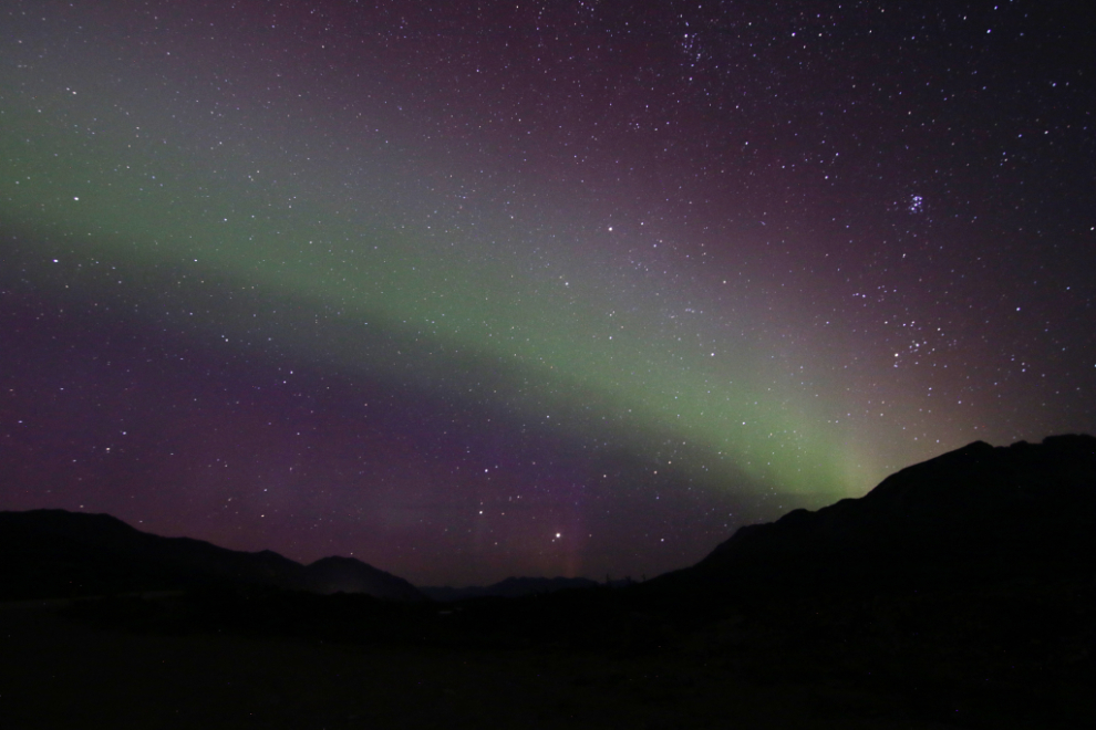
As well as amazing weather, there was a forecast for an extremely good aurora Monday night. I got up a couple of times and saw nothing, but at 02:30 Lady Aurora had made an appearance. Far from the Level 7 display that had been forecast, but worth getting up for 🙂
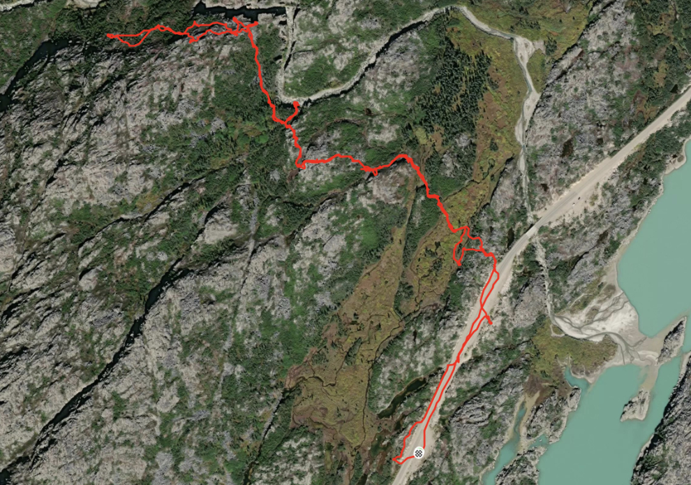
On Tuesday, September 2nd, a hike up Summit Creek was the main draw for this trip. It had been mentioned on one of our main hiking pages at Facebook, and I was worried that there would be other hikers so I wouldn’t be able to hike in complete comfort – when I started out, I had a plan B in my mind if there was a vehicle at the trailhead. The map is from my Strava page, where you can have a better look at the route. In the 3 hours, 17 minutes I was away, I was only hiking for 87 minutes, and put on 4.16 km – I was there to savour the country, not rush through it on a mission.
Before I headed out, though, our good friend Tim Pickerel from Skagway dropped by in his van with a tour group from Elkhart, Indiana (“RV capital of the world”). Tom runs Skagway Yukon Custom Van Tours and has solid 5-star reviews at TripAdvisor. I had invited him to stop by, as I still always enjoy chatting with visitors.
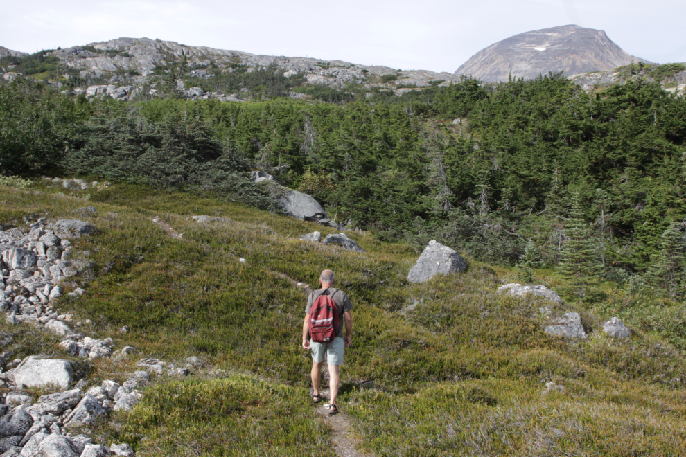
I began my hike, which I told Cathy would last 3-5 hours hours, by climbing the little ridge we were parked beside – it gave a good look at our location. In recent years we had moved to another pullout north of Summit Creek, but tour busses have now taken over that one, so we’re back to where we started 10 years ago.
Before starting this post, I posted a rave on the Rants & Raves page at Facebook, thanking the tour bus operators who, ten years after the public education blitz about building cairns/inukshuks in the wilderness, are continuing to keep these places clear of them. Prior to 2015, there was even at least one Skagway operator who made building them part of their tour. Perhaps this tiny act of teaching their people about respect for the wilderness will carry through into other parts of those people’s lives.
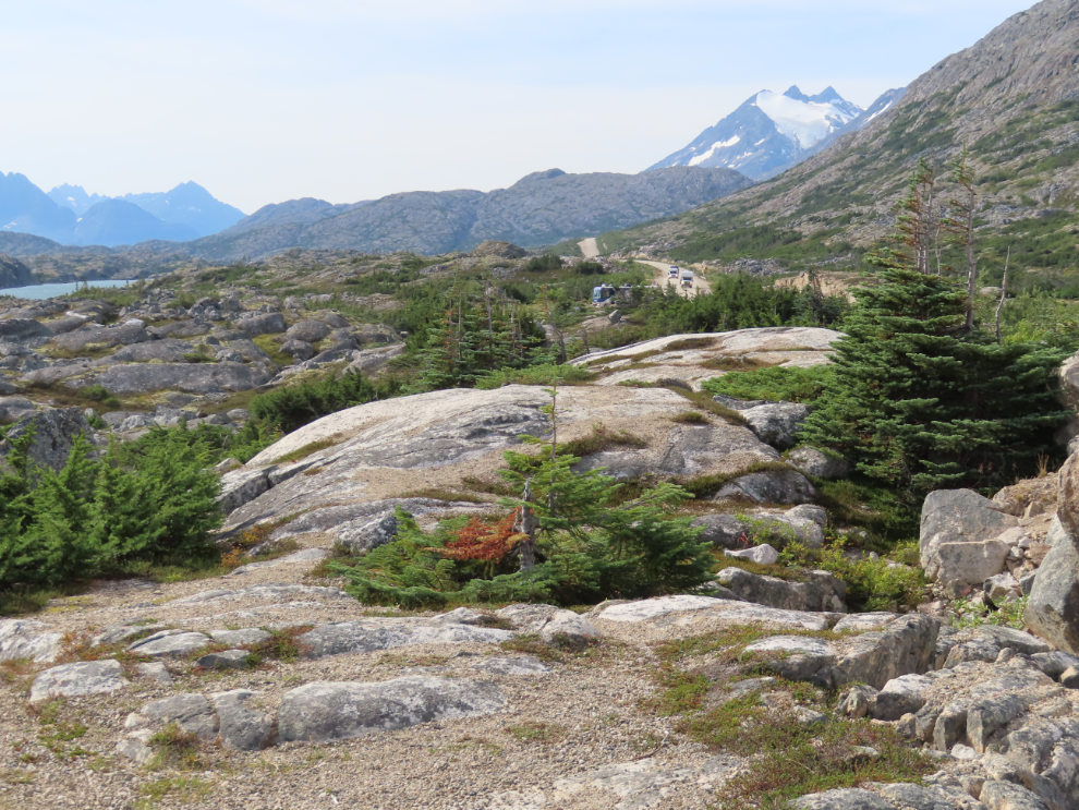
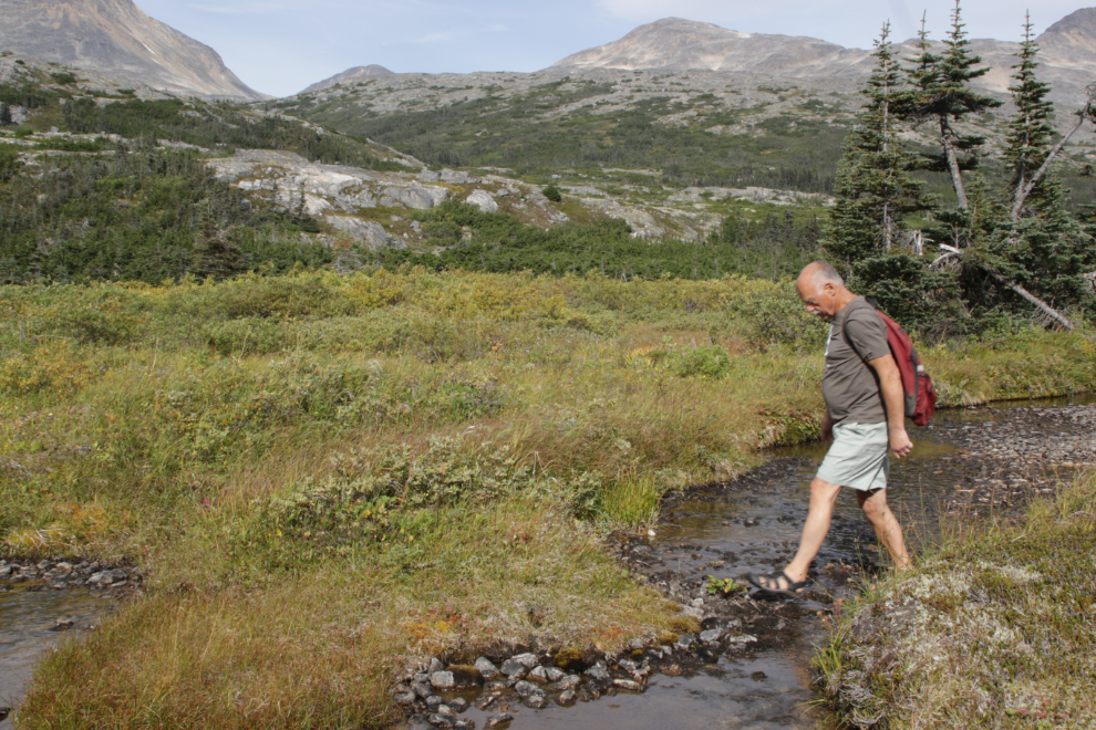
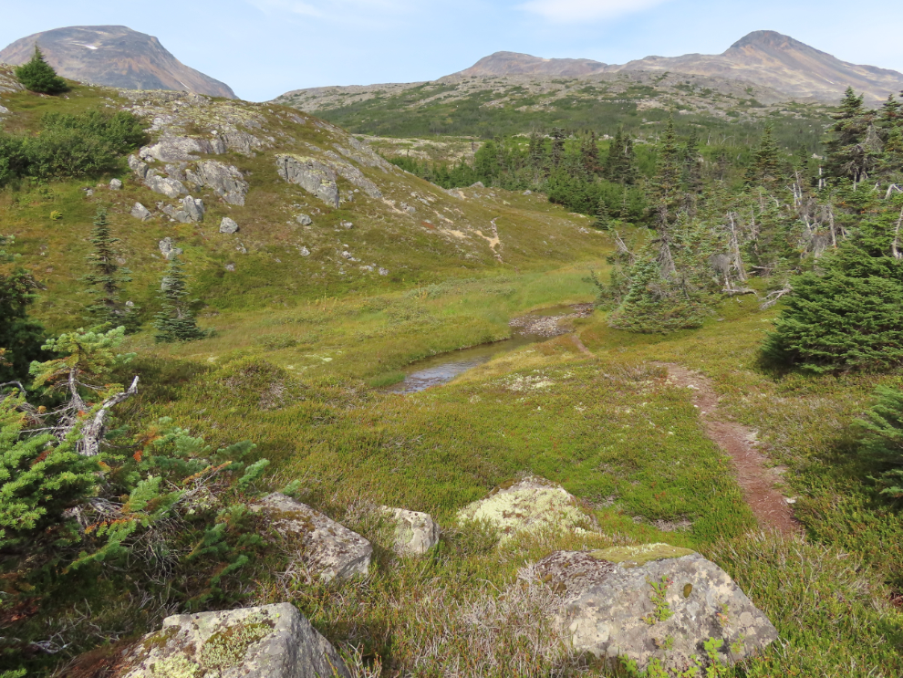
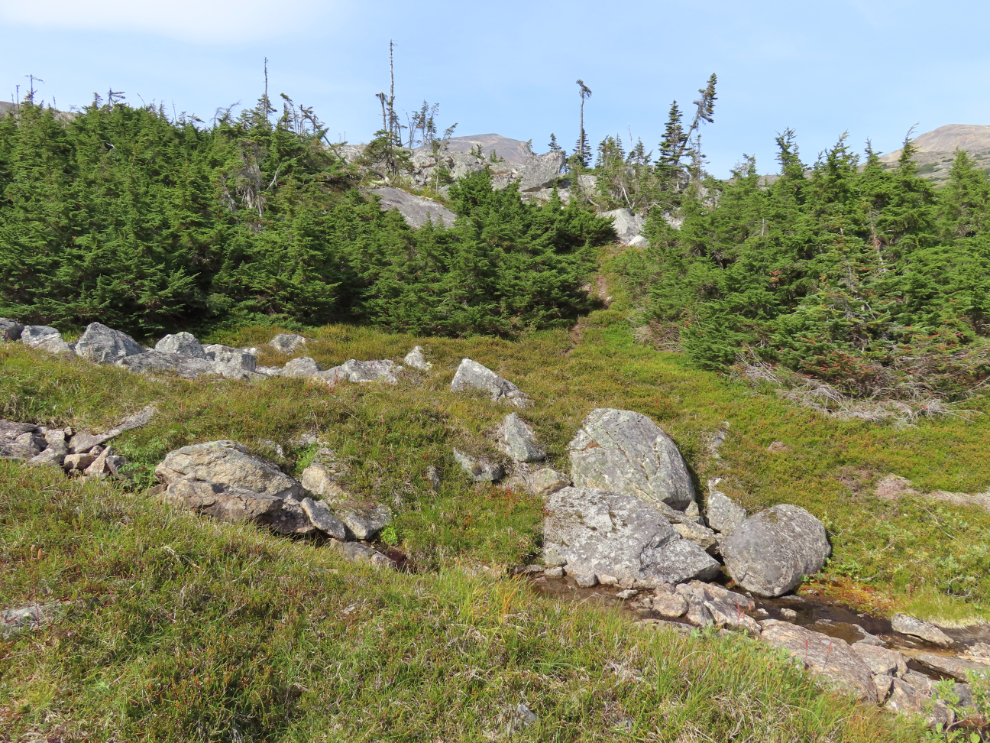
Reaching the trailhead, I was very pleased to see no vehicles. There’s a screen of bushes along the highway, then the trail becomes obvious, but that doesn’t last long. Summit Creek sees few hikers, and it’s for people with solid off-trail navigation skills – the further up the creek you go, the more true that is.
In 3-4 minutes you come to a brushy valley with small creeks to be crossed on both sides.
It might take a bit of searching to find one of the few easy places to cross the first creek.
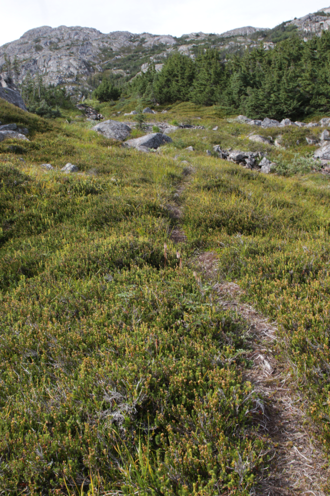
Whether you find a faint trail or none at all past that will depend on how much recent traffic there has been – these bushes fill in quite quickly after being stepped on. I found a faint trail.
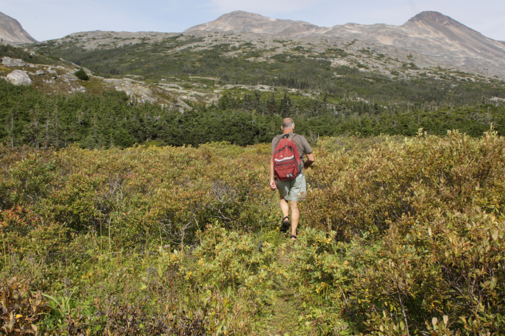
Once through the brush, the other creek used to have to be walked through (almost knee deep normally), but a path now goes around it to the left.
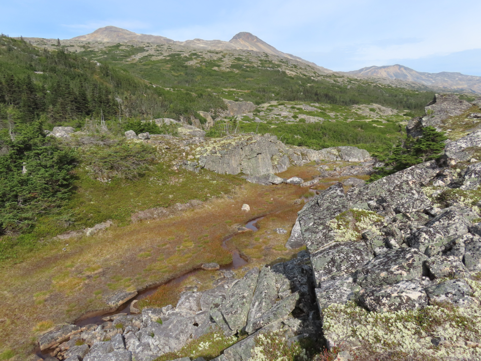
This is a very pleasant part of the trail, 25 minutes from the highway.
The terrain changes often – I’ve always really liked this little valley.
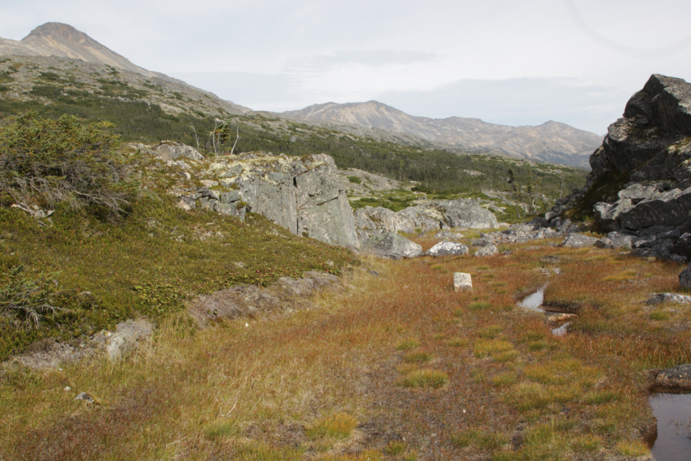
On the other side of that little valley you climb this short hill…
…then the trail drops back down and you start a gradual climb.
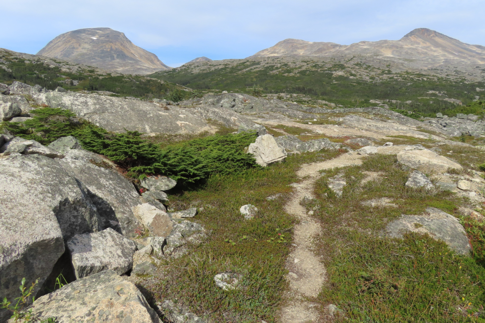
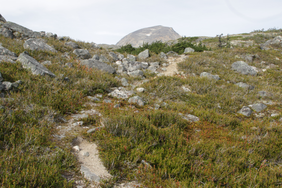
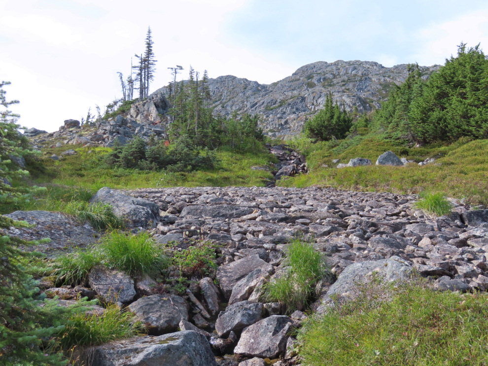
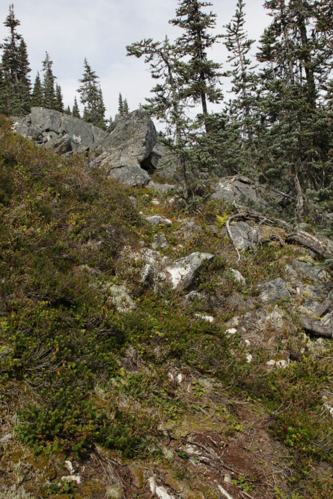
This is the last part of the fairly continuous clear trail – from there on there’s just a fragment here and there. This is 35 minutes from the highway (in my non-hurried, studying-the-world time).
When the trail above peters out, you have to look carefully to see the route. It’s above you, on the other side of the little creek you’ve been following, through that little gap in the trees.
Before going up, though, look at this fascinating bit of creek bed ahead, like carefully laid paving stones. I have no idea what natural force would do that.
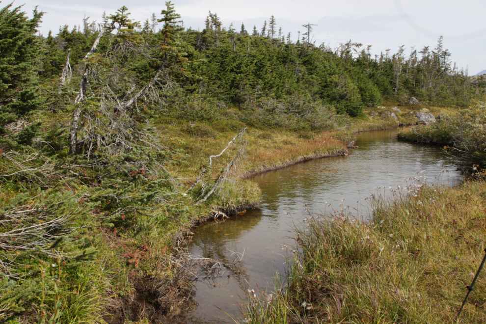
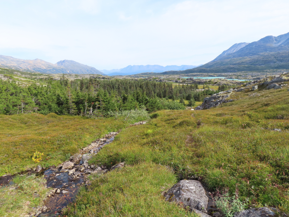
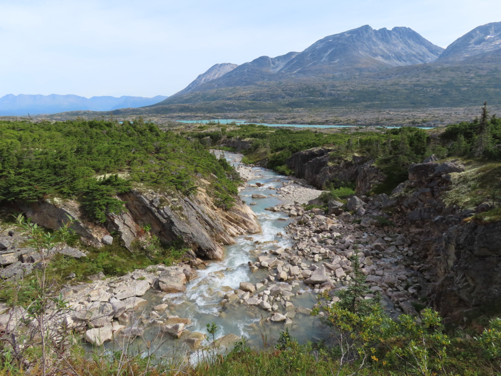
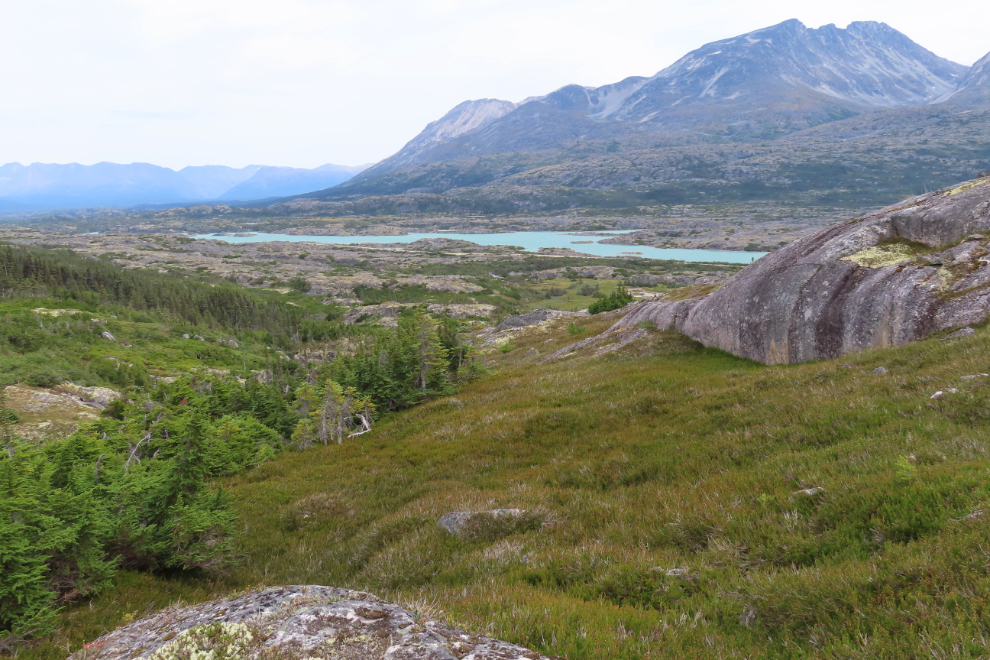
Looking back down that little creek to Summit Lake.
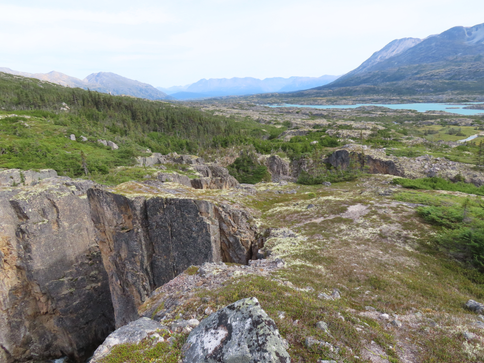
The route continues to the top of a granite knoll.
Beyond that granite knoll is this tiny valley that is often very wet. You can cross it and continue upwards…
…or you can follow it to access a particularly nice section of Summit Creek. That’s what I always do.
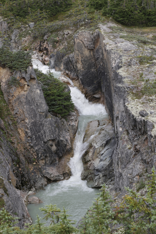
I spent quite a while here – by far my longest stop on this hike 🙂
I should shoot more video – I’d love to be able to show you what this really looked and sounded like.
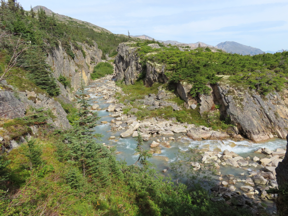
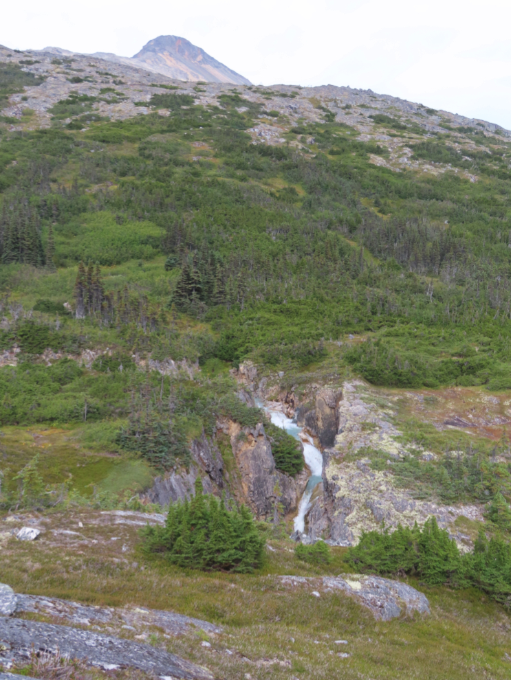
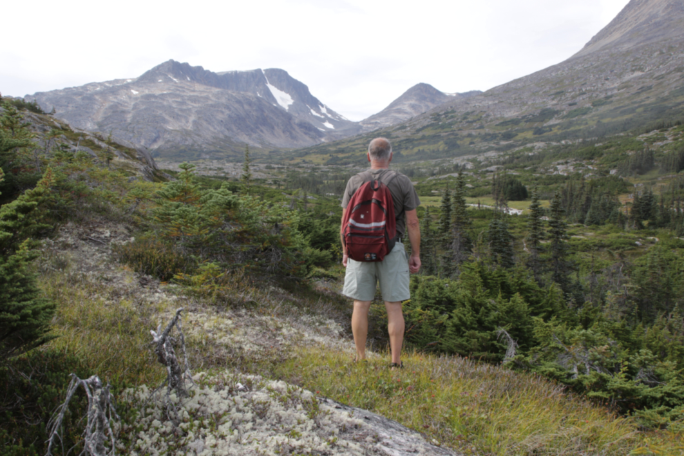
From there I retraced my steps up that tiny valley and headed up on a trail that is usually obvious, with some gaps. That takes you above the bend in the Lower Canyon section of Summit Creek, where you get great views looking both up and down the creek.
From there you climb steeply.
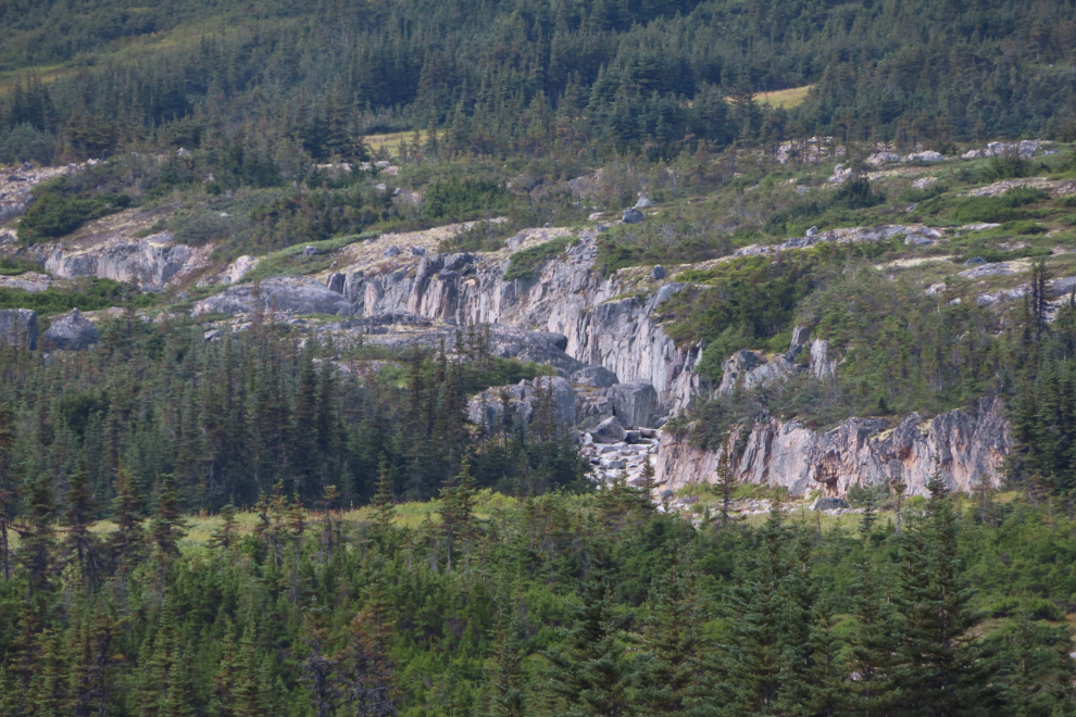
A few minutes through forest and then across a large rock slide gets you to the most impressive part of the Middle Canyon.
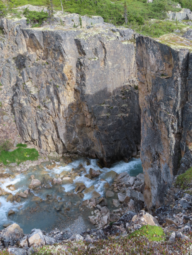
Yes, it’s a very long way down to the creek – and it’s straight down! Some of the rock actually overhangs the canyon.
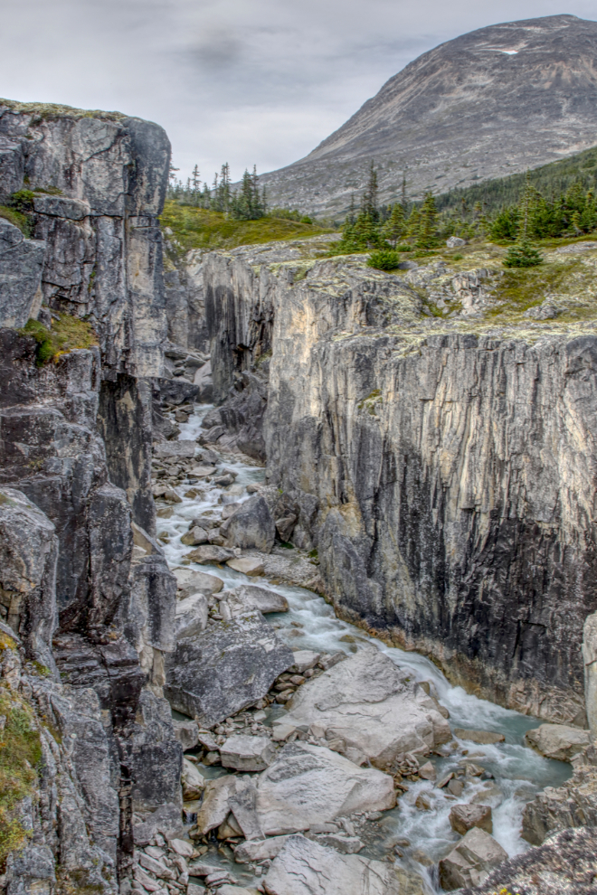
The next photo looks back down to the spot where the last photo above was shot. From the wear on the ground there, every hiker takes a photo or three there 🙂
The upper end of the Middle Canyon.
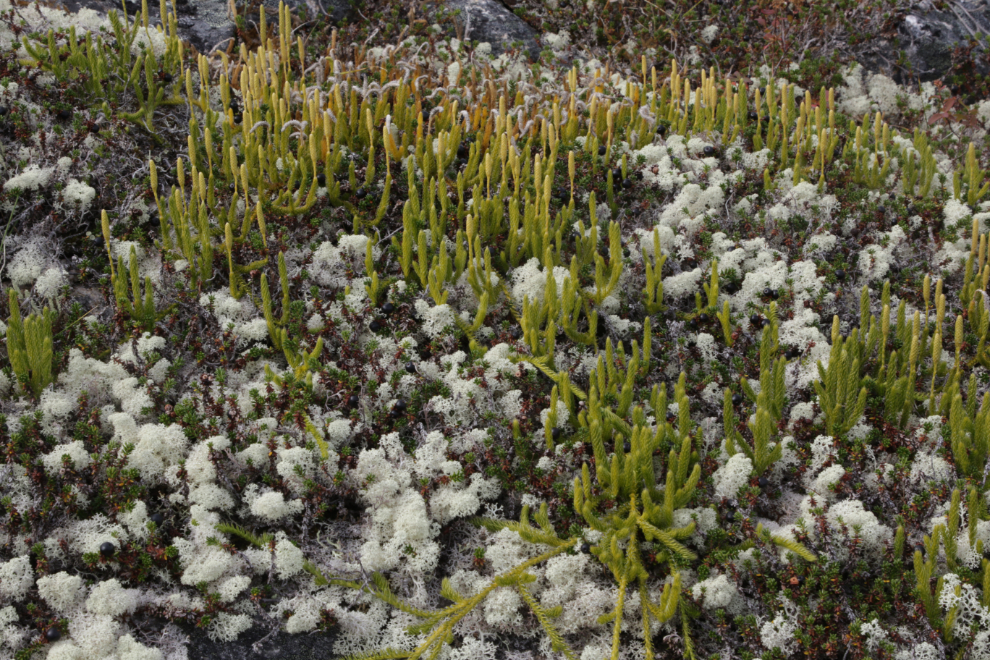
Some very healthy Stag’s horn clubmoss (Lycopodium clavatum) in a bed of Cladoniaceae (reindeer moss, I think).
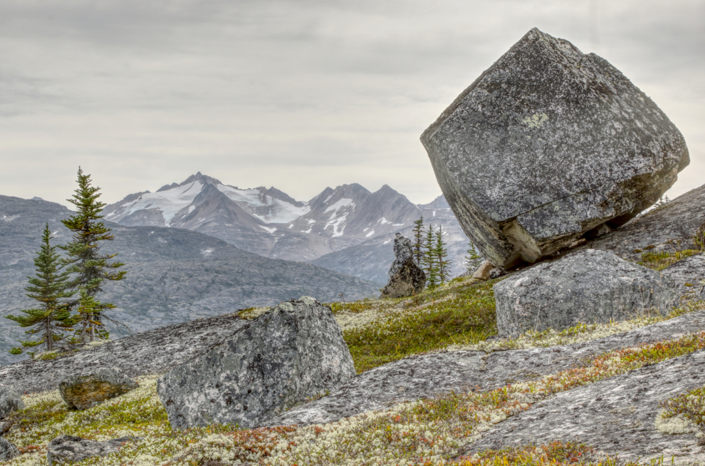
This massive cube of granite should have been shot with a human for scale – it’s about 15 feet high.
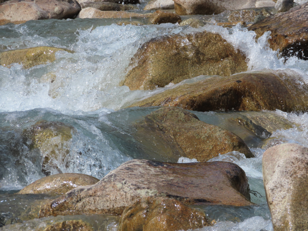
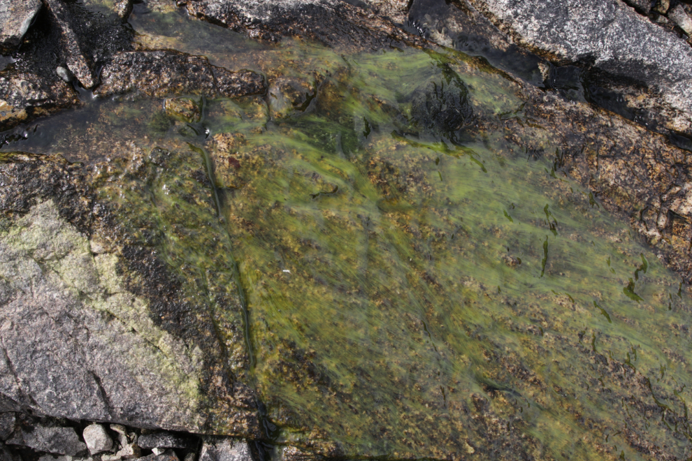
All the granite that has water flowing over it is clear except this two-foot-long section. Strange…
This is where I stopped, a couple of minutes shy of two hours after starting up from the highway. I haven’t been past this spot yet.
Although I haven’t been past that spot yet, the headwaters of Summit Creek certainly intrigue me.
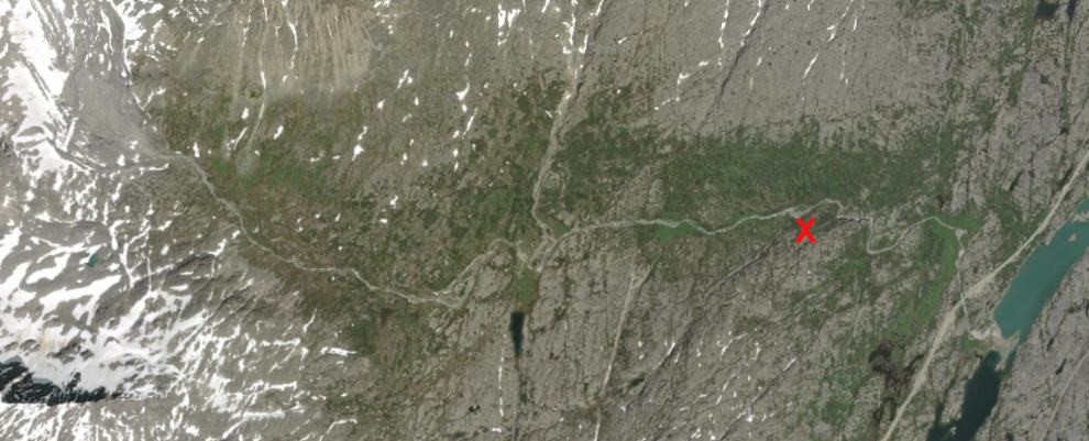
A basic look at Summit Creek might be done in two days, a good look in twice that. It flows directly west across this aerial. I quit at about the red “X”.
A distant look at the Upper Canyon of Summit Creek.
Starting back down.
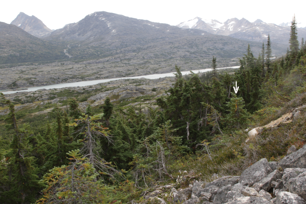
The only trail marker on the entire route is at the southeast side of the large rock slide mentioned above. That faded flagging tape is marked on the photo by a white arrow pointing down to it.
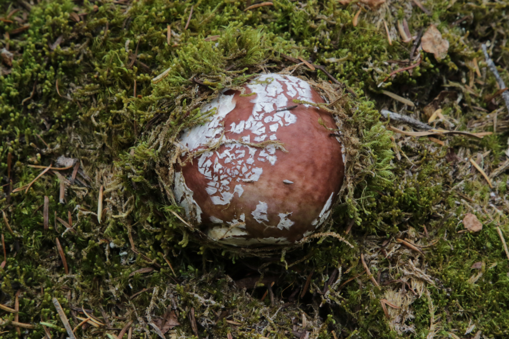
The Picture This app I use is very cautious about identifying mushrooms, but does say that this very attractive one is in the Boletaceae family.
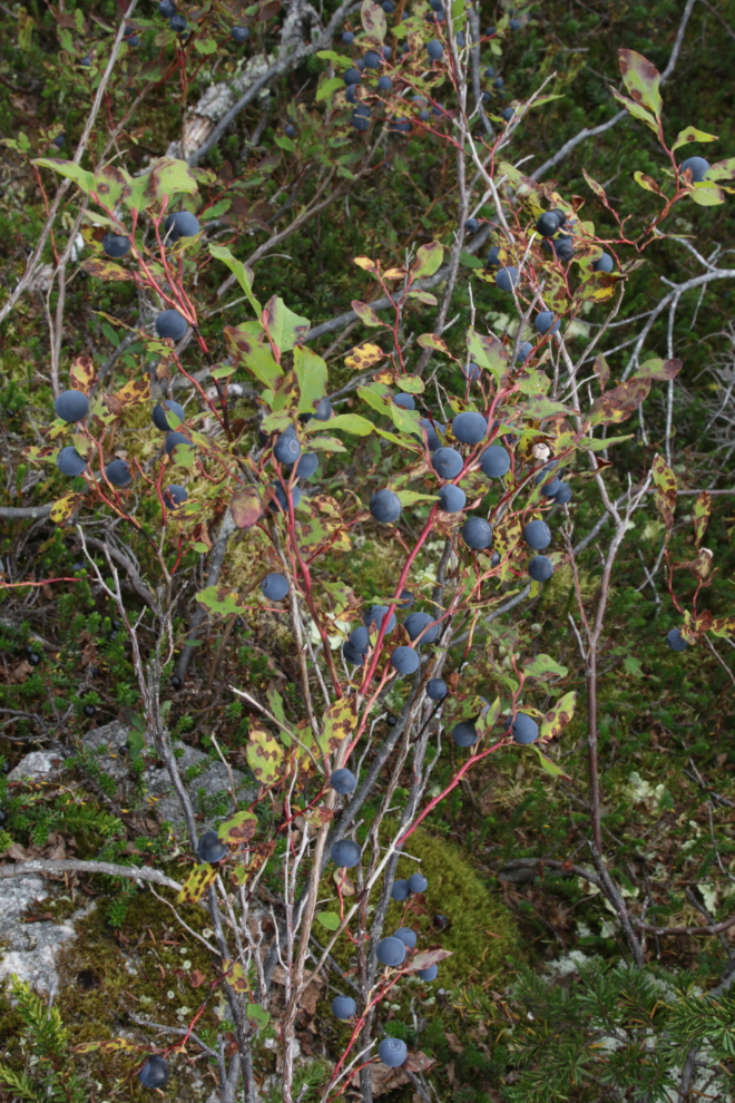
The berry crop this year – particularly blueberries – is amazing. I hadn’t brought a container, but ate my fill 🙂
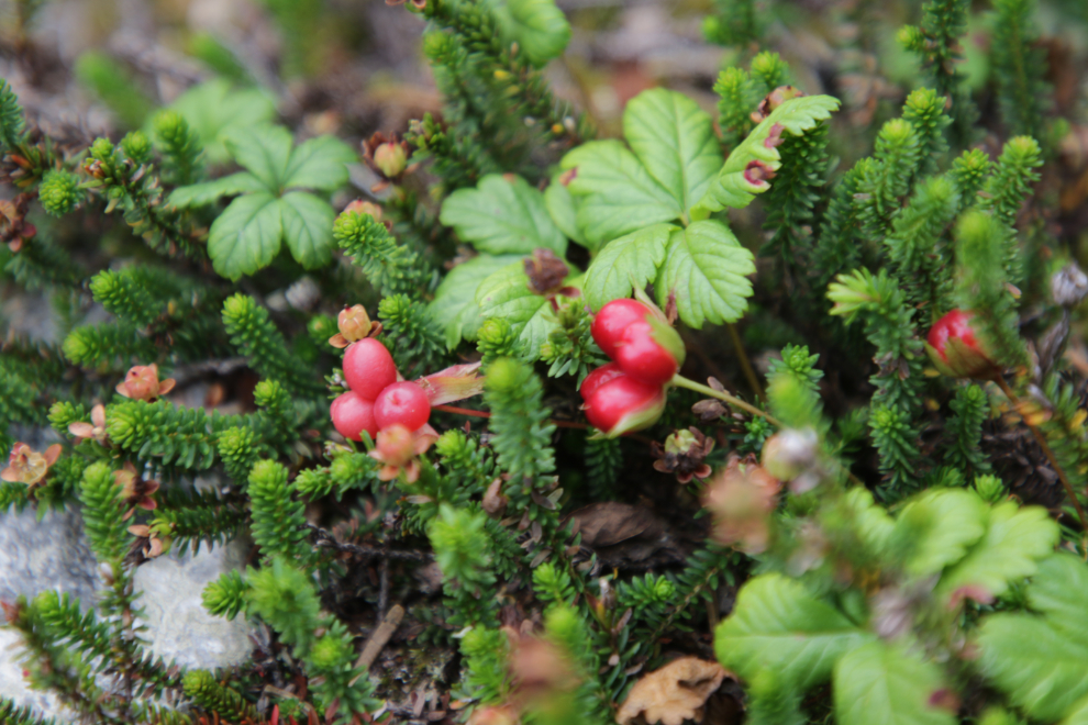
This appears to be Cloudberry (Rubus chamaemorus).
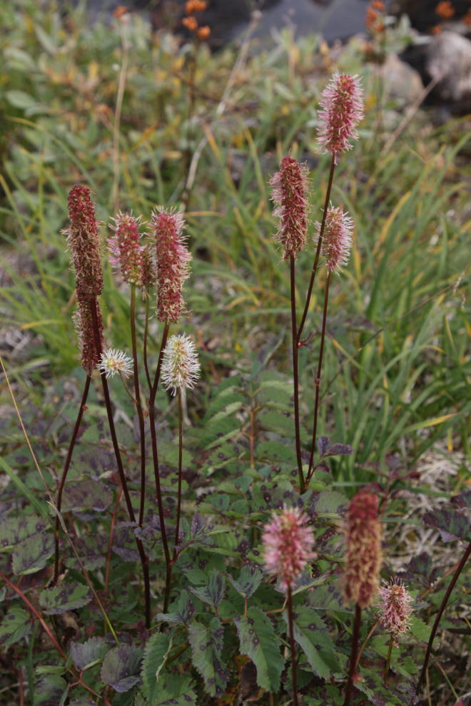
Canadian burnet (Sanguisorba canadensis).
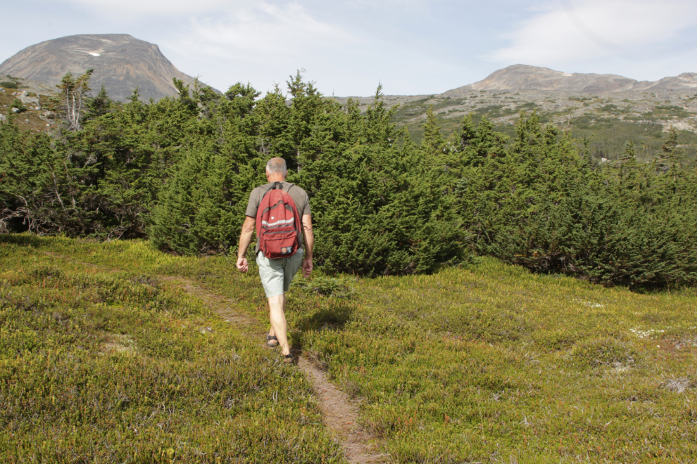
Almost back to the highway, the last few minutes on a different route that a faint trail led me to 🙂
Back at the motorhome, the rest of the day was family time, and I had no particular plan for Wednesday. Although I had been in a sheltered valley for most of the hike, the wind at our parking spot had been howling all day, and that was compounded by heavy traffic due to trucks catching up from the Labour Day weekend, and busses from a more-than-average number of cruise ships. I agreed that if it was like this the next day, we’d be going home in the morning.
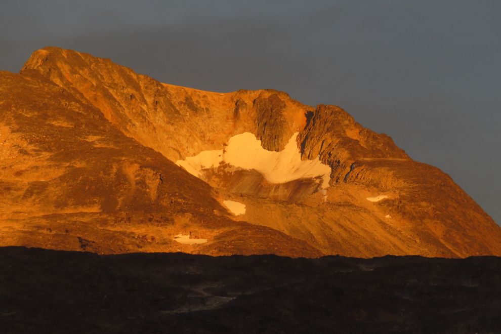
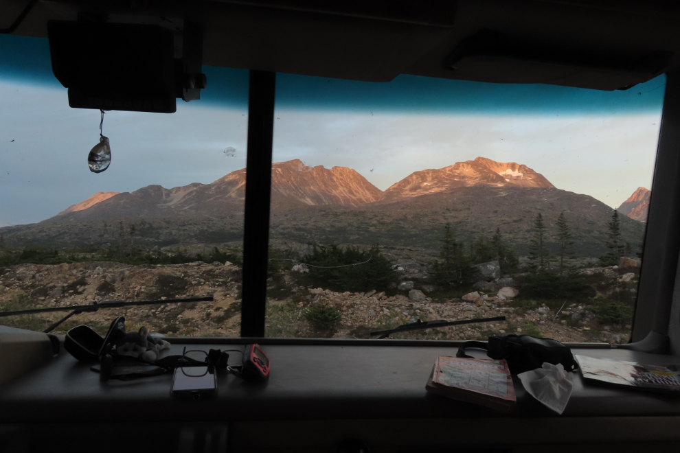
That evening, with the highway now silent, the colours of sunset provided a beautiful end to the day.
You found a mouth-watering batch of super plump blue berries! I’m glad to you tasted a few samples.
I might have tasted more than a few samples! YUUM! 😀
WOW!!!!!!
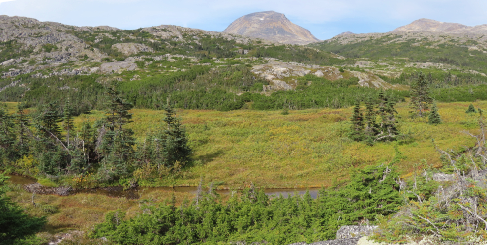
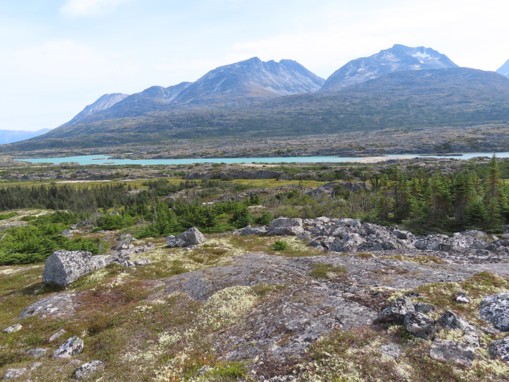
It’s incredible country.