A final visit to the historic Venus silver mill
On Wednesday (May 1st), I finally made it to what had been my planned destination, the trail to the Venus mine, a few minutes before 1 pm. Then I immediately changed my plan again – there was a vehicle there. So I drove back a few hundred meters to start a walk to the mill of the Venus mine, which I wanted to confirm as a suitable place to take a historian friend in the next few days. If I still had time and energy left after the mill inspection, I’d return to the mine trail.
This is a pretty detailed look at the mill, with 36 photos. The reason is that this was the last time I’ll go to the mill – it’s simply not safe anymore, and what is accessible is just a very basic look.
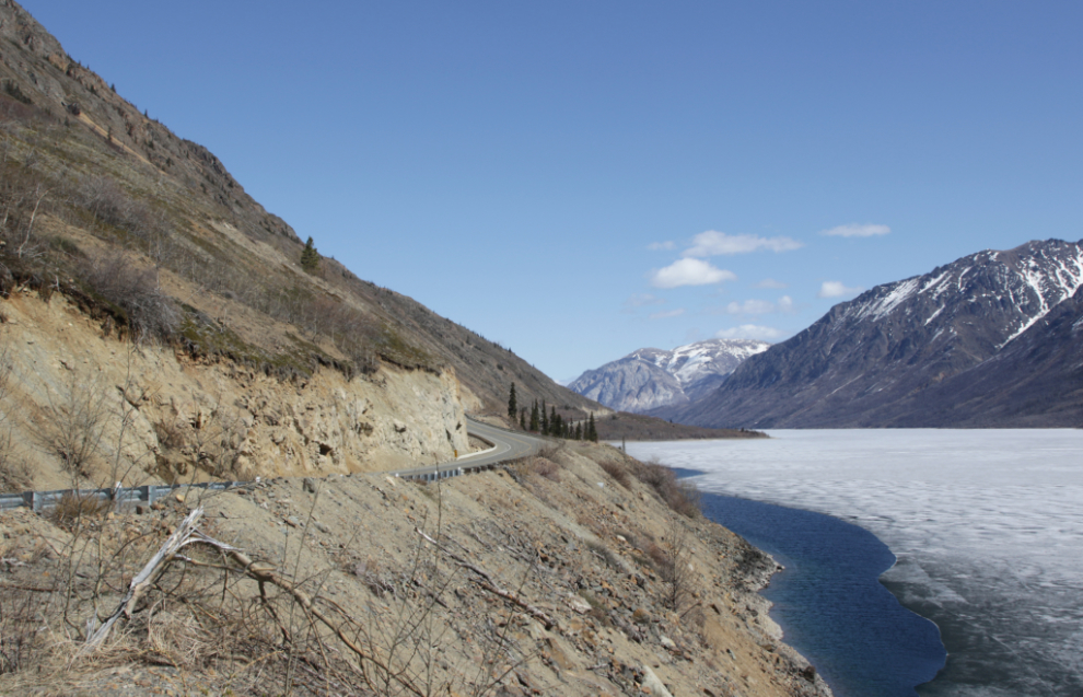
The first photo shows the view down Windy Arm from the spot where I parked. The best access to the mill is to go down to the beach just this side of that grove of trees. There’s no easy way to the mill, but this is the safest.
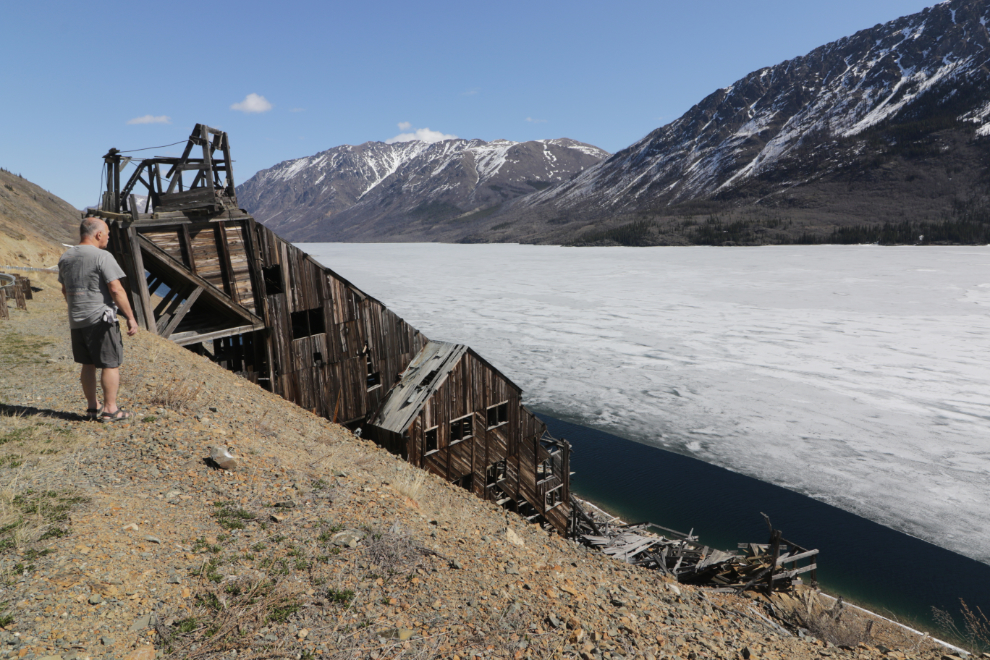
The view of the mill from the highway, shot with my 10-18mm lens at 13mm. There used to be parking here but that was blocked many years ago, to not encourage people to get themselves into a dangerous place (the mill).
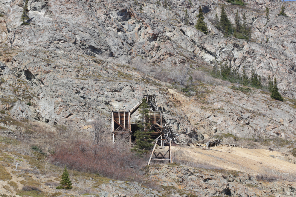
A look straight up the slope to the upper adit of the Venus mine. An aerial tramway connected it to the mill.
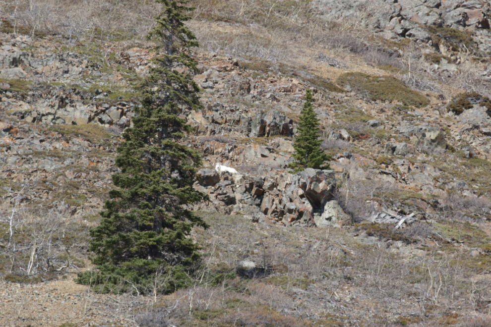
I spotted a mountain goat just to the left of and below that mine, and expanding my view, saw a total of 15 goats. I was very pleased to see this population doing so well 🙂 This photo was shot at 400mm.
Still looking up with the telephoto, that building was the compressor house for the Venus mine in the 1970s.
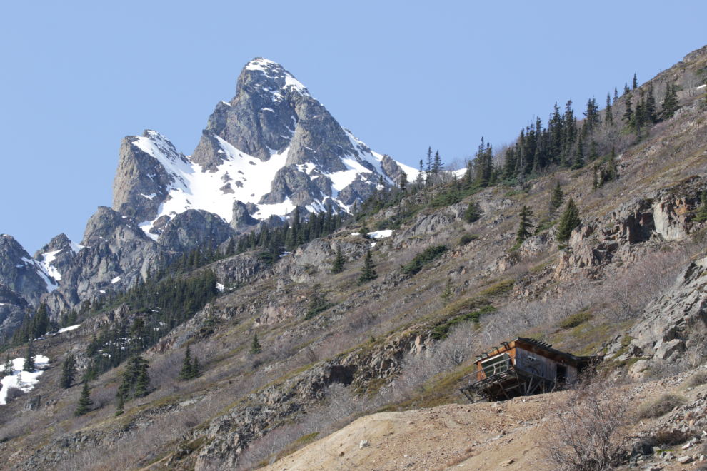
I had remembered to bring Nanook with me, for the first time in a long time 🙂
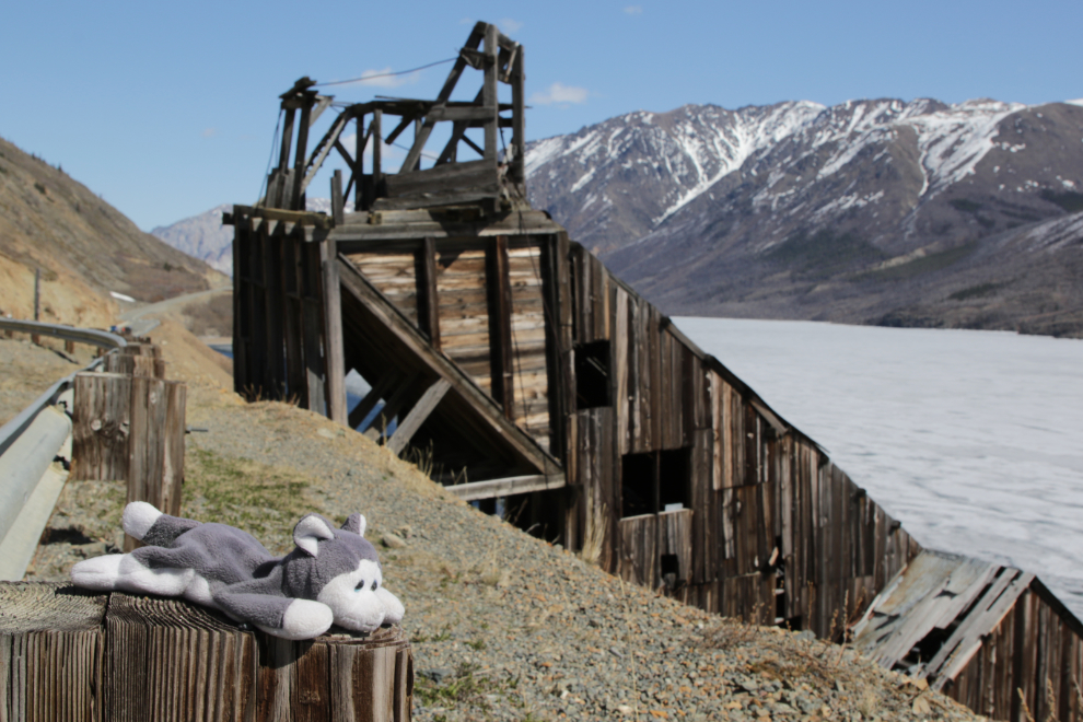
Patterns in the ice right below. A fairly strong wind blowing across many miles of ice was keeping the temperature much lower than I had expected.

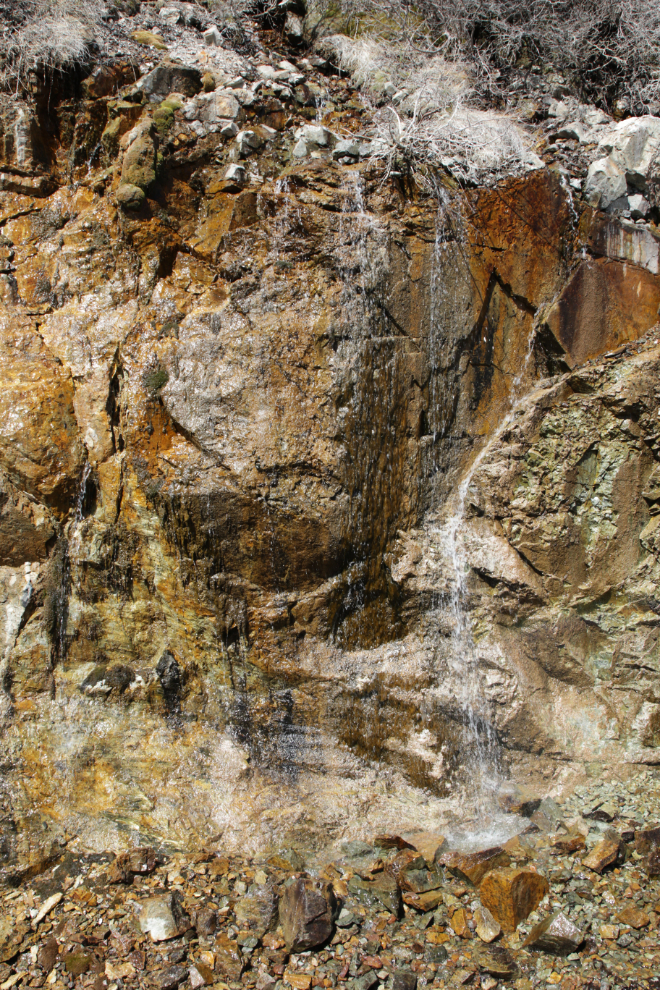
I walked across the highway to get a few photos of some little waterfalls.
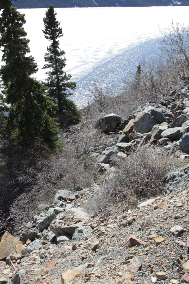
I had given up getting down to the mill and was walking back to the car, but then spotted a possible route down. I thought about it for a bit, then started slowly down.
I made it to the beach. Walking towards the mill, I spotted a good example of slickensides, which is a polished surface where the two sides of a fault have moved across each other. The faulting here caused big problems for miners, as these faults can snap drill bits that hit them at an angle. That’s where the name from my book about these mines came from – “Fractured Veins & Broken Dreams.”

My favourite view of the mill.
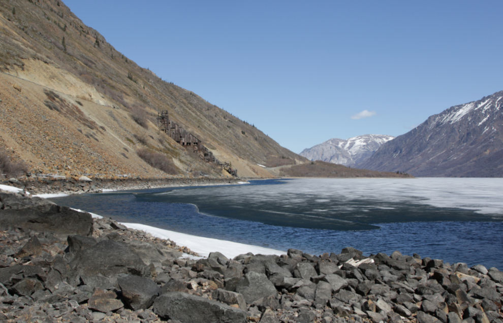
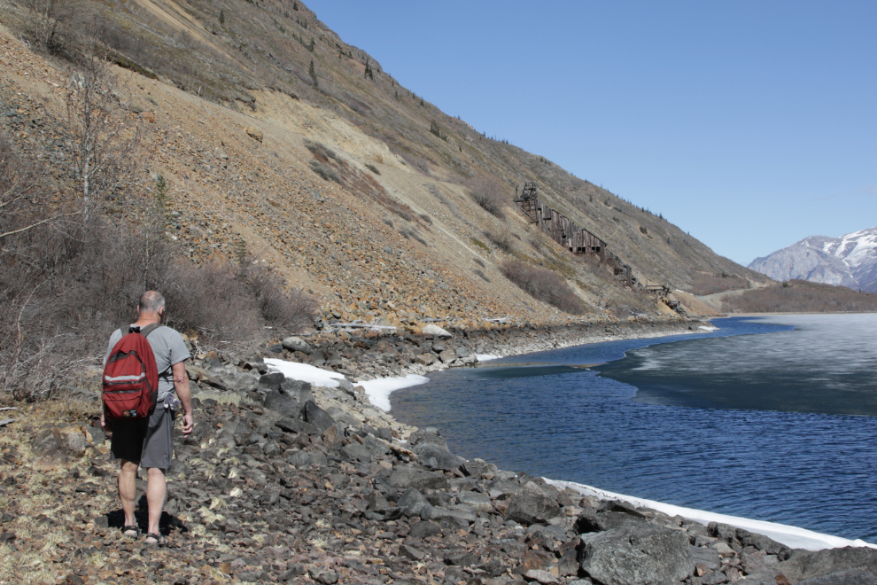
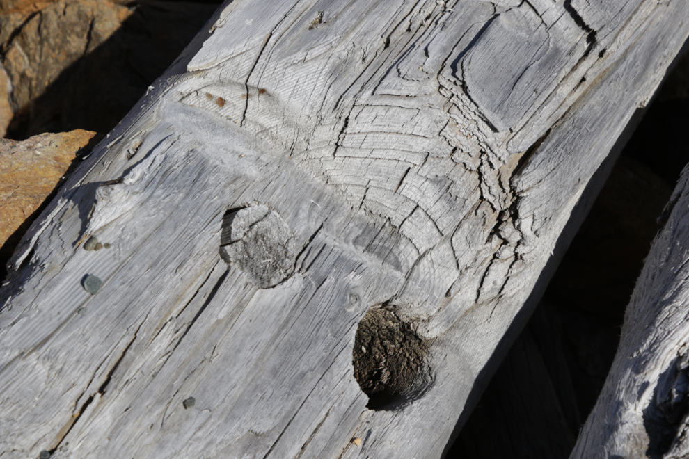
There used to be a log warehouse and dock on the beach, but they were washed away by exceptionally high water in 2007, and a very nice mine manager’s house perched on the slope just south of the mill collapsed the following year. This pinned beam is probably from the warehouse.
The lumber to the left is all that’s left of the mine manager’s house.
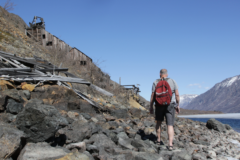
The approach from the south provides some impressive views, and the light was perfect to get the record I wanted.
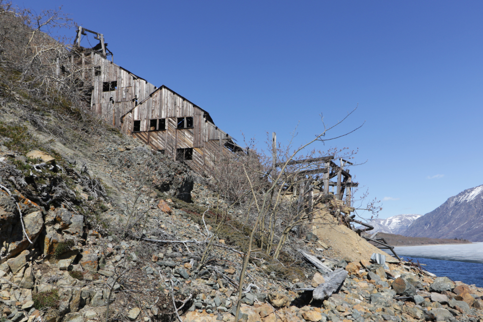
Mother Nature adds a few gentle touches to the industrial chaos.
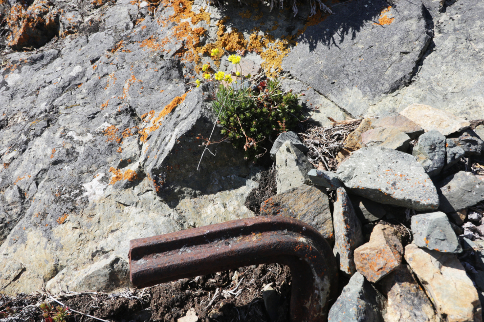
At about this point I could see that there was far more damage than I had expected.
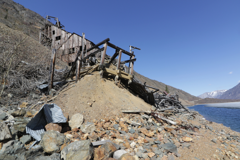
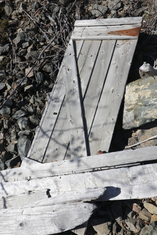
A door that appears to be from a shed, possibly behind the mine manager’s house.
[ insert sad-face emoji ]
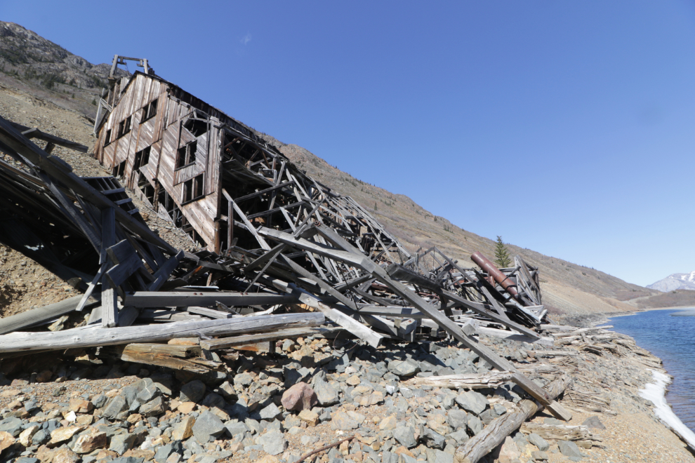
There was simply no safe access into what was left of the bottom of the mill, even if there had been a point.
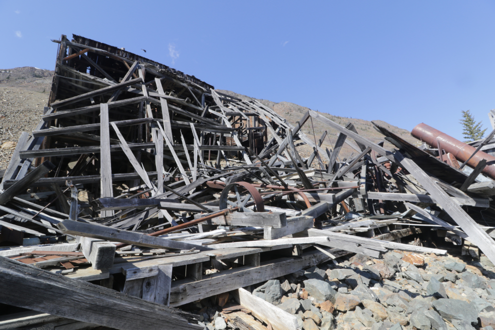
This intriguing artifact is from a later attempt to improve the mill’s efficiency. Several major changes were made in the processing from the time the mill was built in 1908 until about 1917, and the old equipment was usually left in place so for a historian, figuring out the flow of it became very difficult.
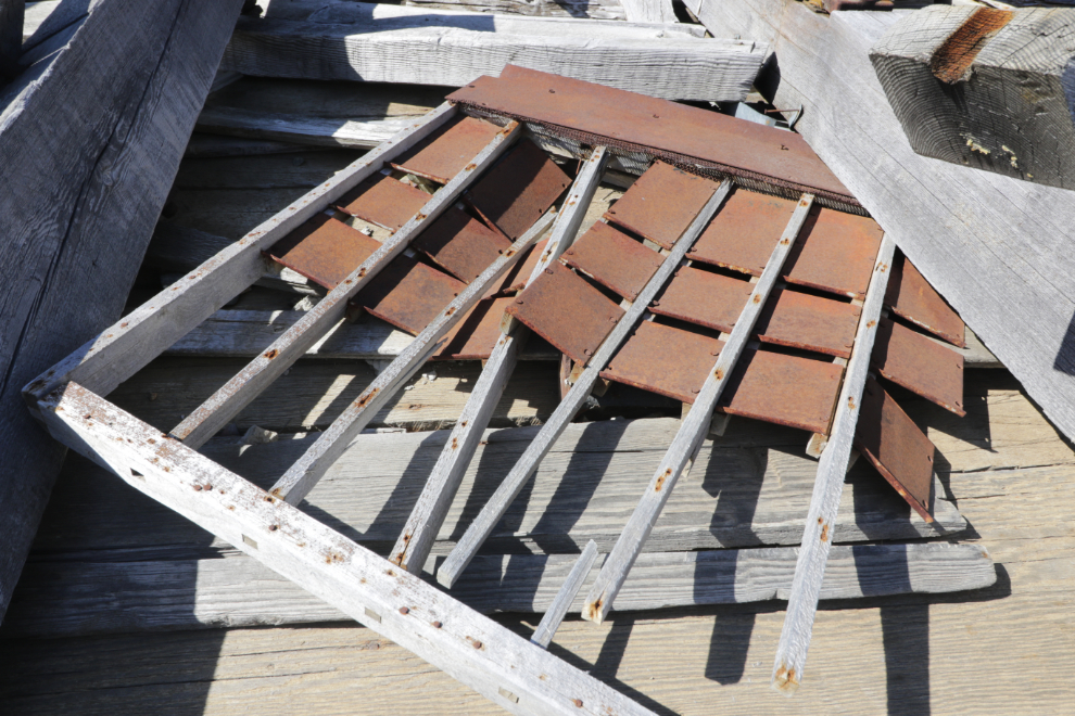
It had such potential 25 years ago…
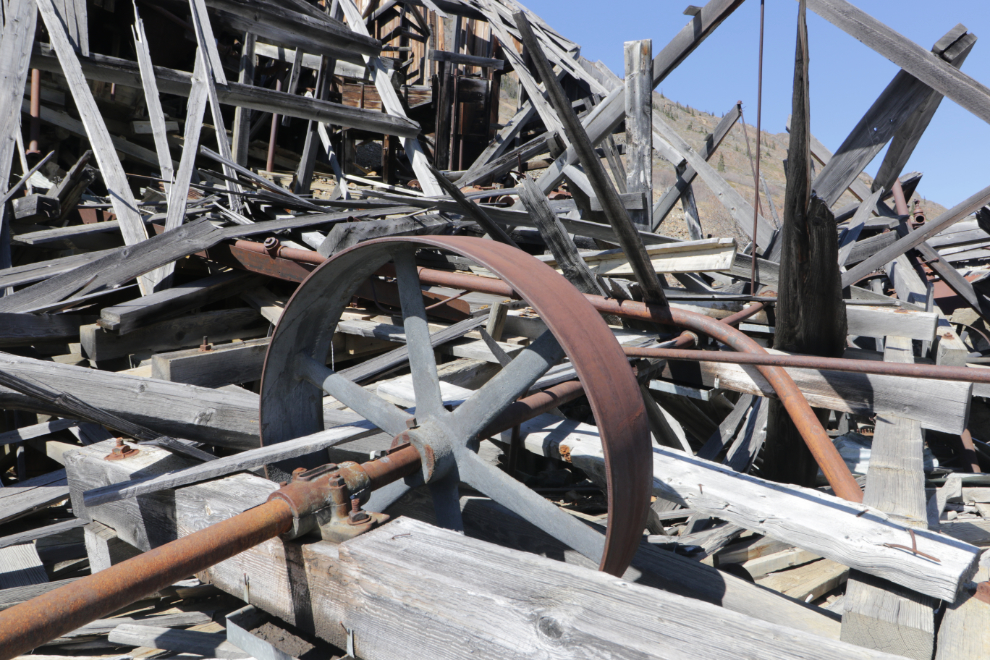
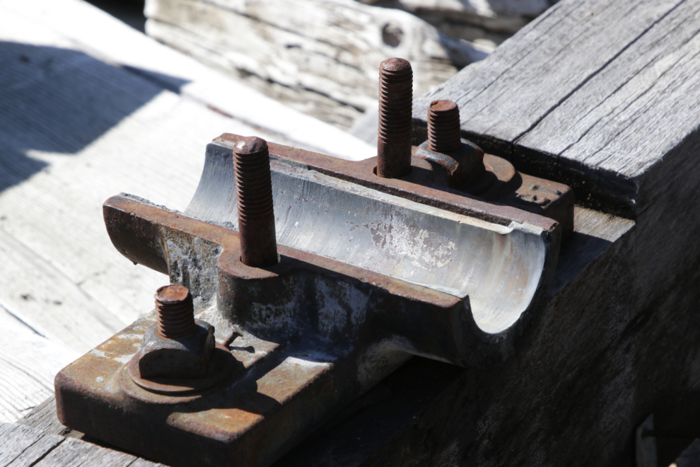
There are still some babbitt bearings in place. Their use had ended by about 1940, but poured babbitt bearings were made with fairly soft, malleable alloys of tin or lead that could absorb shock and vibration, and so were ideal for use in applications with high stress levels such as this mill.
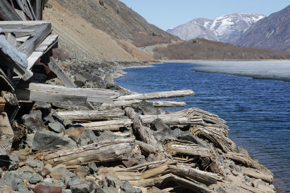
There’s not much left of the dock where the sternwheeler Gleaner would place a barge to bring equipment in and ore out.
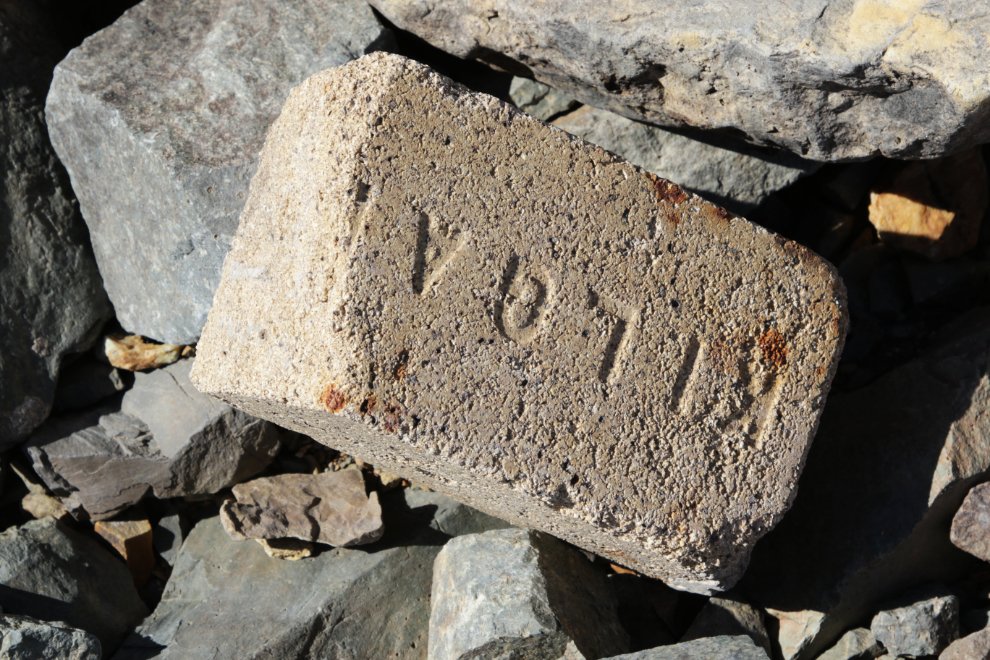
A fire brick made by the Kilgard Fire Brick Company, which was located between Abbotsford and Chilliwack, BC. Kilgard was formed in 1910, so this isn’t a brick from the original (1908) installation of the boiler.
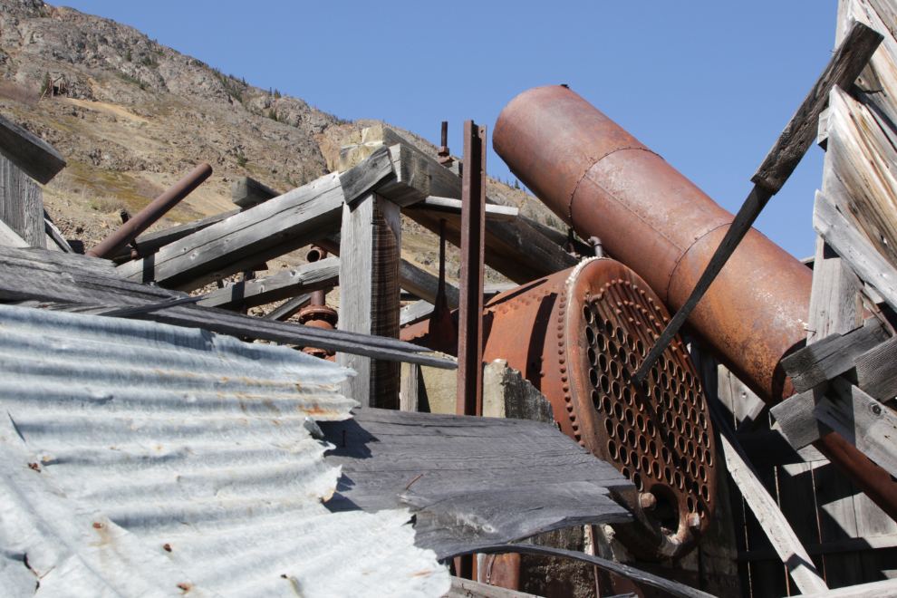
I can’t even describe how bad this made me feel after coming here for over 30 years and devoting countless hours into documenting it. It really was heartbreaking. The upper adit that I was going to hike to can be seen at the upper left of this photo.
The north side has always offered the best places to access and photograph the mill, and this day it gave a good look at how severe the collapsing is.
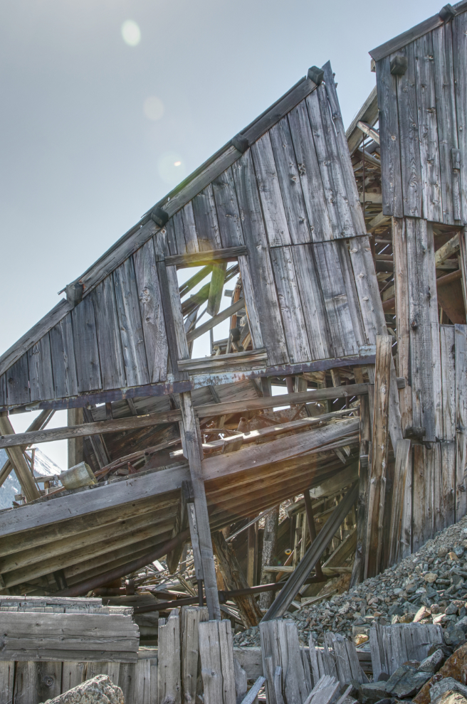
The upper 2/3 of the north facade.
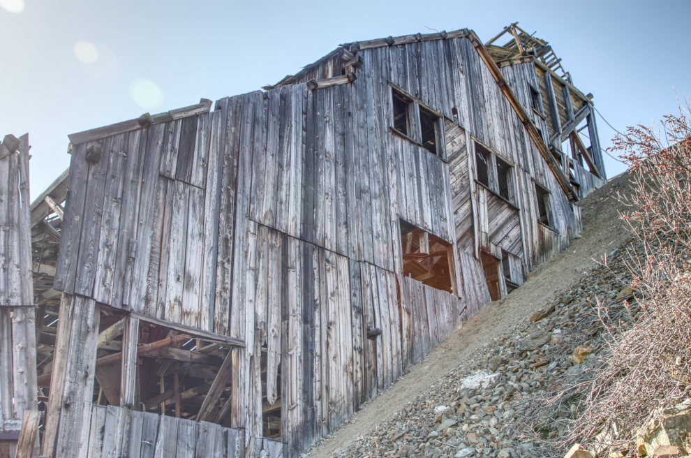
Two photos looking back down to the boiler and chimney.
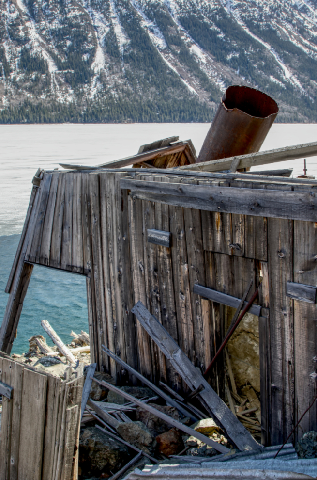
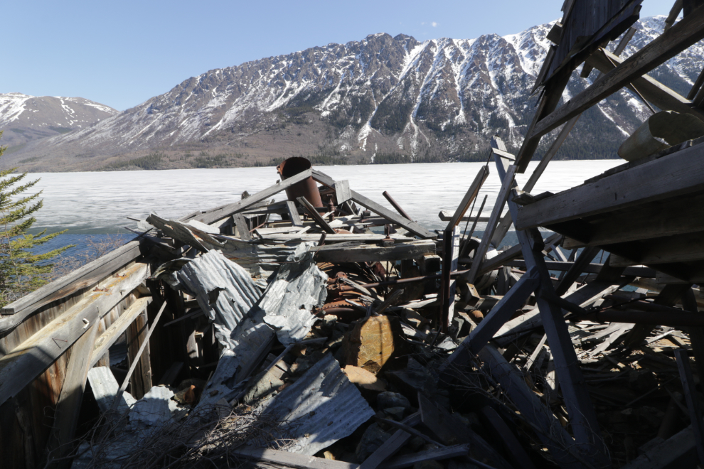
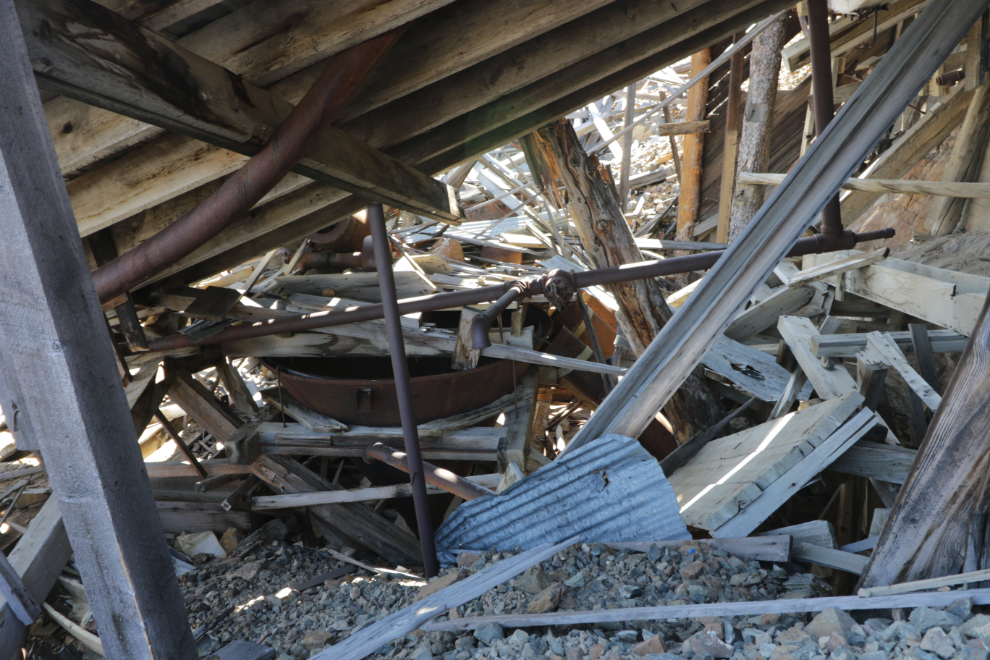
I’ve walked around and had a good look at this area, the lower part of concentration process.
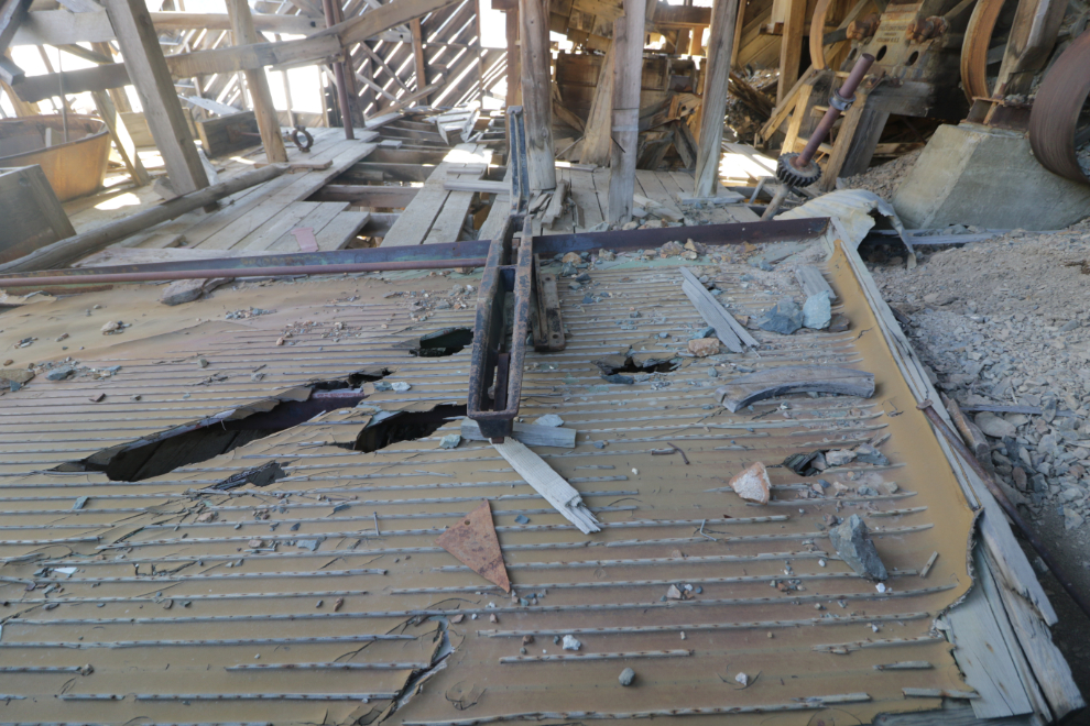
This large tray was for sorting the “fines” toward the end of the milling.
There’s not really much to say about the final 4 photos shot as I worked my way up to the highway along the north side. I considered the possibility that I’ve just lost my nerve, but I’ve been through a lot of old mines and I’m sure I never would have gone into a structure like this.
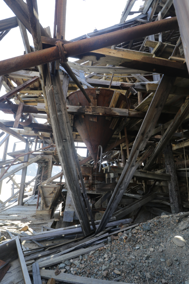
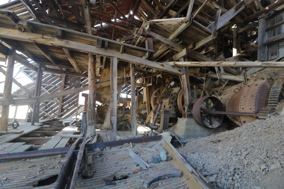
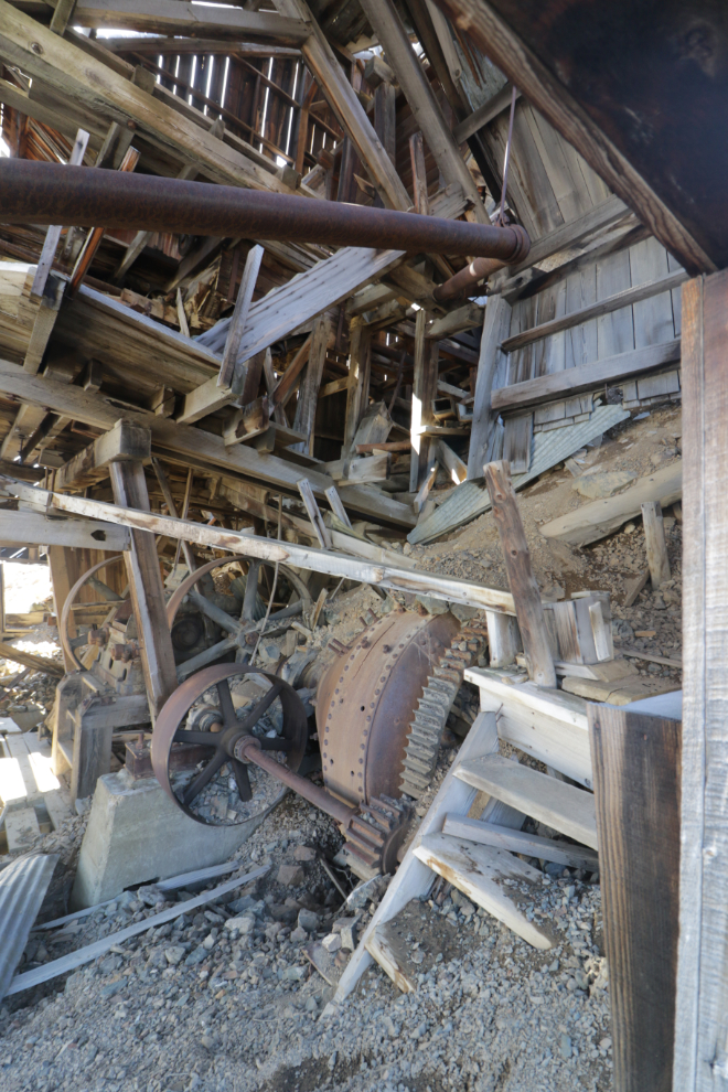
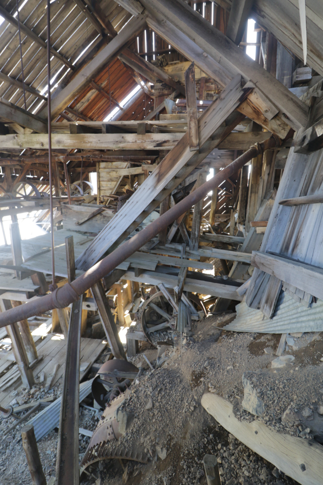
There’s an odd sort of closure to writing this post – the mill is now off my list of places to return to. I’ll be back down there in the next week or so, but that will be to do the hike UP as I had planned when that day began 🙂
How long had it been since you explored down there (prior to your sitz fall?) … it is a shame to see it all go bad, but many years in the making…and a few of those photos truly look like one beam could go and bring down the rest of it. Glad you took the wiser choice there. Shorts and sandals, clearly you were optimistic about the temps (thinking about the steady wind coming off all that ice(, but a very pretty looking day and you got to see it again before further collapsing.
My last good look at it was in 2015. In that blog post I said “I told myself that this would be my last time – that I’ve taken all the photos of the interior that I need.” Well, maybe one more visit 🙂
Thanks for this post. I remember driving by that mine and stopping to look at it. I wanted to go down there so badly but was on a cruise and didn’t want to get injured and it looked pretty rough so I decided it wasn’t worth the risk. At least I got to see it from your perspective but photos are never as good as being there in person. 🙂 Seems like I pulled over pretty close to the mine but it could have been a quick illegal stop. I normally don’t do that but that doesn’t mean I never do it. 🙂
I’m glad you got at least a brief look at it, Neal.
As with so many historic buildings that collapse over time, you have the satisfaction of having documented and researched it in detail years ago. Thanks for taking the time for a final visit to the mill to photograph what’s left today that will be gone completely in a few years.
Yes, Abe, it is satisfying to be able to do that. It’s almost 30 years ago now (1997, I think) that I photographed every historic site and artifact on Montana Mountain with black-and-white film, them donated the 300+ negatives to the Yukon Archives.