A Fall day in Carmacks, Yukon
Last Friday I took advantage of a mostly-sunny day to ride the motorcycle down to Carmacks, on the Yukon River and the North Klondike Highway.
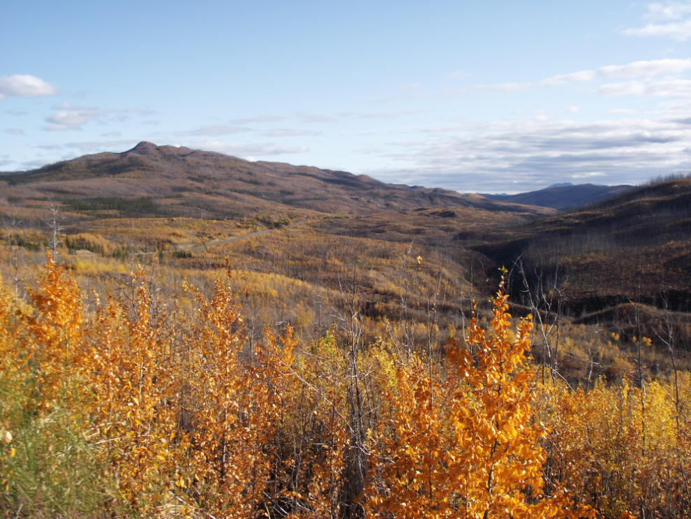
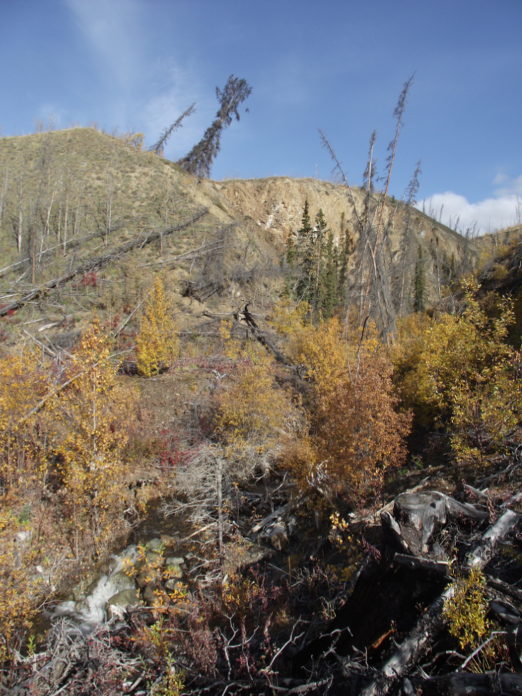
This hasn’t been a great year for Fall colours, but it’s not too bad, and I’ve gotten a few photos. I found this little canyon just past the end of a short side road at Km 256 (the mileposts measure from Skagway, Alaska – this is about 75 km north of Whitehorse).
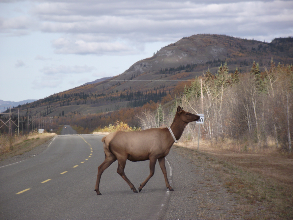
Just past a very large elk warning sign, there were the promised elk on the highway! One youngster was trying to convince his mother that they should stop for a snack before getting further from the highway (I didn’t get any good photos of that, through).
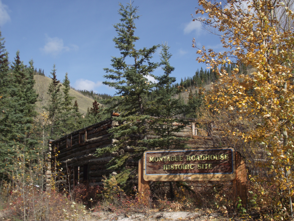
I always stop at the Montague Roadhouse, one of the very few of these structures left.
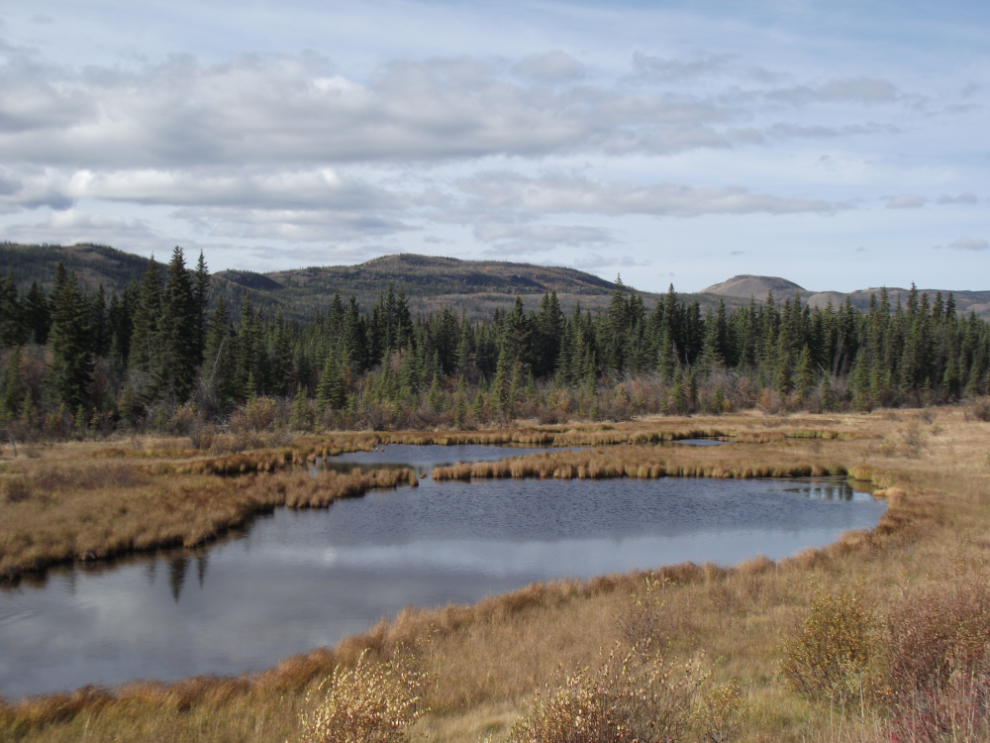
A pond with a few ducks on it, at Km 336.
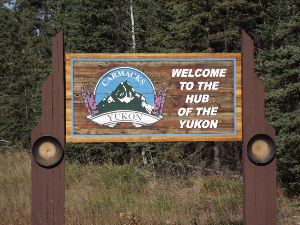
Welcome to Carmacks, Yukon.
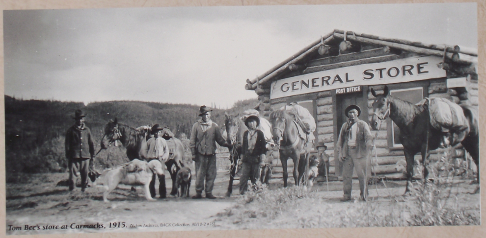
A look at Carmacks over a century ago.
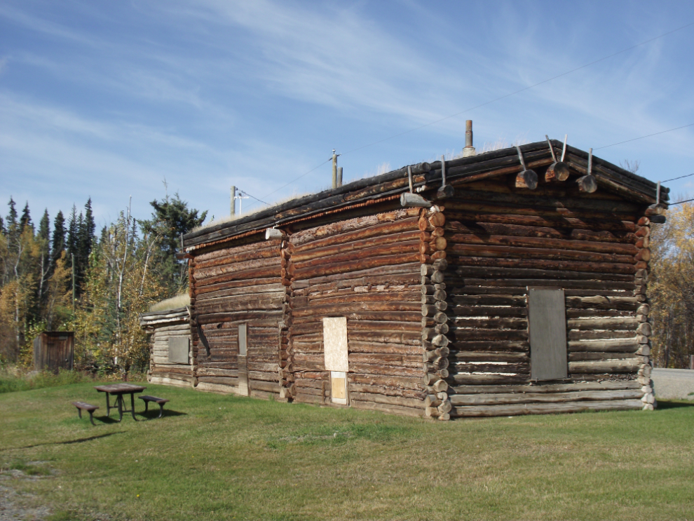
The Carmacks Roadhouse.
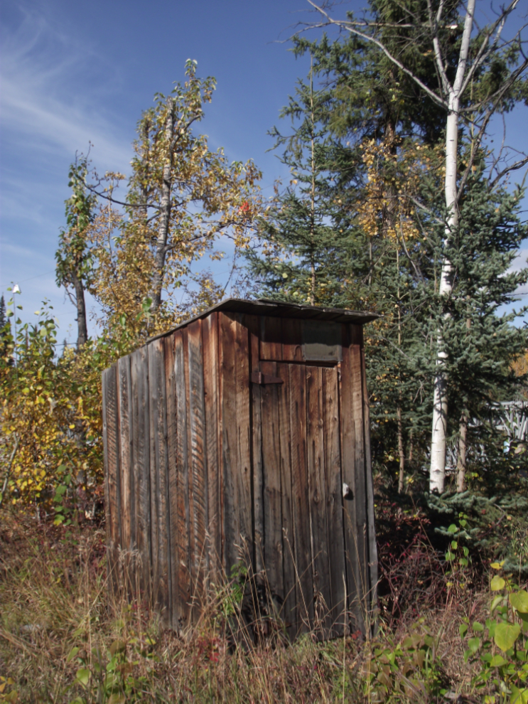
The outhouse at the Carmacks Roadhouse.
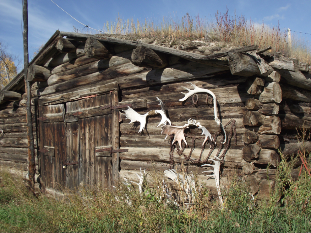
Across the street from the roadhouse is this stable from the days when the White Pass & Yukon Route ran sleighs, wagons and stages from Whitehorse to Dawson City. Although this front wall looks great, much of the building’s roof has collapsed.
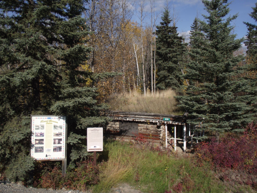
The historic Hazel Brown cabin is across the Nordenskiold River from the roadhouse.
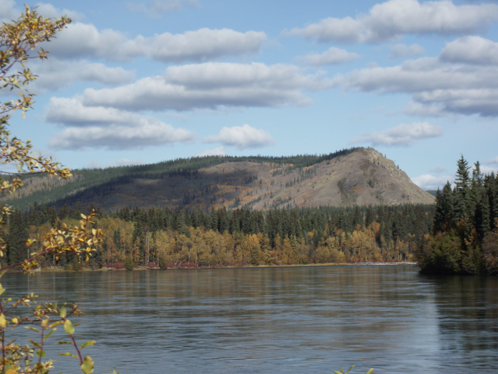
Looking across the Nordenskiold River towards Carmacks.

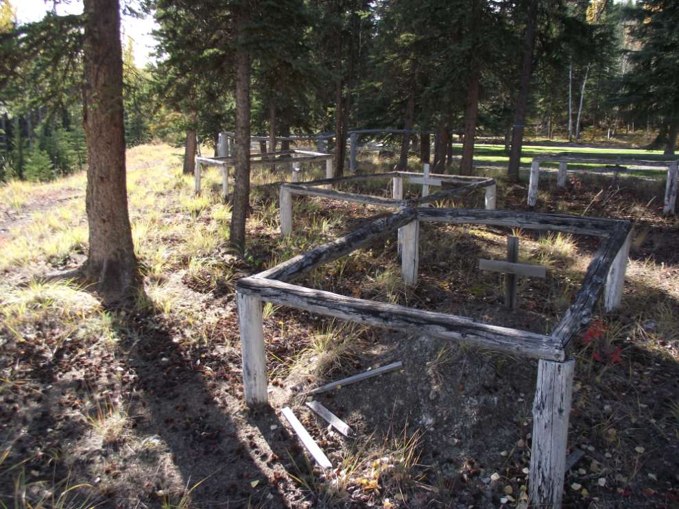
The oldest section of the Nordenskiold Cemetery, located on a bench above the Nordenskiold River and the Carmacks Roadhouse.
There’s a 1.5 kilometer long boardwalk along the Yukon River that offers a wonderful walk.
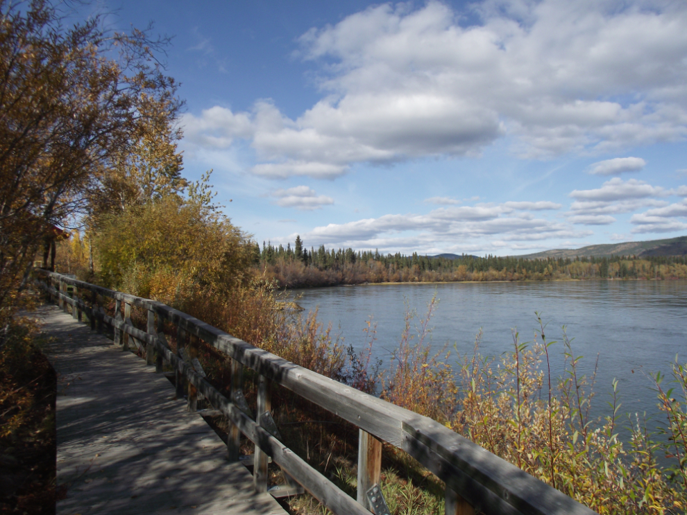
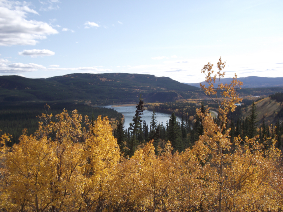
Looking up the Yukon River, with Tantalus Butte in the background.
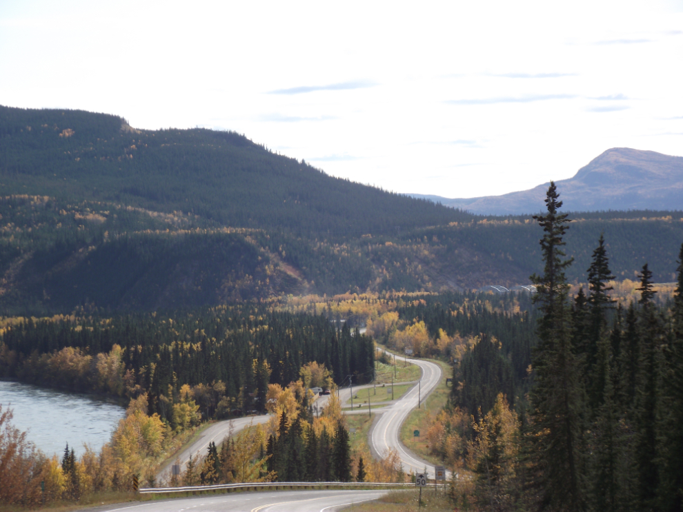
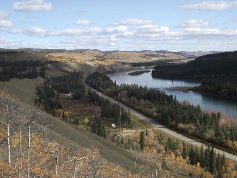
Looking down the North Klondike Highway and the twisting Yukon River towards Carmacks.
The Tantalus Coal Mine – that link takes you to a brief history of the mine that I wrote in 2003.
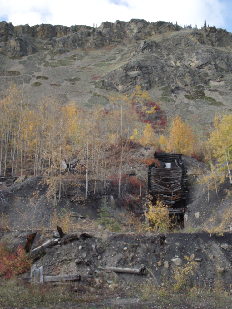
The Tantalus Coal Mine – that link takes you to a brief history of the mine that I wrote in 2003.
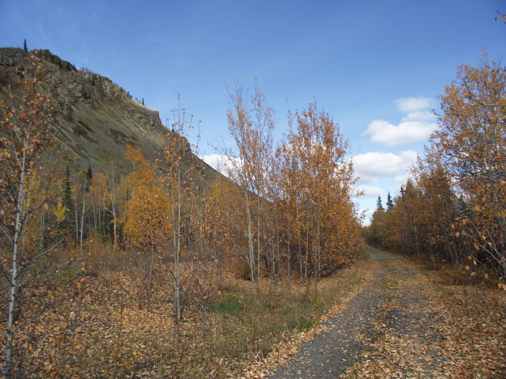
Another view down the Yukon River from one of the trails leading to higher-elevation workings at the mine.
On the way home, looking south down the highway from the summit at Km 270, just north of the Fox Lakes.