A deeper look at Ajo, Arizona
Ajo was a surprise to me. I had never heard of it, and it didn’t look like much from a quick search while I was planning this trip. But I wish I had had 3 days to explore, because it’s got a fascinating history and the surrounding country has some beautiful spots. This post has 18 photos of what we saw before heading south to Organ Pipe Cactus National Monument.
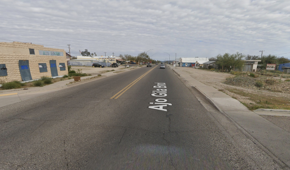
This screenshot shows basically what I saw on Google Maps – a highway town, extremely spread out with nothing of note. It’s hard to even find the historic downtown that would have alerted me to search further.
The Sonoran Desert Inn where we stayed is located in one of the eight buildings of the historic Curley School, which is spread out over seven acres of land. In total “there are 114,000 square feet of apartments, classrooms, workshops, and a huge auditorium with an indoor-outdoor stage. The main building, an architectural masterpiece of Spanish Colonial Revival style, was built in 1919 at a cost of $175,000 and is on the National Register of Historic Places. Additional buildings were added to the campus in 1926 and 1937. The school was named for mine superintendent Michael J. Curley. A comprehensive 38-page pdf by the National Park Service describes the school and community.
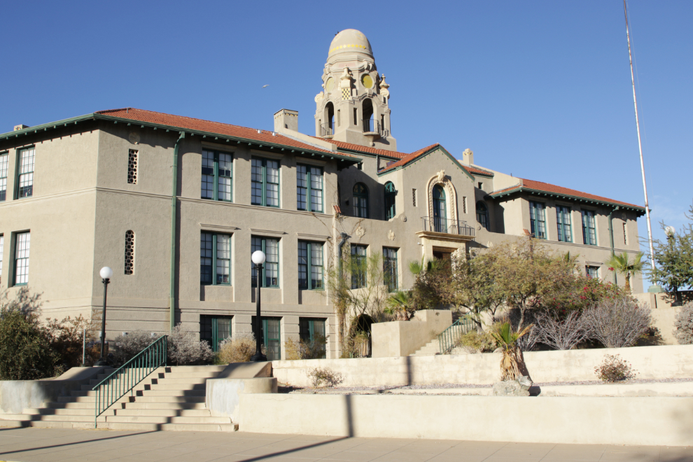
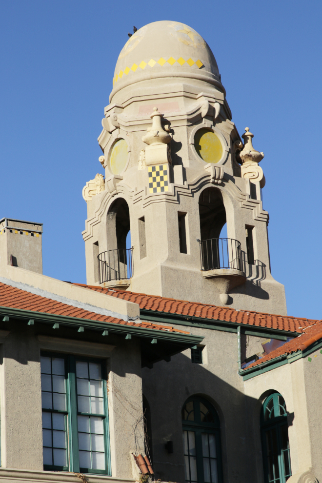
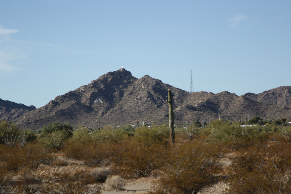
The school beautifully anchors the view to the southwest from the historic downtown square. Behind it is Camelback Mountain, more commonly called A Mountain, with its concrete cross on top, honouring John Campbell Greenway, who came to Ajo in 1911 when it had a population of 25.
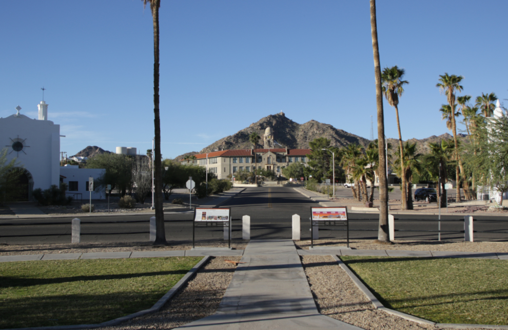
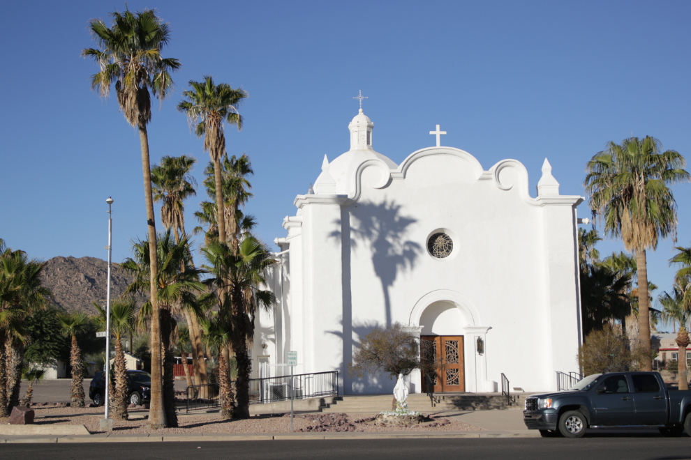
To the right of that view above is the Immaculate Conception Catholic Church. Completed in 1927, it is the work of George Washington Smith, a leading proponent of the Spanish Colonial Revival style.
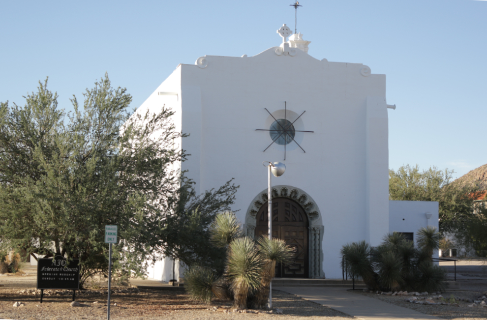
To the left of that view is the Ajo Federated Church, built in 1926, with the architecture influenced by the Mission Revival style.. Sunday services are conducted by a Methodist lay pastor, but this is considered to be the community church and Christians of many denominations worship here.
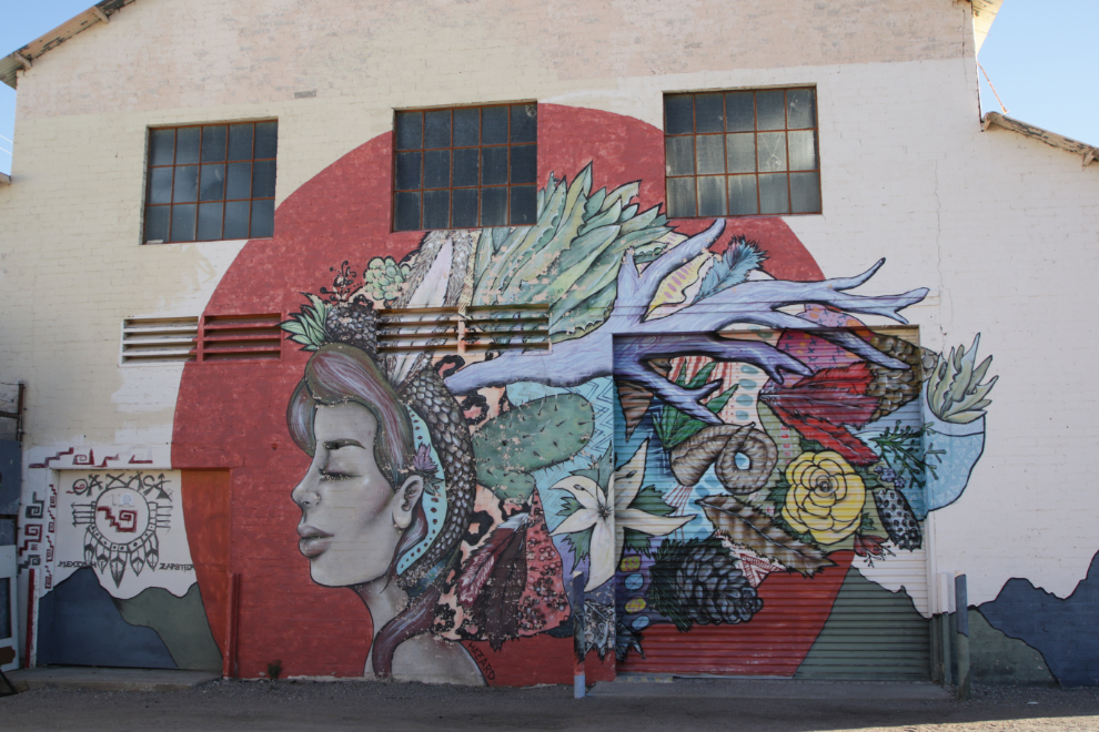
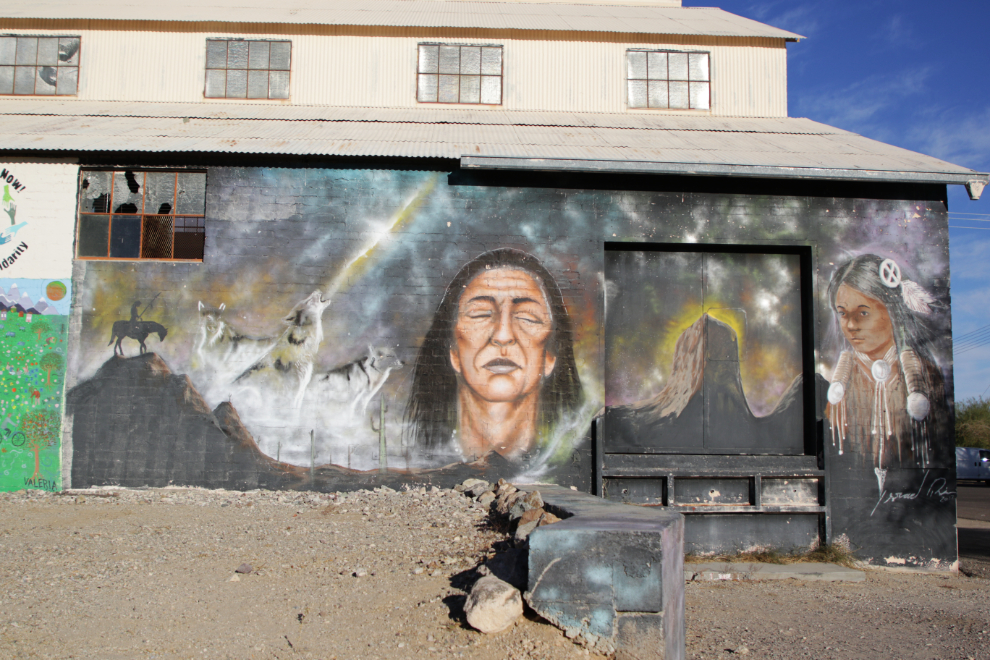
Andrea wanted to have a closer look at a mural we had driven by, and that started us on a small tour of downtown murals. This is “Sonora” by Spanish artist Harriet Wood a.k.a. Miss Hazard – she is considered by many to be one of the top 25 female street artists in the world.
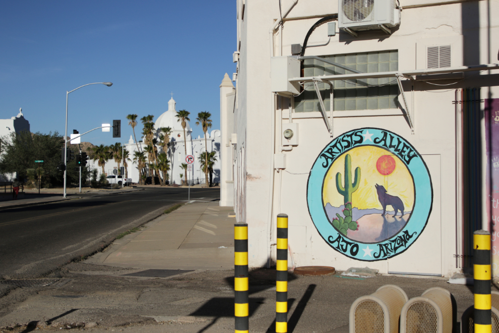
Artist Alley has the largest concentration of murals.
“Migration, for all living things, is a move from scarcity to plenty… from despair toward hope.”
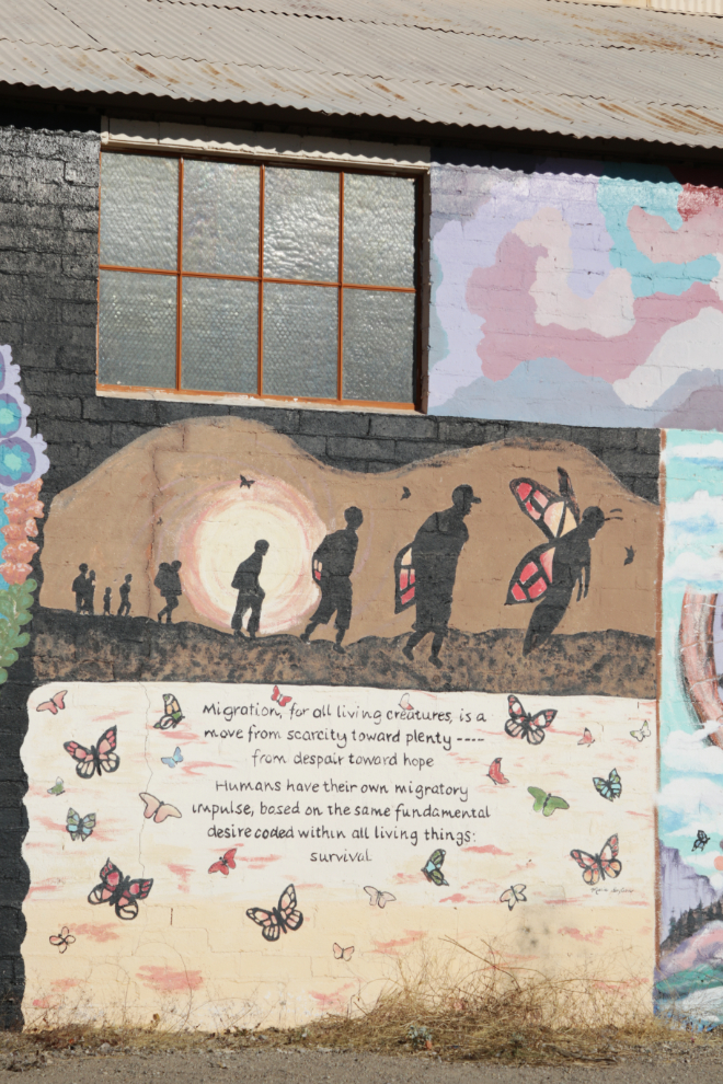
That’s quite a truck loading bay!
I wanted to see what the Ajo airport looked like, so that was our next destination. That took us past a large school and a series of four huge mine tailings ponds.
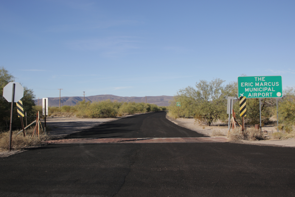
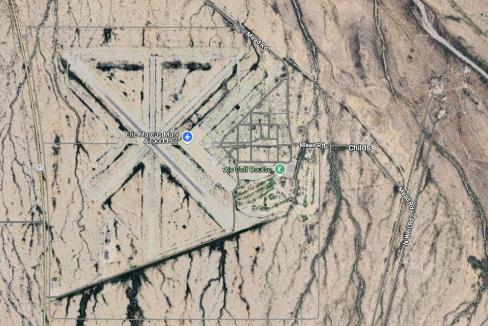
I couldn’t make sense of what I was seeing at Eric Marcus Municipal Airport – no aircraft, no tower, two old warehouse-type buildings (perhaps hangars) and a vast expanse of concrete but not enough to be a runway. Hmmmmmm….
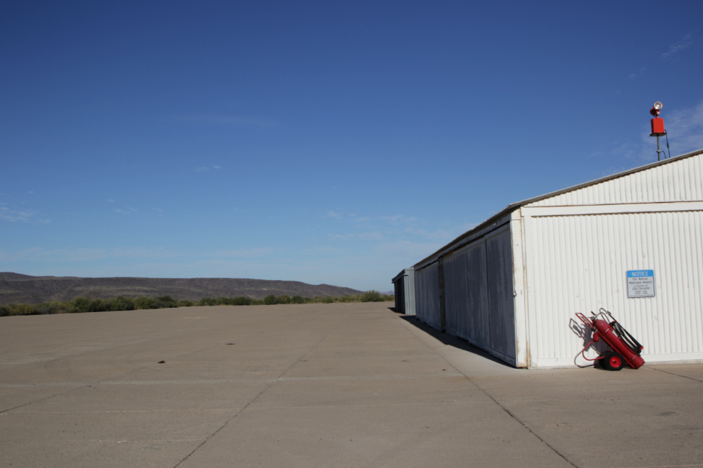
It turned out that what I saw was the remnants of a huge air base established on August 22, 1941 on 1,426 acres of land. In 1943 it was upgraded with three bituminous 150-foot wide runways: 5350, 5300, and 6300 feet long. A large parking apron was built with additional taxiways, landing aids and several hangars. The current operational runway is part of the former 6300-foot one. The next image is a current one from Google Maps.
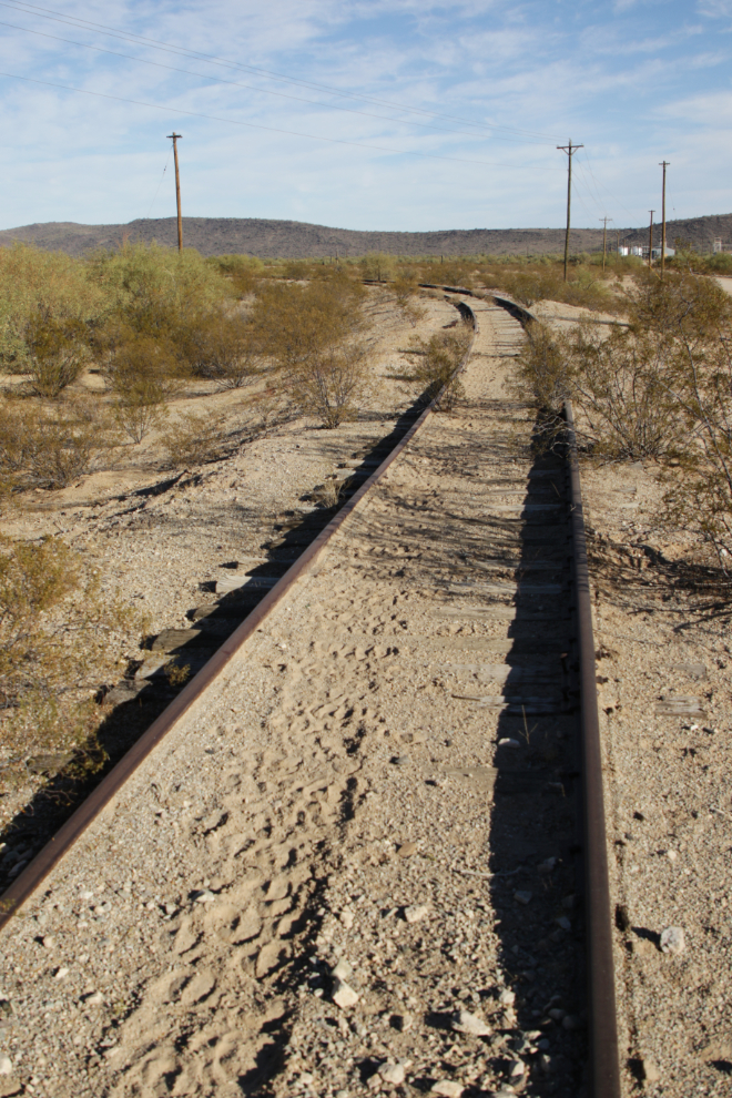
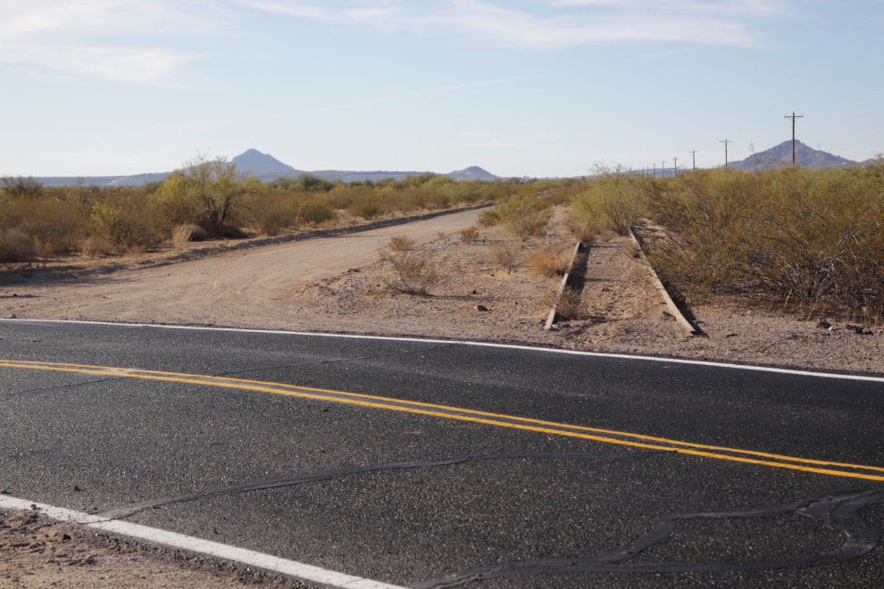
On the way back to town I got some photos of an abandoned railway that I now assume serviced the air base, which was de-activated in October 1946.
Nearing Ajo again we g ot a great view of Camelback Mountain, and you can see why it’s called A Mountain 🙂
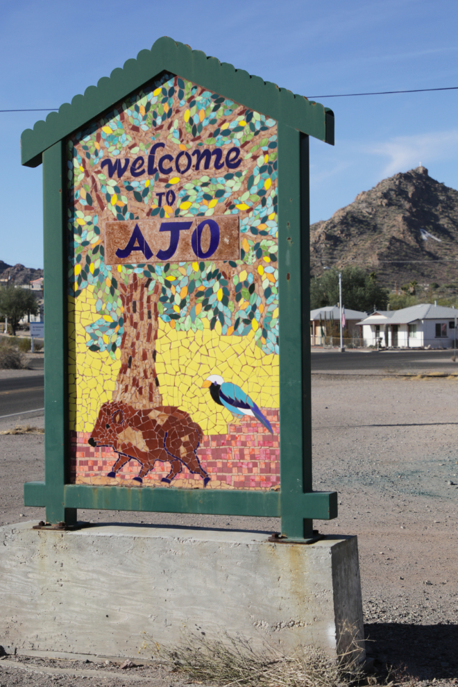
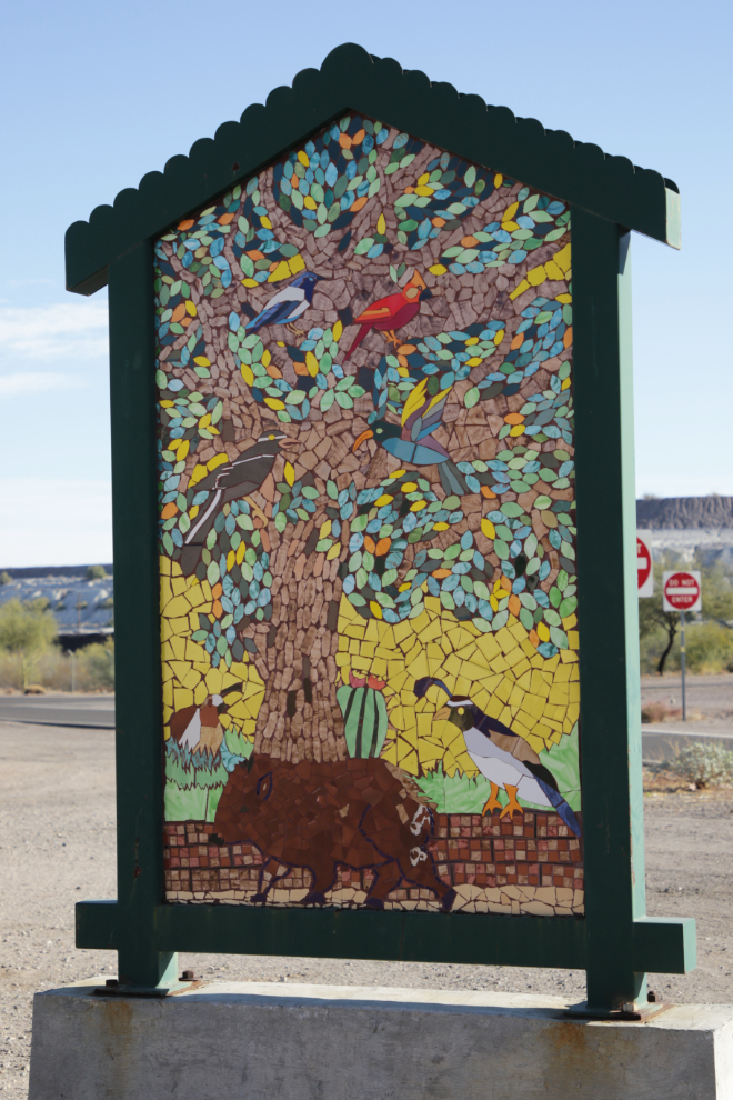
As I was about to turn onto Highway 85 I spotted a beautiful tiled Welcome to Ajo sign, so stopped and got a couple of photos of it.
All that and I hadn’t even looked at the mining history that created the town!

Hey Murray! As an Arizona resident its fun to read travel blogs of other traveling through Arizona. That “Sonora” mural by Spanish artist Harriet Wood is pretty cool!
Hey, Jim, welcome! I’m glad you’re enjoying it – I also find it interesting to see what visitors think of my home 🙂