A day in the Atlin – Surprise Lake backcountry
A friend asked if I’d like to drive into the Atlin – Surprise Lake backcountry yesterday to gather rocks for her landscaping. I love the Atlin area, so the answer was, of course, “yes” and it turned out to be an excellent day, ending with a series of wild thunderstorms.
The day began in a confusing way, though. I had borrowed my friend’s 1-ton flatbed to take the last of the brush from my garden project to the landfill before we headed to Atlin. I thought yesterday was Thursday, not Sunday, and was happy to get away from home early to beat the commuter traffic. However, I arrived at the dump to find the gate locked. It took me a few minutes to put 1 + 1 together properly. DOH!
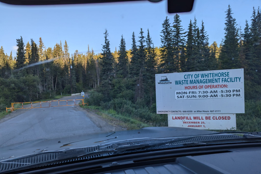
If you have anything other than bags of household garbage, the staff at the landfill can be a pain in the ass to deal with, and this was one of those days. After a great deal of thought, commentary, and checking the load closer, she eventually decided that $31 would be a good price to dump it. If I accumulate any more brush or scrap wood, I’ll be burning it.
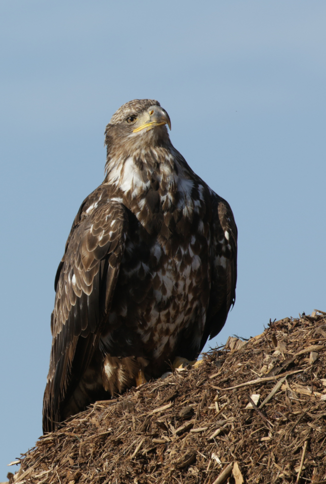
Anyway, after getting everything off the truck, I noticed a couple of immature bald eagles close by, so put my 400mm lens on and captured a few portraits.
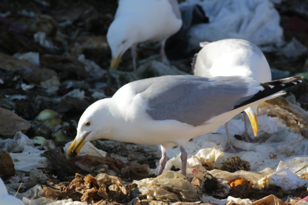
With my mental state more settled now, I noticed a lot of gulls right in front of me, so got a few photos of them as well. This is a Herring gull, Larus argentatus, one of 15 gulls that can be found in the Yukon.
With that job taken care of, I met my friend and we headed south. Just before 11:30, we made a photo stop at a particularly large glacial moraine that spreads across the valley just north of Atlin Lake. On the right is Mount Minto, which was renamed K’iyán Mountain (the traditional Tlingit name) on March 23, 2023. It is 2,107 meters / 6,913 feet high.
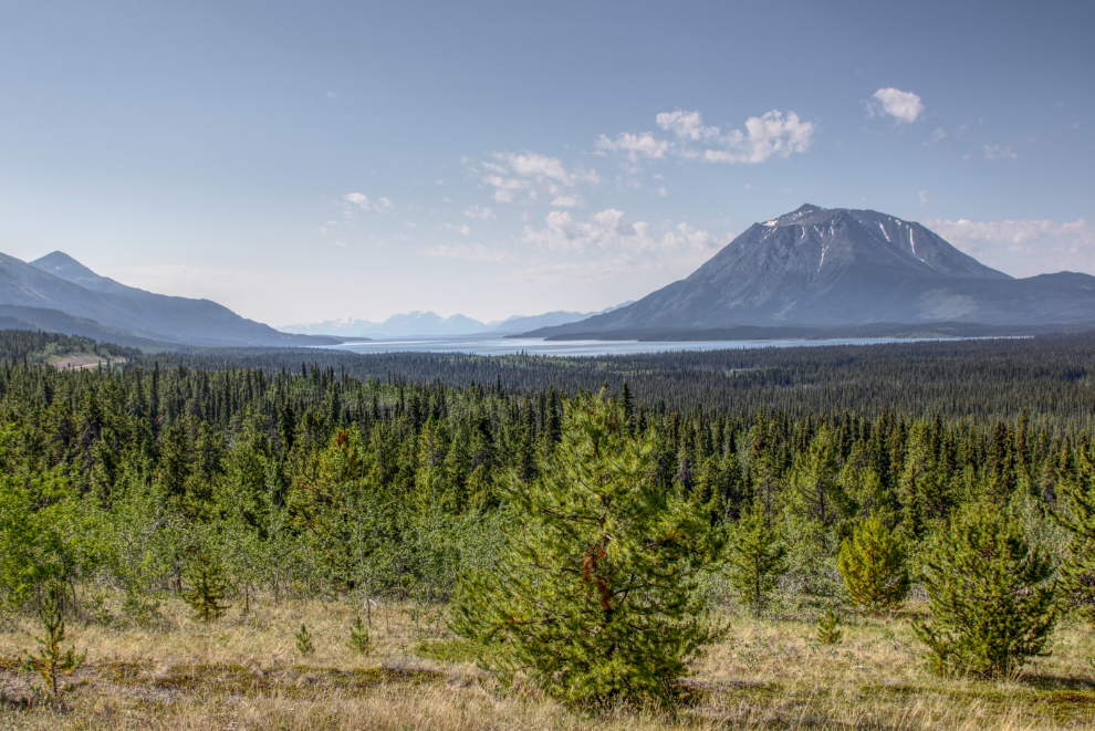
We followed the road along the moraine for a bit – although it drops down towards the Lubbock River, neither of us knows where it eventually goes.
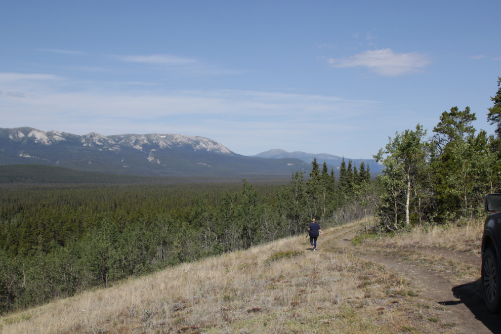
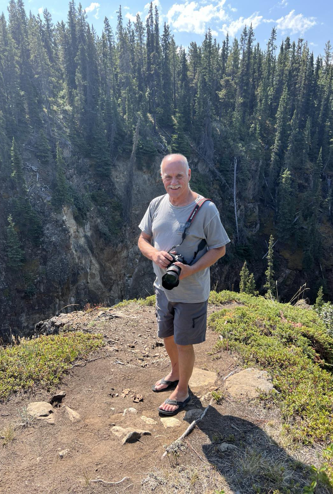
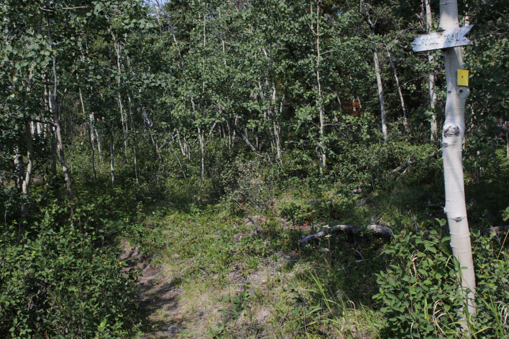
Reaching Atlin, we headed east on Surprise Lake Road. Our next stop was at Pine Creek Falls. I’ve stopped there many times, but Karla showed me a viewing location I didn’t know about. About 100 meters before the usual viewing area, the trail is signed as the Crocus Recreation Trail.
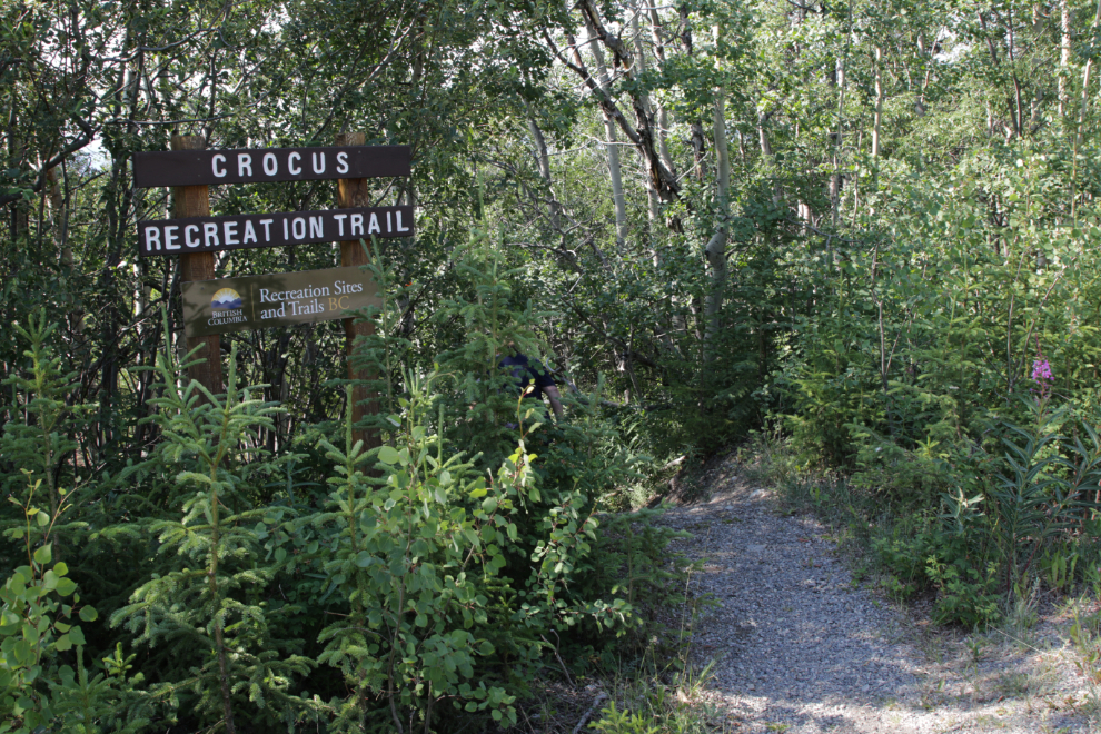
Yes, this is a great spot to view the falls and canyon 🙂
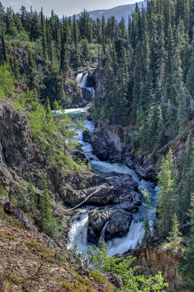
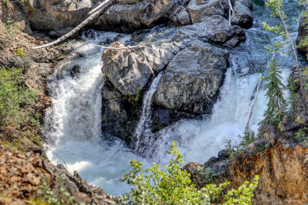
The Crocus Trail and an ATV trail continue downriver to unknown destinations.
Our next stop – tour, actually – was through one of Ed Kolody’s placer gold mining properties. He mined in Dawson in the 1970s then moved to Atlin in 1982 and operated over a vast area until at least 1996. Little remains of the camps, but the scale of the operations is clear. This aerial shows the area we wandered through – the Surprise Lake Road runs across the upper part of the image.
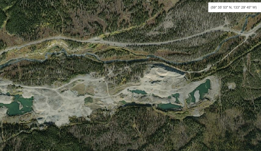
This is the main group of stuff from those days. It can be seen just left of centre in the aerial above.
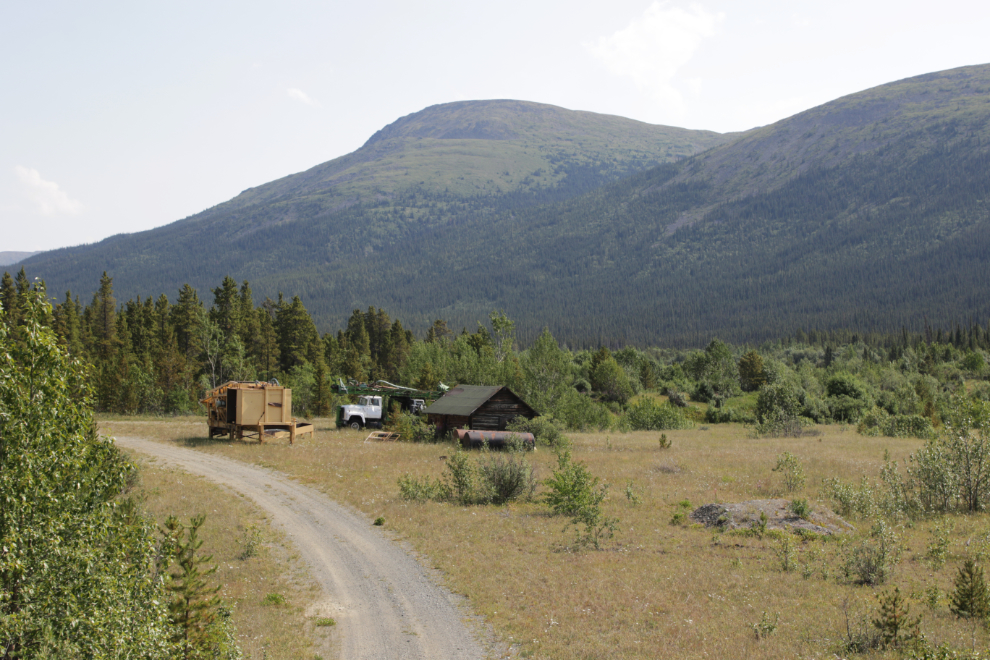
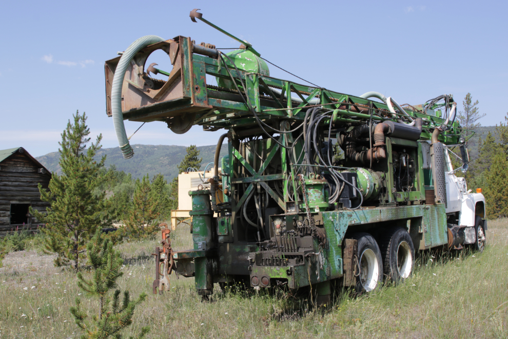
I couldn’t figure out what this truck’s purpose was – it seems to be a pump of some sort.
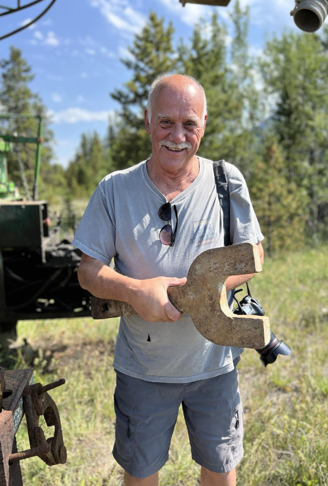
This hand-cut wrench was hanging on the back of the truck.
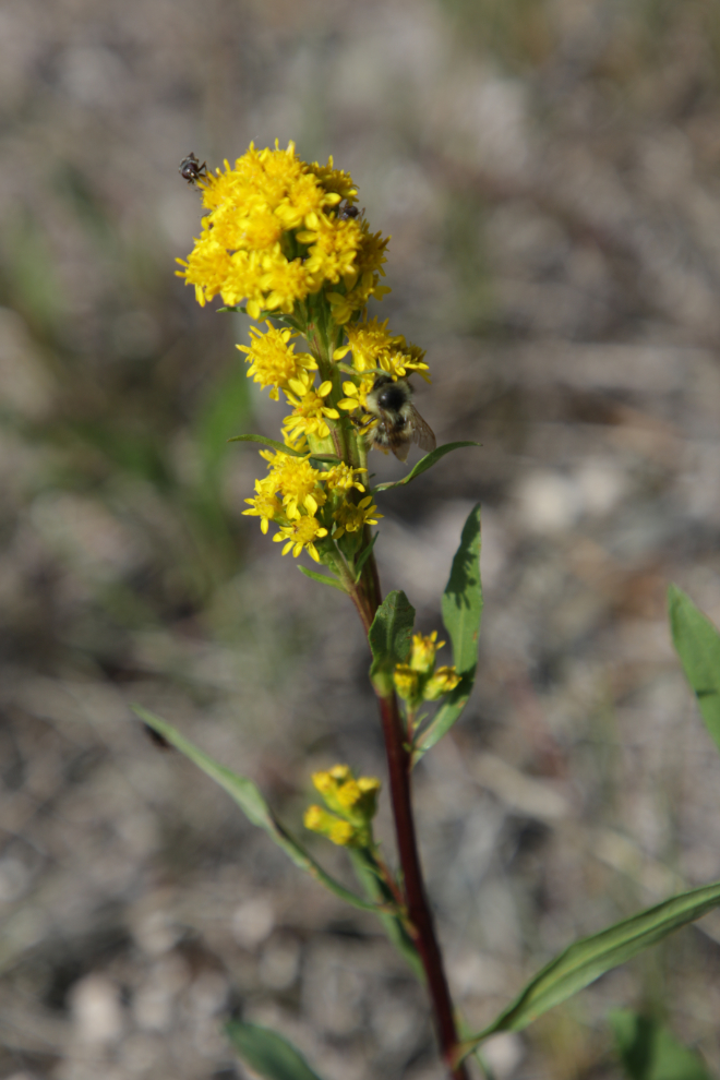
A goldenrod with a bee and another bug on it. Mother Nature will eventually remove most traces of the human activity that occurred here, but the growing season is very short.
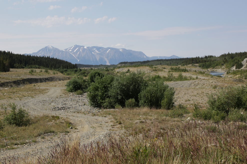
This is as far east as we drove on the claim.
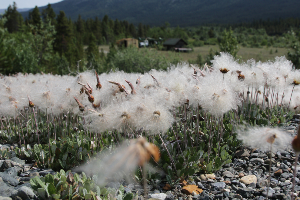
There was a large area of mountains avens gone to seed.
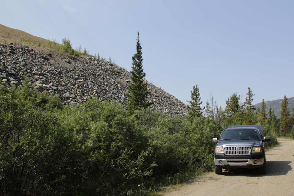
It’s hard to believe the amount of rock that was moved to recover a few pounds of gold.
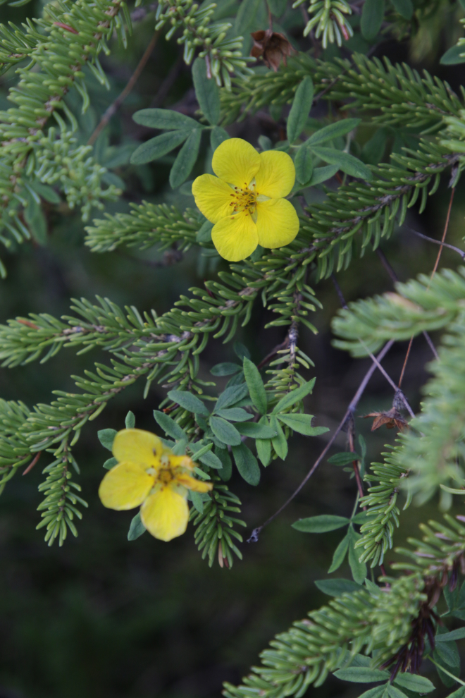
Shrubby cinquefoil growing at the base of that mountain of rock.
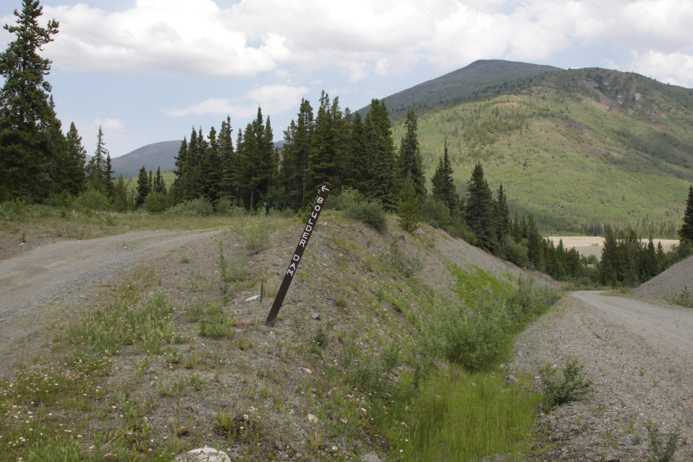
The next stop, at 1:45, was as we were about to turn onto the road to the historic wooden Boulder Dam – and it was an abrupt stop!!
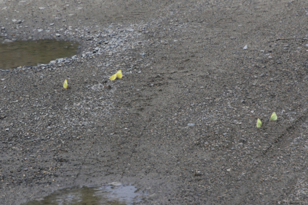
There were butterflies everywhere, drinking from the wet gravel. I’m intrigued by what might be so special about this one spot. Most of them were the pale yellow Palaeno Sulphur (Colias palaeno). I wasn’t able to get anywhere close to them.
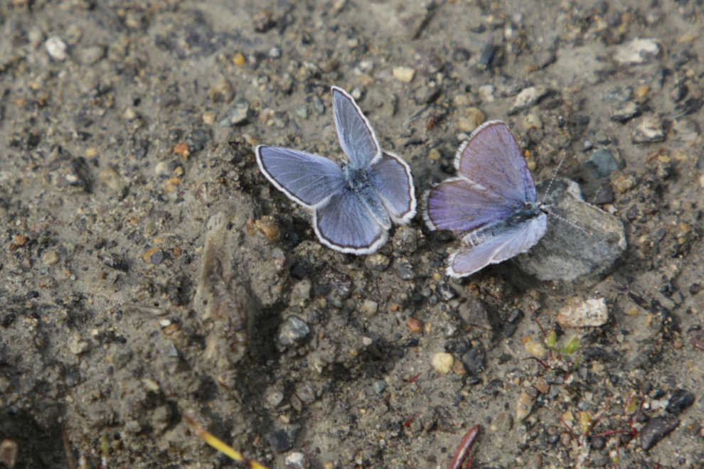
These much smaller butterflies may be male Arctic Blues (Plebejus glandon).
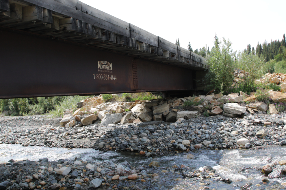
We made a lengthy stop at Boulder Creek to gather some rock for landscaping. That had been the primary point of this outing (we had also taken some from the placer claim), but we always get distracted by other things 🙂 I was extremely surprised to see that the 30-meter-long steel bridge across Boulder Creek was a rental! Another stencilled sign says it was installed in September 2005. Northern Bridge Rentals was in Grande Prairie, Alberta, but no longer exists, so it’s apparently a gift to us now.
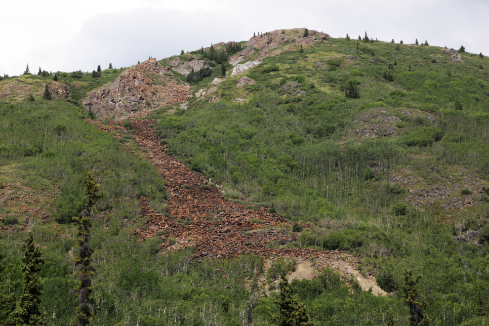
The geology of the Surprise Lake area is both complex and fascinating. My take on this is that there was a volcanic plug towards the upper left and as it eroded the debris field below was created.
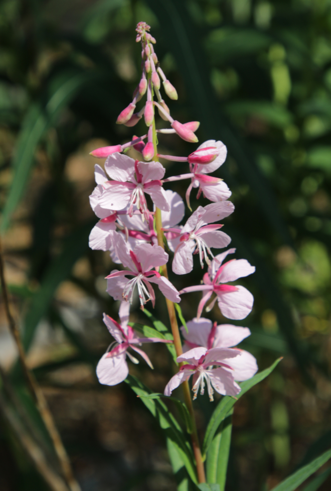
Wow, it feels like many years since I’ve seen white fireweed! I’ve disguised the location to prevent it being molested – there used to be a patch at the Tombstone Mountain Campground (about 30 years ago) but so many people picked it they wiped it out.
Just before 2:30 we reached the area that had actually been the primary destination because of its volcanism – Ruby Creek. The creek itself has been thoroughly placer-mined, and hardrock exploration has left a maze of roads at higher elevations.
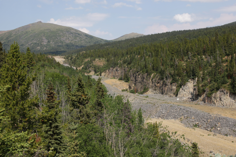
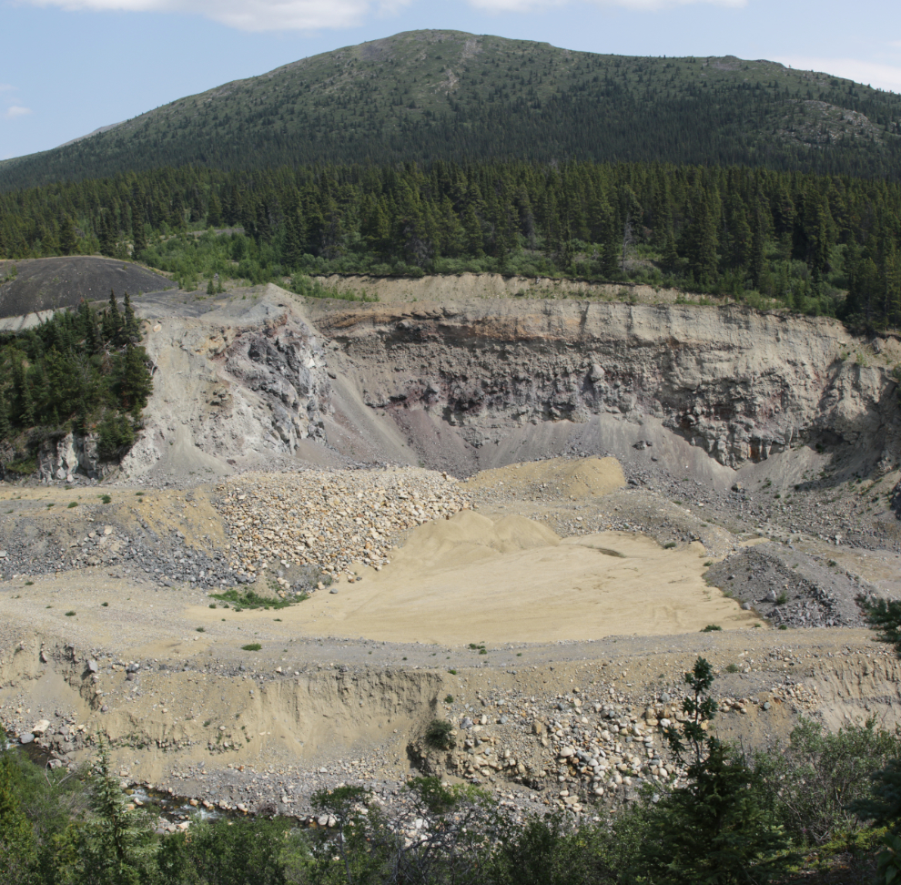
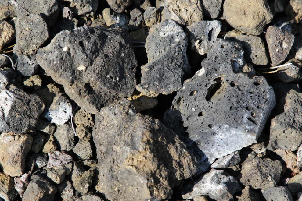
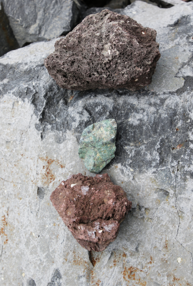
This is the sort of volcanic rock I was walking on to get the two photos above.
From the bench we were on, a ridge of perhaps volcanic mud ran for 100 meters or so.
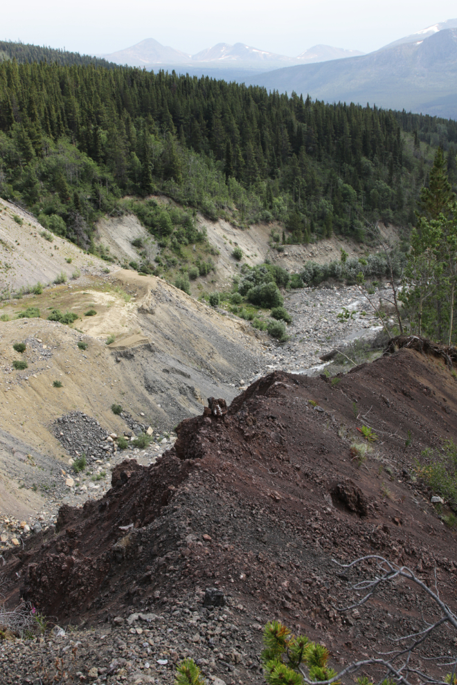
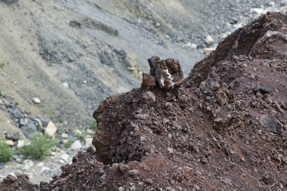
A volcanic bomb, about 8 feet in diameter, was the largest of many in this area. We got one landscaping rock near here that was so big it took both of us to lift it into the truck!
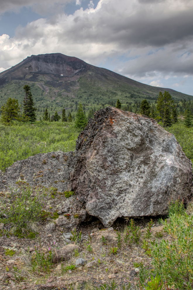
Just before 3:00, I shot the panorama below at the point where we turned around. The point where I would like to start a day’s adventure, I might add. To the left is Ruby Mountain, at 1,880 meters (6,168 feet) the highest peak in the Atlin volcanic district. An excellent hikes goes up the east side of it, up the wall of the huge collapsed crater. I’ve been unable to find when the last eruption was, but it was certainly many thousands of years ago.

A massive storm with lots of lightning and thunder was moving in from the east, so our day was about to come to an end, but we kept exploring.
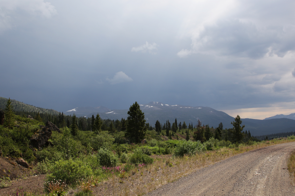
We drove up a short side road to a spot that looked like it might have good rocks, and I climbed up to see what I could find.
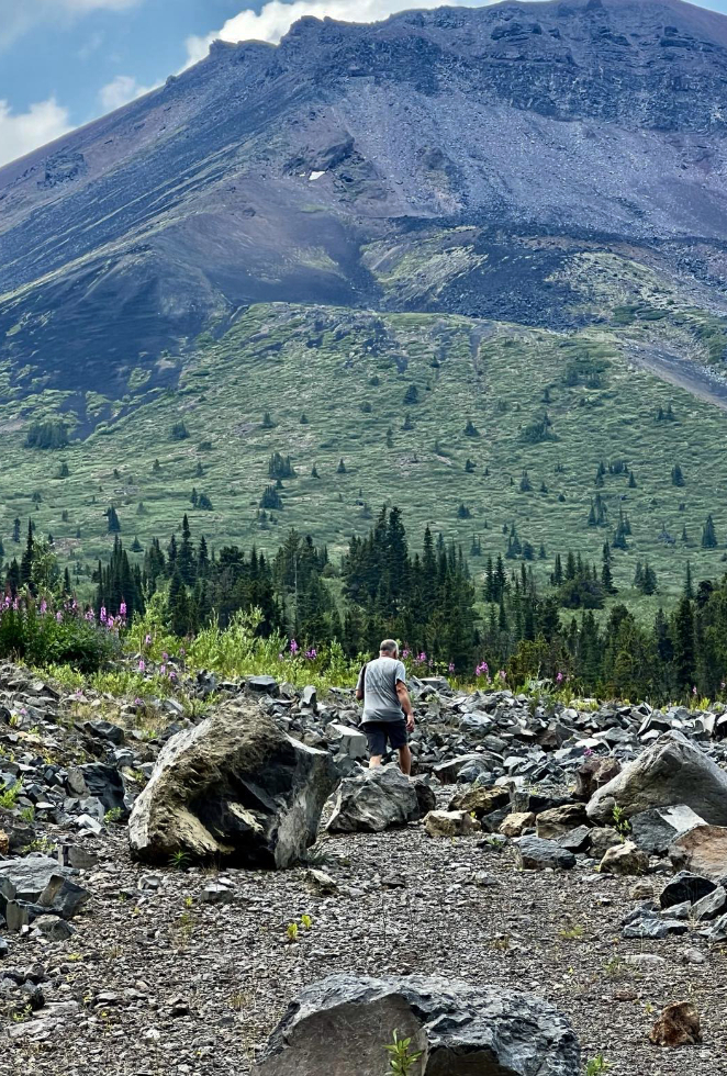
I came back to the truck with a good load of rocks 🙂
As the lightning got closer and a few drops of rain started falling, we began the drive down. But I wanted to make one more photo stop.
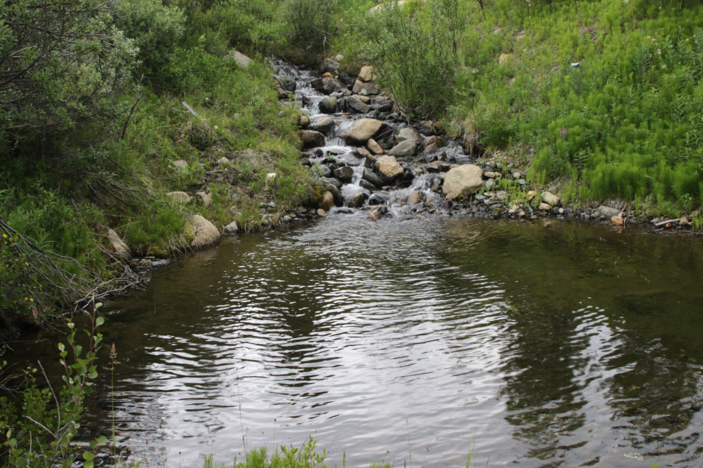
When the storm hit like a wall (the wind was incredible!), the temperature dropped from 31C to 19C within seconds – I shot this video a minute later. A group of ATVs passed us as we were at the foot of Surprise Lake – one driver just in a tshirt and jeans!
Back in Atlin just after 4:00, we fueled up, then Karla wanted to make one more stop, at a beach south of town. It was an excellent calm place to end the day.
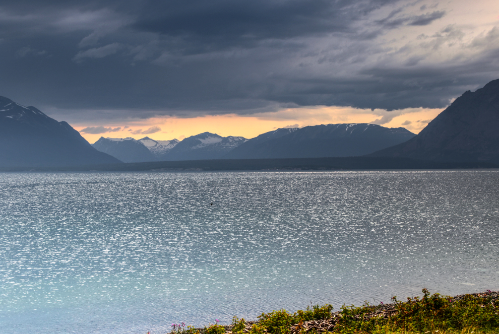
At the north end of the beach was a rocky knoll with rocks at its base that had been sculpted and polished by the weather over thousands of years.
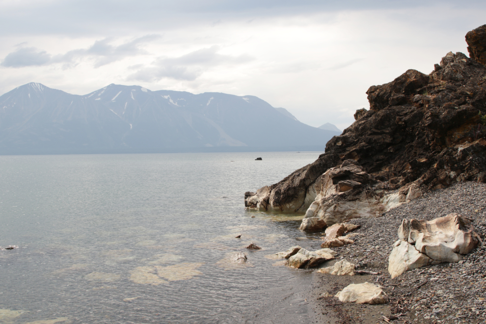
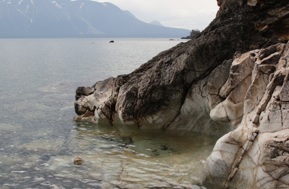
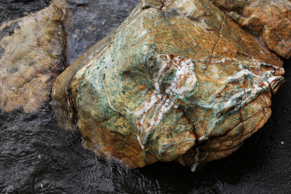
I decided to get a photo of the beach from the top of the rocky knoll. It started raining as I began climbing, and got harder and harder. I got the shot but by the time I got back to truck I was soaked.
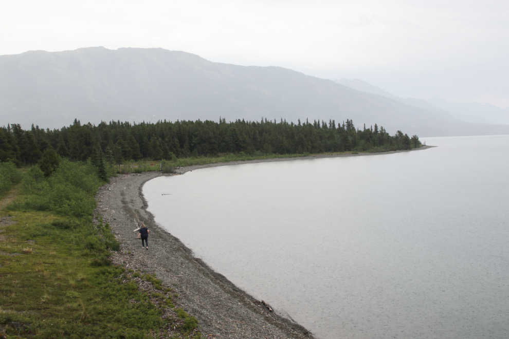
We took a bit of a wander into a seldom-seen part of Atlin, then headed home. It had been a very long day, and I was asleep within a couple of minutes of heading north on the Atlin Road. We unloaded hundreds of pounds of rock at my friend’s place, and though I have no memory of anything after that, I got home and apparently had a good night’s sleep, because I feel surprisingly good today. Ready to go again! Keep on Adventuring… 🙂

That first photo in this post of Atlin Lake and the long view of that peak… wonderful! And the end lake photo with the heavy rain clouds at the end of the lake.. ! What a joy it would be to have all that area to explore at your convenience… thanks for sharing that little adventure.
Atlin has always had a special draw for me, and I never get tired of it.
Excellent! I’d really like to see that area next time we come north.
It’s really well worth seeing, for as long as you can make time for. The backcountry to the southeast is very different than to the northeast where we went this time. And a flight across Atlin Lake to the Llewellyn Glacier and beyond is mind-boggling.