A day in Kluane Country
The Victoria Day long weekend is the first weekend of summer for Yukoners, and most people want to get away somewhere – even if just a road-trip day. The weather forecasts have been erratic so we just decided on Saturday morning to head up the Alaska Highway to “Kluane Country” for the one mostly-sunny day of the weekend.
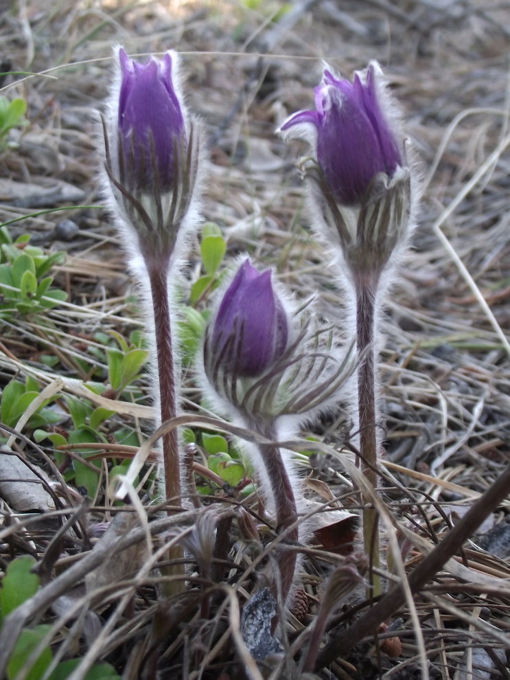
The day began well – the first crocuses have finally started flowering in the forest in front of our house. It was a rather lazy morning, though, and we didn’t get on the road until after 10:30.
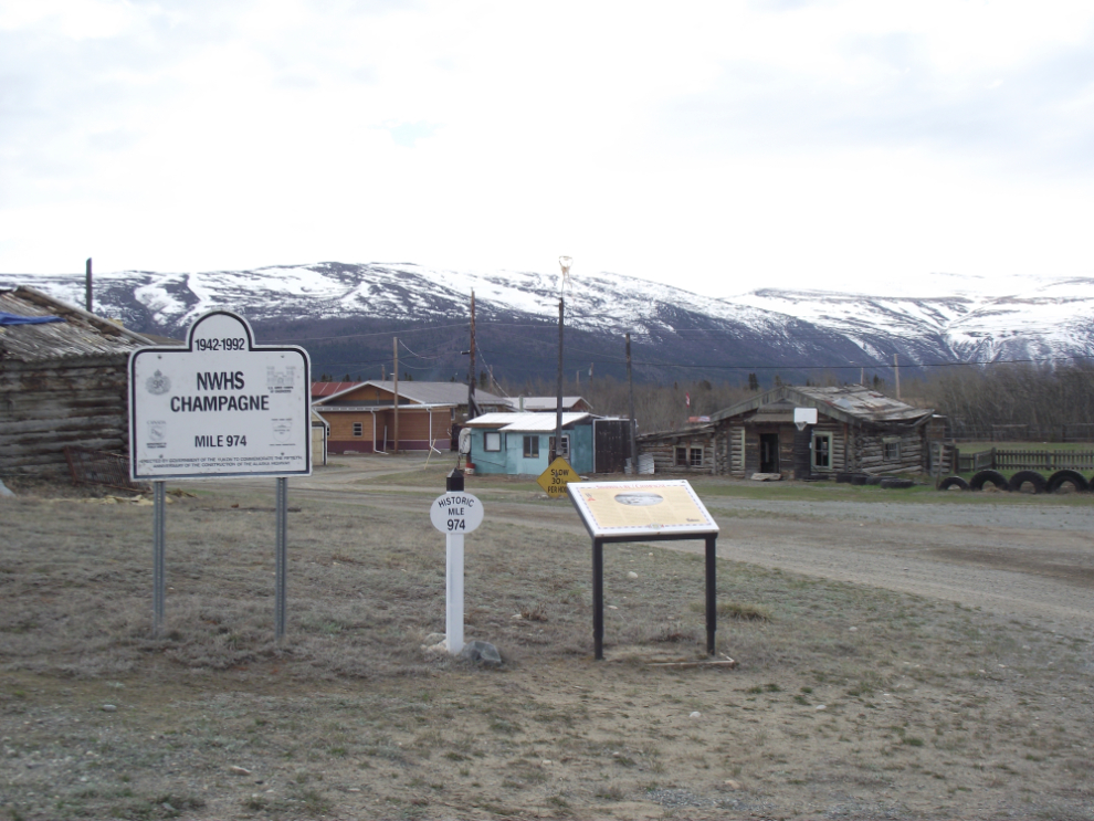
Our first stop was at the tiny village of Champagne. In 2002 the Alaska Highway was re-routed around the village, so it’s very much “off the radar” of most travellers, which suits the residents of Champagne just fine. There are 3 interpretive signs, the 2 highway signs on the left of the photo below and one with general history.
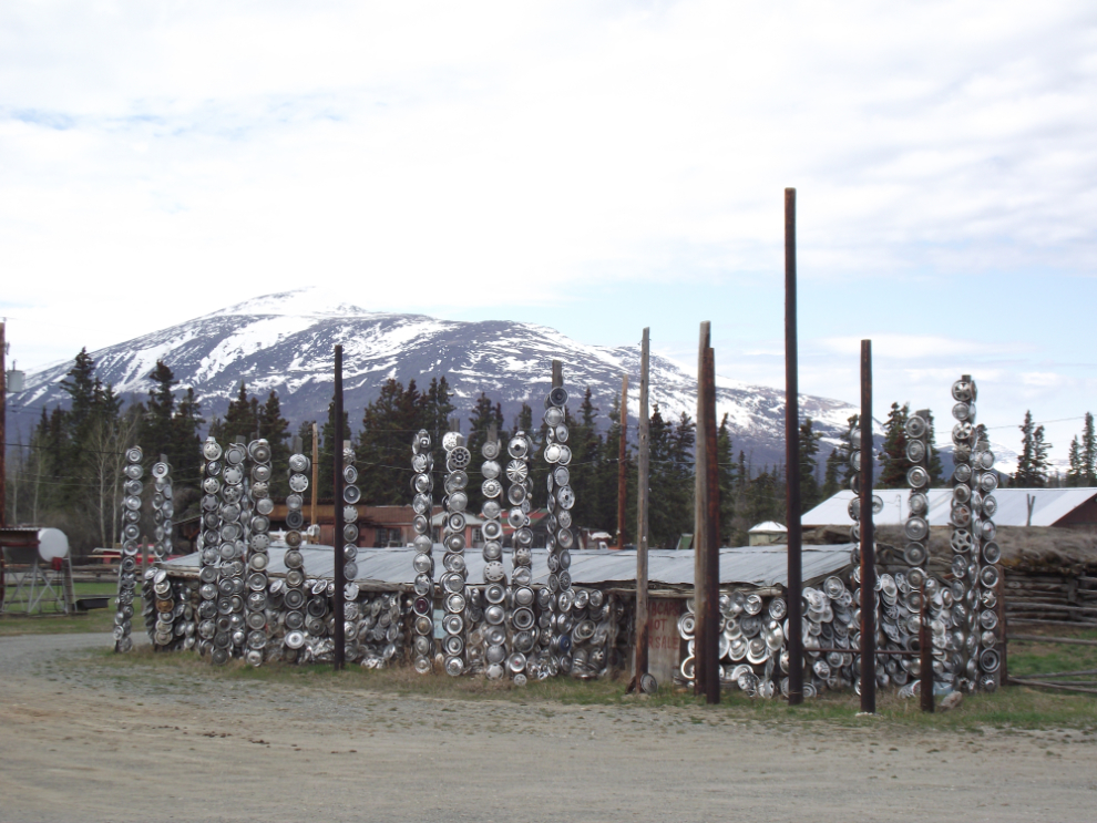
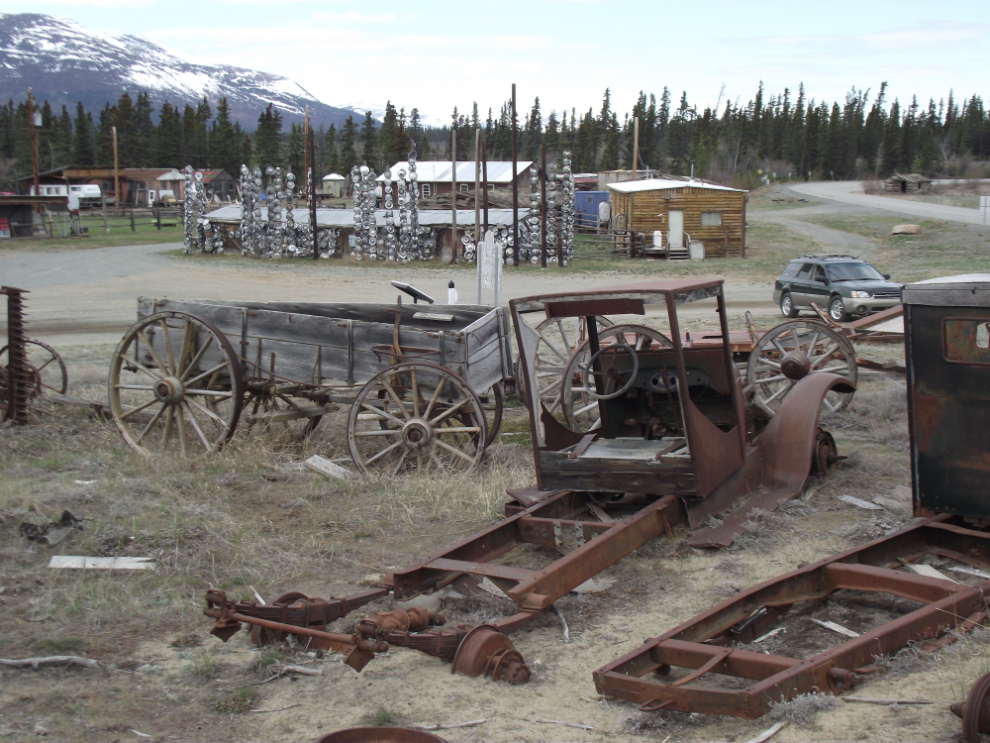
In past decades the Alaska Highway was so rough that it was hard to keep hubcaps on vehicles, and many people living along the highway collected them. At Champagne, a modern interpretation of totem poles were created with them!
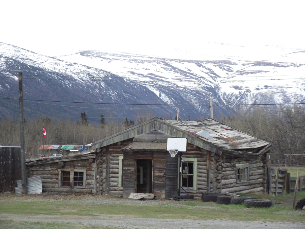
An abandoned log cabin.
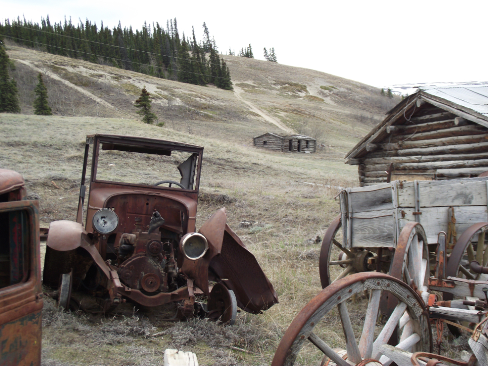
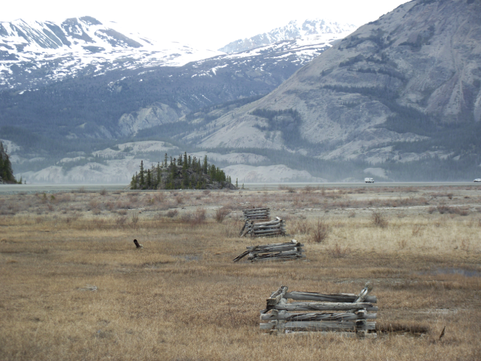
Several trucks and a wagon that worked on the Kluane Wagon Road have been set up near the interpretive signage. The hill seen in the next photo is the sand-and-gravel terminal moraine of the massive glacier that once filled this valley.
A broader view of the interpretive area, with the old Alaska Highway on the right.
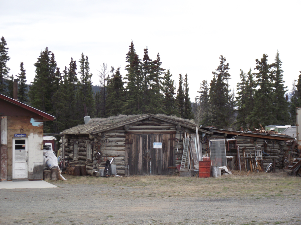
This log garage is still in use.
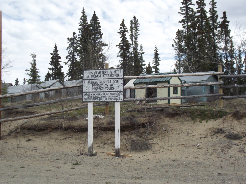
The cemetery at Champagne is quite large and contains well over 100 spirit houses, but as with all First Nation cemeteries in the Yukon, visitors are not welcome.
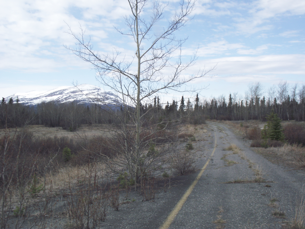
There are many sections of old highway leading off the current highway, and some offer good exploring. This is at Cracker Creek.
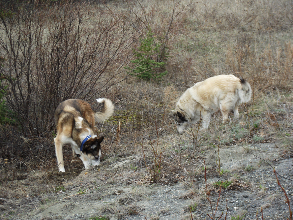
This detour offered Monty and Kayla a chance to do some Arctic ground squirrel hunting. They’re never successful but it’s good fun.
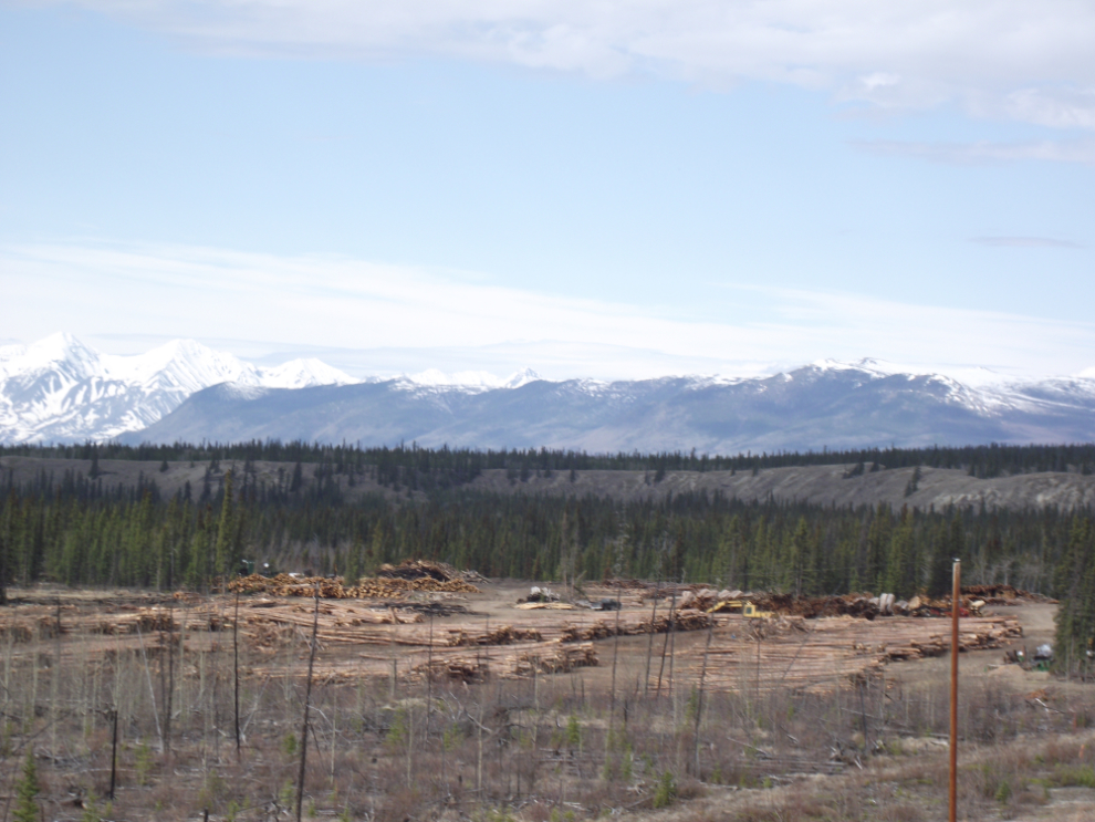
It’s nice to see a real business booming – this mill is along the highway at Canyon Creek.
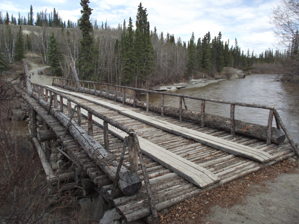
The old Canyon Creek Bridge was built in 1904 but has been rebuilt several times since then. This is a great spot for both short and long walks – a short walk to the bridge and/or roadhouse, or a long walk up the original tote road to a little cemetery on top of the hill.
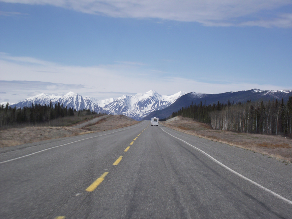
The highway is very quiet. This motorhome is at Km 1558, a section of highway opened in about 2004 – the old highway can be seen on the left.
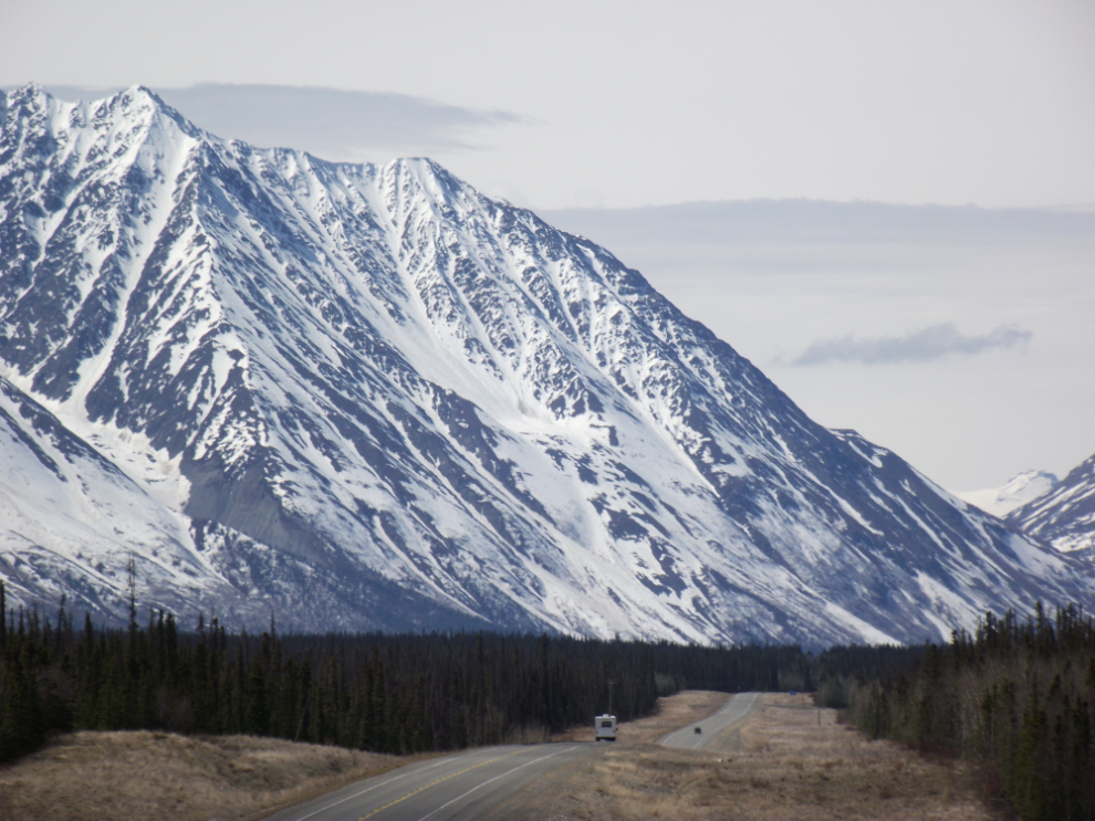
The view of the Kluane Range from Km 1566.
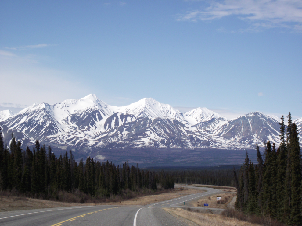
Nearing Pine Lake Campground, a popular sport for Whitehorse residents looking for a weekend of camping.
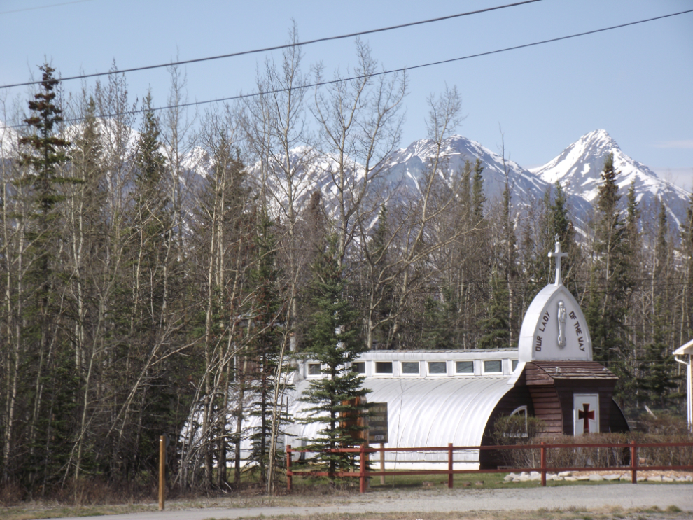
One of the WWII chapels built along the highway. This was shot from the deck of the Tasti-Freeze in Haines Junction, where we had an ice cream cone to keep us going until the late lunch I’d planned.
We had high hopes for bear or elk, but this porcupine was our first wildlife. Both dogs got very badly injured by a porcupine at Carcross a few years ago and we’ve always hoped that they learned from the experience, but their reaction to this guy now makes us think that they didn’t! 🙁

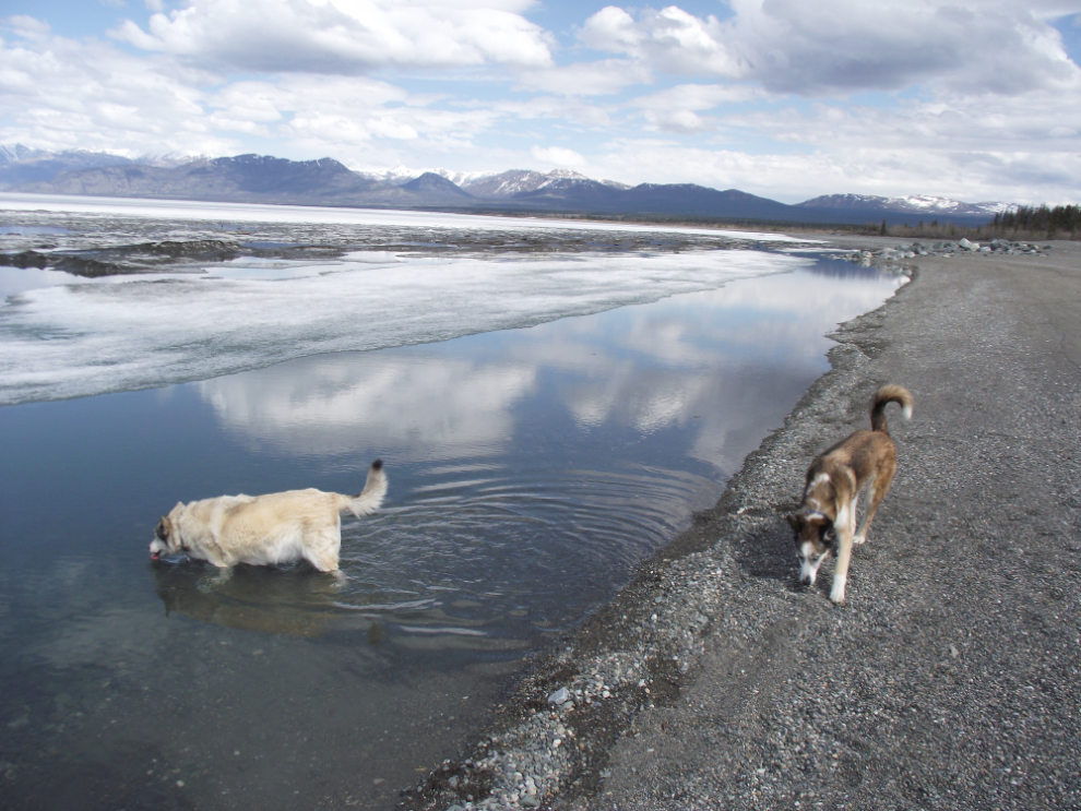
Kluane Lake is still almost completely frozen, but there was enough open water for a drink. Ah, I love the smell of wet dog in the car! 🙂
On the flats at the mouth of the Slims River, these artifacts from World War II can still be seen – the foundations for poles of the CanTel telephone system, and a piece of the Canol pipeline sticking up to the left.
Dozens of Dall sheep were visible on Sheep Mountain, and we stopped briefly at the Tachal Dhal (Sheep Mountain) Visitor Reception Centre. Despite the forecast of sunshine all day, a rather nasty storm was moving in from the south.
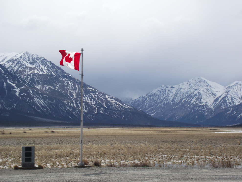
Burwash Landing was our turnaround point. We had a burger in the lodge that I’ve had many meals at (and spent many nights at) since my first stop there in 1985. Lots of memories, all of them very good…
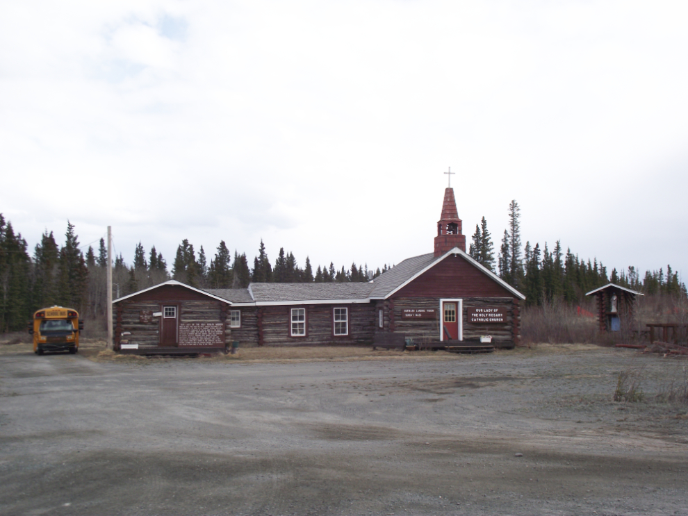
This is Our Lady of the Holy Rosary Mission at Burwash Landing. The land that the church sits on was donated by trading post owner Eugene Jacquot in 1944, and the mission and day school was built under the direction of Father Morisset, who was then an auxiliary chaplain with the US Army.
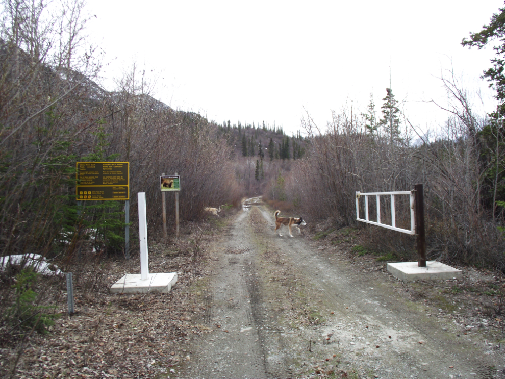
Heading back to Whitehorse, we stopped at the Slims River. This old section of the Alaska Highway is now the Slims River East trail, providing easy foot access into Kluane National Park.
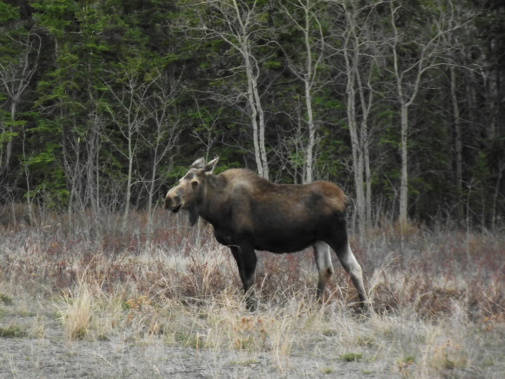
About an hour from home we finally got the “big game” we’d been hoping for – a moose.
It rained for the rest of the weekend, so it was great to have gotten out for one day, in a direction we seldom go. There are a lot of places in Kluane Country and beyond that Cathy hasn’t seen yet…