Tombstone Mountain Campground and some Dempster Highway exploring
On Thursday, August 3rd, we left Dawson and headed north for Tombstone Mountain Campground for a 3-night stay. We had timed the Tombstone part of the trip to be there for “Tombstone Rocks”, a Tombstone Park Geology Weekend, but Cathy also got to see a part of the Dempster Highway she hadn’t yet seen.
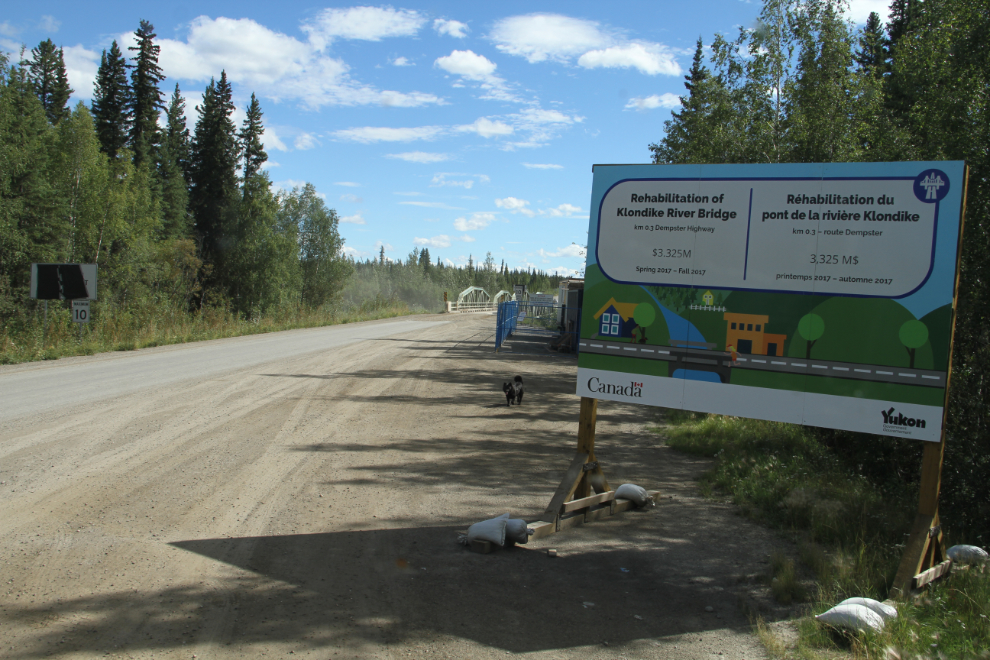
We stopped and made lunch at the start of the Dempster Highway. The tiny one-lane bridge over the Klondike River is being “rehabilitated” at a cost of $3.325 million. That’s a shocking bill for what’s basically a Bailey Bridge!
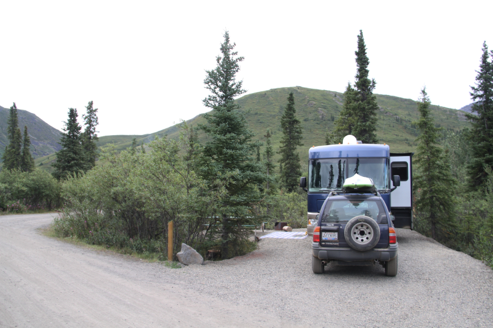
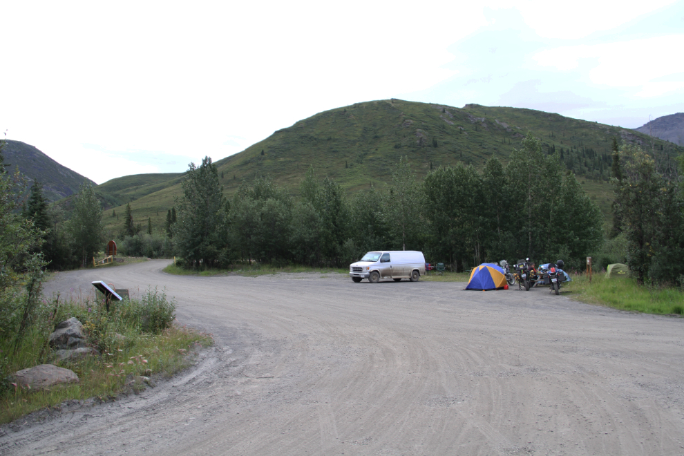
When we arrived at the Tombstone Mountain Campground just after 2:00 pm, it was already almost full. Unhooking the Tracker in the parking lot at the campground entrance so the trailer behind us wasn’t delayed cost us the camp site that I wanted (they took it), but we got a site with a great view anyway. The campground has a good mix of forest and open sites, and there are no “bad” sites at all. We were very pleased to find once again that there were very few bugs of any kind – I’m tempted to say that there were no bugs, but there were a few.
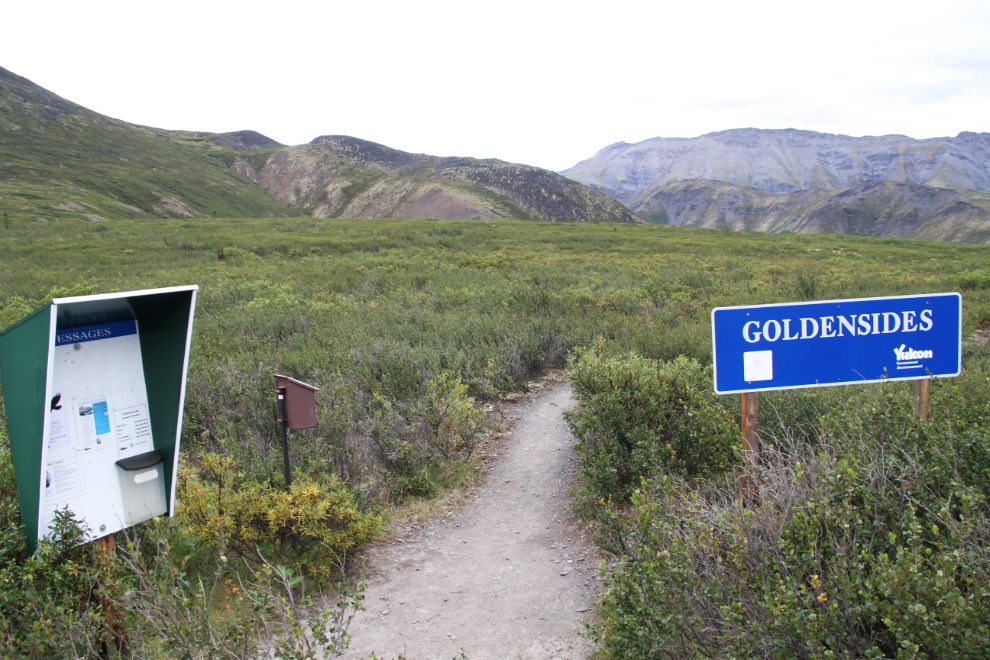
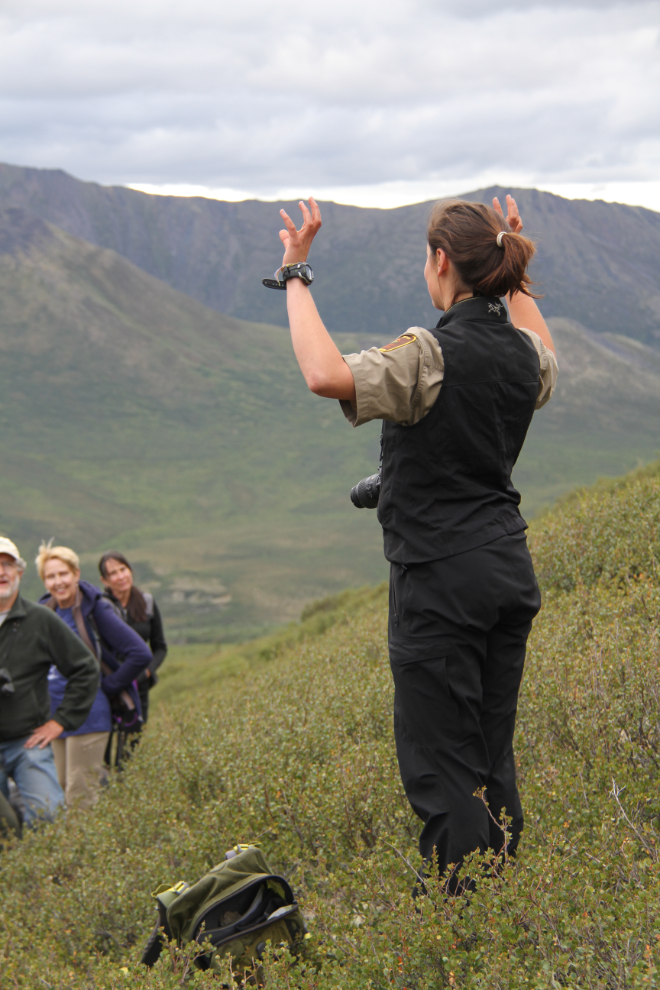
I started my hiking with one guided by a Yukon Parks interpreter that evening. We met at the campground at 7 pm, and carpooled 2 km up the Dempster Highway to the Goldensides trailhead. The hike is fairly easy – 4 km (2.5 mi) round trip, with an elevation gain of 210 meters (689 feet).
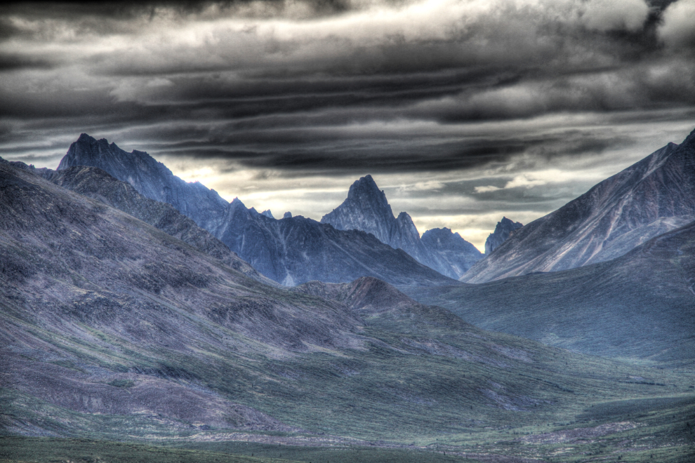
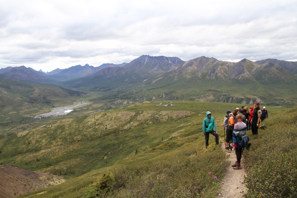
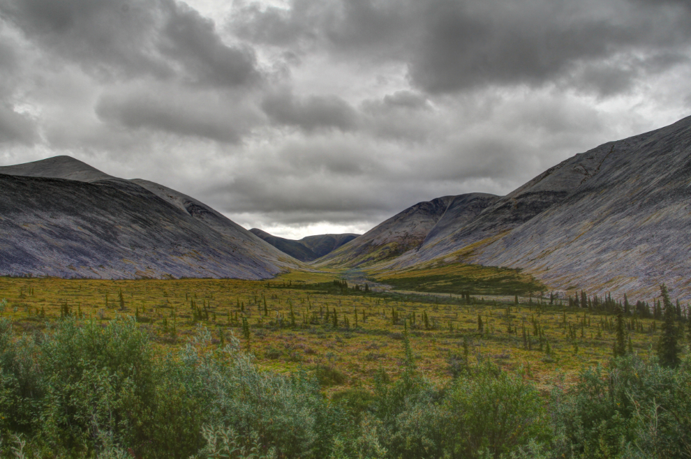
The light was quite flat for photography, but the clouds produced some cool HDR effects.
We had a big group – 26 of us, with an age range from about 10 to 75 years.
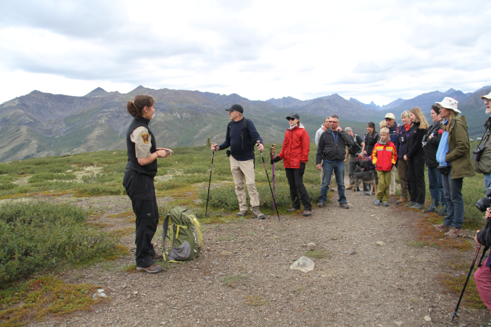
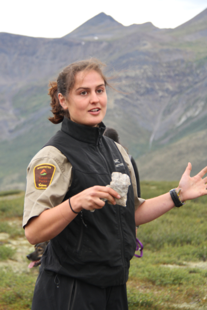
Our guide, Ella Parker, was very good. Her passion for the park is contagious.
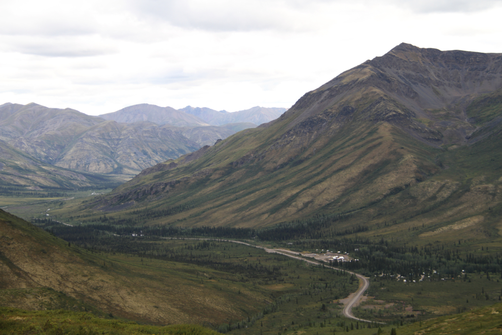
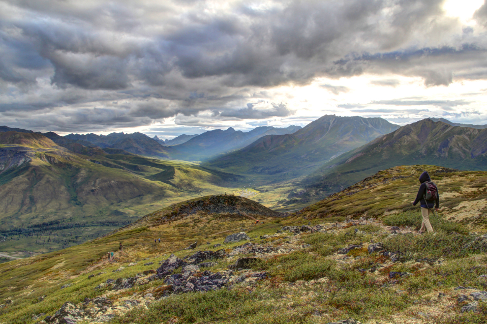
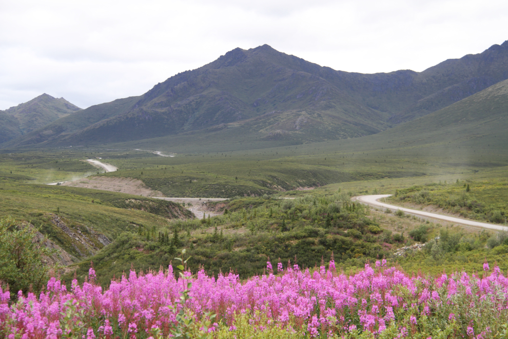
The views are spectacular right from the trailhead, and get even better very quickly. The next photo is looking down the Dempster Highway, with the campground and interpretive centre visible in the foreground.
Ella made a few stops to explain various things. The white spot down on the North Klondike River is ice – it generally lasts for most of the summer and is a good place to spot animals.
Ella was explaining how when she and her Dad were hiking along the Blackstone River, he had suddenly stripped down to his underwear and waded out into the river. A few seconds later, he was holding a whole mastodon tusk over his head! They sent the location to the Yukon palaeontologist with their InReach, and put it back.
As we were on our way back down right at 9:00 pm, some wonderful light appeared for a few minutes.
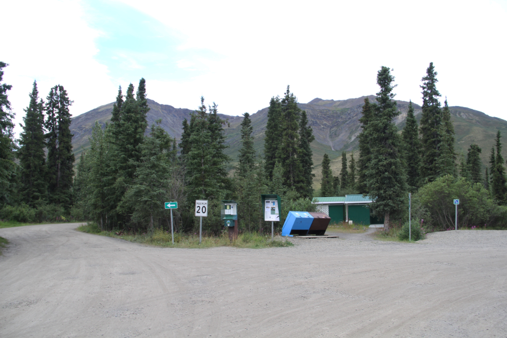
I started Friday off by exploring the campground and then walking to the interpretive centre. With no camp sites left by about 3 pm on Thursday, people were camped in the entrance parking lot, at the picnic shelter, and over at the interpretive centre.
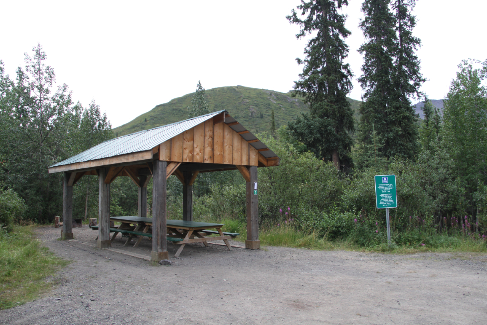
The registration desk is in the centre of this photo of the entrance area. Our camp site was about 40 meters/yards to the right.
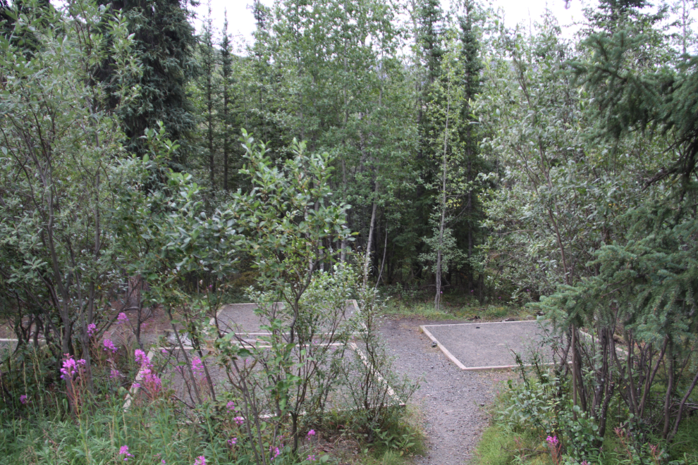
The next 2 photos show one of the group camping areas – the group that was there had already packed up and left by 08:40 when I shot the photos.
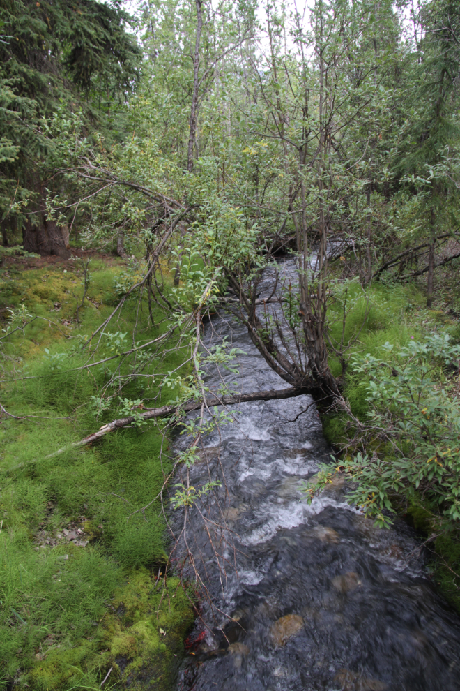
The trail to the interpretive centre crosses over Charcoal Creek on a bridge.
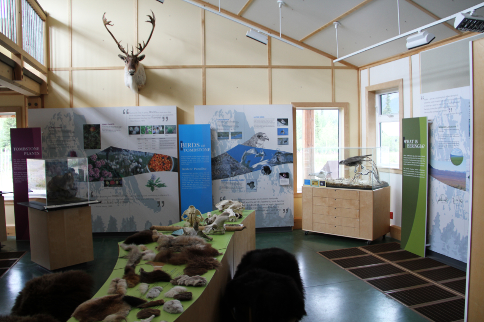
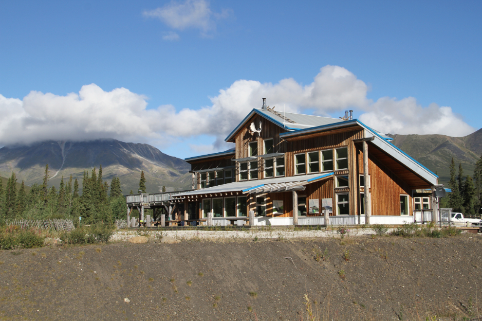
The Tombstone Interpretive Centre isn’t large, but there’s a lot of information well displayed inside the bright, welcoming, space.
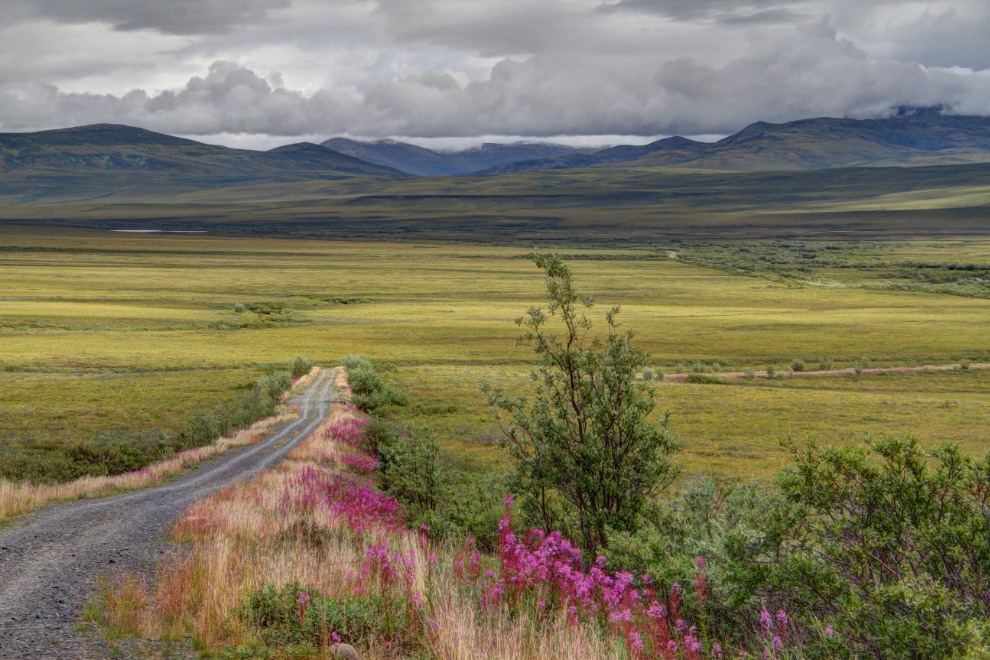
At about 11:00, we decided to take a drive up the Dempster Highway, looking for animals and anything else that might catch our interest. We had no particular turn-around spot in mind, it would be a casual wander. Fireweed brightened up the dull day in many places.
The view to the north from North Fork Pass, which is the highest point on the highway at 1,300 meters (4,265 feet).
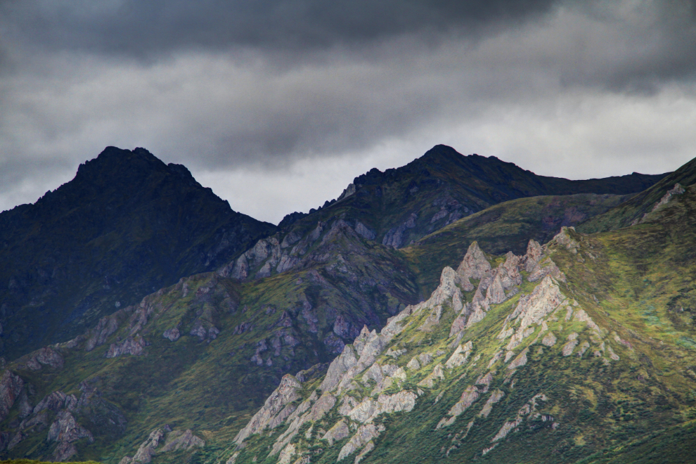
Dramatic lighting on some of the peaks.
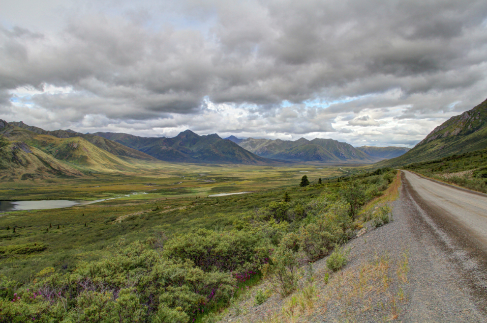
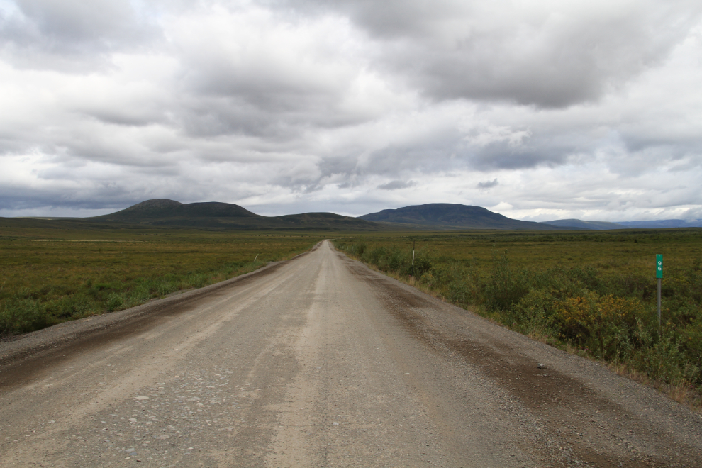
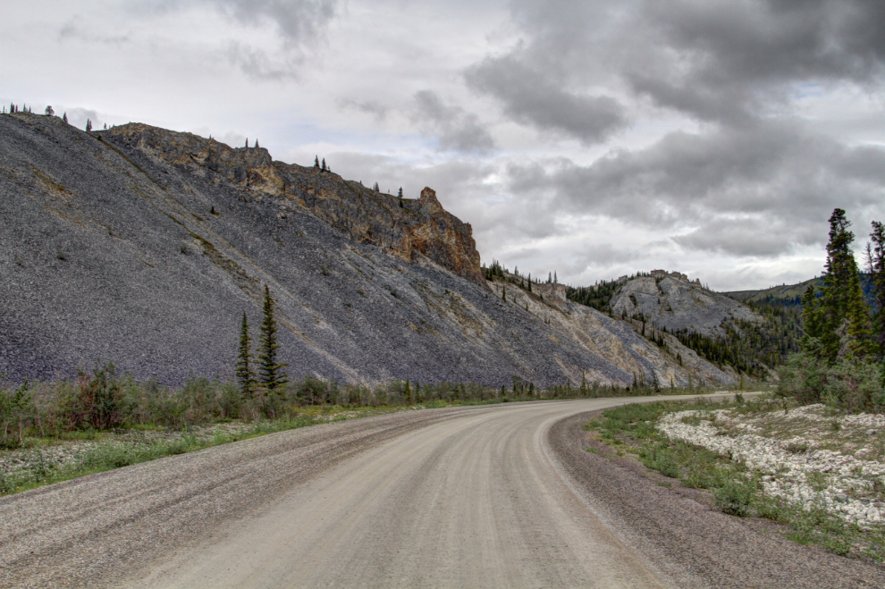
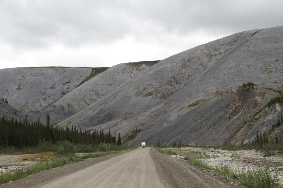
The view to the north at the Km 96 post. The country changes quickly north of North Fork Pass, and I always suggest that people go to at least Chapman Lake (Km 116) to see the difference.
This communications tower, painted to blend into the hills, is accessed by a side road about a kilometer long.
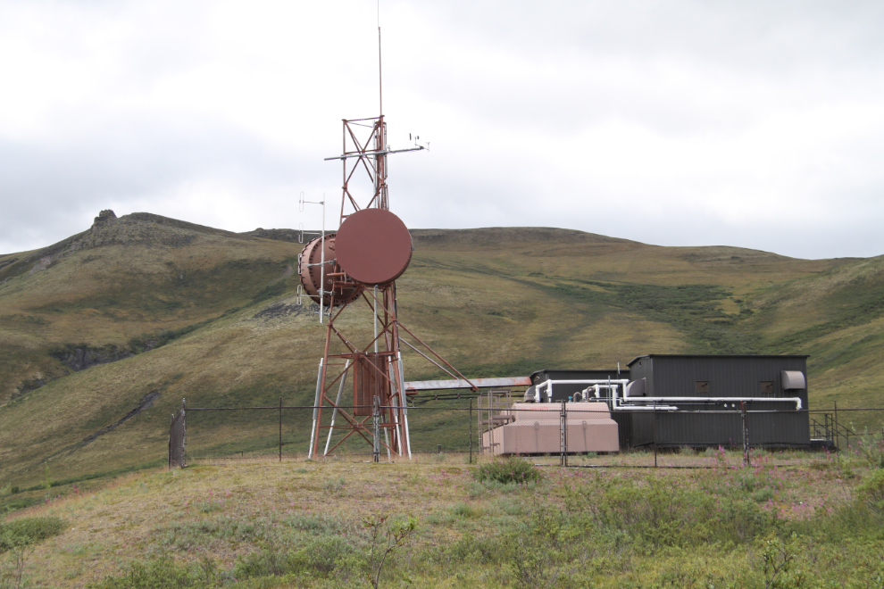
From the communications tower, the vast views are wonderful. This is an HDR image.
We turned around at this point just north of Windy Pass, at about Km 158. It’s a really unique area, and is now the furthest north that Cathy has been on the Dempster. My plan for next year is to drive right to Tuktoyaktuk on the new road, though, to complete her Dempster experience.
Looking south to Windy Pass.
The view to the west from Windy Summit, which is 1,060 meters high (3,478 feet).
We went to our first Geology Weekend presentation that evening, but I’ll tell you about that in the next post, to keep all the Geology Weekend information together.
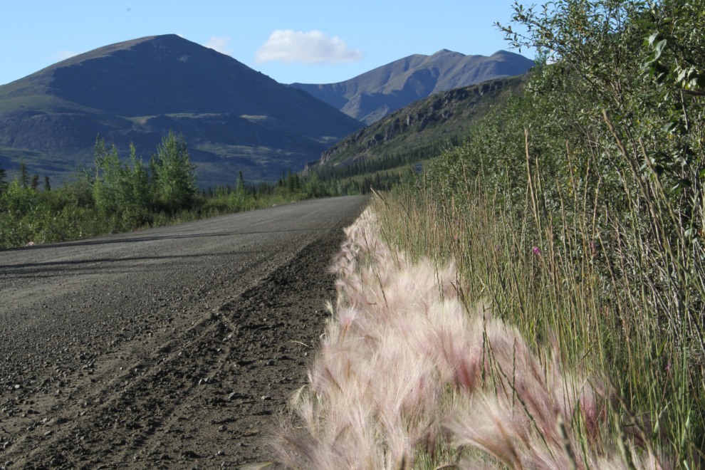
We woke up on Saturday morning (August 5th) in glorious sunshine. As well as a long dog walk, I went to re-shoot some of the photos that I’d shot on the previous cloudy days. The light on the foxtails along the highway was great.
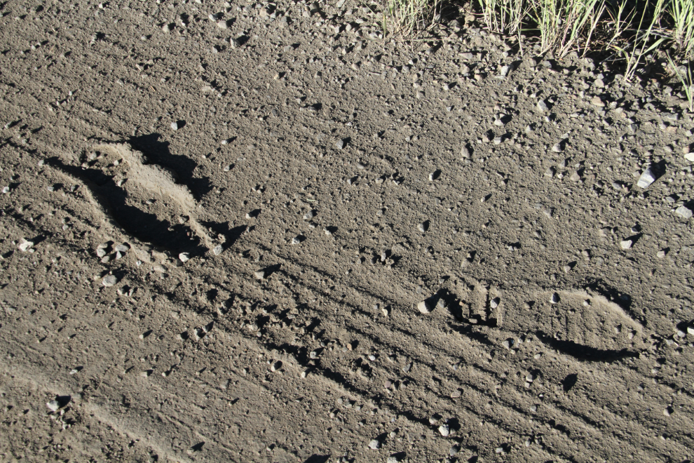
These muddy footprints along the highway give an indication of what the conditions can be like when it’s wet.
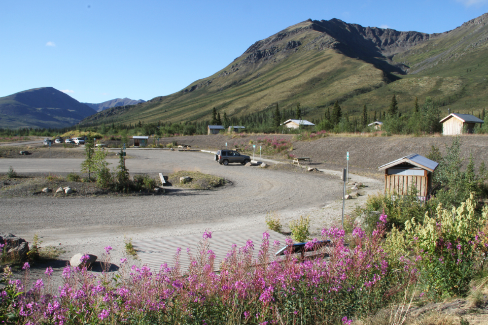
The interpretive centre.
The interpretive centre parking area.
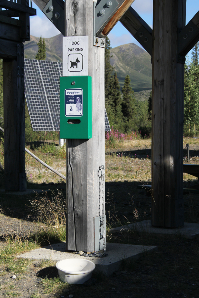
And “Dog Parking” at the interpretive centre, with tie-out chain, water bowl, and cleanup bags. There’s separate “parking” for 4 dogs.
Then, it was all about rocks for the rest of the weekend. Yes, Tombstone Rocks! 🙂