An RV getaway to Dawson City
Cathy and I finally got away for a few days. We’ve had awful weather this summer, and I’m not feeling particularly well – when you add COVID-19 concerns, the thought of travelling just hasn’t been as exciting as it usually is.
Getting the rig ready took much longer than expected, and we didn’t get away from home until 2 pm on Monday (August 17th).
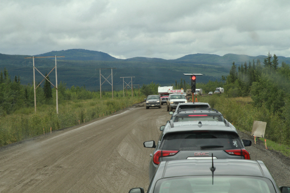
We had a 15-minute delay waiting for a pilot car to guide us through 5 km of construction near Braeburn. Southbound traffic was very heavy – the Discovery Day long weekend had obviously been a busy one in Dawson.
We stopped for excellent burgers at the Coal Mine Campground at Carmacks. We had originally planned to go to Kluane Lake, but a much better weather forecast for Dawson changed that plan at the last minute. At Carmacks, we got messages from 3 friends telling us that the Alaska Highway was closed due to mud slides just before Kluane Lake. Dodged that bullet! 🙂
I didn’t have any real plans for a destination, but as we neared the Tatchun Creek Campground, I knew I was too sick to go any further. That’s only 220 km from home – a very disappointing first day.
After getting set up in drive-through site #11, I laid on the couch for a short nap at 6:00. An hour later, though, I moved to the bed, and woke up at 08:00 – it took 14 hours sleep to recover from the previous day.
Tatchun Creek Campground only has 12 sites, and doesn’t seem to get much use. There was only one other camper that night, a couple from BC.

These COVID-19 warnings are at the entrance to every Yukon campground this year. They say “Non-residents who are required by law to travel through Yukon within 24 hours cannot stay or stop in government-run campgrounds. No one may self-isolate in a territorial park or campground.”
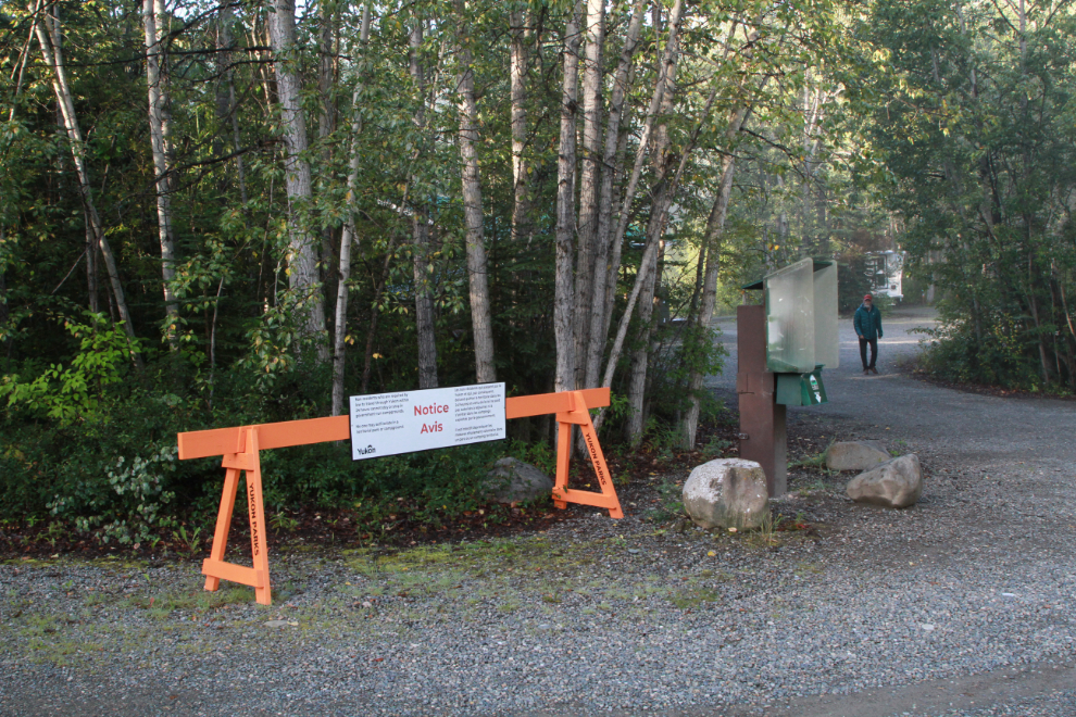
I was surprised to see that new bear-proof caches have been installed. That’s a great amenity for people tenting with no vehicle to lock food and other attractants in.

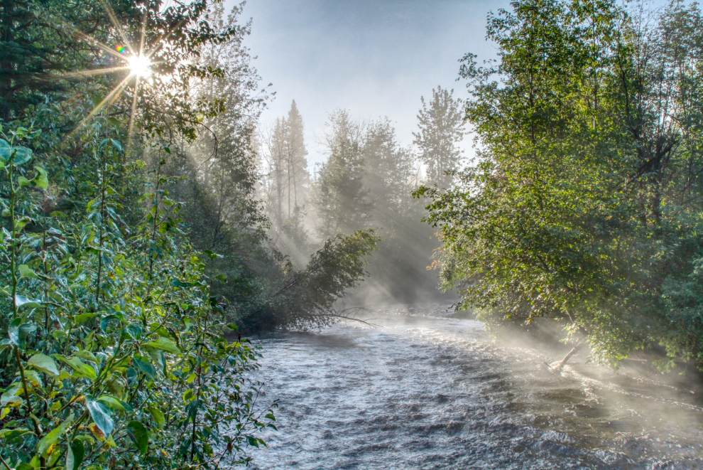
Tatchun Creek was very high, but the morning sun and mist kept me there taking photos for a few minutes.
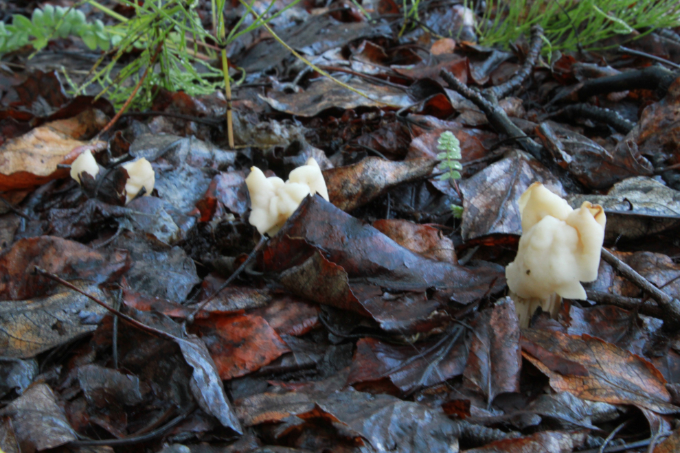
I’m seeing many mushrooms this year that I’ve never seen before, including these ones along the campground ring road.
We pulled away from Tatchun Creek Campground at 10:10 Tuesday morning – it looked like a beautiful day was ahead. We made a brief stop at the viewpoint at Pelly Crossing. One of my Yukon History and Abandoned Places group members had posted a few days earlier that the plaque on the monument there was gone. It is indeed. It said: “Pelly River. Named in 1840 by the explorer Robert Campbell for a governor of the Hudson’s Bay Company, the Pelly River later became the final stage of an overland route from Edmonton to the Klondike charted by Inspector John Moodie of the Mounted Police in 1897-98. In 1898, the Yukon Field Force marched 500 miles to the Pelly from Glenora, B.C. to reinforce the police in the Yukon.”
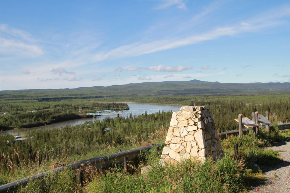
At noon we stopped at Stewart Crossing for lunch, a dog walk, and a 1-hour nap for me.
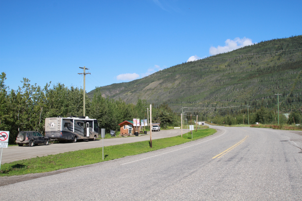
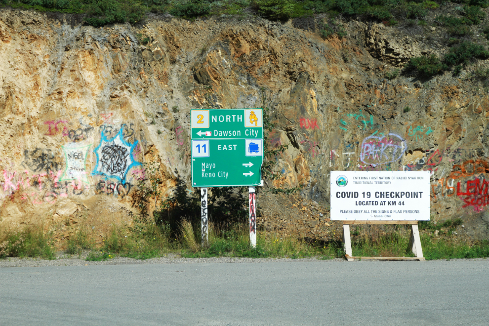
At the north end of the bridge at Stewart Crossing, travellers turn left to go to Dawson, right to go to Mayo and/or Keno. The sign on the right in the next photo indicates that there is a COVID-19 checkpoint on the highway just before Mayo, set up by the Nacho Nyak Dun First Nation.
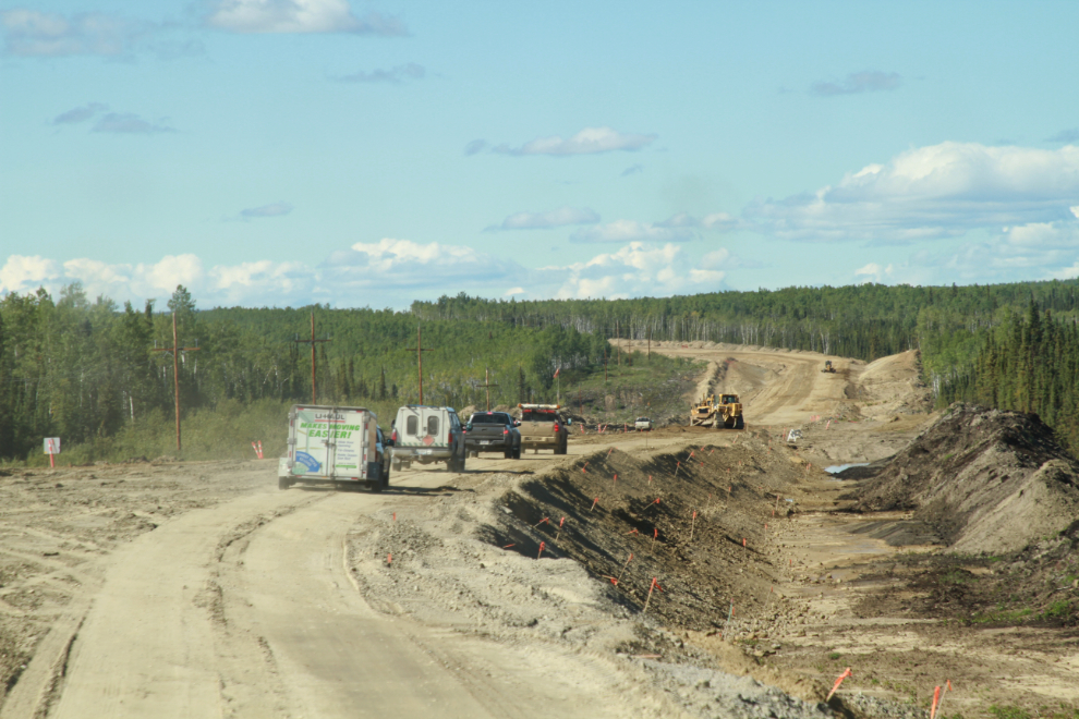
An hour north of Stewart Crossing, we reached another stretch of construction with a wait for a pilot car. This one is 8 km long, and was much rougher than the first one had been. The next photo was shot a couple of minutes before 3:00 pm.
Our next stop was at the Tintina Trench Rest Area. I took another half-hour nap there.

There was a COVID-19 checkpoint on the highway just before reaching Dawson. They noted our names and asked what our plans were, and we were on our way again in 3-4 minutes.
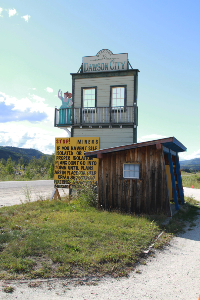
At 5:30, we were crossing the Yukon River on the ferry George Black. Almost “home” 🙂
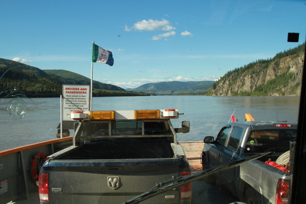
The best of the riverfront campsites at the Yukon River Campground were taken, but site #50 is good as well. This is the largest campground in the Yukon, with 102 campsites. There were perhaps 15 of them used that night.
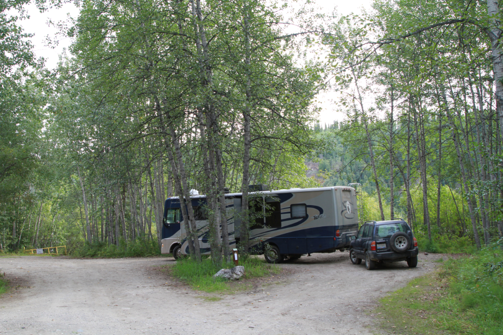
At 09:30 Thursday morning, I walked down the Yukon River to the “Sternwheeler Graveyard“.

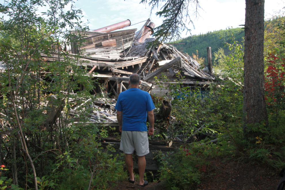
The Sternwheeler Graveyard is the former Canadian Development Company shipyard, where there were 4 sets of ways for repairing and wintering steamboats and barges.

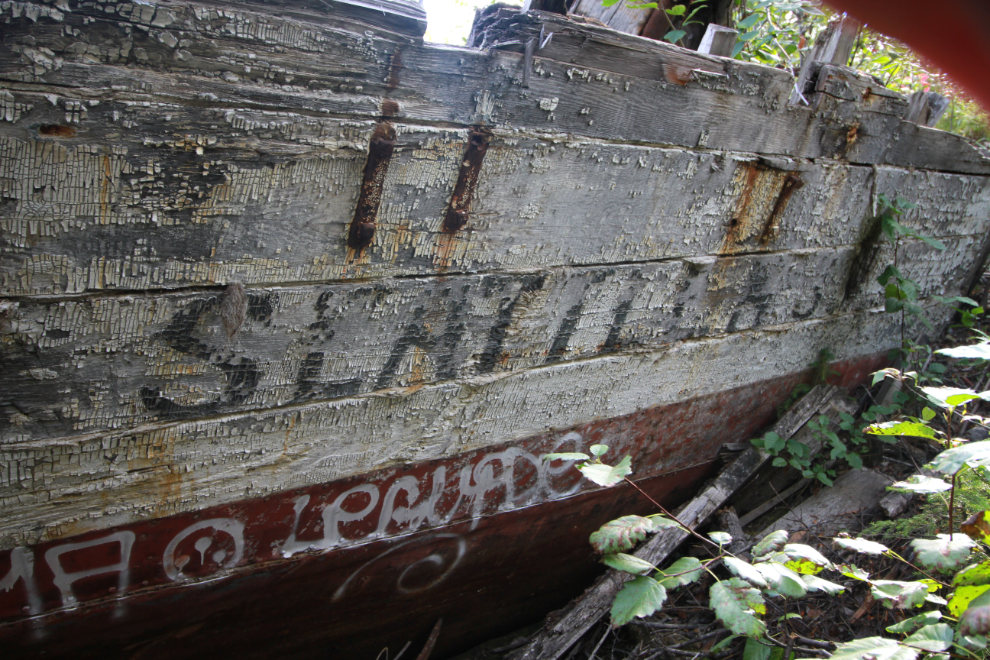
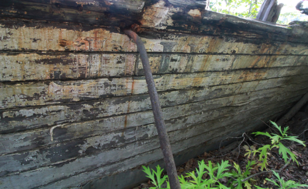
On the second set of ways, which is the one clearly seen from the river, are (from the river) the Julia B., Seattle No. 3, and Schwatka.

The aft interior of the Seattle No. 3.
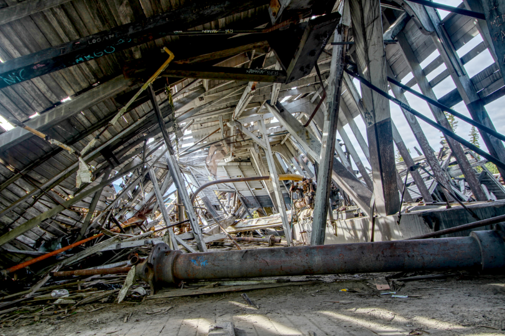
The deterioration of the boats in the 30 years I’ve been visiting the site is sad to see. More and more I photograph details, as the broad views turn into a jumble of scrap steel and lumber.

The boat name on the starboard bow of the Seattle No. 3.
The name of the Julia B. is just barely legible now, and perhaps only then if you know what the name is.
We had a very lazy day, finally pulling away, headed up the Top of the World Highway, at 2:00 pm.