A walk on the Airport South trails
I needed to go into town yesterday to pick up a couple of things, so took my hiking and camera gear with the idea of putting about 4 km on, though I didn’t have a plan for where that might happen.
Nothing inspired me and I was on my way home when I decided that the trails at the south end of the airport would be good. The access to them from across from the weighs scales is still posted “No Public Access” or some such thing, though the construction that prompted that 3 years ago is over. I decided that I still wanted to hike those trails, though, so went to the more difficult access, at the Robert Service ball fields. My Strava page will show you this wander.
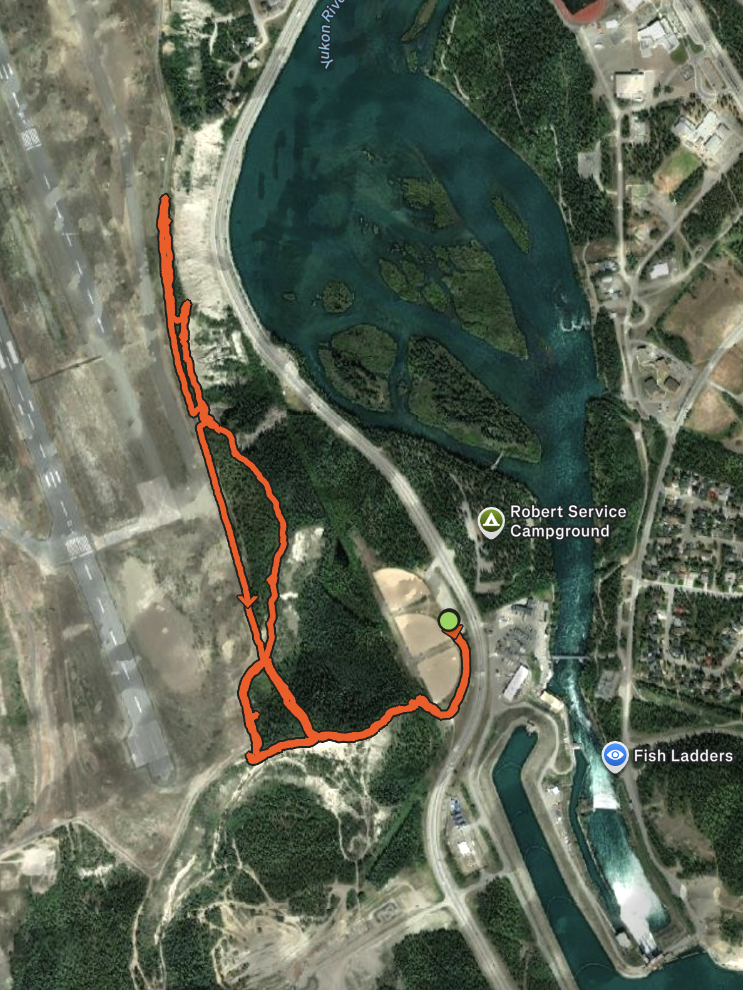
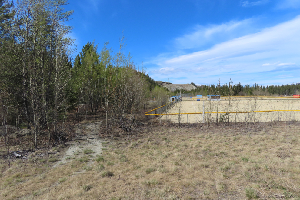
The actual trail starts behind the south end of the ball fields.
The climb to the top of the escarpment is very steep, with an elevation gain of about 35 meters (115 feet). That’s enough to greatly reduce the amount of use these trails get 🙂
I wore the barefoot shoes I got on Tuesday (Bearefoot brand). They’re a very different feel from normal shoes, but I like them a lot. They weigh pretty much nothing, and this hill proved that the soles have excellent grip.

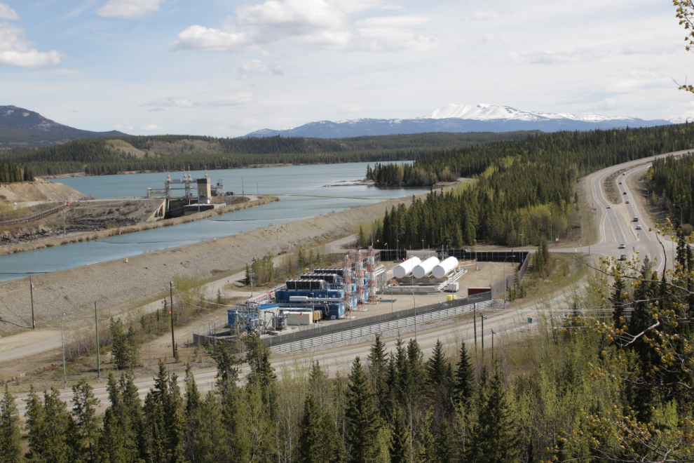
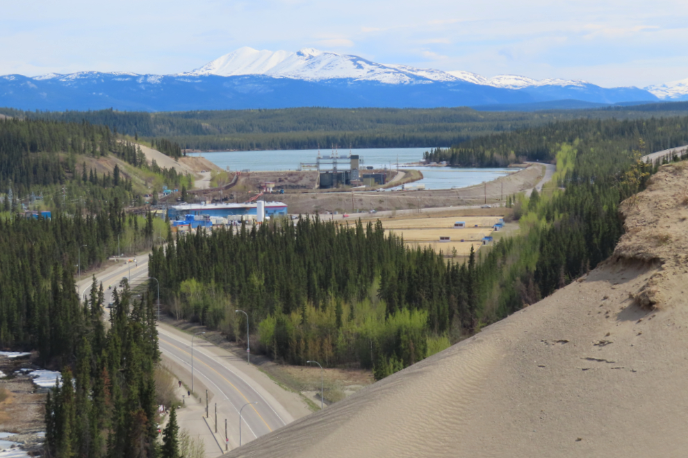
The top of that hill provided an excellent panorama of Yukon Energy’s facilities, from the offices and control centre on the left to the diesel generation plant, the hydro dam, and the LNG generation plant. This is 3 photos stitched together.
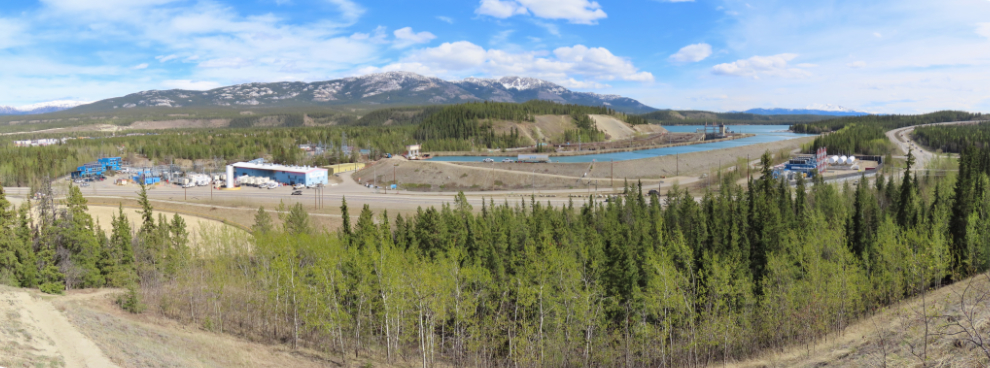
A closer look at the dam, the LNG generation plant, and Robert Service Way, formerly just known as the South Access (from the Alaska Highway to downtown).
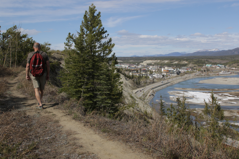
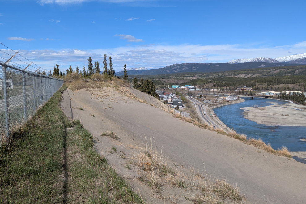
Up top, you soon get a choice of walking on the road along the airport perimeter fence or on narrow trails through forest and open areas along the edge of the escarpment.
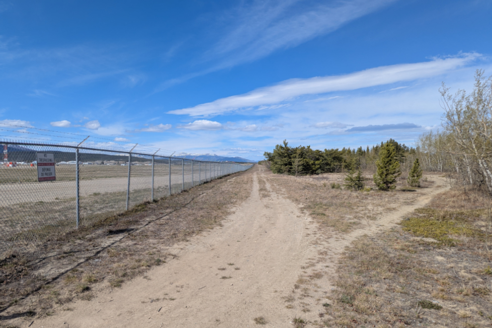
I chose the narrow trails, as I usually do.
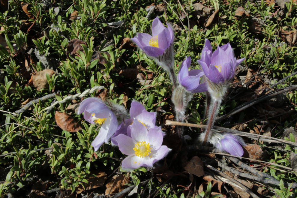
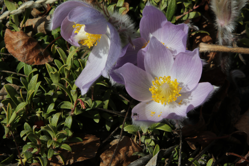
There were a lot of Prairie crocus along the trail, and a few tiny yellow flowers that I didn’t get a photo of.
This panorama is one of my favourite views in Whitehorse.
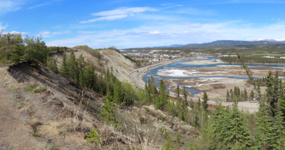
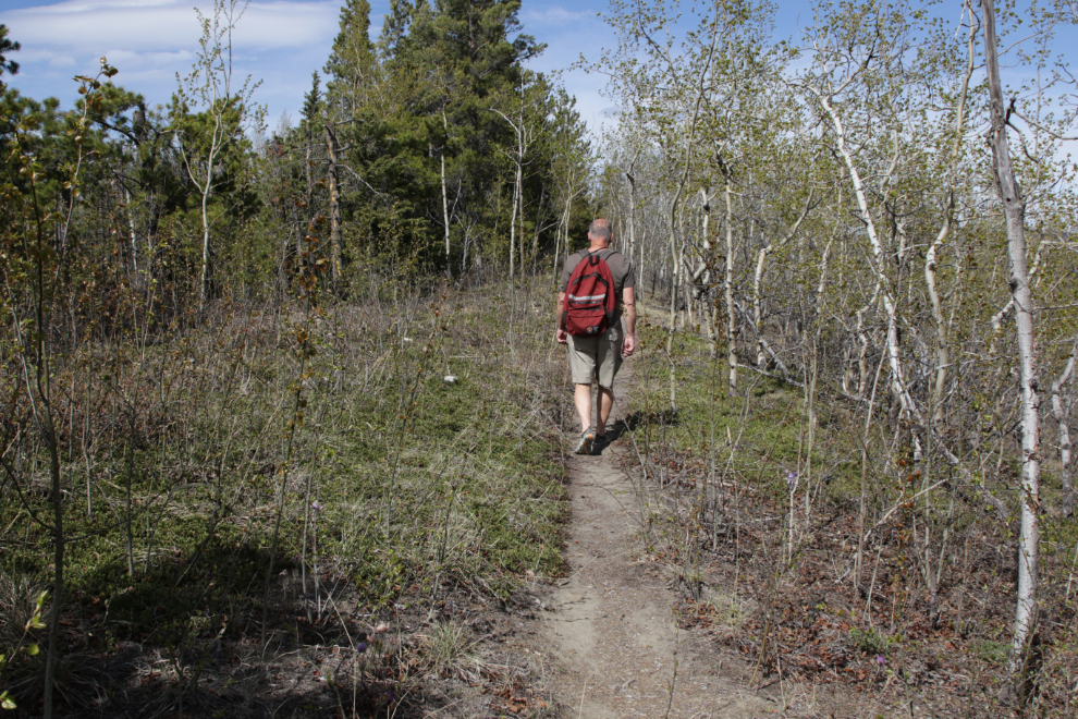
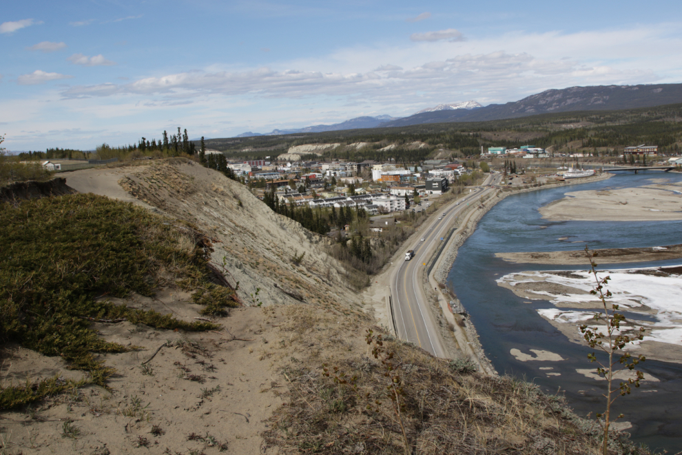
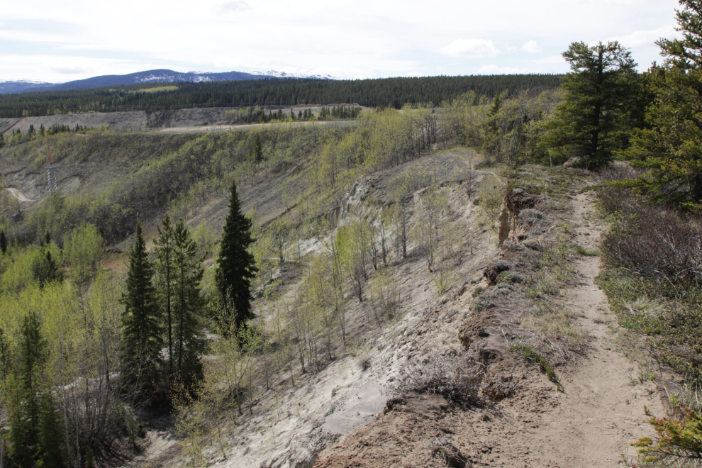
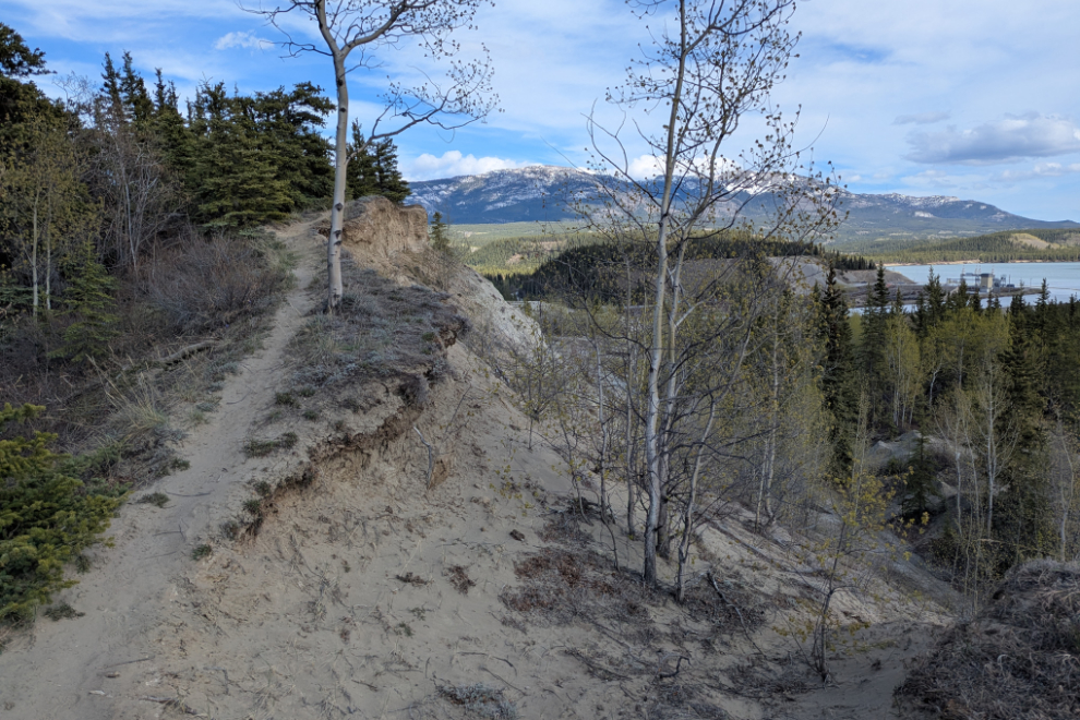
The next photo perhaps best shows the reason I enjoy these trails.
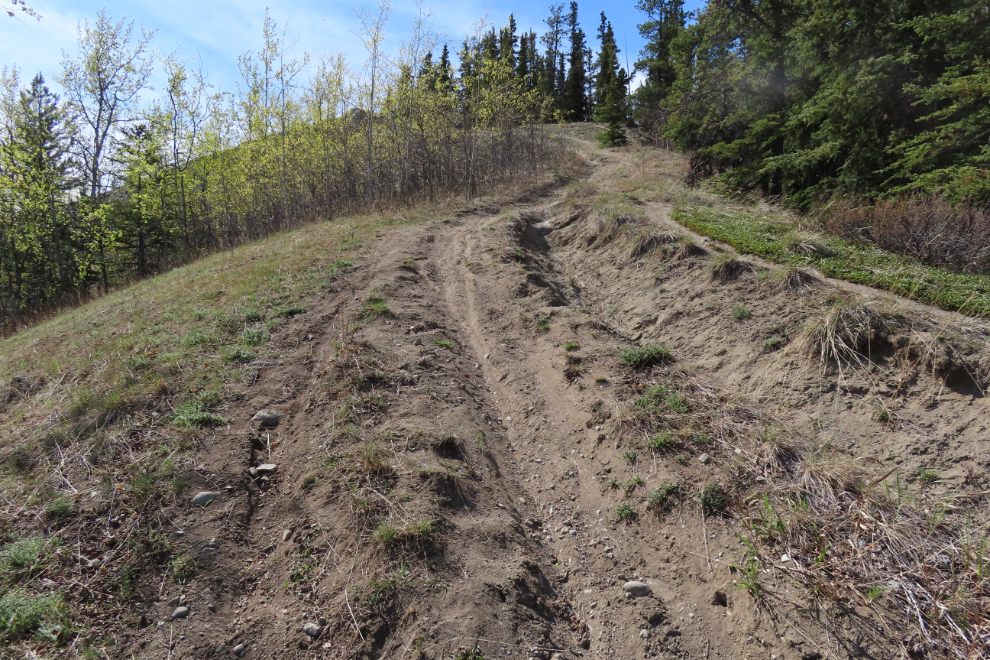
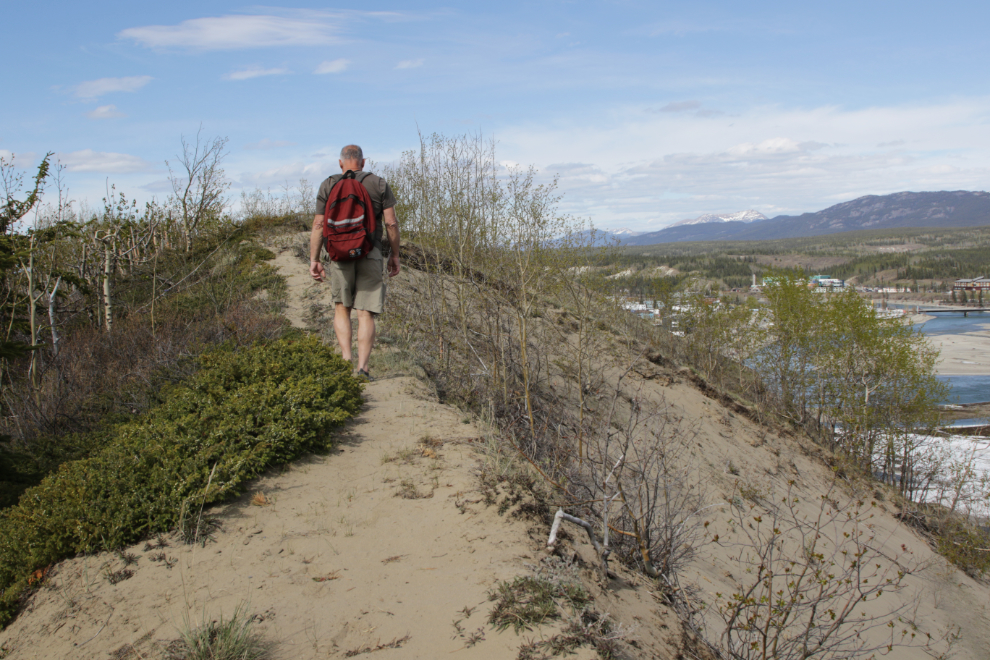
The next photo shows a section of the trail that climbs up a ridge that I expect was left when the airport area was levelled.
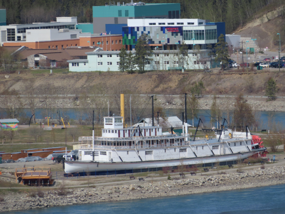
A telephoto shot of the S.S. Klondike and the Whitehorse General Hospital.
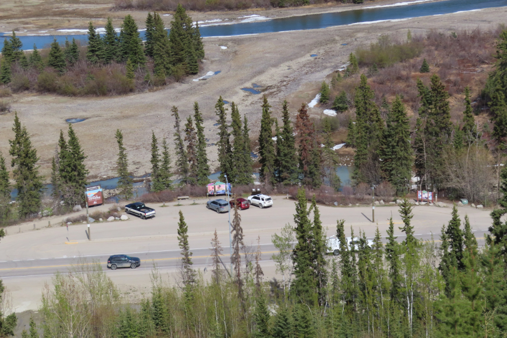
Looking straight down at the Welcome to Whitehorse viewing area, which is also one of the access points to walk the 5-km Millennium Trail loop.
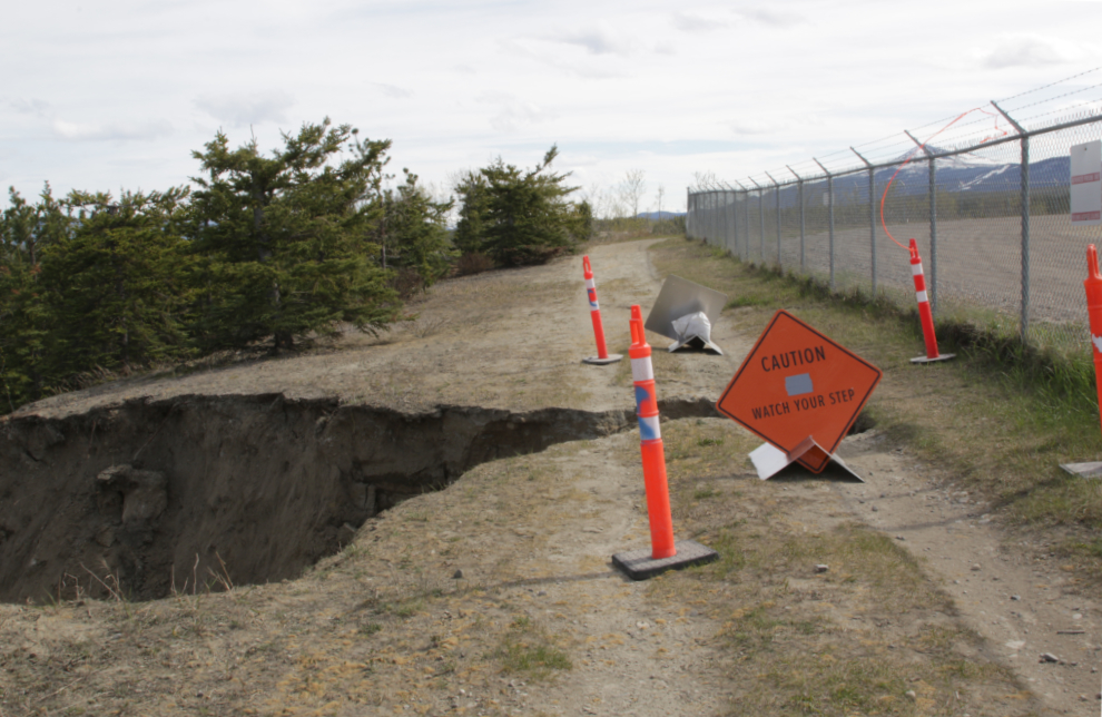
This section of the trail along the ridge ends abruptly at a landslide just ahead, and it’s a very long way down if you keep walking!
From there you have to double back 100 meters or so and then cut through the bush to the airport perimeter road. That road, too, is soon cut by a landslide. I chose to end my walk here, and started back.
From that slide, the view over the dam to Schwatka Lake and Mount Lorne.
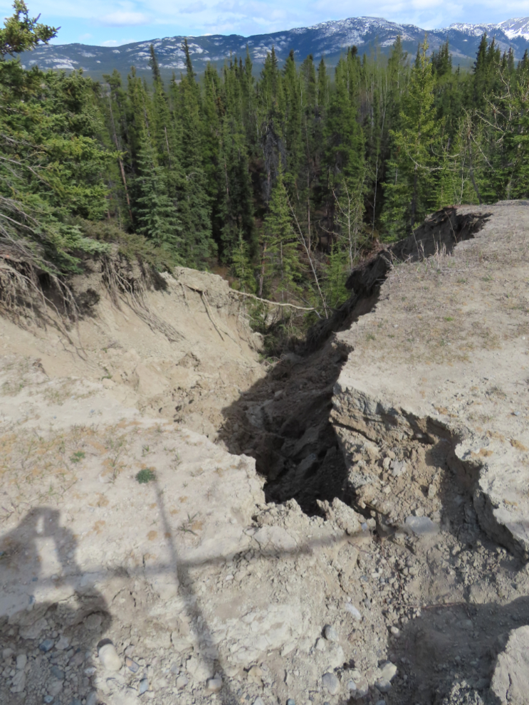
I wanted to make this walk over 4 km long, so when I got back to the trail I had climbed the escarpment on, I continued on the airport perimeter road for a few hundred meters. That brought me to yet another landslide, this one looking quite recent.
I walked a bit past that slide, then turned back and headed down the trail back to the car. But I had one more detour to make, along a little-used trail on a narrow bench just below the airport level. That was just enough to get me to 4.5 km by the time I got back to the car.
The City says “There is an estimated 230 km of trails of city-wide significance, and over 850 km of local and neighbourhood trails used by Whitehorse residents.” This is an example of how good some of the “local trails” are 🙂