Hiking the Erosion Pillar and Alaska Highway “Cut” Trails
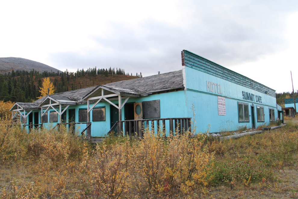
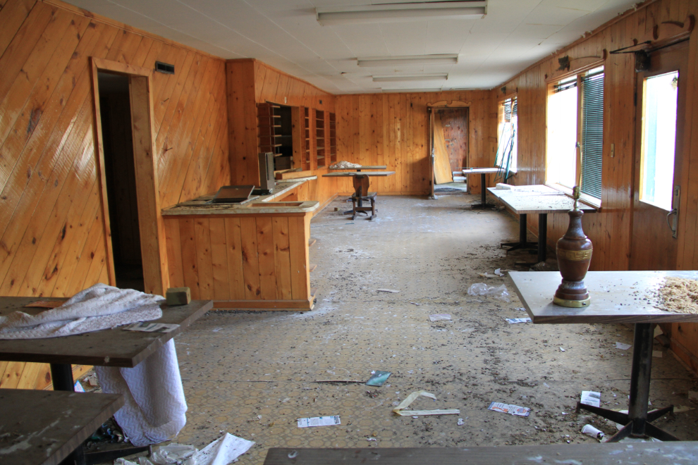
Our first destination after leaving Summit Lake Campground in the Tracker was Summit Lake Lodge, which was closed for almost 25 years – I vaguely remember it being open the first year or two that I ran the highway (1990-91).
I had planned on driving up to the microwave tower above Summit Lake – there was no gate the last time I looked at it 🙁 It’s a 12-km, 4-hour hike, far more than we were up to this late in the day.
There are several hikes that look good nearby, so we headed north again, along the lake.
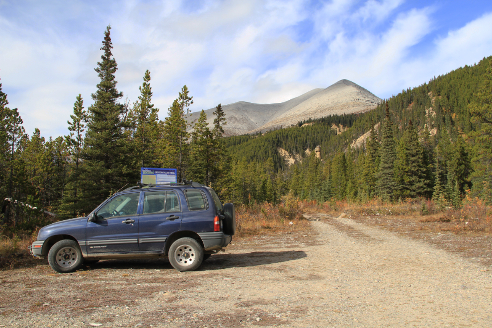
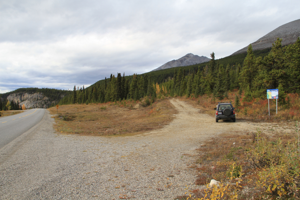
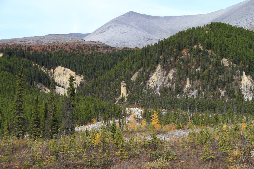
Erosion Pillar Trail at Km 601.5 looked interesting, though I quickly realized that with the Tracker we could have driven most of it. It’s only 1 km return, though – a nice easy walk unless you climb up beside and/or above the main erosion pillar (“hoodoo”).
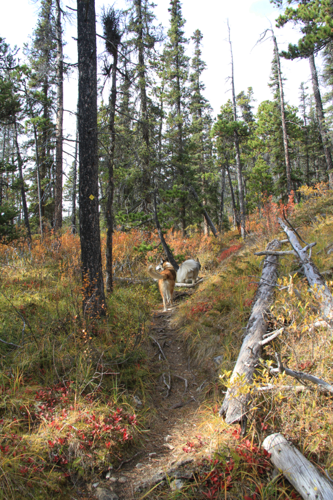
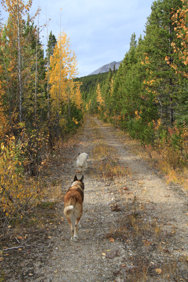
When the road ends, the short trail through the forest is very pleasant.
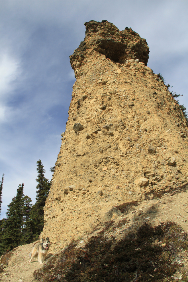
The hoodoo is quite impressive – Bella is standing at the lower left on the very steep and loose trail.
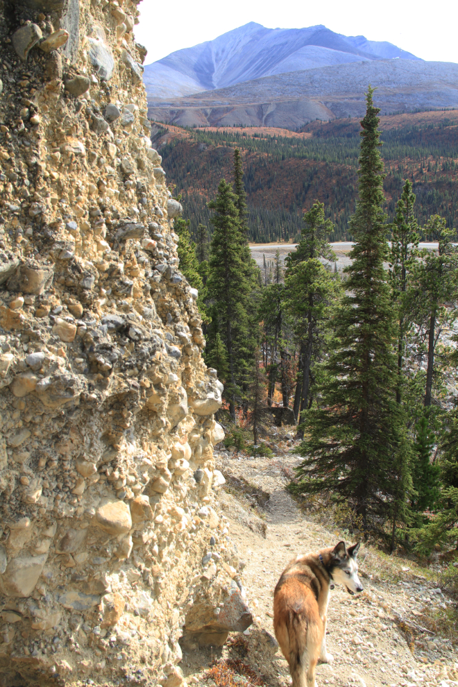
The view from near the top of the hoodoo.
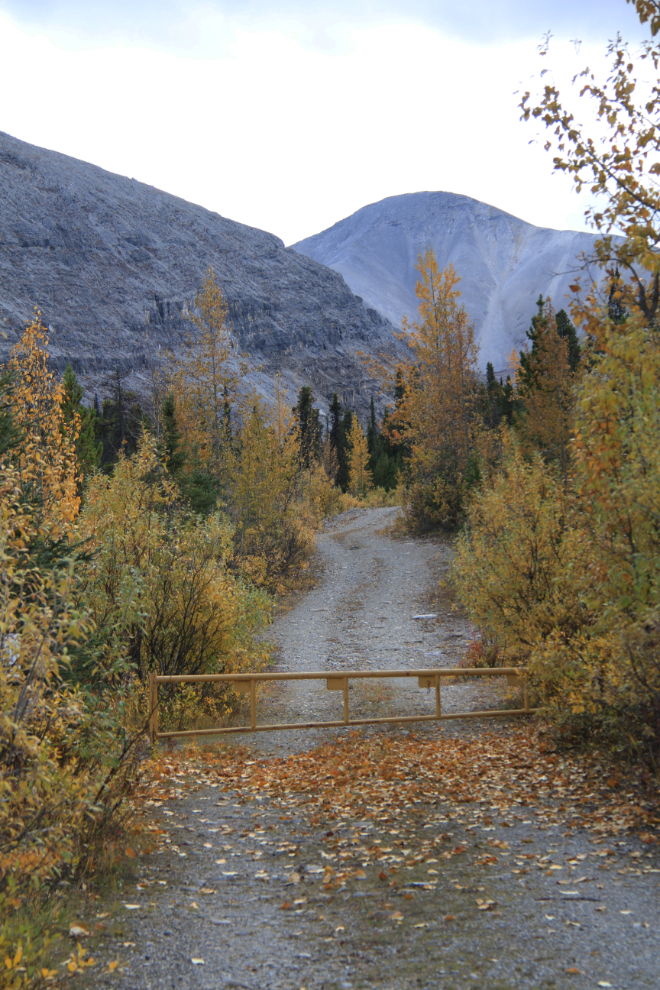
The trail that I really wanted to see was the “Cut” Trail, a section of the original highway far above this dramatic section of the current road at about Km 604.
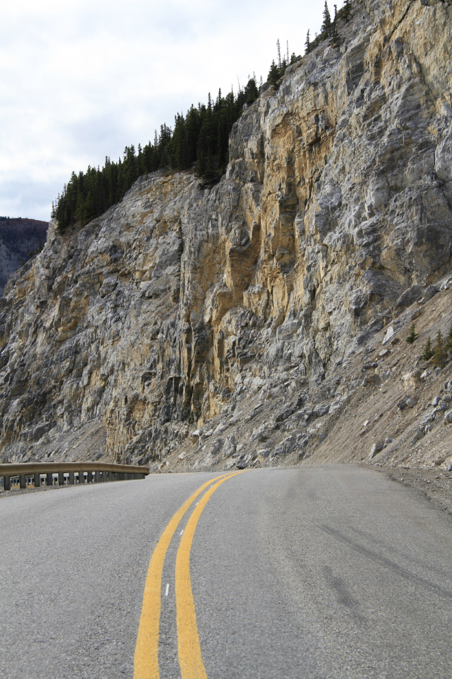
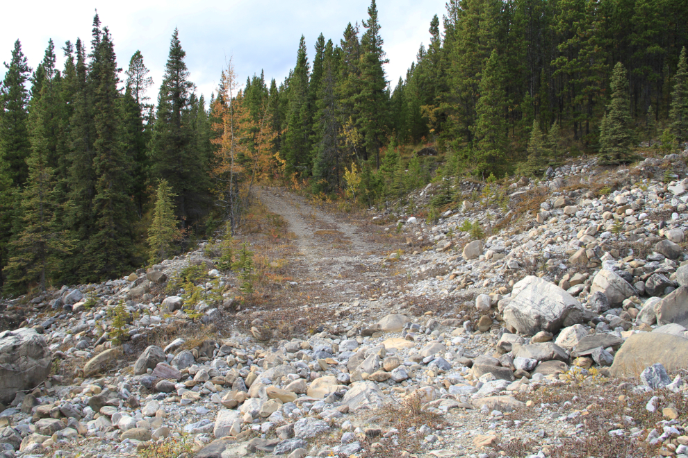
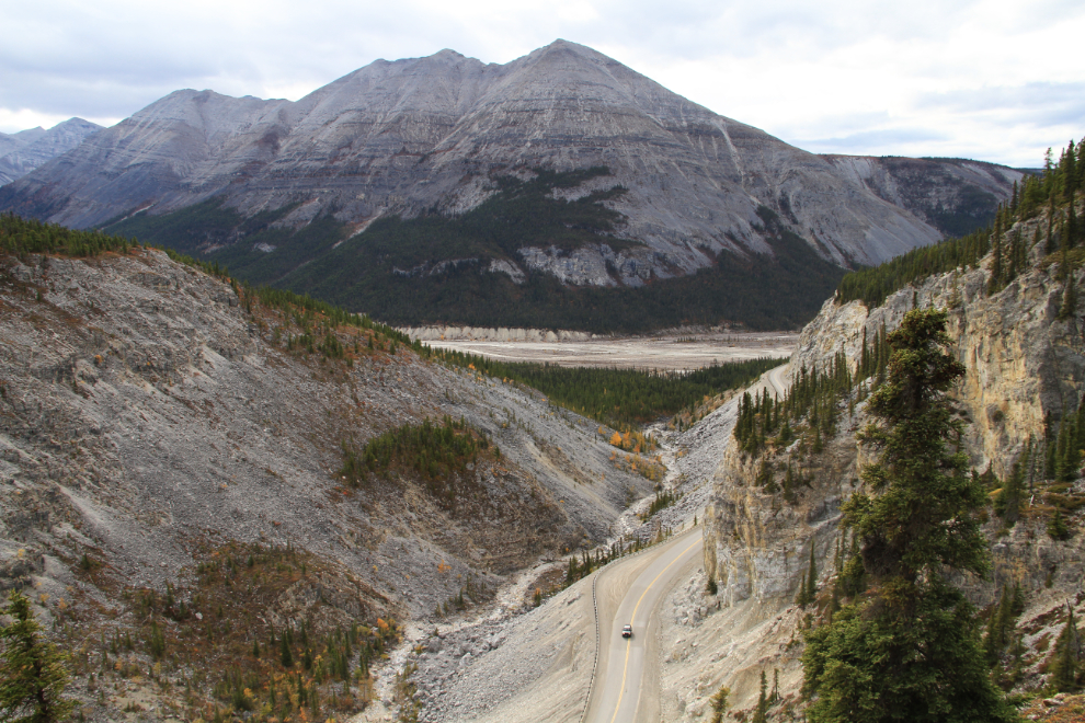
Looking north from about Km 603, with the new highway on the left, the old one on the right. The old road has been cut with a ditch, but some vehicles with very high clearance have gotten across it. The entire trail is 6 km long but I only planned to walk the first kilometer or so to a viewpoint above the new highway.
It’s a very nice walk.
Seeing this, all I could think of was what it would do to the highway below at peak flow, as it looks like it ends in a waterfall. When I went down later, it actually drops a manageable distance from the road and just flows through a culvert.
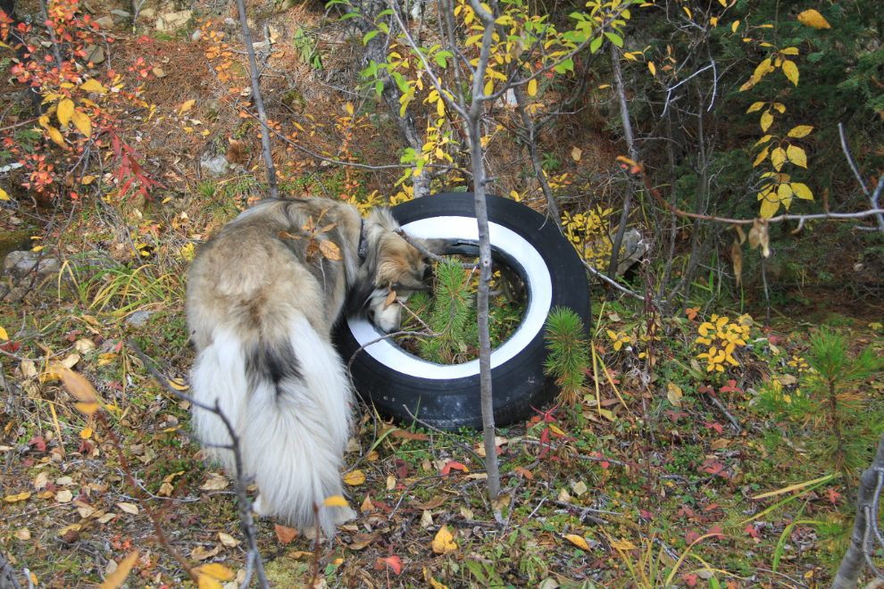
The only artifact I saw along the trail intrigued Bella in both directions of the walk. I didn’t check to see what attracted her.
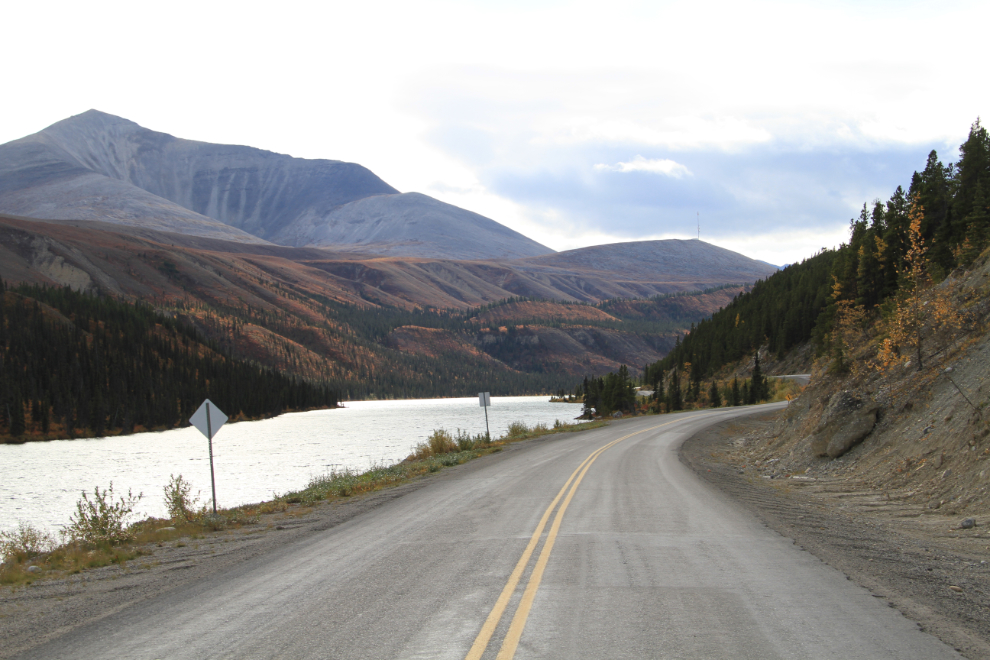
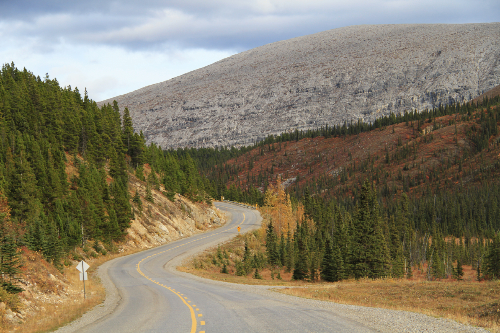
This is the view that I came for, looking north on the highway to the MacDonald River valley. The entire hike only took us half an hour.
This is the hoodoo we had hiked up to an hour before, seen from the highway.
A wonderful palette of colour just below Summit Lake.
We got back to the campground at 6:00, and I was a bit surprised to see the only other RV there had parked in the site right beside mine. I was much more surprised to find that it belonged to friends from Whitehorse! I didn’t know that they were travelling, and I hadn’t planned to stop here, so it was a pretty amazing coincidence.
Monty, Bella and I were all exhausted from what had turned into an extremely busy day. I fed Molly dinner, and we were all in bed by 6:30 🙂
I got everybody up at midnight, though, and we all had dinner and a couple of hours of quiet family time before going back to bed until a more reasonable hour. Stopping short had added another hour and a half to the next day’s drive to Dawson Creek, but as well as all the exploring we’d done, seeing Sue and Steve was wonderful.