Icebergs and an abandoned mine in Greenland
This is blog post #20 from our tour of northern Europe. Monday, July 14th, was technically our third “at sea” day from Iceland – that is, we didn’t touch land. But as with yesterday’s incredible day in Prince Christian Sound, today offered much more than open sea. We got our first look at lots of large icebergs, and a pretty close look at the abandoned Ivittuut cryolite mine.
Although I was at my work station on Deck 9 just after 04:00 as usual, I went back to bed, and my first photo of the world outside wasn’t shot until 07:55 as Cathy and I were getting ready to go for breakfast.
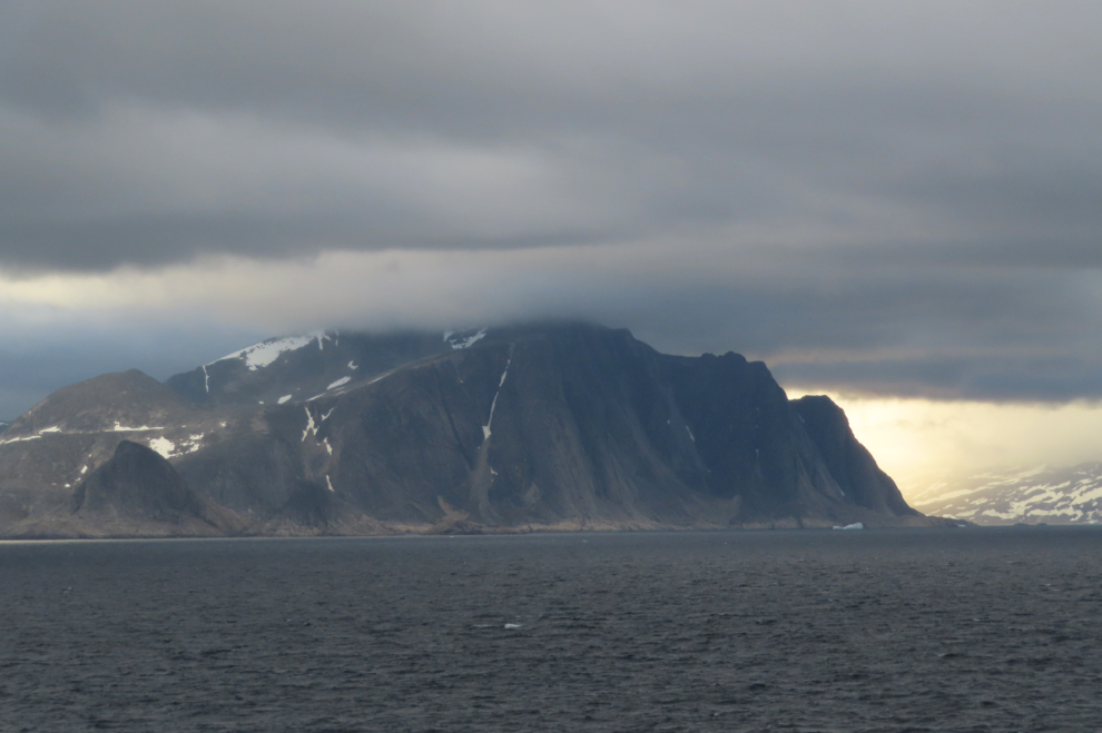
What an amazing combination of sea, sky, and mountains to start the day with.
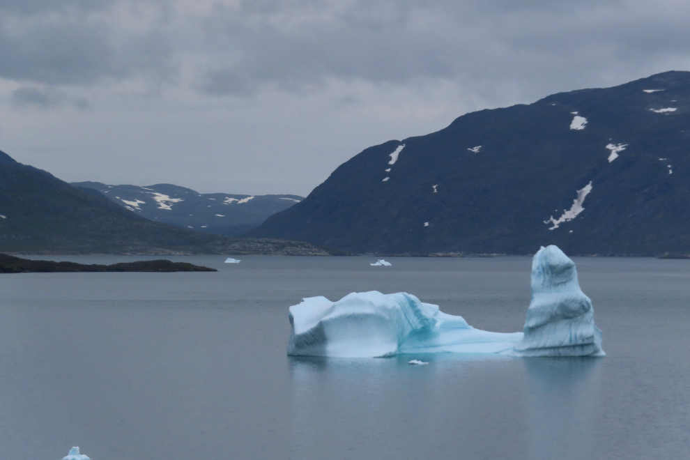
Yes, let’s add a large iceberg to that image.
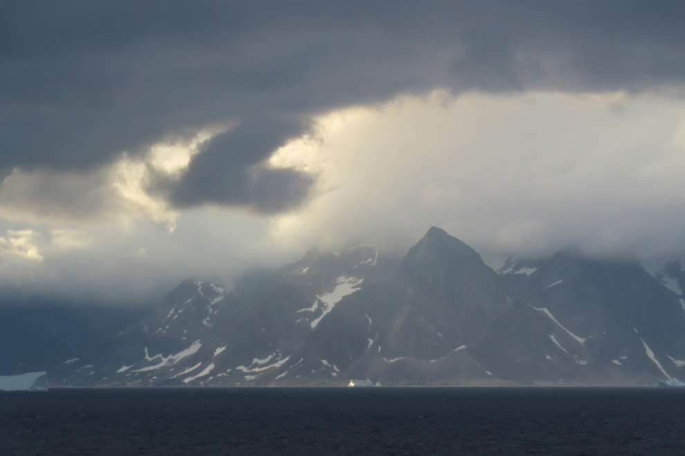
Okay, Mother Nature, now you’re just showing off. Yes I love you 🙂
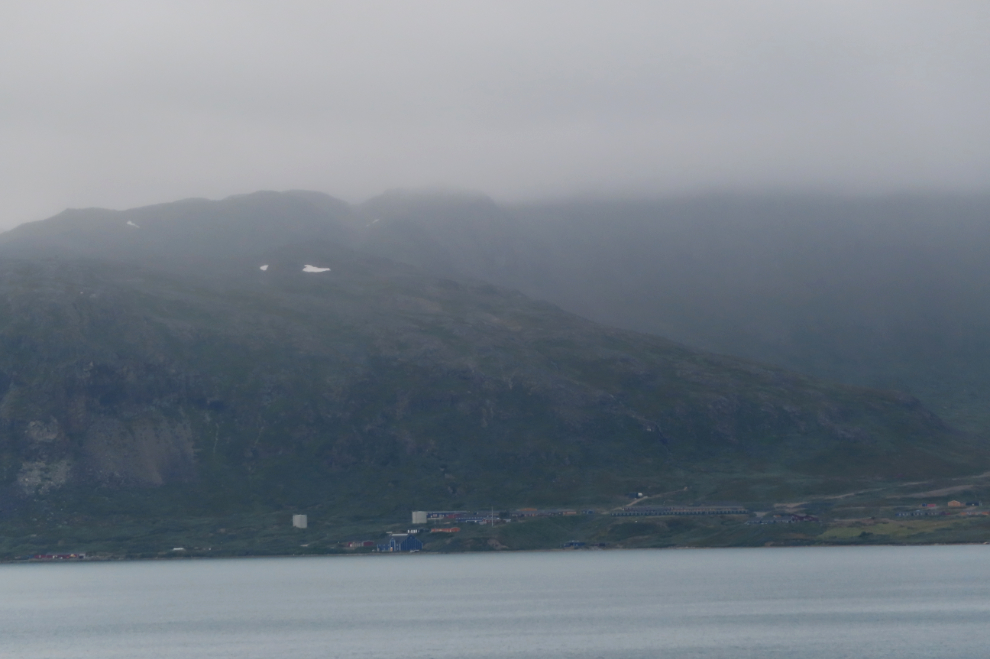
It was now 10:35, and we were turning into a fjord. Something about a town (I can rarely understand ship announcements).
A community of some sort (it’s Kangilinnguit) could be seen ahead a few minutes later, but I saw nothing too intriguing yet.
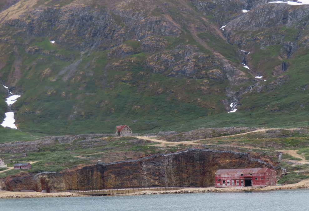
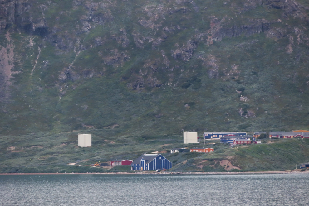
Oh!! At 10:48 a bay appeared with what was obviously a very old mine. Now the shore had my attention.

Scanning the buildings, I quickly realized that this wasn’t just a very old mine, it was one with a very long history, with structures from the 1920s through fairly recent times.

At 10:57, an old now-flooded open pit was directly out from our cabin. This would have been the start of the mine.

Cathy spotted a couple of doors to the left of the pit. Adit and powder house?
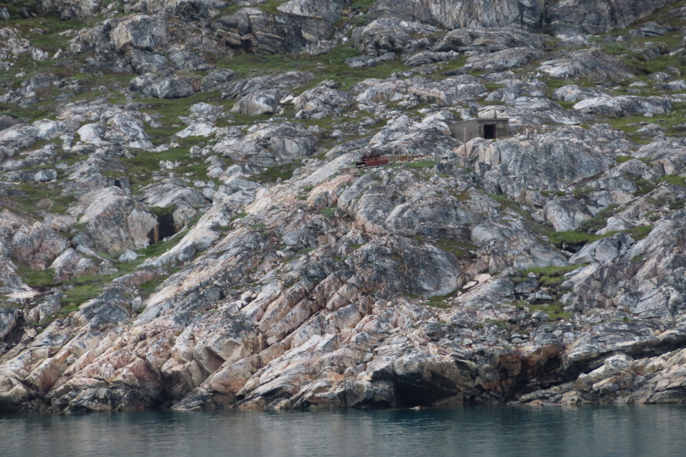
The ore car and concrete foundation with mounting bolts suggest an adit, with a compressor.

Back to the main mine site. This was the Ivittuut mine, which from 1854 until 1987 produced cryolite (Na3AlF6, sodium aluminum fluoride), which is used extensively in the industrial production of aluminium. However, naturally occurring cryolite is rare, and the vast majority of it is produced synthetically, by combining sodium aluminate and hydrofluoric acid.

This building is probably where the ore was processed for shipping.

Seeing the cemetery made me want to know a lot more about this mine/community, but that will have to wait until I get home.

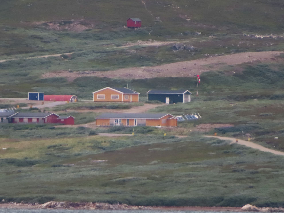
The community I first saw further up the fjord is a U.S. Army post and Naval base built during World War II, known eventually as Bluie West Seven. It was taken over by the Danish Navy’s Greenland Command, but is also now abandoned. The community of Kangilinnguit may still be functioning there.
Although there’s a wind sock showing in this photo, Google Maps shows a tiny field and a helipad.
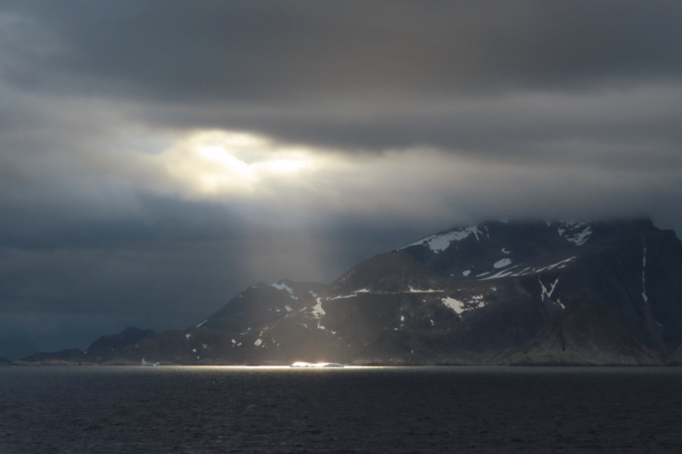
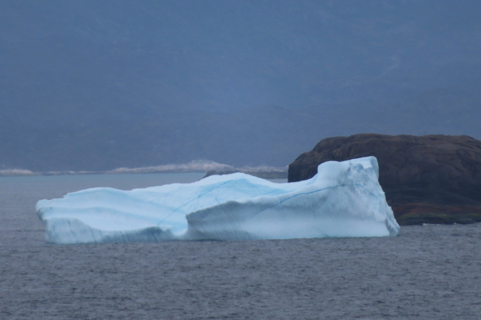
We stayed at Ivittuut for long enough to have a really good, if rather distant, look at it. The next two photos were shot along the coast at 12:35.
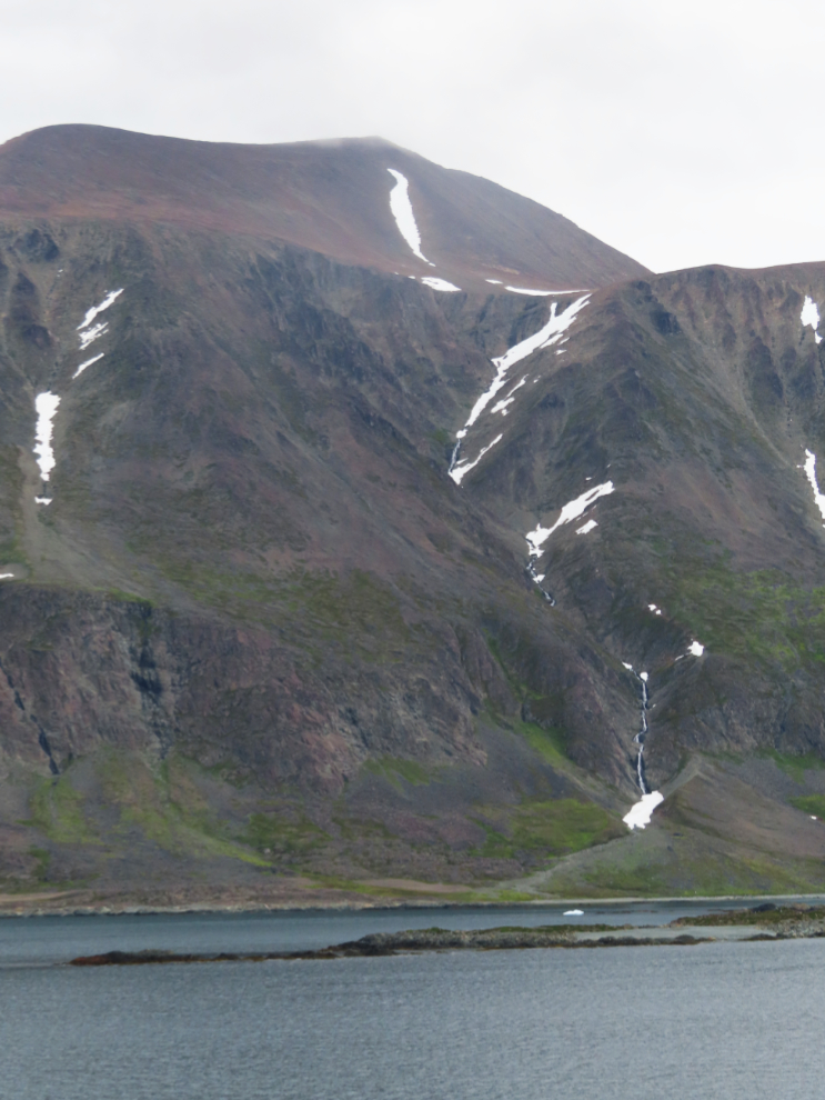
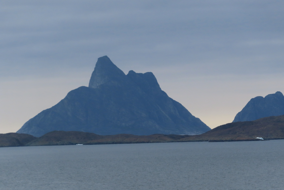
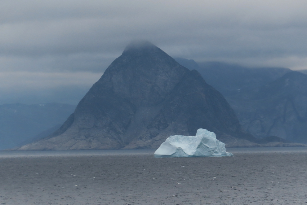
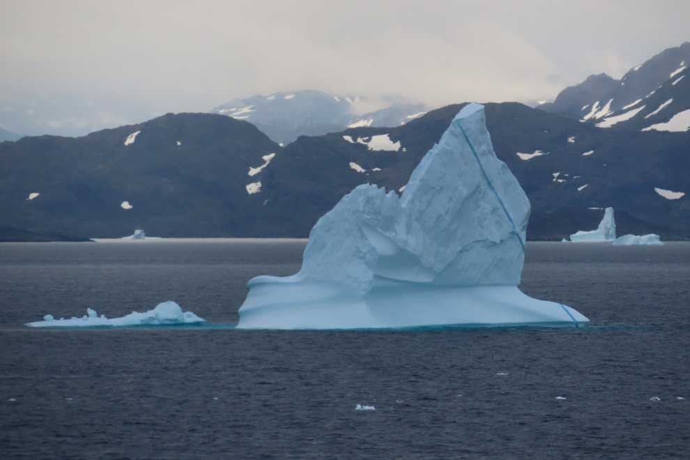
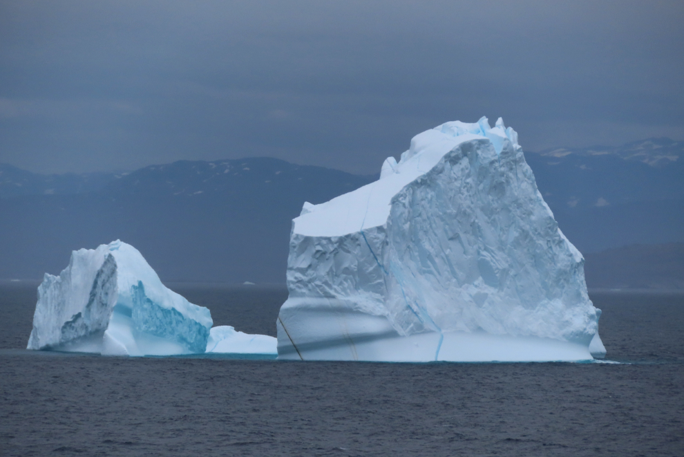
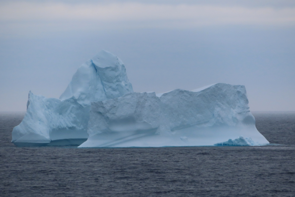
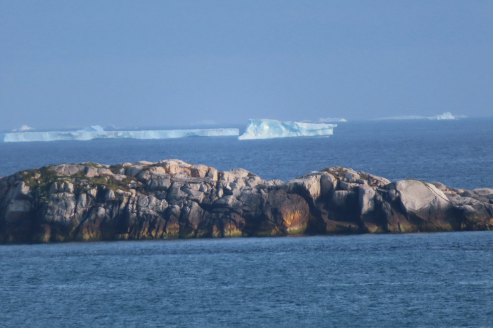
As we sailed north over the next few hours, we passed a lot of large icebergs – and yes, I took a lot of photos 🙂
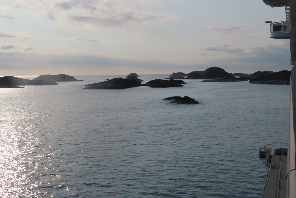
Just before 8:00 pm, we stopped at a spot surrounded by rocky islands. No community was visible, but it eventually became clear that somewhere out there was the community of Paamiut, which we would get to visit the next day.
It looked like a huge piece of shore ice had broken off south of us and was headed slowly out to sea. Perhaps our arrival time had taken it into account.
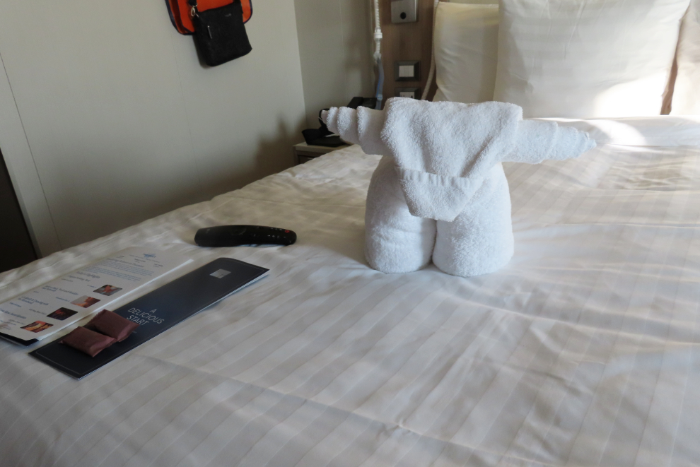
Back at our cabin after dinner. Towel animals are always fun, and I still have this cow a few days later 🙂
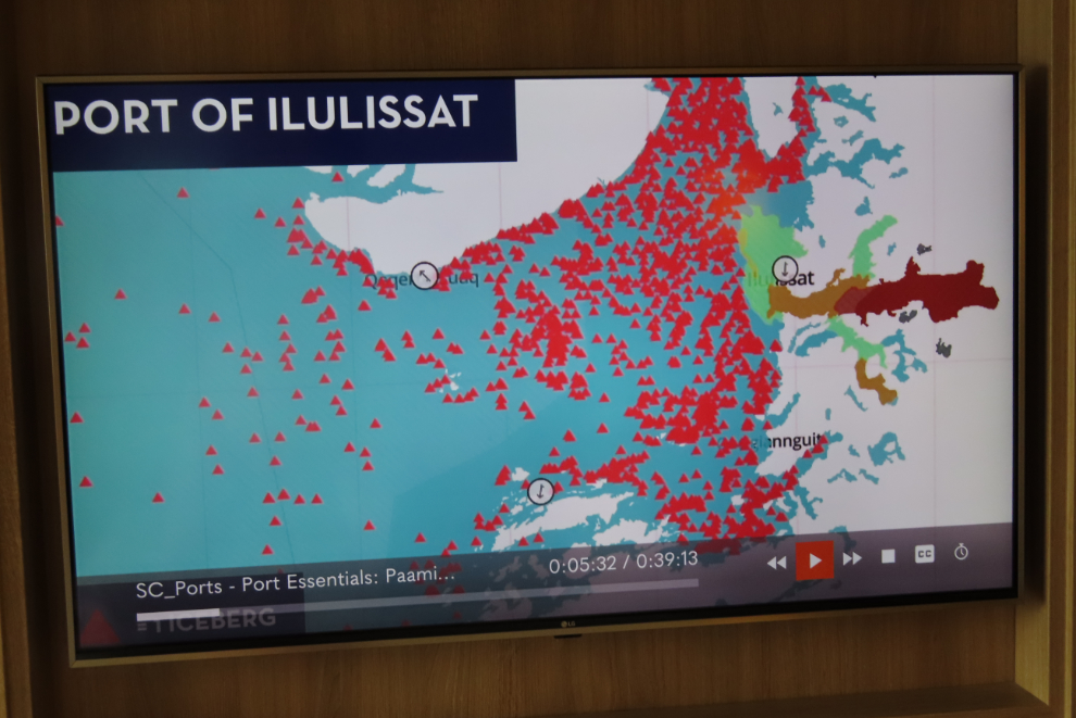
We saw a presentation on our tv that evening that showed why our original ports in western Greenland had been cancelled. Each of those red triangles was an iceberg at Ilulissat, where we had been scheduled to dock tomorrow. Okay, captain, now I understand.
Your trip just gets better and better.