A nature walk at the edge of downtown Whitehorse
This walk a week ago (June 12th) started off to be a look at a short trail I know (the East Airport Access Road Trail), that had just been re-opened, then the planned walk turned into more. Much more! There are 83 photos in this post, my longest ever 🙂 The walk was initially prompted by this notice by the City.
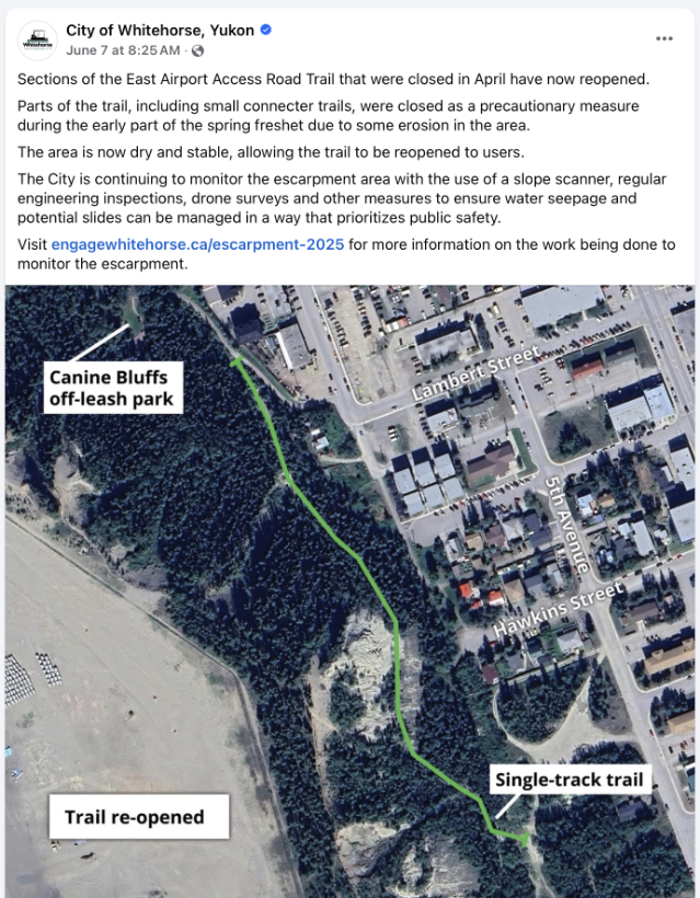
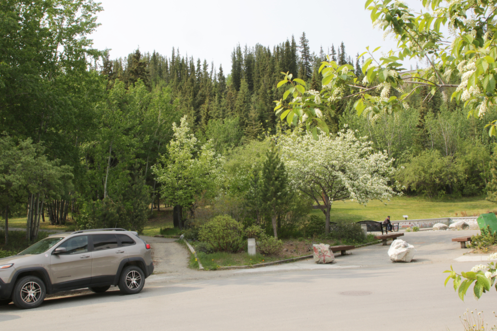
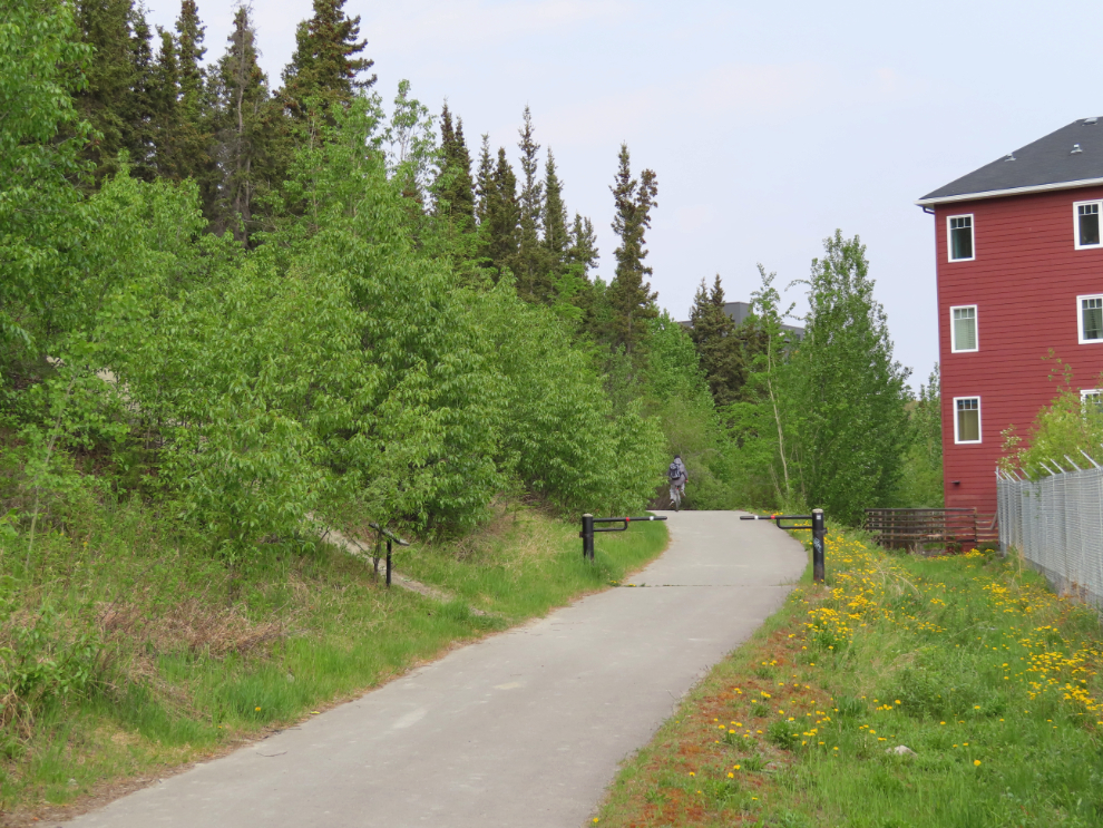
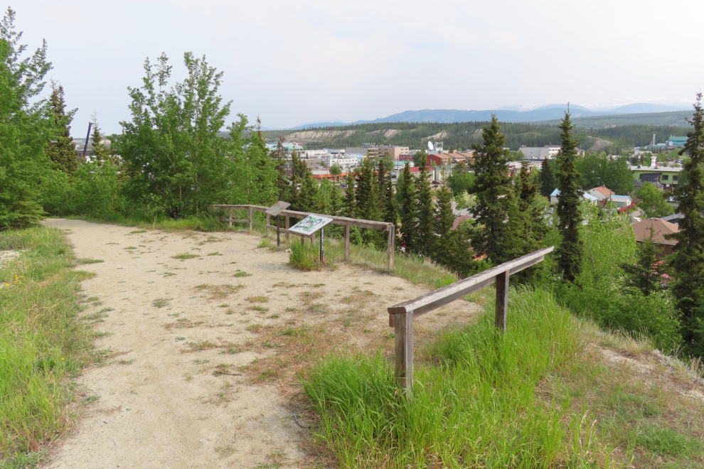
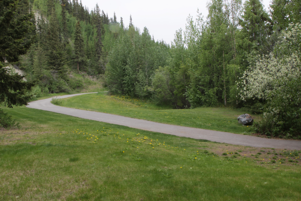
The best access is at the west end of Main Street, at Teegatha’Oh Zheh Park.
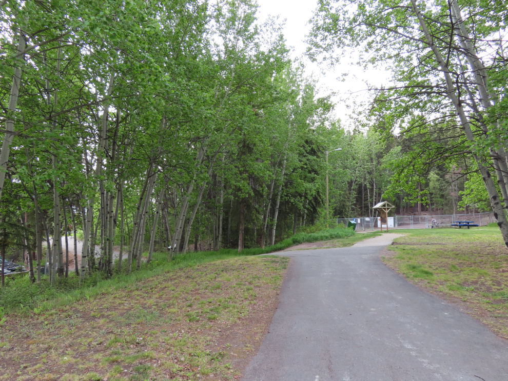
The trail starts as the access to the Canine Bluffs Off Leash Park. I made that little detour (of course), and had a brief chat with a woman who had 2 dogs, one a very friendly little girl 🙂
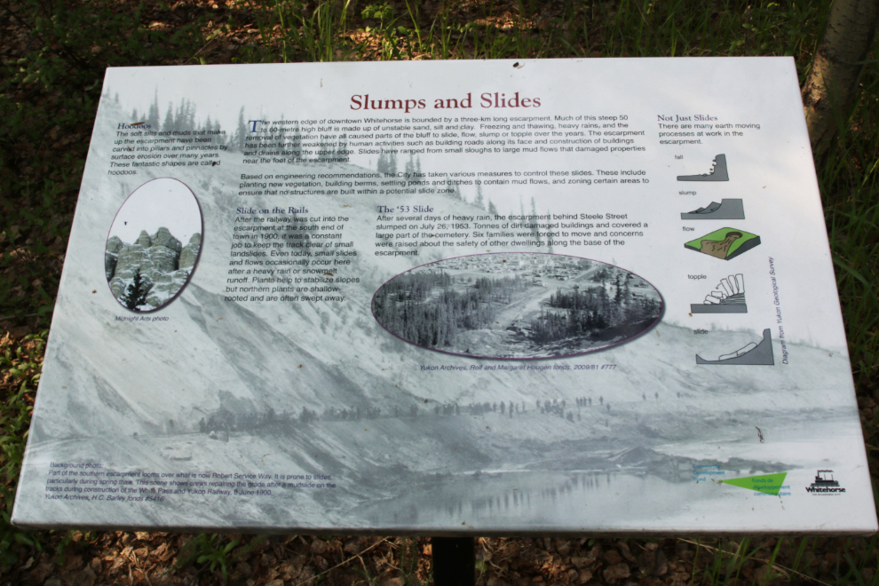
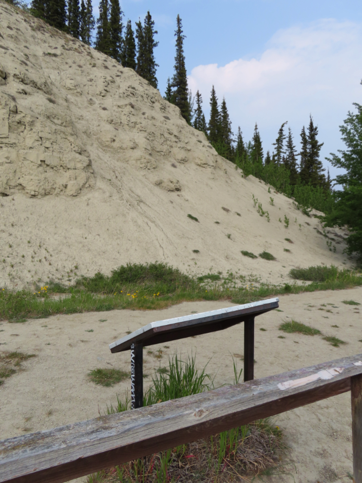
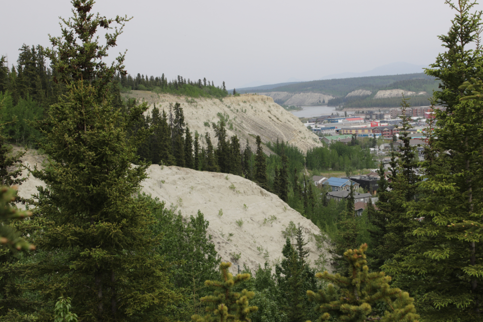
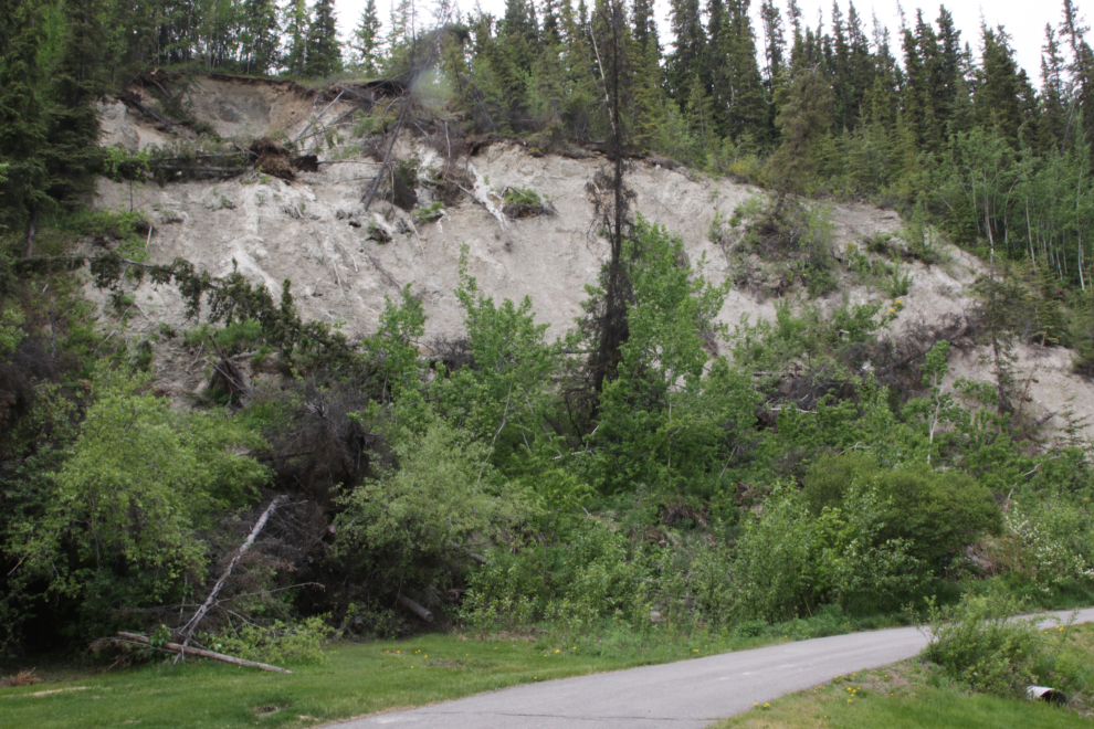
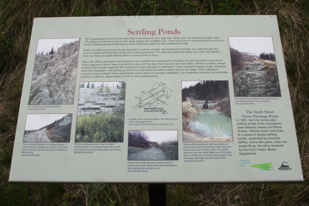
The escarpment (known locally as “the clay cliffs”) has been getting a lot of attention in recent years due to landslides that have once again become problematic, particularly when they block Robert Service Way, one of the two primary access routes to the city from the Alaska Highway. This interpretive sign along the trail gives some history of the slides. A larger readable version can be seen here.
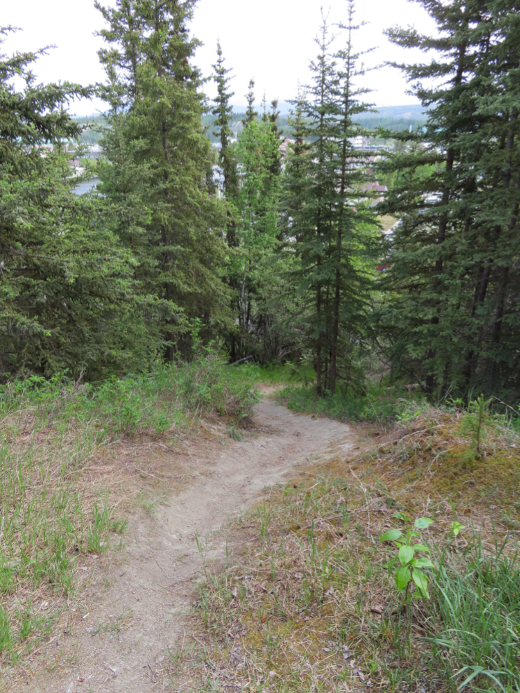
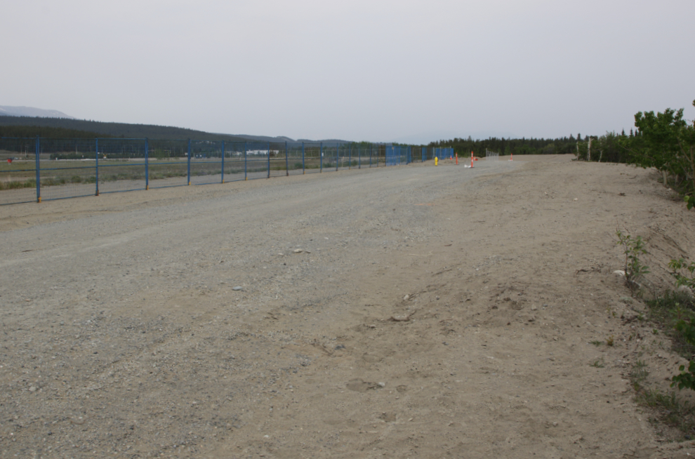
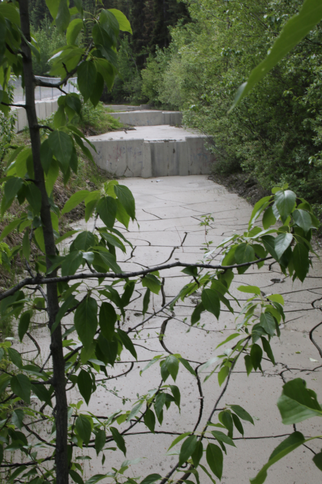
This ditch catches some of the water and mud coming down from the escarpment. The dirt trail ahead, the old East Airport Access Road, would be my route after I checked out the paved part.
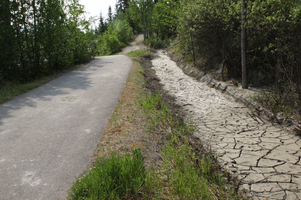
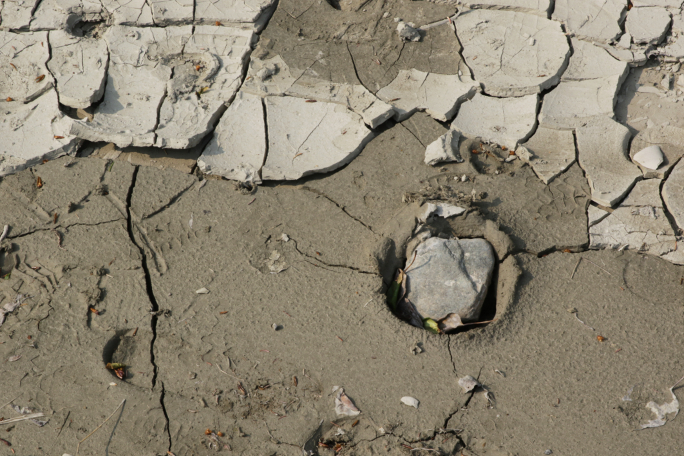
Fun with mud 🙂
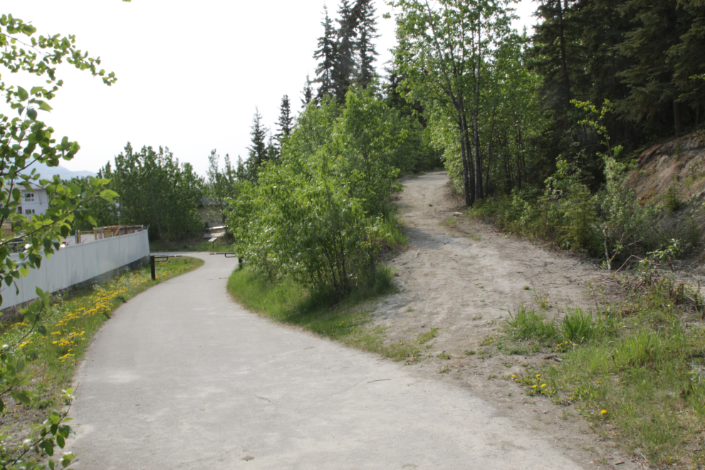
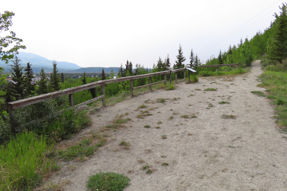
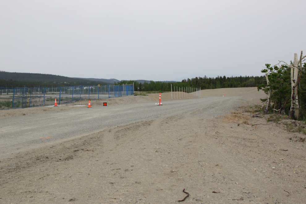
Another look at the two trails.
This older interpretive sign describes a revegetation experiment. Common yarrow (Achillea millefolium), Alpine Hedysarum (Hedysarum alpinum), Glaucous bluegrass (Poa glauca) and Slender wildrye (Elymus trachycaulus) are plants native to this area that would help to prevent erosion and the growth of invasive species.
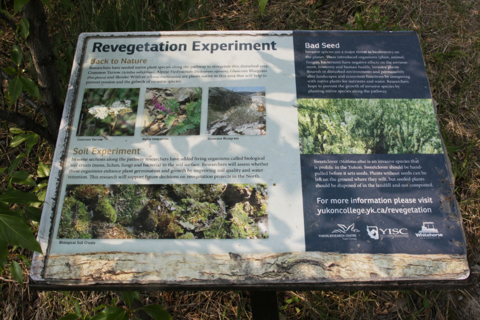
The revegetation experiment appears to have been a success – looking back, the sign above can be seen on the left side of the trail beside a shortcut trail.
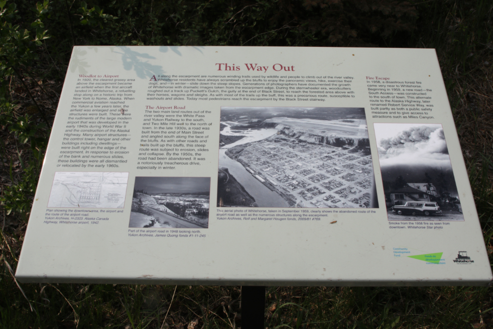
This interpretive sign at the end of the paved trail describes the three main roads that were built up the escarpment (Puckett’s Gulch and the Airport Road) or around it (the South Access). Only the South Access (now called Robert Service Way) still exists. larger readable version of the sign can be seen here.
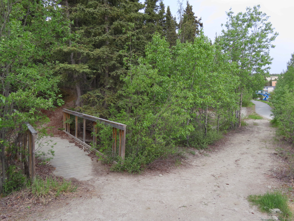
Doubling back and turning up the old airport road, you soon come to a bridge on a trail that leads back to the off-leash park.
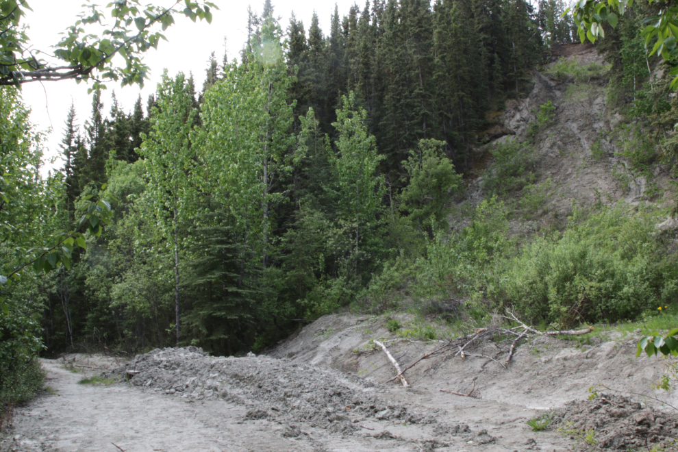
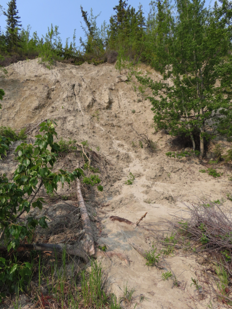
Then, the first of what over the course of the hike would become many slides from fairly recent years.
There are informal trails everywhere along the escarpment – this one leads down from the old road.
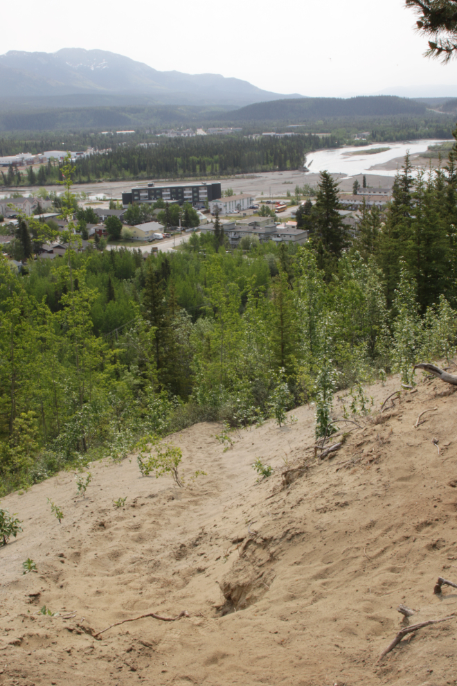
The viewpoint below is the primary attraction along the old road.
The slope above the viewpoint gives an idea of the difficulty of building a road up the escarpment.
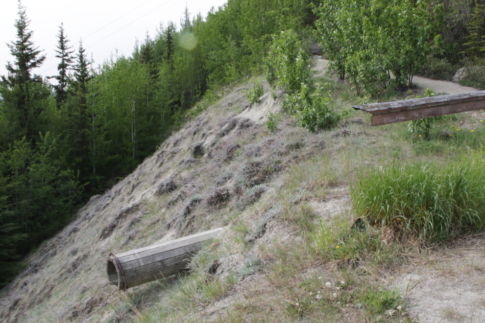
This wooden culvert running under the road at the viewpoint is in remarkably good condition for being about 70 years old.
A look back at the viewpoint.
Another slide just past the viewpoint.
An informal trail to the left of the slide above has several rope assists.
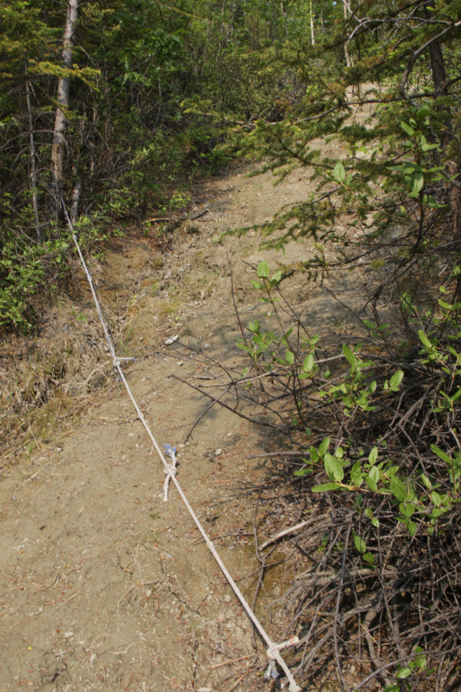
It provides a good shortcut to the top of the escarpment.
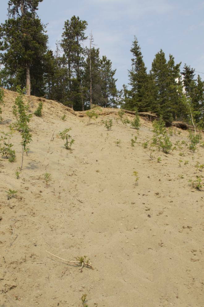
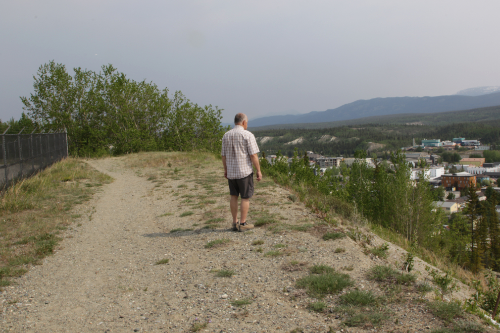
Looking back down the trail I had climbed up. The haze is smoke from wildfires in northern BC.
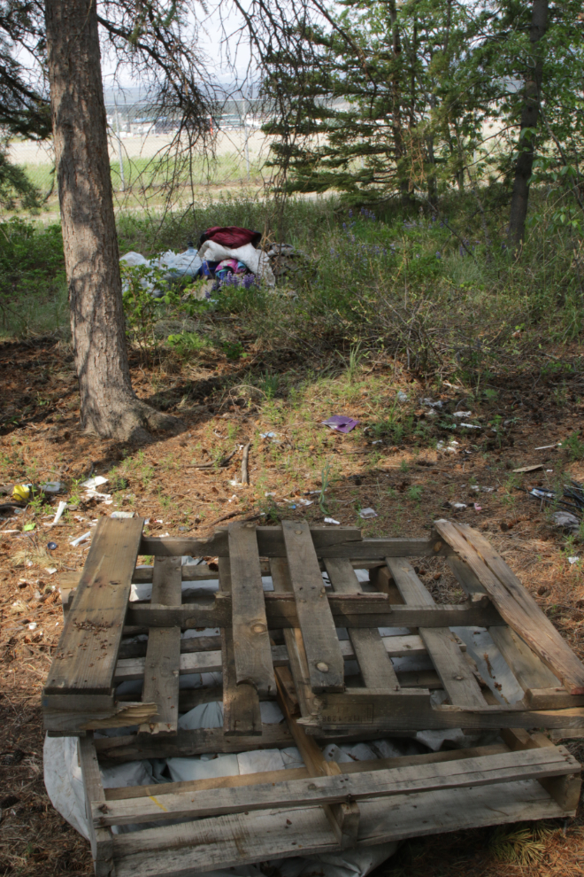
A homeless camp that hasn’t been used for a long time. It would have taken a great deal of work to get those heavy wooden shipping pallets here.
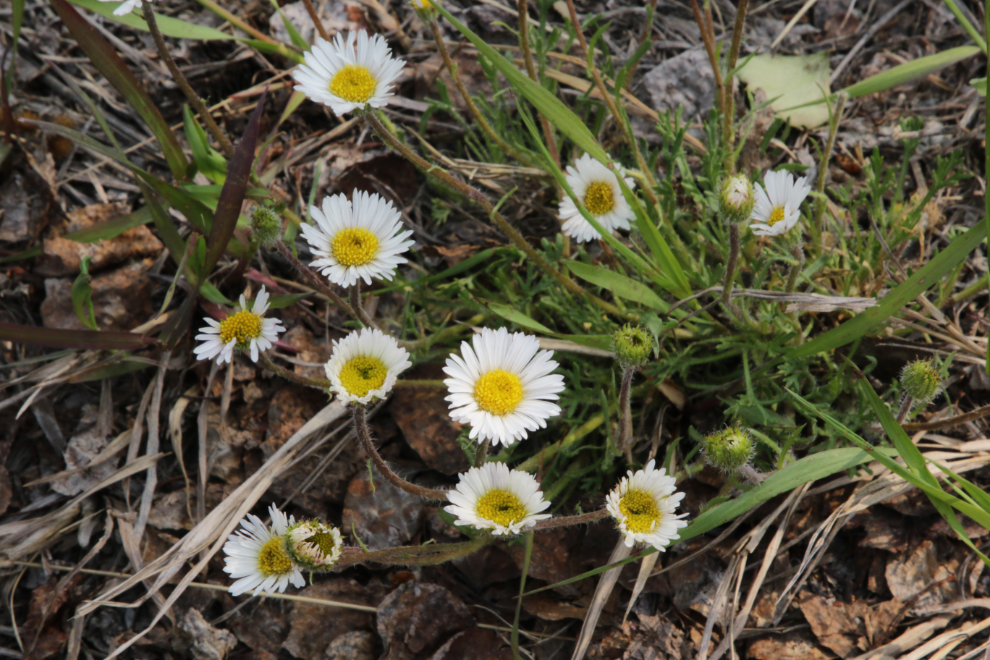
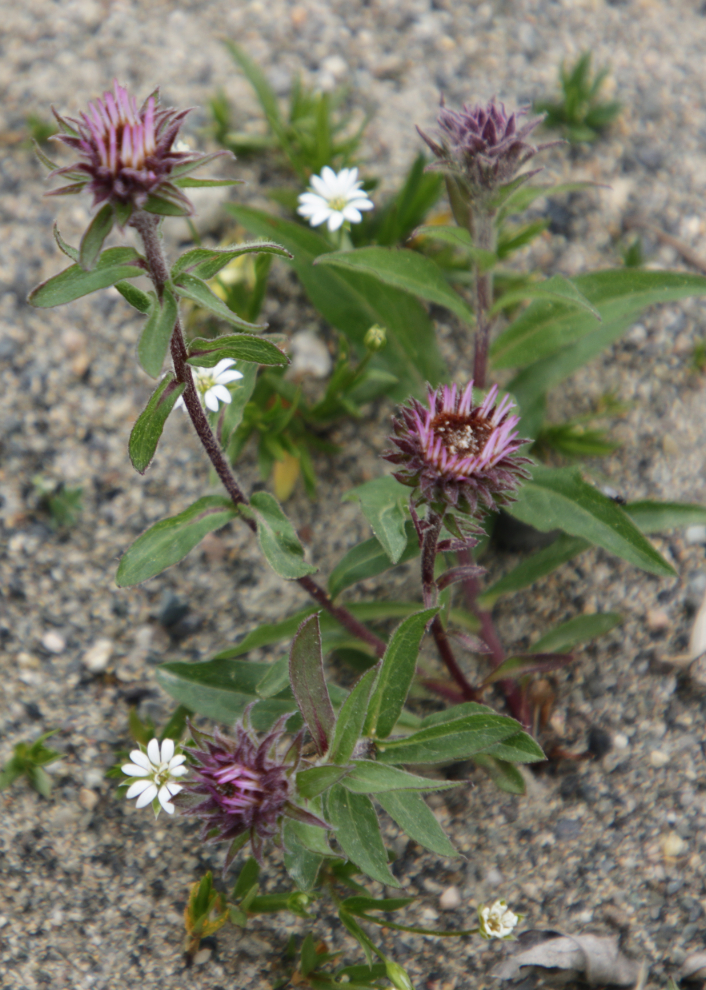
Along the top of the escarpment, wildflowers are abundant. I believe these are Common daisies (Bellis perennis).
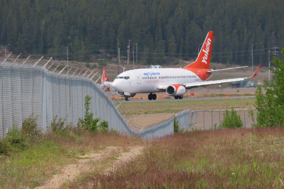
The most extensive rebuild and expansion of the airport since World War II is continuing. The total bill for the 3-year project is about $220 million.
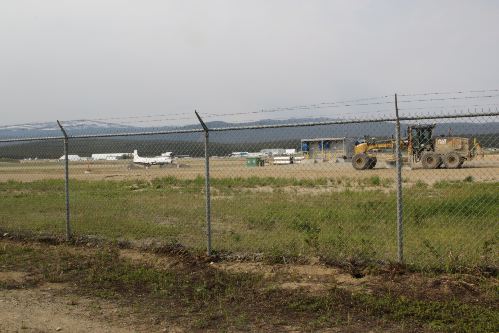
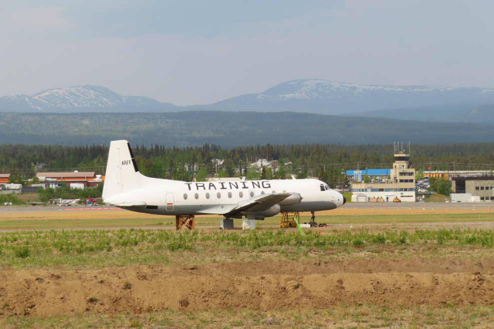
The airport’s fire/rescue training aircraft, a Hawker Siddeley 748, used to be Air North’s C-FYDU.
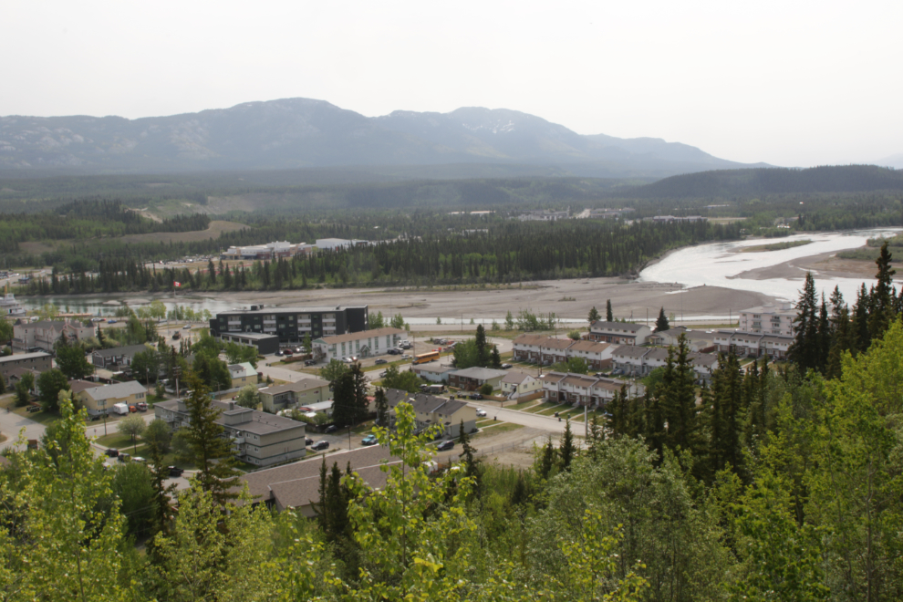
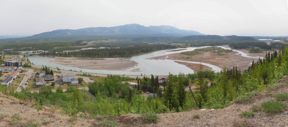
The southernmost part of downtown Whitehorse, with the Yukon River at an extremely low water level.
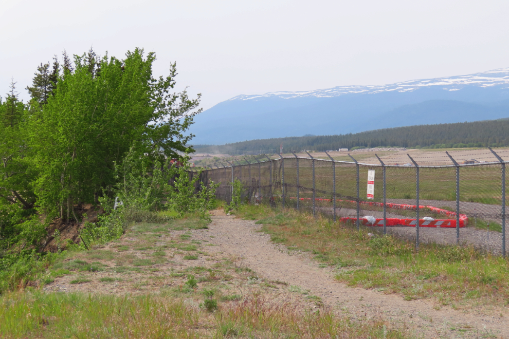
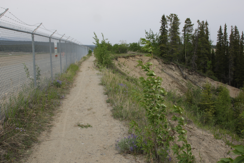
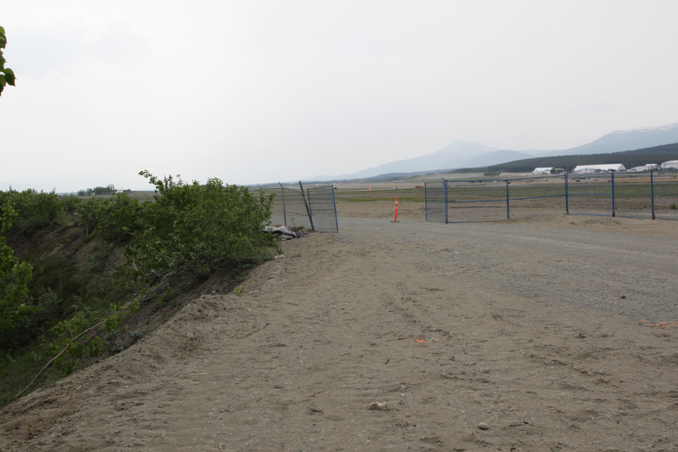
I soon came to the end of the airport perimeter trail. A slide about 5 years ago came right up to the fence.
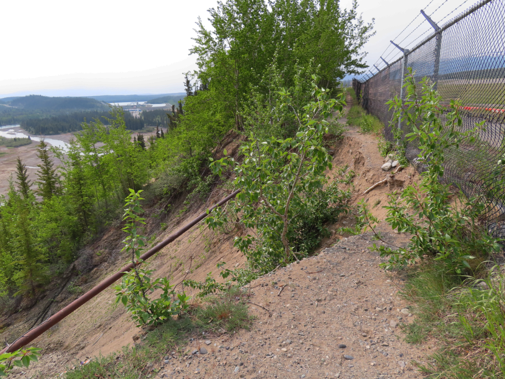
While some people do cross that gap by hanging onto the fence, I decided not to. To the left, a section of the World War II CANOL pipeline hangs freely.
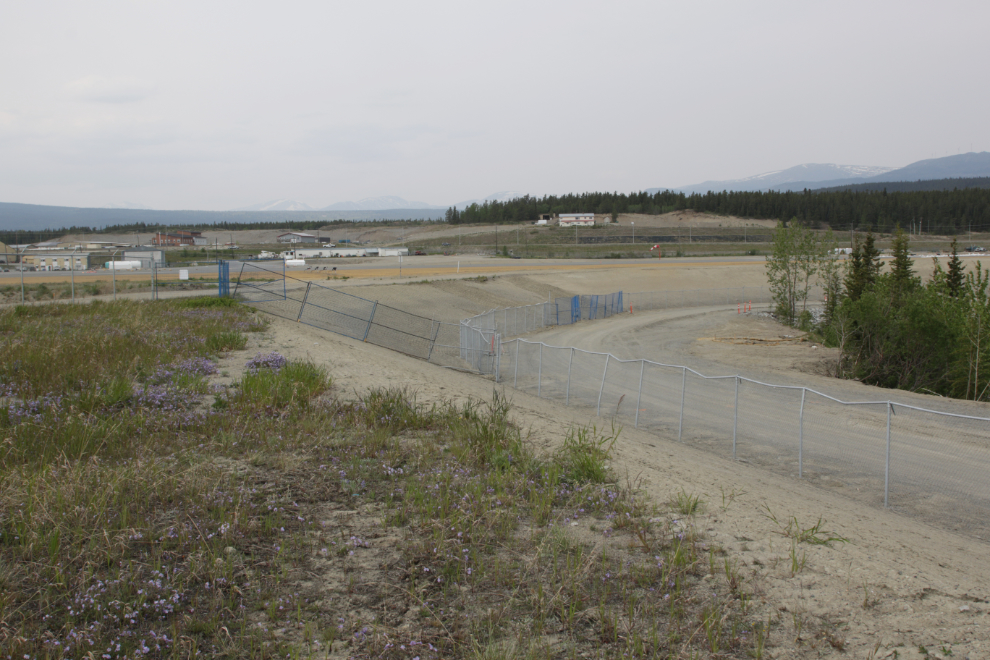
This was an excellent spot to shoot a panorama.
I never get tired of these trails.
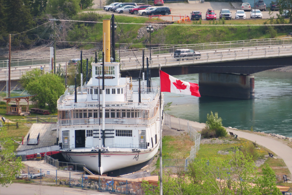
A telephoto shot of the SS Klondike.
A slide years ago took out an informal trail along the edge of the escarpment, but there’s a detour around it.
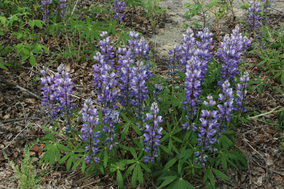
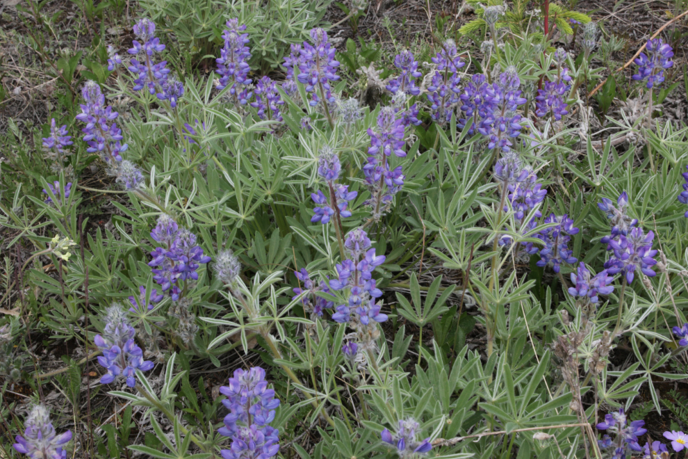
Arctic lupine (Lupinus arcticus) was abundant, as it is in many places right now.
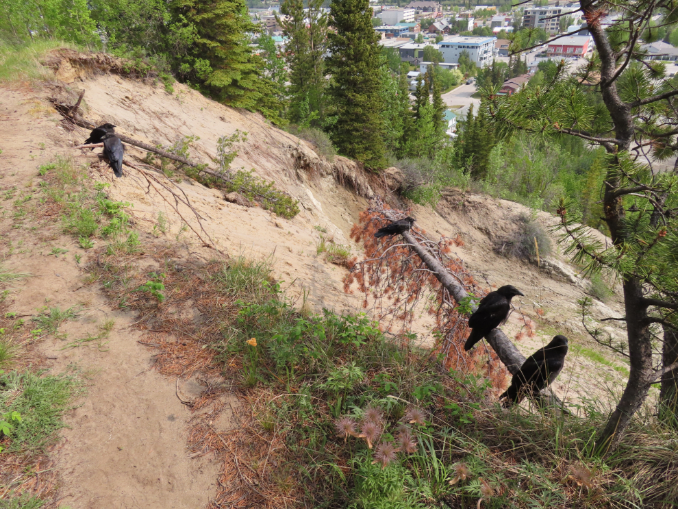
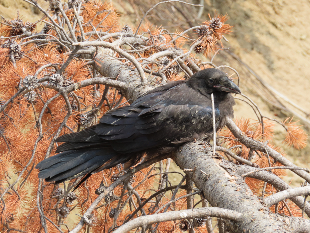
I love ravens, and had one of my coolest encounters ever with a group of them. I came around a corner to find two of them asleep on a branch hanging out over the edge of the bank.
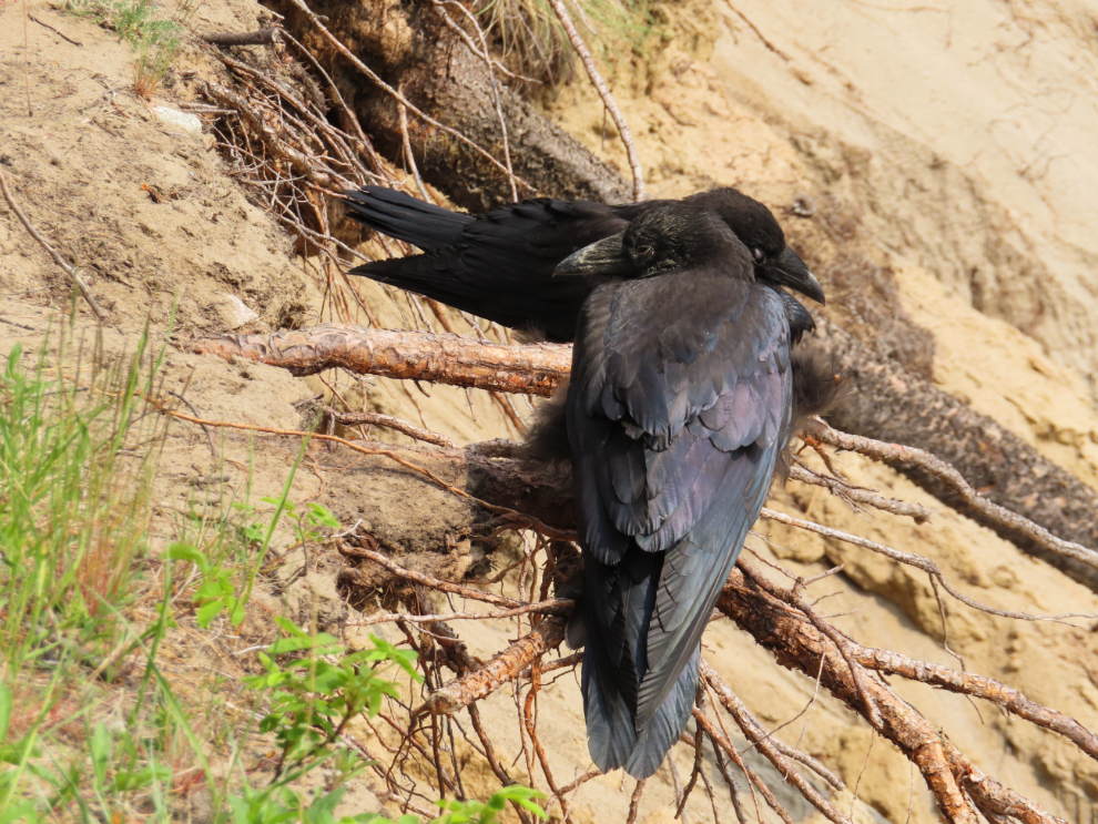
I woke them up, but they didn’t seem to be at all bothered by my presence.
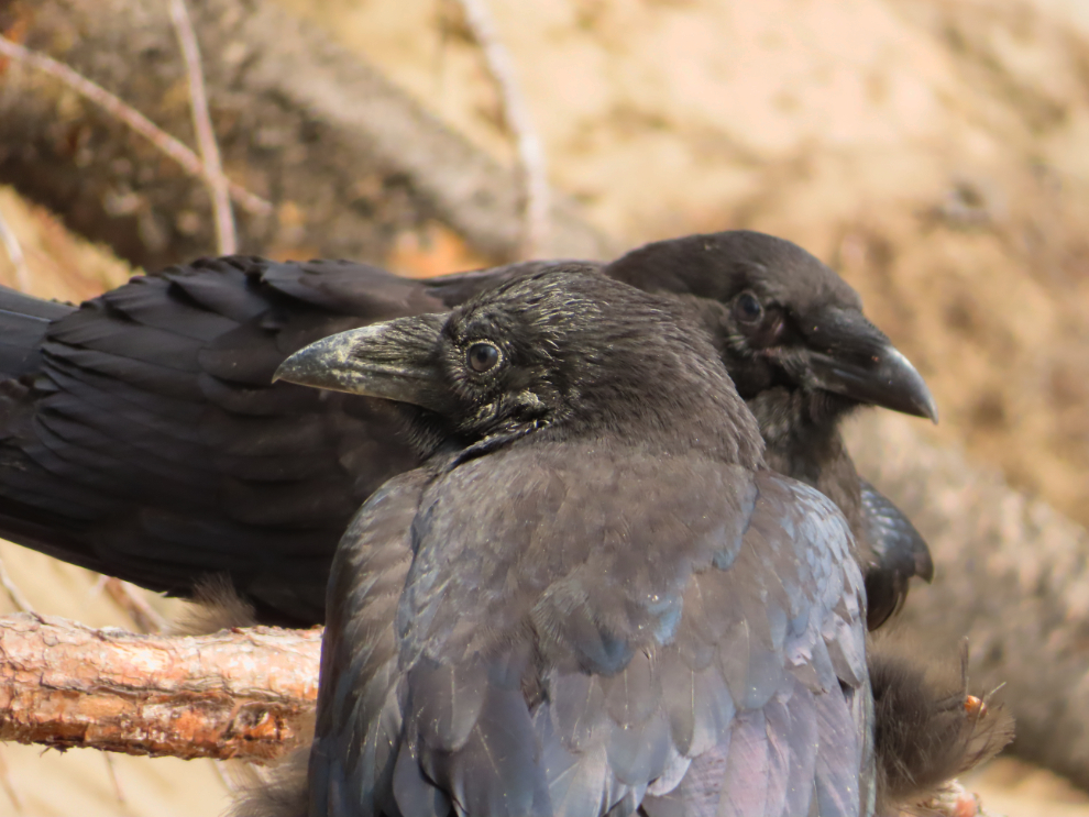
I took a couple more steps and saw that there were 3 more sleeping there!
There was now no way I could disturb them. I backed up and went off into the forest way around them 🙂
Almost back to the steep trail I came up to the top on.
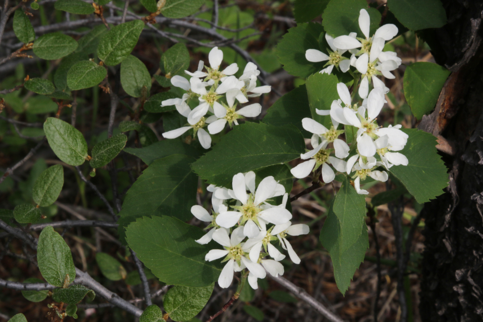
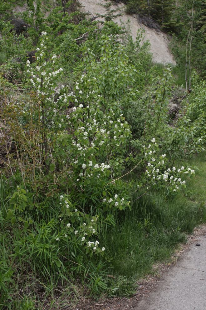
Saskatoon, a.k.a. Western serviceberry or shadbush (Amelanchier alnifolia).
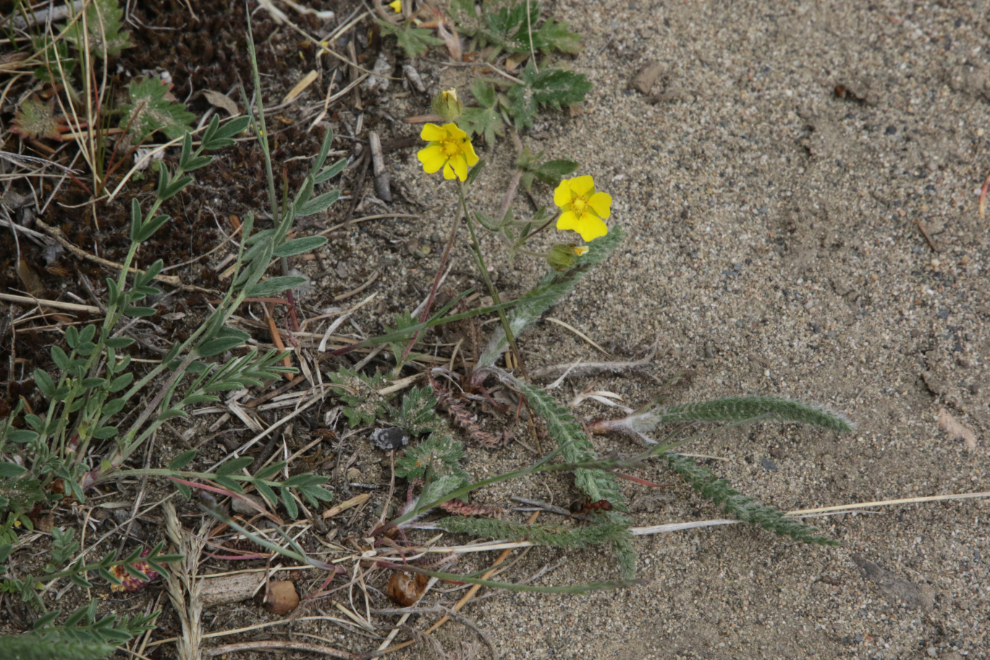
Slender cinquefoil (Potentilla gracilis).
Coming to an area of extensive sliding that has been going on for decades, and was the reason for moving all the airport buildings to the opposite side of the property about 70 years ago. The last of the concrete foundations from those buildings slid off about 3 years ago.
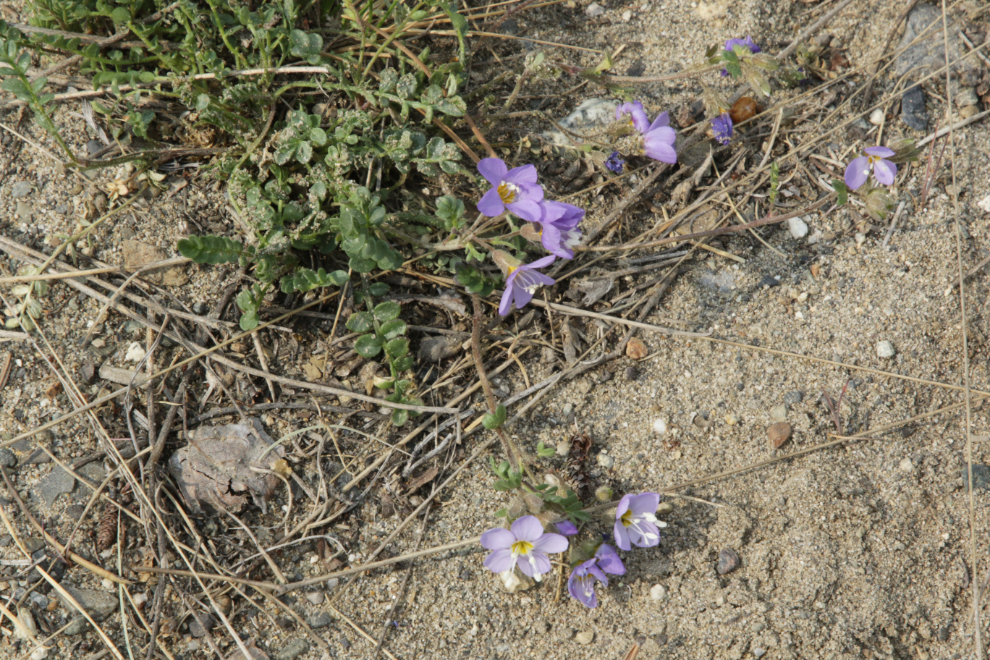
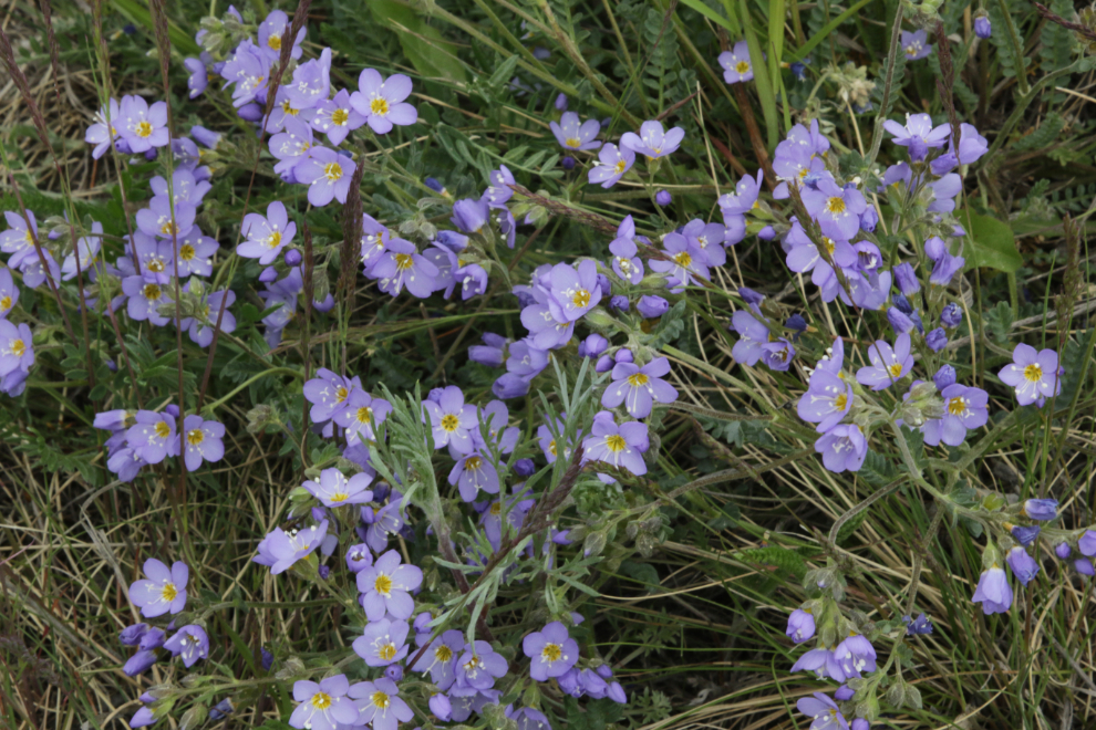
This is a good place to point out that for flower identification, I rely completely on the Picture This app, as I’ve never had much luck with books on the subject. It shows this as Creeping jacob’s ladder (Polemonium reptans) – corrections to any are gratefully accepted.
I seldom see Silky lupine (Lupinus sericeus), so this was a nice addition to the day’s list.
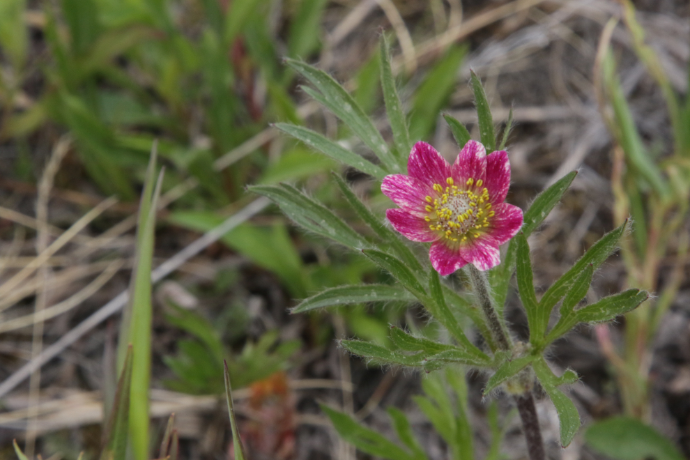
This lovely, tiny flower is Cutleaf anemone, a.k.a. Hudson Bay anemone (Anemone multifida).
This is also identified as Jacob’s ladder (Polemonium reptans), so one of them in incorrect.
This slide may yet take out the trail.
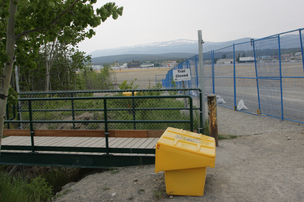
There wasn’t much air traffic while I was up there. As well as this Air North sched, a gorgeous Dassault Falcon 7X (C-GJPG) owned by the Jim Pattison Group, owner of our local Save-On-Foods store, took off.
They seem to be scrambling to stabilize this slope, and not very successfully.
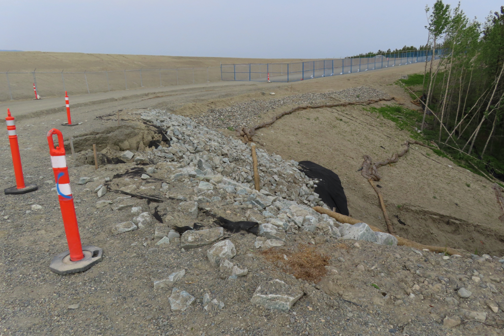
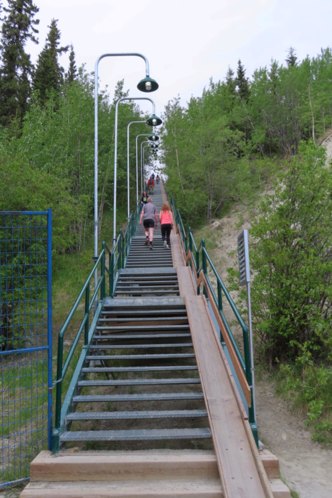
Wow, this was a surprise! I had heard that there was some work being done on the trail south of the Black Street Stairs, but didn’t expect this.
A look back to the south.
To spend this much money on recreation is very impressive. I expect, though, that there are also bank stabilization aspects to it as well.
Subalpine fleabane (Erigeron peregrinus).
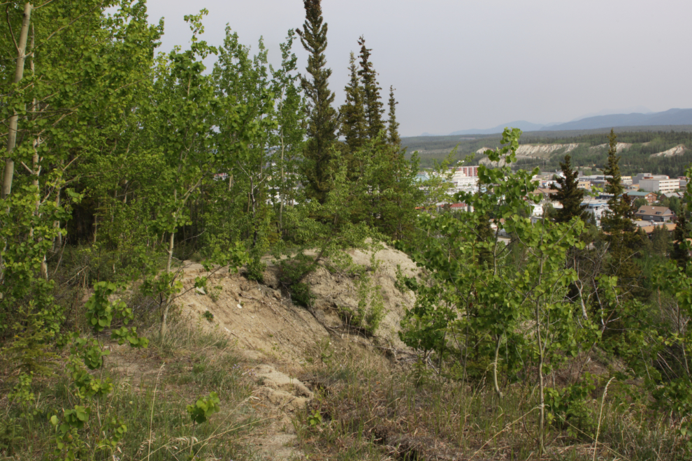
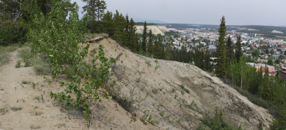
Just a general look at the clay cliffs.
Looking back at the top of the Black Street Stairs. Despite the sign, the trail is no longer closed – that’s where I had just come from.
Looking down the stairs, a very popular place for serious workouts – sometimes known by those folks as “the Stairs of Death” 🙂
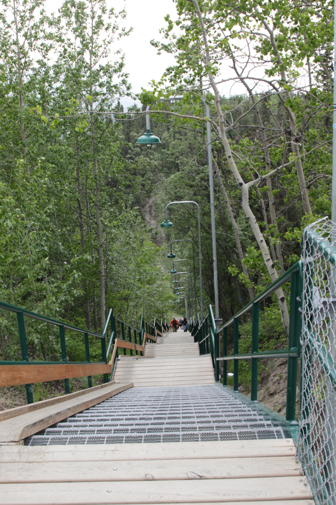
Looking back up.
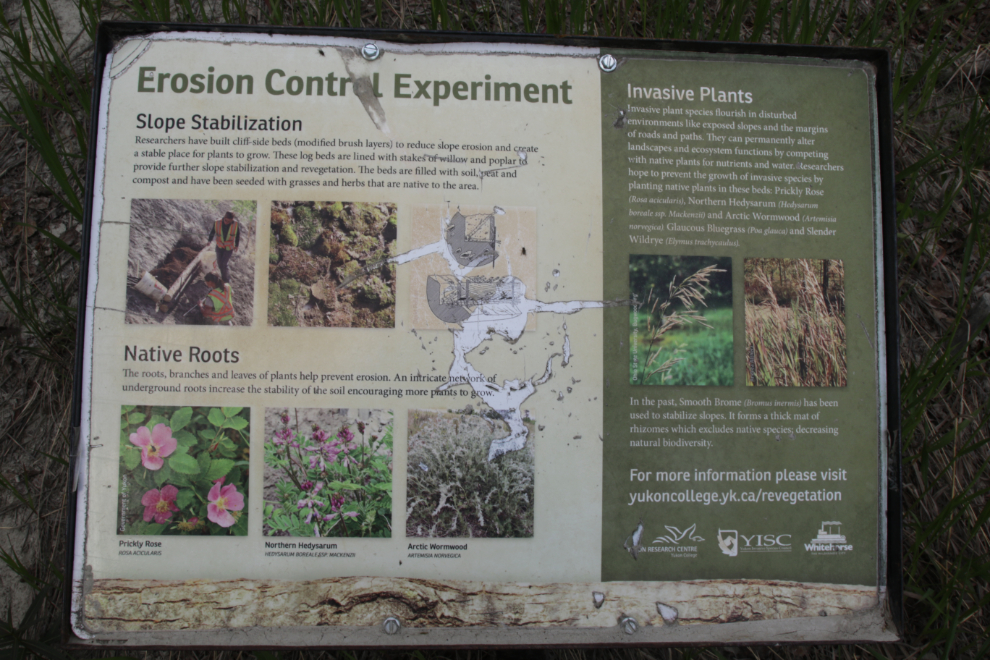
Another sign about an erosion control experiment at the bottom of the stairs. As well as the native plants placed here, cliff-side beds were built to reduce slope erosion and provide a stable place to grow.
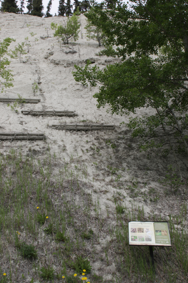
The slope above that sign. The cliff-side beds don’t seem to have worked.
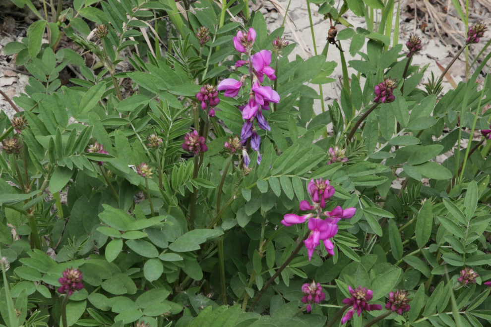
Among the native plants are Boreal sweet-vetch, a.k.a. Northern Hedysarum (Hedysarum boreale).
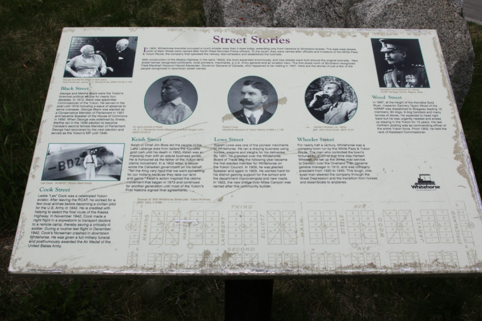
The interpretive sign “Street Stories” describes the origins of the names of Black Street, Cook Street, Keish Street, Lowe Street, Wheeler Street, and Wood Street. You can read about the origin of every street name in Whitehorse on my Whitehorse communities and street names pages.
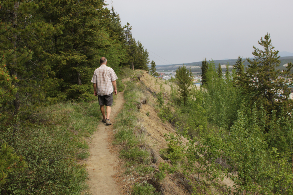
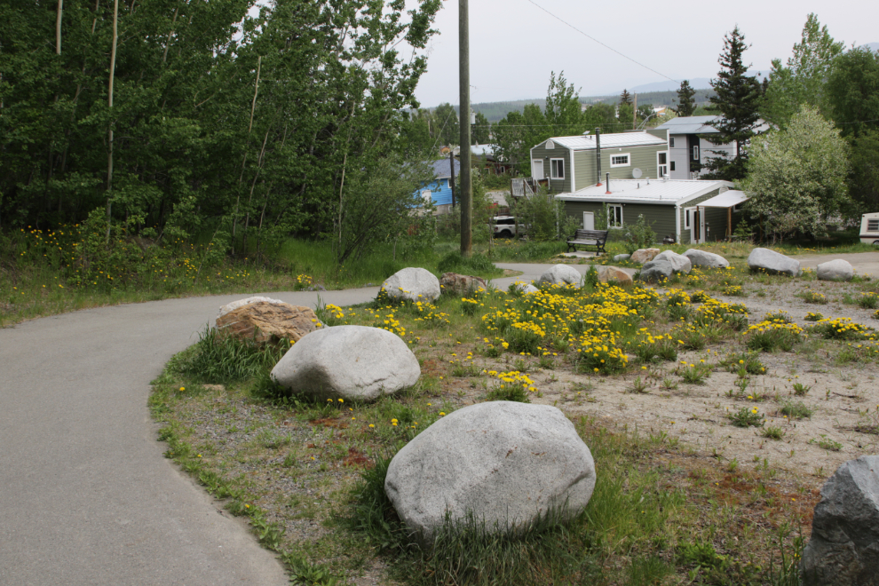
Looking back along the trail that runs along the base of the escarpment for 4 blocks.
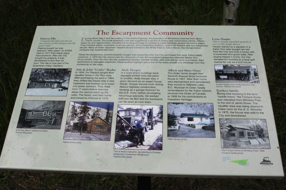
This interpretive sign describes some of the families in “The Escarpment Community”. See a readable version here.
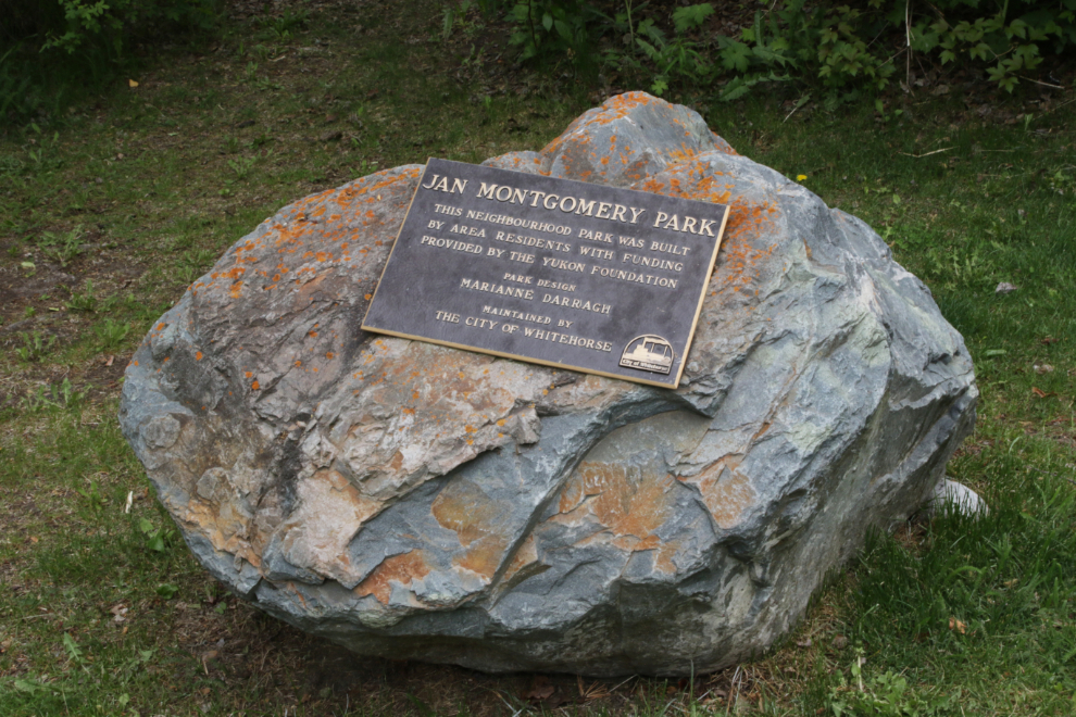
Jan Montgomery Park is a lovely little park that the trail runs through between Jarvis and Wood Streets. It was built by area residents in 1994, with primary financing from the Yukon Foundation.
This large slide that has come down into the park appears to be fairly recent. Even in this very dry weather, water/mud was flowing from the upper areas.
There are some healthy Saskatoons (Amelanchier alnifolia) growing at the base of that slide.
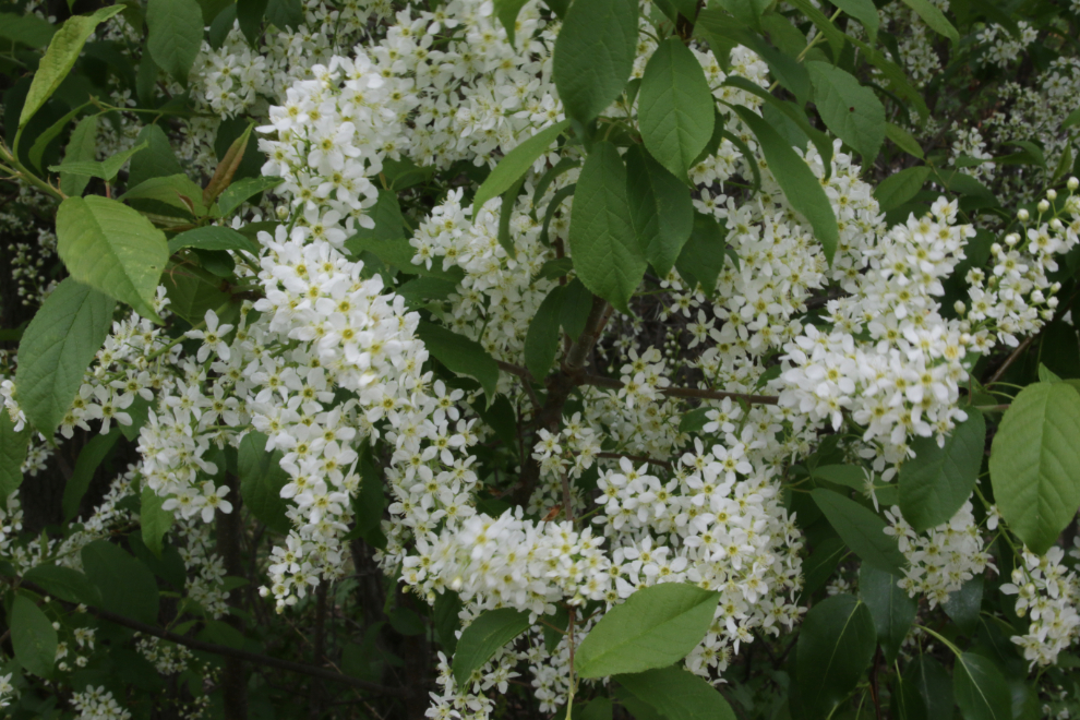
For the final flower of the day, I want to show you the floral stars in Jan Montgomery Park this day, the Western chokecherries (Prunus virginiana).
In 1991, the City constructed settling ponds at the base of the escarpment between Steele and Wood Streets, behind the Pioneer Cemetery. Ditches divert mud flows to a series of sloped settling ponds, separated by concrete baffles. Every few years, when the ponds fill up, the silt is removed. I expect they’ll be dug out in the next few weeks.
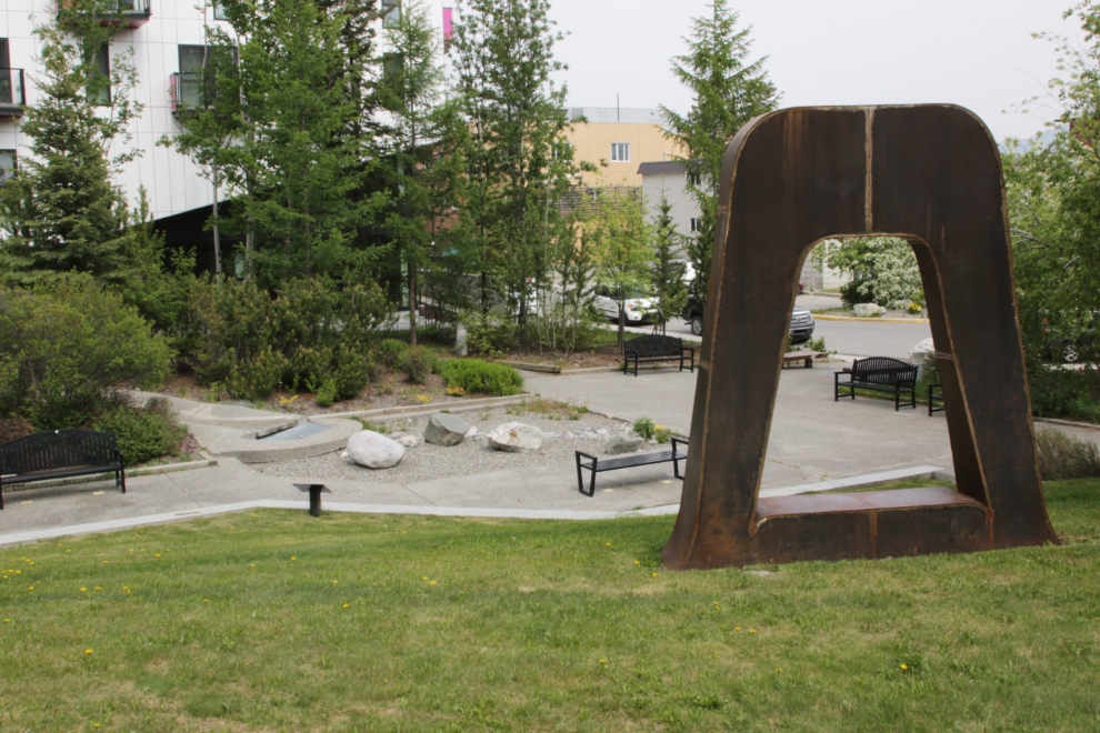
That brought me back to Teegatha’Oh Zheh Park, where my car was parked. This little park was built in 1997 at a cost of $145,000. The name is Gwich’in for “coming home over the same trail on which you left,” as the park is said to be located at the convergence of a network of five trails.
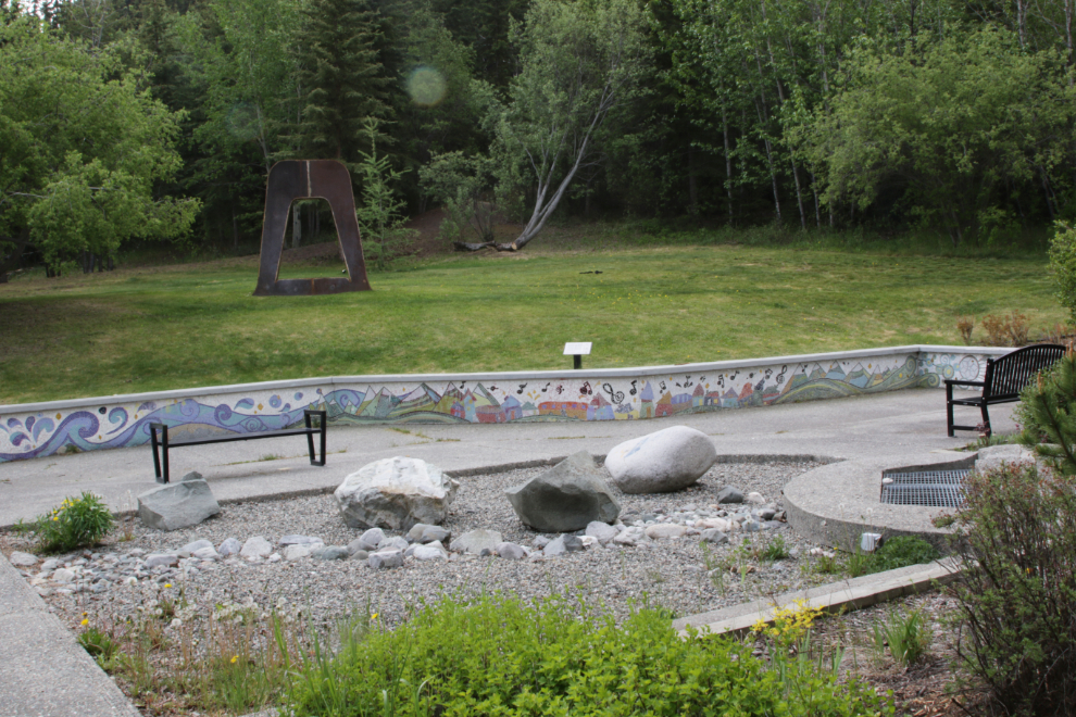
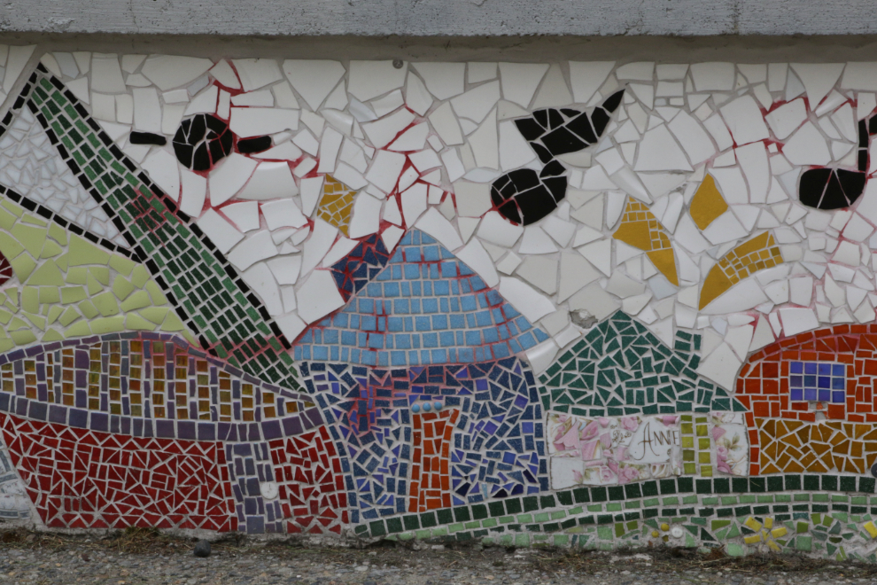
The colourful mosaic mural, inspired by the Yukon River, was created in 2016, designed by Laurence Petit.
I haven’t found any information about two huge steel sculptures in the park.
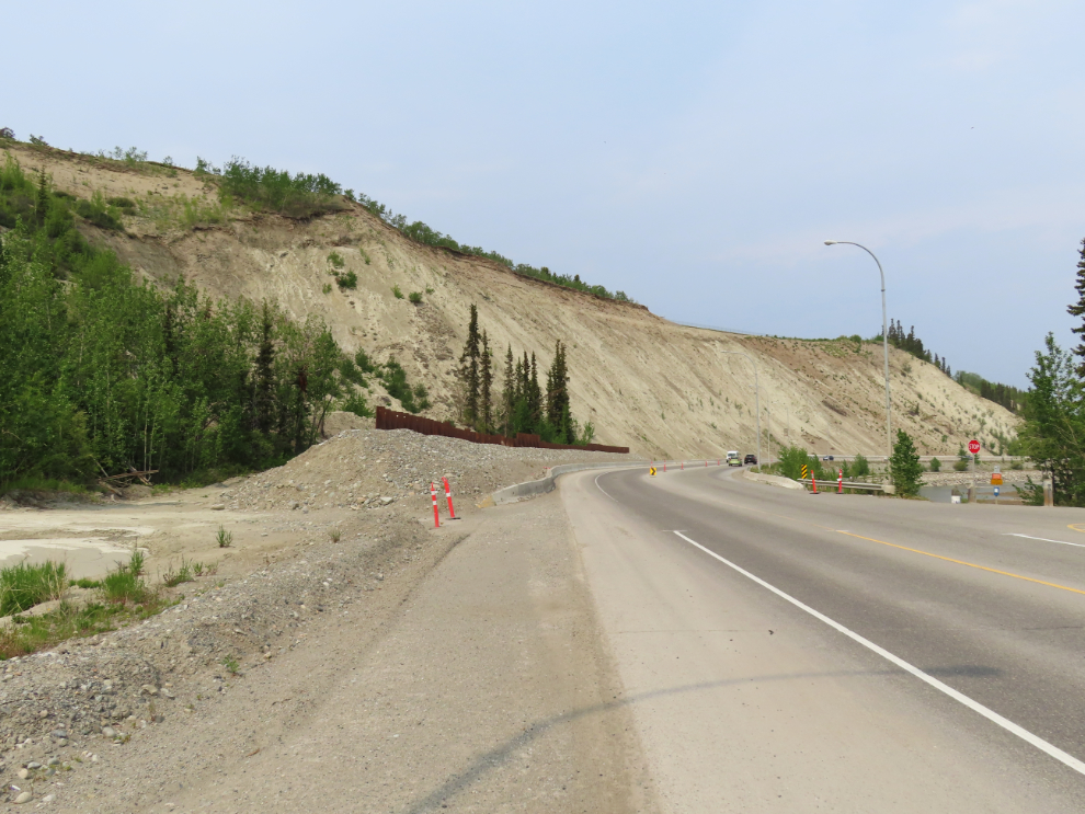
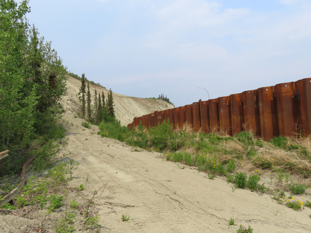
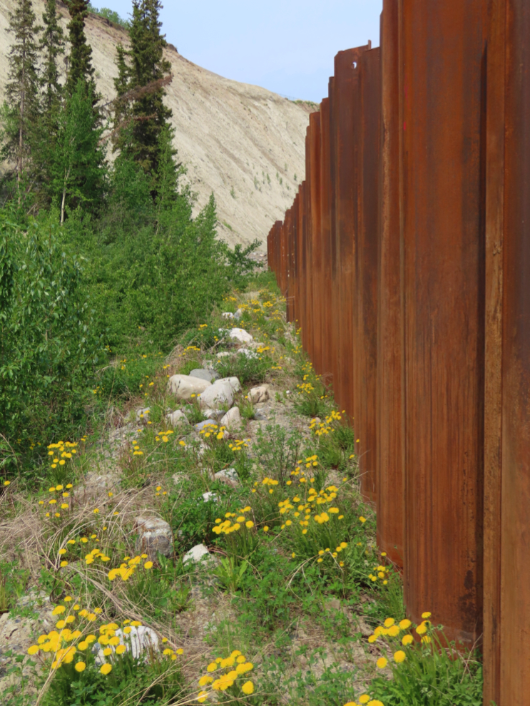
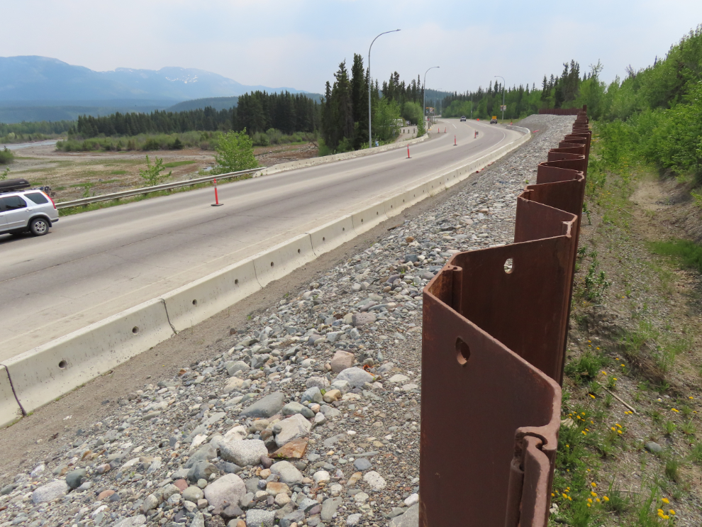
Okay, you would think that by now I would have had enough for one day – there are 71 photos posted above! But… inspired by my detailed examination of the escarpment, as I was driving by the metal sheet piling wall that was installed along Robert Service Way in 2022 as a slide barrier, I decided to have a good look at it 🙂
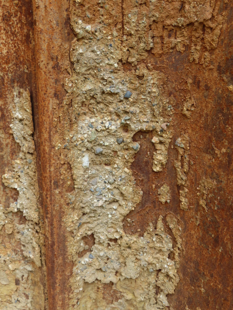
The next 3 photos were shot on the side away from the road, where there is plenty of room to gather mud, and to clear it.
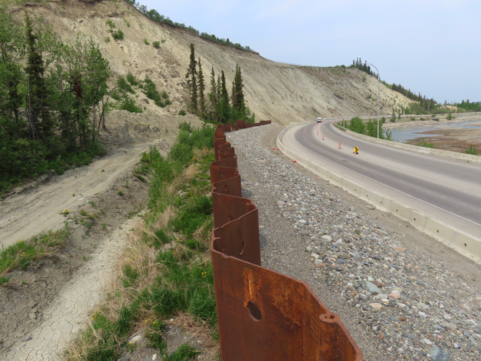
A couple of photos from the top.
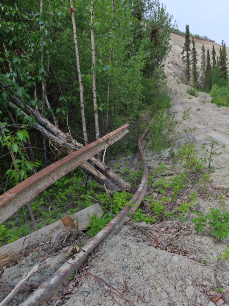
And the final photo hints at what used to be where the wall now stands – the historic White Pass & Yukon Route rail line.
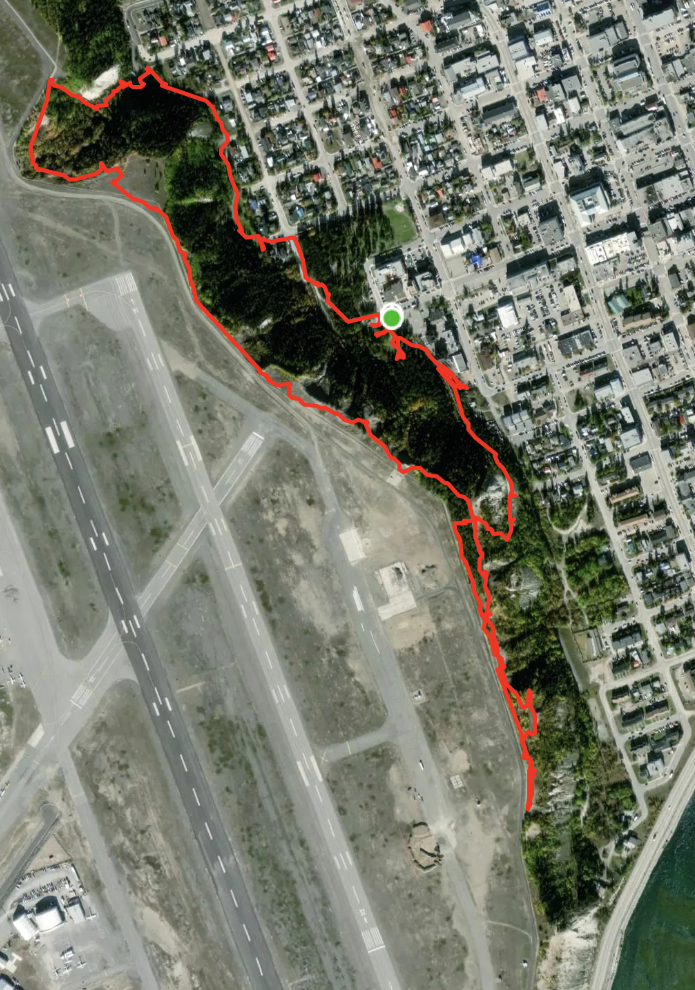
Here is what the 4.8-km walk looked like on my Strava page.
I almost didn’t write this post. Although I expect that very few people will ever read the whole thing, I hope it will someday be a useful record of Whitehorse on this day.
On Sunday (June 22nd), Cathy and I will be starting on the grandest Adventure either of us has ever been on – 38 days with northern Europe as the focus. I’m hoping to be able to write at least a short blog post every day as we explore Paris, then Norway, Iceland, and Greenland.
What a fantastic way to kick off such a long-awaited adventure! Loved the behind-the-scenes details about the flight, Vancouver architecture, and especially the view from the Fairmont — the Marine Building is one of my favorites too.
I’ve been writing about travel stories and visual experiences too — feel free to This is an incredibly rich and valuable photo record of a changing landscape — both ecologically and historically. The signage and infrastructure changes you documented, especially around erosion control and the airport expansion, offer a rare look into how cities like Whitehorse are balancing urban access with nature.
I explore similar themes of place, history, and transformation in visual form — feel free to visit my photo-journal. Looking forward to reading about your Europe adventure next!. Looking forward to reading more from your trip — especially the cruise part!
Read the entire post. Loved the flower pics. I swear in one of the pics looking over to the hospital side, I could smell the forest there. Thanks for sharing and enjoy your trip!!
Ellen
Thank you, Ellen. The whole walk was just so fascinating to me – maybe getting my brain primed for Europe. Being able to put names to the flowers has made a huge difference – books about them always frustrated me. Cathy is most excited about Paris, but Greenland is my #1 bucket-list destination.