Driving from Phoenix to Kingman, Arizona
Sunday, November 17th – the stress of getting to Arizona was past. In my current state it’s hard to believe that I used to travel, and arrange and coordinate travel, for a living. But for the next week we’d be on the road in a particularly beautiful car, so life was good.
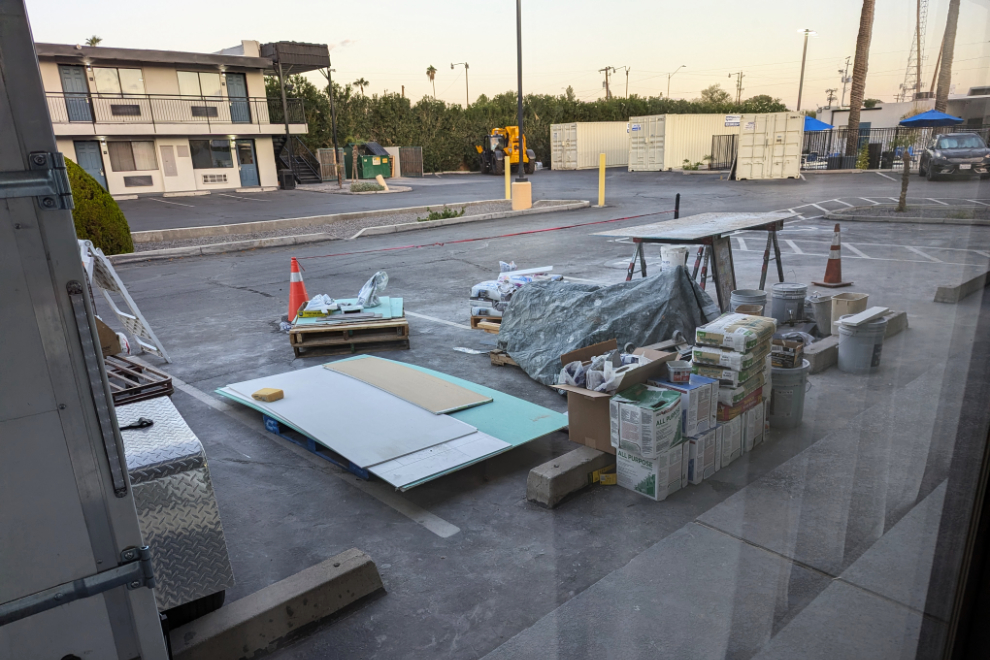
I mentioned in the last post that the view from our room at the SureStay by Best Western Phoenix Airport motel was of a lot of construction supplies – this is what it looked like that morning.
The first order of business was to get a good breakfast. Andrea found a place that looked great, and it was – aptly-named Matt’s Big Breakfast on N. 1st Avenue in downtown Phoenix.
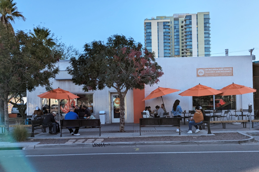
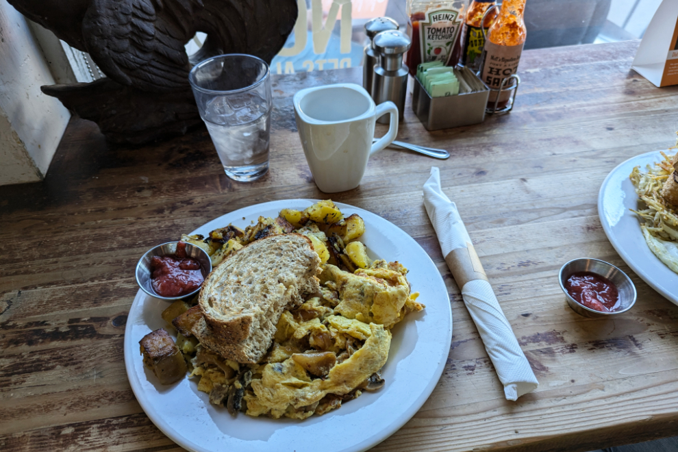
The place was packed and there were a few people ahead of us, but our name was called fairly quickly. I got the special skillet of the day, and it was both loaded and huge! With a 15% tip it cost $45.39 USD.
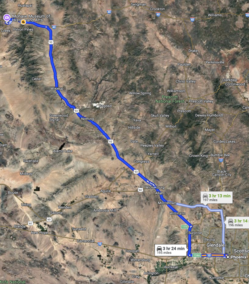
From Matt’s we headed to Interstate 10, the Papago Freeway. For an interactive map of our basic route for the day, click here.
Phoenix is the 5th-largest city in the States, with a population of over 1.6 million. There are a whole lot of people on the move at high speeds, and it takes forever to get out into the country. In this next photo we were headed west on I-10, at 10:10 (really! 🙂 ).
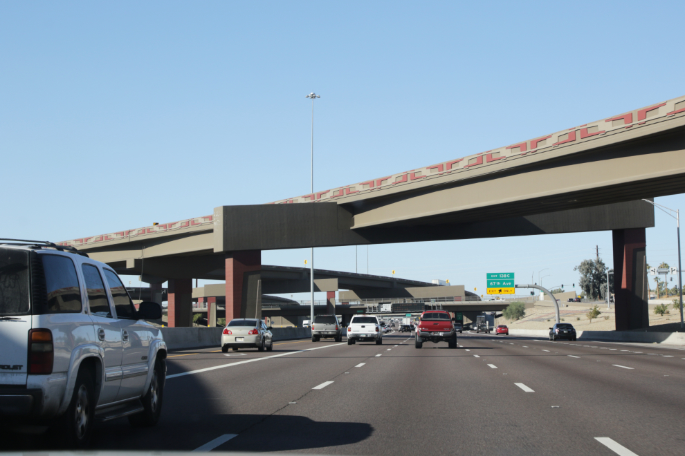
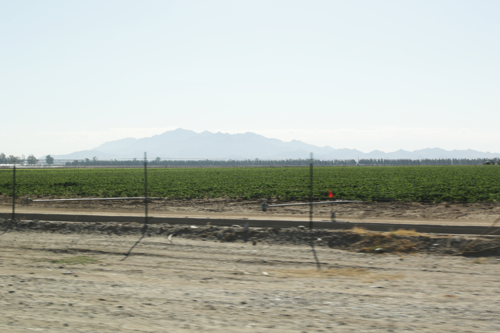
At the west side of Phoenix we headed north on Highway 303, with a speed limit of 65 mph and many people going 80+. We soon came to the first field of something green, but there were very few such fields.
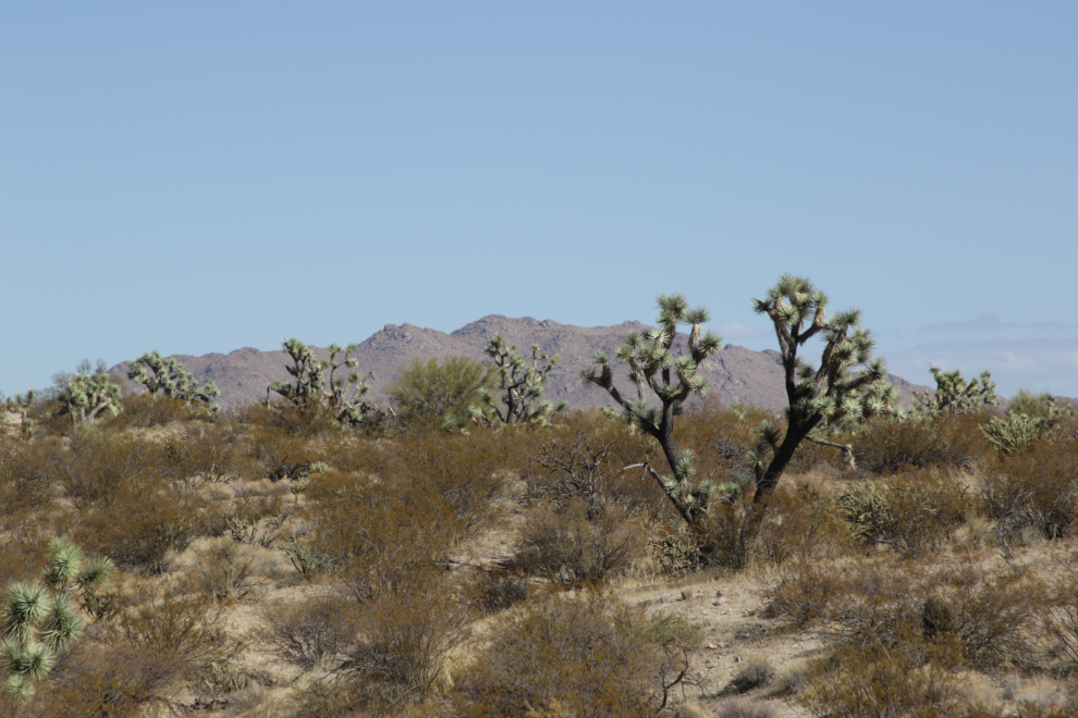
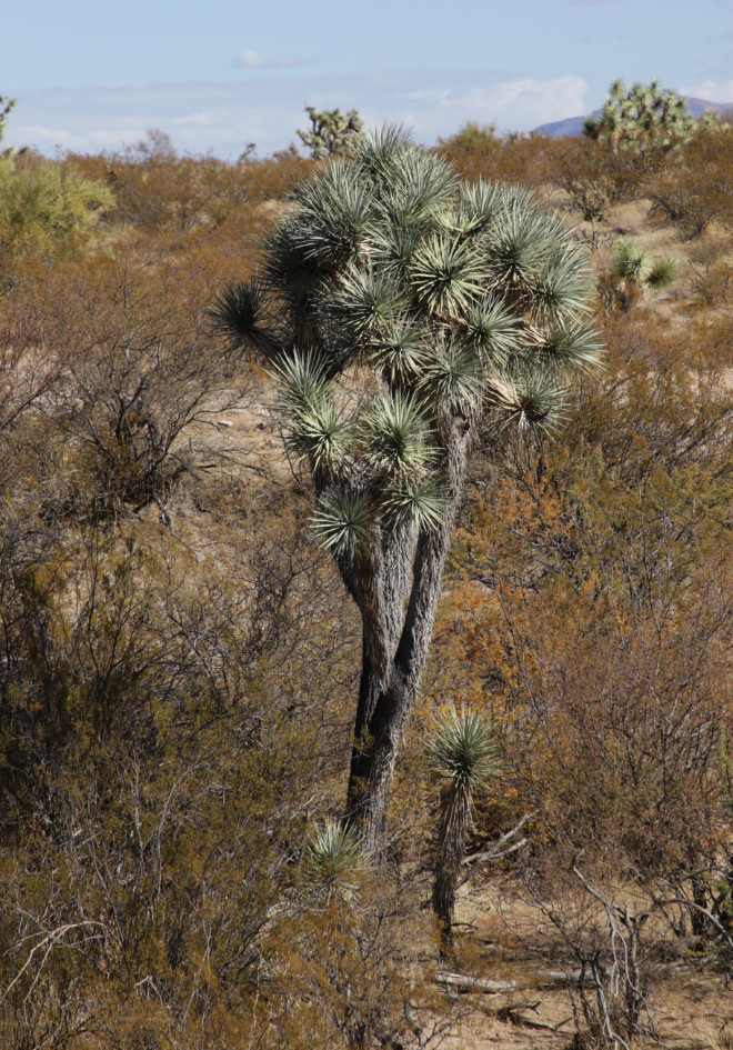
That took us to Highway 93 (speed limit also 65 mph), where we headed northwest towards Kingman. At 11:45 we came to an area with many Joshua trees, a.k.a. Yucca palms (Yucca brevifolia). Now I could get in a desert mood 🙂
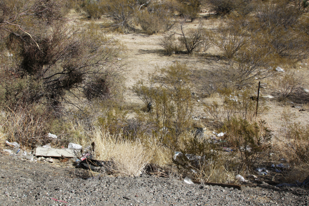
The amount of garbage we had seen along 303 and 93 was appalling – it was everywhere, with particularly large quantities at every place where a person can pull off the road. I’ve never seen it this bad anywhere.
At 11:50, still among the Joshua trees, we made a fairly long stop and I took a few photos of the landscape. The next two show the same spot at different focal lengths, close-up then a broader view showing the highway.
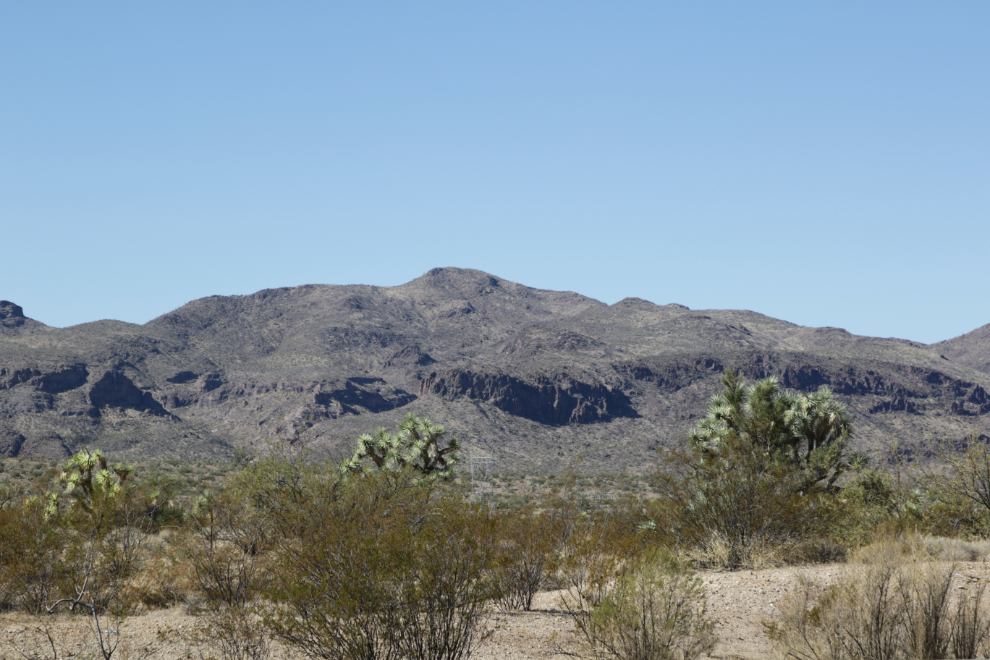
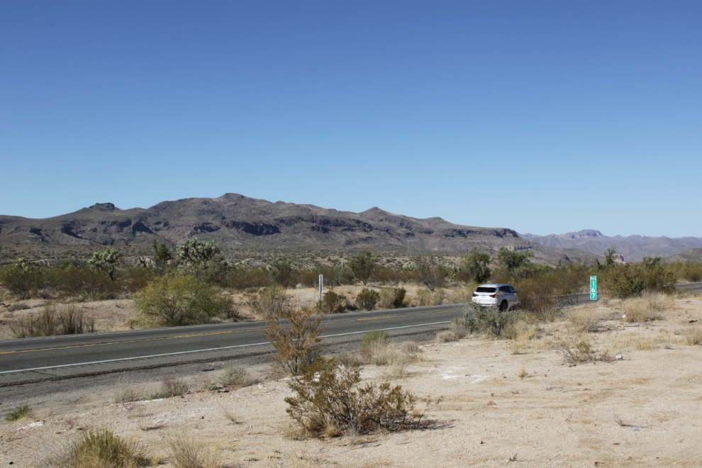
Fascinating country. This is the sort of place we both wanted to see.
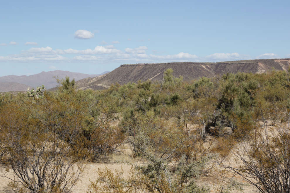
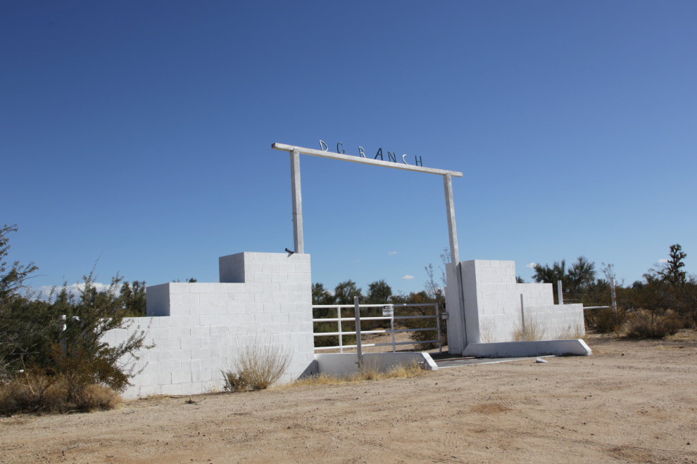
Still at the same spot, this gate leads to the DG Ranch. There is an equestrian center a few hundred feet past the gate, then the main ranch is on a hill about 8 miles off to the northeast.
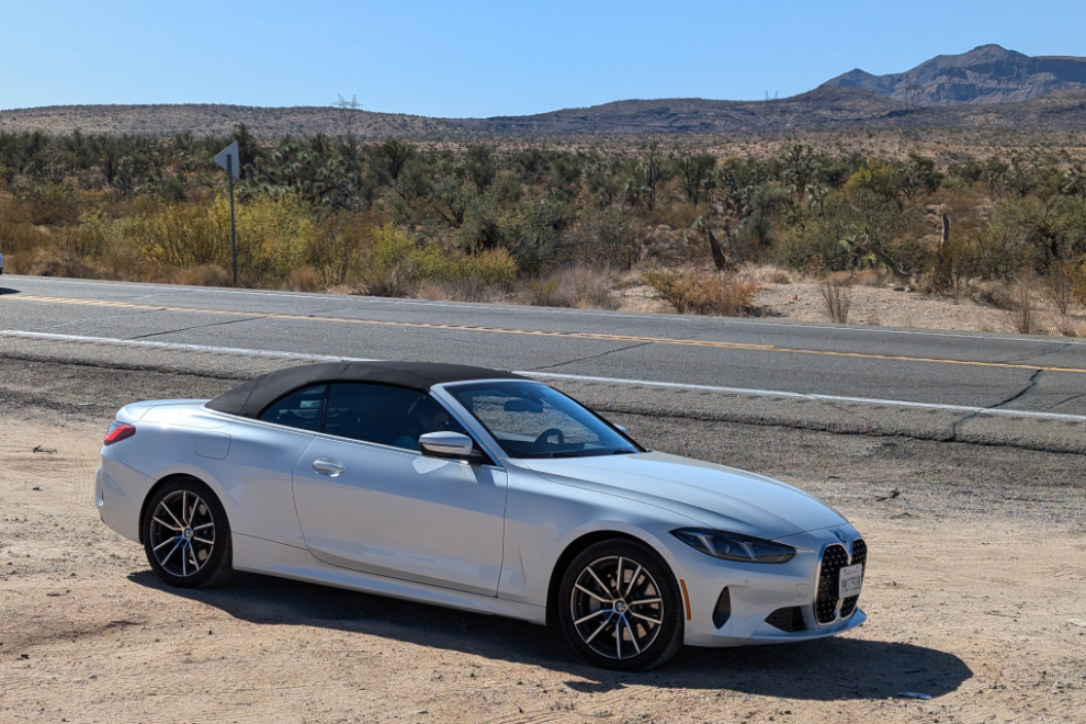
This was also a pretty good spot for a portrait of the car.
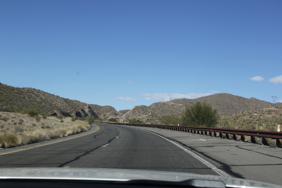
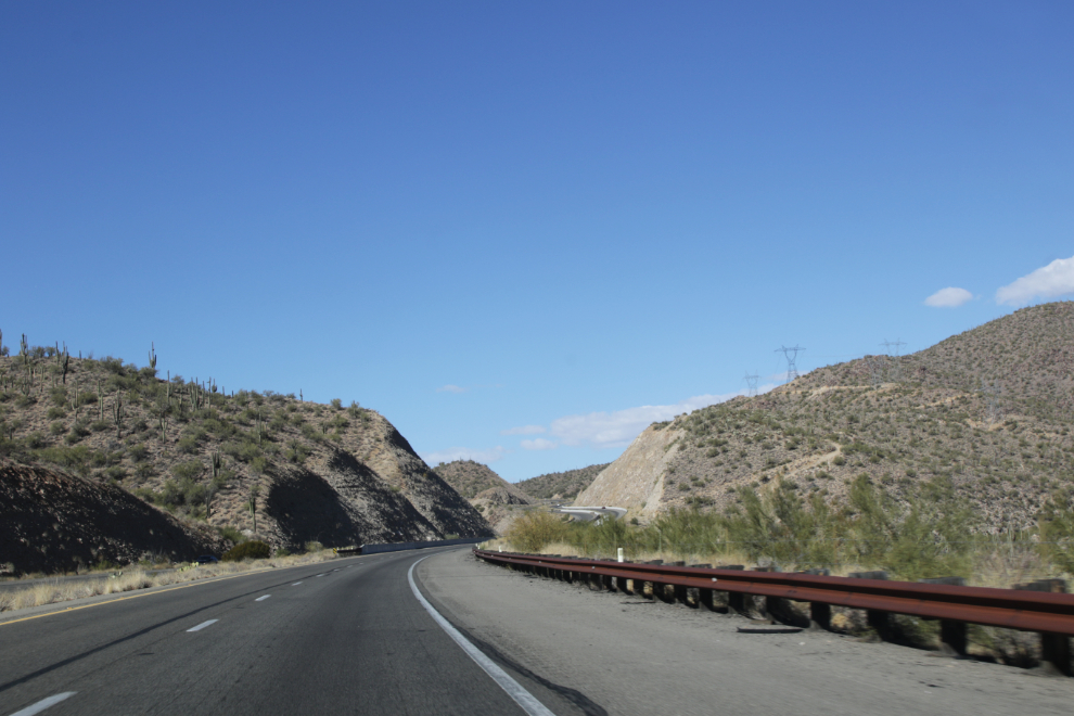
Back on the road. At 12:05 we entered a pass just north of the Santa Maria River and I shot the next two photos.
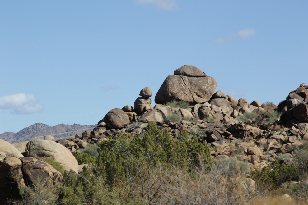
Just five minutes later, the terrain changed dramatically, with strange rocks piled in many places. I can only guess that their origin is volcanic.
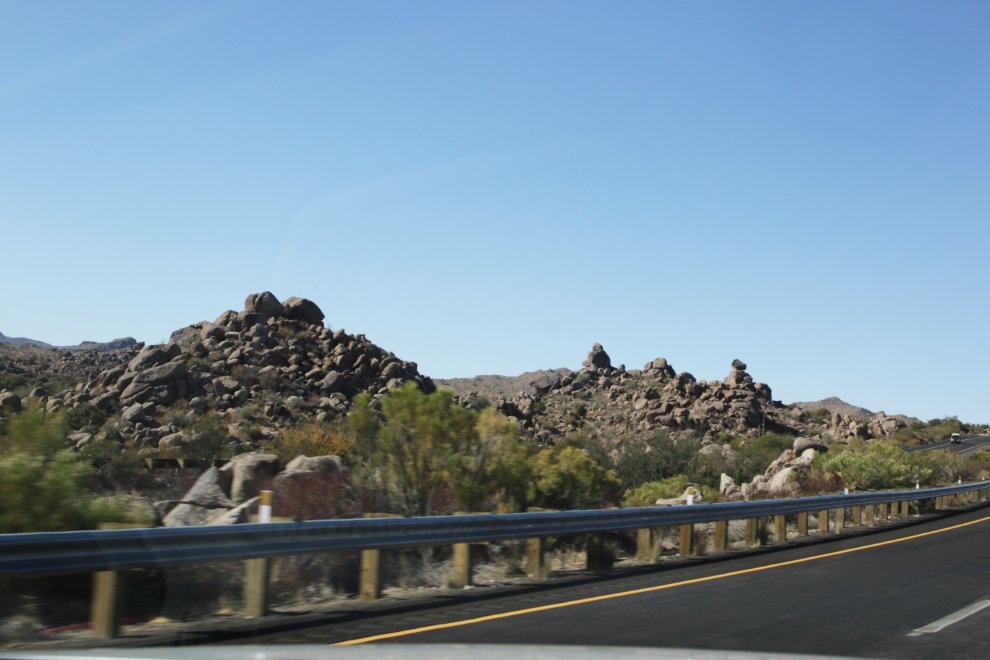
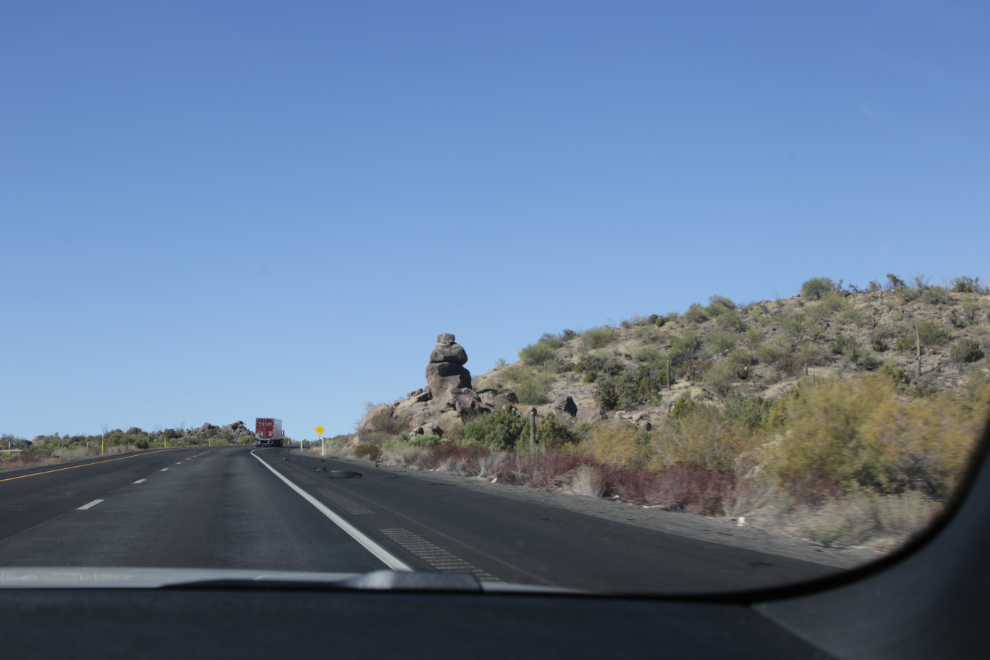
A large pullout at a particularly good spot allowed us to go for a walk for a good look at them.
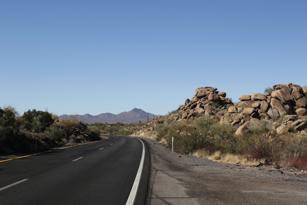
This was the first of many places where we both thought that perhaps having a Jeep would be great 🙂
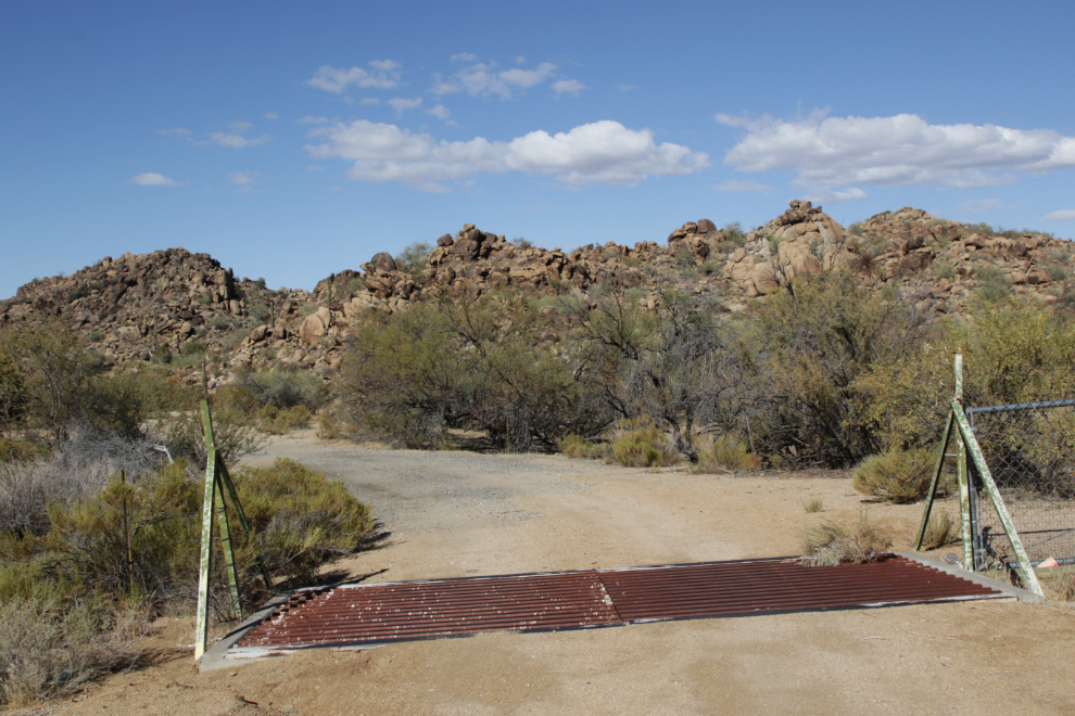
The further we walked at that spot, the more interesting the piles got.
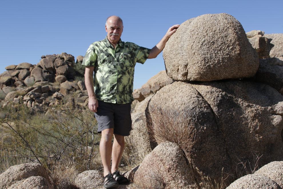
This small pile was easy to access for some scale showing how large they are.
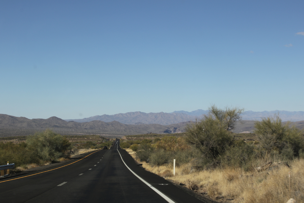
I had chosen the route of the trip to get the best combination of desert and mountains I could find, and by now I was very pleased with how it was going, even though the highways weren’t very tourist-friendly, with high speeds and few pullouts.
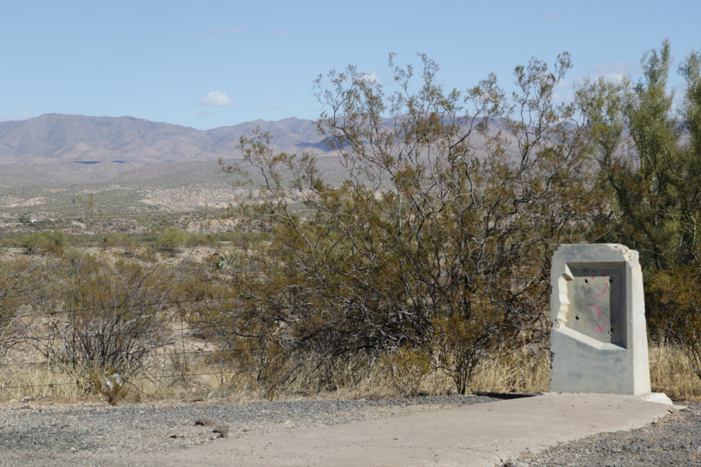
About 45 minutes from Kingman there was a prominent sign noting a historic site ahead. We of course stopped, only to find this and nothing else 🙁
We arrived at Kingman – at the Route 66 center specifically – at about 1:45. I have a lot to show you there, so that will be the next post.

The speed limit is treated as a suggestion. 🙂 The speed limit on the loop around Indy is 55 mph but I’ve read the average speed in the outer land is 74. You mentioned the population of Phoenix and it reminded me of my wife’s recent trip to Japan. The population of Tokyo is 37 million and the metro area is 41 million.
It’s fun to drive out in the country because it’s pretty wide open and not much traffic. The one thing we had to watch was the time when we scheduled a tour. Arizona does not go on Daylight Savings Time EXCEPT for the Indian reservations and they observe it. It kept you on your toes. 🙂
Yes, the speed limits from Phoenix north were clearly not meant to be taken seriously. Daylight Savings Time is complicated enough without throwing that sort of nonsense into the mix! I’m sure glad we don’t change our clocks in the Yukon anymore.
Thanks for the nice desert 🌵