Exploring the historic Suquash Coal Mine near Port Hardy
After a fabulous morning on the water at Port McNeill on Day 23, May 18th, we still had plenty of exploring time, so hiked in to the historic Suquash Coal Mine near Port Hardy.
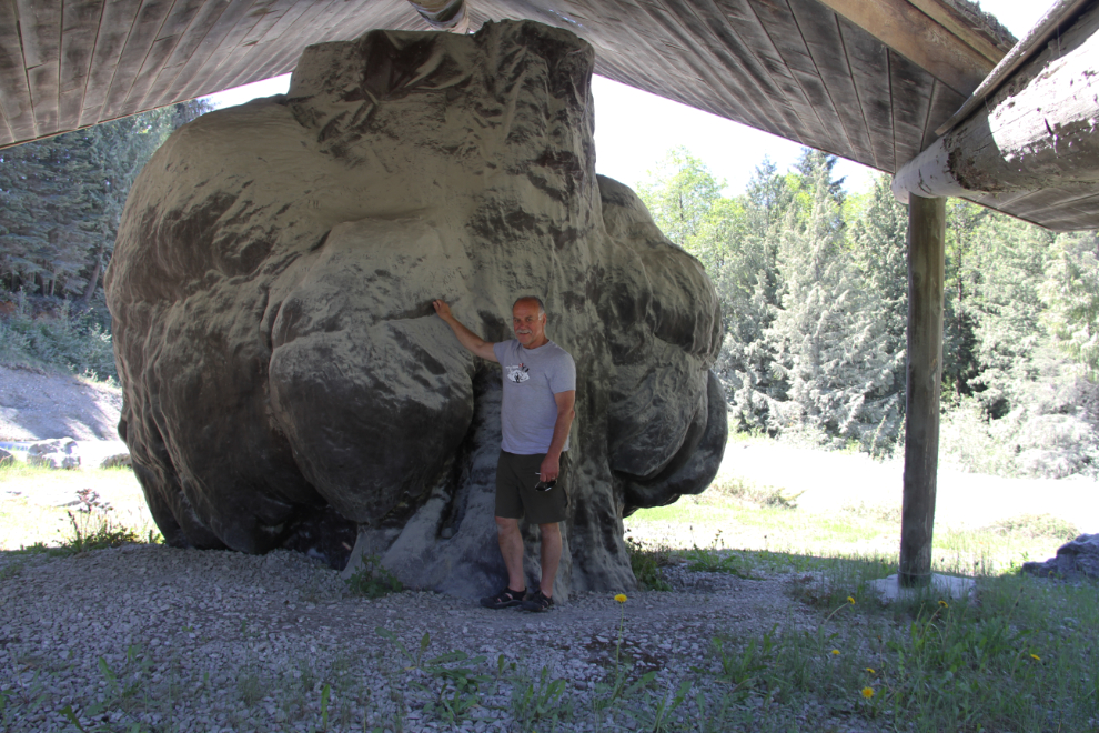
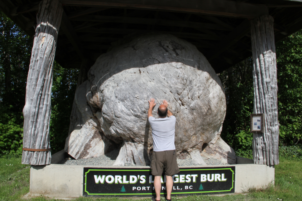
Bobbie started this tour by showing us the “World’s Largest Burl” – that is actually the second largest due to a more recent discovery that we’d see later. Many sources still call this one the largest, and the group of motorcyclists that Bobbie told about the new one were quite disappointed. An interpretive sign in front of the burl shed says: “This spruce burl was discovered by MacMillian Bloedel engineers who were surveying future logging roads at the head of the Benson River about 40 kilometers southwest from here. It was moved to its present location in 1976 by employees of this logging division.
This burl was growing at the base of a 350 year old spruce tree. The tree was 79.6 meters (271 feet) in height and 1.8 meters (6 feet) in diameter at the cut of the burl. The weight of the burl, when it was moved, was 20,361 Kg (44,947 pounds or 22 tons). Its circumference at the widest point is 18.7 meters (45 feet).
All wood is attacked by various diseases and pathogens including fungi and insects. Over the years, areas of decay and rot were developing throughout the burl. To prevent further decay a layer of fiberglass was molded over the burl in 1997. This will increase the life of the burl to enable it to be enjoyed for years to come.
The two small notches in the face of the burl were cut to enable the faller to climb onto the burl and fall the tree. Burls are abnormal swellings of the main stem or branches and are among the most conspicuous of stem diseases. They vary considerably in size, and in rare cases, will reach a meter or more. They do not occur in sufficient abundance to warrant any management concerns. Burls result from a disturbance to the cambial layer. The cause of disturbance in most cases is unknown.”
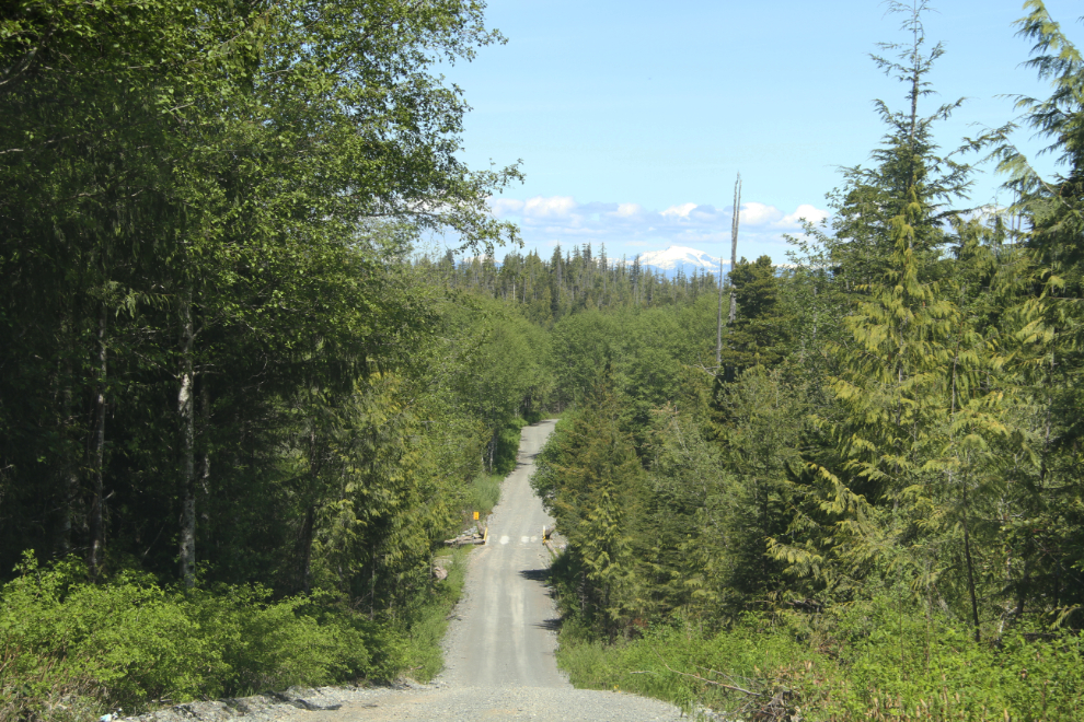
At 1:30, we turned off the Island Highway (BC Highway 19) onto a former logging road.
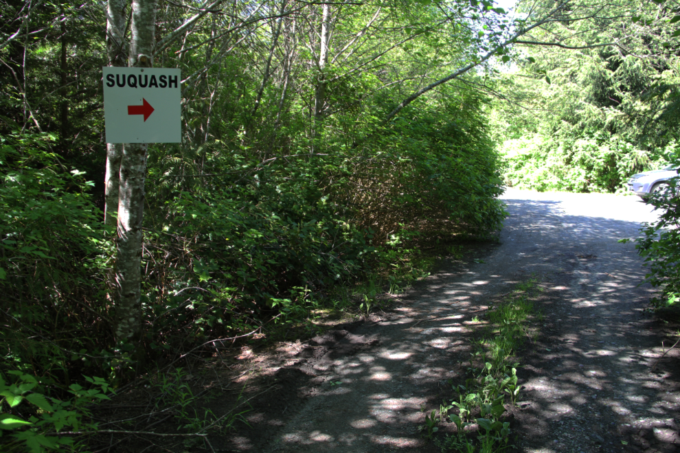
Luckily, a sign points out that you’ve reached the start of the trail. Bobbie didn’t need the confirmation, but first-time visitors would find it a comfort.
Trailheads can grow over very quickly in this climate. The “parking area” only holds a couple of cars.
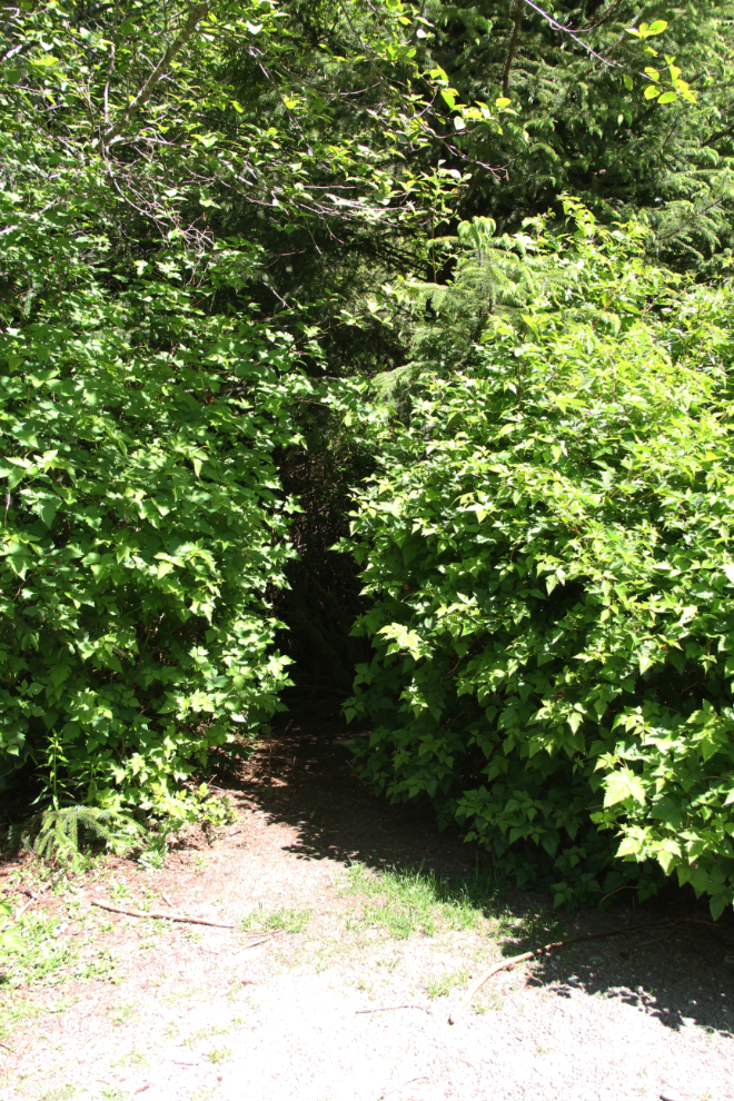
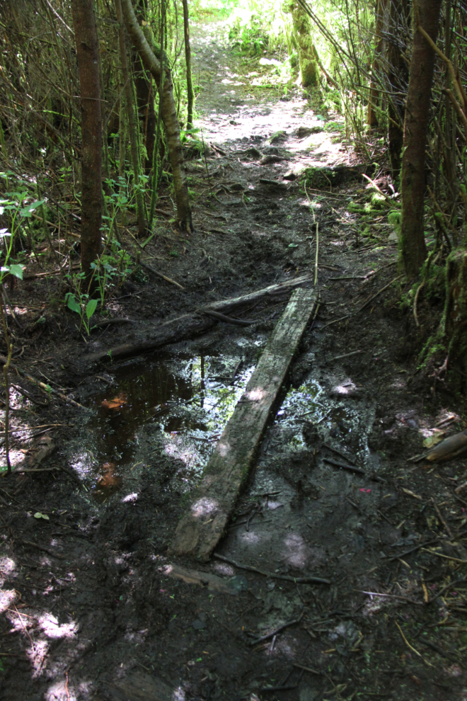
It appears that the trail can get very sloppy, but the mud was fairly easy for us to avoid. It was immediately clear that the extremes of light from sunshine to deep shadow, were going to be a challenge for photography – results would be much better on a cloudy day.
It only takes about 5 minutes to reach the first sign of the Suquash coal mine. This was the first coalfield to be discovered in British Columbia. In 1835, Indians from the Beaver Harbour area brought specimens of coal to Dr. W. F. Tolmie of the Hudson’s Bay Company (HBC) at Fort McLaughlin (Bella Bella). In 1847, the HBC decided to open a mine in this area to supply steamships with bunker fuel. A party of miners arrived from England in 1849, and mining was carried out on a limited scale until 1852. About 10,000 tons of coal were mined, before the workings were abandoned after the discovery of richer coal deposits at Nanaimo.
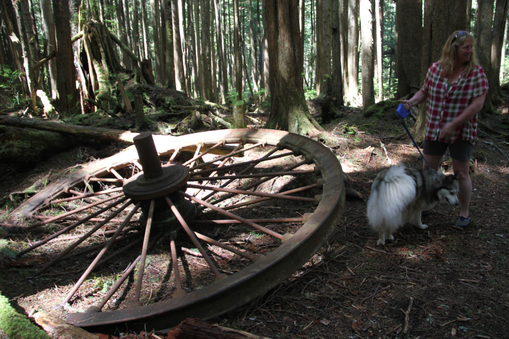
Most of the equipment and stoneworks that remain seem to date to 1908, when Pacific Coast Coal Mines Ltd. started work here, or 1920-22 when they returned after shutting down during World War I. These large pieces of equipment are often identified as shovels…
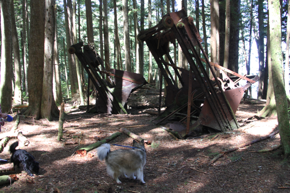
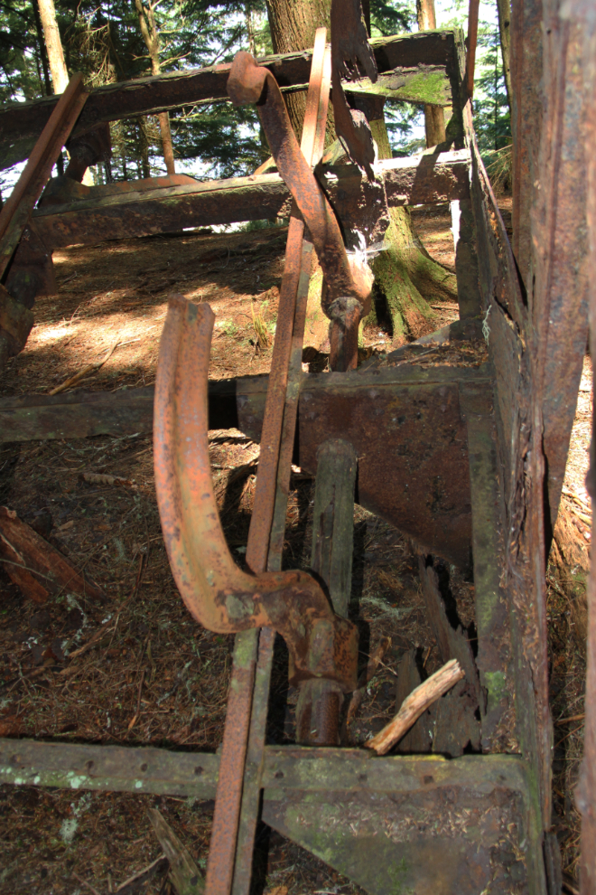
…but close inspection makes me fairly certain that they are dumping mechanisms for small railway cars.
The most impressive remaining stoneworks are the chimneys from what is commonly reported to be the mine manager’s residence. That seems to me to be very likely. Many of the images that follow were shot and processed as HDR images to deal with the lighting extremes.
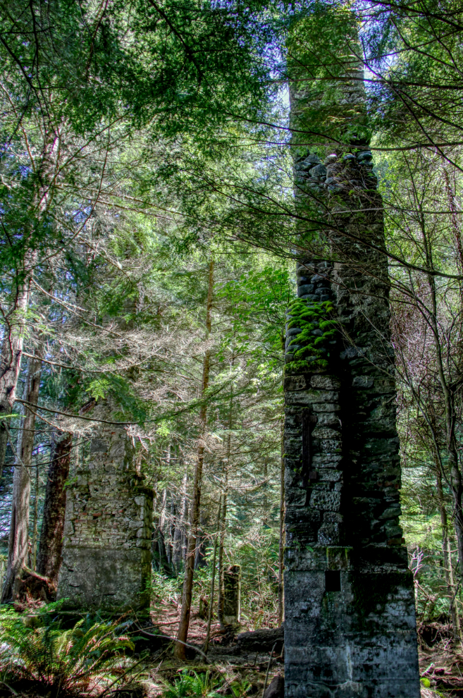
I’ve been unsuccessful in finding a photo of the residence, but it must have been very impressive. The various types of stone and brick used in the chimneys and fireplaces show a high level of skill at the trade.
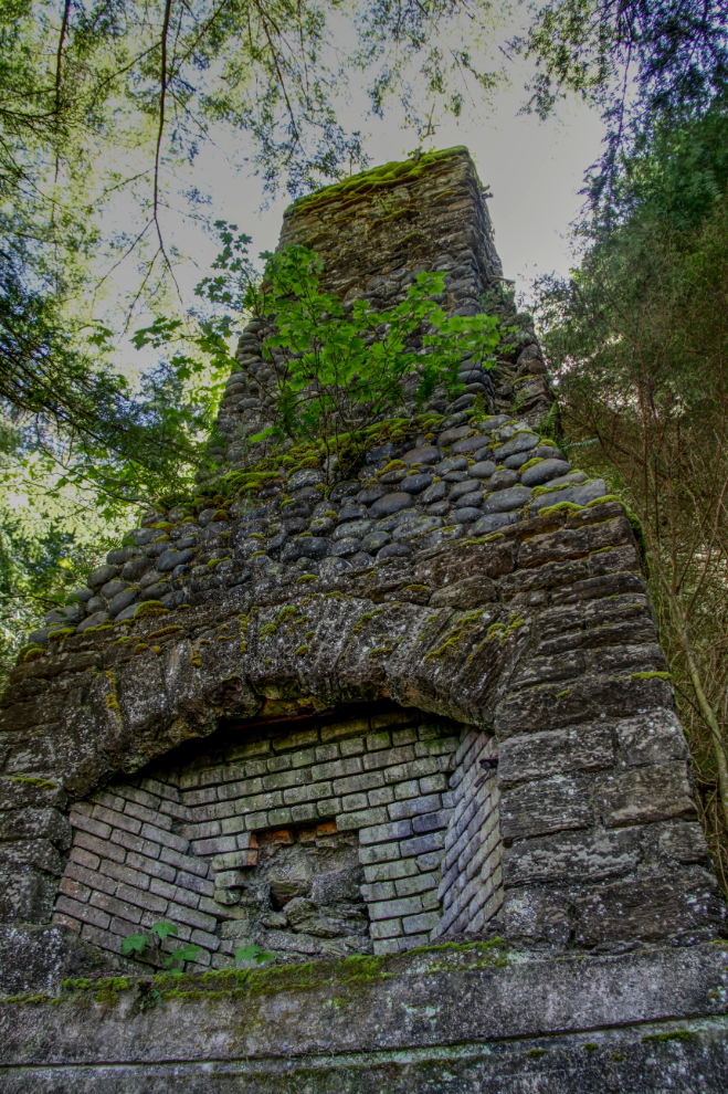
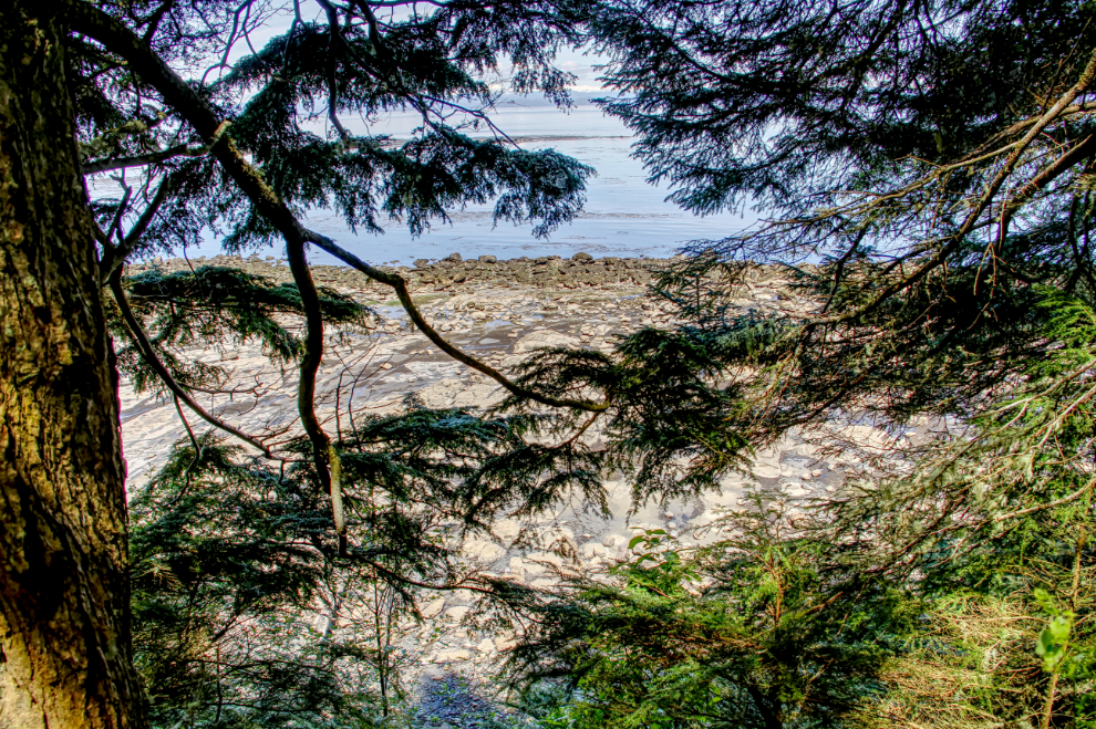
The trees between the residence and Suquash Bay would no doubt have been cut down during mine development, offering a superb view.
Another view of the manager’s residence.
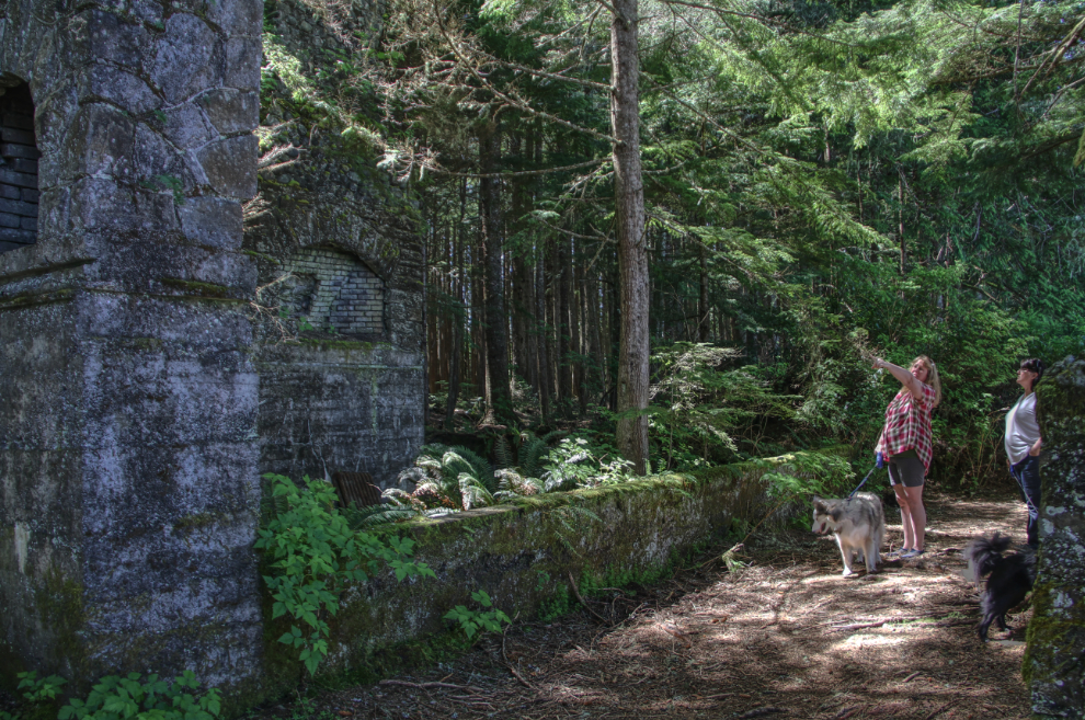
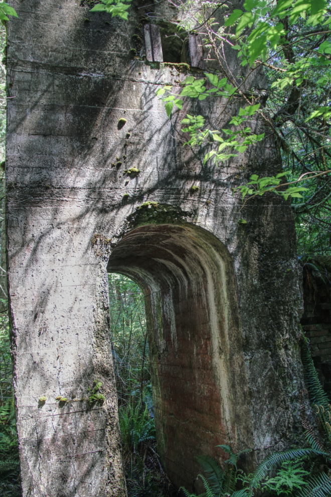
Moving on to the mine itself, we came to this concrete structure whose purpose I haven’t been able to figure out.
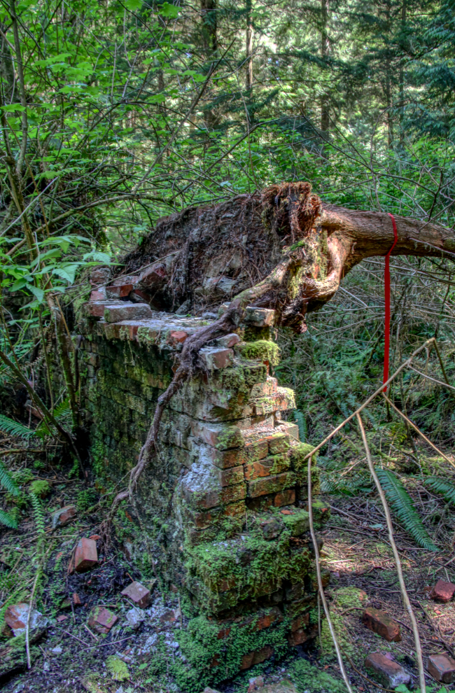
A tree that had been growing on a brick wall for many years has recently toppled. The brick wall is just a few feet from the concrete structure seen in the previous photo.
A large steam winch was the first piece of equipment we came to at what appears to be the main mine working area.
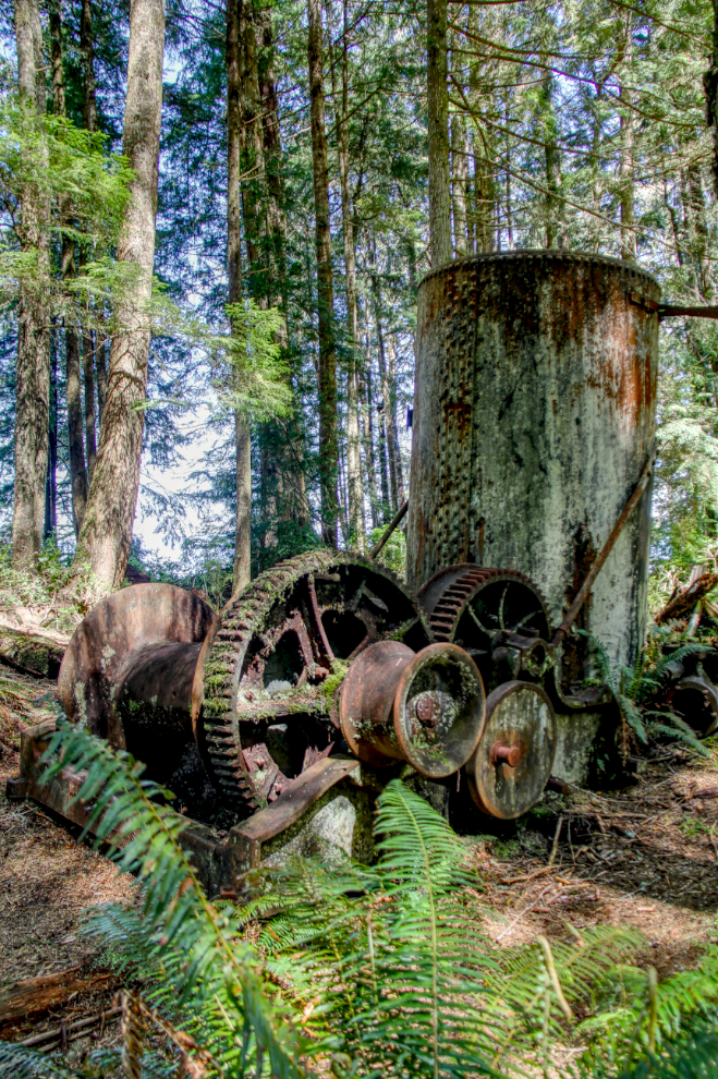
This drum would have held hundreds of feet of cable. I expect that this was the primary drum for lifting coal cars out of the shaft.
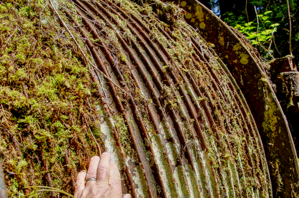
The drum seen above is on the large engine seen behind the steam winch.
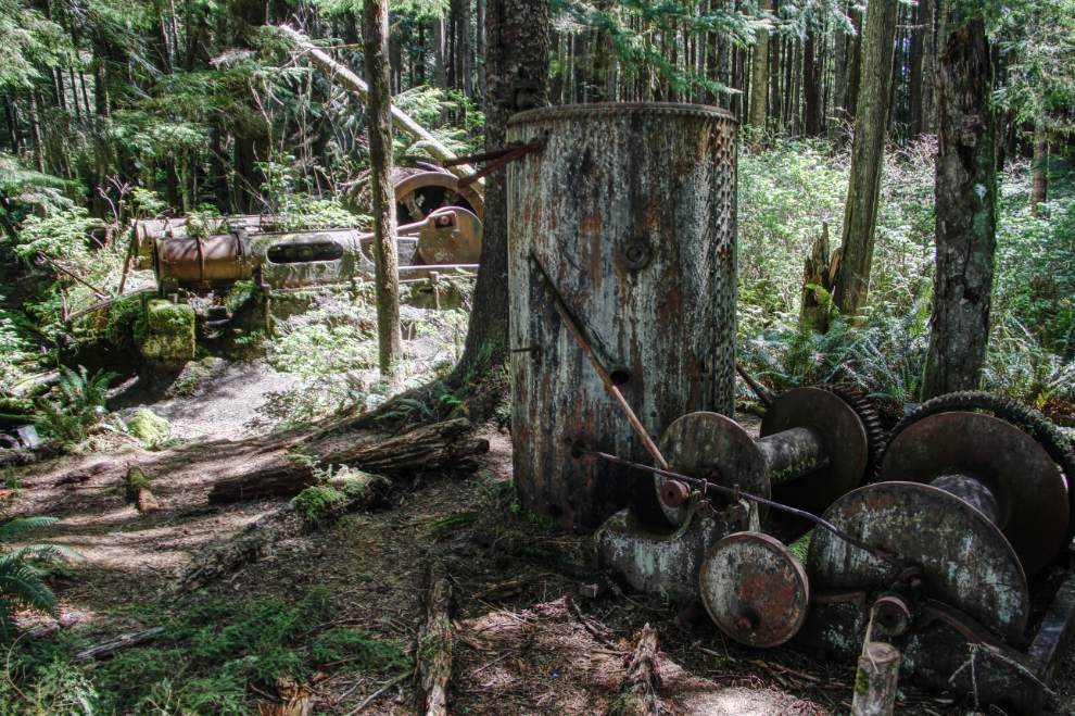
This may have been the main shaft. Located further from the shore than the equipment we’d been studying, it’s a concrete wall about 40 feet square, with what now looks like a moat around it. Inside the concrete wall are pieces of pipe sticking out, but heavy vegetation and darkness keep its internal secrets secure.
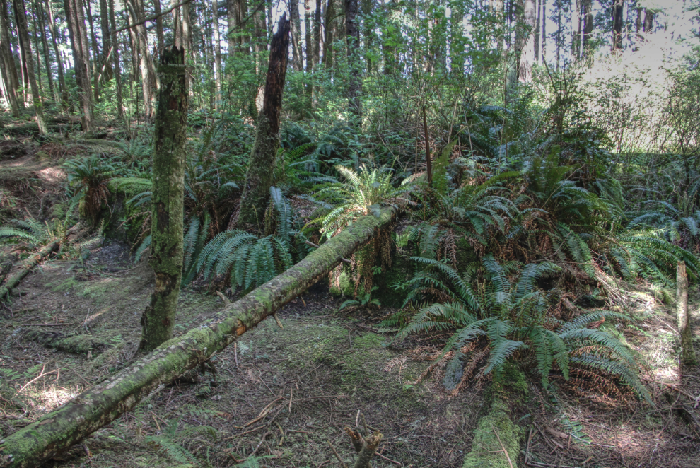
With the mine property covered as much as we could, Bobbie wanted to show us some interesting trees in the area. This massive lightning-struck one was impressive.
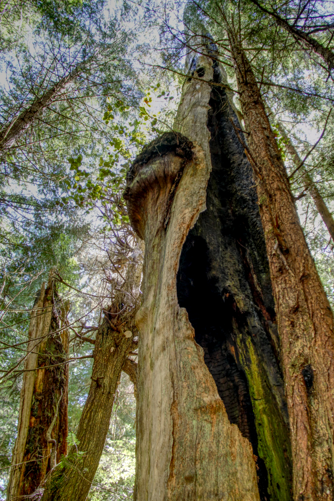
Another intriguing tree. I wonder what could have caused it to grow like this?
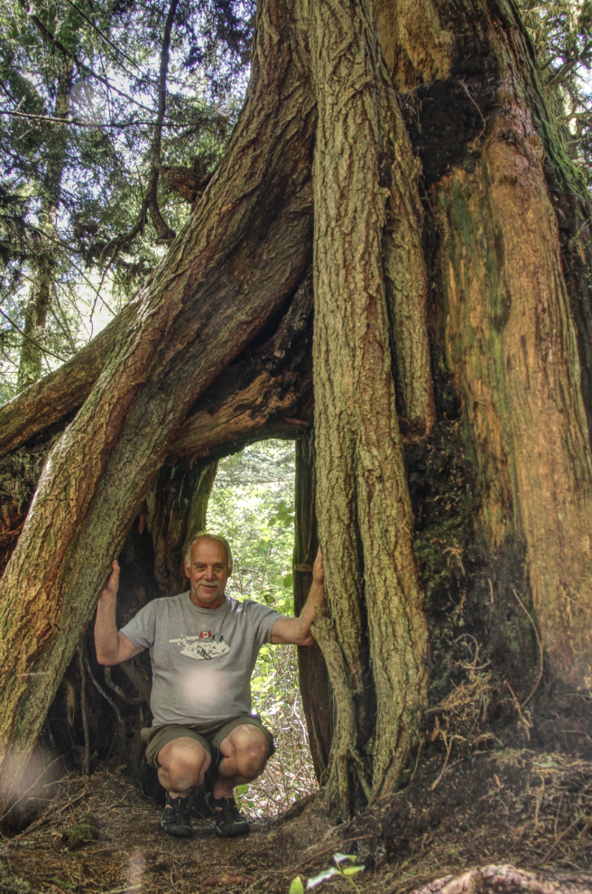
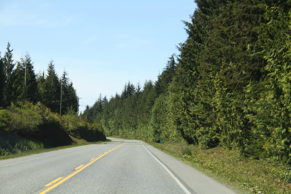
AfAfter our very enjoyable mine exploration, Bella and Tucker were due for a leash-free romp. At 3:00, we were back on the Island Highway (Highway 19), with the very thick forest looking like a hedge in many places.
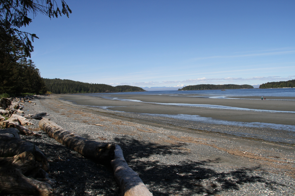
Bobbie wanted to show us one of her favourite beaches, Storey’s Beach (often incorrectly spelled Stories Beach). Wow, it is a stunner!
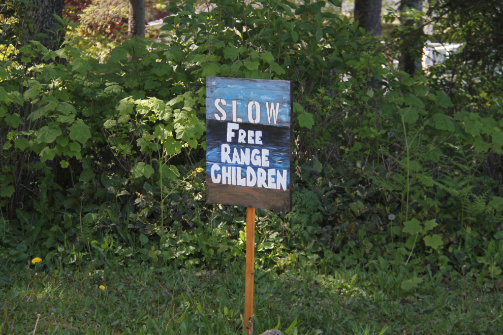
The beach is lined with very nice homes on extra-large lots. One of the residents has a great sense of humour 🙂
Some small, very white hills on the far side of the bay are intriguing. I expect that they are shell middens from old villages.
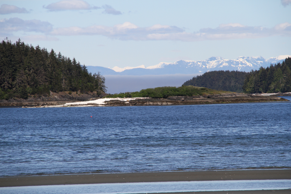
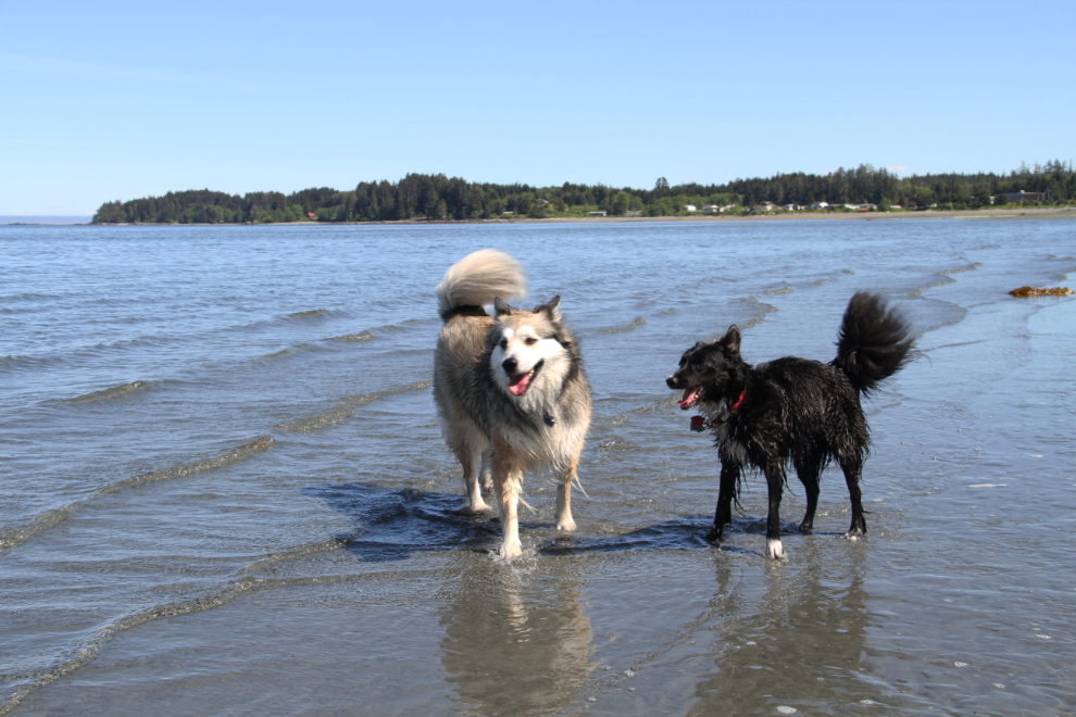
It was low tide when we arrived, and I took Bella and Tucker far out to the water. They had a ball!
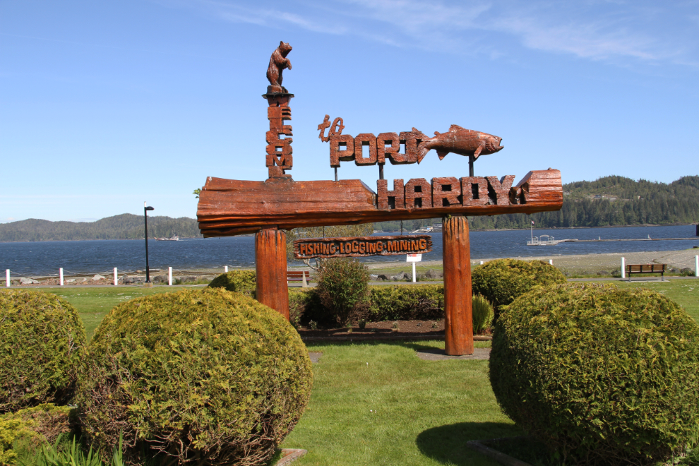
Next, we had a bit of a look at Port Hardy. The last time I was here was probably about 1971, but I have no memory of anything specific.
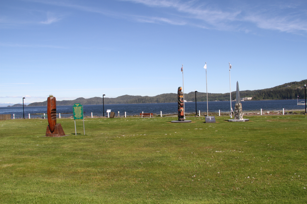
At the left of this photo of the shoreline park in Part Hardy is a large wooden carrot. The sign beside it says: “Historic Site. The Carrot Campaign. This carrot, marking the northern end of the Island Highway, is a symbol of government road building promises, dangled in front of North Island settlers since 1897. The successful late 1970s ‘Carrot Campaign’ was aimed at making the government keep promises of a completed Island Highway.” I love the North Island! 🙂
Back in Port McNeill just before 5 pm, our final stop was at the actual “World’s Largest Burl.” “The ‘Ronning Burl’ was donated to the town of Port McNeill by Western Forest Products Inc in 2005. It originated from a 525-year-old Sitka Spruce tree in the Holberg area. With an approximate circumference and weight of 13.7 meters and 20+ tons, the Ronning Burl is unofficially the World’s Largest Burl.
That evening, we had a barbecue feast of fish from our morning outing, and around a campfire overlooking the ocean, made plans to take a ferry to Alert Bay the next day.
