Hiking to Sechelt Rapids, Skookumchuck Narrows Provincial Park
The hike into Skookumchuck Narrows Provincial Park to see the tidal Sechelt Rapids was a last-minute addition to the itinerary after several people told me that it was a must-see. So on Day 43 of the trip, June 7th, we made the 8-km (5-mi) hike, then continued south to Sechelt.
Before I get started on this day, I want to back up to the previous evening for a minute. Following a mention of the Sunshine Coast a couple of weeks ago, my friend Shannon in Whitehorse told me that a long-time buddy of hers owns a fish and chip shop in Garden Bay, LaVerne’s Grill. Then a woman at the Backeddy Marina told me that LaVerne’s was her favourite fish and chip shop. After being left alone all day while I was on the Princess Louisa Inlet tour, Bella and Tucker needed a treat, so just before 4:30, we started the short drive.
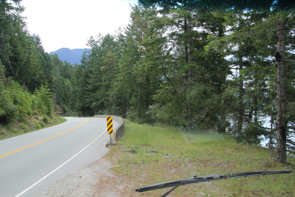
It’s only 27 km (15.4 miles) from the Timberline RV Park to LaVerne’s Grill, but it’s a very winding, wandering 27 k. As I drove along, I was also looking for a place where I could park the motorhome, unhook the Tracker, and take the Tracker for the hike. There was a perfect spot just south of the turnoff to Egmont and Skookumchuck.
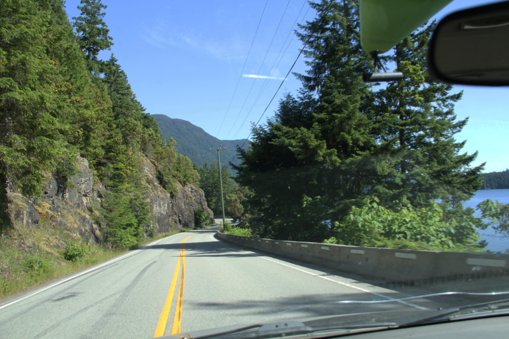
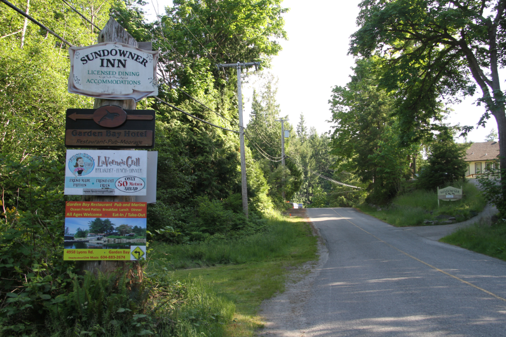
Entering Garden Bay, which apparently is part of Pender Harbour. LaVerne’s would be pretty hard to miss.
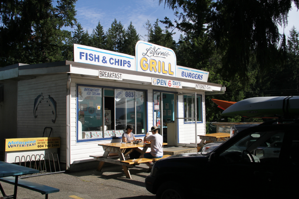
The visit to LaVerne’s Grill was both fun and delicious. It has a 1950s diner feel to it, so that put it off to a good start for me. Then, LaVerne was happy to get greetings from her old friend, and the 3-piece ling cod and chips I ordered (for only $18.95) was extremely good (“only the best ling cod in BC”, the sign says). Bella and Tucker seemed to agree 🙂
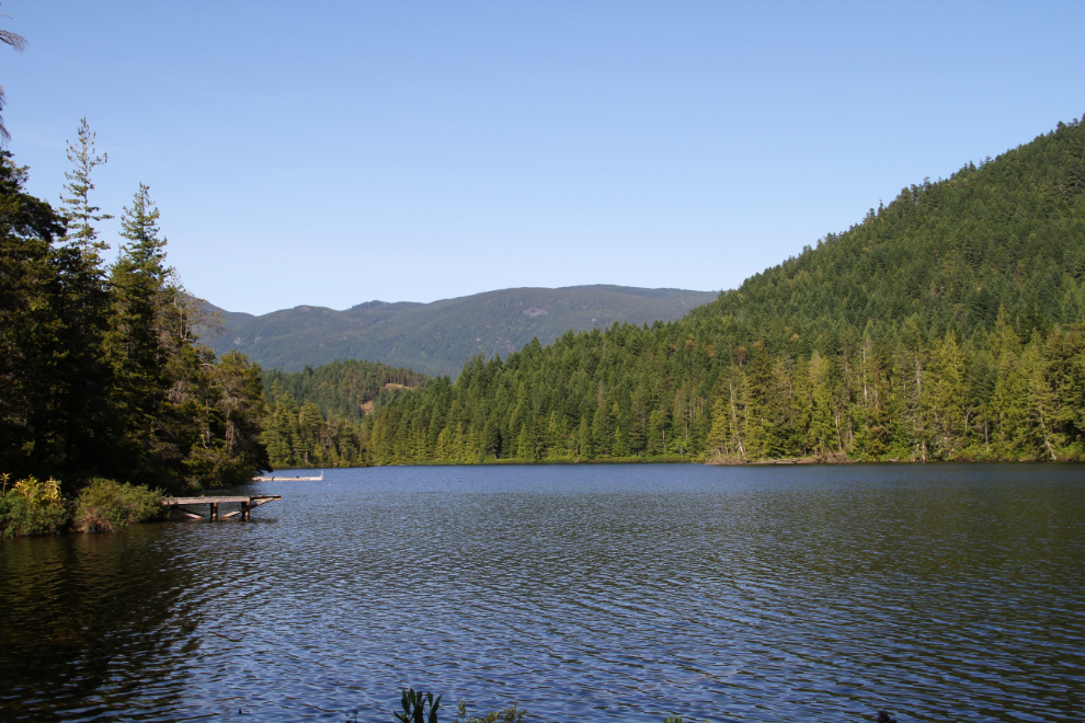
Heading back to the RV park, the road winds around Garden Bay Lake. It was quiet this evening, but I’ll bet that it gets crazy-busy in a few weeks. LaVerne said that her shop certainly does.
The next morning, we were on the road at 09:30, and a few minutes later, I parked the rig on a wide shoulder, unhooked the Tracker, and we drove another 7 km to the trailhead at Skookumchuck Narrows Provincial Park. The hike was timed to get us to Skookumchuck Narrows to see a -XL (extreme ebb tide) at 11:25 – tides are what create the Sechelt Rapids at the narrows, and extreme tides create the best action.
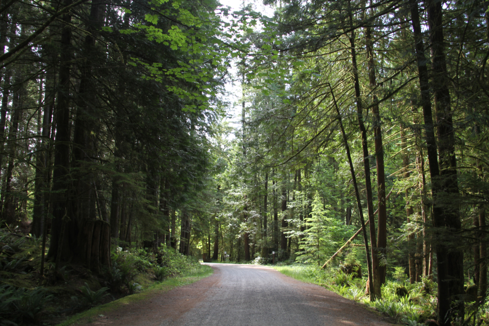
The hike to the narrows and Sechelt Rapids starts on a road through a forest and then there’s a residential area along the sea side of the road.
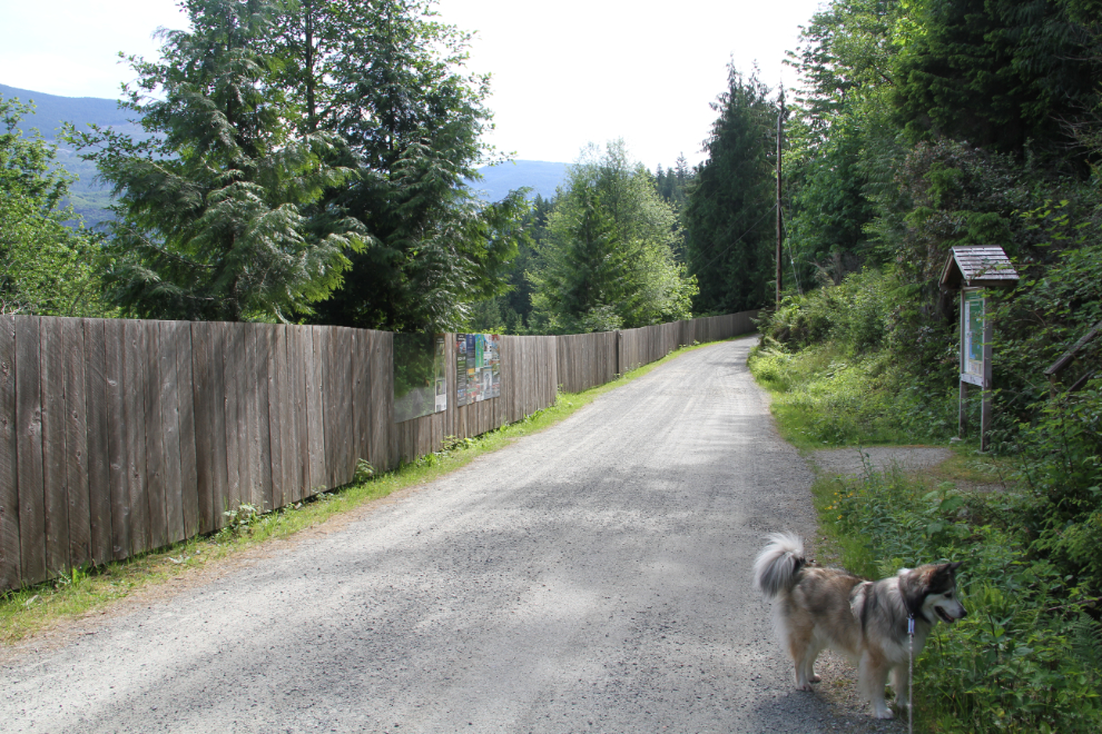
This scene made me think of the 1960s song “Signs” by the Five Man Electrical Band:
Sign, sign, everywhere a sign
Blockin’ out the scenery, breakin’ my mind
Do this, don’t do that, can’t you read the sign?
And the sign said anybody caught trespassin’ would be shot on sight
So I jumped on the fence and I yelled at the house
“Hey! What gives you the right?
To put up a fence to keep me out, or to keep Mother Nature in?”
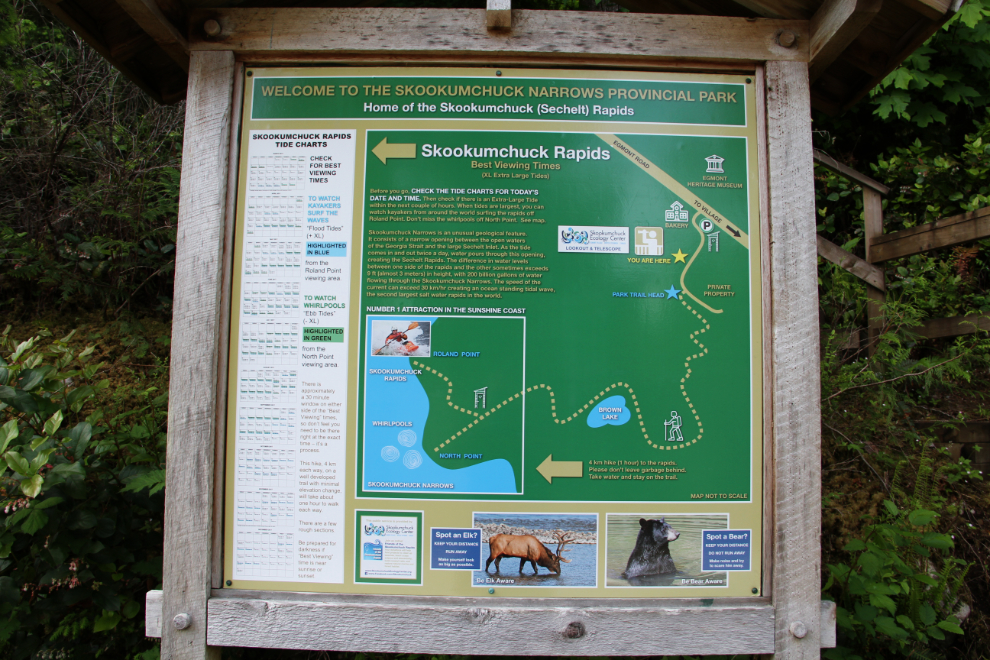
Some signs are good signs, though 🙂 This one includes a table listing the best viewing times and locations. It says that for the ebb tide I was going to see, North Point was the best viewing location. The ebb tide produces rapids and whirlpools, while flood tides produce rapids with standing waves that attract kayakers.
We reached the actual trailhead with its many “No Parking” signs, at 10:15. That would get us to North Point nice and early.
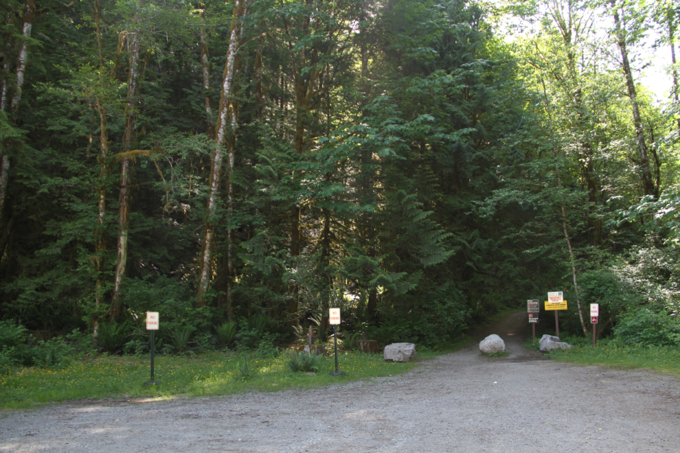
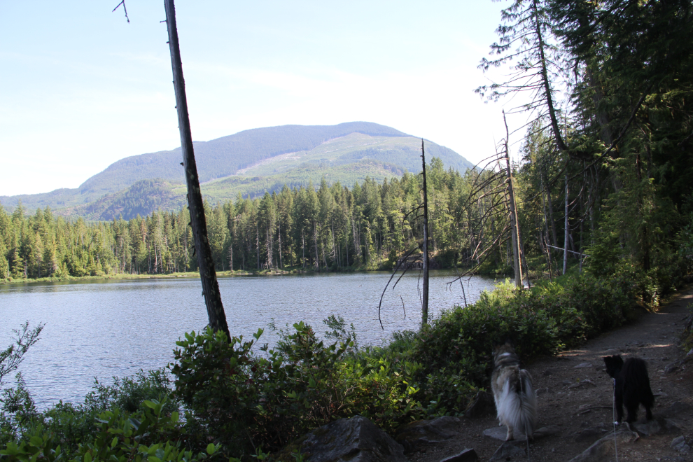
The trail is good, with some fairly minor ups and downs. At 10:40 we passed Brown Lake.
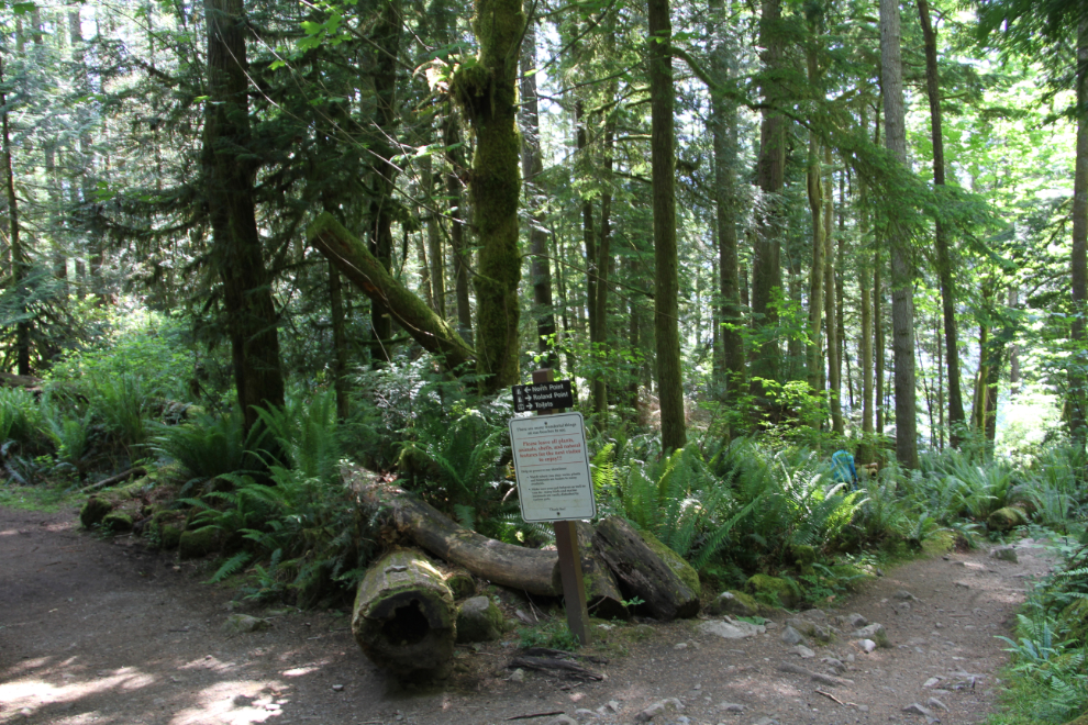
The trail divides here – North Point for ebb tide viewing is to the left, and Roland Point for flood tide viewing is to the right.
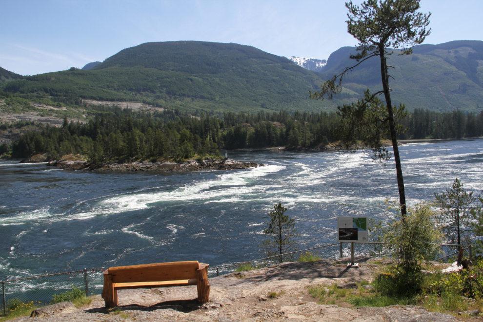
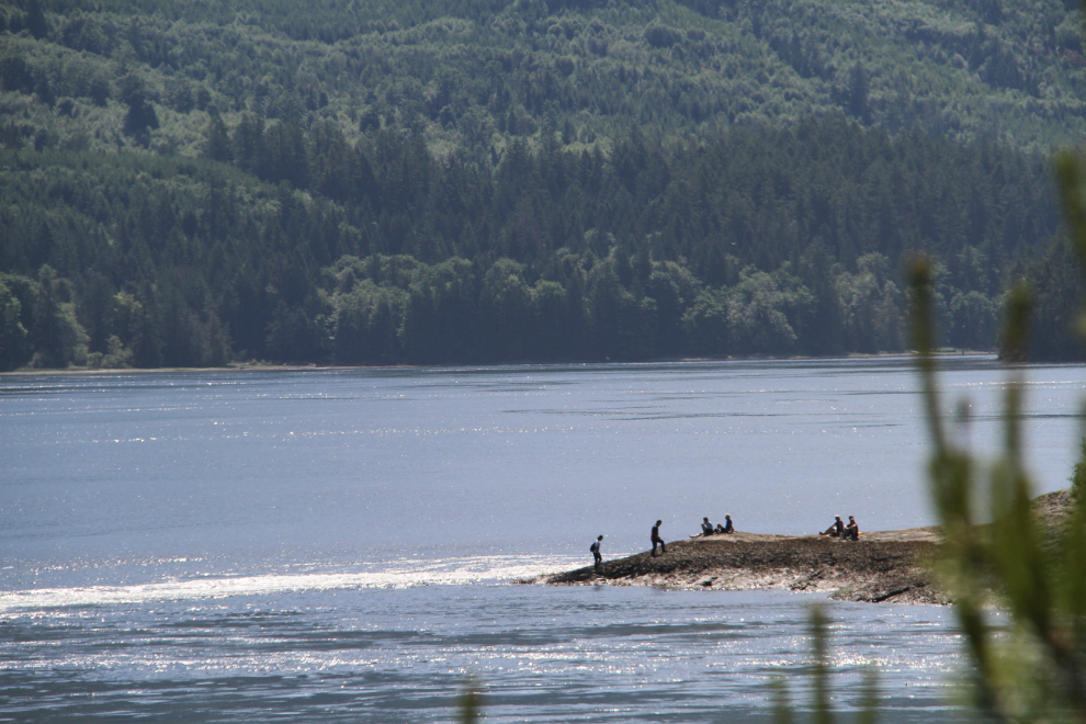
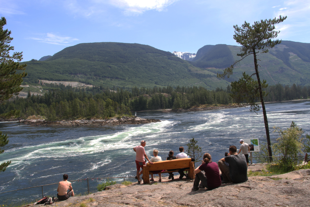
The North Point viewing area at Skookumchuck Narrows. Only 2 other people were there.
Several people were down at Roland Point. Odd. Did they not read the information brochures and/or signs?
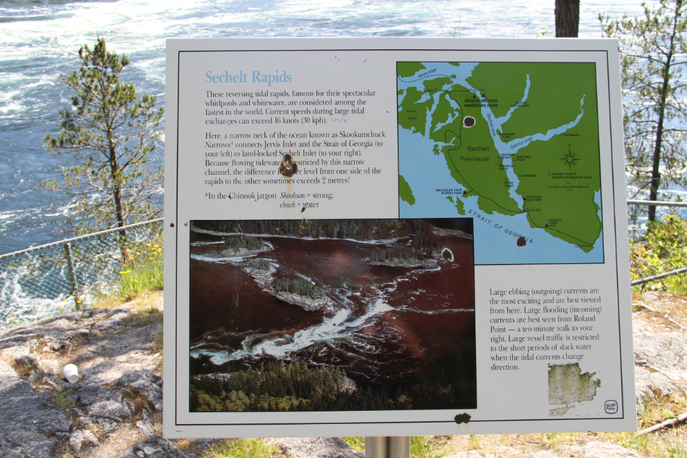
“Sechelt Rapids. These reversing tidal rapids, famous for their spectacular whirlpools and whitewater, are considered among the fastest in the world. Current speeds during large tidal exchanges can exceed 16 knots (30 km/h). Here, a narrow neck of the ocean known as Skookumchuck Narrows connects Jervis Inlet and the Strait of Georgia (to your left) to land-locked Sechelt Inlet (to your right). In the Chinook jargon, Skookum = strong, chuck = water. Because flowing tidewater is restricted by this narrow channel, the difference in water level from one side of the rapids to the other sometimes exceeds 2 metres! Large ebbing (outgoing) currents are the most exciting and are best viewed from here. Large flooding (incoming) currents are best seen from Roland Point, a ten-minute walk to your right. Large vessel traffic is restricted to the short periods of slack water when the tidal currents change direction.”
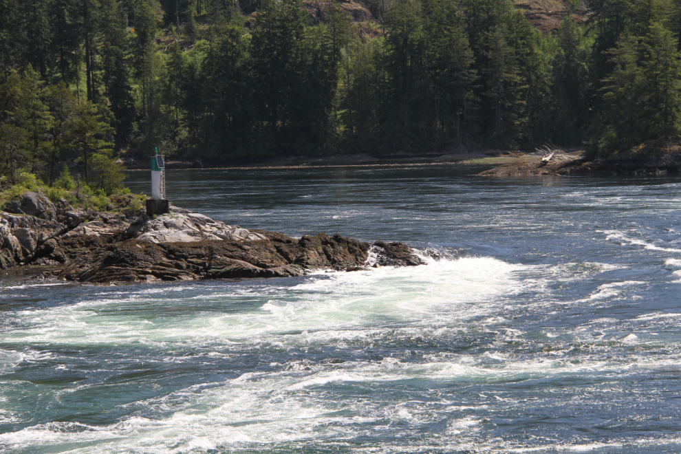
At 11:00, 25 minutes before the maximum flow would happen, there were some good rapids by the light on the far side of the narrows.
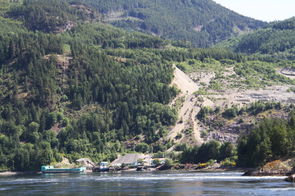
On the far side of the channel is another gravel operation. I’m curious about what makes this gravel so special that it’s shipped all down the West Coast (and maybe even further).
More and more people started arriving for “the main event” after 11:00.
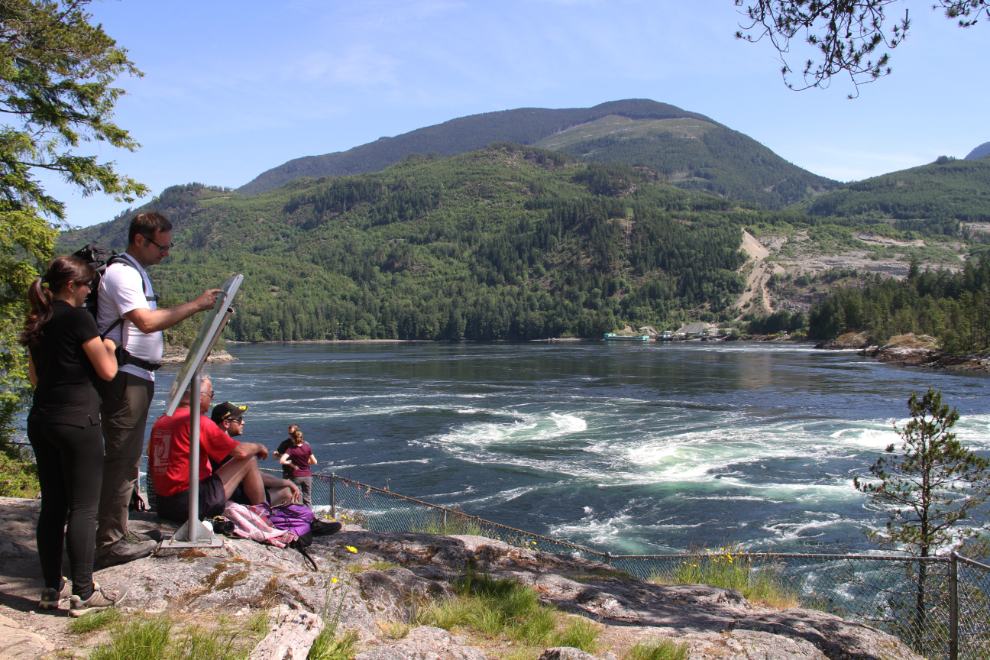
11:18 – the whirlpools were getting more and more extreme. All the information I’ve seen says that the best viewing time is within a half hour of the actual maximum current. No it isn’t – the differences even within a few minutes are huge.
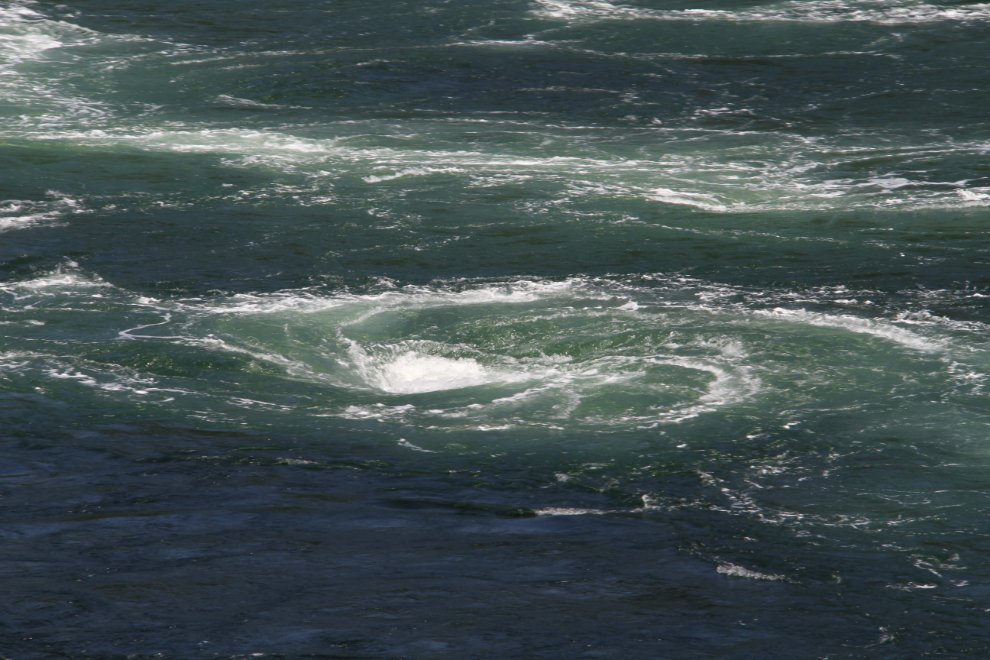
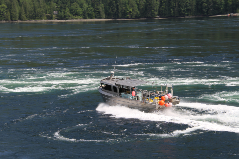
11:19 – even pros need to play every now and then 🙂
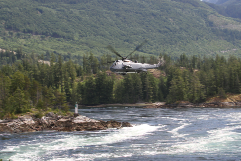
Three minutes before maximum flow, an RCAF helicopter came by low and fast – cool!
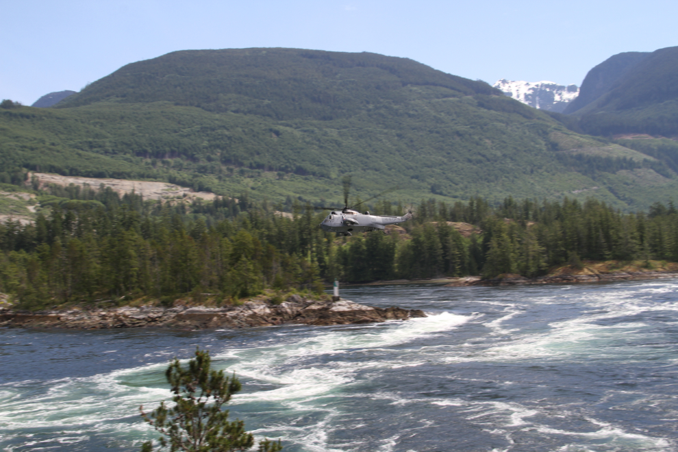
When I took this final shot at 11:31, the whirlpools were already noticeably less extreme, so we started walking back to the car.
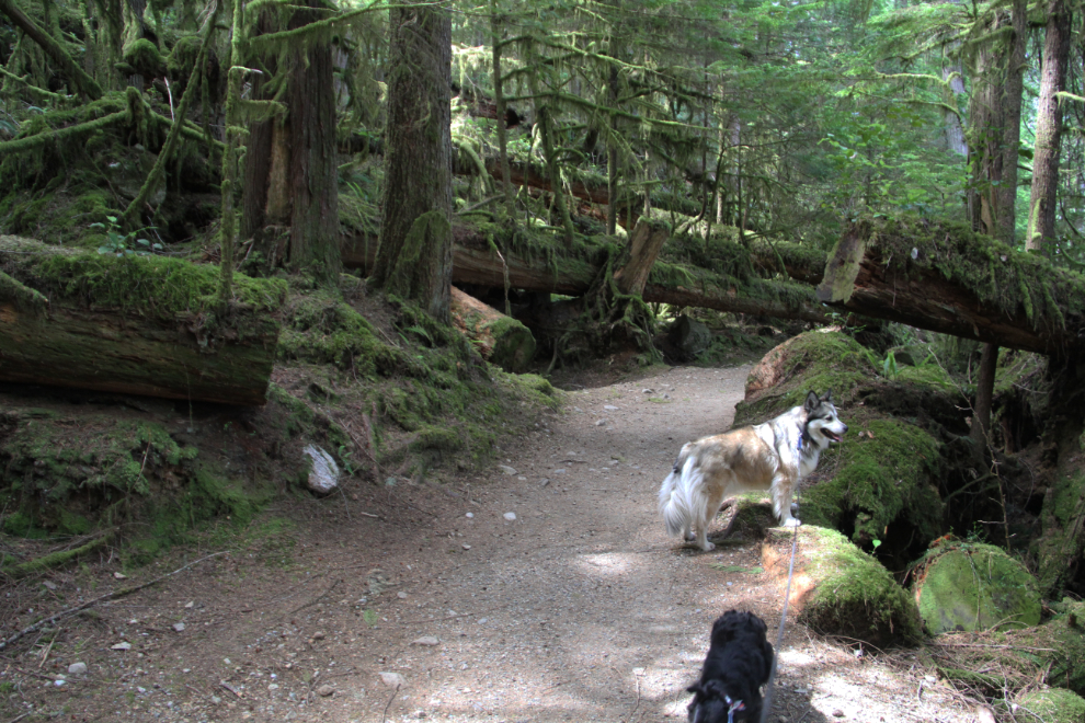
On the way out, we met a lot of people walking in. Bella and Tucker are both geting so good on the trails now – even an “on By” command is rarely needed, for people or dogs. When people ask to meet them, they’re very respectful.
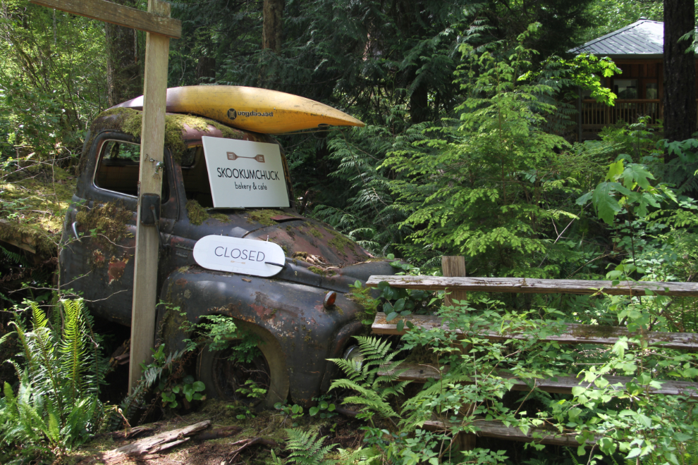
A sign at the Skookumchuck Bakery & Cafe said that they were closed to attend a family wedding. Too bad, places like this are often very good.
By 1:00, I had the Tracker hooked up to the motorhome again, and we were headed south, with Porpoise Bay Provincial Park at Sechelt the planned destination for a couple of days.
