A day trip to Jasper, Alberta
Saturday was intended to be an inside day catching up on paperwork, but it didn’t work out that way.
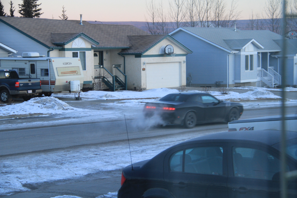
Just before 08:00, the kids left for Edmonton, en route to Maui. With the wind chill officially at -49°C (-56°F), Maui sure sounded like a good idea to me!
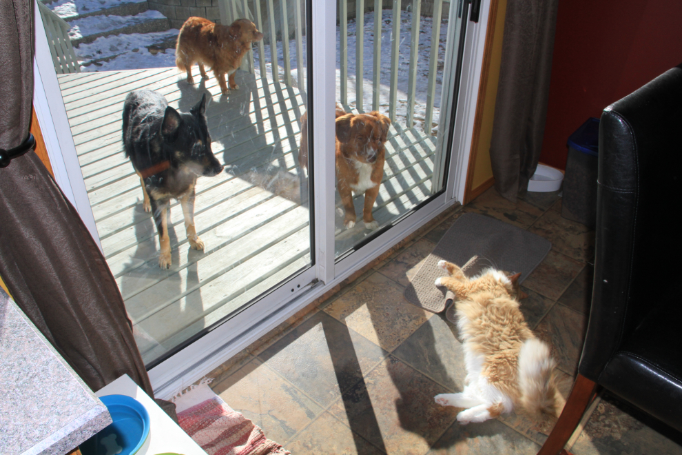
Here’s my fur-family for the next 11 days – Leah is the German shepherd, Gracie the older Nova Scotia Duck Tolling Retriever (“toller”) in the back, and Odin the toller youngster, with Conan guarding the door, confident that the glass and/or I will protect his position 🙂
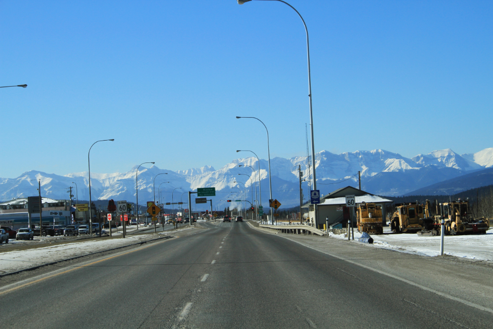
Despite the temperature, I decided just after noon to go to Jasper for a late lunch – how could I waste a day that looked like this? This is downtown Hinton – Jasper is only 77 km ahead.
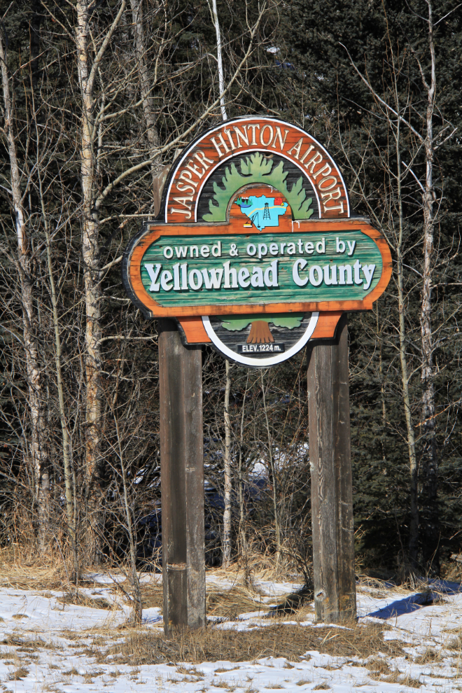
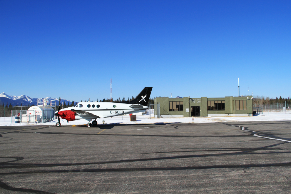
Airports almost always distract me, and the Jasper-Hinton was no exception – it’s only 5 km off the highway.
Excellent – a real old-time (pre 9/11) airport, with no security and a terminal that’s unmanned but always open. Most of the aircraft sign-ins for the last 3 months (the book that pilots sign is on a table in the middle of the terminal) were for this one aircraft, a 1980 Beech C90 King Air operated by a Hinton oilfield service company, Xtreme Hot Oil and Pressure Services. This photo was shot from the runway side of the terminal, the side that is seldom seen except by pilots and passengers now.
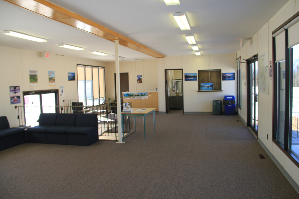
Back inside the very nice terminal.
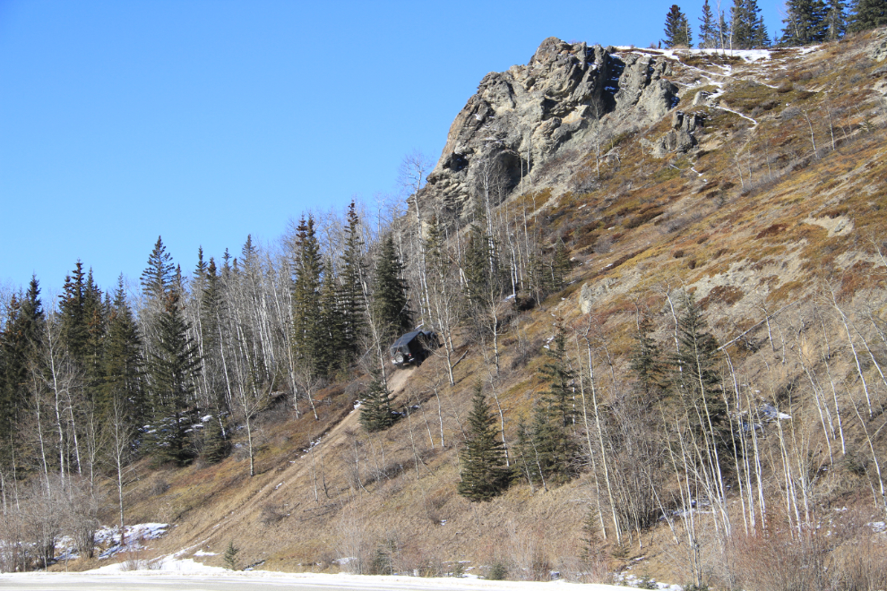
As I started up the airport road off the highway, a woman was walking down a very steep trail back to her Jeep. When I got back to that point, she was driving up that trail (you can see her halfway up). And another Jeep followed her, around and over the top of that rocky knoll. Cool trail!
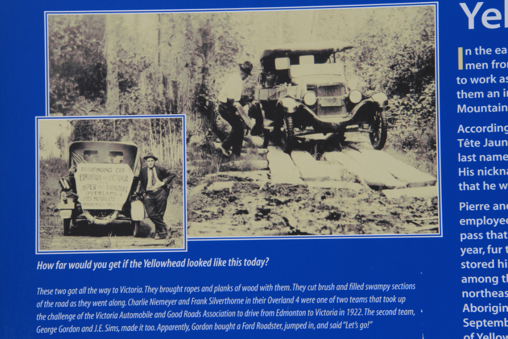
At a rest area on Highway 16, (this section is called the Yellowhead Corridor) this interpretive sign shows what it was like to drive through here in 1922, before the highway was built.
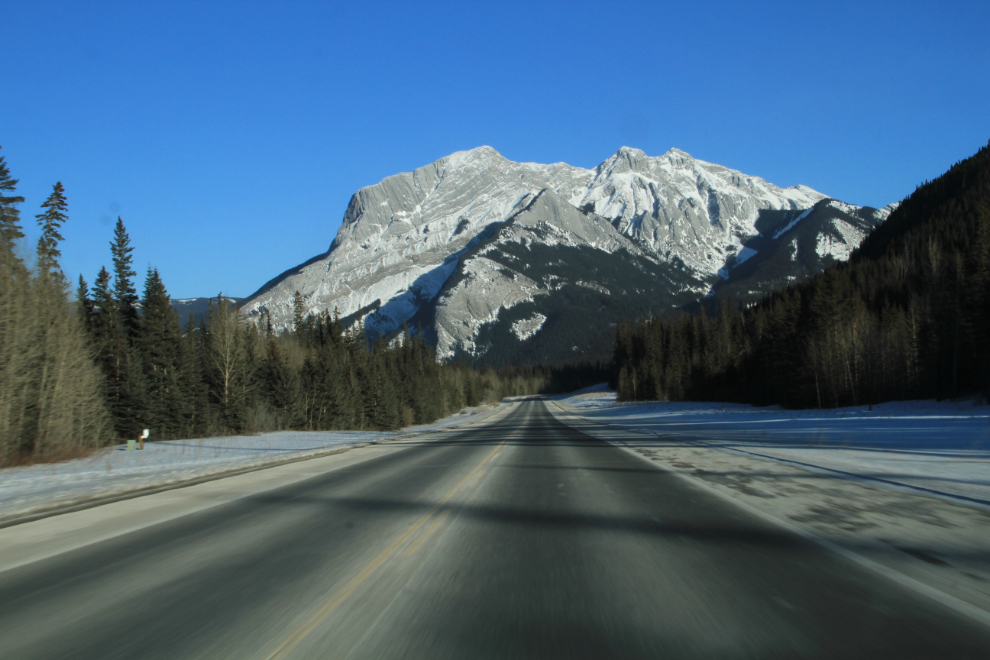
I’ve looked for a resource to find names for the mountains along my route, with no luck. Too bad – this is one of the peaks that I’d really like to have a name for. As you’ll see below, I found some, but not all.
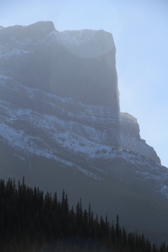
You enter Jasper National Park 36 miles from Hinton. Steve had bought me a park pass which got me waved past the gate without even stopping. Established in 1907, Jasper is the largest of the Rocky Mountain parks in Canada, at 20,878 square kilometers (4,200 square miles).
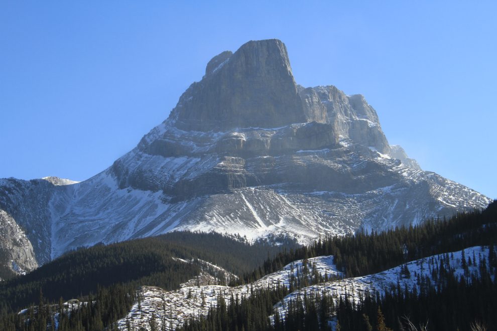
Just try to imagine the forces that created that. Amazing stuff… (this is Roche Miette)
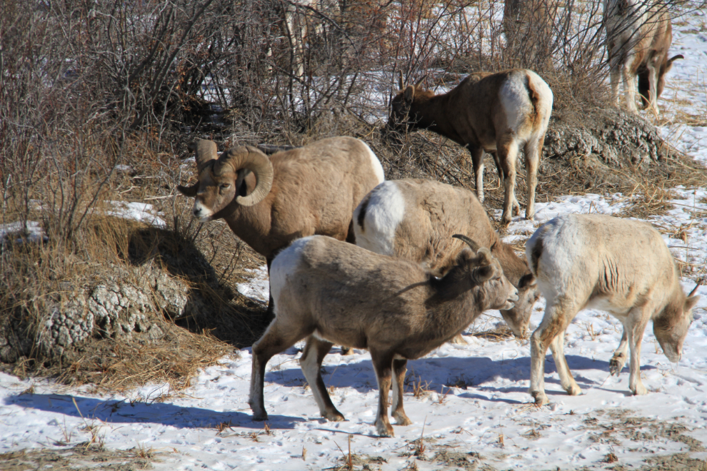
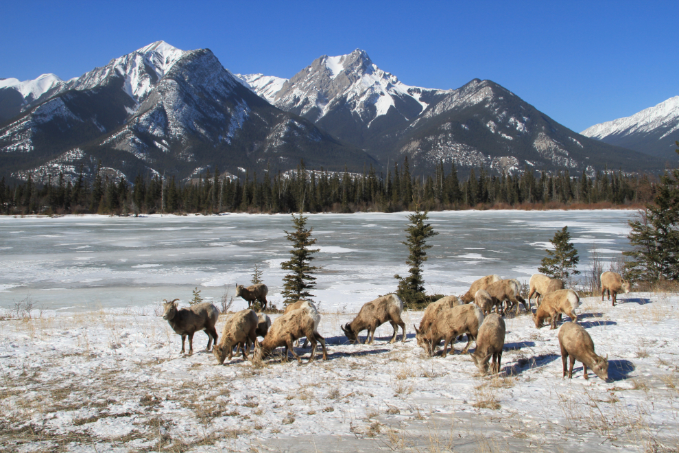
Pulling over into a large parking area, I discovered this band of bighorn sheep in a depression. Bighorn sheep are fairly common in Jasper park, and they’re often seen along the highway in this area along Jasper and Talbot Lakes; their population in the park hovers around 3000. You’ll only see mixed herds of rams and ewes like this in the winter – in the summer they separate.
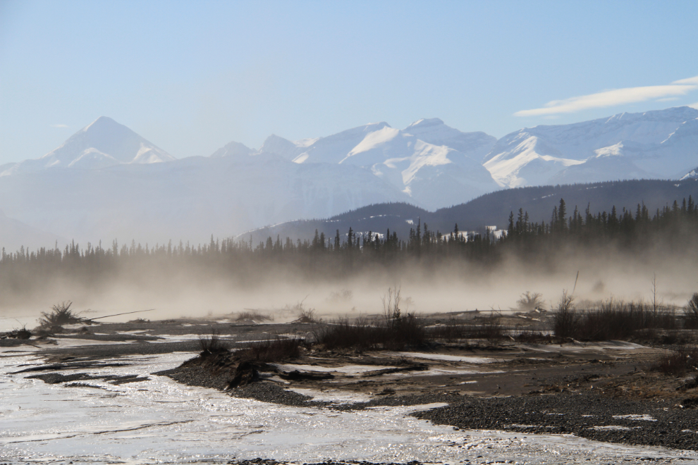
The screaming wind that was keeping wind chills in the -30s was also stirring up a lot of dust along the dry lakeshores and riverbeds.
More sheep, in a particularly scenic spot along the Athabasca River.
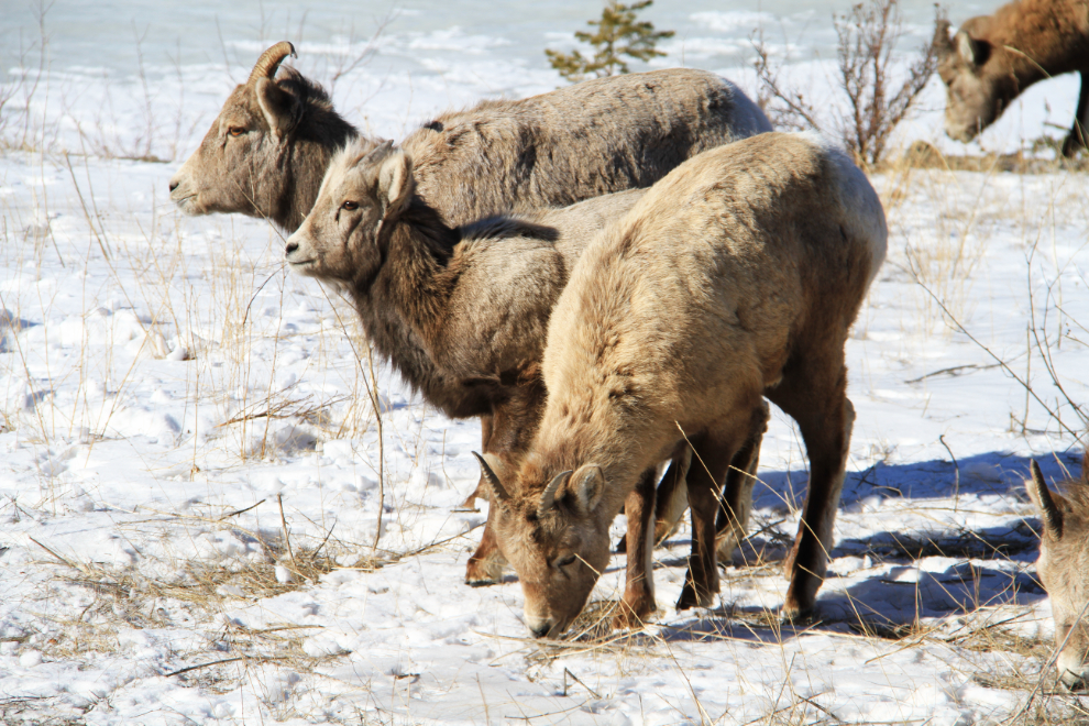
One of the two yearlings in this band is in the middle.
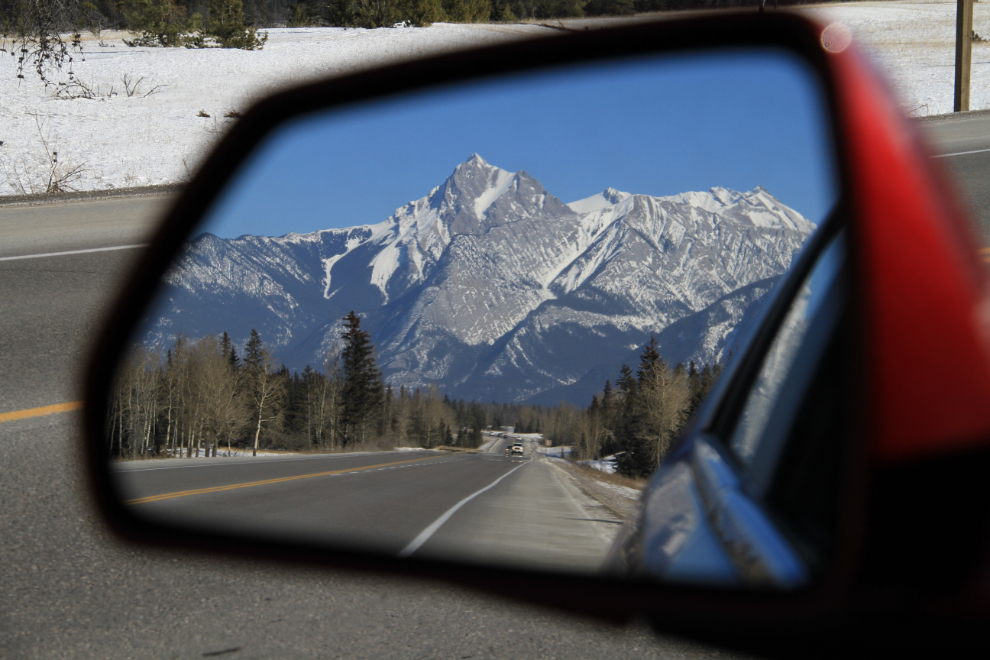
When the there’s a view like that in the rearview mirror, I was looking forward to going back, as well 🙂
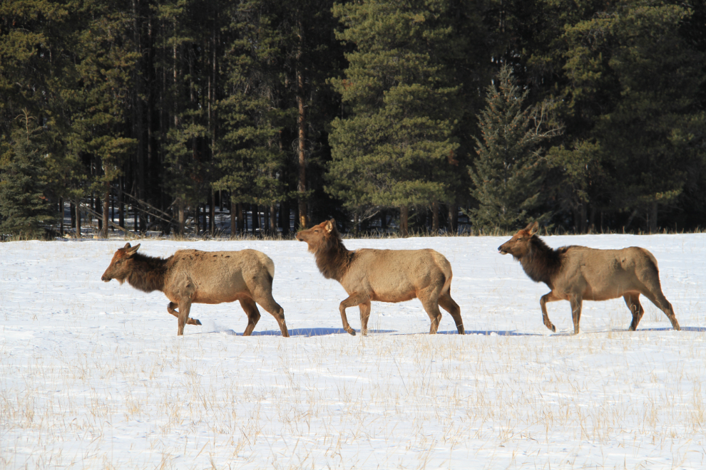
Taking the turn off to go into Jasper townsite, these 3 elk were slowing grazing their way along this meadow.
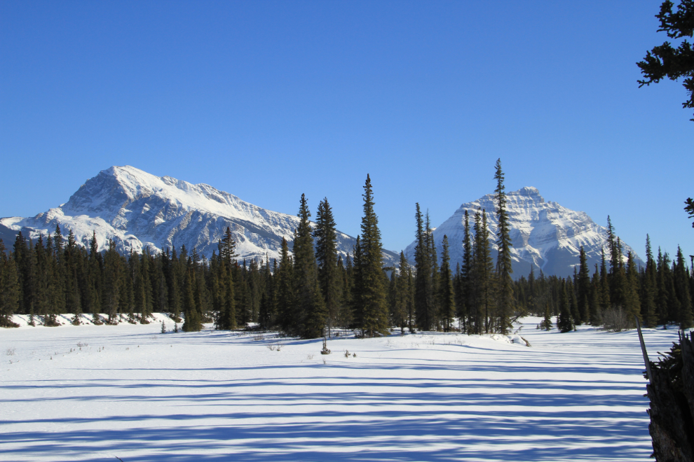
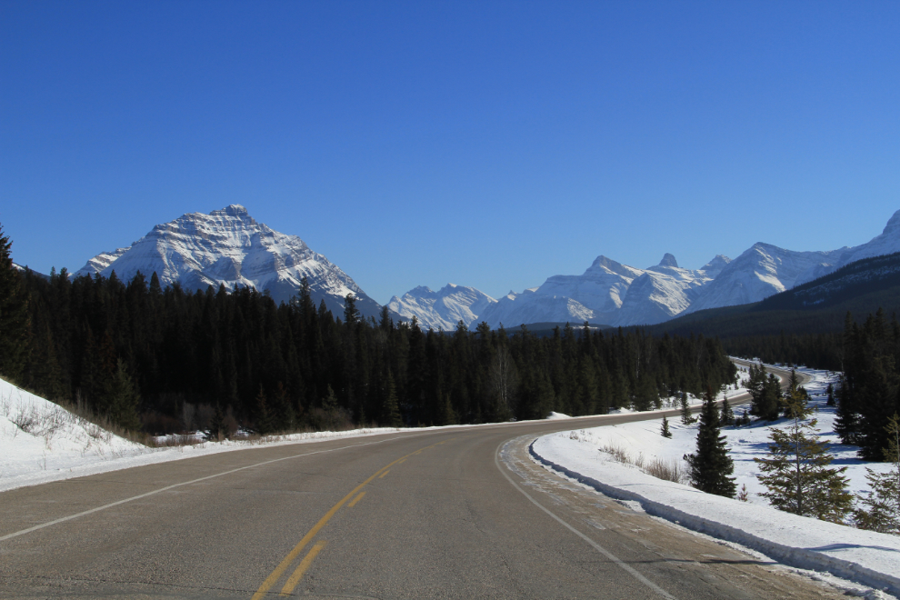
I gave up on lunch as I drove through the townsite – just couldn’t bring myself to go inside anywhere! So, I left and started down the Icefields Parkway (Hwy 93), but soon took the Hwy 93A turn, though I knew that it dead-ended in the winter. Among many others, it got me this view up the Athabasca River to Mount Hardisty on the left (2,700 meters or 8,859 feet high) and Mount Kerkeslin on the right (2,984 meters or 9,791 feet high.
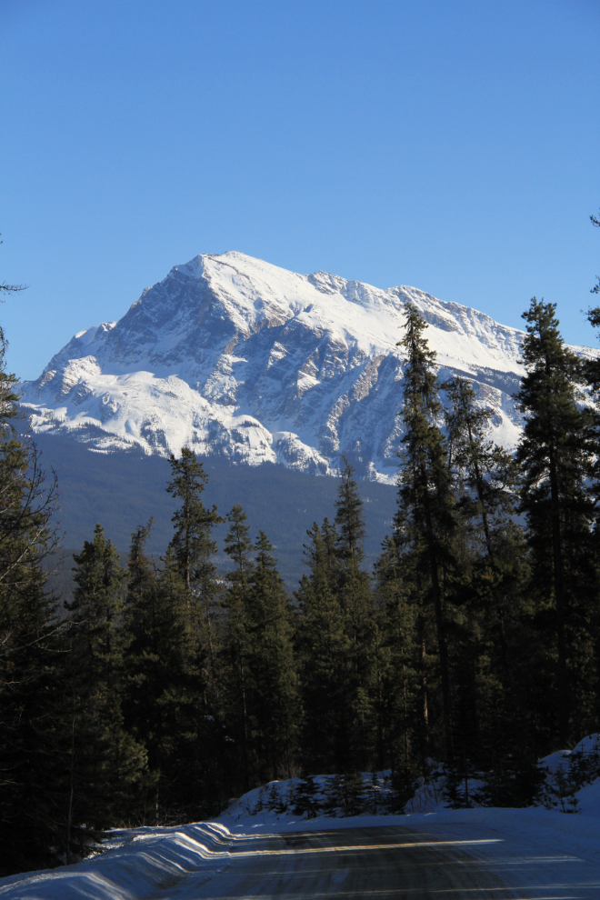
A closer look at Mount Hardisty from Hwy 93A.
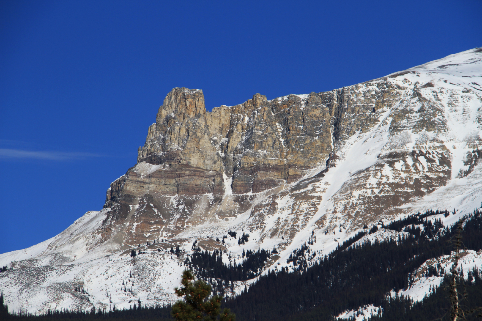
This is the northern tower of Mount Tekarra, whose rounded summit is 2,694 meters or 8,839 feet high.
Back on the Icefields Parkway, with Mount Hardisty dominating the view for many miles.
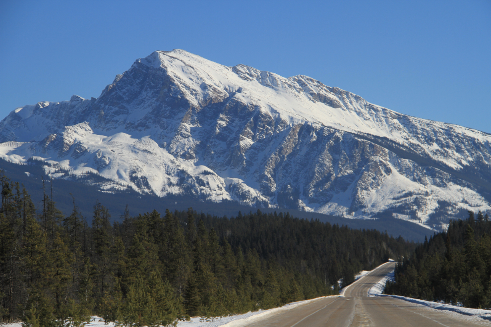
This spot always stops me for a photo or 3. That’s Mount Kerkeslin on the left.
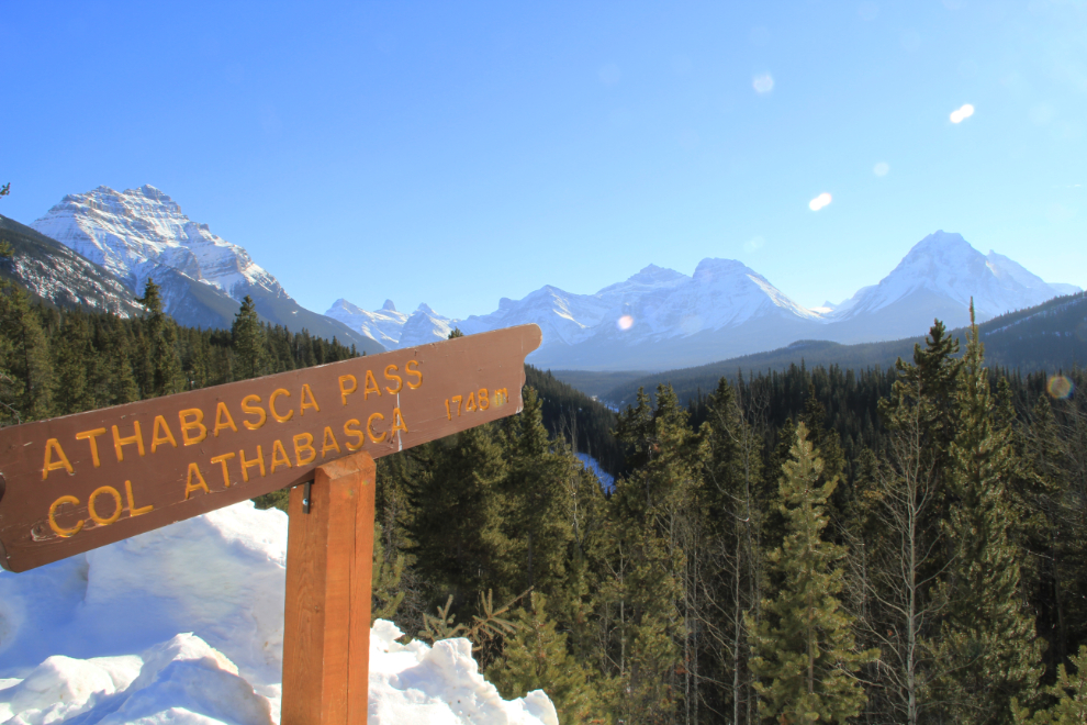
A large viewpoint on the Icefields Parkway 24 km south of the Highway 16 junction has signs pointing to several features. There are also several panels describing the impressive mapping explorations of David Thompson, who travelled some 90,000 km between 1792 and 1812, by canoe, dogsled, horse and snowshoe.
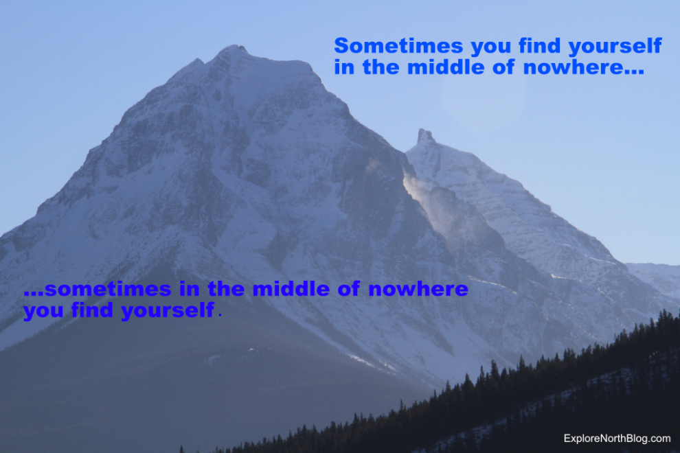
This was the comment-for-the-day that I posted on Facebook Saturday evening – “Sometimes you find yourself in the middle of nowhere, and sometimes in the middle of nowhere you find yourself”. One of the huge advantages to touring areas like this off-season is that you’re by yourself almost everywhere outside the communities – among the summer crowds, this definitely does not feel like the middle of nowhere.
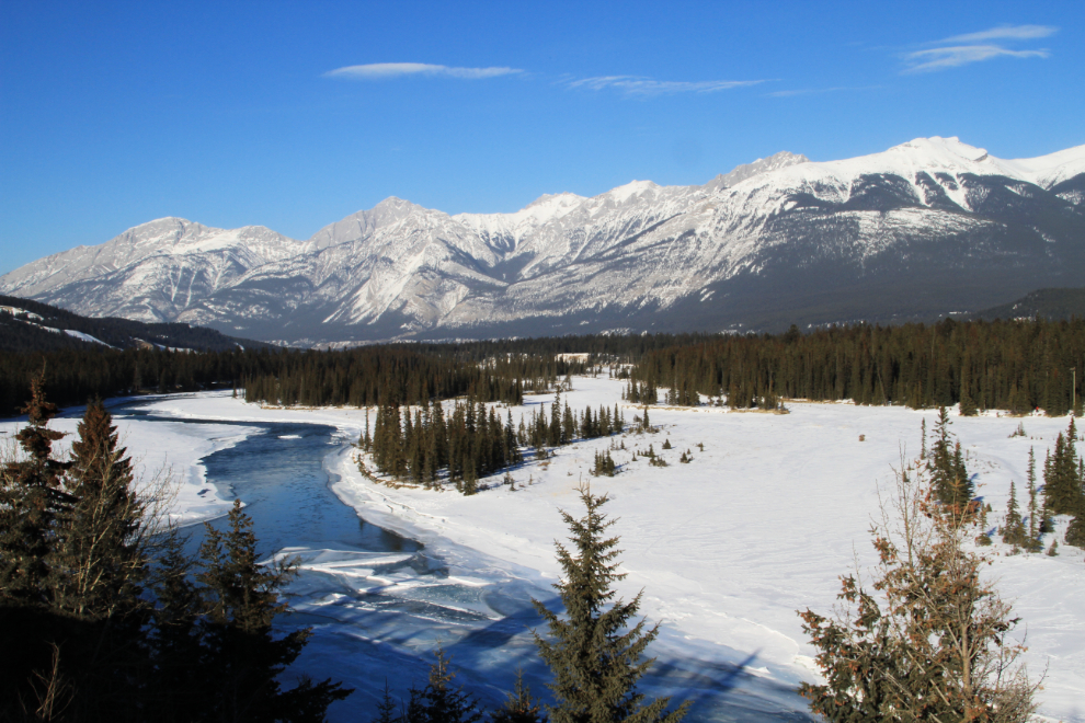
Heading home at 4:20 pm, this was the view to the north over “Henry House Flats”, site of a Hudson’s Bay Company fur trading post. Officially named Jasper House, the nickname honours trader Henry John Moberly, who in 1858 re-opened the post, which had operated sporadically prior to his arrival.
Almost back home to Hinton.
I really did have plans to stay home on Sunday, but… 🙂