Exploring the Aishihik Road and Otter Falls, Yukon
The gravel/dirt Aishihik Road runs north from Historic Mile 995 on the Alaska Highway. It takes adventurers to Otter Falls, most famous for being featured on the 1954 series of Canada’s $5 banknote, on to Aishihik Lake and ends after about 120 km at Aishihik village, a seasonal Native fishing and hunting camp. Few people venture very far up this road, but on Saturday my niece and I decided to do some exploring – I hadn’t been up in many years.
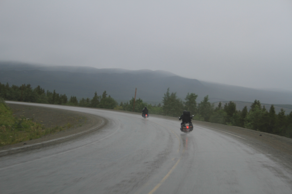
The weather was awful – both very cold and very wet – as these Alaska-bound motorcycle riders will attest, and the forecast didn’t call for any improvement during the day. For a change, we got off to a fairly early start. This photo was shot on the Alaska highway some 30 km west of Whitehorse at 08:40.
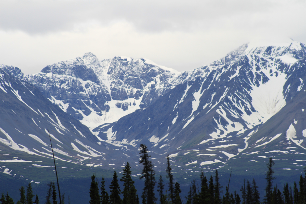
Bobbie hadn’t seen Haines Junction yet so we made that detour (and picked up some bread at The Bakery while we were there). This view of the Kluane Range looks more like September than July. There was fresh snow on many peaks down to about 4,000 feet elevation even at Whitehorse this morning.
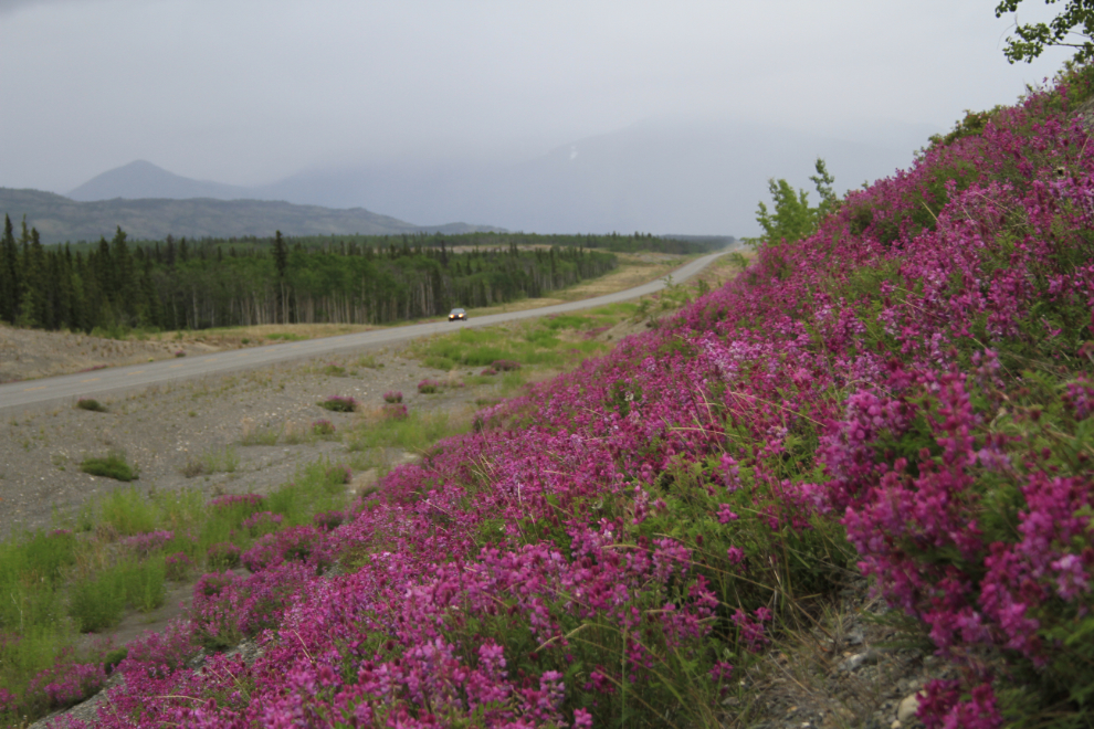
Flowers are very happy about the wet weather we’re having this year. This was shot as we headed back to the Aishihik Road turn-off.
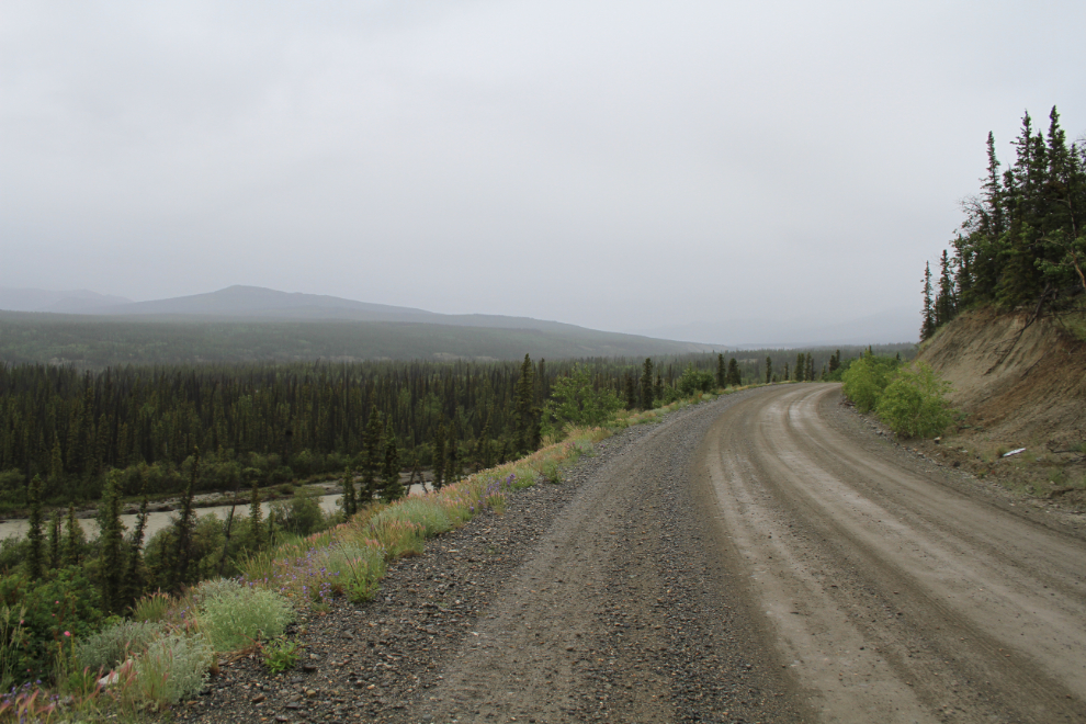
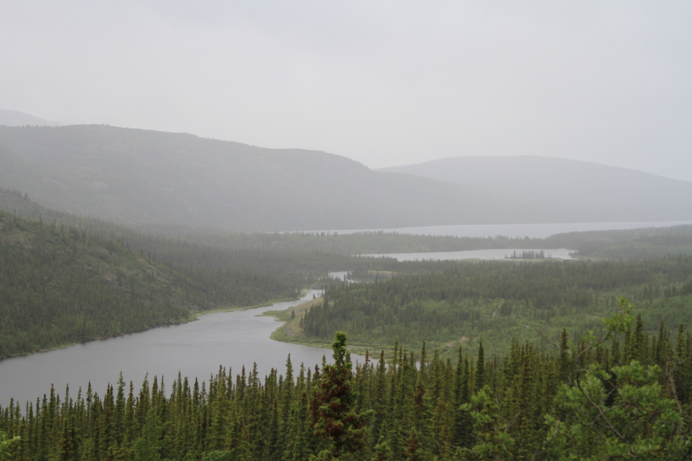
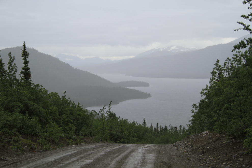
This was shot about 10 km up the Aishihik Road at 10:55.
We found ourselves stopping often for photos – this is very pretty country. This was shot 5 minutes north of the photo above.
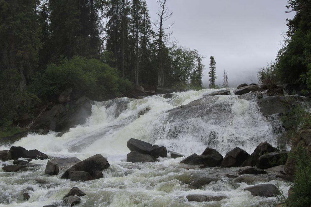
We reached Otter Falls at 11:15, and I was extremely pleased to see that the falls were at full flow as I had expected, or at least hoped. I hadn’t gotten a photo of the water like this since July 1992 – for most of the summer, most of the water goes through a diversion channel to power turbines that were installed in 1975.
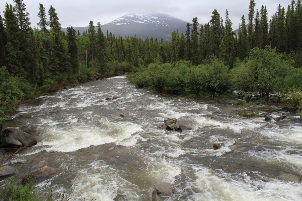
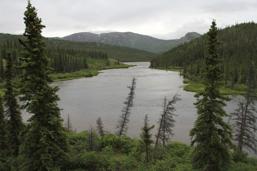
Looking down the Aishihik River from the foot of the falls.
I shot a short video of Otter Falls as well as the stills.
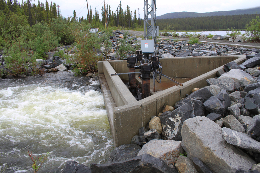
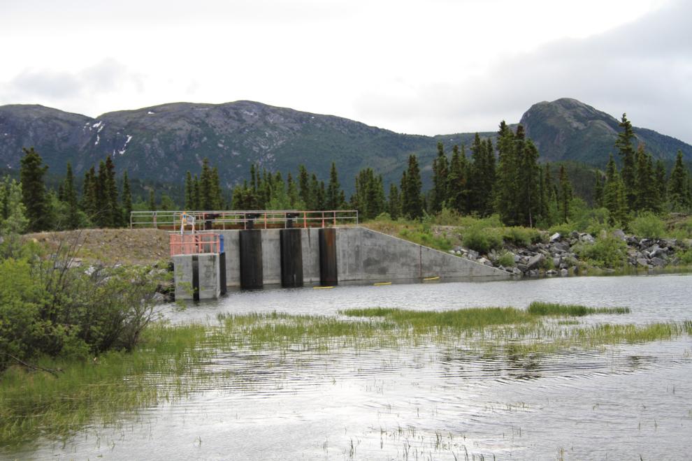
This is the control structure at the outlet of Otter Lake – the two valves were wide open to “fuel” Otter Falls.
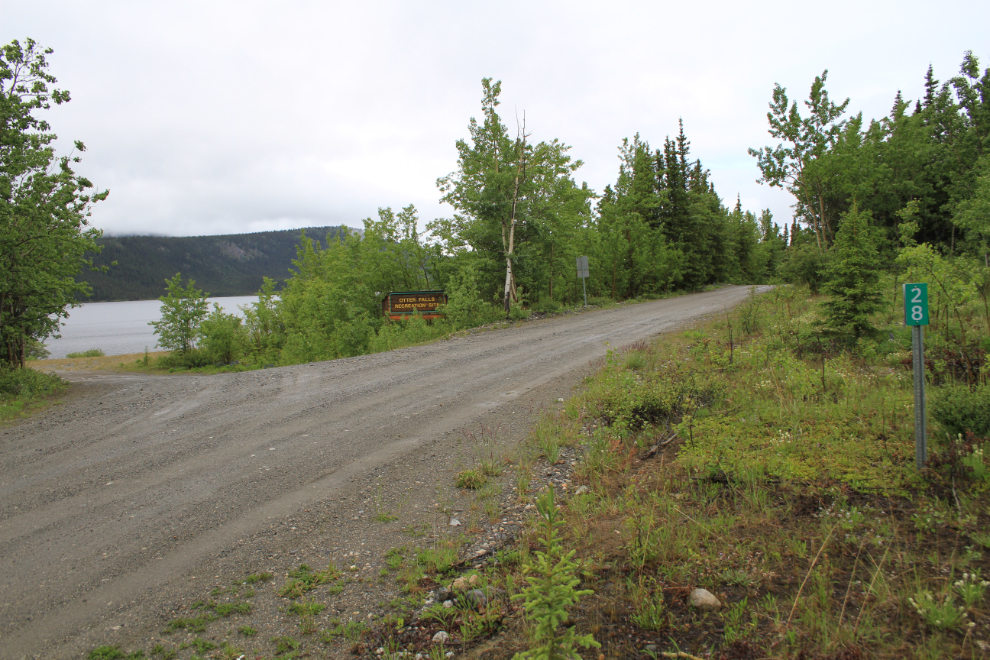
A few hundred yards north of the waterfall pull-off is Km 28 of the Aishihik Road, and the entrance to a day-use area on the lakeshore.
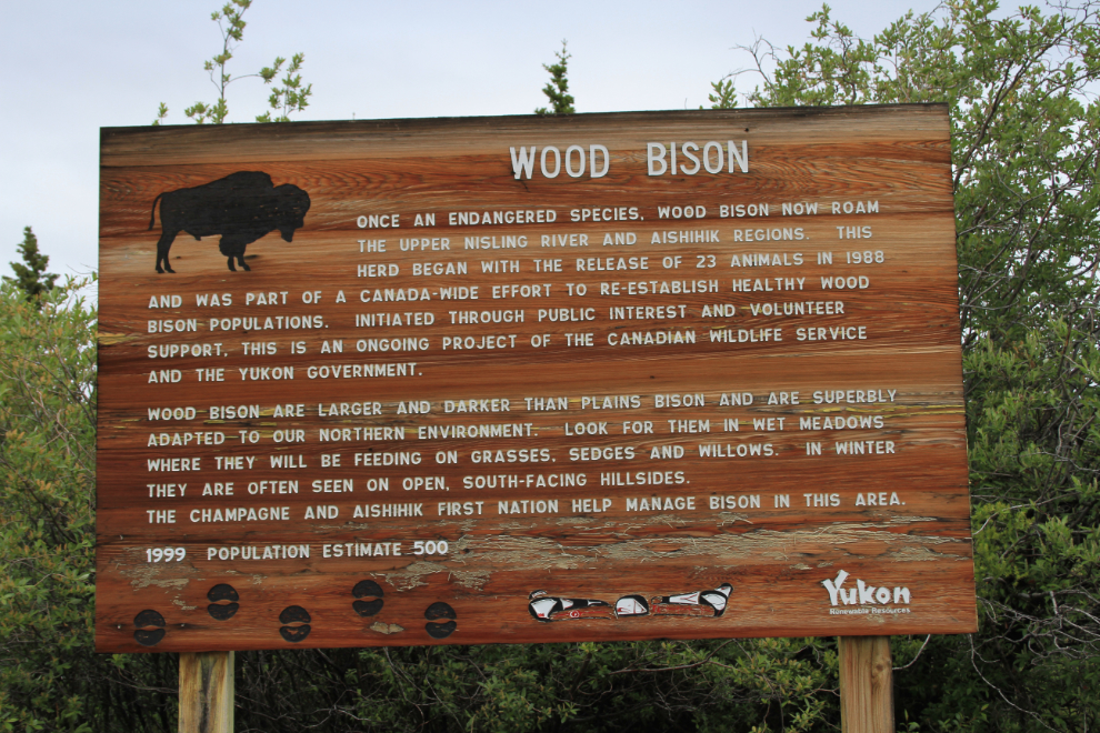
Continuing on, we reached the Aishihik Lake Campground at 12:15. This sign about Wood Bison is along the road into the camground. It’s far out of date, as the population is now near 1,300 rather than the 500 that lived here in 1999. While bison sightings used to be common in this area and even along the Alaska Highway, though, they can now be hunted and are seldom seen.
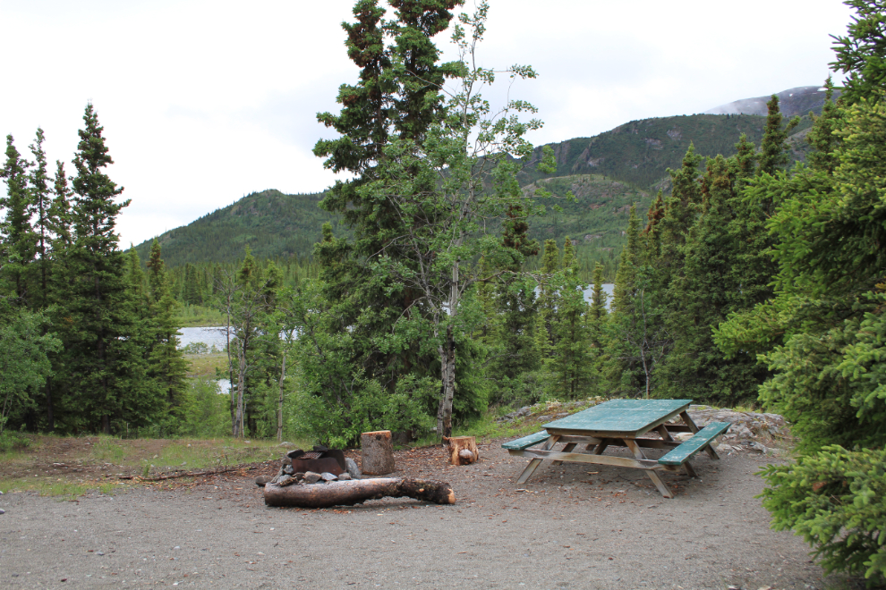
The campground has some very nice sites, but was almost empty even on this long holiday weekend, I assume because of the weather. The temperaure was dropping as we climbed, and was 5°C at this point (41°F).
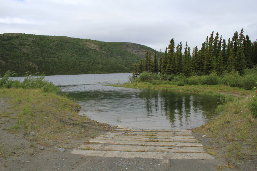
The boat launch was rebuilt by Yukon Energy a couple of months ago. The sheltered channel was dredged out and a concrete ramp laid – very nice.
This is the dam at the foot of Aishihik Lake, near the boat launch.
Signs warn that the road is not maintained beyond the campground, which is at Km 43. It is actually maintained but at a lower level.
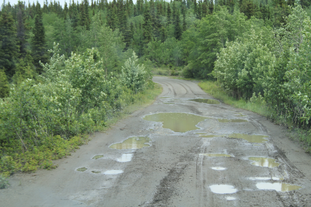
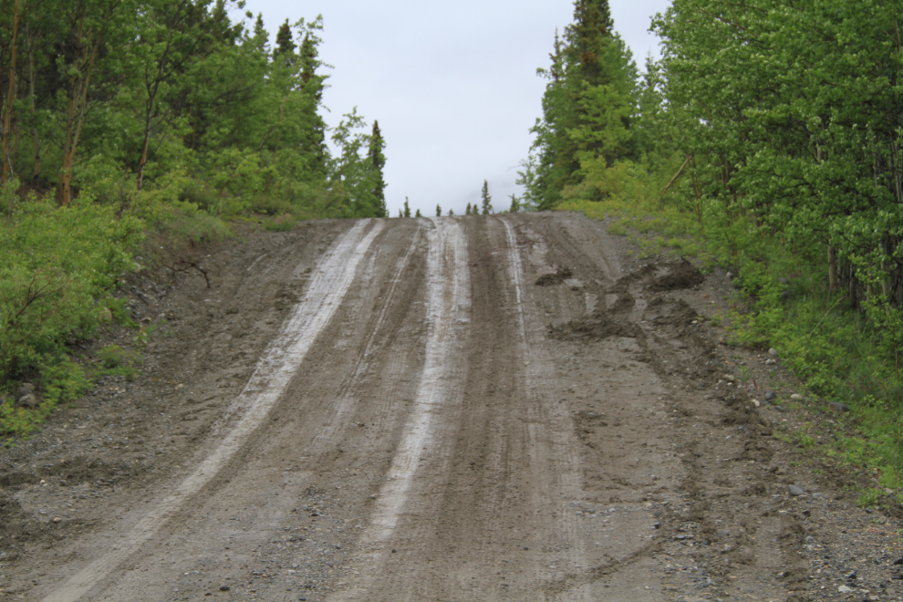
Mudholes are common, some surprisingly deep, and the road surface is mostly a clay-dirt that’s very slippery when it’s wet.
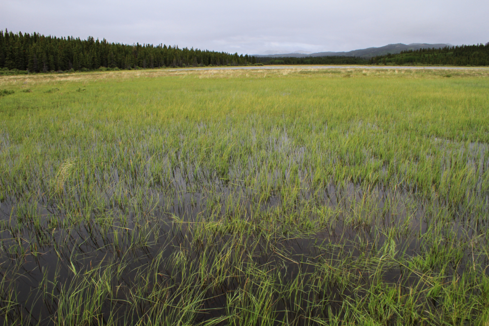
This lovely marsh was cause for a stop. When it had rained it had mostly been light and the mosquitoes not bad at all, so the day was much better than I had expected.
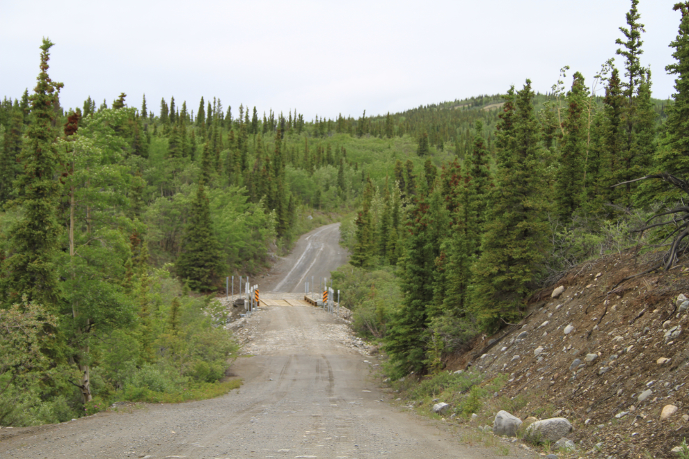
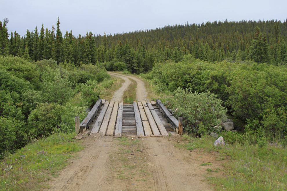
There are quite a few bridges, and several of them have had major rebuilds done recently, apparently because of flood damage (not this one, though).
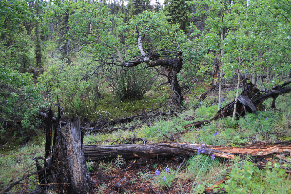
A pleasant forest along the road.
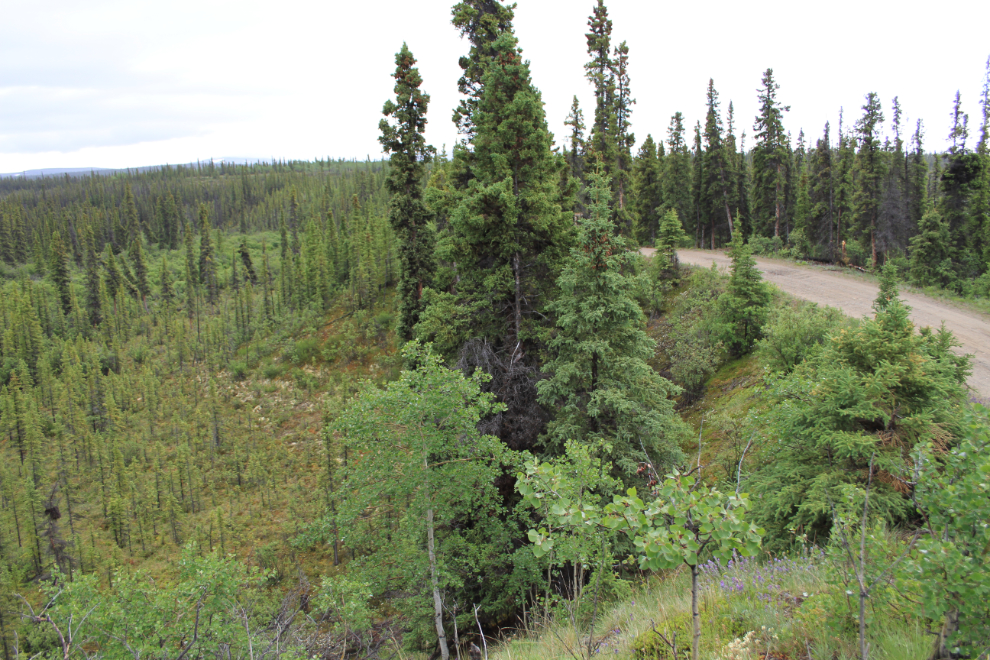
For a few miles the road is elevated on a high gravel esker that snakes through a marshy area – a road-builder’s dream! An esker is the gravel left from a river that flowed beneath the glacier that used to fill this valley.
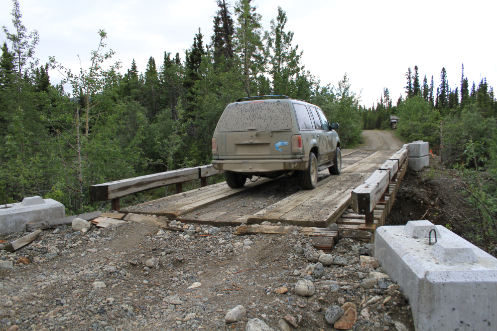
We turned around at about 1:30 due to an approaching storm that threatened to make the road very bad even with four-wheel-drive. This is one of the recently-rebuilt bridges. If I had brought my Outback, I might have had to shovel some gravel to reduce that climb.
The storm hit us about half an hour after we headed south. It was heavy, and icy cold!
Rain or not, it is beautful!
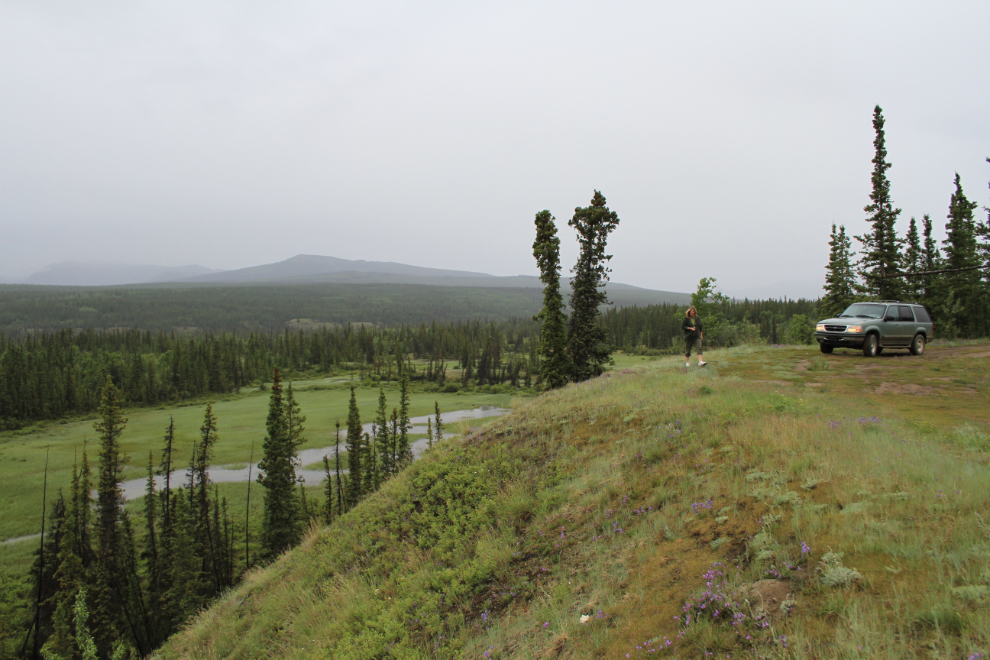
Neither of us could resist making another detour, on a rough road that headed down towards the Aishihik River. It took us to this lovely spot, a flower-carpeted meadow which is used for camping.
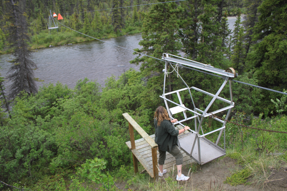
At the far end of the meadow was a water recording station with this tramway crossing the river. While we were there the rain got much heavier, and we congratulated ourselves for turning back when we did.
A final shot of the road, looking back at a hill that a couple of vehicles had been unable to climb because of the mud. Our truck had slipped when we climbed it a couple of hours before, but it was clearly worse now.
We got back to my home at 5:00. Despite the weather, it had been an excellent day of exploring an area that few people will ever see. There’s lots more to see up the Aishihik Road for another weekend, though 🙂