Hiking Mount White, Yukon
When I spent a day on Little Atlin Lake on July 10th, we were at the foot of White Mountain, and it occurred to me that for some reason I had never hiked the trail that climbs it. On Tuesday, August 6th, I rectified that – well, mostly. When I’m in better shape I’ll get right to the summit.
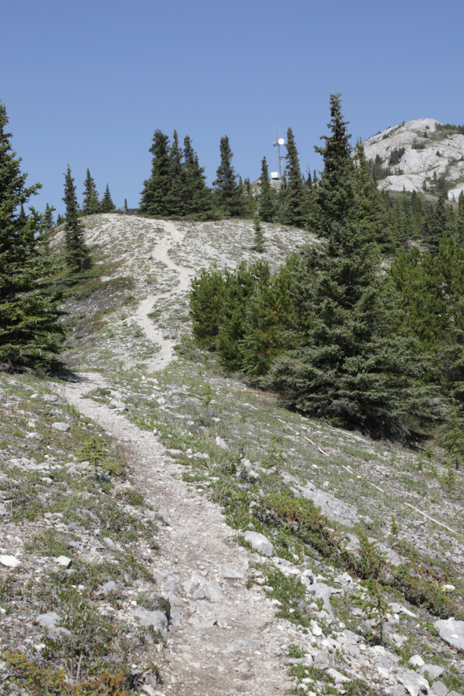
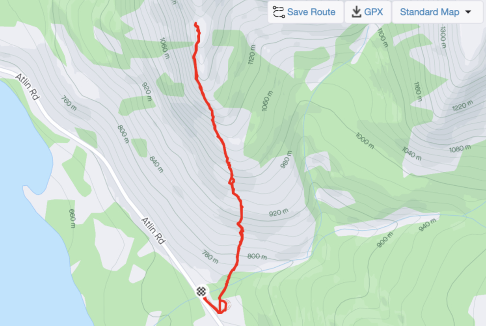
I used YukonHiking.ca for the basic access and route information: Total Distance: 6 km; Return Time: 3.5 hours; Elevation Gain: 700 m; Difficulty: Moderate. Also: “Look for the large orange cable that leads into the trees (you’ll be following this cable most of the way up). … After 2 km of hiking, you will reach a Northwestel radar tower. It is another 1 km from here to the top. The summit is a plateau spotted with white limestone rocks. There is ample opportunity for exploring the range at the top. Add more time if you venture further along the ridge.” Sounded good.
Although the mountain is often called White Mountain, the Gazetteer of Yukon lists Mount White as its official name. The mountain that is officially White Mountain is right on the Yukon-BC border east of Windy Arm of Tagish Lake. Mount White was named by surveyor William Ogilvie in 1887 to honour Thomas White, Minister of the Interior at the time – Ogilvie had already named the White Pass after him.
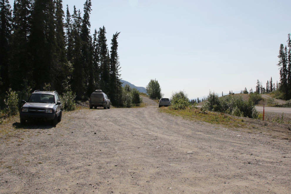
Right at noon, I took the first photo at the entrance road to a gravel pit 5.6 km down the Atlin Road, and started up.
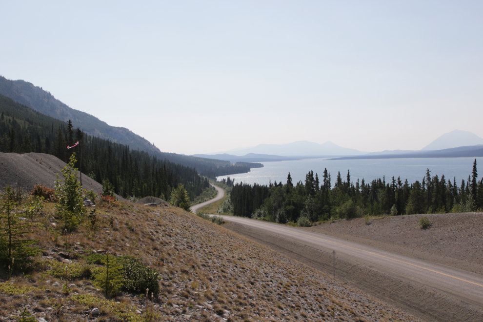
The view south down the Atlin Road and across Little Atlin Lake from the edge of the gravel pit.
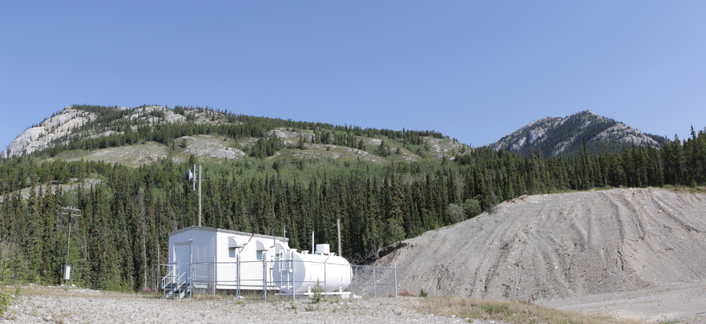
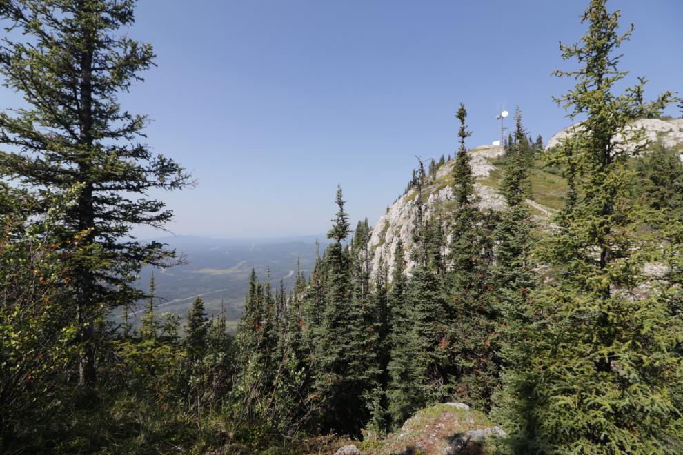
The trail begins behind and to the left of this generating station which powers a NorthwesTel communication tower on a shoulder of the mountain.
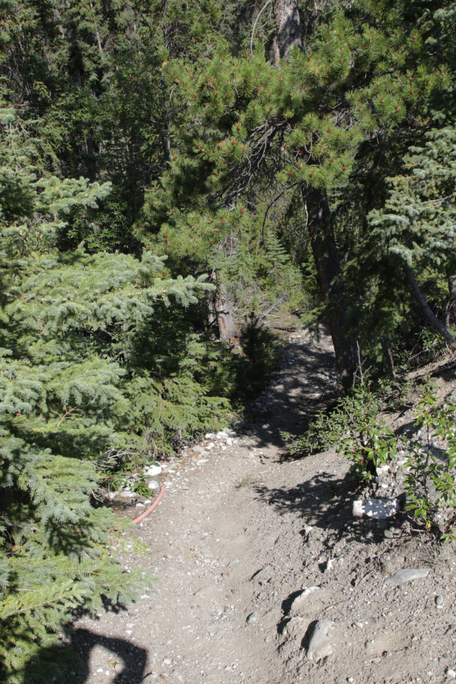
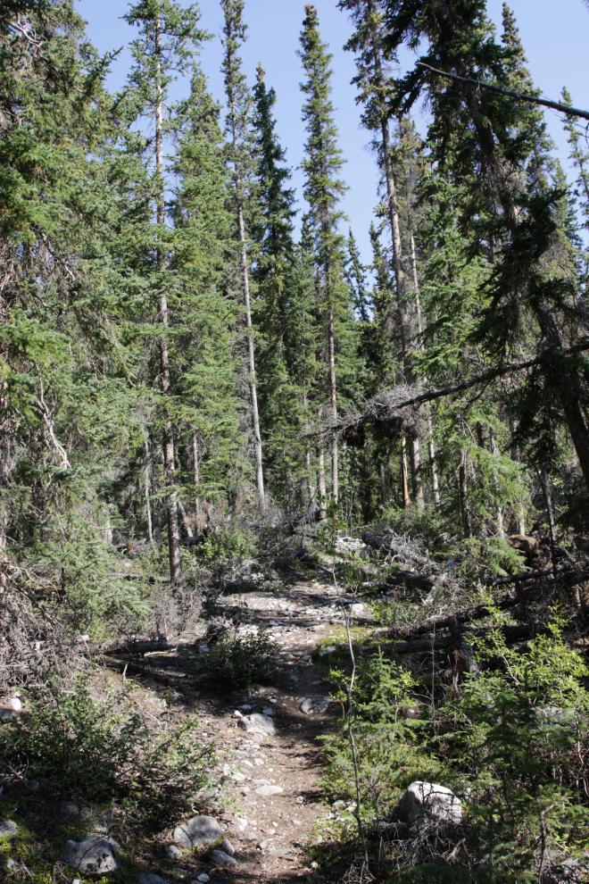
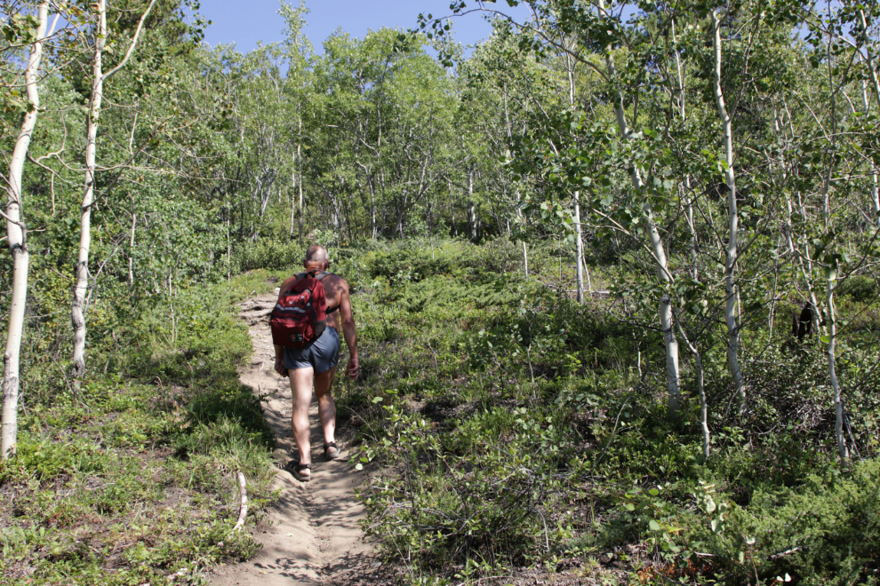
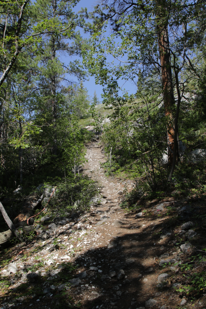
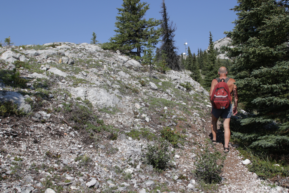
The start of the trail as it heads into the forest. This and the next two photos were all shot within a few seconds at 12:12.
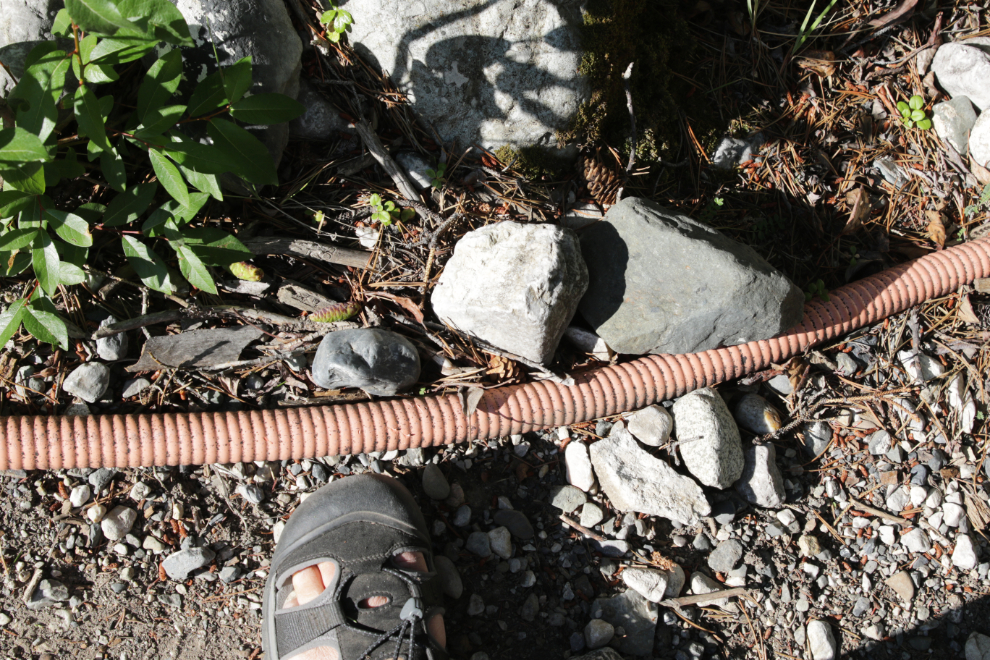
The next photo shows the large orange cable that the trail follows all the way to the tower. This photo also shows my default footwear for the past few years, a pair of Keen sport sandals – for comfort, durability, and traction, I’ve not found anything better.
Starting to climb.
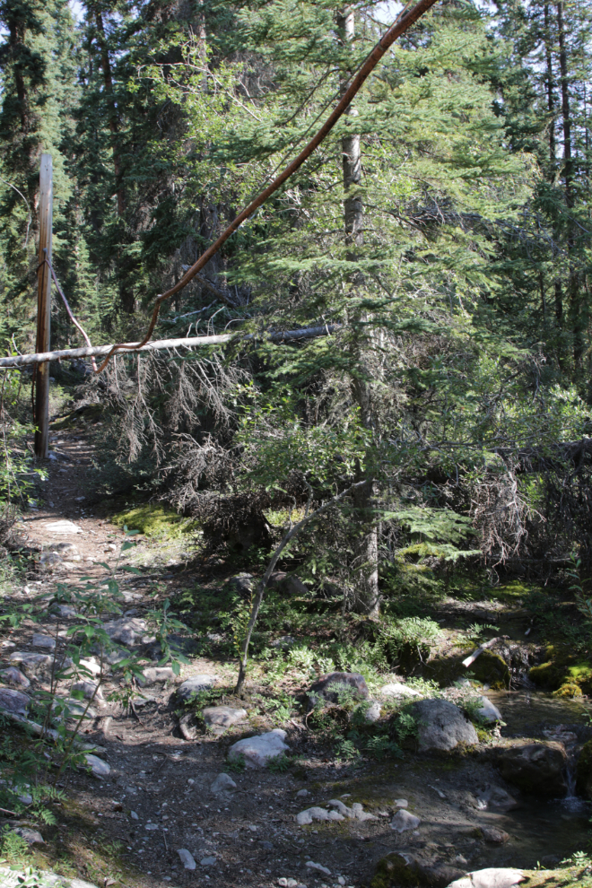
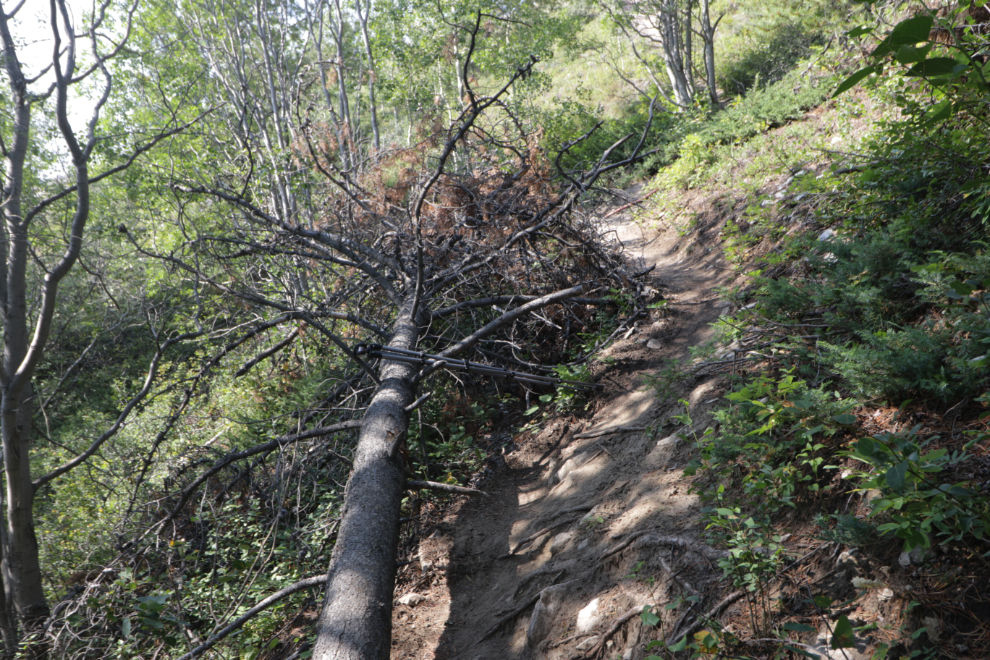
A minute later the trail crosses a creek. The power cable is suspended above it, and a small tree has fallen across it. The power cable is protected by a steel cable above it, which so far is holding the tree.
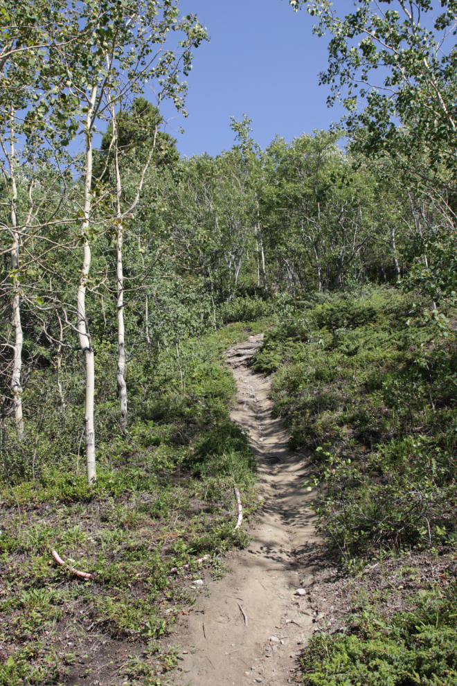
The next two photos were shot at the same spot, at 12:26 and 12:28 – I think this was the start of the steep climb. The vertical photo perhaps shows the grade better.
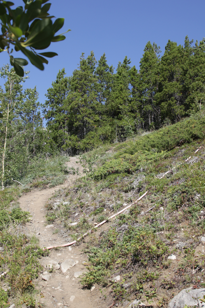
The trail crosses over the power cable at 12:34. Although there are some loose areas on the steepest sections, the trail is overall in very good condition.
The view back over Little Atlin Lake at 12:36. I shot several photos from my Relive app to keep track of elevations I was shooting at, but none of them attached as they should.
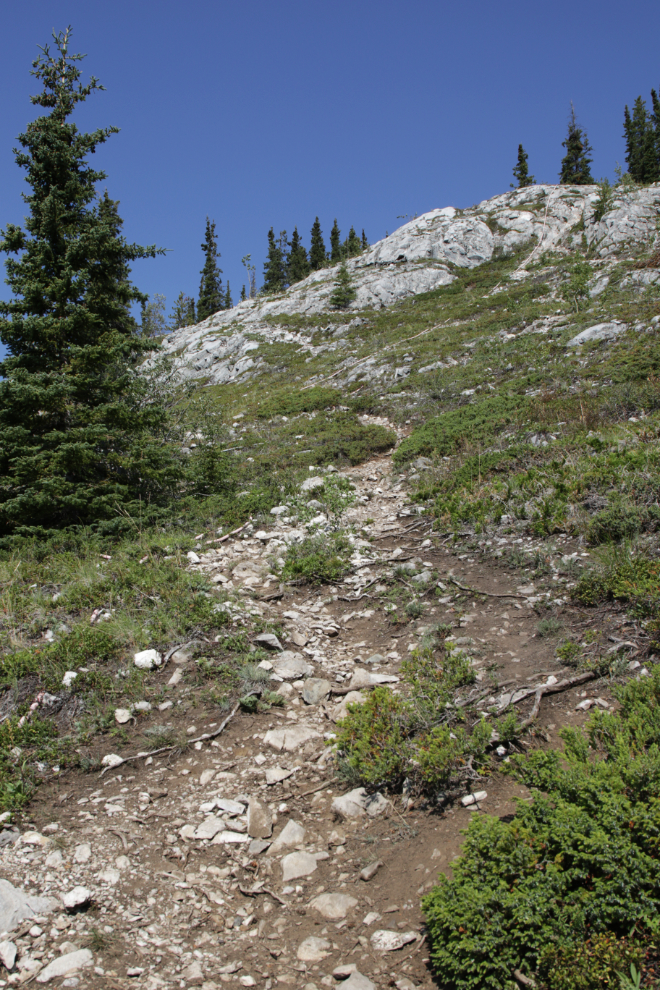
By 12:40 I understood why YukonHiking comments “The elevation gain is relentless with some switchbacks along the way.”
It was very warm (about 24°C / 75°F) and small forested sections like this one at 12:57 were welcomed. Once I got higher, there was a cool breeze and it was lovely, though.
Right at 1:00, just below where I shot the next photo, I met a woman and her two very tired-looking dogs coming down – they were running! Wow…
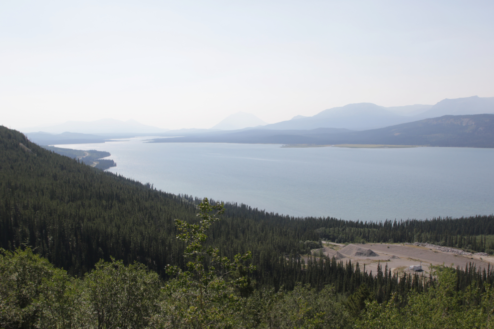
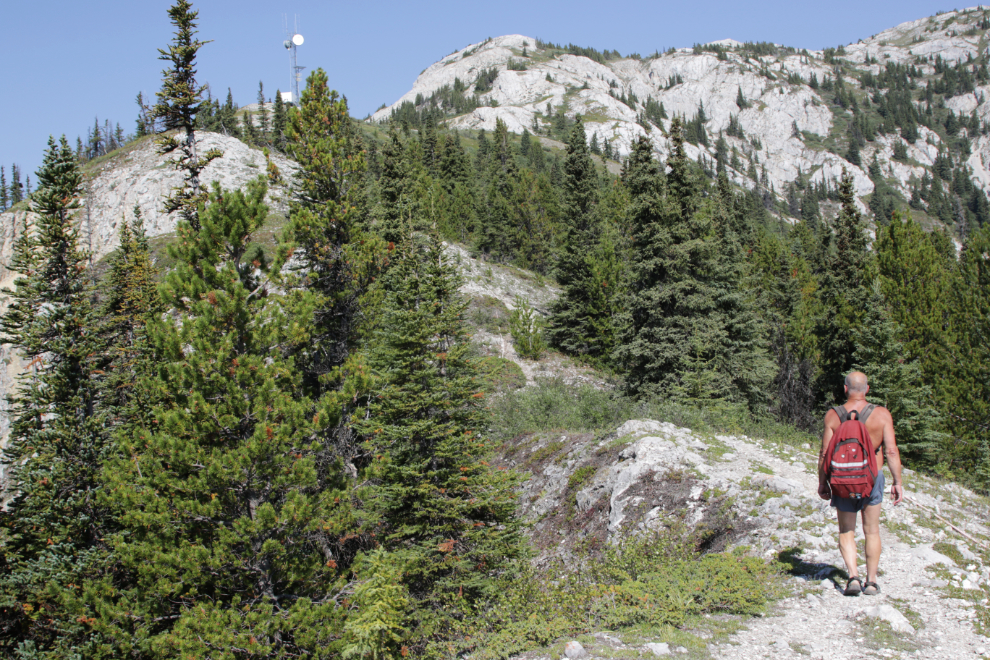
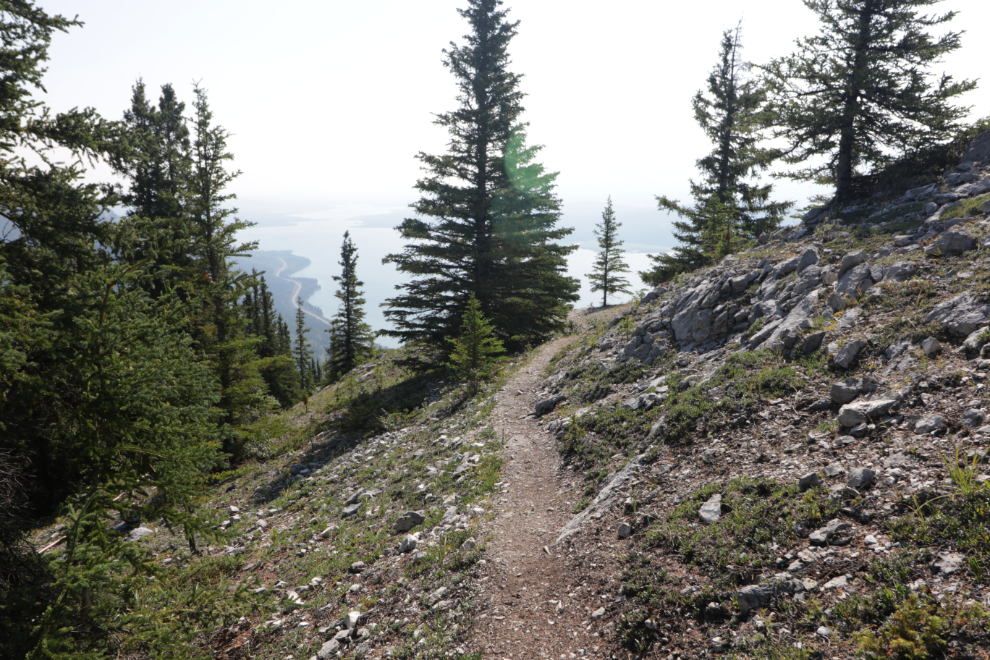
Even with what I expect is smoke from very distant wildfires, the views are stunning. The next photo was shot at 1:07.
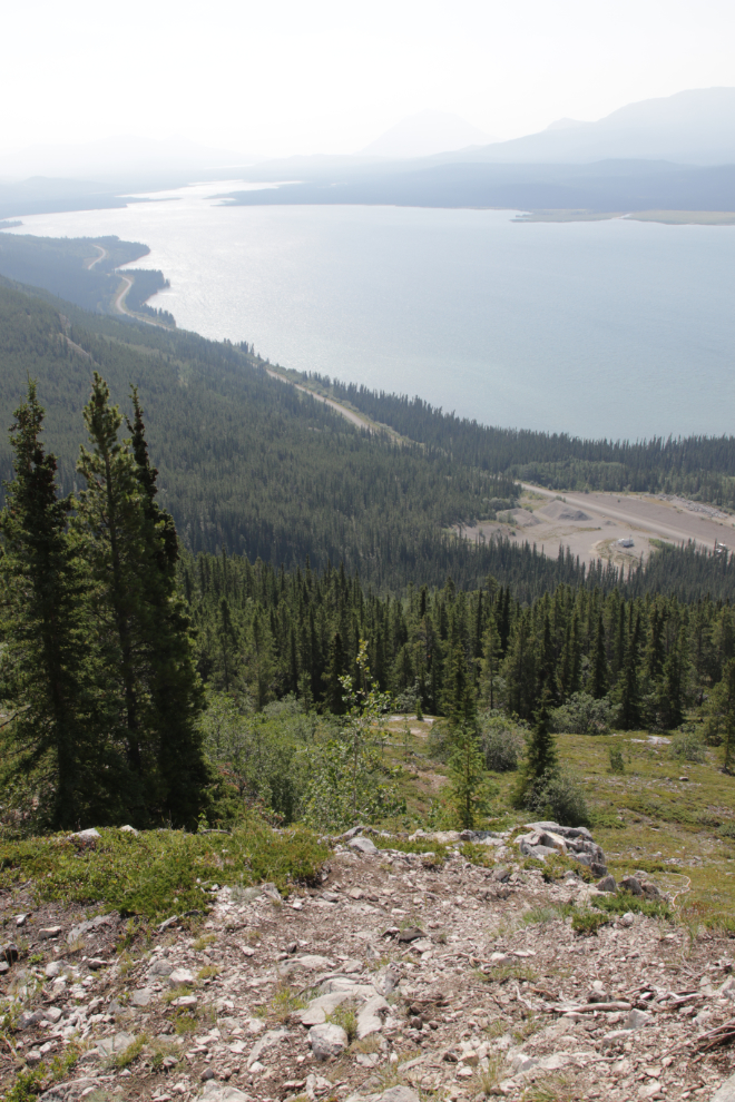
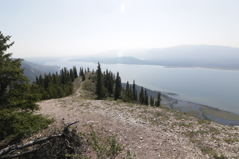
I took a couple of long breaks to rest and savour my surroundings – the next photo showing a view to the north was shot at 1:53. I was now past the 2 km mark where the communications tower was supposed to be.
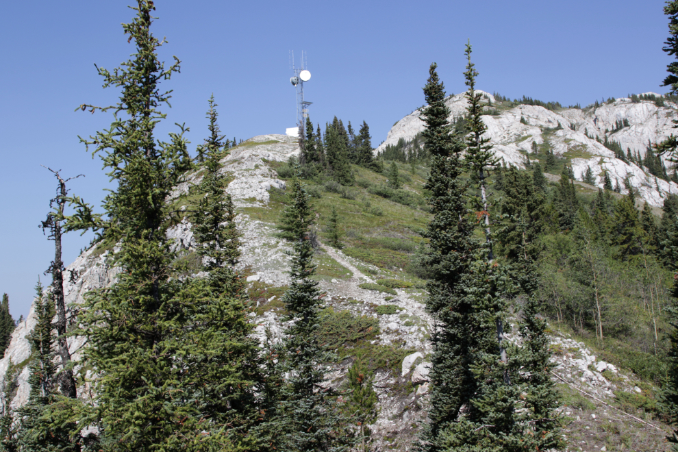
Just a minute later, the communications tower came into sight and I felt much better 🙂
At 2:00 I reached a level spot with some trees for shade, and the final climb to the tower was ahead. I rested, started towards that climb… and quit. Cathy warned me to not overdo it, and I was at my limit. I had expected to reach the summit but was okay with getting my 73-year-old body this far.
I stayed there for quite a while, and probably had a nap…
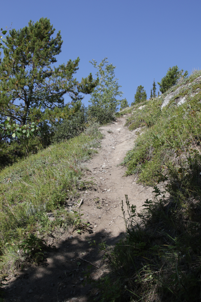
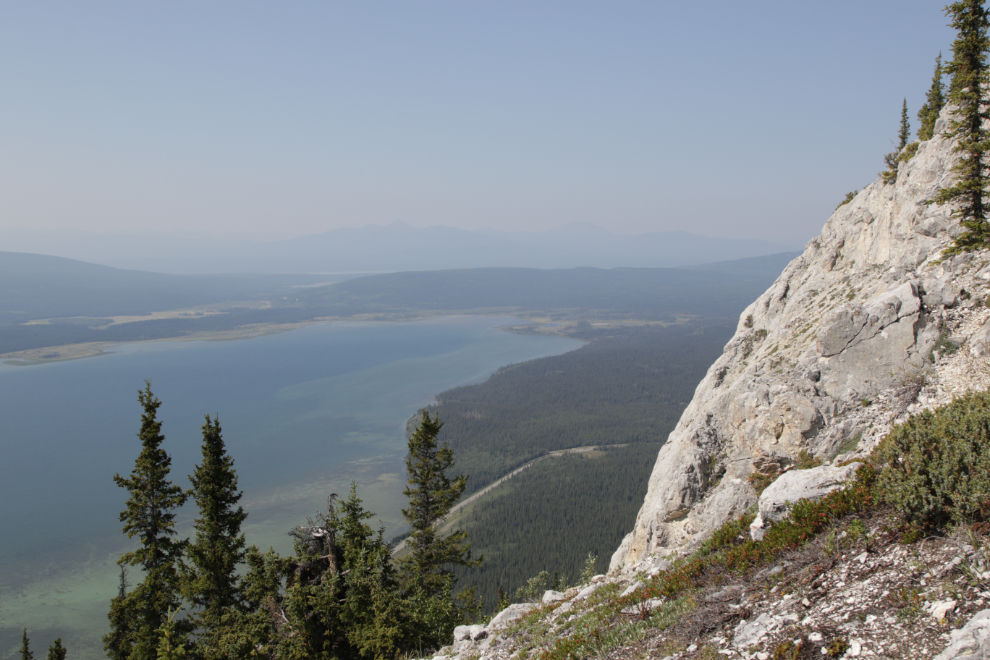
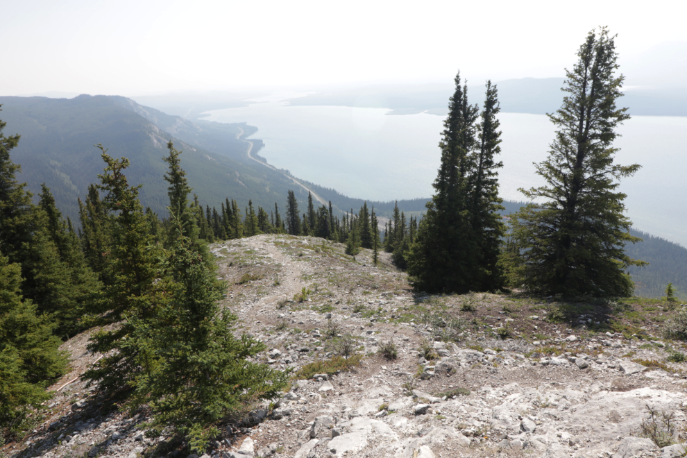
…then at 2:40 started down. Having views like this constantly was, of course, wonderful.
I shot the next photo at 2:45…
…another at 2:47, and then quit shooting. That’s how tired I was.
I don’t remember anything about the hike down except that there were some pretty dicey sections traction-wise. I was using my tripod as a walking stick at times, and at one point I went to use it and it wasn’t there. OMG, I had left it propped up against a log at my last rest stop!
I had two choices – should I go back? I was fairly sure that it was within ten minutes back up the trail. But could I go back or should I just post a reward for the person who finds it? No, it’s too expensive – I had to go back. At 3:46, there it was…
Anyway, I made it down and home obviously. And I remembered to save the hike on my Strava app, so you can see it here.
I posted a couple of comments on Facebook that evening: “Mount White is a hike for people in very good condition. Like I was on this day 5 years ago, not like today. The basic elevation gain to the point seen in the photo was 528 meters in 2.3 km (1,732 feet in 1.4 miles). YukonHiking calls it “Moderate” – I strongly disagree. They also say “The elevation gain is relentless” – which it is. They call Summit Creek Moderate as well – I agree with that one.”
…and “I just realized, by checking the blog, that it was on this day 5 years ago I was injured at Summit Creek in the White Pass. I’m extremely grateful that I was able to do this hike on this day. And perhaps was guided to do this hike on this day.”
Will I do the Mount White hike again? Yes, I really want to see the summit now. But I have to get back into shape! 🙂
Very enjoyable.