Touring Alaska – Tok to Valdez
Yesterday our route took us on a route that is “off the beaten track,” from Tok to Valdez. In the early and mid 1990s I used to take tours to Valdez regularly, but haven’t been there in years, and I see few itineraries that include it.
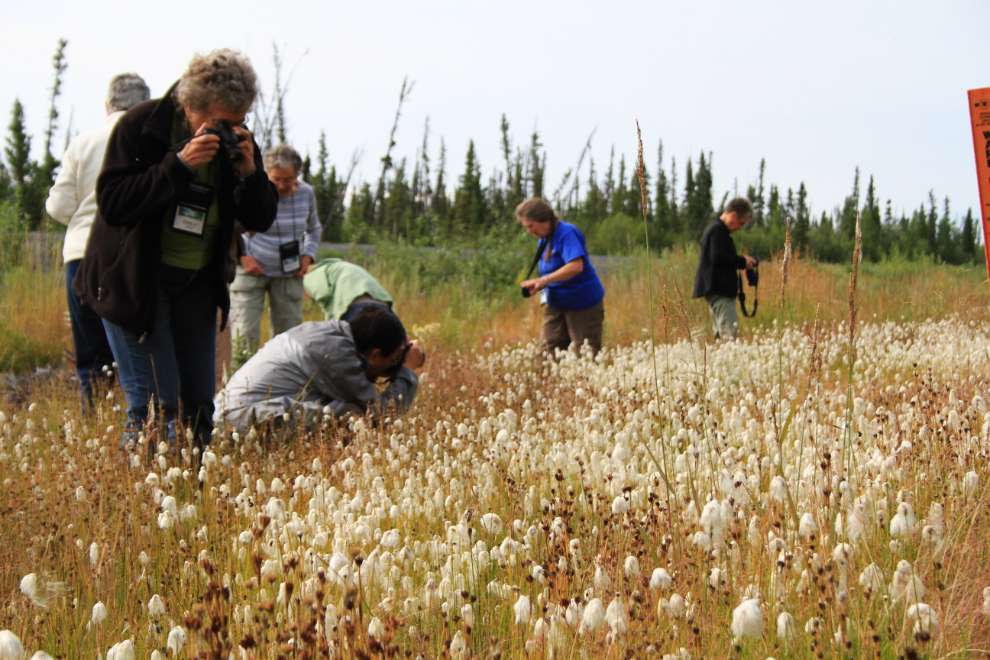
Most people like to get a closeup look at Arctic cotton grass, and my current guests were no exception when I found a good patch.
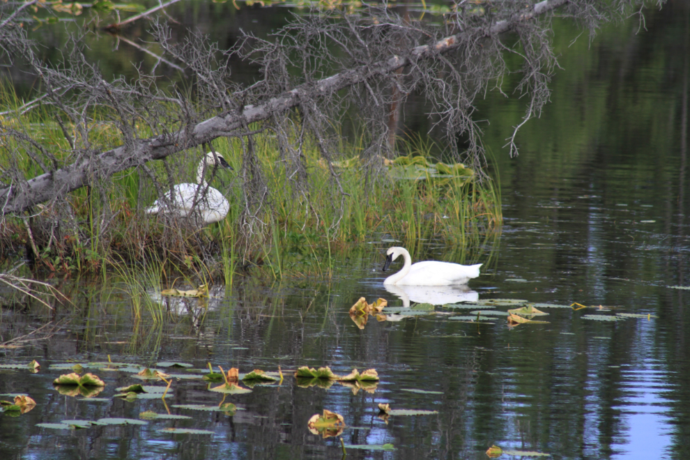
These Trumpeter swans were close to the road and traffic was very light, so this photo op was an easy choice.
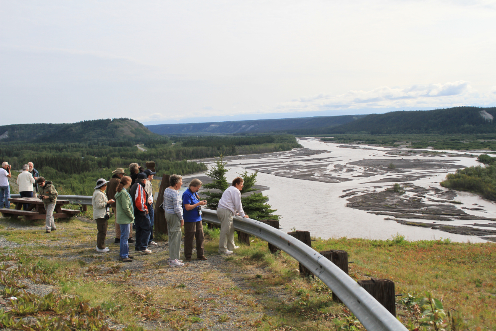
Overlooking the Gakona and Copper Rivers just north of Glennallen, where we had lunch. My lunch reservation got rather weird, as the woman I talked to on the phone thought it was a friend of hers playing a trick so didn’t take my call seriously. She quickly adapted when we arrived, though, and we had an excellent meal as always at the Caribou.
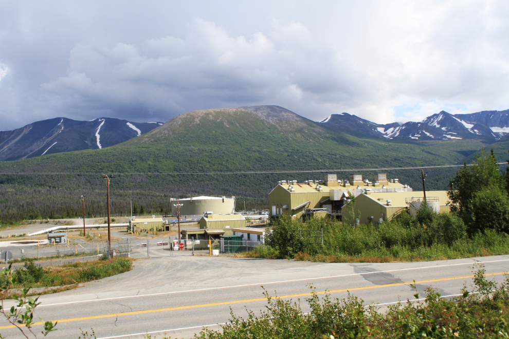
We had a close look at the Trans Alaska Pipeline at Mile 88 on the Ricahrdson Highway, then I thought we were going to stop at a large interpretive area overlooking Pump Station 12 at Mile 34, but the walkways and platforms are gone and the station is quiet – I don’t know quite what to make of that.
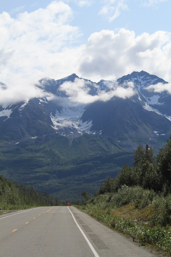
Mount Billy Mitchell, a wonderful hint of what’s ahead.
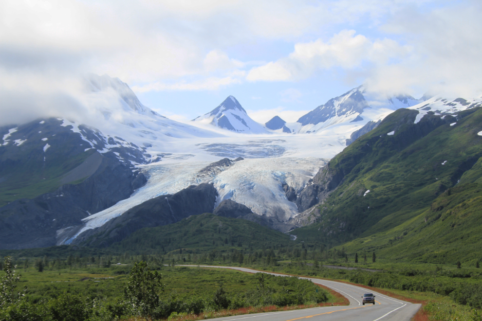
The Worthington Glacier, one of the classic Alaska travel photo ops.
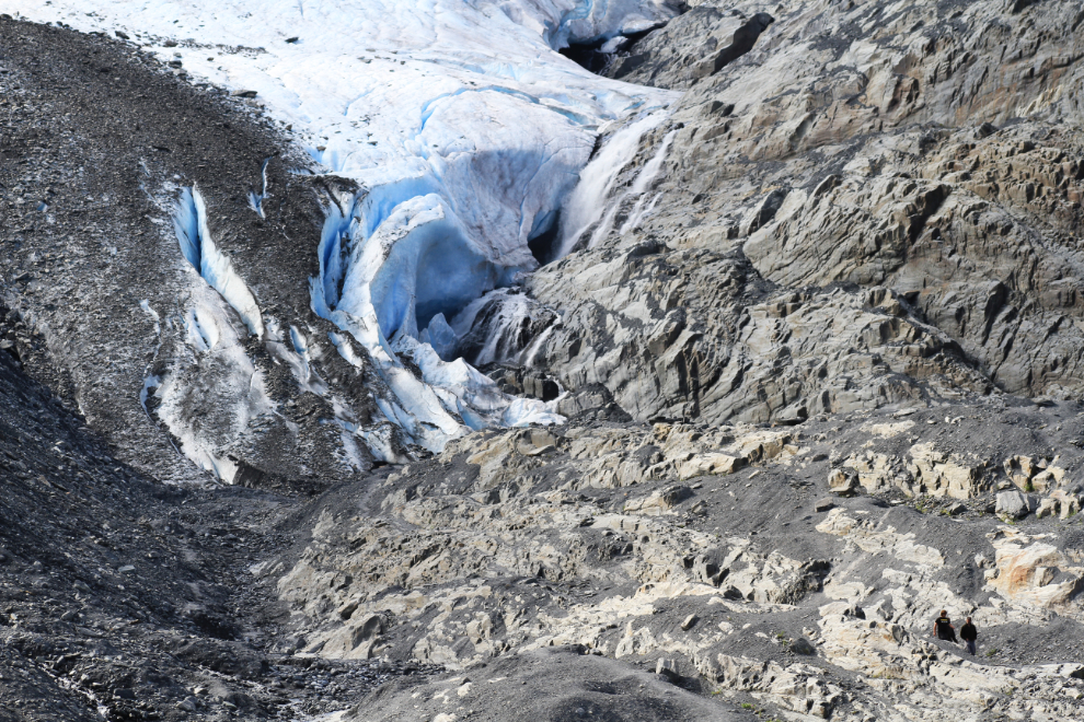
A close look at the Worthington Glacier – see the hikers at lower right for scale. I have to check my older photos when I get home – the retreat of this glacier seems to be dramatic.
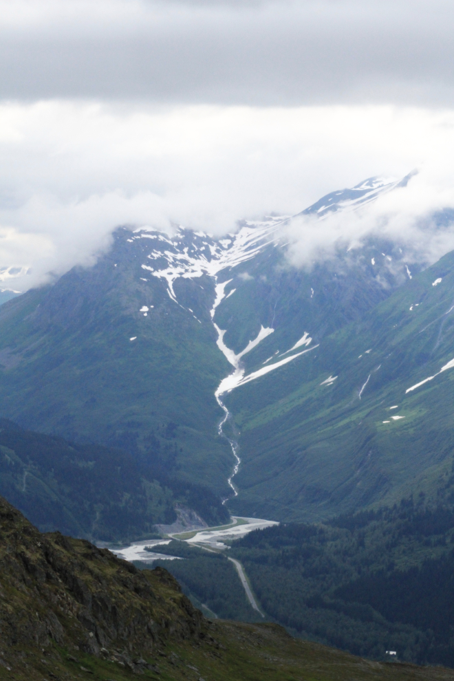
Looking towards Valdez from Thompson Pass at 2,678 feet.
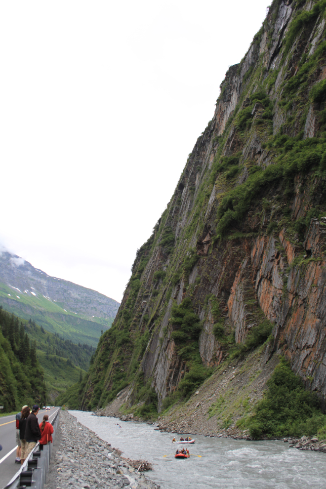
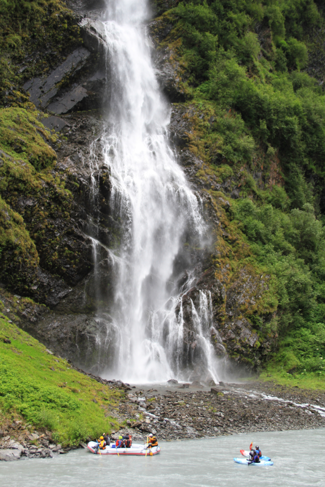
We stopped a couple of times to watch these rafters come though Keystone Canyon.
We had an excellent dinner, then a short look around Valdez.
It’s now almost 05:00 – time to load the bus, have a quick breakfast and get over to the ferry terminal (about 6 blocks away).