Tour from Reykjavik, Iceland: the volcanic Reykjanes Peninsula
This is blog post #25 from our tour of northern Europe. On Monday, July 21st, after spending the night docked at Reyjavik on our ship, we took an 8-hour bus tour of the Reykjanes Peninsula, always a great area to tour for volcanic features, but with an eruption currently happening, off the charts so.
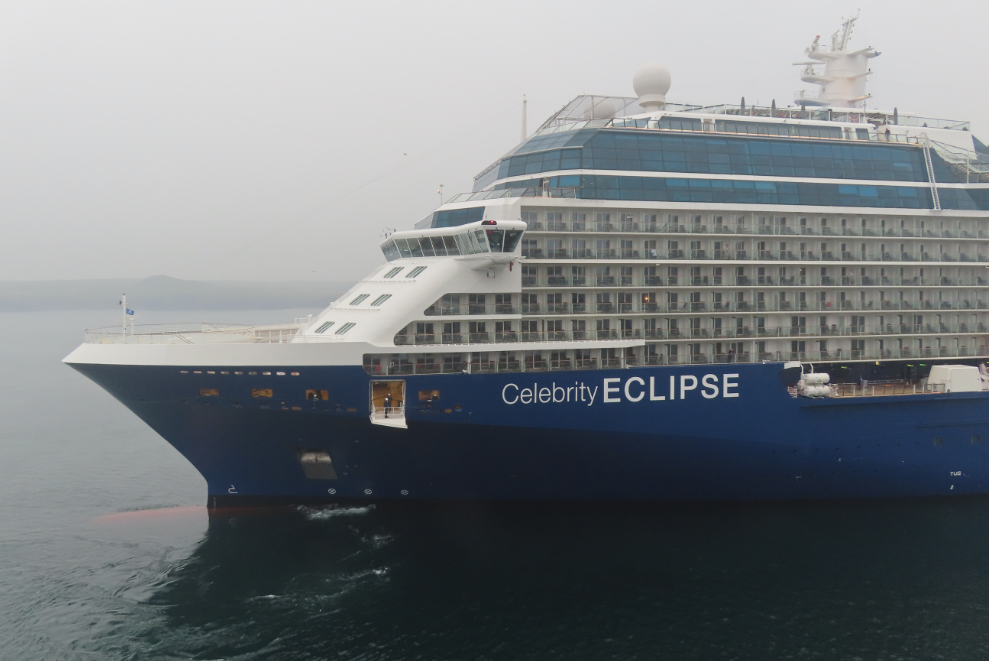
My day began at 06:30 with the Celebrity Eclipse filling my view as she backed into the dock behind us.
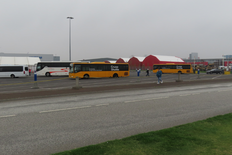
At 07:45 we were back at the bus loading area. Getting things sorted out was much quicker than yesterday.
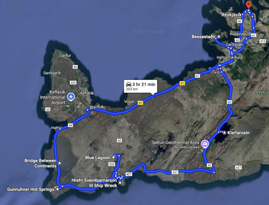
I’ll start the tour with a map – see an interactive version here.
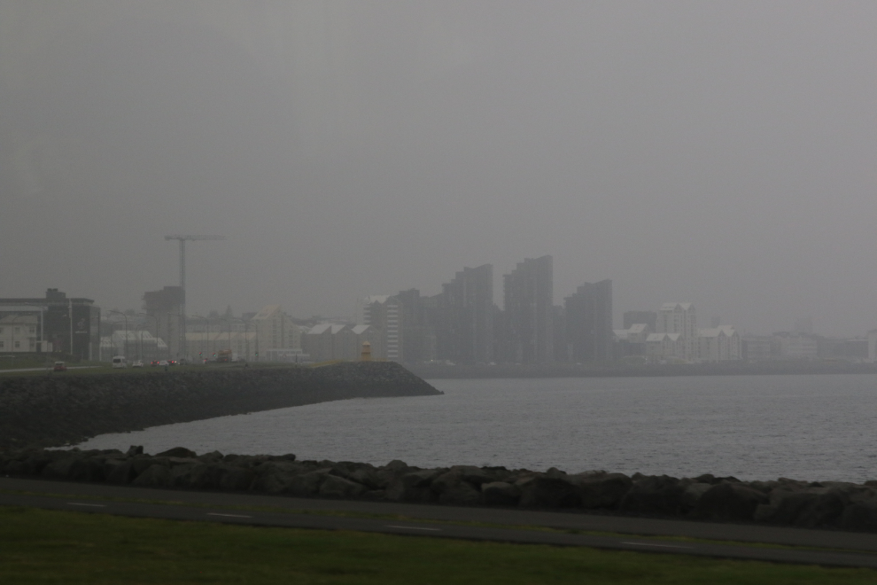
Visibility was very poor, and this is all we saw of downtown Reykjavik. The general consensus is that fog is mixing with smoke from the Sundhnúkur volcanic eruption about 50 km to the southeast.
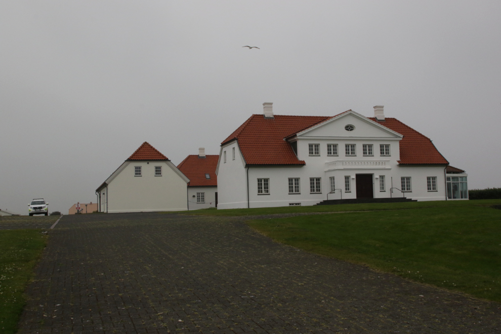
Our first stop was at Bessastadir, the official residence of the president of Iceland. In Iceland, the president is just an ordinary person elected to a high position – there are no motorcades when she goes out, no paparazzi, no obvious security at the residence.
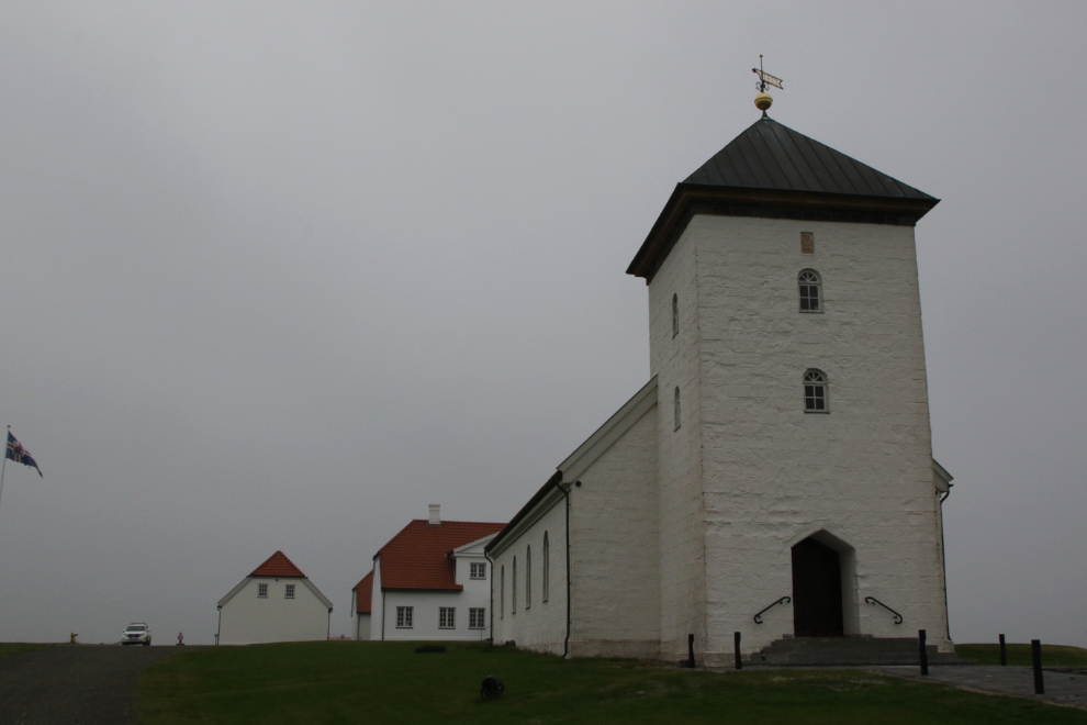
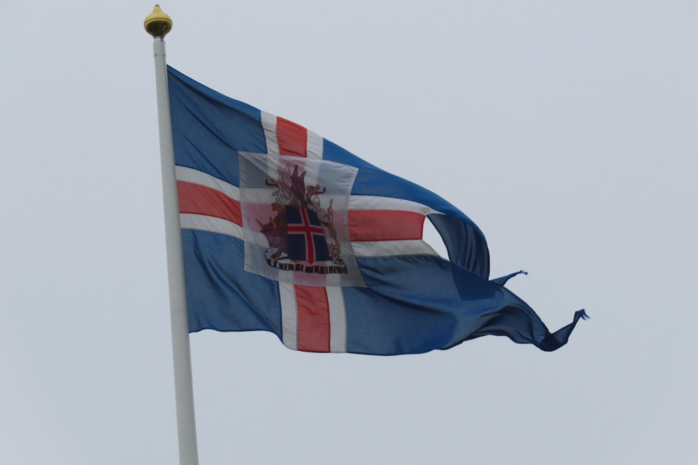
The flag showed that the President, Halla Tómasdóttir, was at home. The photo of her was shot at a conference last year.

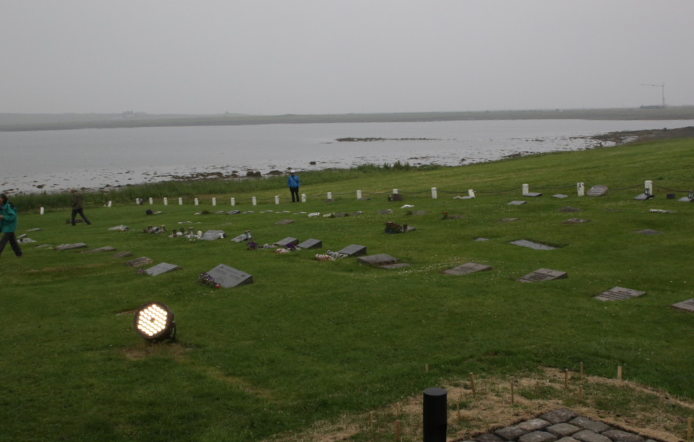
This history of Bessastadir goes back over 1200 years, and the cemetery out front hints at some of its story. It was donated to Iceland in 1941 for the express purpose of being the home of the Regent, and now President.
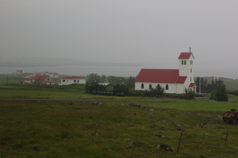
Continuing south, there was, as always, lots to see along the highway. Lovely churches…
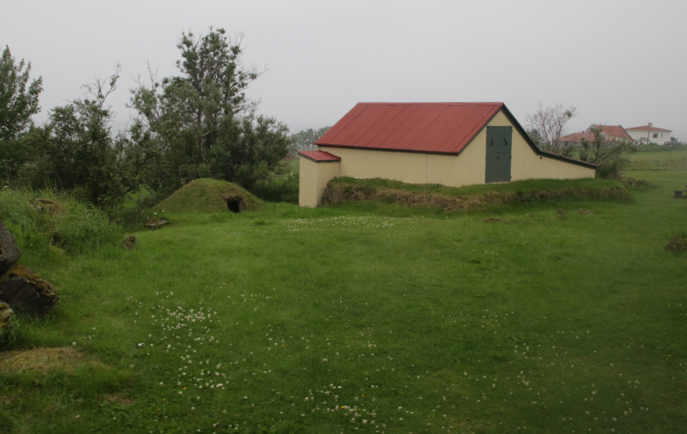
…old farm buildings…
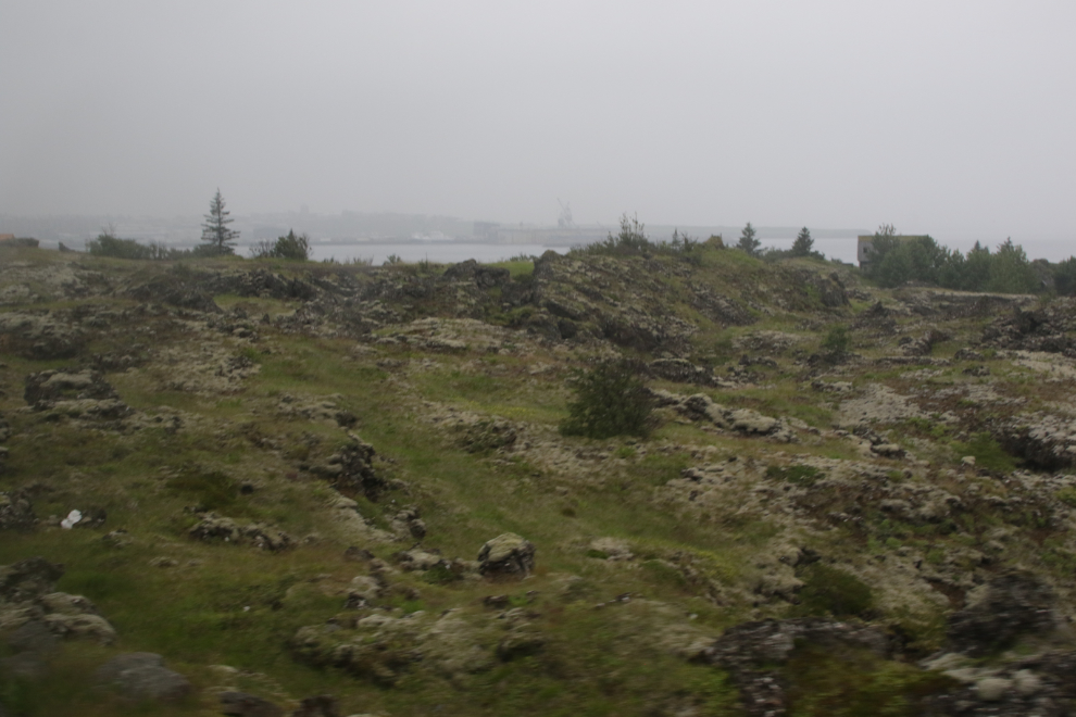
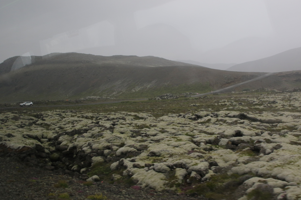
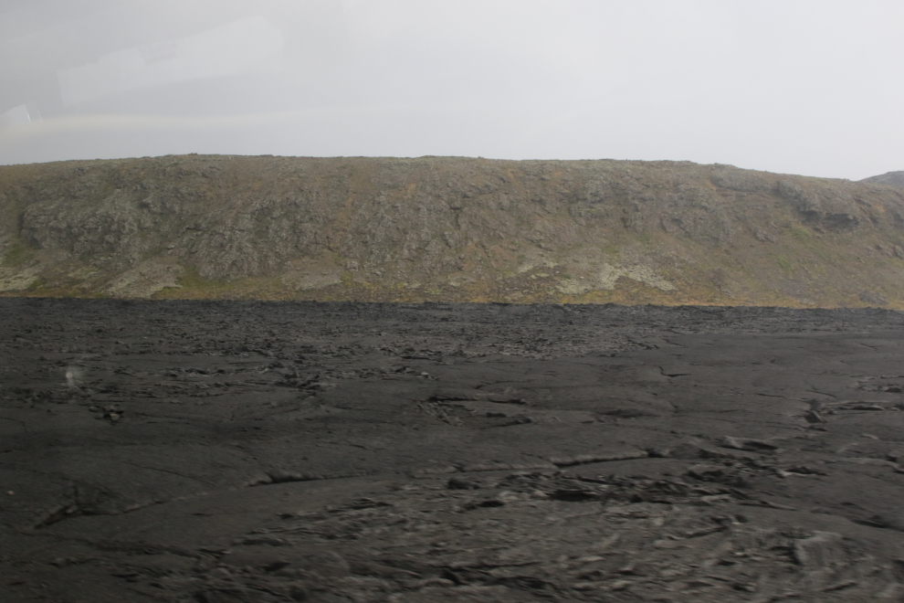
…and lava fields. Lot of lava fields.
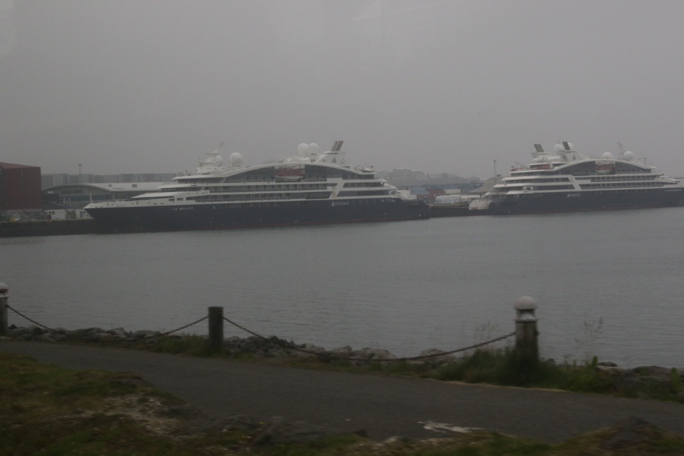
I was very surprised to see two Ponant cruise ships docked together at Hafnarfjördur.
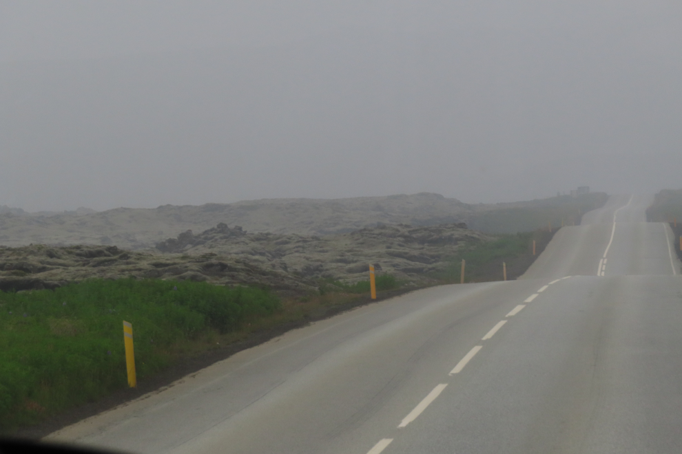
We soon turned off the freeway onto 2-lane Route 42, Krýsuvíkurvegur. Now we were in lava fields much more often, and the percentage climbed as we continued south.
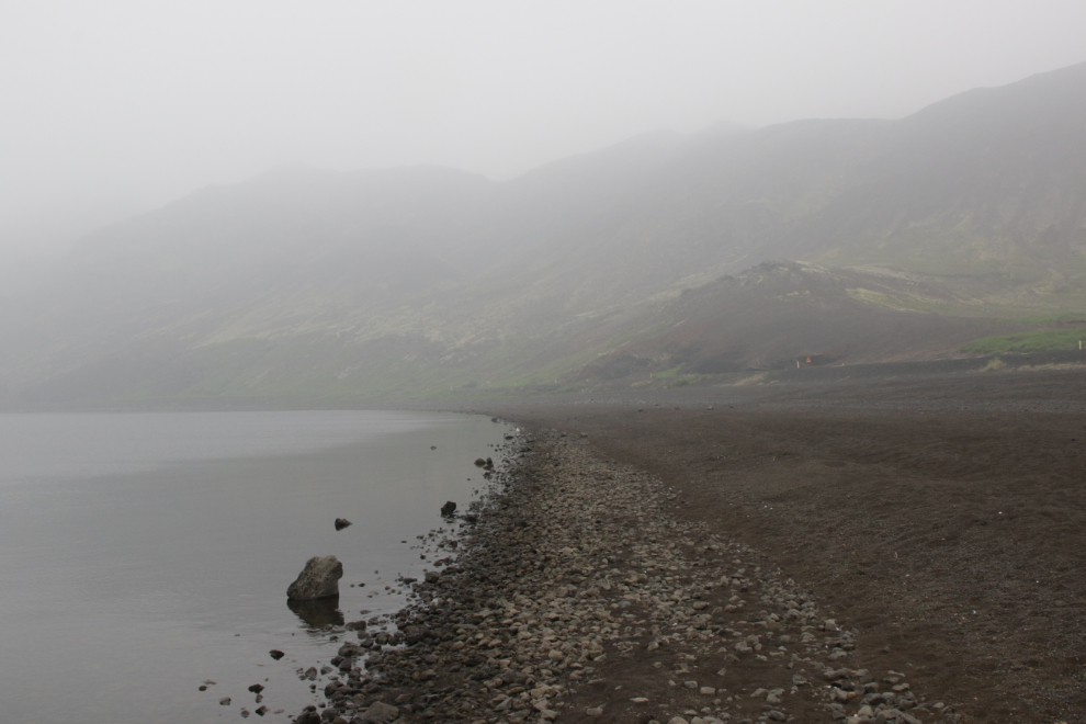
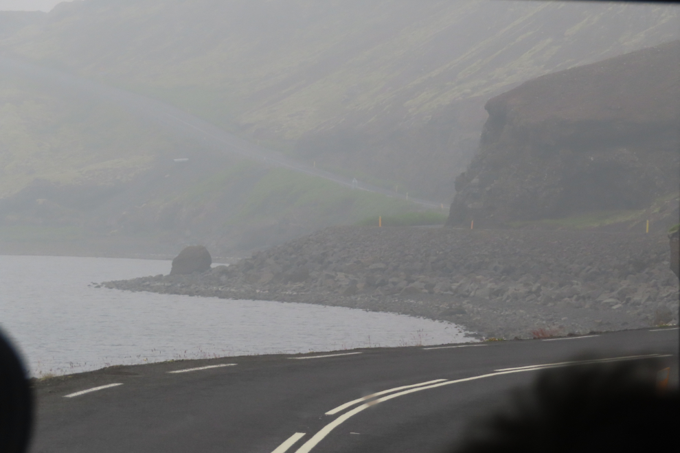
The views as we approached Kleifarvatn, the largest lake on the Reykjanes Peninsula, were quite limited, so we went down to the shore for a close look. The vast beach has appeared since major earthquakes in 2000 – the lake surface is at least 17 feet lower now.
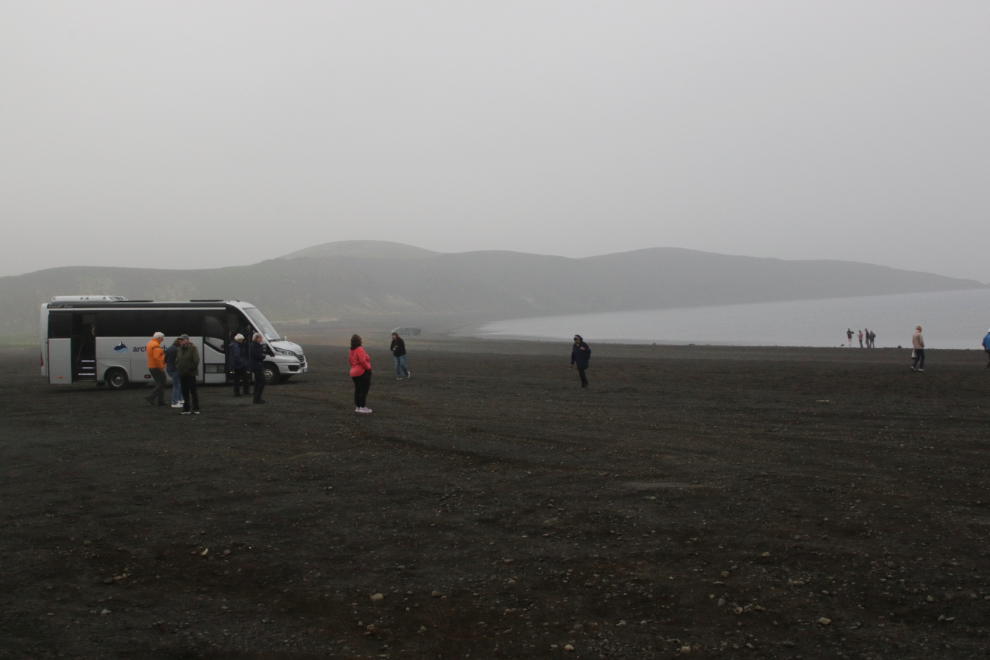
I checked the water temperature, thinking there might be some volcanic warming. Although there is at least one and possibly three thermal vents under the lake, you’d never know it from the water temperature – it’s very cold.
The landforms were endlessly fascinating to me.
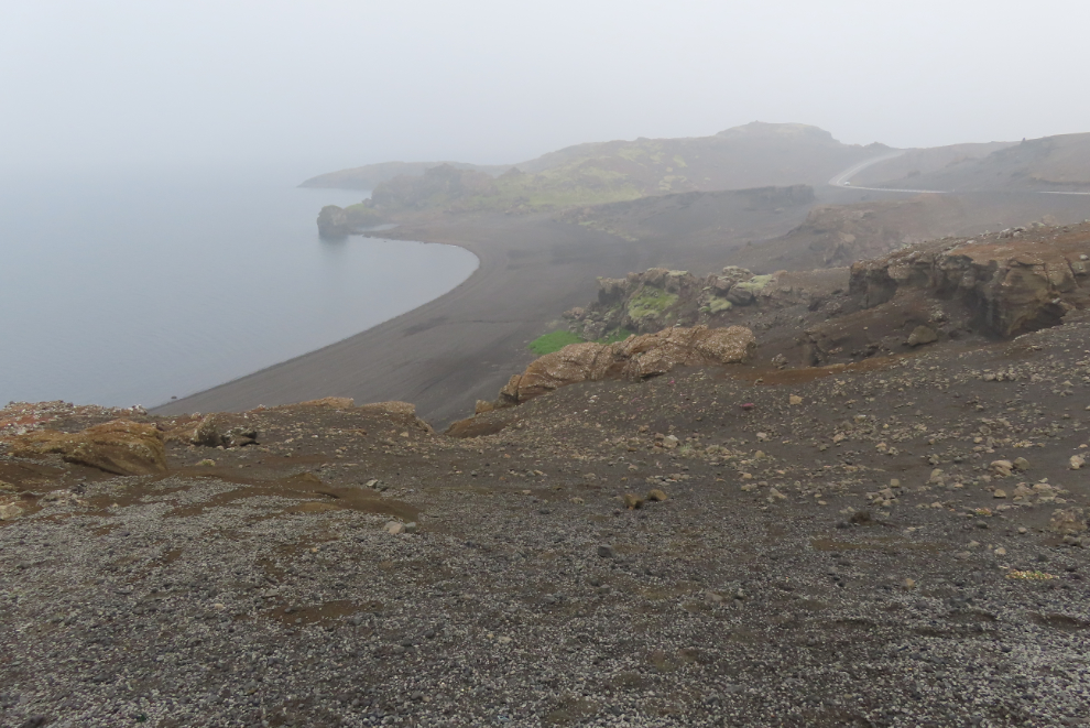
Route 42 goes along Kleifarvatn, then climbs above it, and we stopped at a viewpoint.
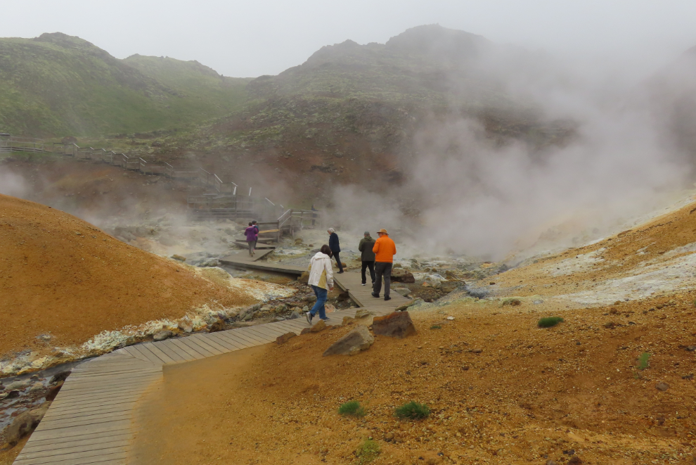
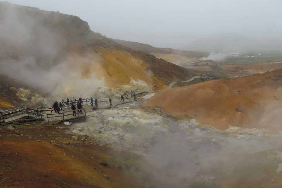
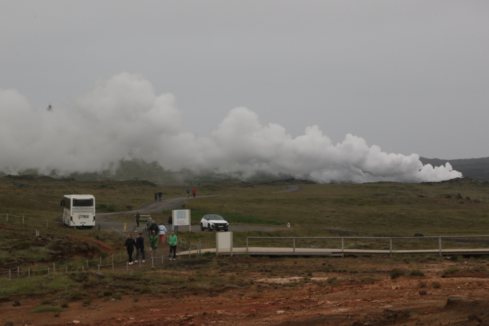
From there it’s only 10 minutes to the Seltún Geothermal Area, where we made a lengthy stop. People can just barely be seen in this photo of the steam as we arrived.
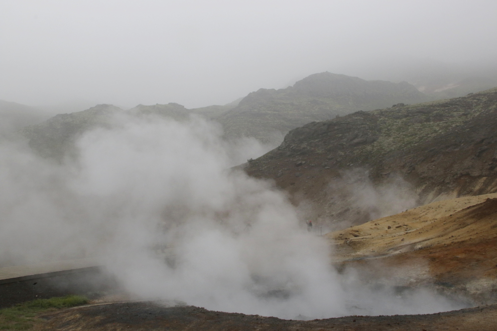
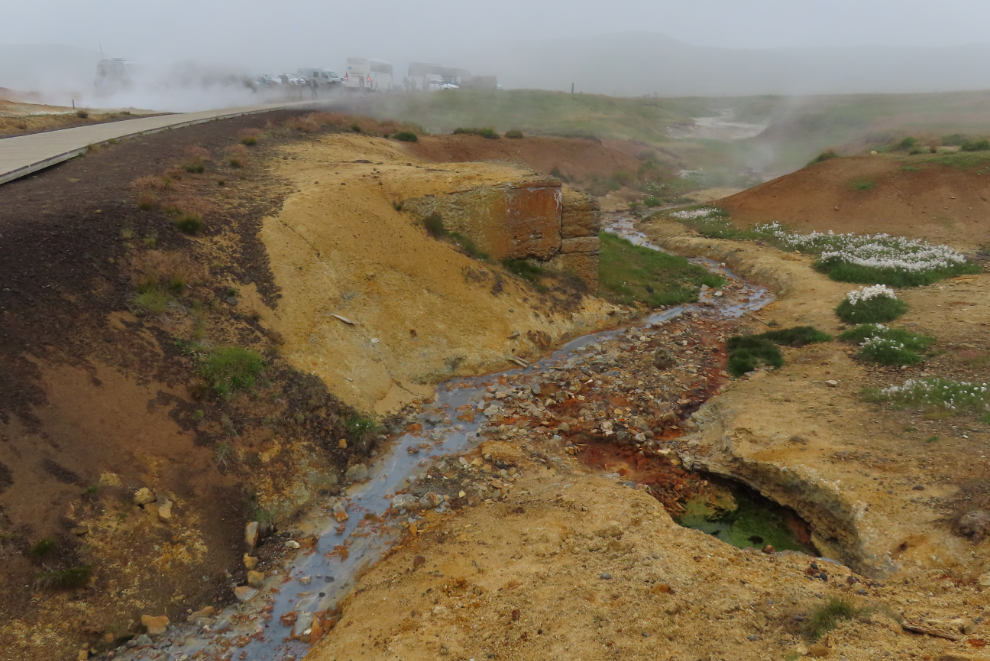
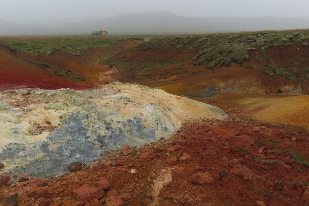
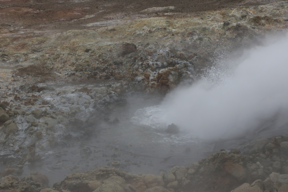
Seltún is a tiny part of the massive Krýsuvík geothermal area, but is justly famous because of the variety and number of features including boiling mud pools and steam vents, and the brilliant colours of some of the ground.
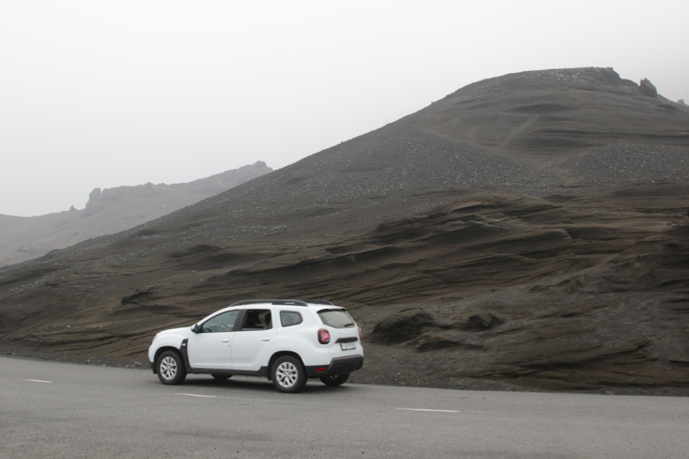
Continuing south on Route 42, the volcanic landscapes became the norm, including some large cider cones.
There are a lot of “jeep” roads leading off into the lava fields. I expect there is some amazing exploring to be done back there.
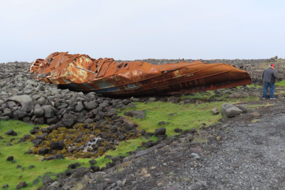
Nearing the south coast, we turned west onto Route 427. About 10 minutes later, we turned onto a narrow dirt track that took us past a couple of farms…
…to part of the wreck of the fishing boat Hrafn Sveinbjarnarson III, which went aground on the west side of the Hópsnes Peninsula on February 12, 1988. An Icelandic Coast Guard helicopter rescued all crew members, and the ship was later broken up by the waves – this is just one of several sites where wreckage from it can be found among the lava.

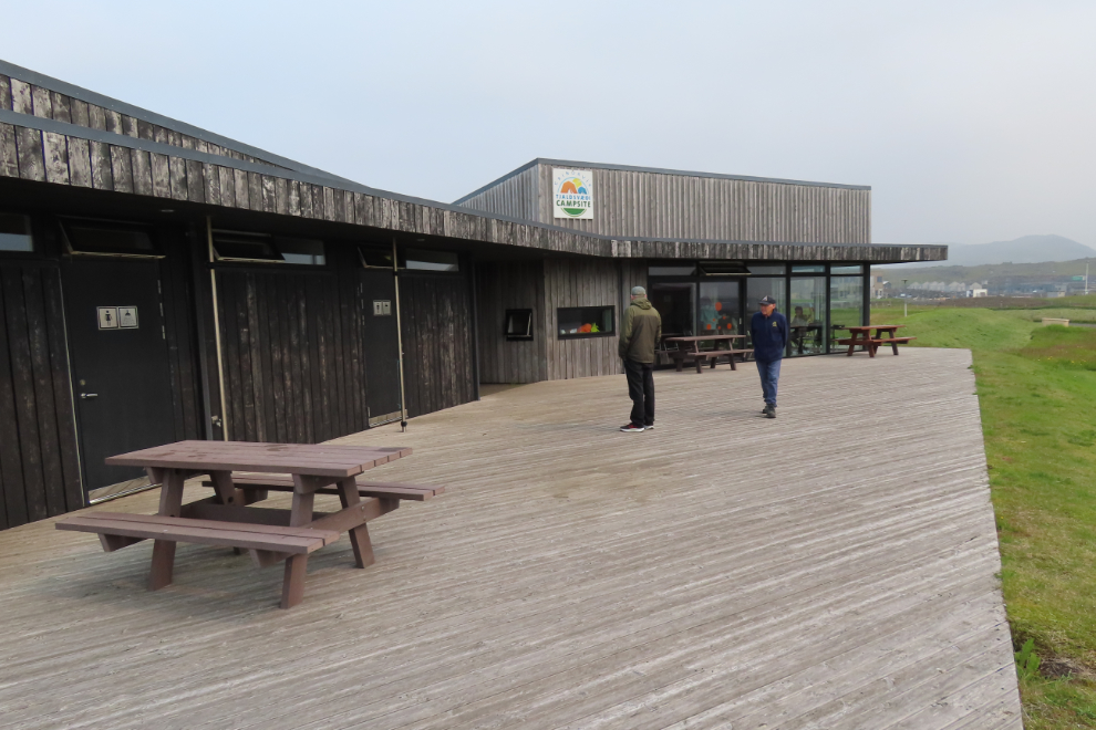
Reaching the community of Grindavík just before noon, I expected that we would be going to our lunch stop. Instead, we made a lengthy “rest stop” at the very nice Grindavík-Tjaldsvaedi campground a few blocks from it. It still makes no sense to me unless the driver was just killing time because we were too early for the restaurant reservation.
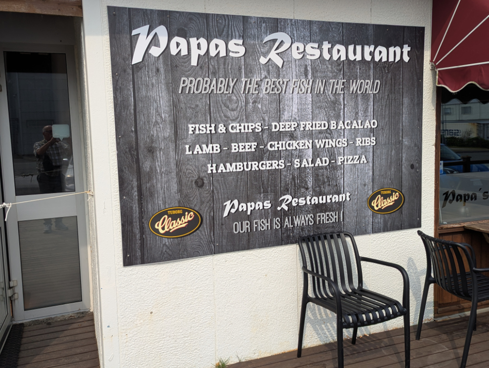
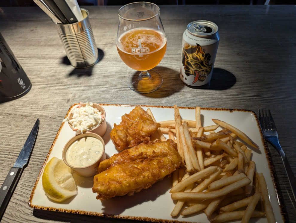
Lunch at Papa’s was very good – with the motto “Probably the best fish in the world” on their sign, it better be! 🙂 I again had the cod and chips.
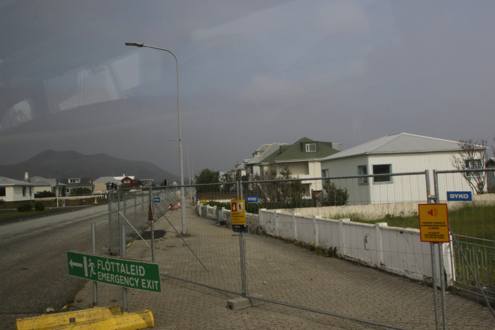
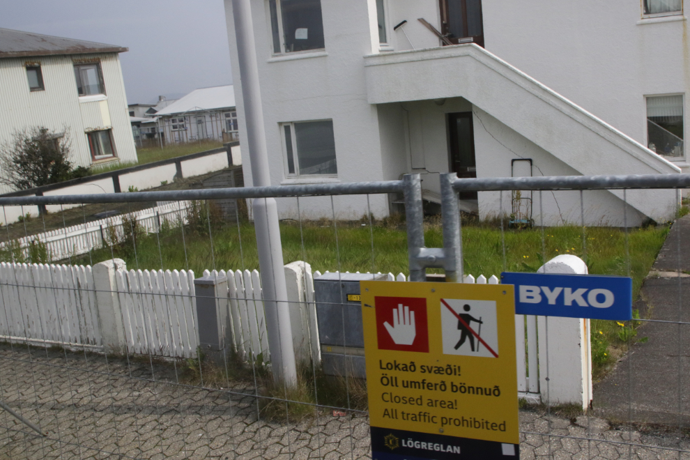
At our two stops in Grindavík, life looked pretty normal. As we were leaving, Cathy commented that all the homes looked empty, and a minute later, we did a very slow pass along a line of homes on the main street that had been badly damaged by shifting ground and were abandoned – each had a sign in the living room window stating in various ways that they were gone.
What happened at Grindavík is a long and complex story, but here’a a brief summary as it is today. On October 25, 2023, an earthquake swarm began north of Grindavík and intensified in the following days. In the next 2 weeks there were more than 22,000 earthquakes, and a state of emergency was declared due to fears of a volcanic eruption in the middle of town. On November 10, 2023, an evacuation order was issued and the town emptied. On October 21, 2024, the evacuation order was lifted and a few residents returned. However, that could change at any time. On the morning of January 14, 2024, two volcanic fissures erupted at the edge of town – lava from those eruptions breached defensive barriers and destroyed 3 homes.
A large display of photos in a parking lot tells a bit of the story. The images on Google Maps and Google Earth are currently from August 8, 2023 – the next updates should be very interesting.
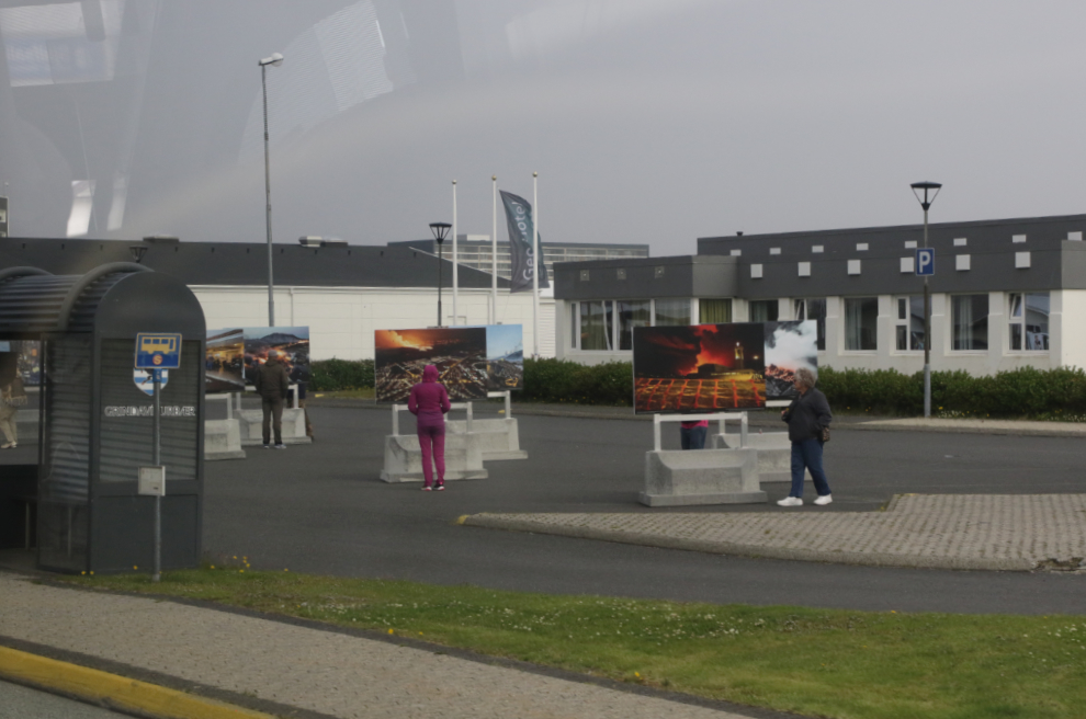
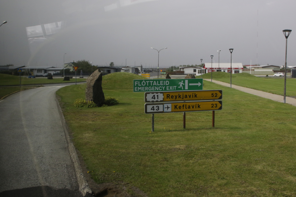
“Emergency exit” – west to the city and the airport. To see a once-vibrant community destroyed like this is heartbreaking.
The former route of Route 43 is now blocked by a massive wall that was constructed, and by lava behind it.
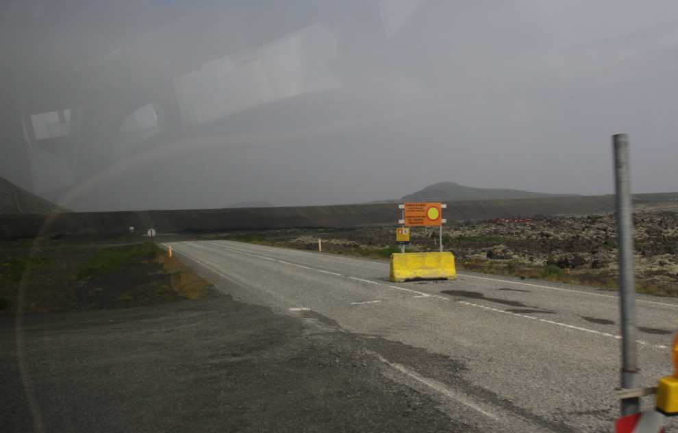
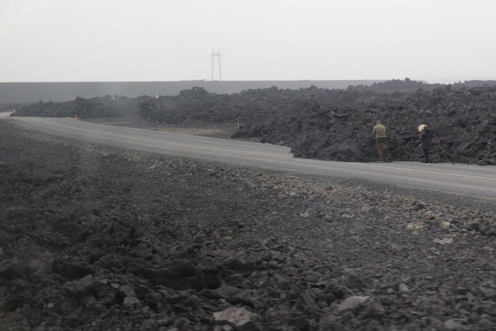
Continuing north on Route 43, we were now in the area most affected by both the eruptions in recent years, and the one currently happening. This field of jet-black lava is from the eruptions 8 months ago. There was a large hose leading from a water tank – my guess is that they were trying to slow the advance by spraying it with water.
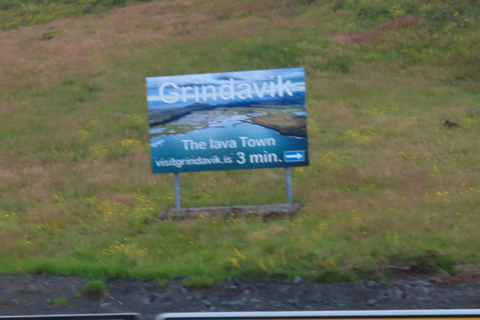
As we detoured to see the Svartsengi Geothermal Power Plant and the Blue Lagoon, this sign was at the junction – “Grindavík – the lava town.” Volcano tourism is big business.
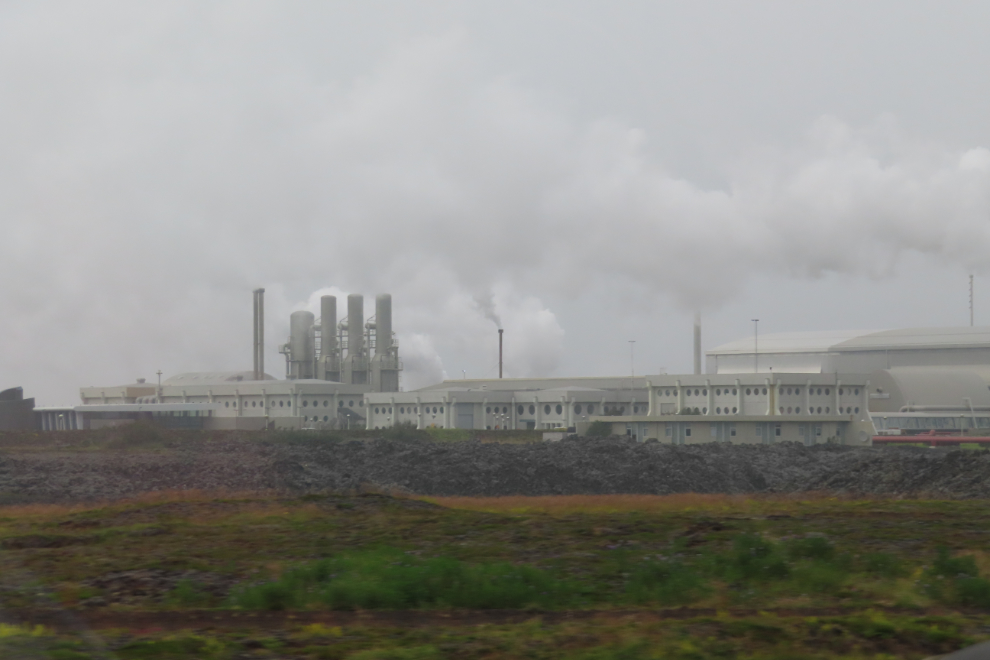
The Svartsengi Geothermal Power Plant is one of the most important heating plants in Iceland, providing hot water for the district heating system of the entire Reykjanes Peninsula – more than 21,000 households. Vast sums of money are being spent trying to protect it.
Lava blocking the former road to the Blue Lagoon. We drove into the parking lot but didn’t see the lagoon. Our driver said there is no way he will go there, as it’s possible that the water could become boiling hot in seconds, killing everyone in it. Although there are plenty of deniers online saying that couldn’t happen, but if a fissure opened under the lagoon, it obviously could.
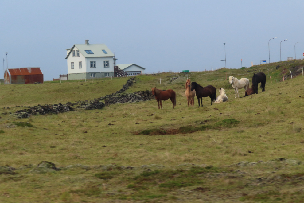
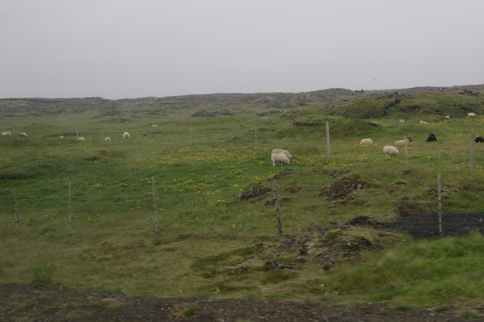
Heading west now on Route 425, the Nesvegur, it was strange to see some farms still operating, tucked in between the massive lava fields.
We stopped for a look at a large fissure that opened up across the highway (I think this is from 2010). This was just from the shoulder of the road – we didn’t get off the bus.
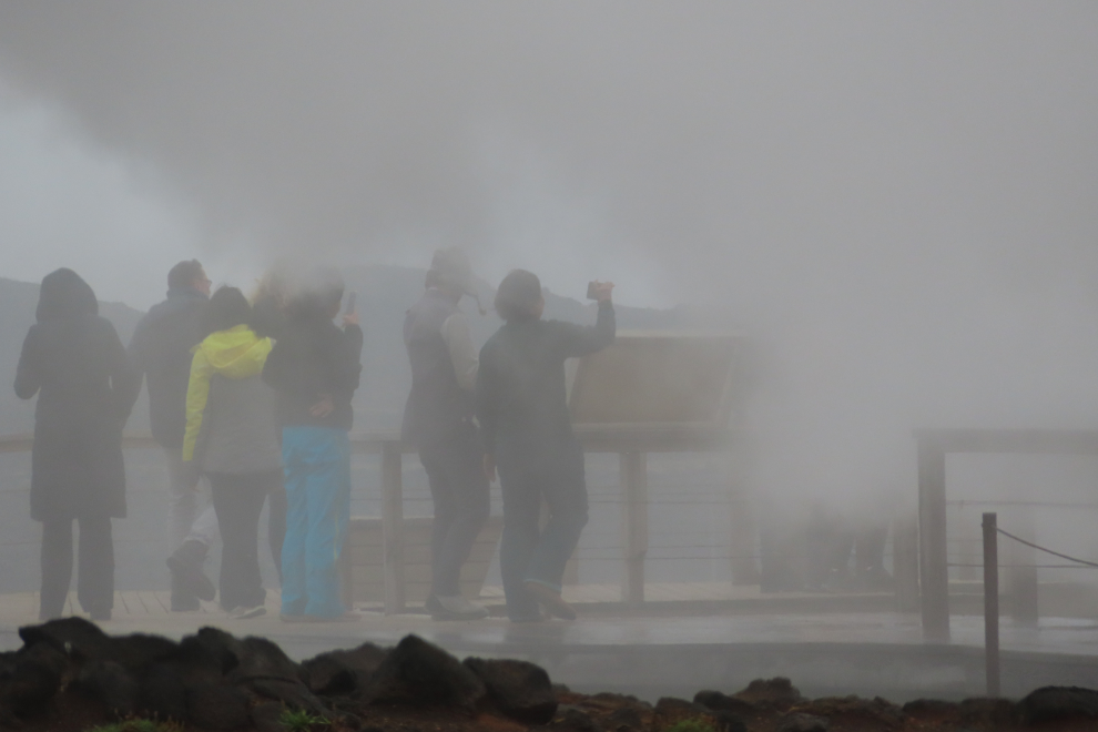
Our next stop was at Gunnuhver Hot Springs.
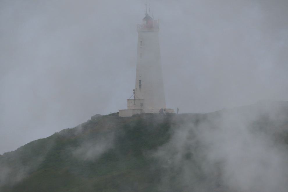
The fun thing at Gunnuhver was the steam vent that often completely blinded people in the steam – I went into the cloud and couldn’t see my hand in front of my face for a minute. 🙂
The Reykjanes Lighthouse could occasionally be seen through the steam.
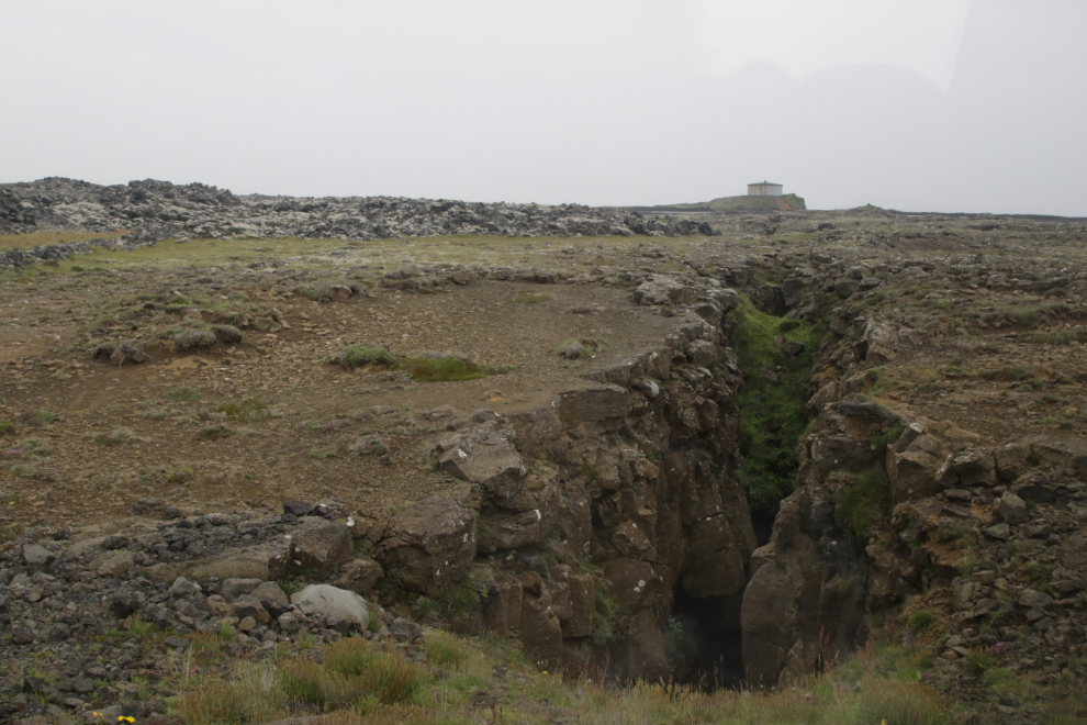
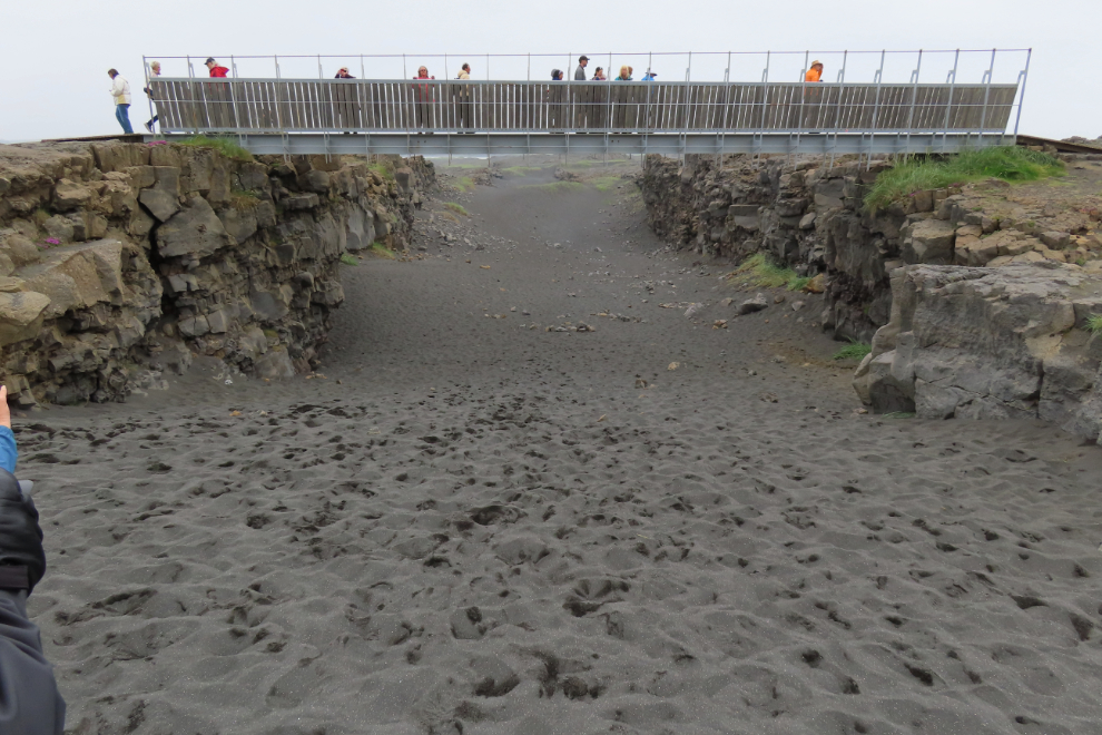
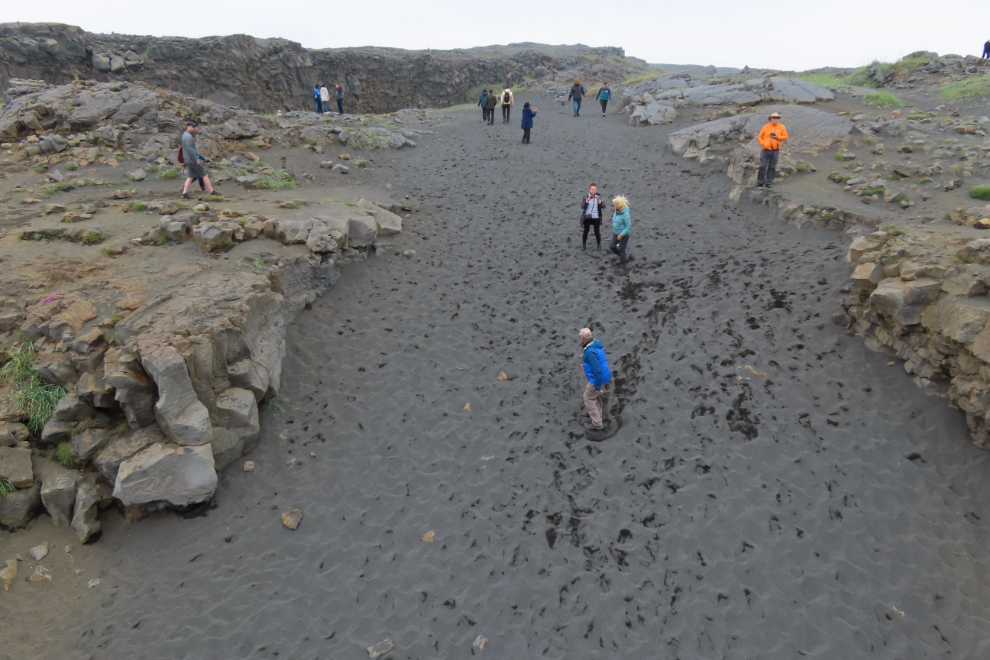
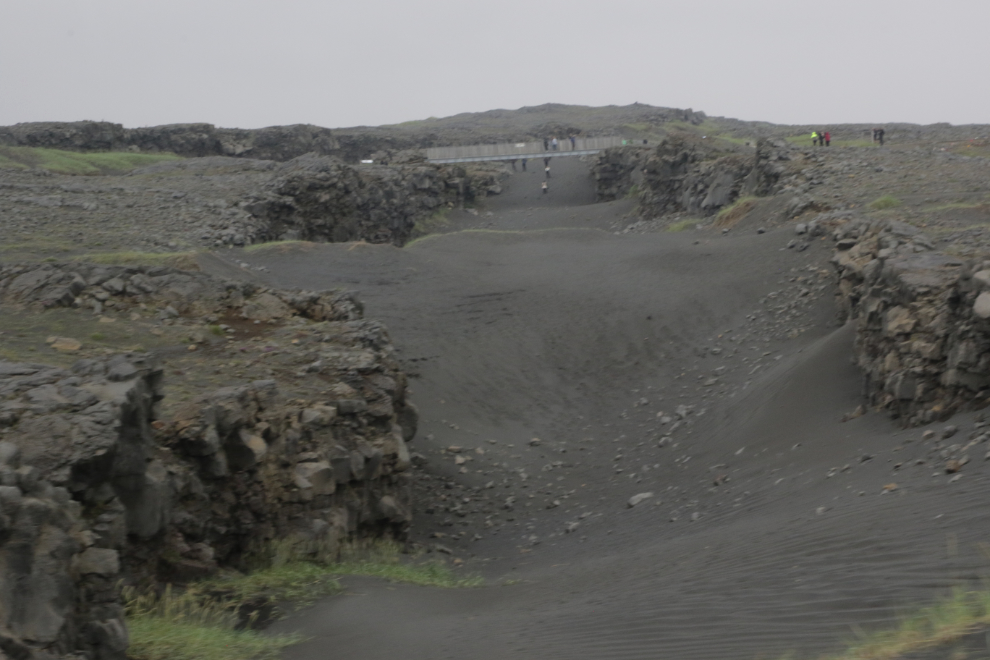
Our final stop of the day was at the Bridge Between Continents, a 15-meter (50-foot) footbridge that spans a rift between the Eurasian and North American tectonic plates. Interpretation here is particularly good.
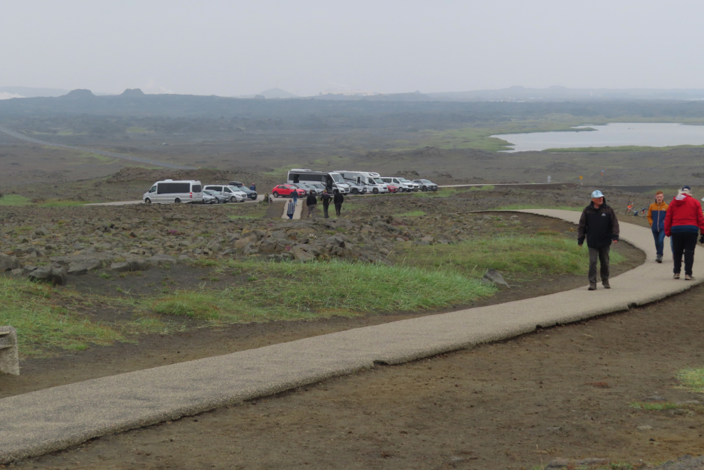
Walking back to the parking lot. There was a well-equipped touring bicycle along the pathway with a Canadian flag on it – the rider never did appear, but I would have loved to hear that story. Note the three large cider cones to the distant left.
The Bridge seen from the highway as we left.
Almost back to Reykjavik. This tour lasted 8½ hours – much more reasonable than yesterday’s 11½ hours. Many people say one or the other is better, but the sites visited were so different that I’m just going to say that you need to do both. These tours were arranged by one of our fellow passengers, through Gateway to Iceland Tours.
The next day, Tuesday, July 22nd, we would spend the day at sea, sailing from Iceland to Runavik, Faroe Islands.