Top of the World & Taylor Highways to Tok, Alaska
The adventure continues. Yesterday we crossed over a highway that strikes fear into the hearts of many RV drivers – the Top of the World. Most of those people actually use the name incorrectly, though, because it’s the Taylor Highway on the Alaska side that gets drivers’ heart rates up. Even after some 120 crossings, there’s about 15 minutes on the Taylor that keeps me hoping that we don’t meet any oncoming traffic, especially a fuel tanker.
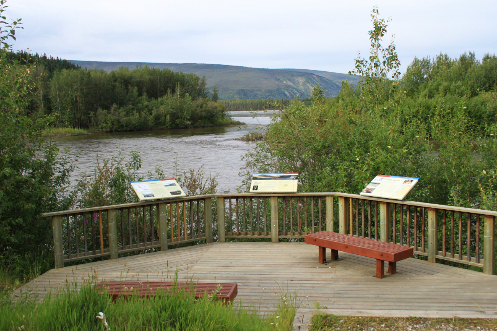
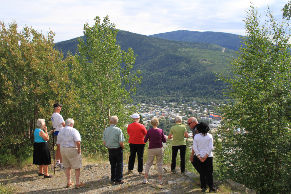
We had a very leisurely morning. I washed the bus and topped off the very small fuel tank, then went for a walk at the junction of the Klondike and Yukon Rivers, where this interpretive viewpoint has been built.
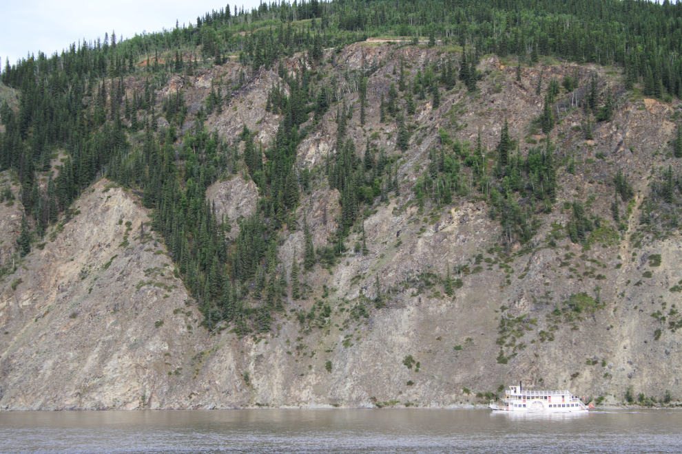
The Klondike Spirit chugged past as I was on the trail. I really love seeing a sternwheeler back on the river!
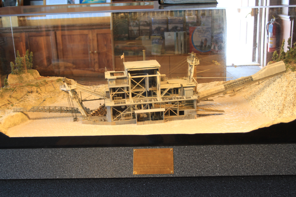
My next stop was the Visitor Centre – I just had to know about the sign on the Westminster Hotel. The women there just said that it was done as a joke. While I was there, I had another look at this extremely detailed model of Dredge #4, built by Brian Pate of Vancouver.
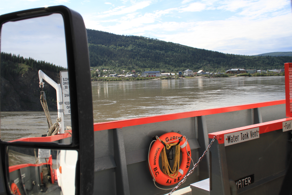
Just before 11:00 we left the hotel, and in a few minutes were crossing the Yukon River on the ferry George Black. I love this ride, but some apparently don’t. While I was in the Visitor Centre yesterday I heard a woman who was quite incredulous that you couldn’t DRIVE to the other side of the river!! Year by year, we’re losing things like the George Black that give this country character – roads get straighter and smoother, highways replace railways, old buildings fall down or get torn down to be replaced by steel and vinyl, and more and more regulations get added to get people in line, to whip the “Yukon” out of them.
A last look at Dawson City, with the Midnight Dome where we began yesterday’s tour rising behind. I’m always sad to leave.
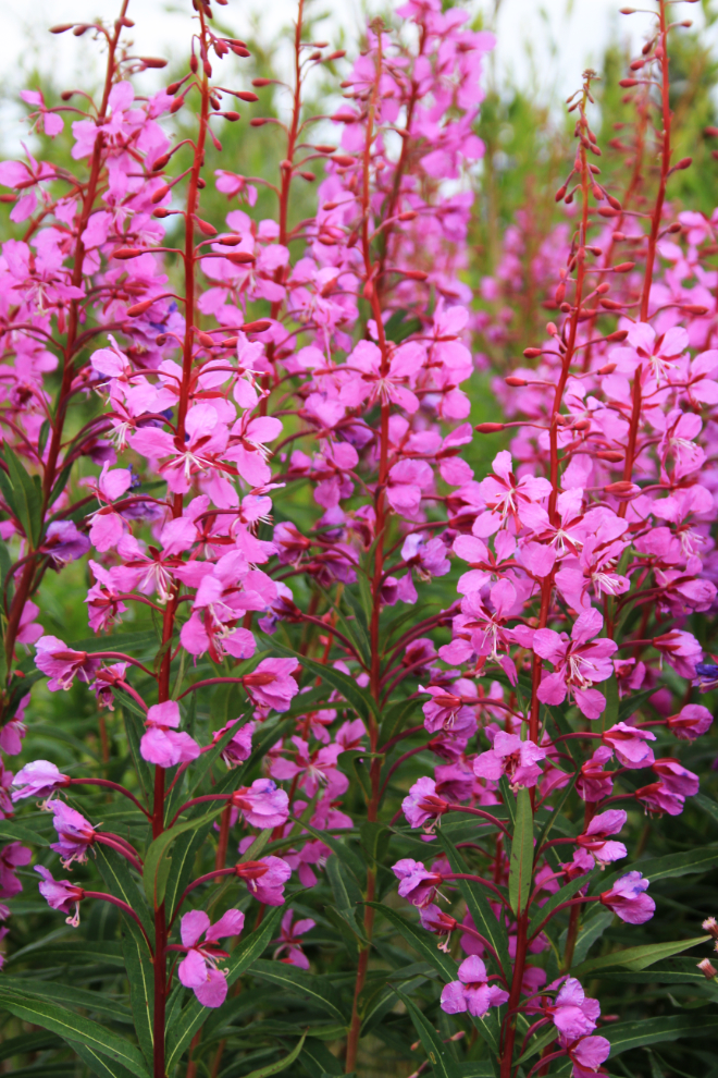
A fairly large patch of fireweed prompted a turn into this gravel pit…
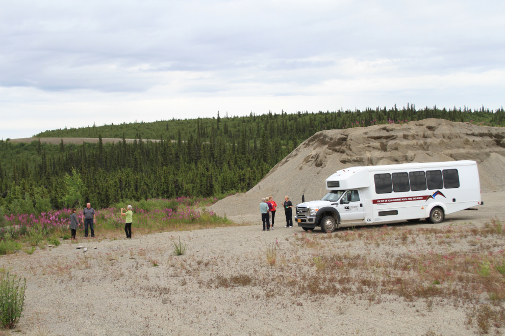
… for some photos like this.
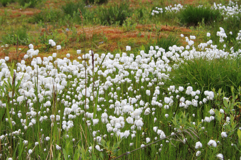
The first large field of Arctic cotton grass is always good for another stop. I thoroughly enjoy this road – there’s so much to see, from vast expanses of mountains to little details like flowers and unique geologic features.
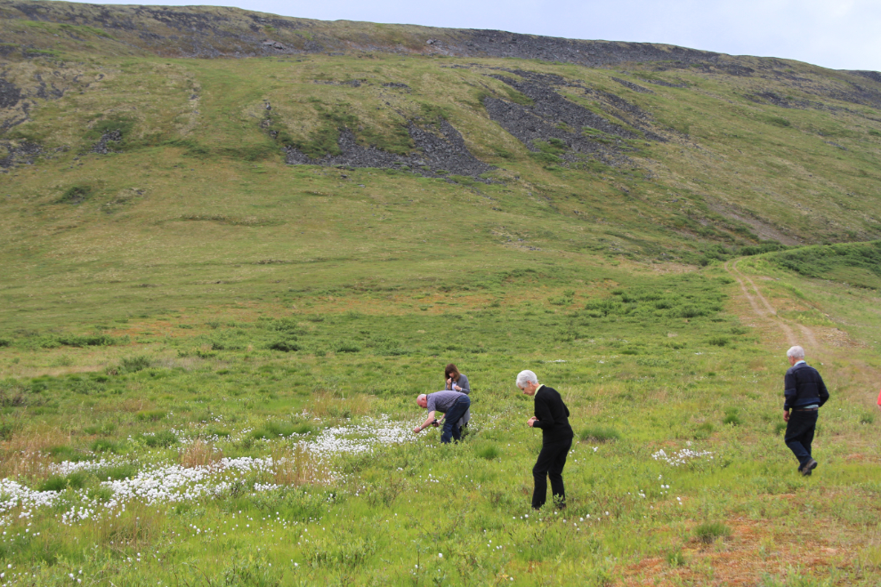
A closer look at Arctic cotton grass.
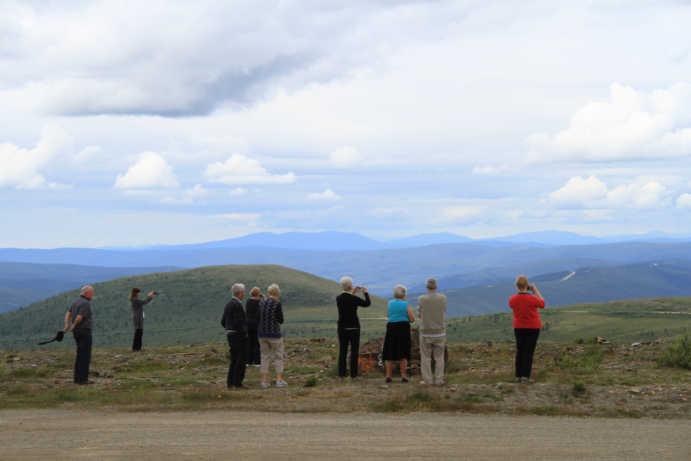
The view from the summit at 4,515 feet.
As happened last year, the border crossing at Poker Creek was a bloody slog that took an hour. 🙁
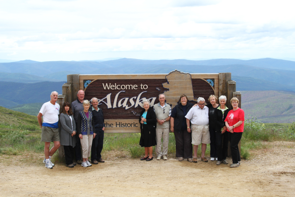
We reached the “Welcome to Alaska” sign just before 3 Holland America coaches. I very quickly took this group photo with each person’s camera (about 9 of them) and we were back on the road at 2:20 (1:20 Alaska time).
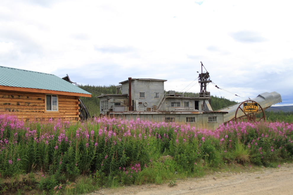
Our late-lunch stop was at the Chicken Gold Camp. This is one of the few bright lights in a very slow tourist year. If you build it they may not come, but if you build quality, they will, and Mike and Lou continue to do an amazing job here. My travel companions are always impressed.
On the way back to the Taylor Highway I stopped to get everyone the perfect “Alaska” photo – fireweed with a log cabin and a gold dredge. With Dredge #4 in Dawson not opening next year, Mike plans to fill the dredge-tour gap with his Pedro Dredge.
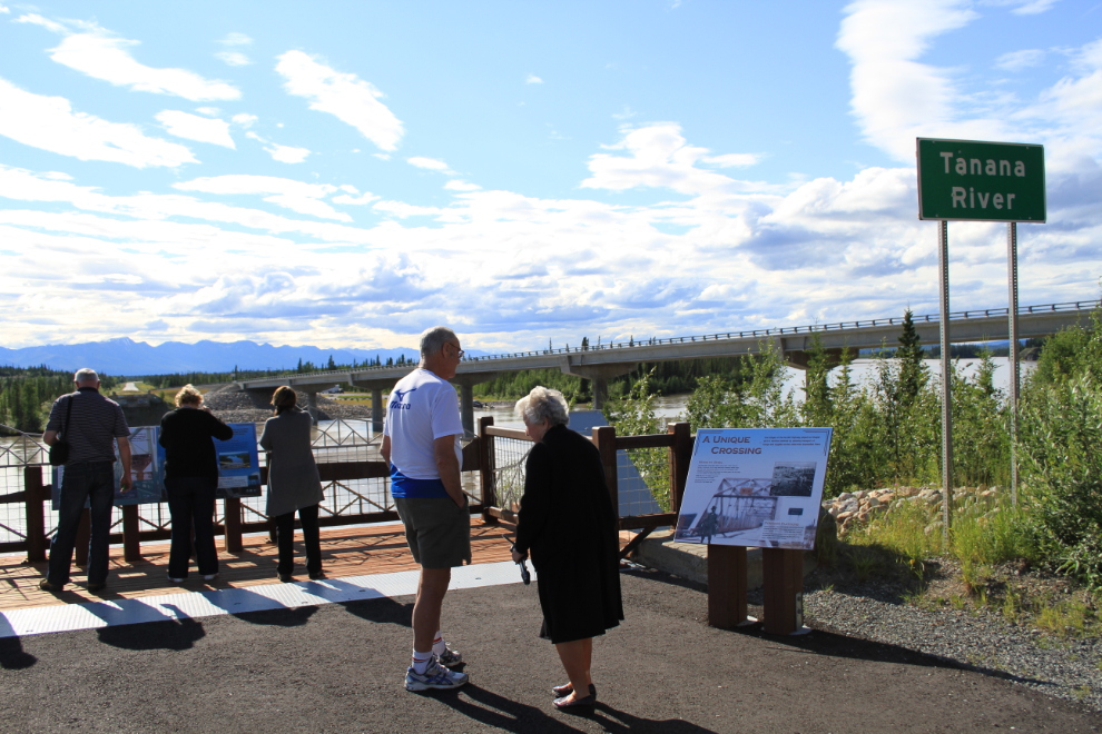
Back on the Alaska Highway, the large new interpretive rest area at the Tanana River bridge makes an excellent stop.
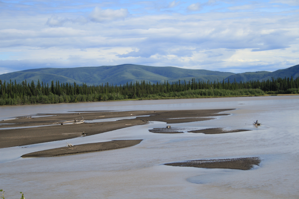
The Tanana River.
We reached the Westmark Hotel in Tok at 5:45 Alaska, time for a long, brisk walk before dinner with one of my new mates. In about 5 hours we’ll be leaving for Fairbanks, where we’ll stay for 2 nights.