To Kluane Country in the sunshine
After an excellent weekend at the Sourdough Rendezvous, I decided to take advantage of a forecast sunny day for a drive out the Alaska Highway to Kluane Lake, a bit over 500 kilometers (310 miles) round-trip from home. The dogs and I all need to get more exercise!
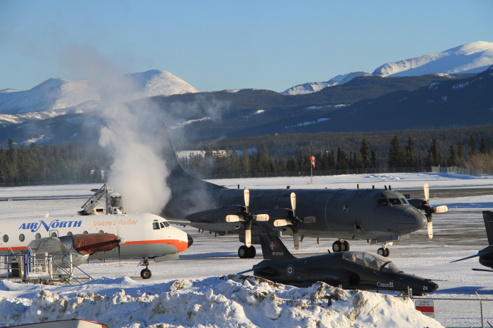
I stopped for a few minutes at the airport to watch the Aurora that had come in for the air show being de-iced…
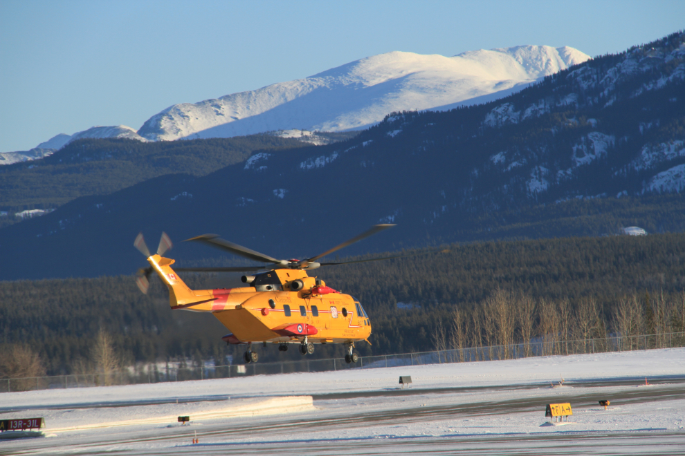
… and the Cormorant and Buffalo depart.
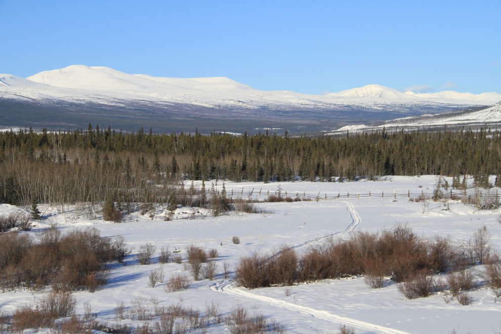
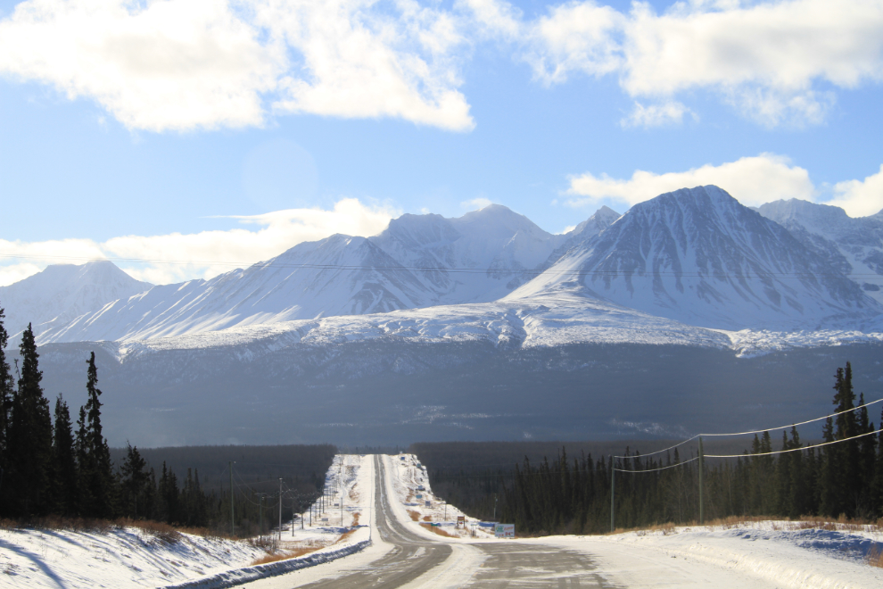
Looking north from Km 1467.5, one of the spots along the Alaska Highway that I have many photos of.
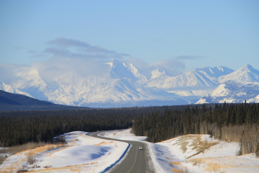
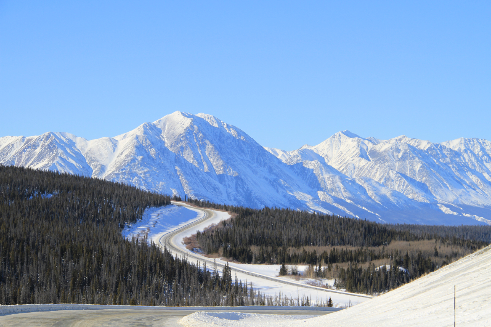
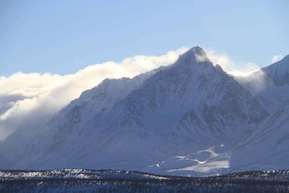
The drive west (north if you prefer) from Whitehorse isn’t as dramatic as my more common route to Skagway, but I do really like getting closer and closer to the Kluane mountains. This was shot from Km 1531.
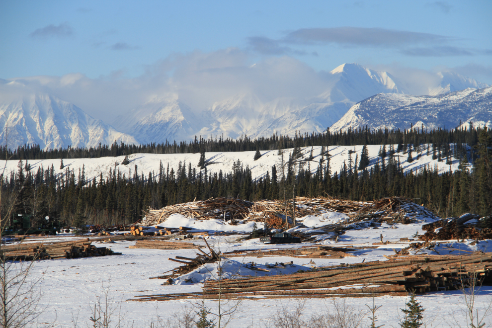
The lumber mill at Canyon Creek appears to still be keeping busy.
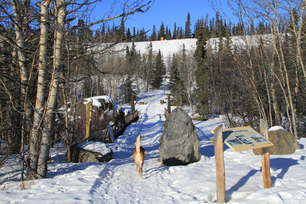
We stopped at the historic Canyon Creek bridge and went for a walk as usual when we go out this way. We sometimes go up to the cemetery on top of the ridge, but not this time.
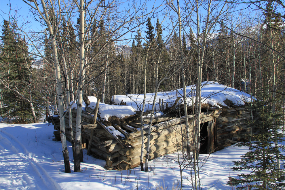
This century-old roadhouse still stands on the west side of the bridge, quite well hidden by vegetation in the summer.
The old highway can be seen to the left of the new one in this shot at Km 1558.
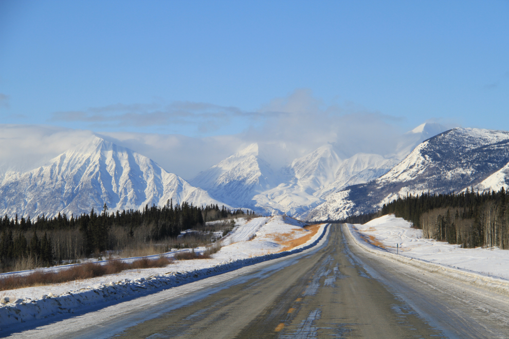
Haines Junction has the most dramatic approach of any of the communities on the Alaska Highway. This spot often literally stops me in my tracks.
The view west from Km 1629.4 as I started down the hill to Christmas Creek, named for a gold discovery on that date a century ago.
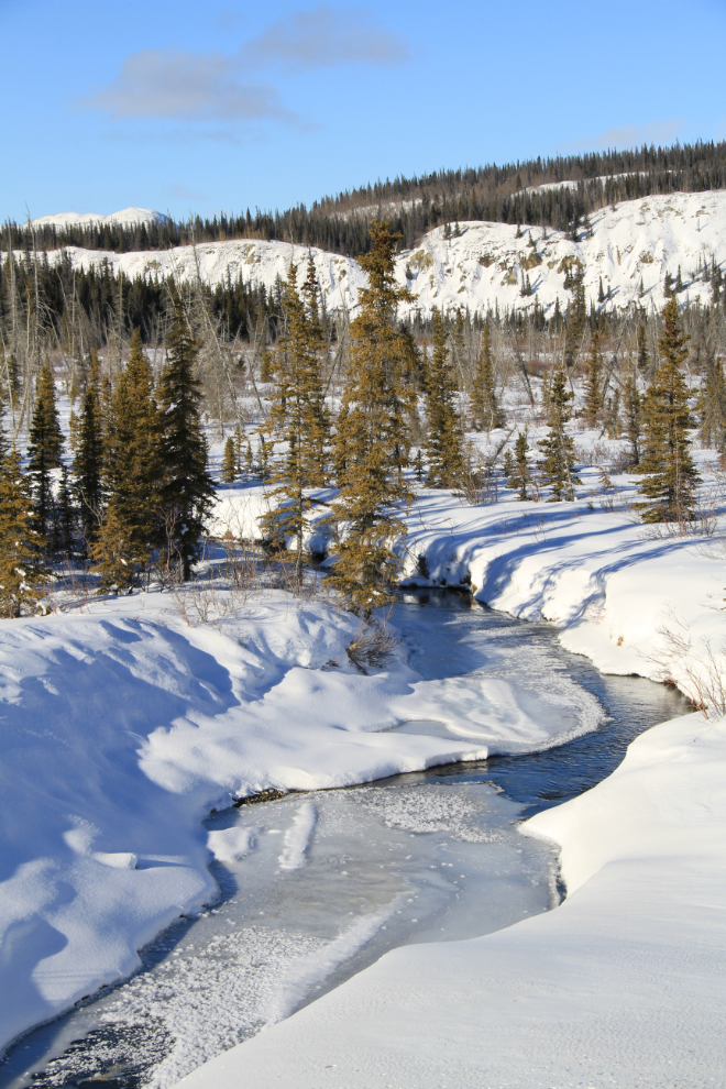
Christmas Creek.
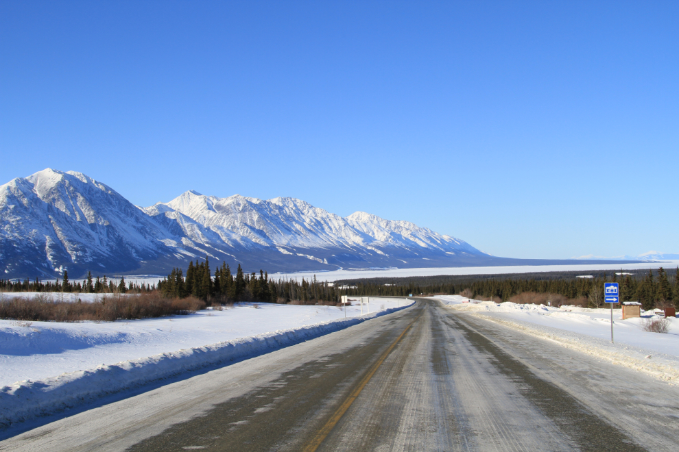
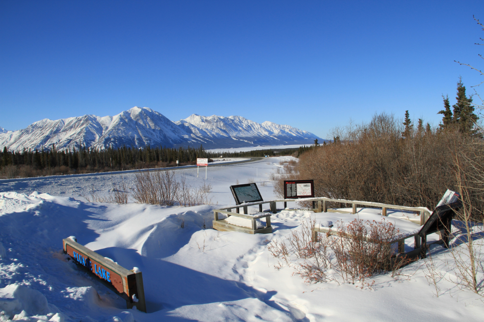
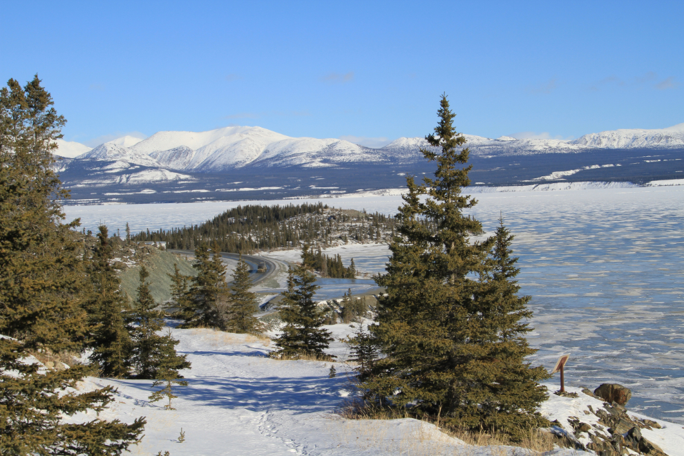
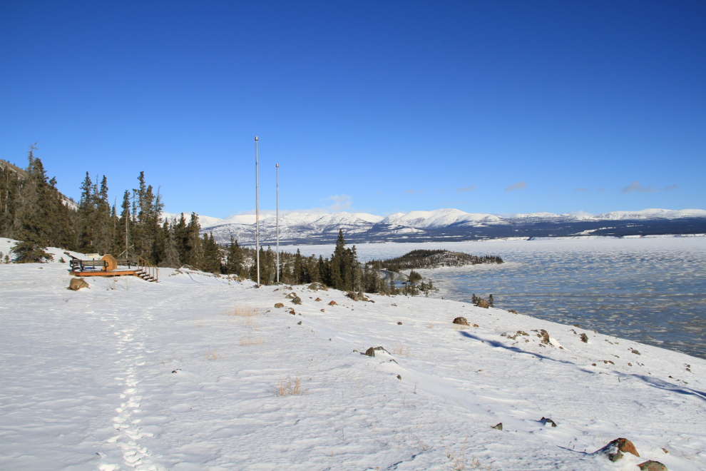
The broad view as you approach the Kluane Lake Viewpoint Rest Area at Km 1635 is wonderful…
…while the view from the viewpoint itself is less so.
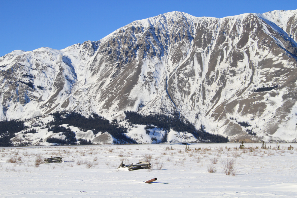
Rounding Kluane Lake, a few artifacts from World War II remain. A section of the Canol pipeline, and the cribbing foundations from the poles of the CanTel telephone line can be seen in this photo. A mile further up, the blade from a bulldozer used during the original road construction can still be seen.
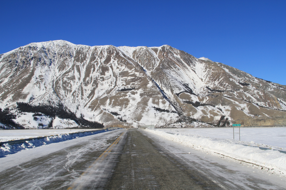
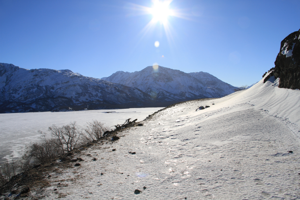
Approaching the Slims River bridge, with Sheep Mountain ahead. The trail I was headed for, a section of the original Alaska Highway, can just barely be seen above the cliffs on the lakeshore to the right.
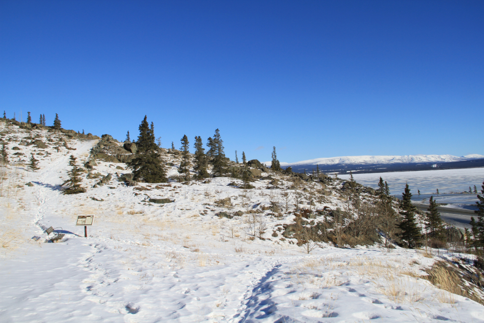
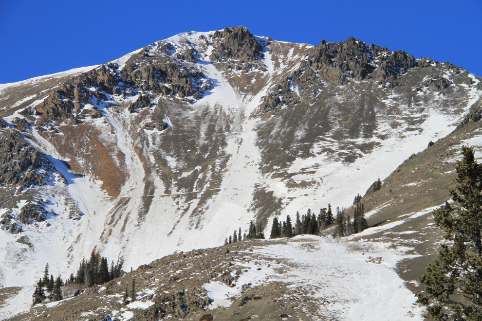
This time of year, many people hike up the old Haines-Fairbanks pipeline road (straight ahead in this photo looking back down the trail), because there’s a much higher likelihood of seeing Dall sheep. Having the dogs with me, though, I didn’t want to see sheep except from the car.
I was surprised by how little snow there was. It made for much easier hiking than I’d expected and planned for. All in all, it was a 9.5/10 day for a hike 🙂
The sheep trails on the slopes above are even more obvious with a dusting of snow on them.
This is Soldiers Summit where the ceremony to open the highway was held on a bitterly cold day, November 20th, 1942.
This is where we turned around. The footing was getting quite treacherous and it’s a long drop to the left, but I think Monty got a sniff of sheep and had started climbing up to the right, so it was a good time to head back.
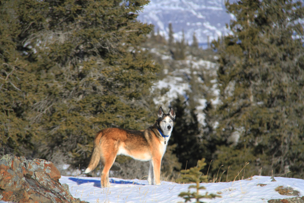
Monty surveying his world as we walked back to the car.
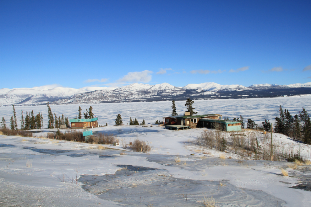
I drove another few miles down the lake because the sheep sometimes come down onto the road this time of year, but at the long-abandoned Bayshore Inn, turned around and headed home.
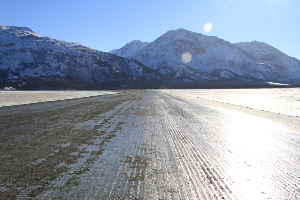
There was a lot of ice on the highway. The sun reflecting off it was blinding in some spots, and yes, it was very slippery.
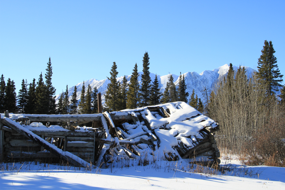
I decided to take the short side road to the ghost town of Silver City to check for photo ops. This was the service town for the Kluane Lake goldfields starting in 1904. There have been some changes in the 23 years I’ve been going there, but surprisingly few.
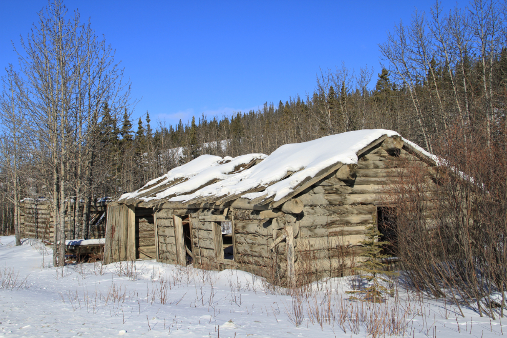
This collapsed roof has just happened in the past few years.
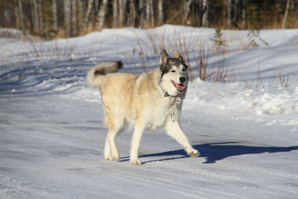
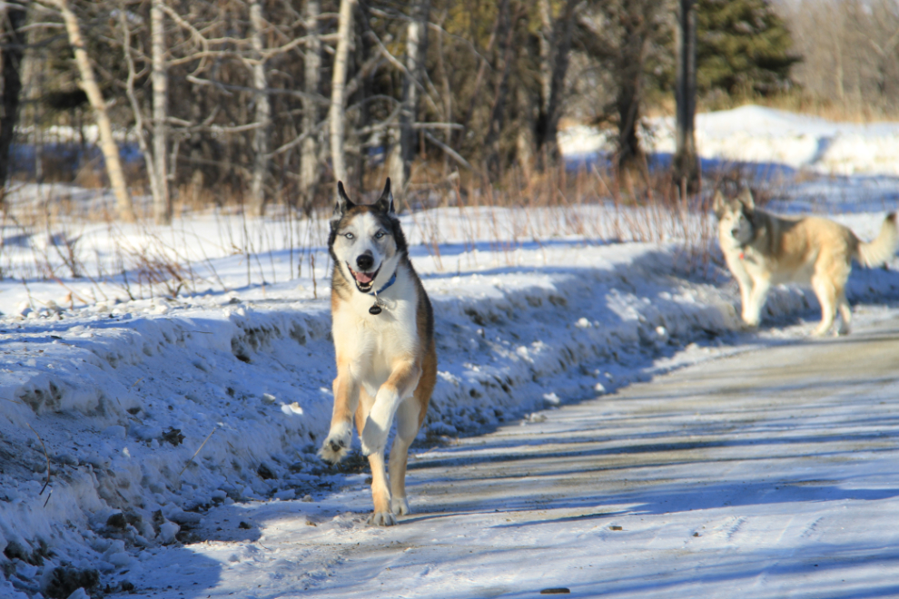
Kayla and Monty playing at Silver City 🙂
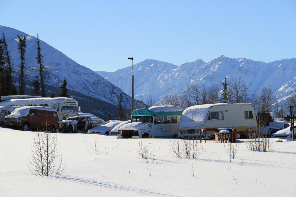
The Silver City road is one of the oddest places I’ve ever seen a vehicle wrecking yard appear. This “collection” has all just been hauled here in the past dozen or so years – there are only a handful of people living within 30 miles or so, and it doesn’t appear to be a business in any case.
The weather forecast had been accurate, but it was clear that only the mass of the Kluane and St. Elias mountains kept the clouds in Alaska.
This was one of those days that I didn’t really want to end, but it did, and it was a great incentive to get out hiking more in the sunny days that are forecast to be ahead. 🙂